Elephant Mountain Hike
Spur Cross Regional Park, Arizona • December 2012 |
|
The Spur Cross Regional Park is located in north Cave Creek, abutting the Tonto National Forest boundary. It is one of Maricopa County's "Regional Parks", offering hiking, biking and equestrian trails that wind through the bluffs, mesas and high desert below Skull Mesa and the New River Mountains. The park was organized around 2003, but today would be my first visit here.
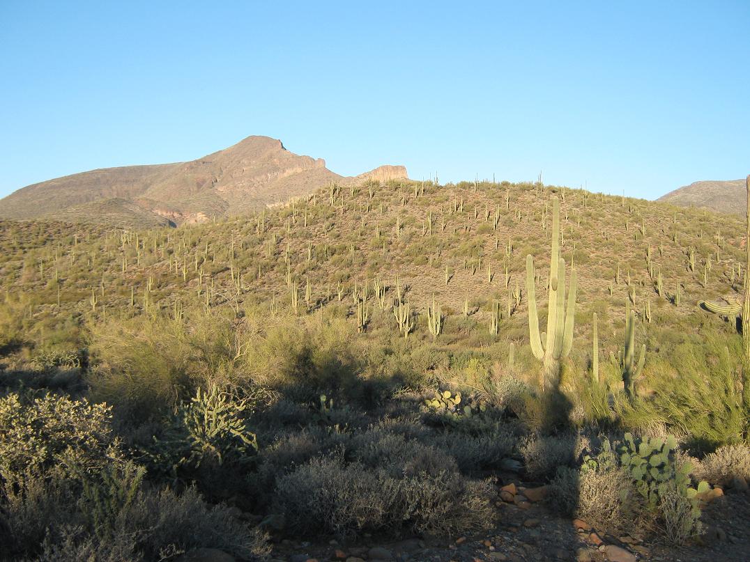
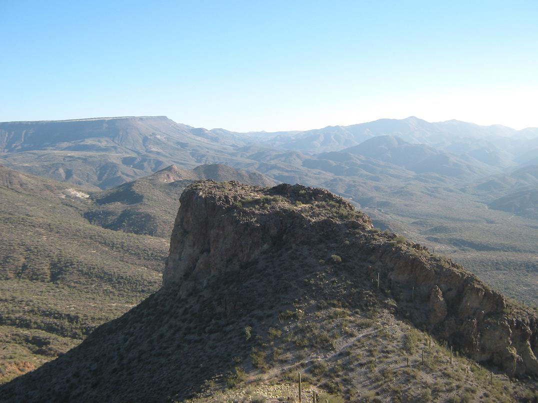
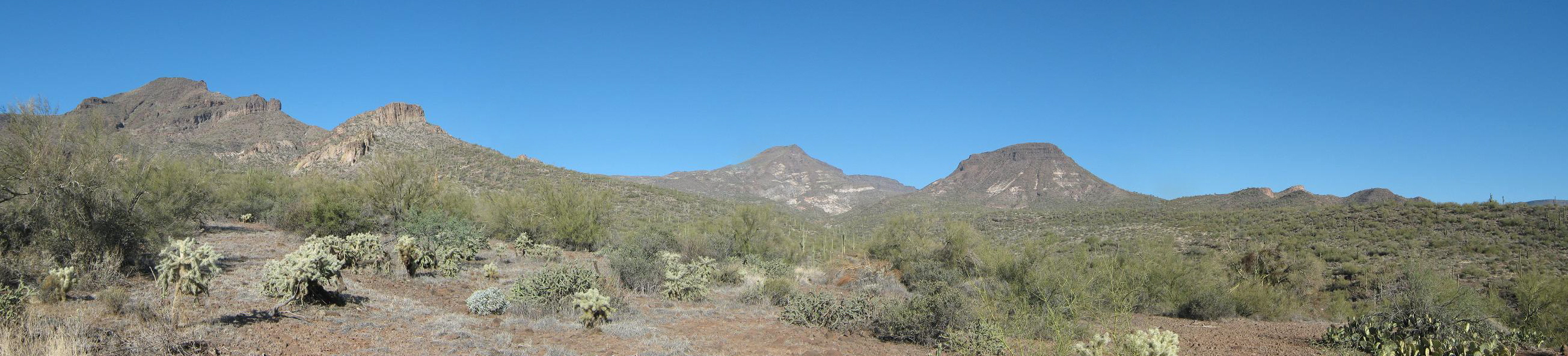
My intended goal was to hike to the top of Elephant Mountain, the most notable landmark of the park. From the trailhead, the peak has an "elephant" profile. A smaller sub-peak immediately north of the peak features old rock walls and artifacts from the days when the aboriginal peoples lived here. It is called the Elephant Mountain Fortification.
I left home early in the morning, the day very cool but cloudless. I followed Cave Creek Road into the town, then Spur Cross Road through scattered residential properties north about five miles to the parking area and trailhead, arriving about 7:30 as the sun was rising. I was the fifth car here, but I didn't see anyone around. I paid the $3 fee and started my hike, following the Spur Cross Trail at first, angling left from the main information kiosk. They had free maps, which showed the network of trails.
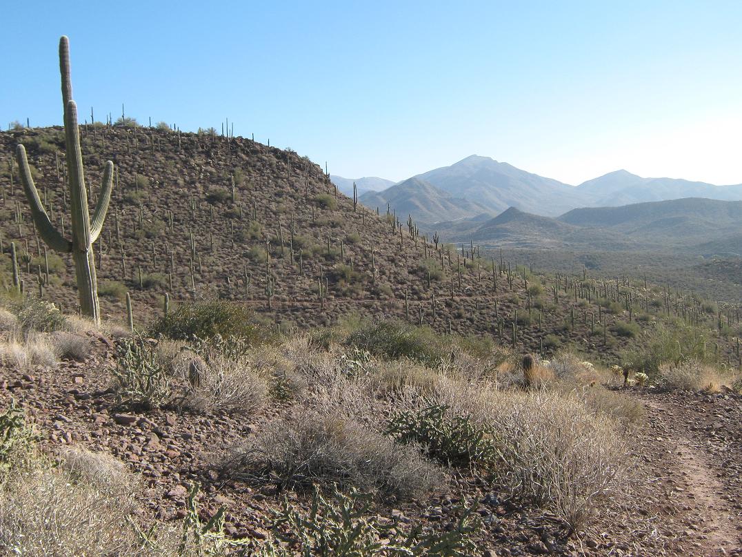
Spur Cross Trail drops into Cave Creek, then up the other side. The trail (an old road, really) works up a ridge, then down its other side. I followed the various trails emanating off of Spur Cross Trail, following the MXXX trail then the Elephant Mountain Trail. I saw a guy walking his dog and later, was passed up by a woman out jogging. After about two miles, I angled left onto the continuation of the Elephant Mountain Trail, which cut west through a drainage, following the sandy watercourse for much of the way. This put me directly below Elephant Mountain. The trail then gained steeply up the desert slopes and after a steady grind, I was now in the saddle separating the "Fort" hill and the main mass of the mountain. To here I had hiked about three miles in about 75 minutes. The day was warming slightly, but was very still and I had not seen anyone since the jogger.
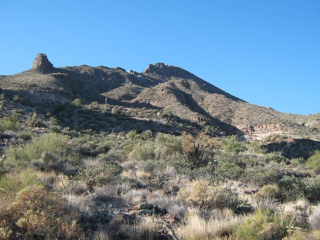
I had intentions to climb Elephant Mountain, but the trail map showed no trails to its top, and the cliffy extrusions, plus the steep slopes, suggested I may be in for more than I planned. Still, when I arrived to the saddle, sure enough I saw a footpath leading up slope toward the top. Surely, people before me had blazed a way to the summit. So I started up, the slope covered in cholla cactus, and yes, I caught one in the leg. My immediate goal was a big rock fin above me, about 400 vertical feet above the saddle. The slopes steepened considerably as I neared this rock. The trail then went right and below the rocky mass, but very soon the way became very loose and treacherous. I came to what I thought was the trail (it probably was), but the slope was a loose aggregate of fist-sized rock, and none of it stable. I struggled up about 15 feet of this ugliness. Of concern was the run-out below: there was a drop-off of about 20 feet straight down. Looking up, it looked like a mess, and frankly, this wasn't what I wanted to be doing, and the peak wasn't worth this much effort. I abandoned the attempt and returned to the saddle.
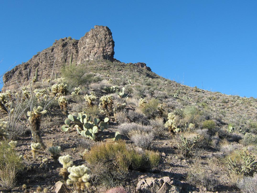
On the hike down I had great views of the rocky fortifications across the way on the smaller peak, but I elected not to hike to it, even though there's a trail. A sign emphatically declared the trail closed except to guided hikes and I figured I would honor that. I thought my views from up high were good enough.
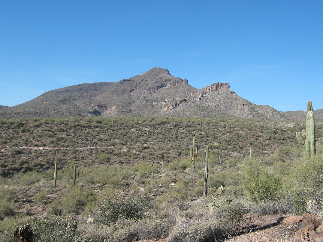
For the hike back to my truck, I decided to continue southeast down the Elephant Mountain Trail, which dropped about 600 feet in a little under a mile to come again to the Spur Cross Trail. The hike down was lovely, with great views both above and below me. I inspected Elephant Mountain from different viewpoints and concluded that some ways up the steep slopes would be possible, but the slopes were covered in cactus and small cliff bands. I probably won't ever bother to hike this summit for these reasons.
My hike out went well. Once on the Spur Cross Trail, I followed it for about two miles and a little extra, seeing more people out on the trails by now. I was back to my truck by 11, meaning I had been out for a little over three hours. Going by the mileages on the trail map, I covered about 7.5 miles total, with about 1,000 feet of gross gain.
Despite not achieving my intended goal, I enjoyed the hike and was happy to have explored this out-of-the-way park. The scenery was gorgeous and I had a good, energetic hike as my reward.
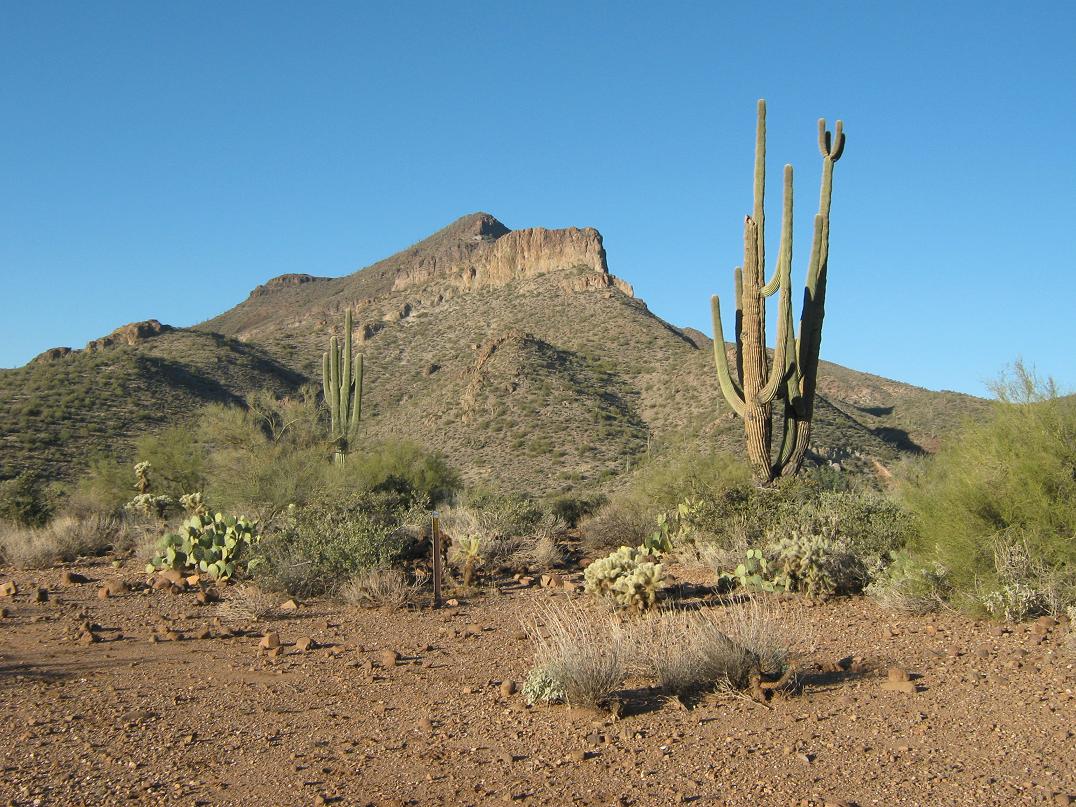
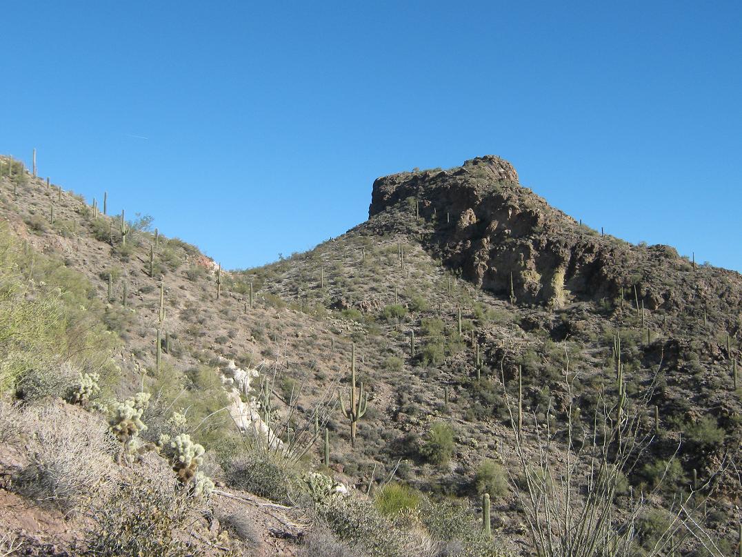
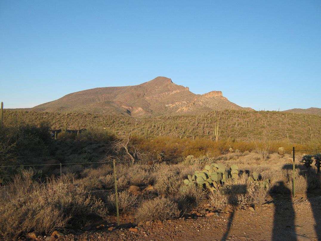 View of Elephant Mountain as I start the hike
|
|
(c) 2013 Scott Surgent. For entertainment purposes only.
|