
Black Mesa South (Beeline Highway)
March 23, 2020
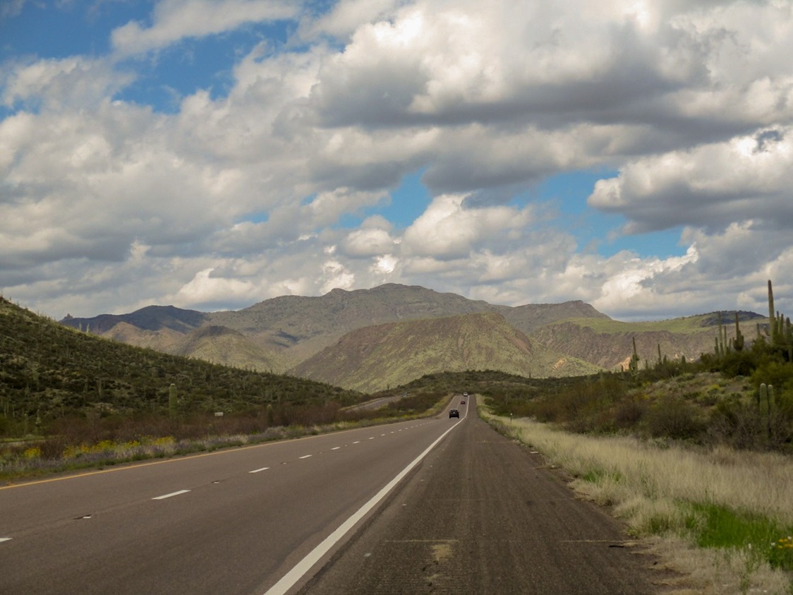
Driving north on the Beeline Highway, these two mesas come into view. I climbed the one on the left.
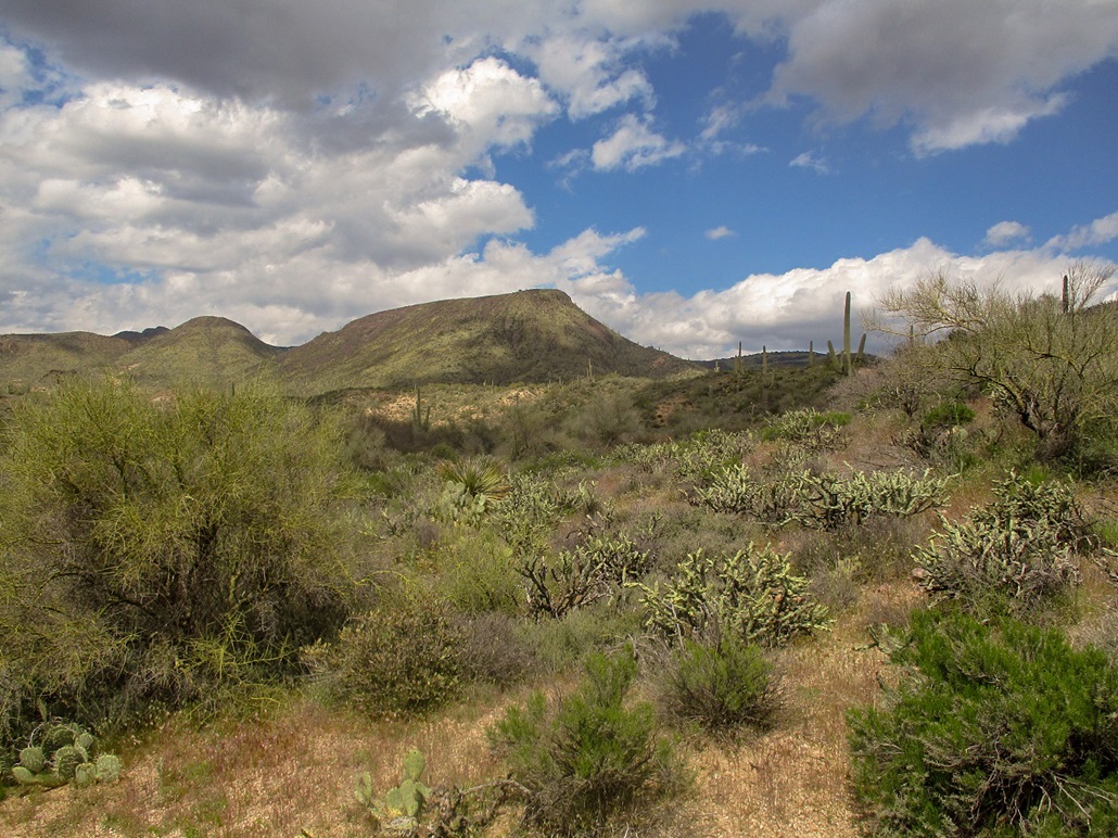
The south Black Mesa as seen from the forest road, still close to the start.
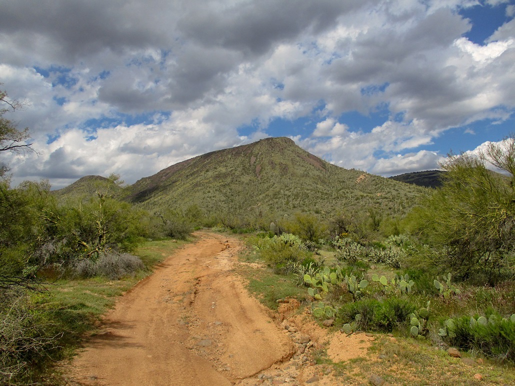
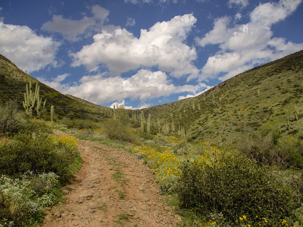
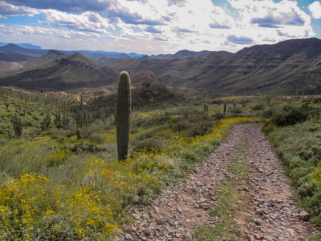
Another view about a mile closer.
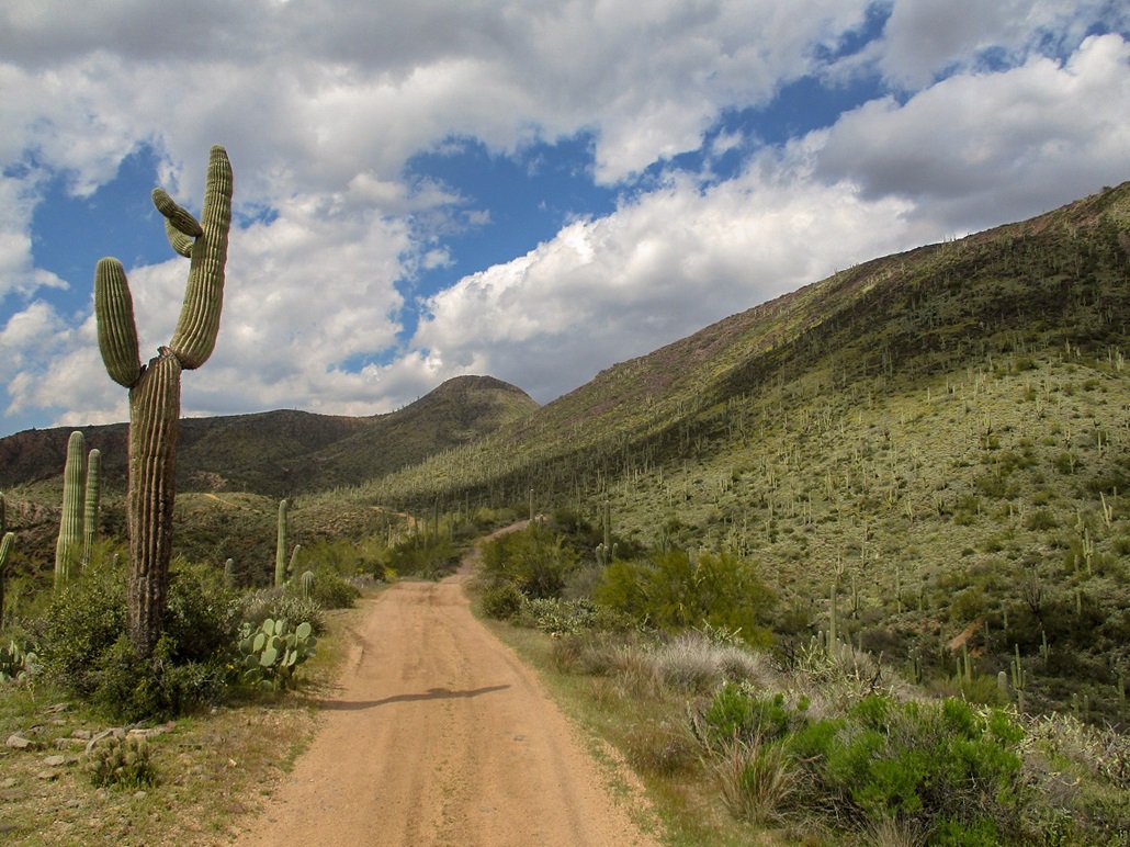
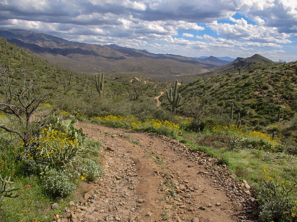
The road crosses below the mesa and aims for a lowpoint between the mesa and the rounded bump seen ahead.
Nearing the saddle, Black Mesa South is to the right.
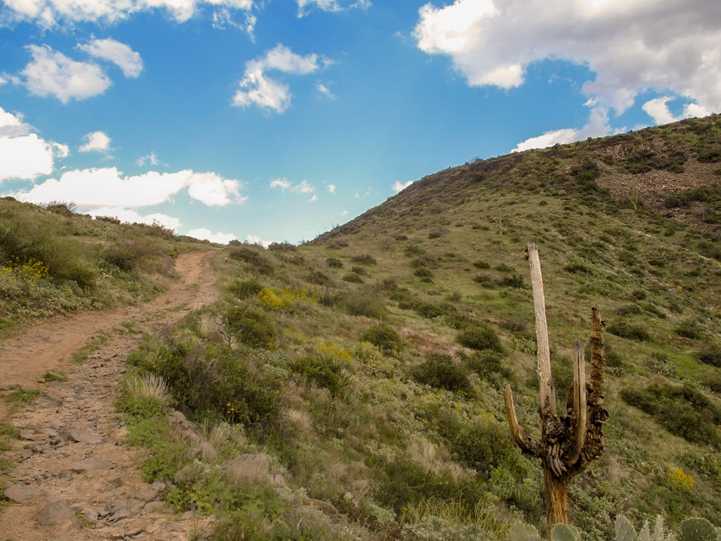
Almost to the saddle, an interesting saguaro skeleton.
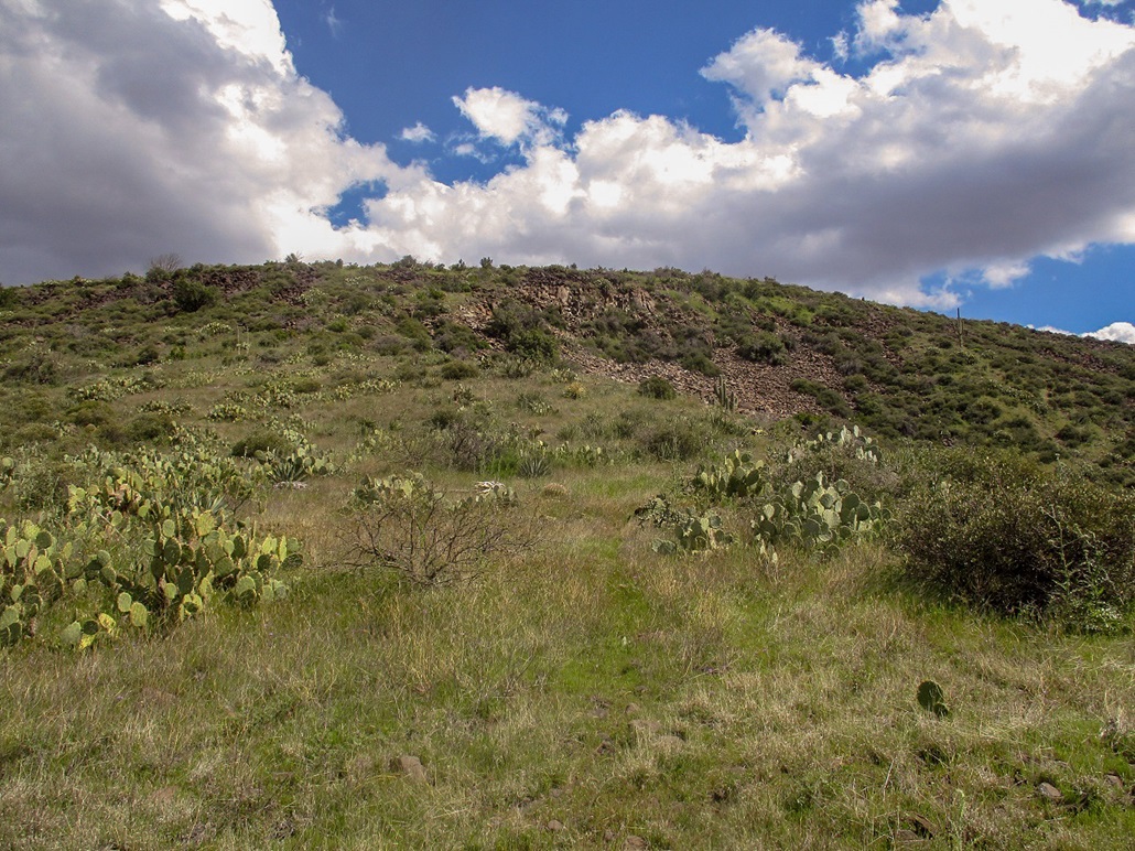
At the saddle, I now have to climb this slope.
View from the summit looking east.
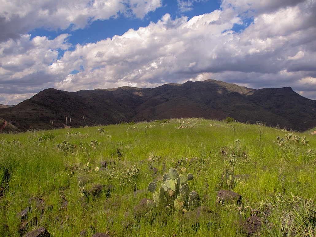
West view.
South view.
North View, the slightly bigger Black Mesa North.
Walking back down to the road.
Hiking out now.
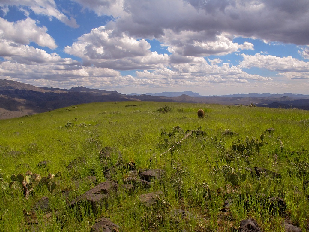
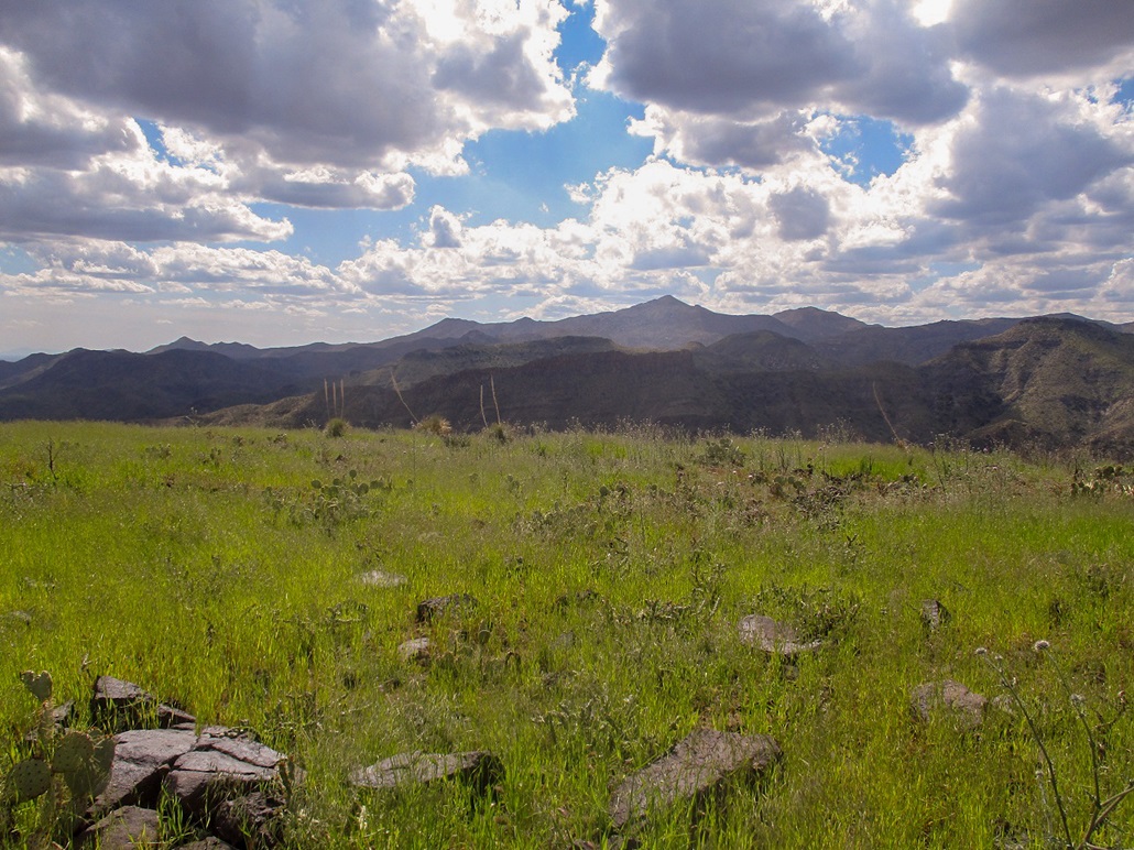
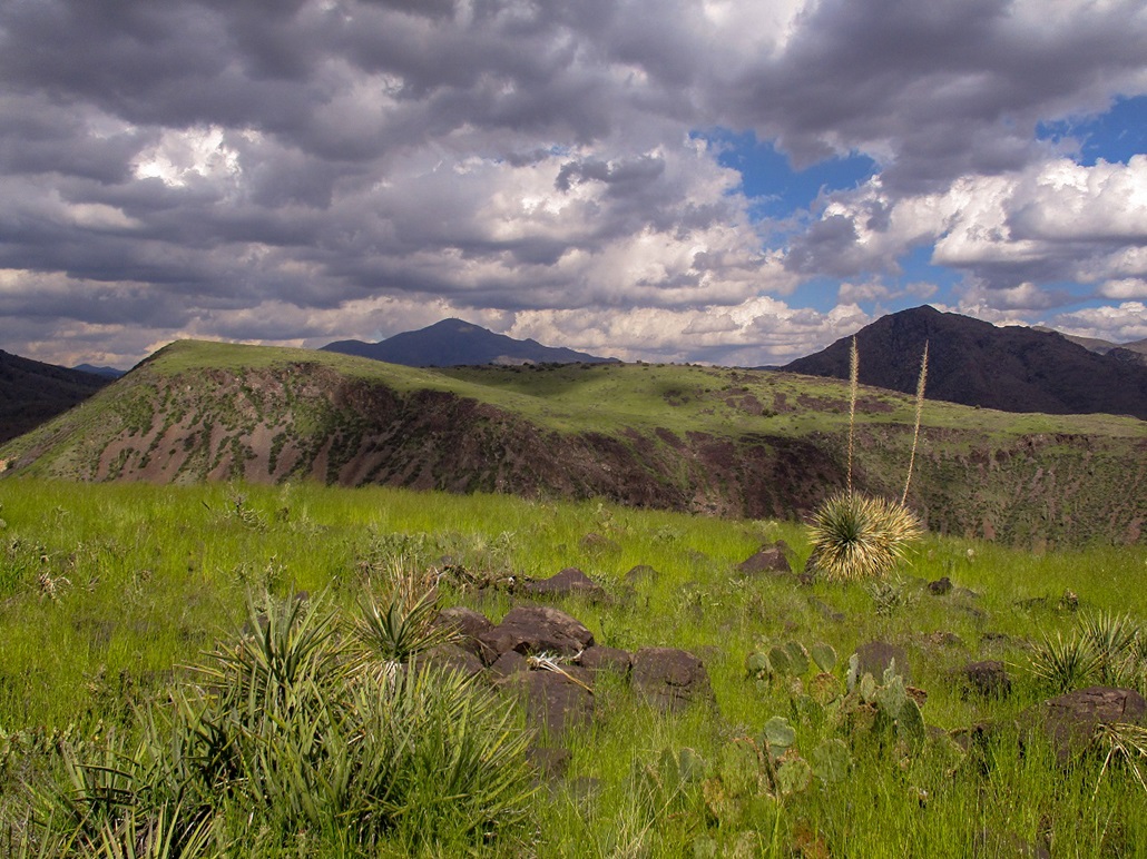
Lower down, a sweep of surrounding peaks and clouds.
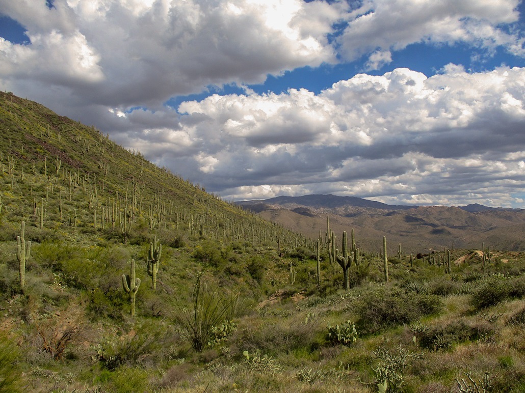
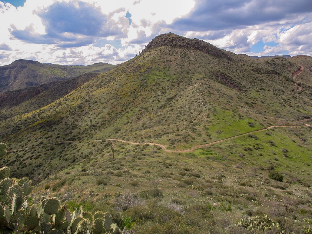
Dense saguaro forest on the south slopes of the mesa.
Arizona Page • Main Page • Trip Report
Mobile version (c) 2020 Scott Surgent. For entertainment purposes only. This report is not meant to replace maps, compass, gps and other common sense hiking/navigation items. Neither I nor the webhost can be held responsible for unfortunate situations that may arise based on these trip reports. Conditions (physical and legal) change over time! Some of these hikes are major mountaineering or backpacking endeavors that require skill, proper gear, proper fitness and general experience.