October 8, 2022
Peak 3937 - Last Chance Mine Peak
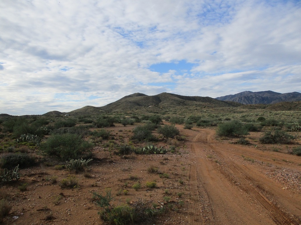
The summit from where the road crasts
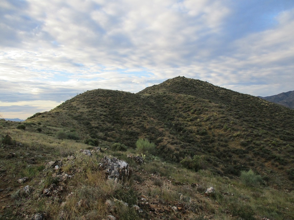
Now much closer

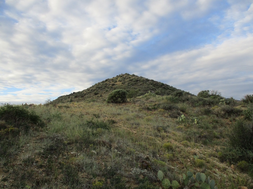
Now the summit is mere feet away
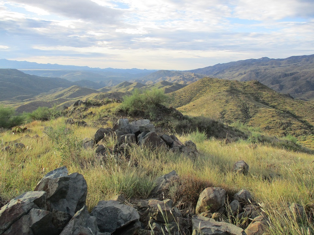
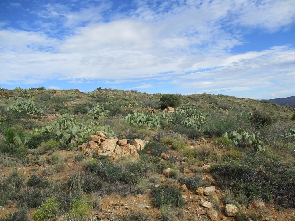
Looking south
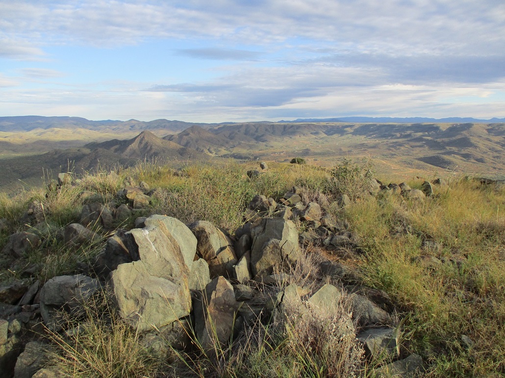
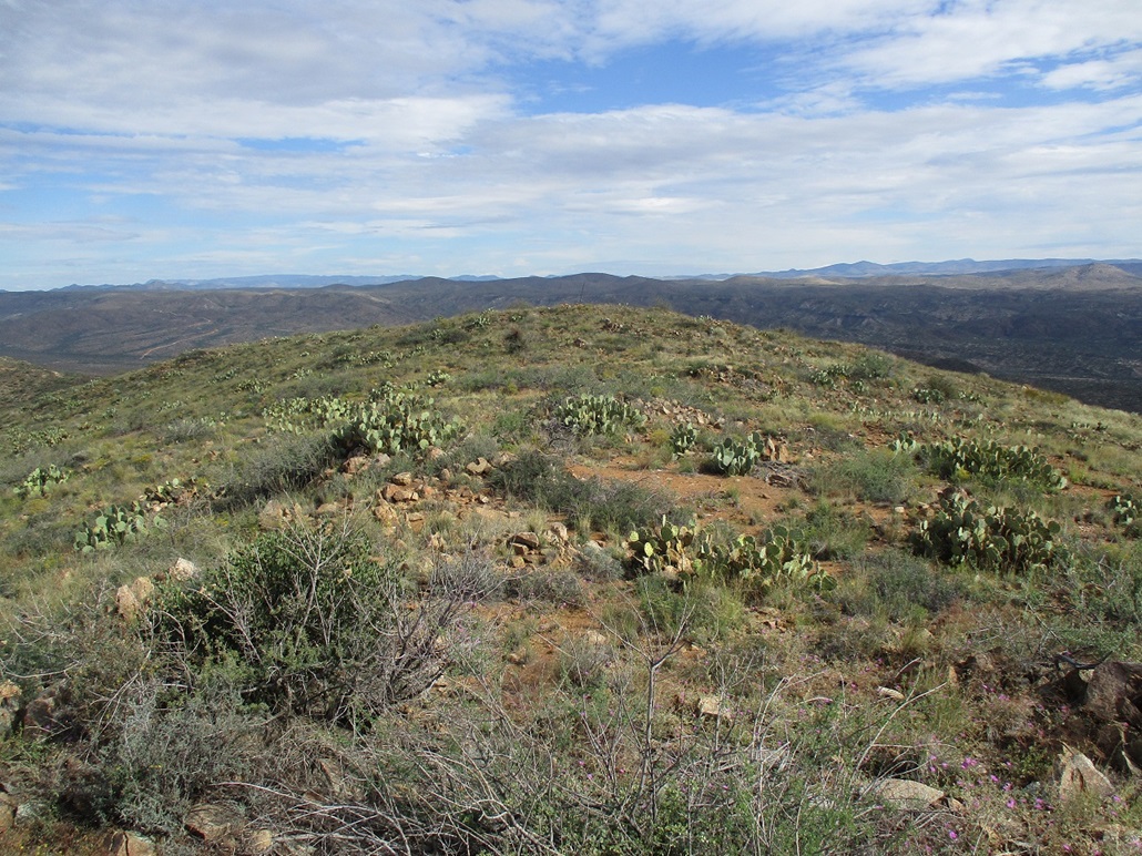
Now looking north
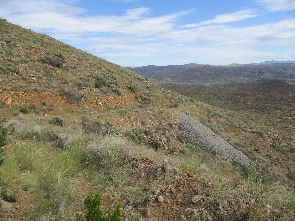
A look down from whence I came. My car is the shiny speck seen near the bend in the road
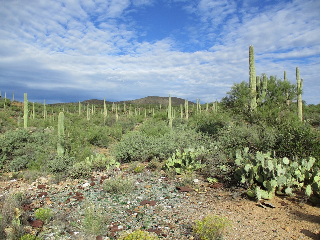
Bland Hill as viewed from where I started walking, and saguaro
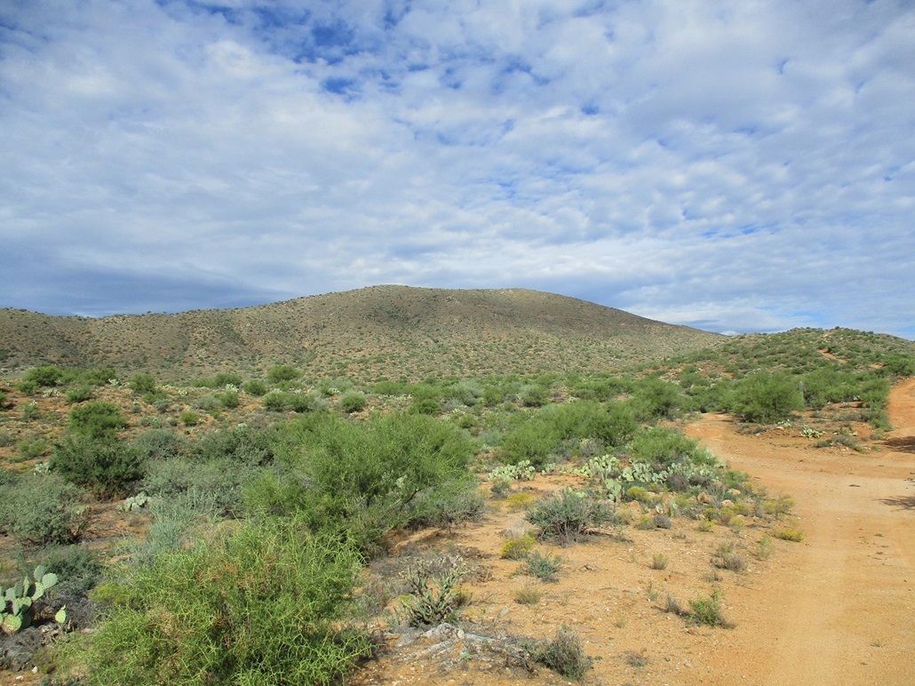
Now seen about halfway up, the jeep track can barely be seen on its side
As I near the top ridge, the two summit points are now visible
A view of the north summit point from the south one

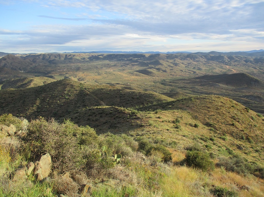
View slightly left, Peak 3937 is seen slightly left of center, in shadow

The southern summit point as seen from the northern one

The height-of-light pole on the north summit
Mine tailings from the old Bland Mine

Looking down into the shaft near the tailings. That is the hole of death if you ask me.
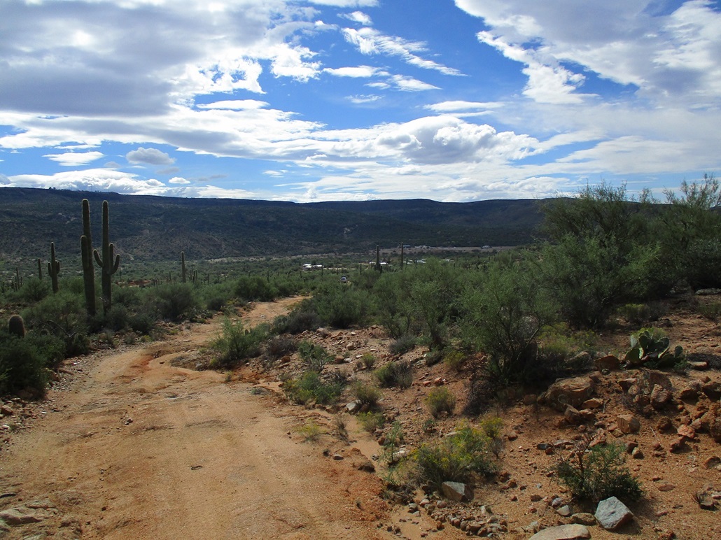
I return to my car, with the village of Bumble Bee behind. The Sunset Point rest stop on Interstate-17 lies atop the plateau with the towers, at the left side of the image
Arizona Page • Main Page • Trip Report
(c) 2022 Scott Surgent. For entertainment purposes only. This report is not meant to replace maps, compass, gps and other common sense hiking/navigation items. Neither I nor the webhost can be held responsible for unfortunate situations that may arise based on these trip reports. Conditions (physical and legal) change over time! Some of these hikes are major mountaineering or backpacking endeavors that require skill, proper gear, proper fitness and general experience.