
Greenwood Peak
February 2, 2020
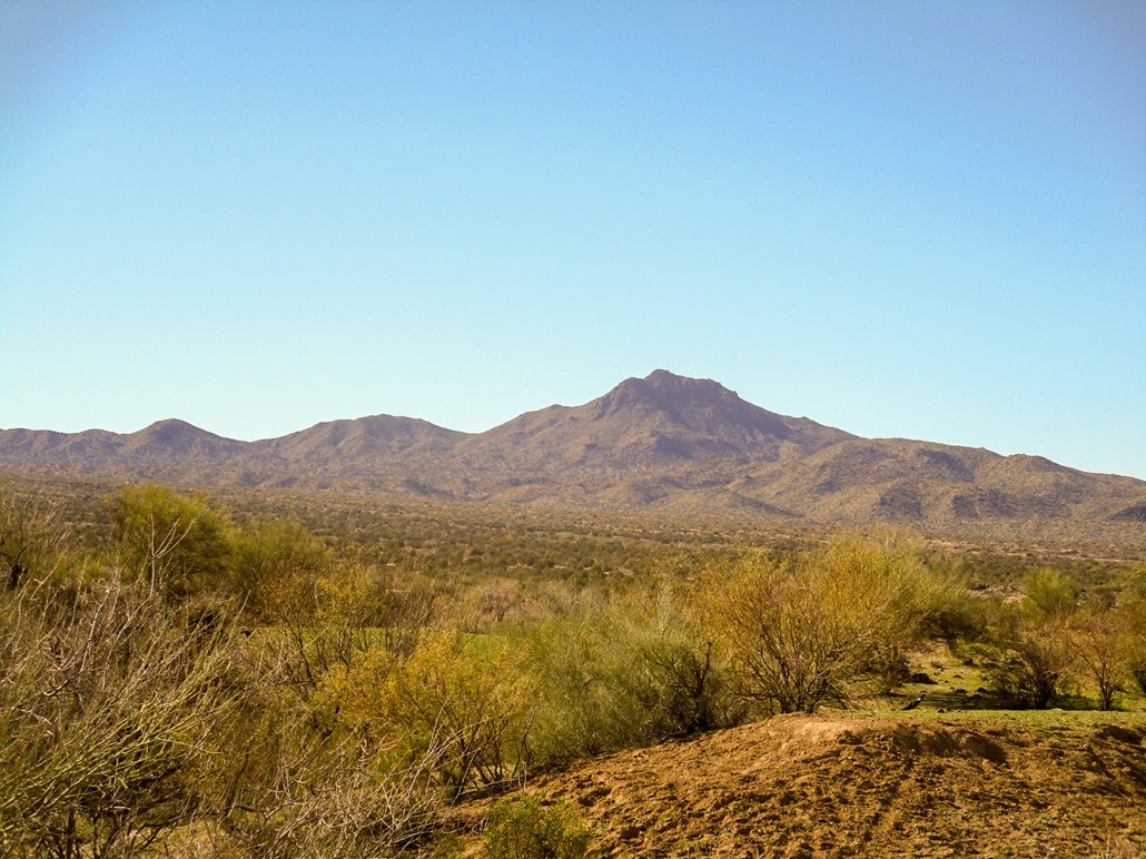
Greenwood Peak as seen from near US-93. We followed the entire south ridge shown here
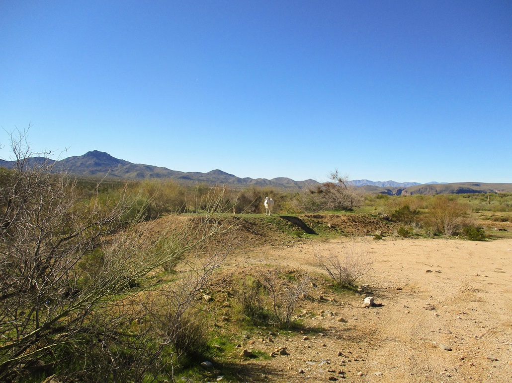
A white steer stares me down
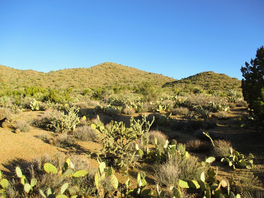
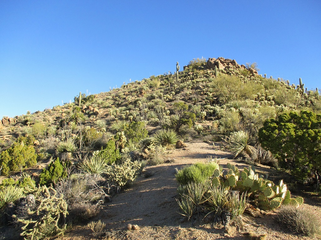
Start of the hike, lots of cactus, nice slopes
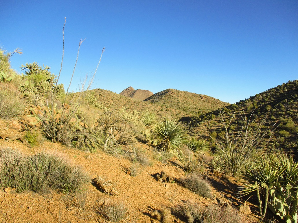
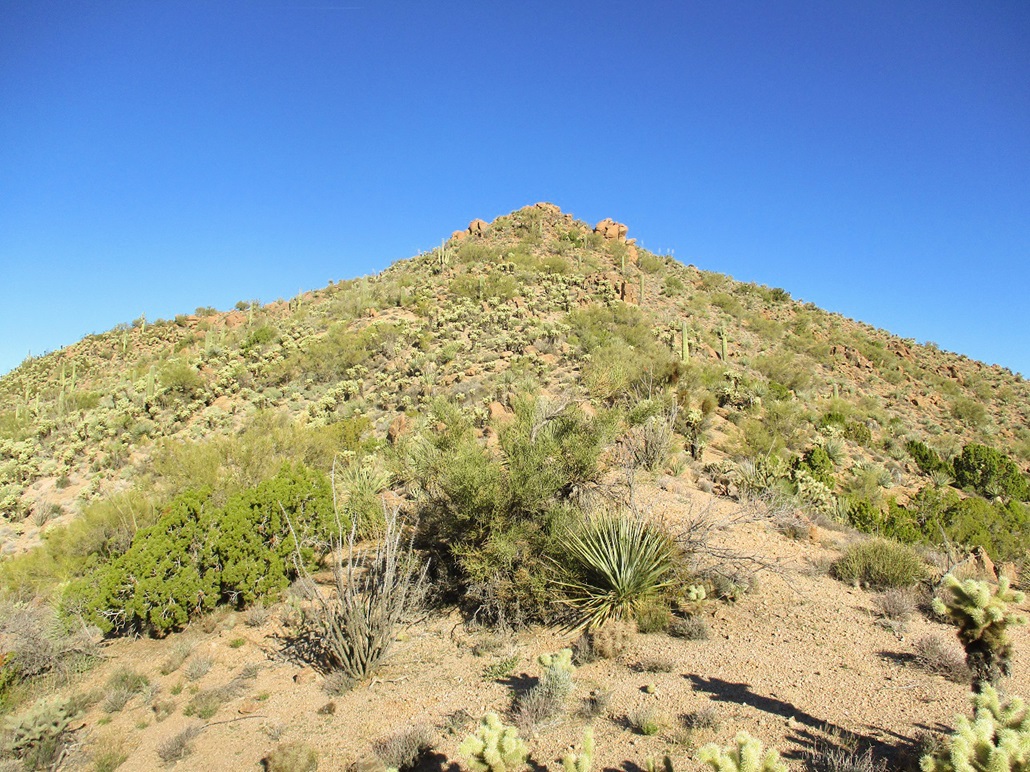
The pointy summit first appears
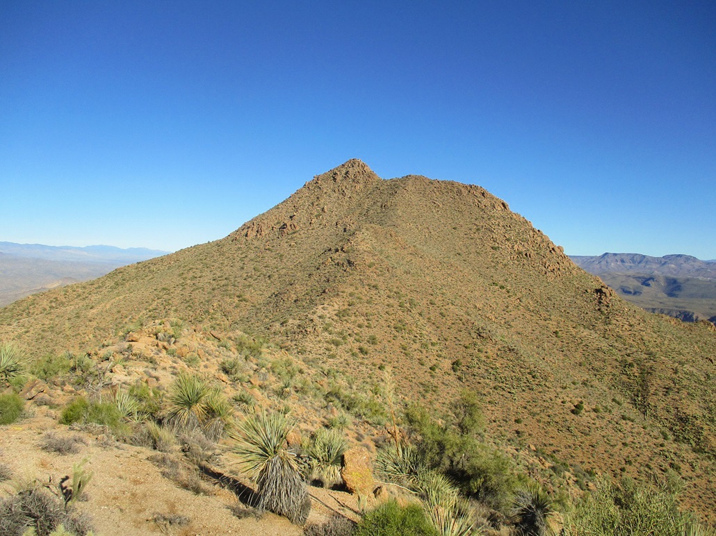
This is Peak 3750. We sidehilled to the west
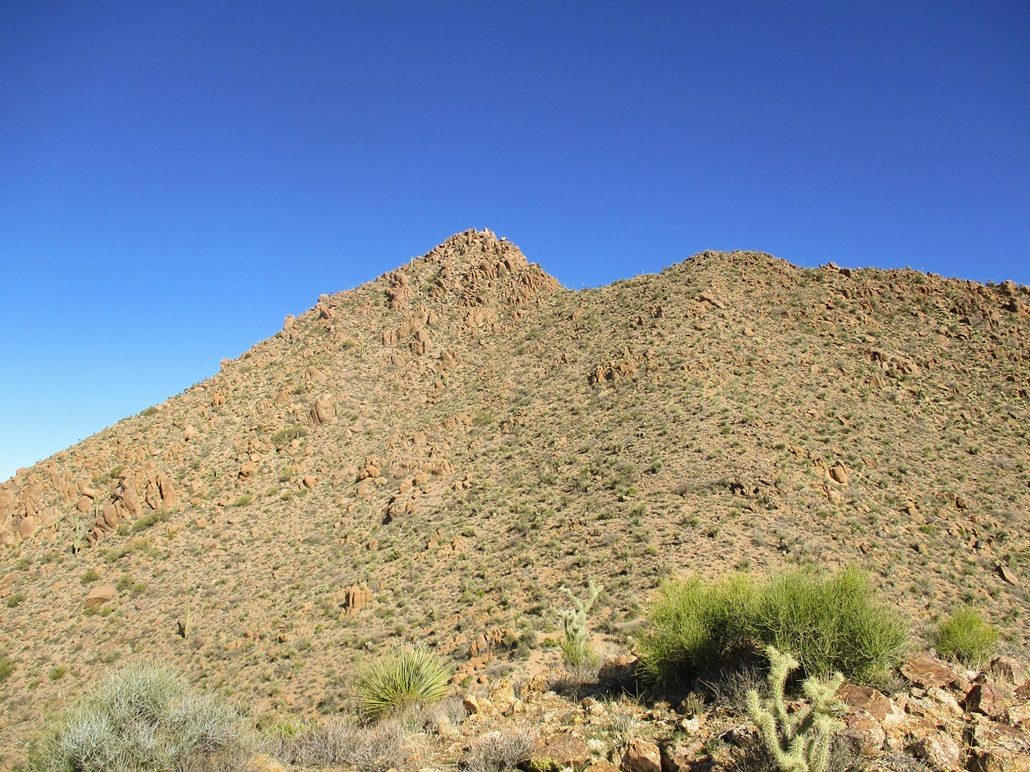
This is Peak 3866
The summit again. Looks like a lot of cliffs. Not exactly sure how to get up the thing
The summit from a higher (and closer) saddle. Still looks like a fool's errand. I don't see a way up. Maybe I should bail now
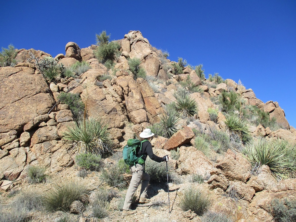
Below the summit rocks
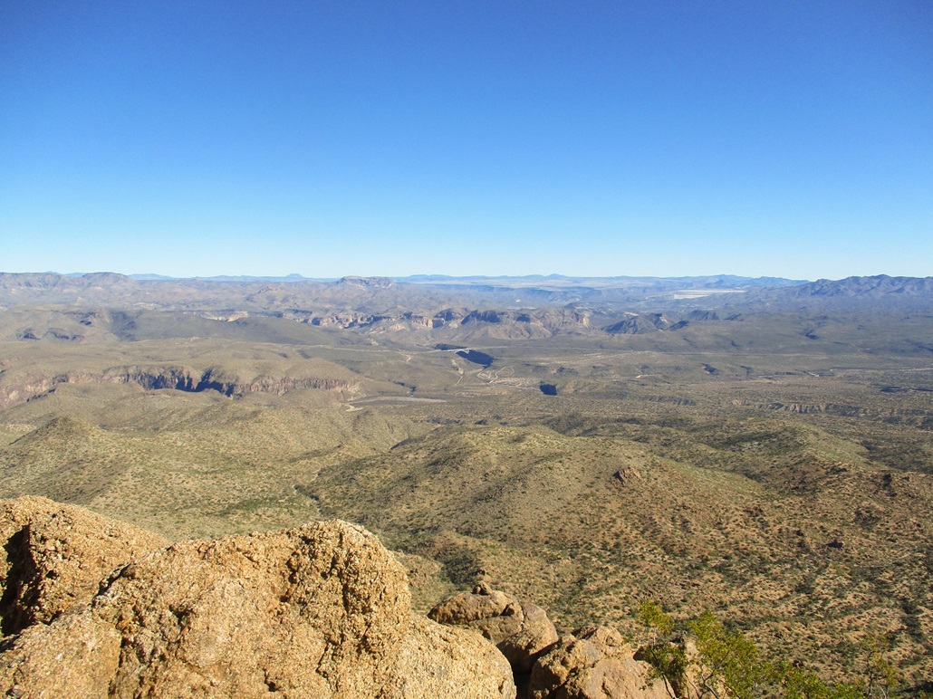
We made it! View east, with Grayback Peak to the right, and the Burro Creek Bridge on US-93
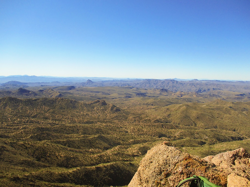
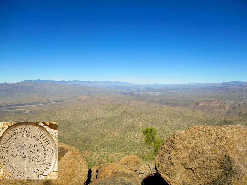
View west, toward ranges fronting the Colorado River
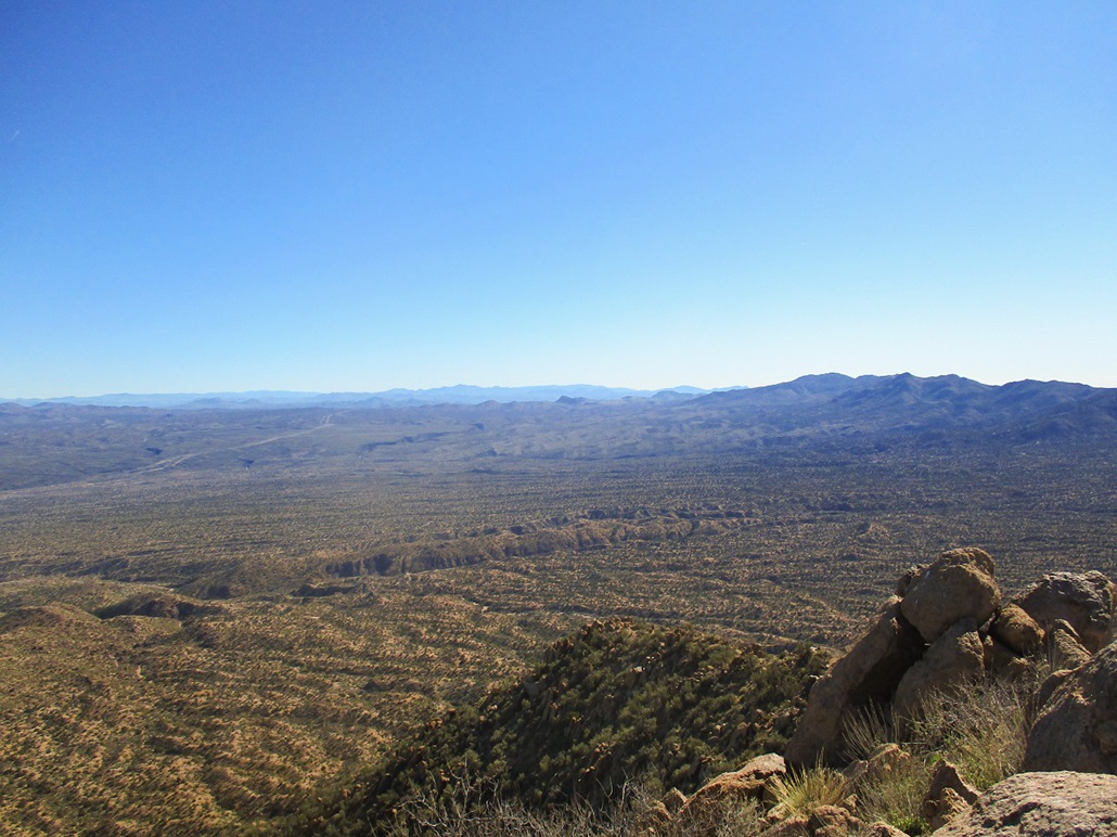
View southeast, US-93 heading to Phoenix
View northwest, the Hualapai Mountains to the left and the town of Wikieup somewhere down there
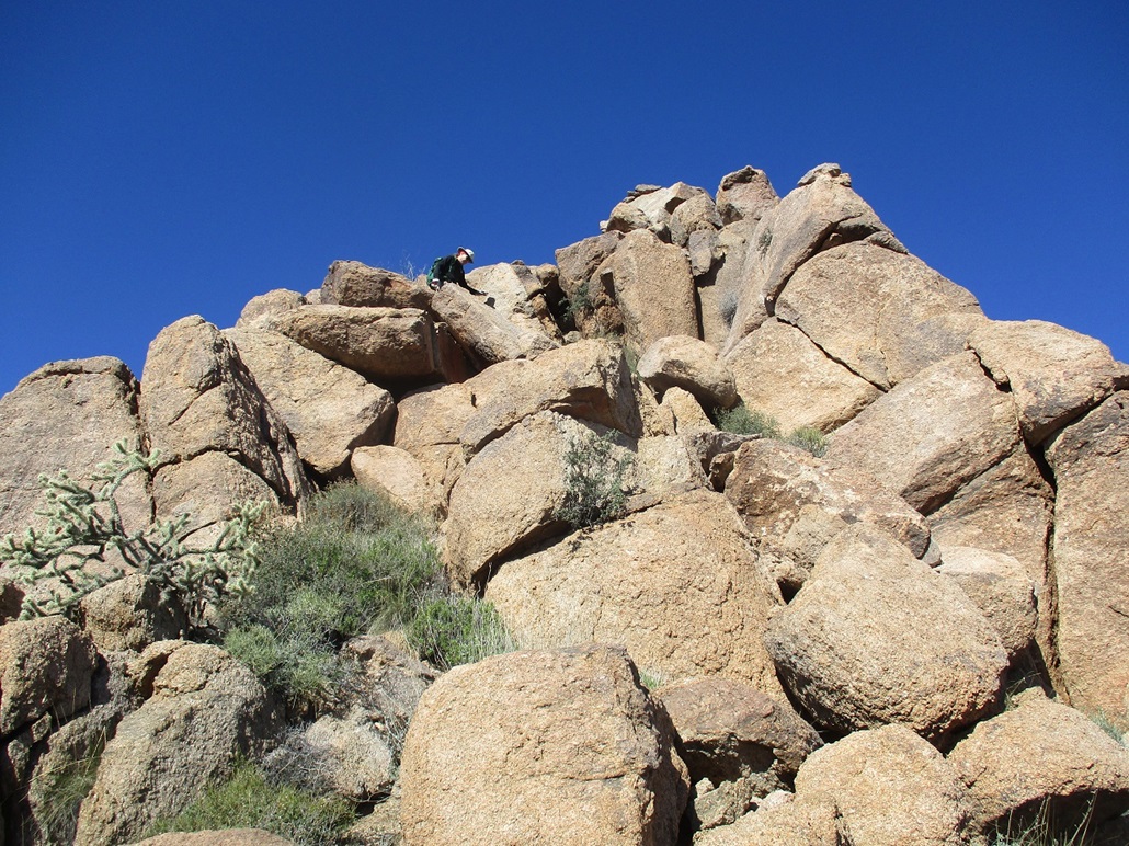
Matthias eases down the summit boulders
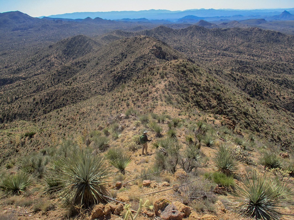
The long ridge as we descend
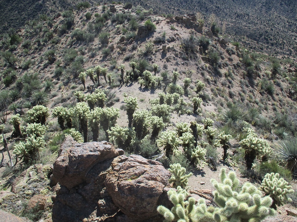
Gang of cholla await us
Arizona Page • Main Page • Trip Report
Mobile version (c) 2020 Scott Surgent. For entertainment purposes only. This report is not meant to replace maps, compass, gps and other common sense hiking/navigation items. Neither I nor the webhost can be held responsible for unfortunate situations that may arise based on these trip reports. Conditions (physical and legal) change over time! Some of these hikes are major mountaineering or backpacking endeavors that require skill, proper gear, proper fitness and general experience.