June 6, 2026
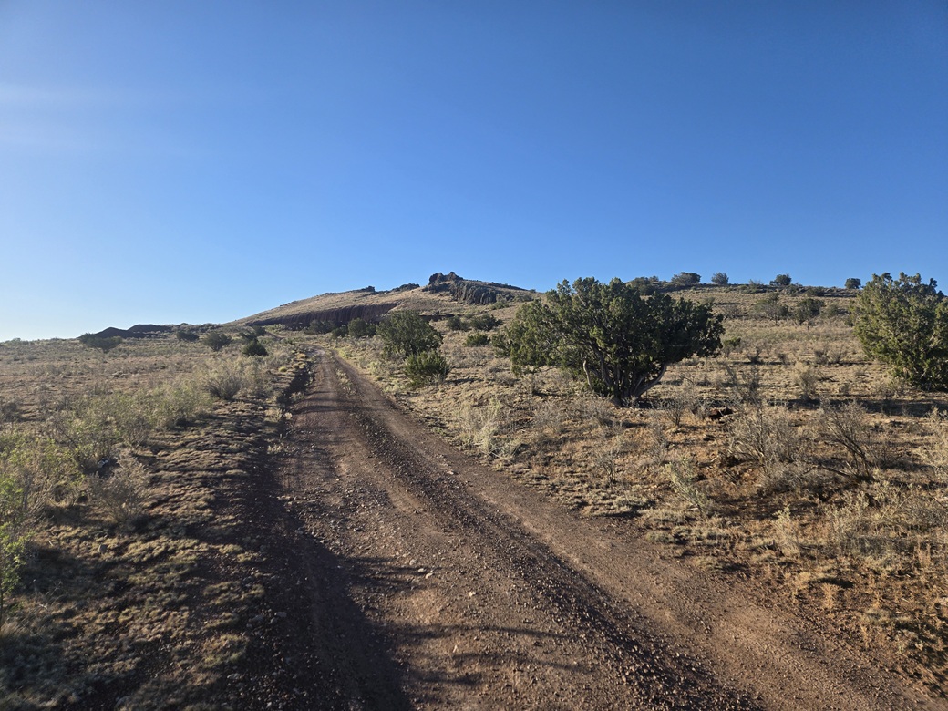
Asop Hill as seen from where I parked
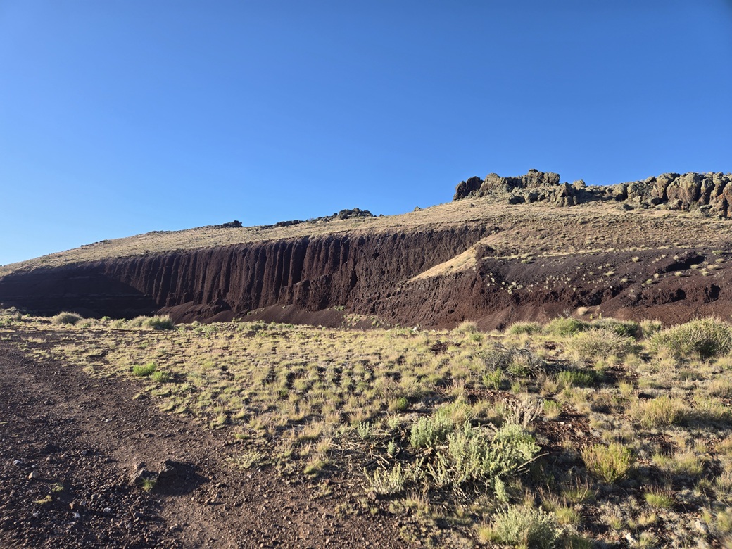
Detail of the gravel quarry
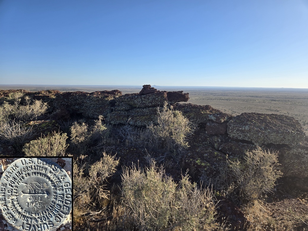
Summit rocks and one of the reference markers
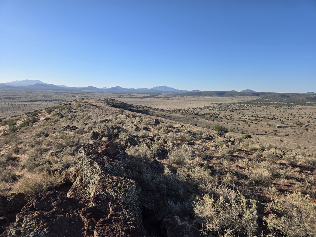
View east with the summit cairn in the image
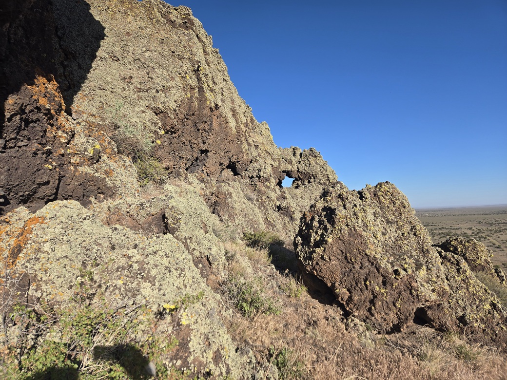
A natural hole in some nearby rocks
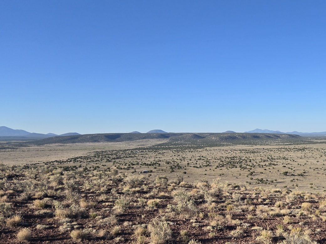
Howard Mesa as seen from Asop Hill
This is the top
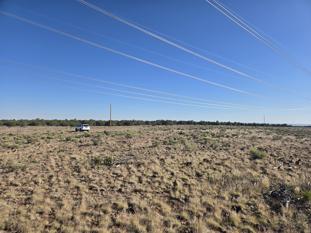
What got us here
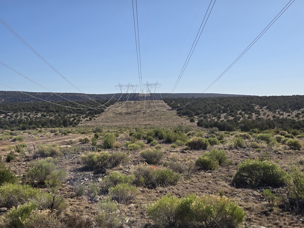
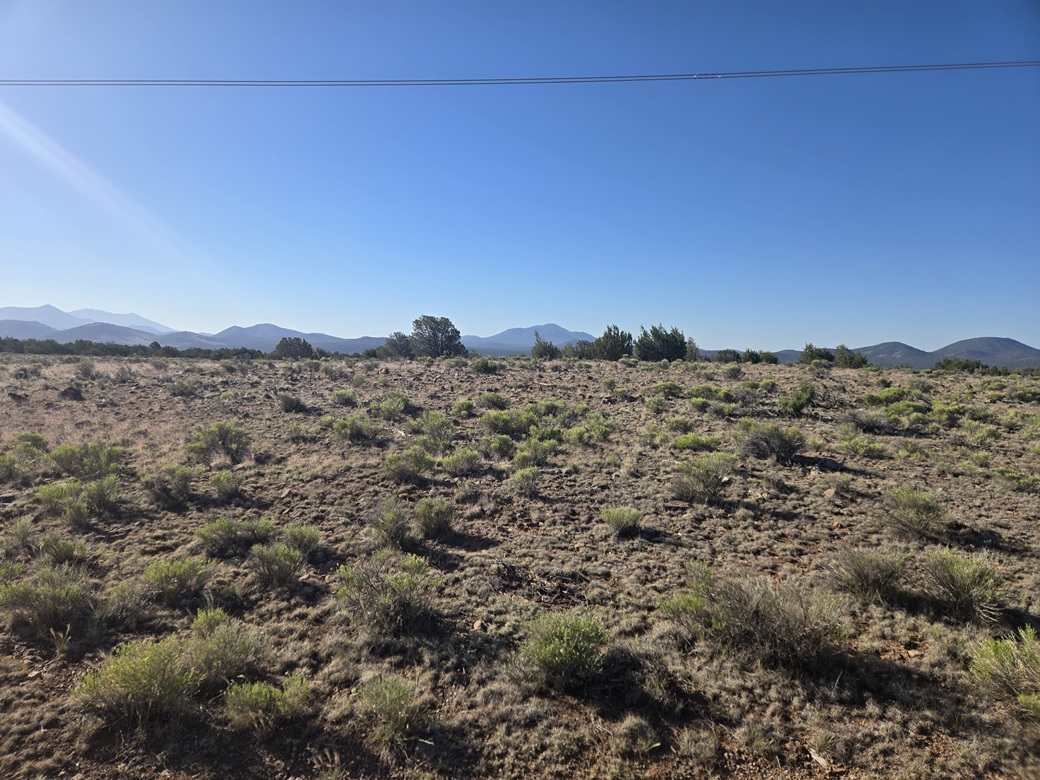
The power line clearing
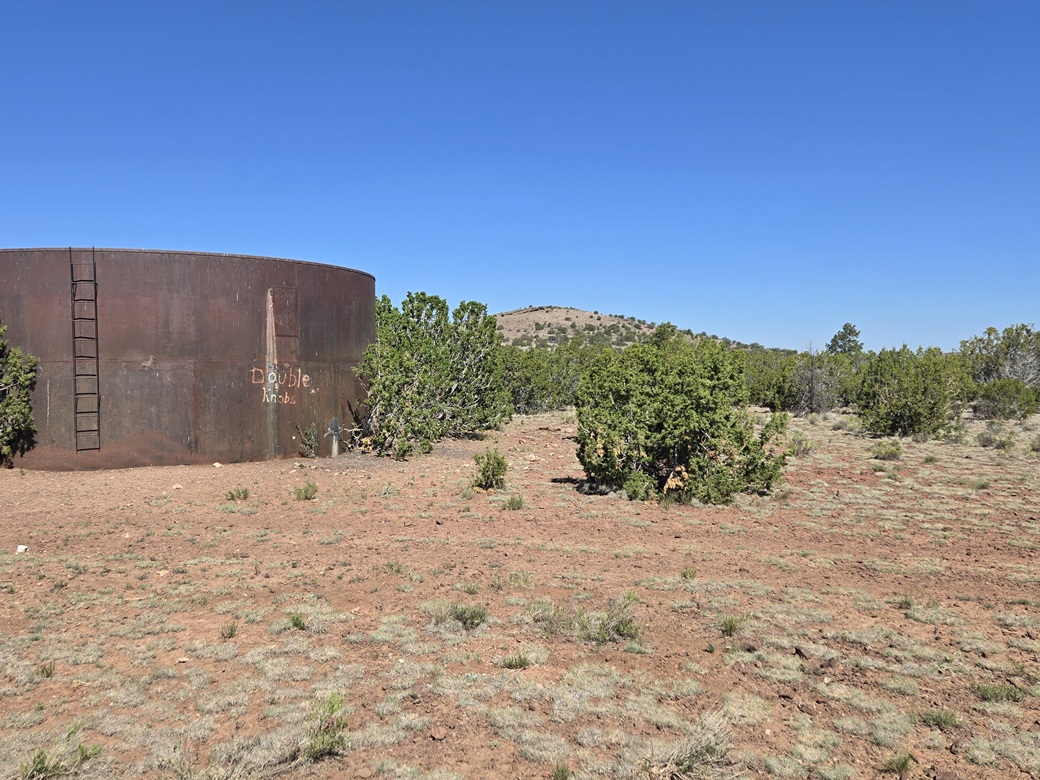
Double Knobs Highpoint Hill, with a water tank mentioning it by name
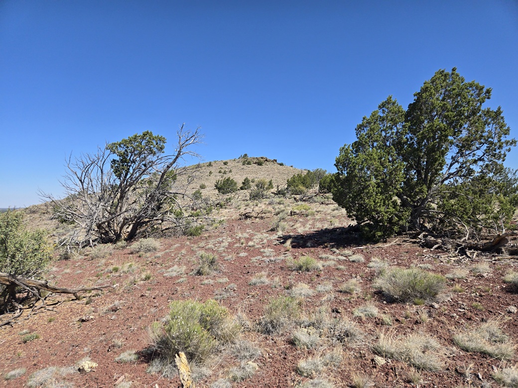
Now on the ridge
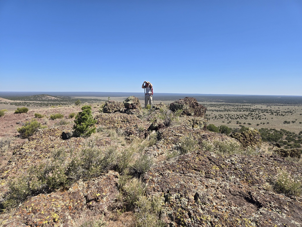
Summit rocks, the one to the right was highest
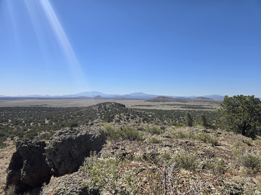
View south, Humphreys and Kendrick way in back, the Dog Knobs closer in
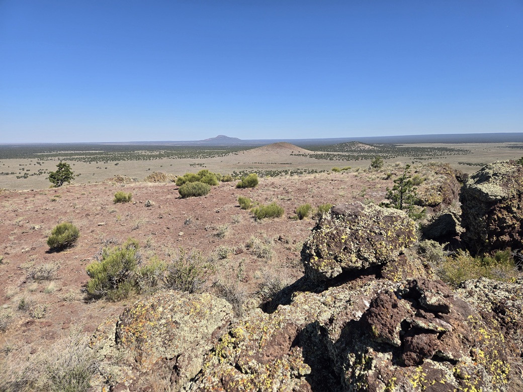
North: Bare BM Hill, and Red Butte in the distance. Beyond the farthest horizon is one of the biggest holes on Earth, the Grand Canyon
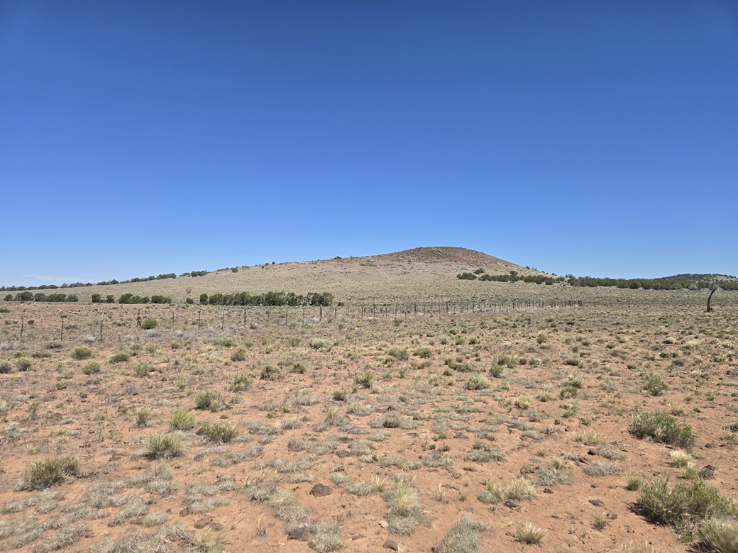
Bare Benchmark Hill from where we started
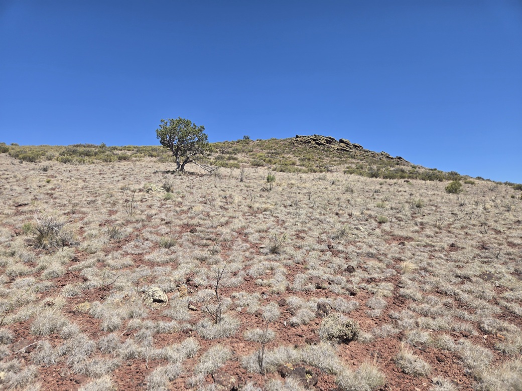
Now on the upper slopes, nearing some interesting rocks
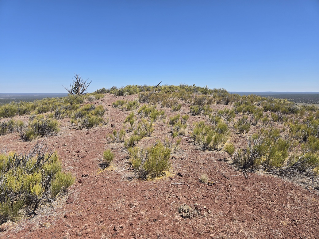
The scrubby top
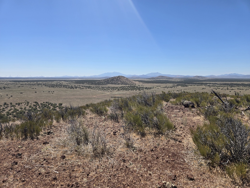
South, looking at the Double Knobs Highpoint Hill
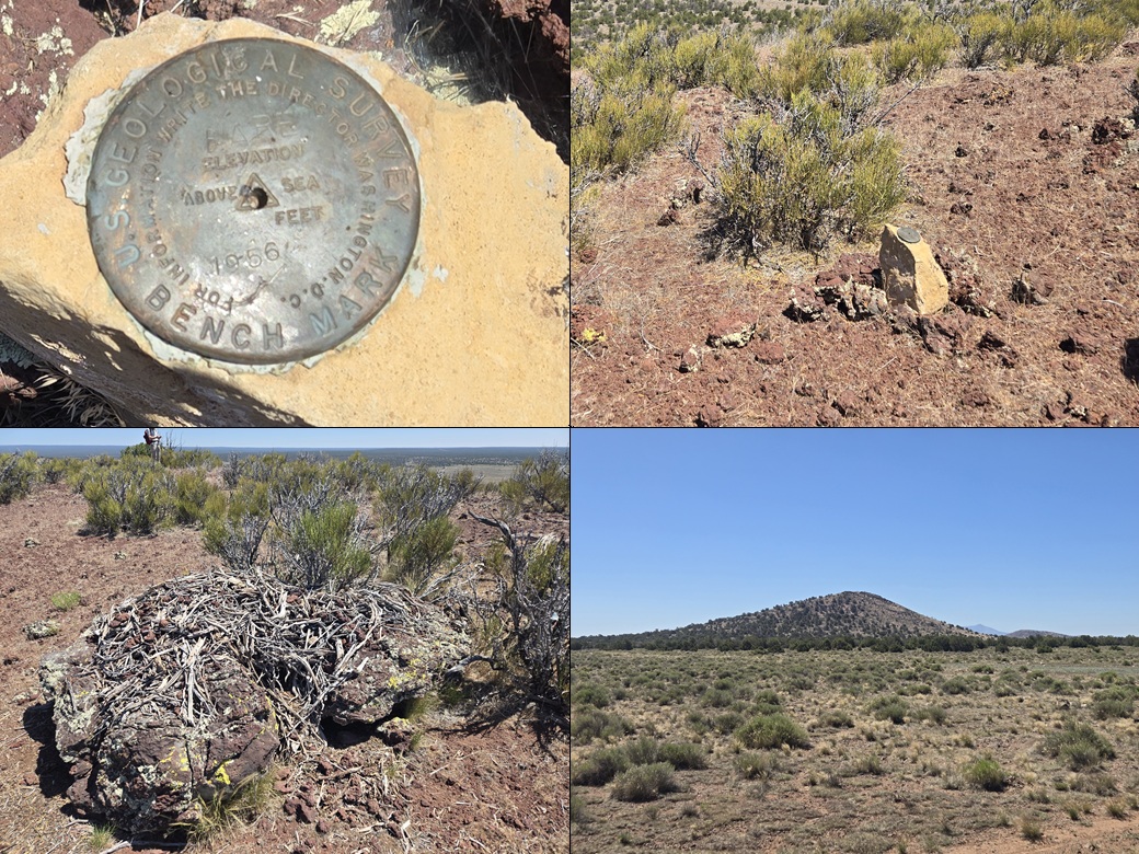
The hard-to-read benchmark, the rock on which it sits, a packrat midden, and another view of Double Knobs Highpoint
Arizona Page • Main Page • Trip Report
(c) 2026 Scott Surgent. For entertainment purposes only. This report is not meant to replace maps, compass, gps and other common sense hiking/navigation items. Neither I nor the webhost can be held responsible for unfortunate situations that may arise based on these trip reports. Conditions (physical and legal) change over time! Some of these hikes are major mountaineering or backpacking endeavors that require skill, proper gear, proper fitness and general experience.