
Maverick Butte
May 22, 2019
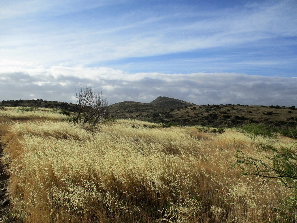
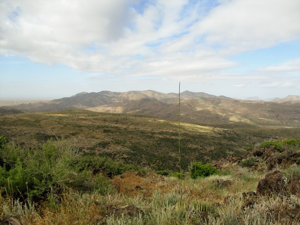
Maverick Butte first appears about two miles into the hike up the old forest track
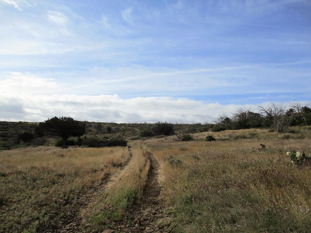
Hiking the track to Deer Flat
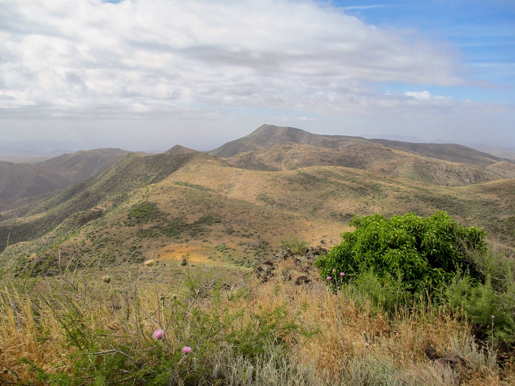
The track bends south and there stands the peak
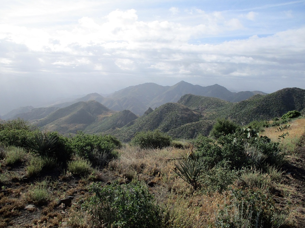
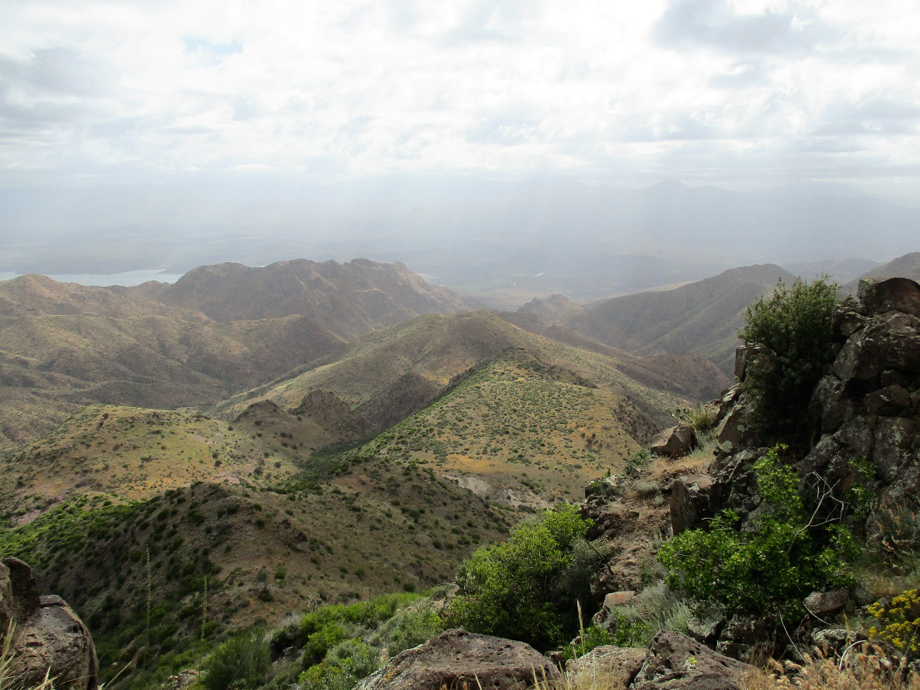
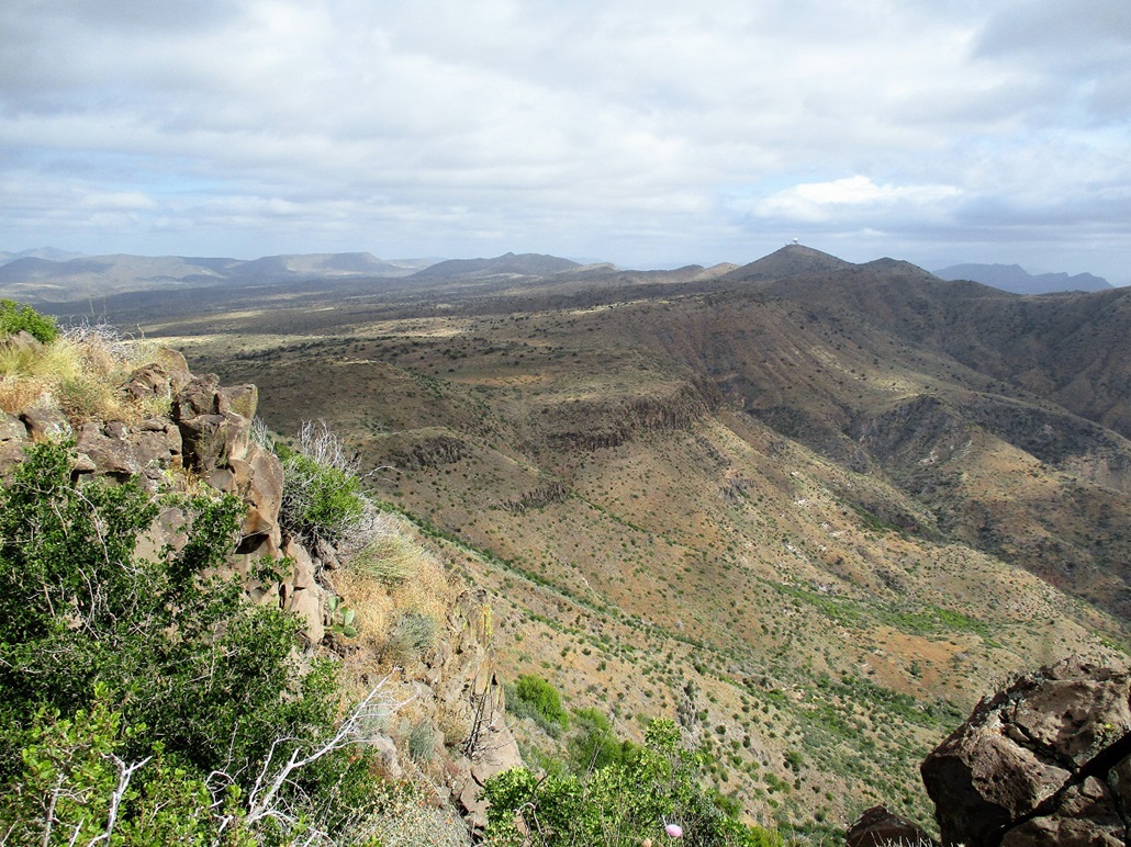
A view down into the rough canyon country below the range crest
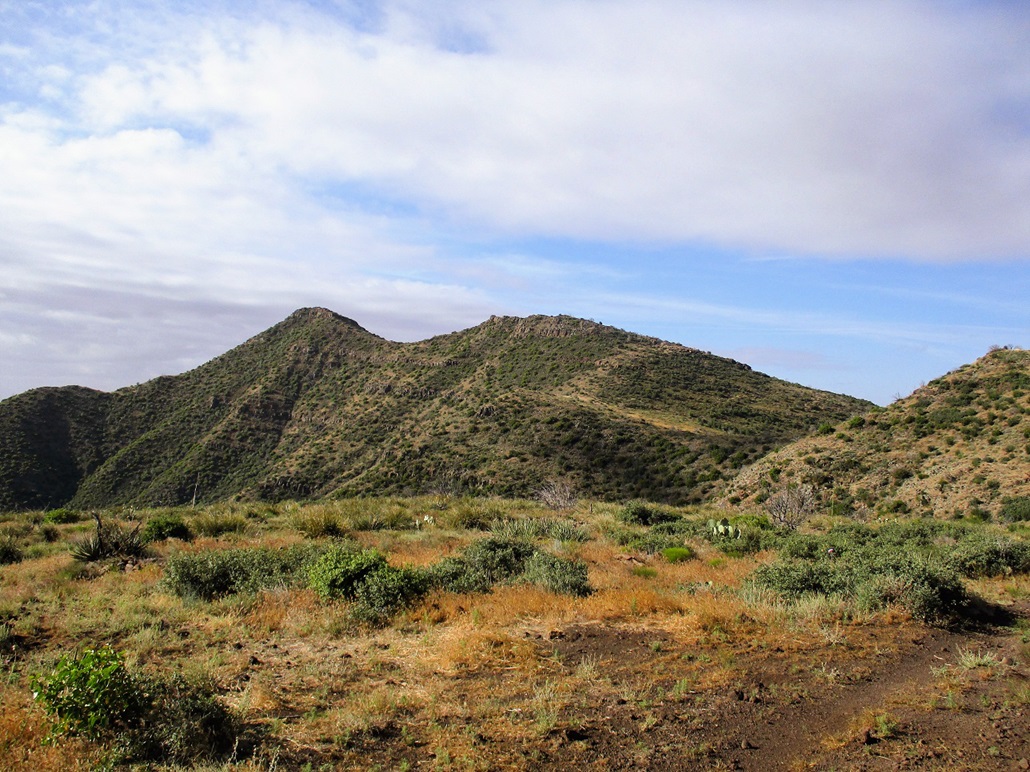
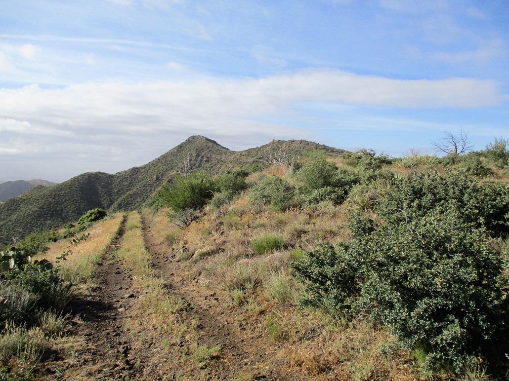
A better view of the peak
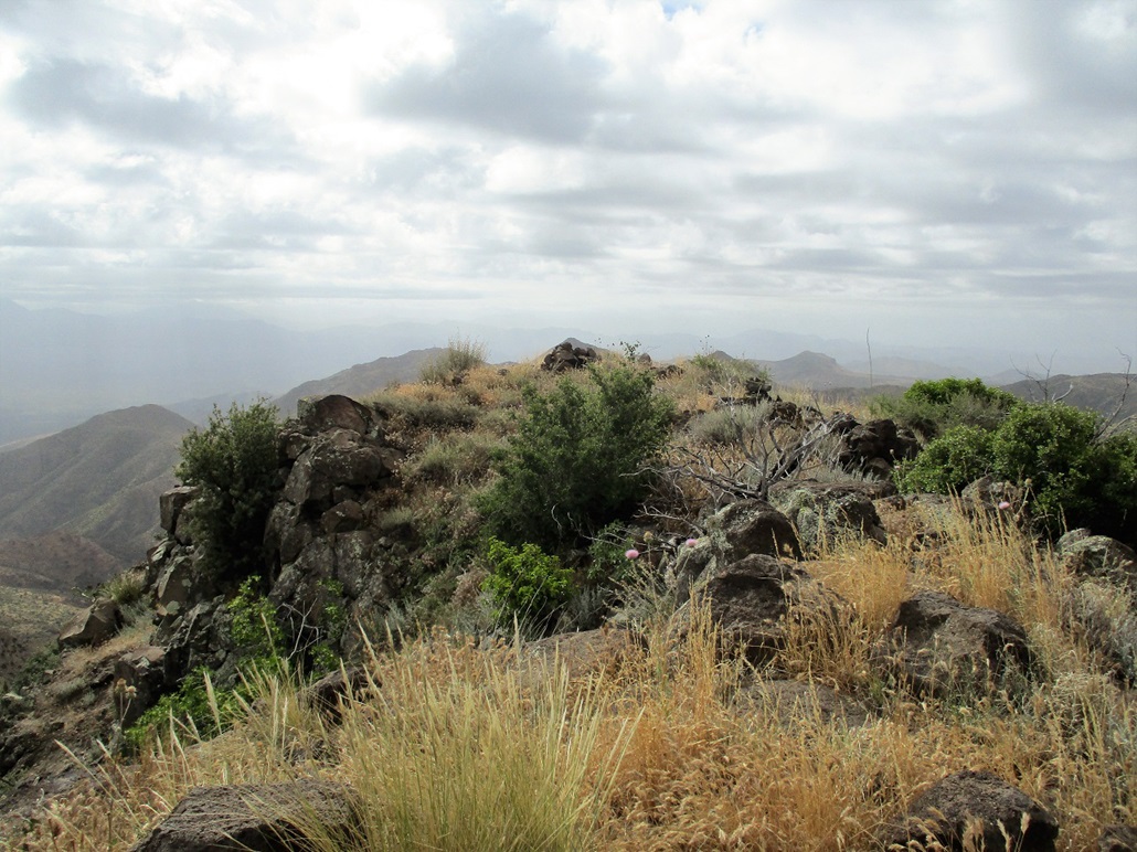
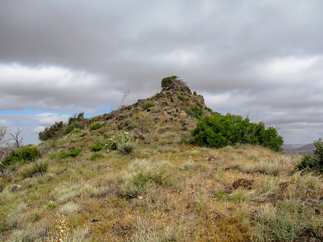
The summit cairn
North view of the northern subsummit, and in back, the New River Mountains, Blackjack Point and Rover Mountain
View east into the Verde River valley
West view, Butte Peak, Bronco Butte, the Bronco Creek Peaks and (I think) Skull Mesa to the far right
View south toward Kentuck Mountain
Looking north, the FAA dome atop Humboldt Mountain, plus some of the cliffs

The summit as I descend, with good lighting
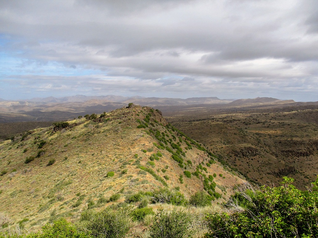
The north summit and its rocky outcrops

Now hiking down Deer Flat
Arizona Page • Main Page • Trip Report
(c) 2022 Scott Surgent. For entertainment purposes only. This report is not meant to replace maps, compass, gps and other common sense hiking/navigation items. Neither I nor the webhost can be held responsible for unfortunate situations that may arise based on these trip reports. Conditions (physical and legal) change over time! Some of these hikes are major mountaineering or backpacking endeavors that require skill, proper gear, proper fitness and general experience.