January 2, 2016
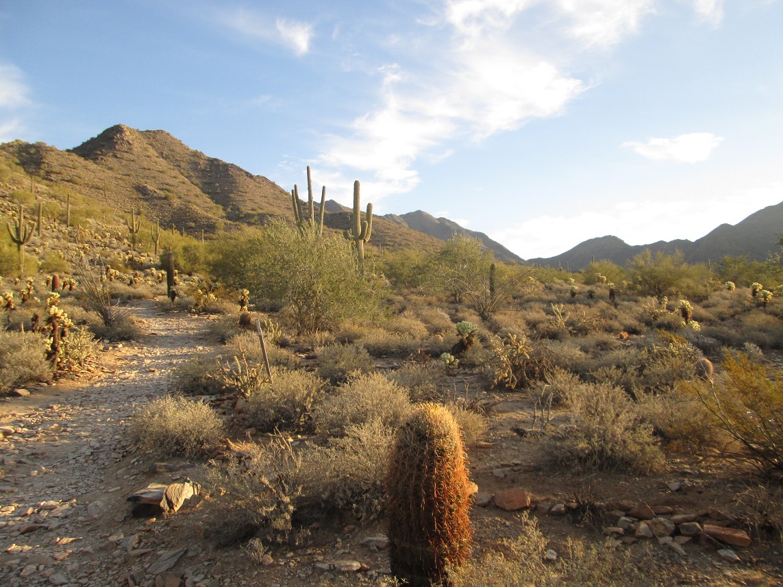
McDowell Peak is visible way in the back
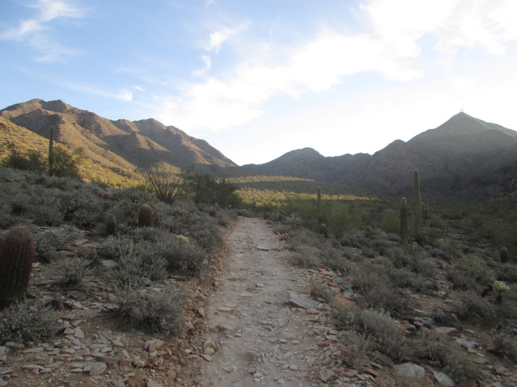
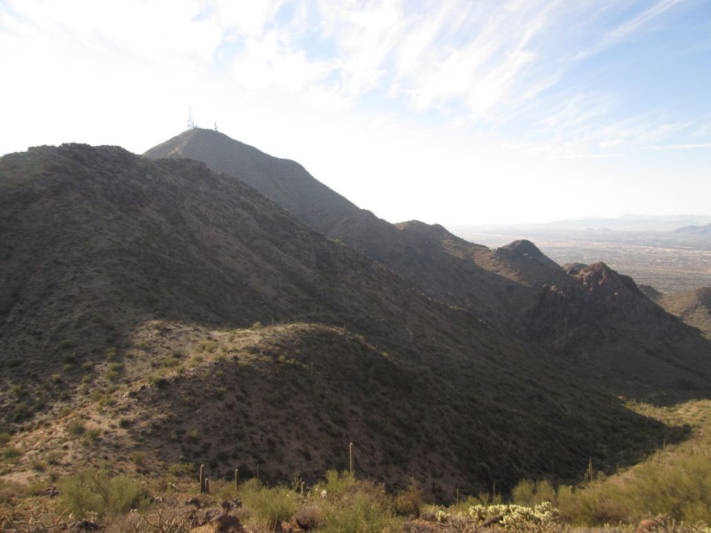
McDowell Peak (left) and Thompson Peak (right)
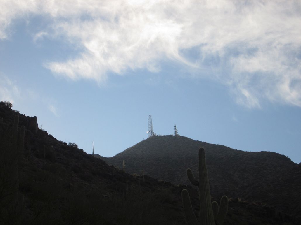
Thompson Peak
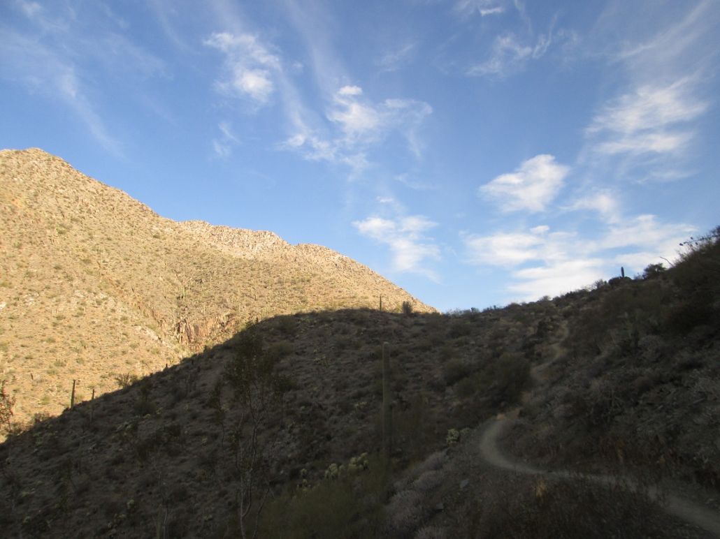
Bell Pass, McDowell Peak is to the left
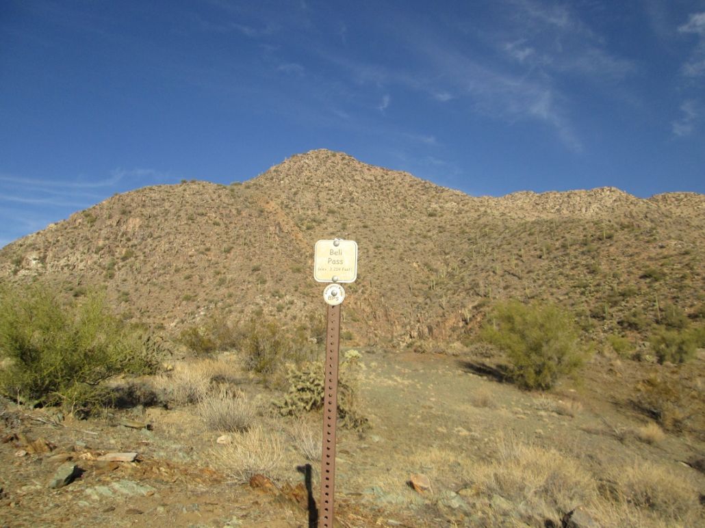
Officially at Bell Pass
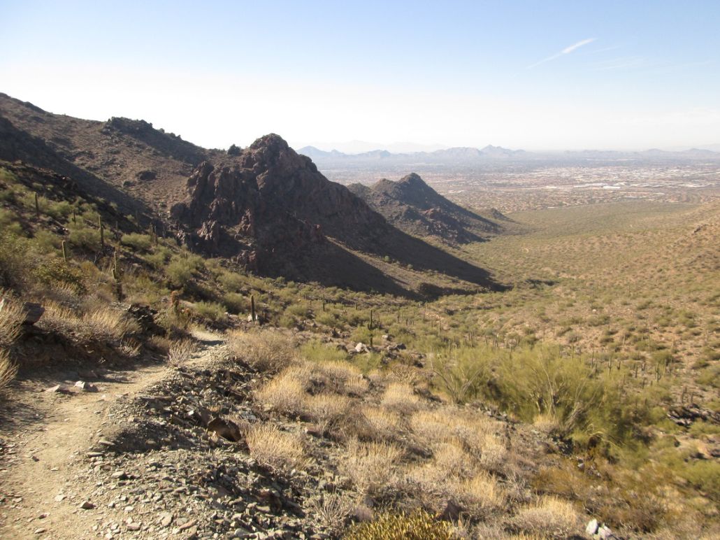
Bell Pass, plus view down from where I hiked
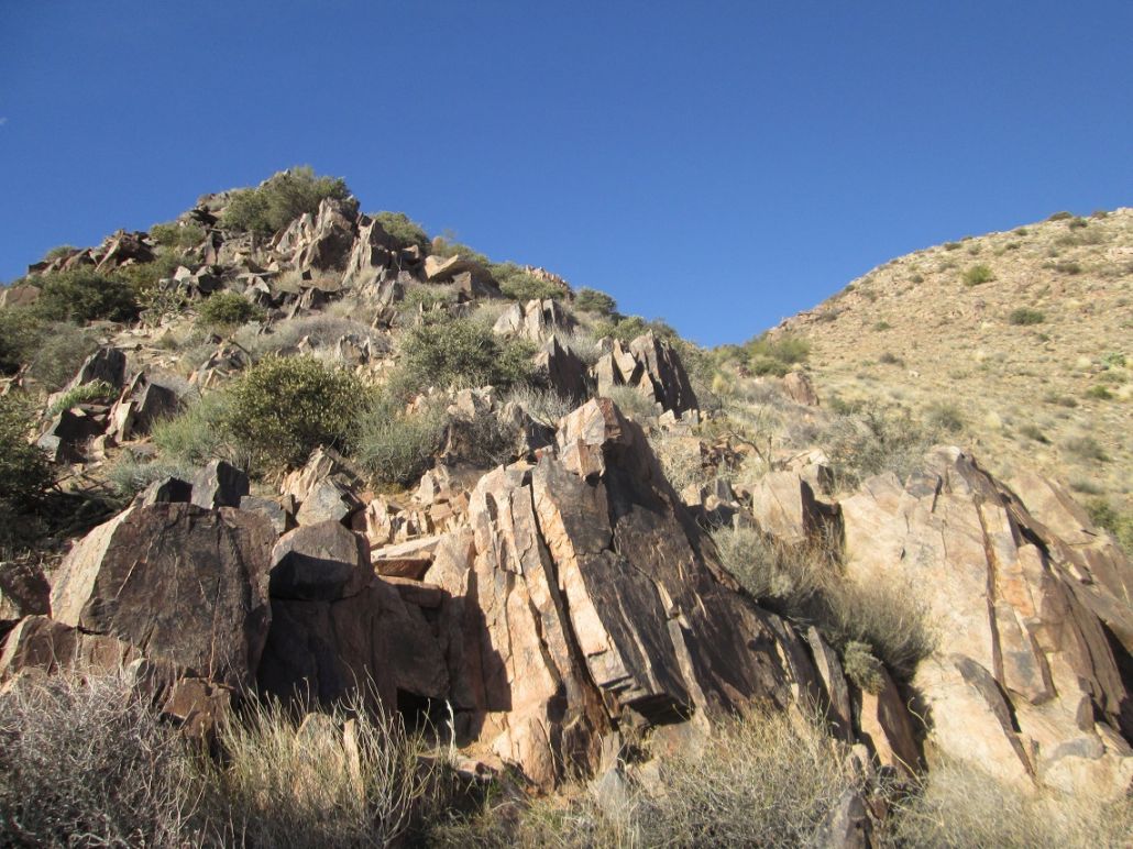
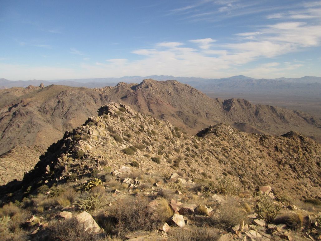
Typical rocky formation on the off-trail segment
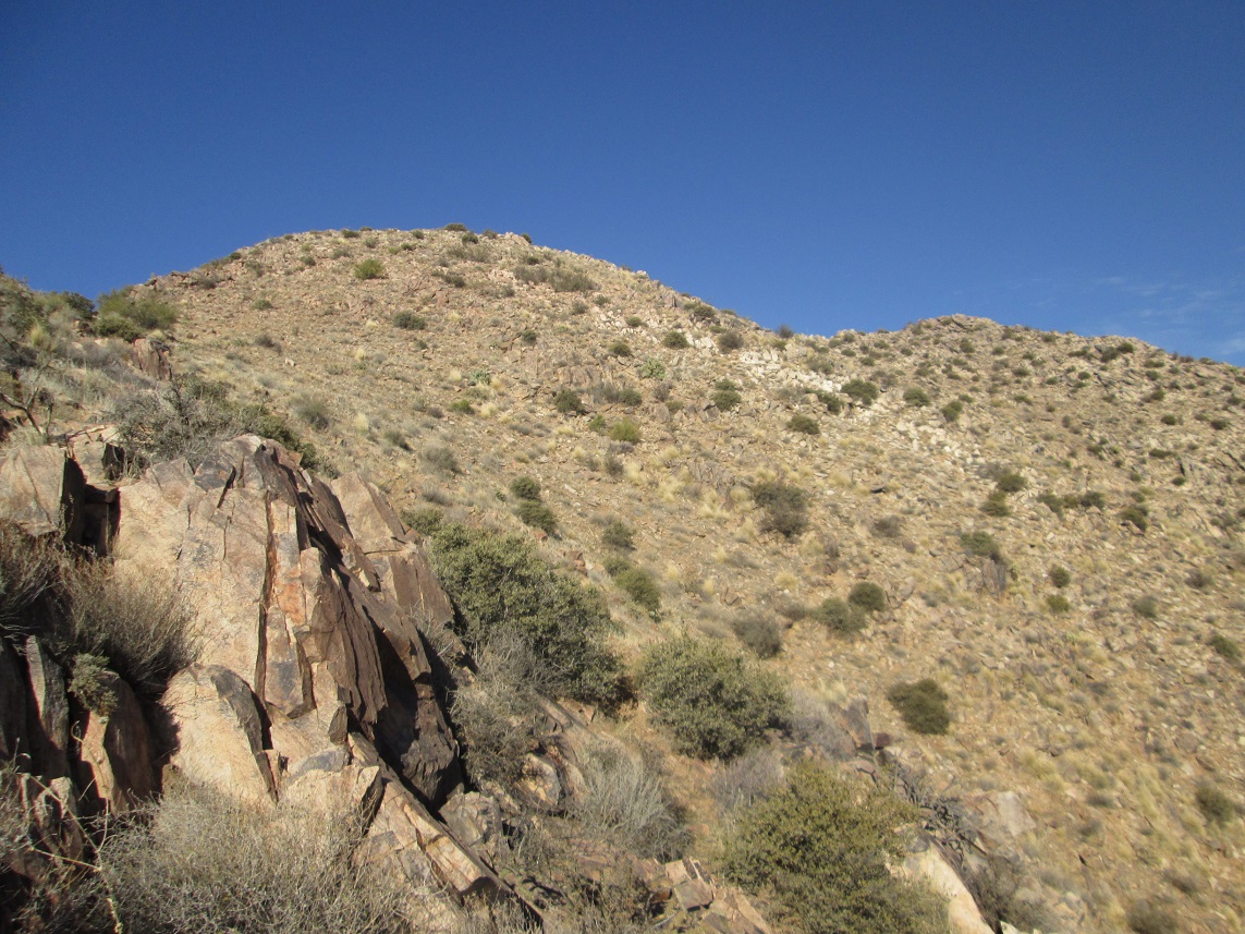
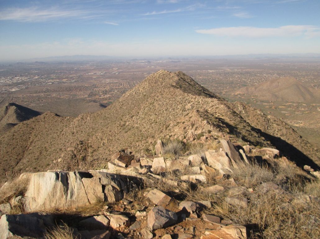
The summit comes into view
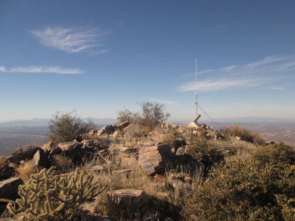
The top!
East End and Tom's Thumb
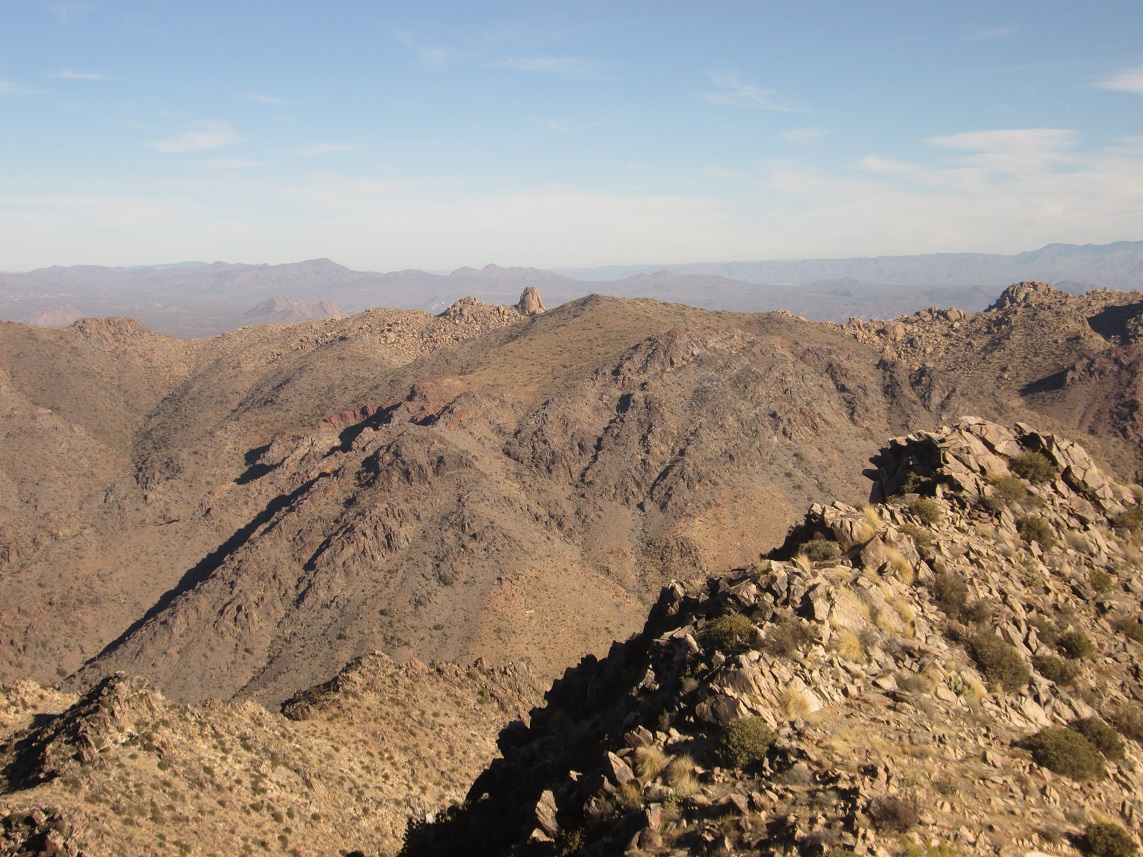
Slight zoom of Tom's Thumb
Drinkwater Peak, looking west
Hiking down now
Arizona Page • Main Page • Trip Report
(c) 2023 Scott Surgent. For entertainment purposes only. This report is not meant to replace maps, compass, gps and other common sense hiking/navigation items. Neither I nor the webhost can be held responsible for unfortunate situations that may arise based on these trip reports. Conditions (physical and legal) change over time! Some of these hikes are major mountaineering or backpacking endeavors that require skill, proper gear, proper fitness and general experience.