March 10, 2018
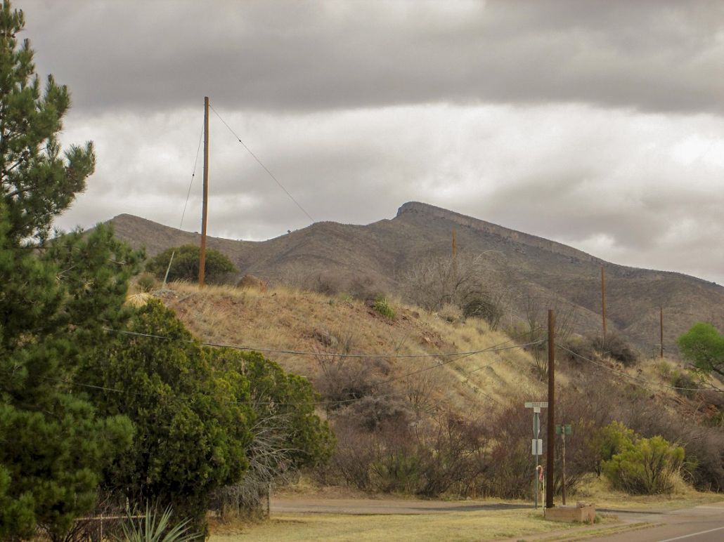
Mural Hill as seen from the traffic circle near Lowell, east of Bisbee. This was taken the next day, after more clouds had moved in
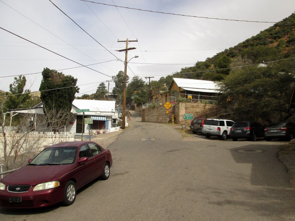
The first part of the hike goes up OK Street
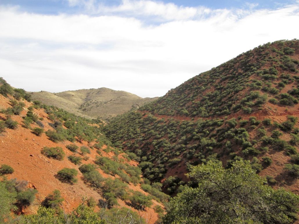
View of the road and trail I would follow

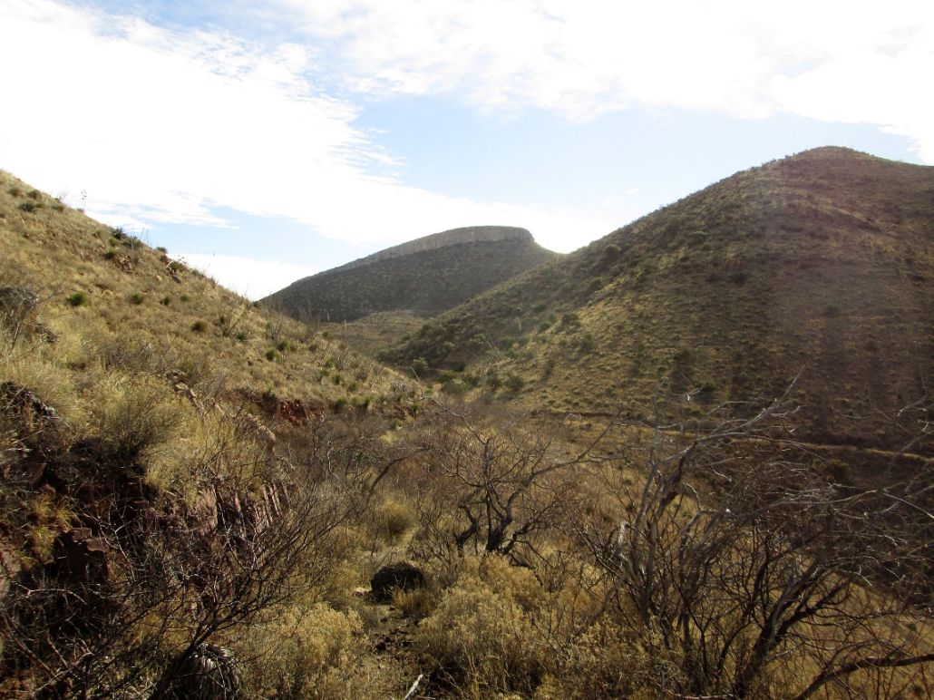
Mural Hill comes into view
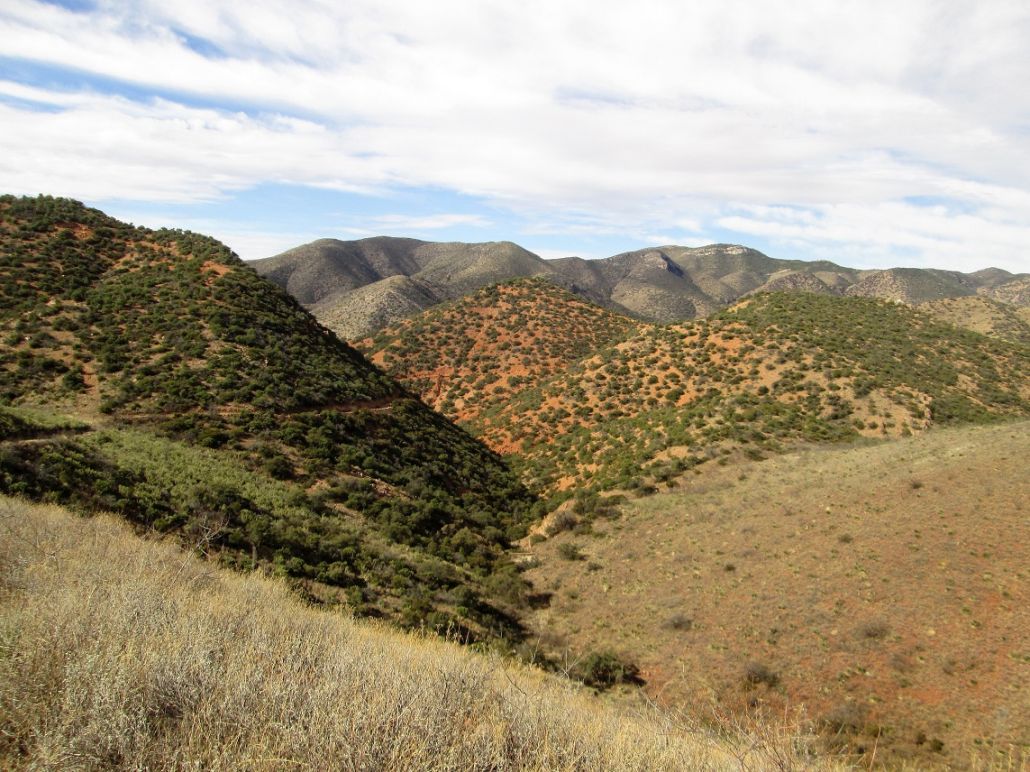
About a mile closer
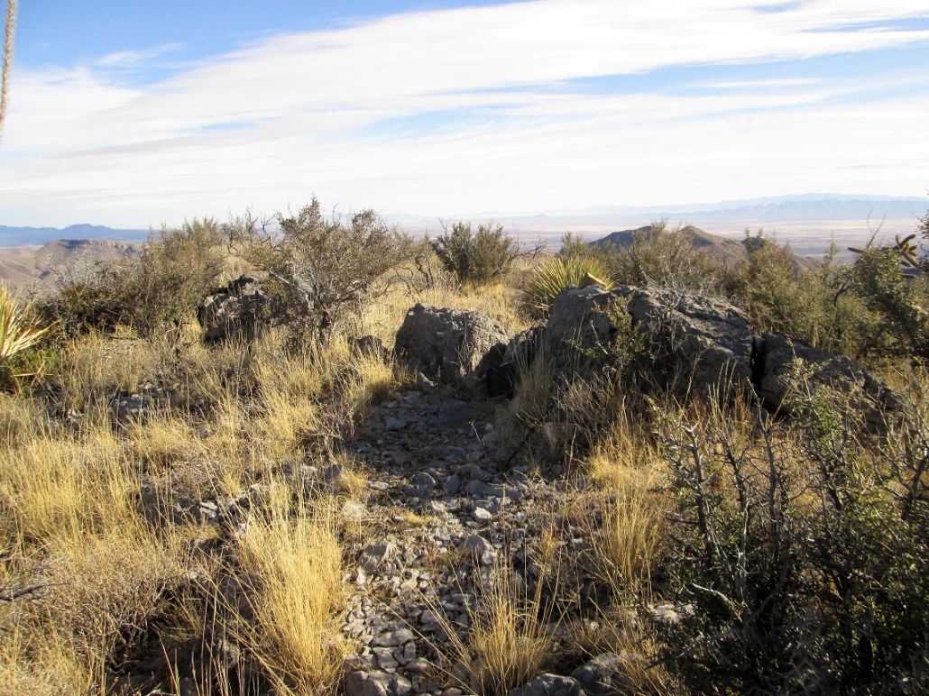
The summit rocks
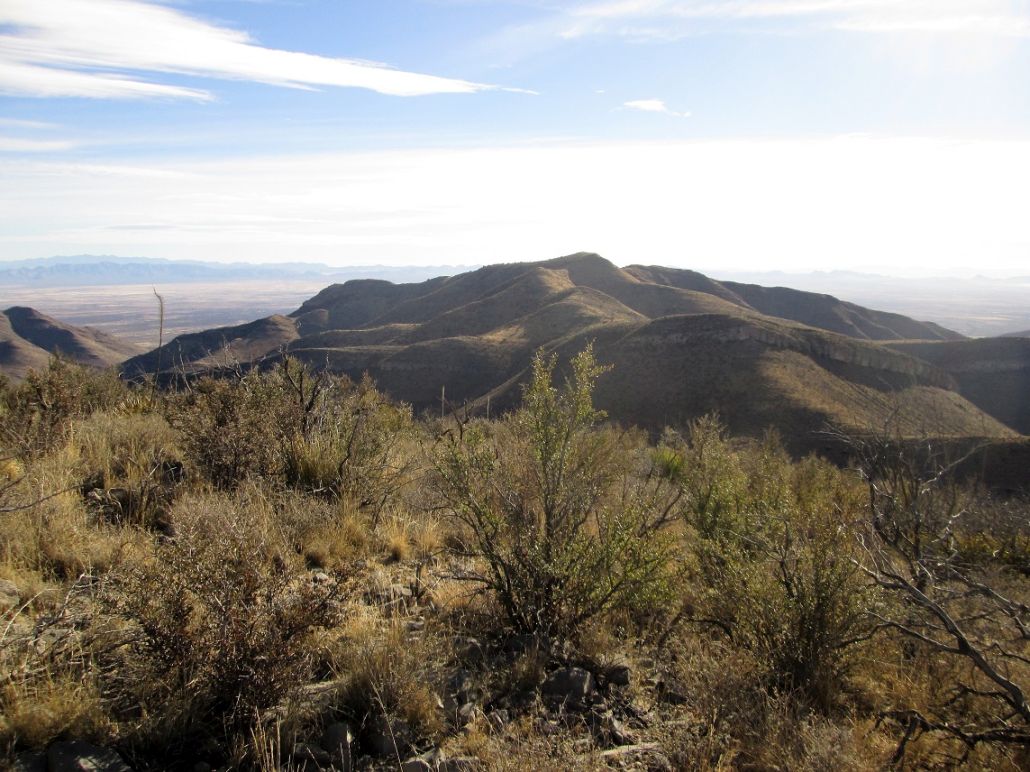
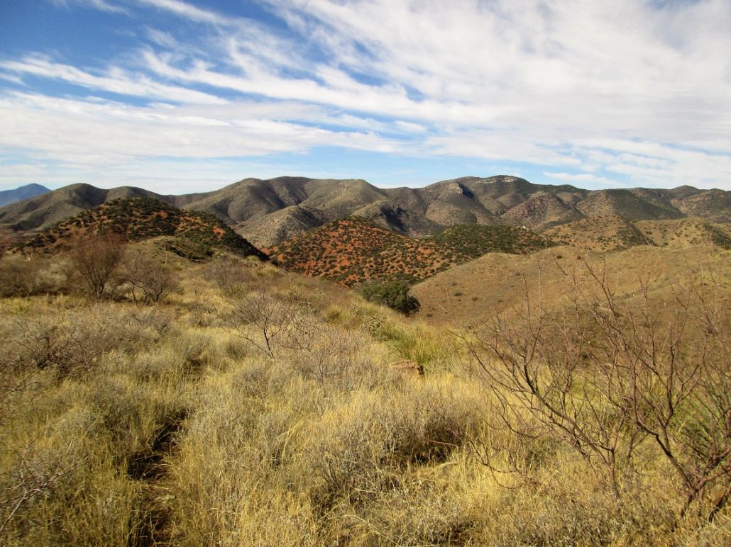
East view of Grassy Hill
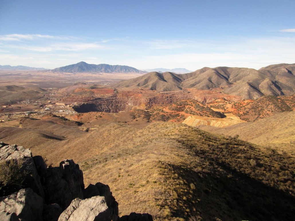
South view of Sierra San Jose in Mexico, and the big Lavender Pit mine near Lowell
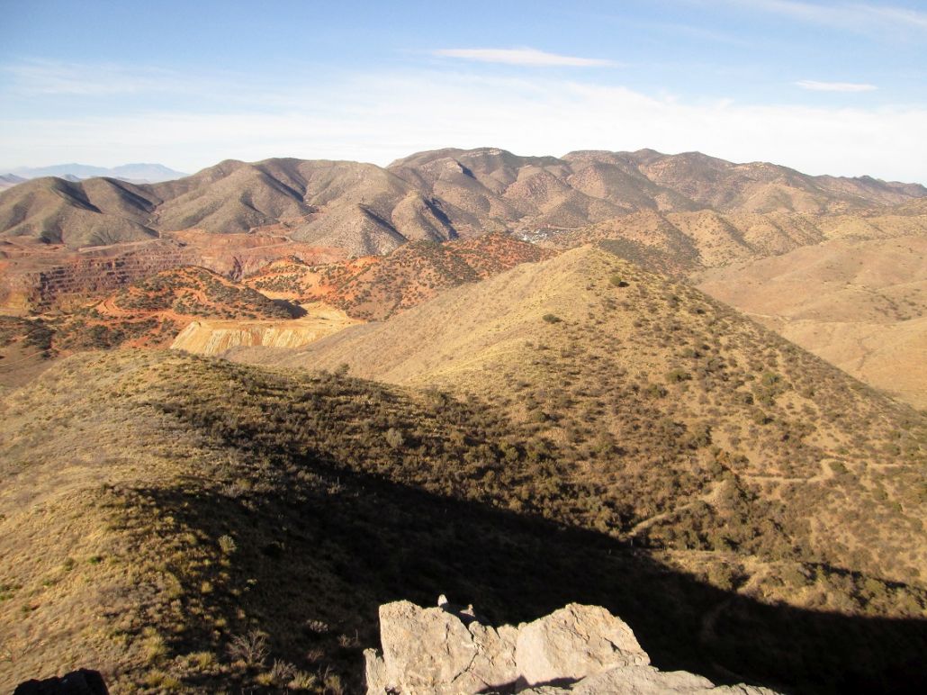
Southwest view of Bisbee, plus Ballard and Fissure Peaks in back
Hiking out, Jones Hill ahead, Youngblood and Chihuahua Hills to the right
The shrine atop Youngblood Hill can be seen
Arizona Page • Main Page • Trip Report
(c) 2023 Scott Surgent. For entertainment purposes only. This report is not meant to replace maps, compass, gps and other common sense hiking/navigation items. Neither I nor the webhost can be held responsible for unfortunate situations that may arise based on these trip reports. Conditions (physical and legal) change over time! Some of these hikes are major mountaineering or backpacking endeavors that require skill, proper gear, proper fitness and general experience.