
Pinta Benchmark
February 10, 2013
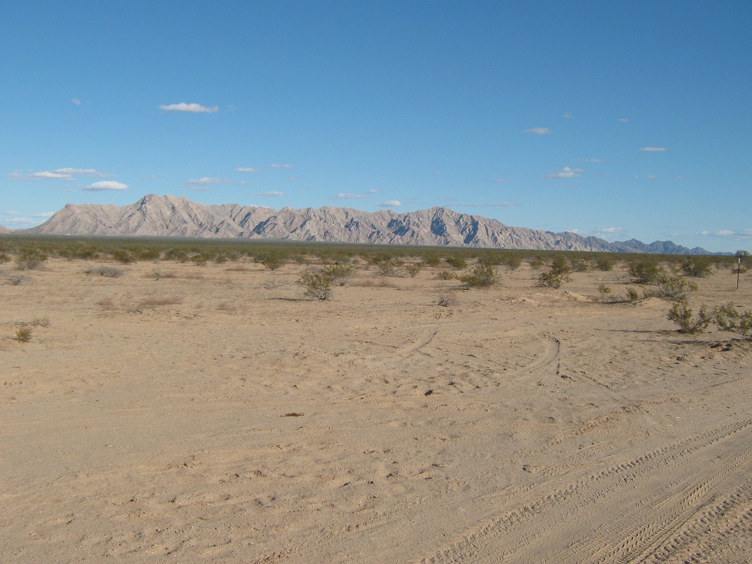
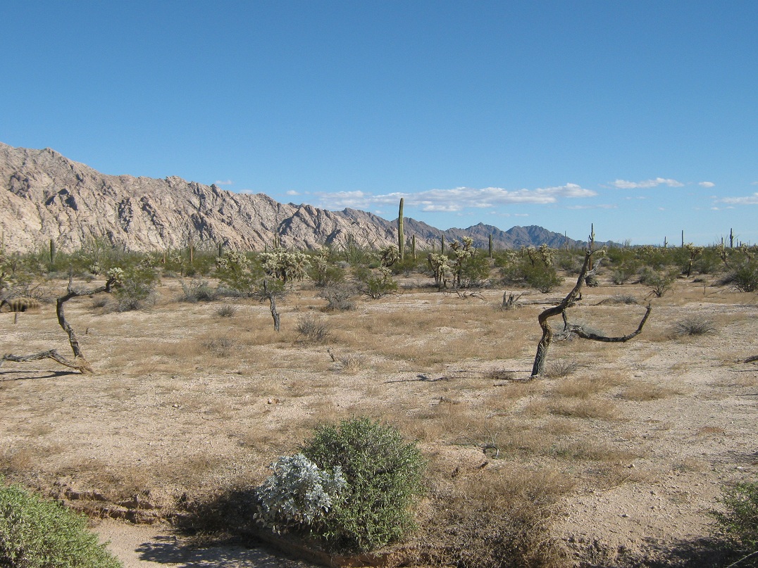
The Pinta Range, as seen from our parking area. Oh, so far
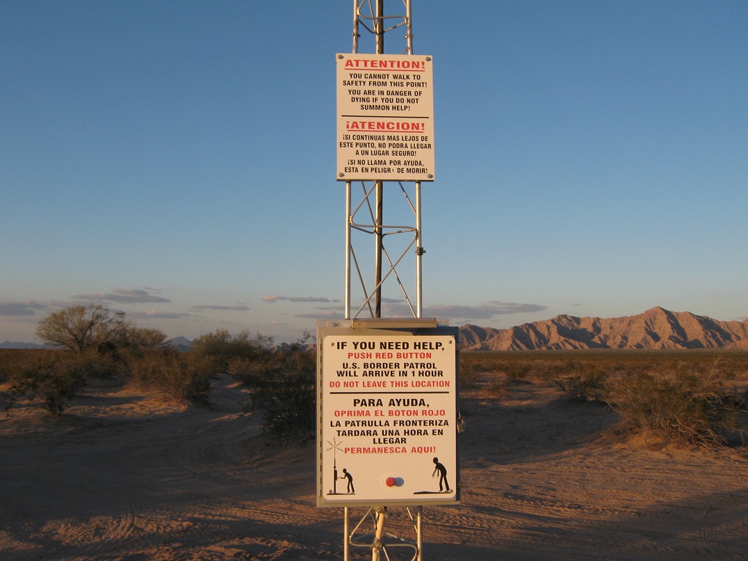
The rescue beacon where we camped
Next morning, we get closer to the base of the range
Same vantage, now looking southwest at peaks in Mexico
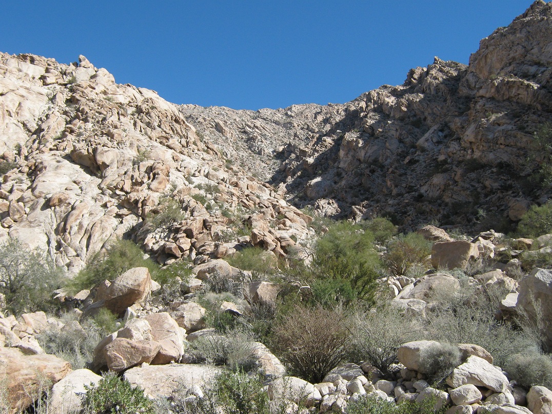
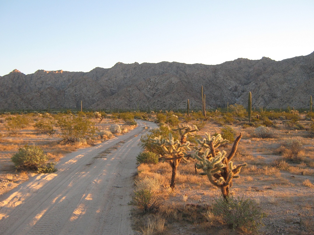
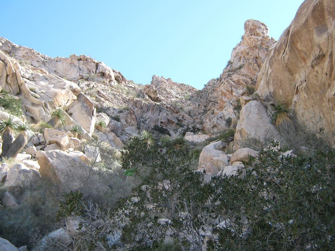
The initial approach canyon
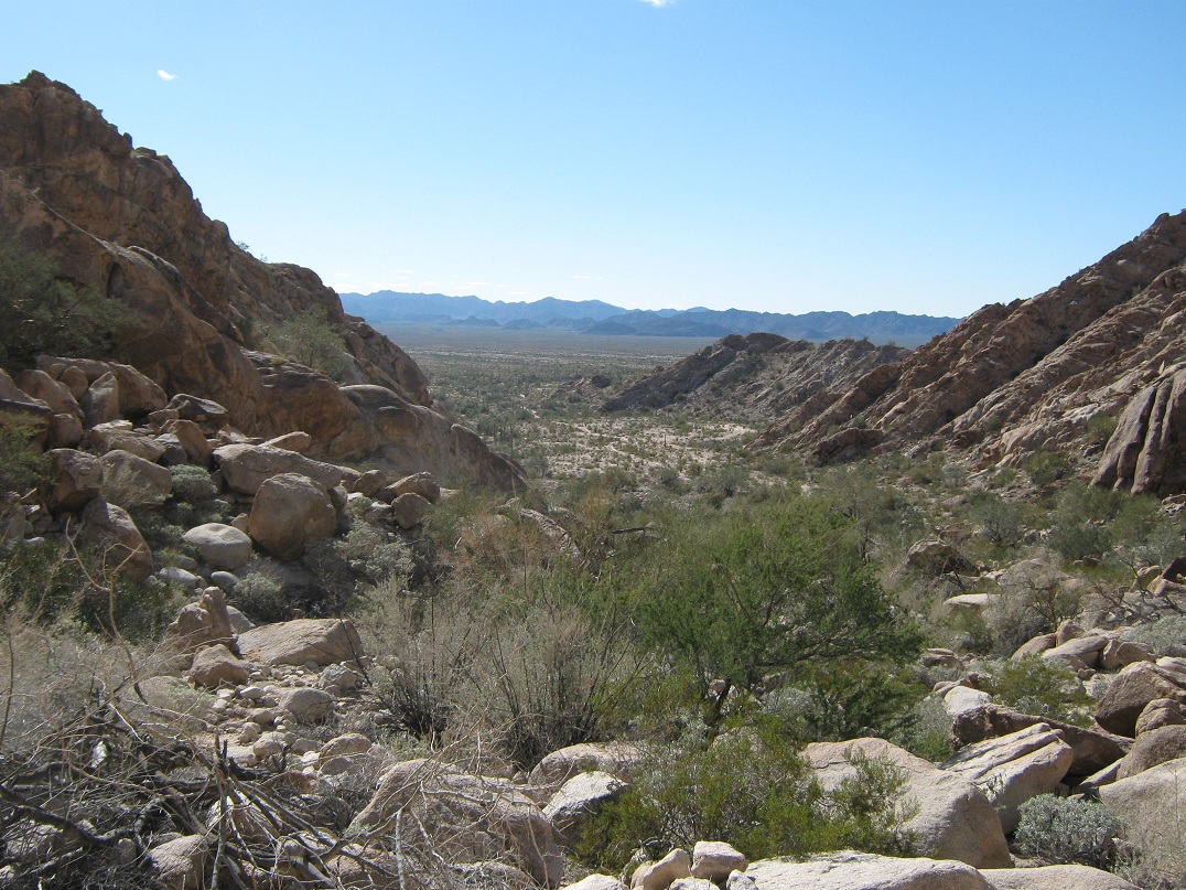
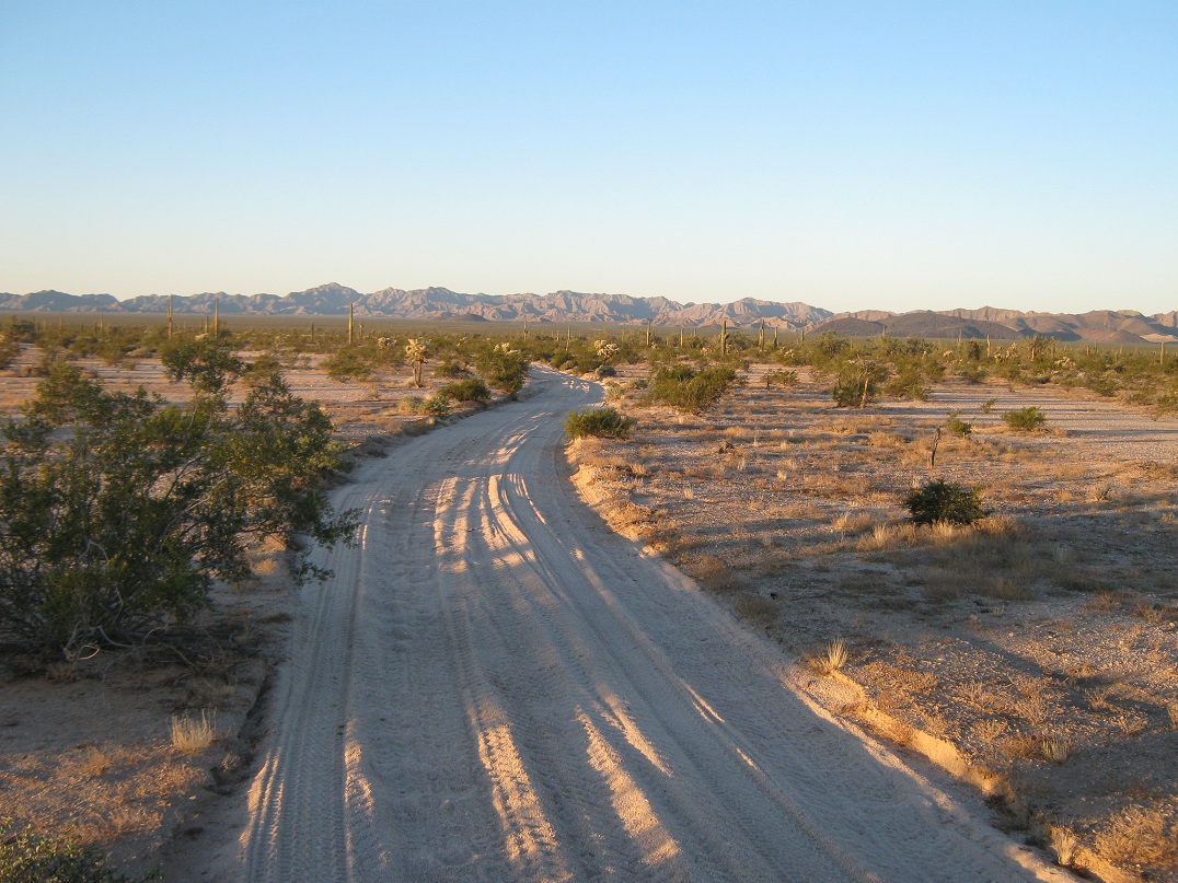
Same vantage, looking out at the mouth of the canyon
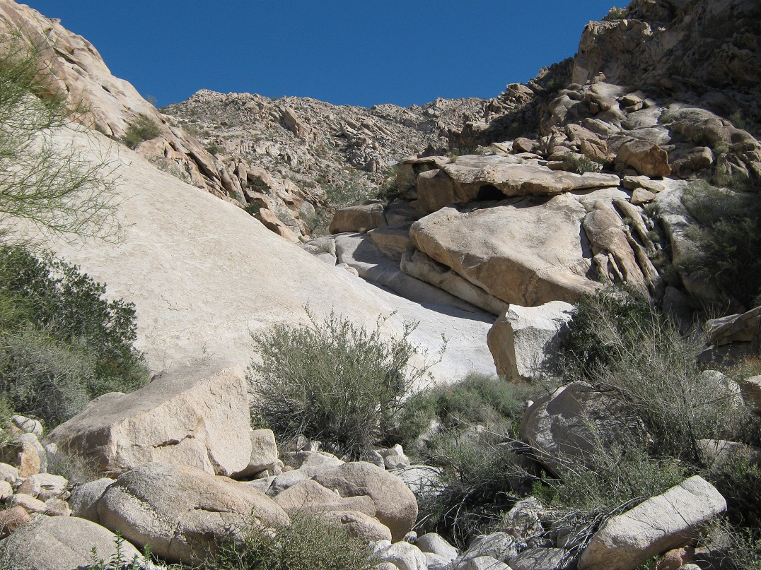
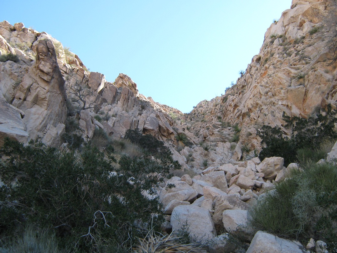
The dry waterfall, about 1/4 of the way up the canyon
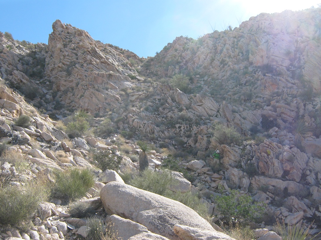
This big boulder about 2/3 the way up presented a challenge. We went right. Note: the bigger boulder at right is not the one I am referring to
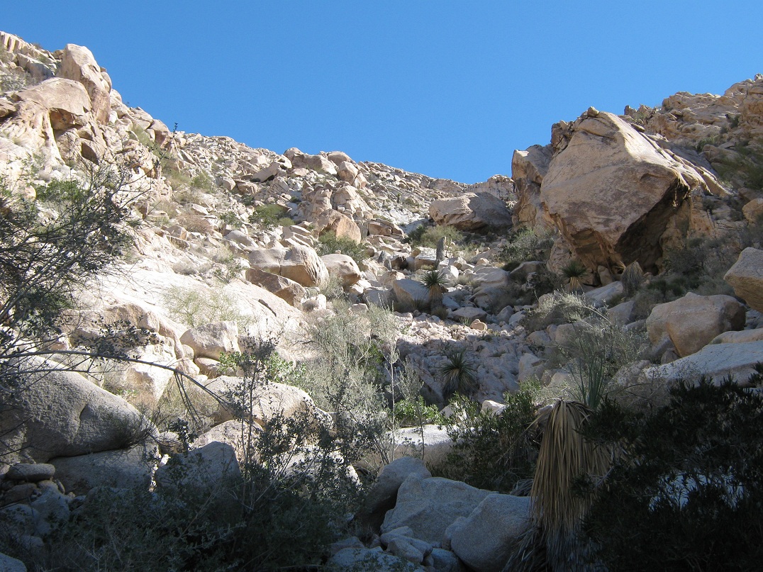
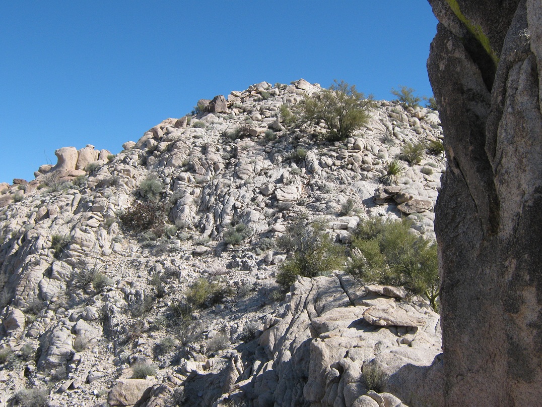
Above the big boulder, the remainder of the route
Getting closer!
At this "prow", we went right and met the ridge at the saddle roughly in the center
The summit as seen from near a rock outcrop along the ridge
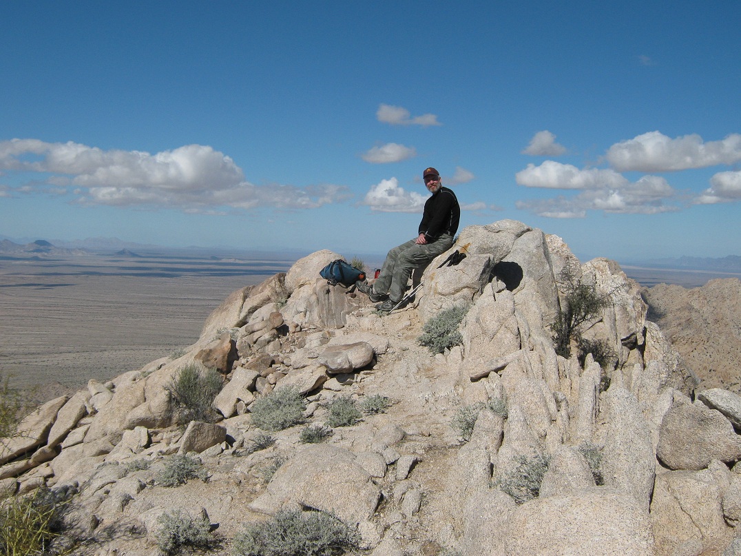
And there I was
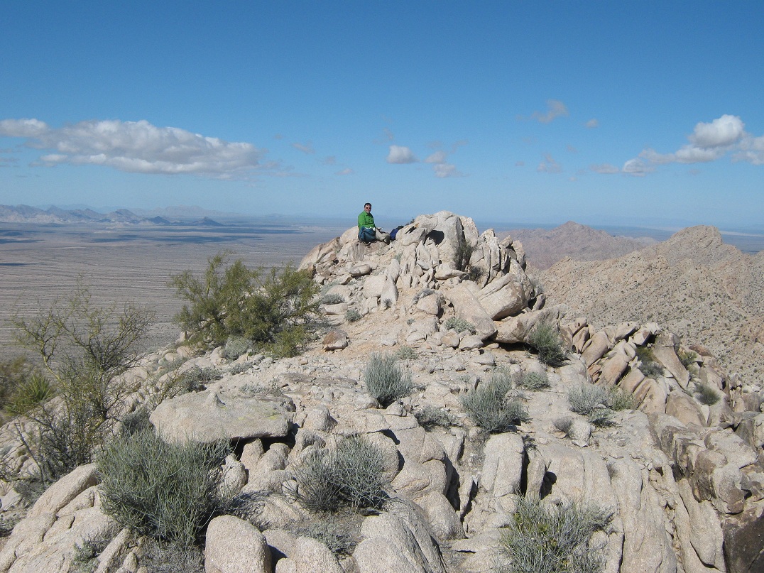
And Ken, too
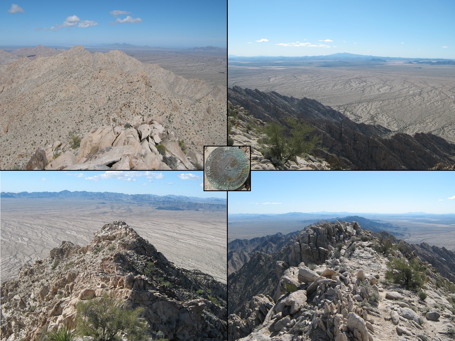
Summit montage: Top-left is north, Top-right is south and Pinacate Peak, Bottom-left is southwest at the ridge we scaled, and bottom right is east and the other summit rock outcrop
The mountains, about two miles distant on the walk out
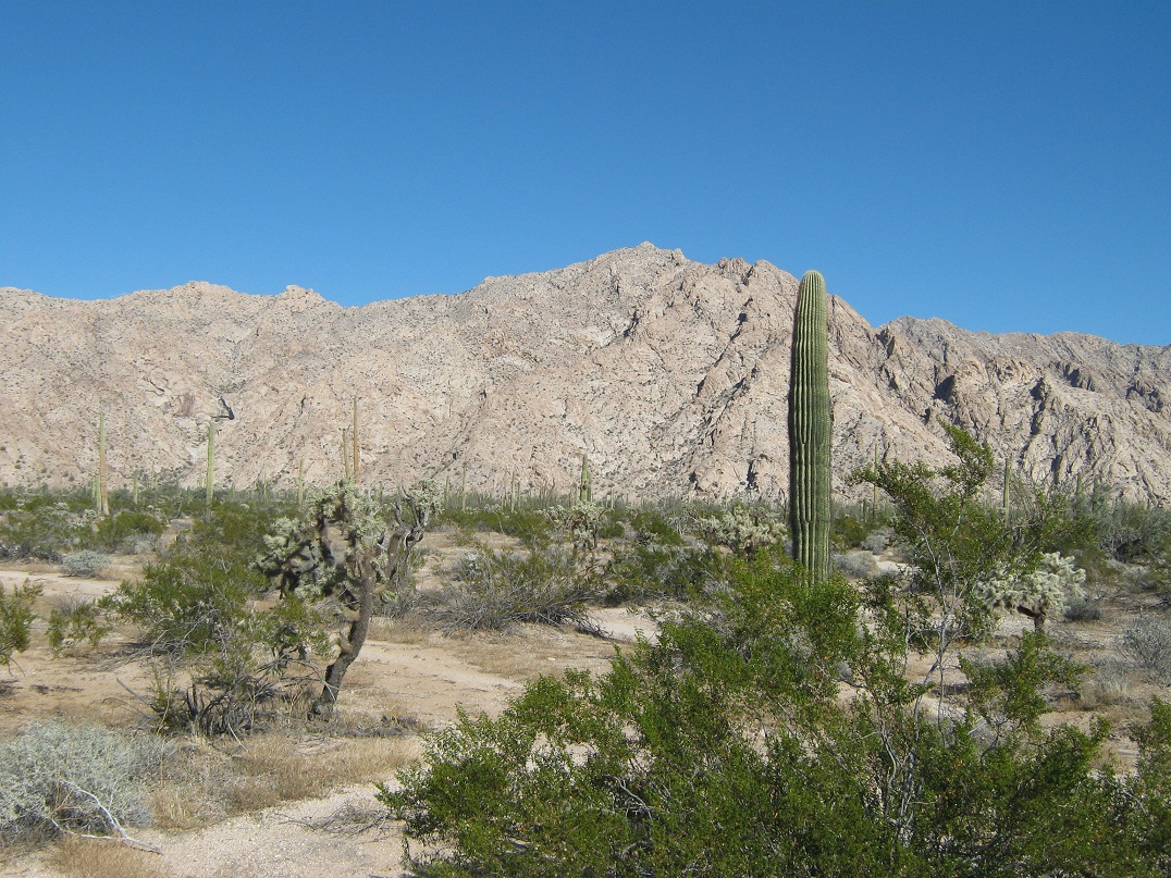
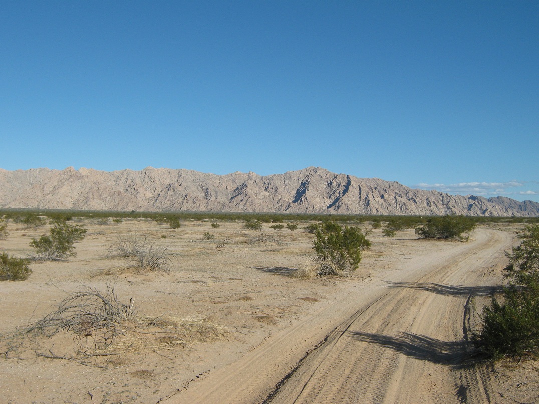
The southern Pintas, and the stark desert flora
The mountains, now about 4 miles away, about halfway on the walk out
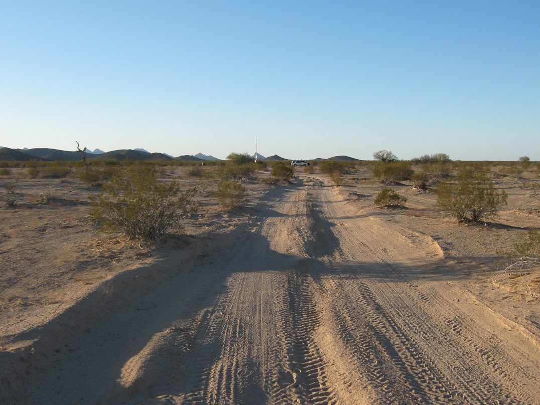
At last, the cars
Arizona Page • Main Page • Trip Report
Mobile version (c) 2017 Scott Surgent. For entertainment purposes only. This report is not meant to replace maps, compass, gps and other common sense hiking/navigation items. Neither I nor the webhost can be held responsible for unfortunate situations that may arise based on these trip reports. Conditions (physical and legal) change over time! Some of these hikes are major mountaineering or backpacking endeavors that require skill, proper gear, proper fitness and general experience.