January 13, 2024
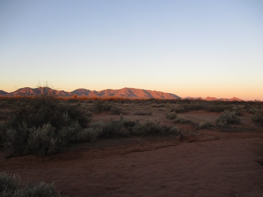
Prieta Peak at dawn, six miles away
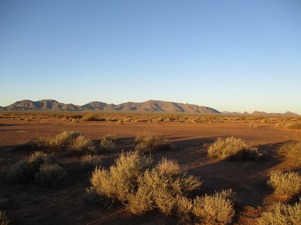
About a mile closer
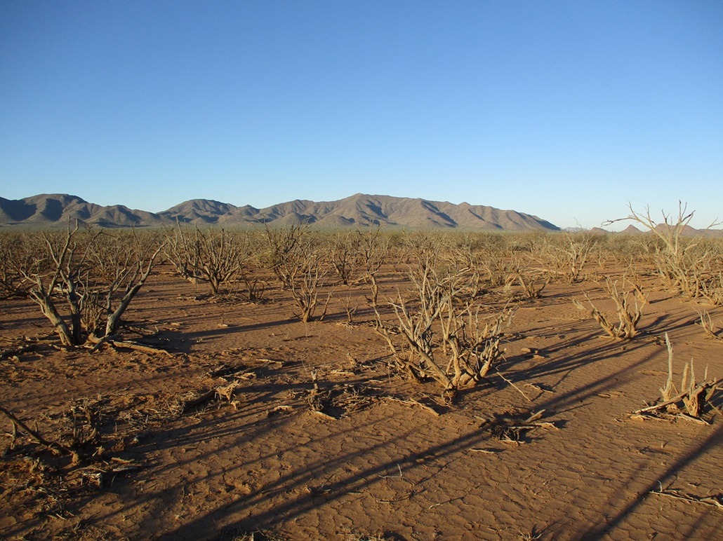
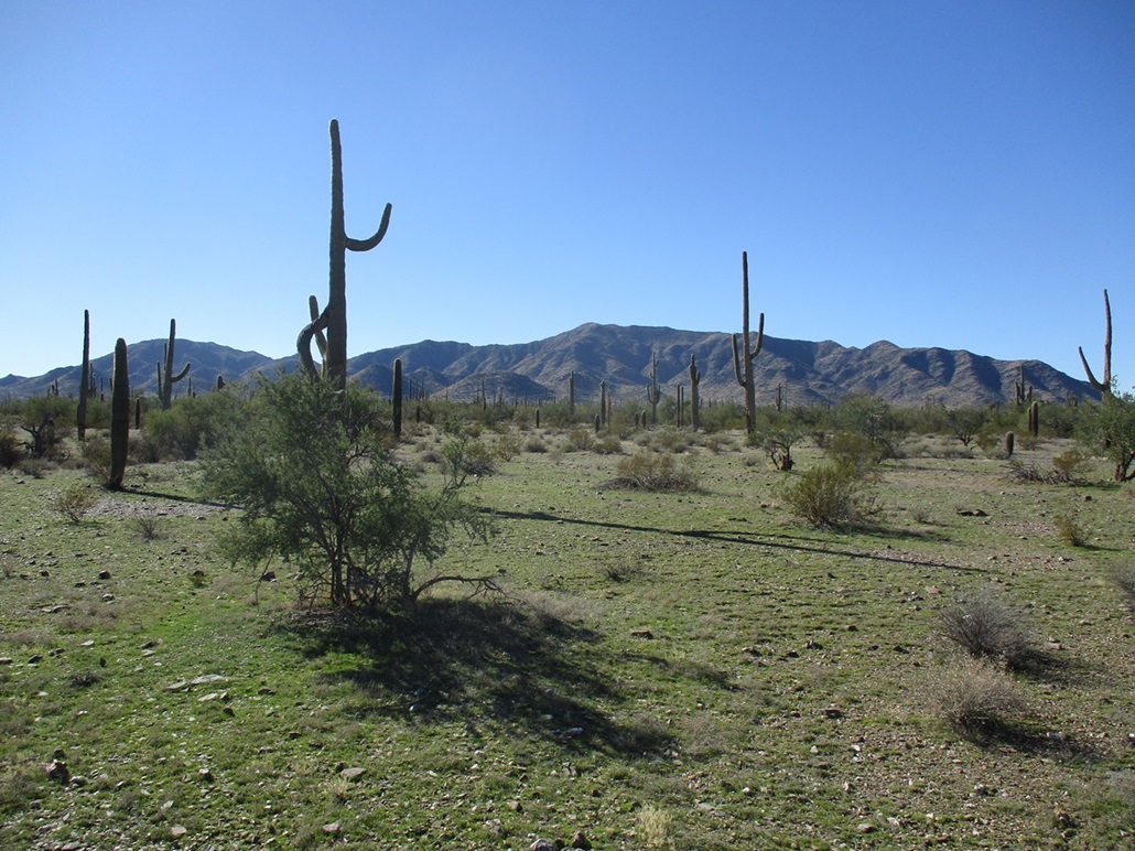
Walking through a boneyard

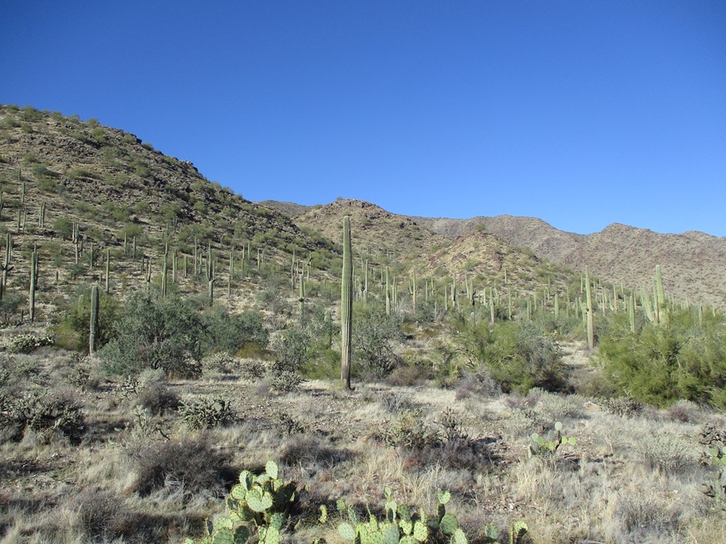
Now on rockier slopes with saguaro, still over a mile away

Power lines that lead to the nearby mine
Almost at the base of the hills finally

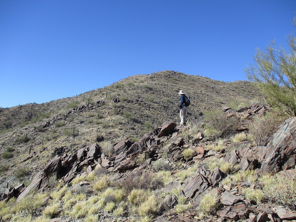
The east ridge we ascended

The steepest rockiest portion
About 250 more feet to go. Not visible: another 50-foot drop

The summit finally is nearby
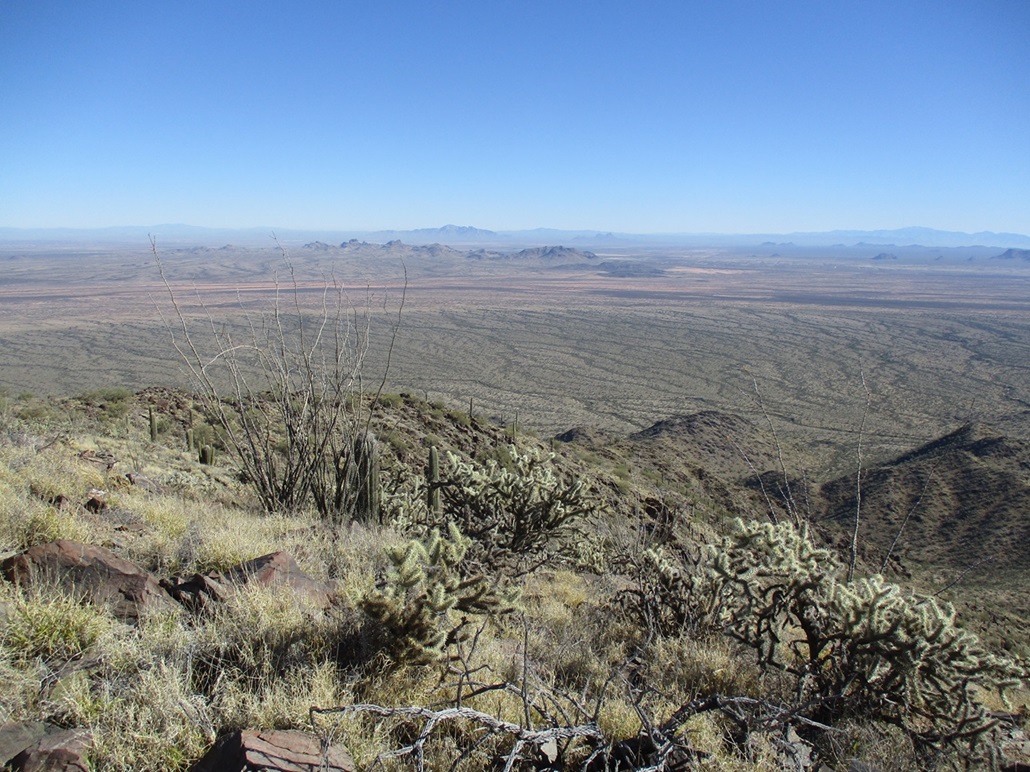
Summit! View south, Gu Achi in the near distance
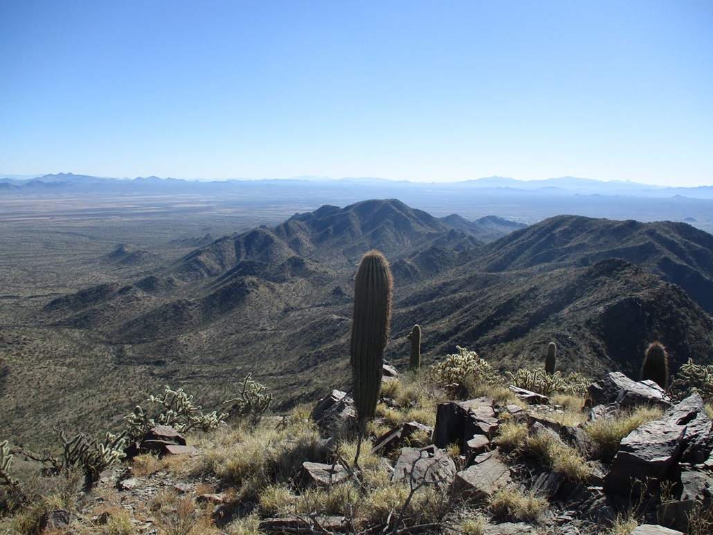
Southeast view, Baboquivari Peak can be seen to the distant right
View east, Mike's vehicle is parked near that low dark hill slightly right of center
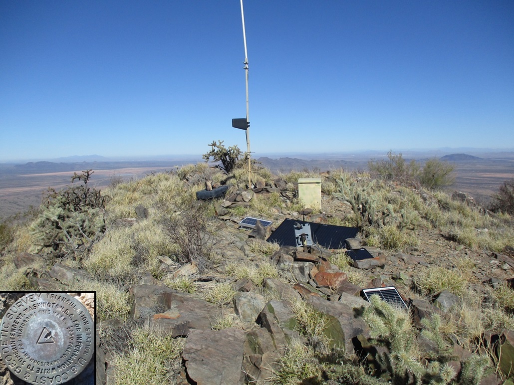
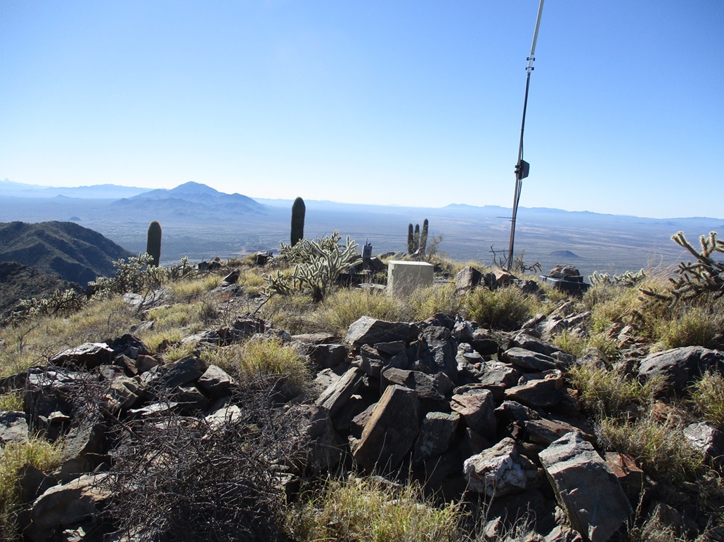
Summit apparati, unstamped benchmark

Looong shadows, unstamped reference marker, yours truly, a saguaro in advanced stages of decay

The ridge we ascended, now in afternoon lighting

Walking back to the car, the desert was very green after a rain from two days ago
Departing view as we exit
Arizona Page • Main Page • Trip Report
(c) 2024 Scott Surgent. For entertainment purposes only. This report is not meant to replace maps, compass, gps and other common sense hiking/navigation items. Neither I nor the webhost can be held responsible for unfortunate situations that may arise based on these trip reports. Conditions (physical and legal) change over time! Some of these hikes are major mountaineering or backpacking endeavors that require skill, proper gear, proper fitness and general experience.