March 4, 2019
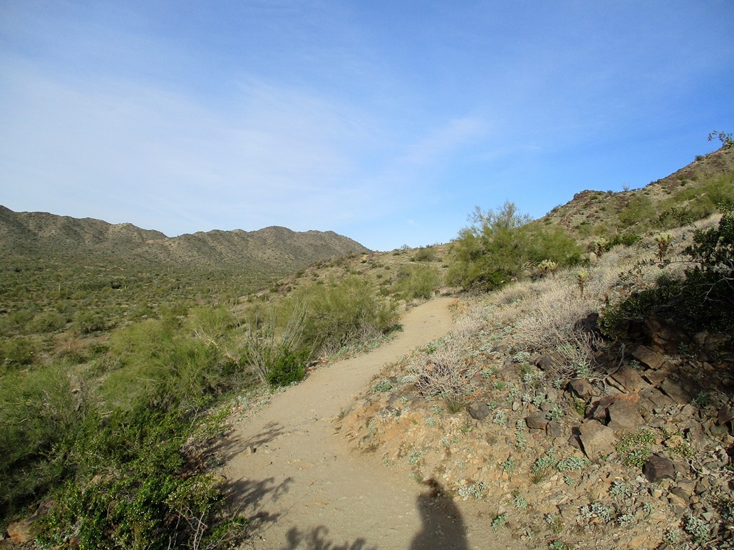
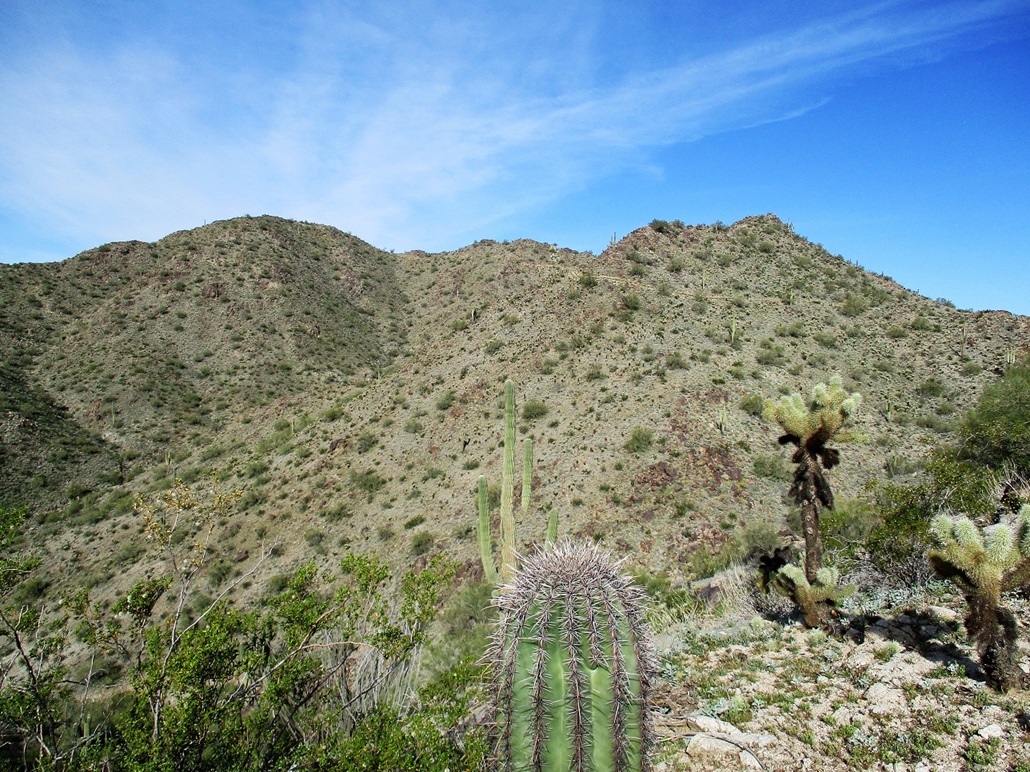
Pyrite Summit is on the far end of the ridge, as I start the hike
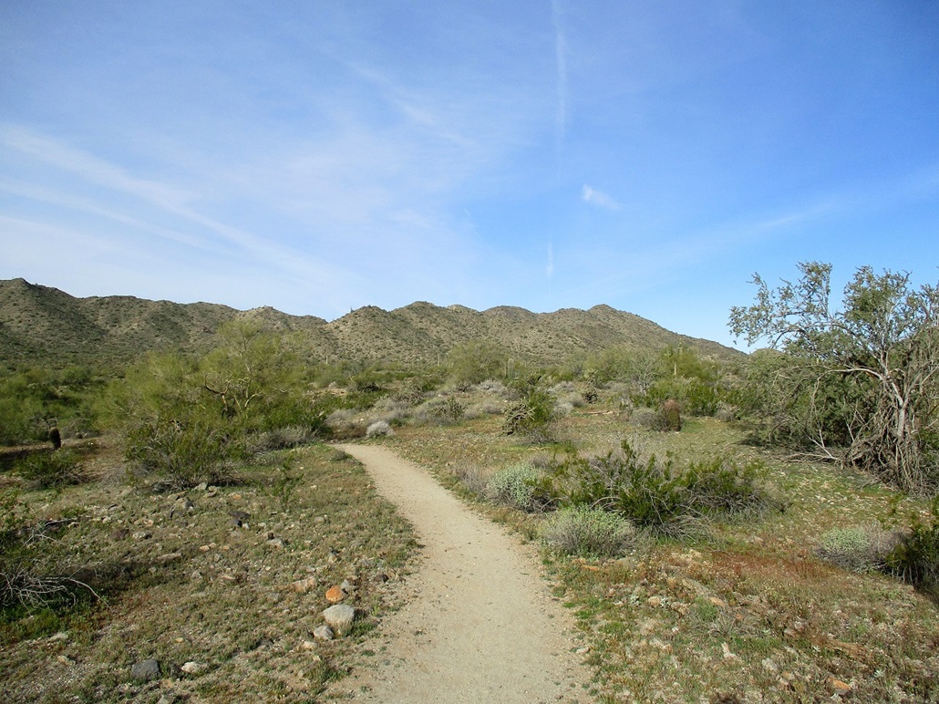
Getting closer but still about a mile away
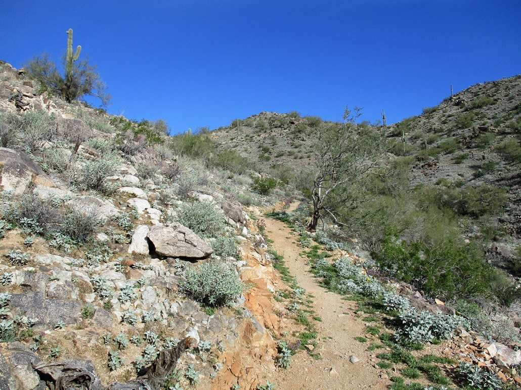
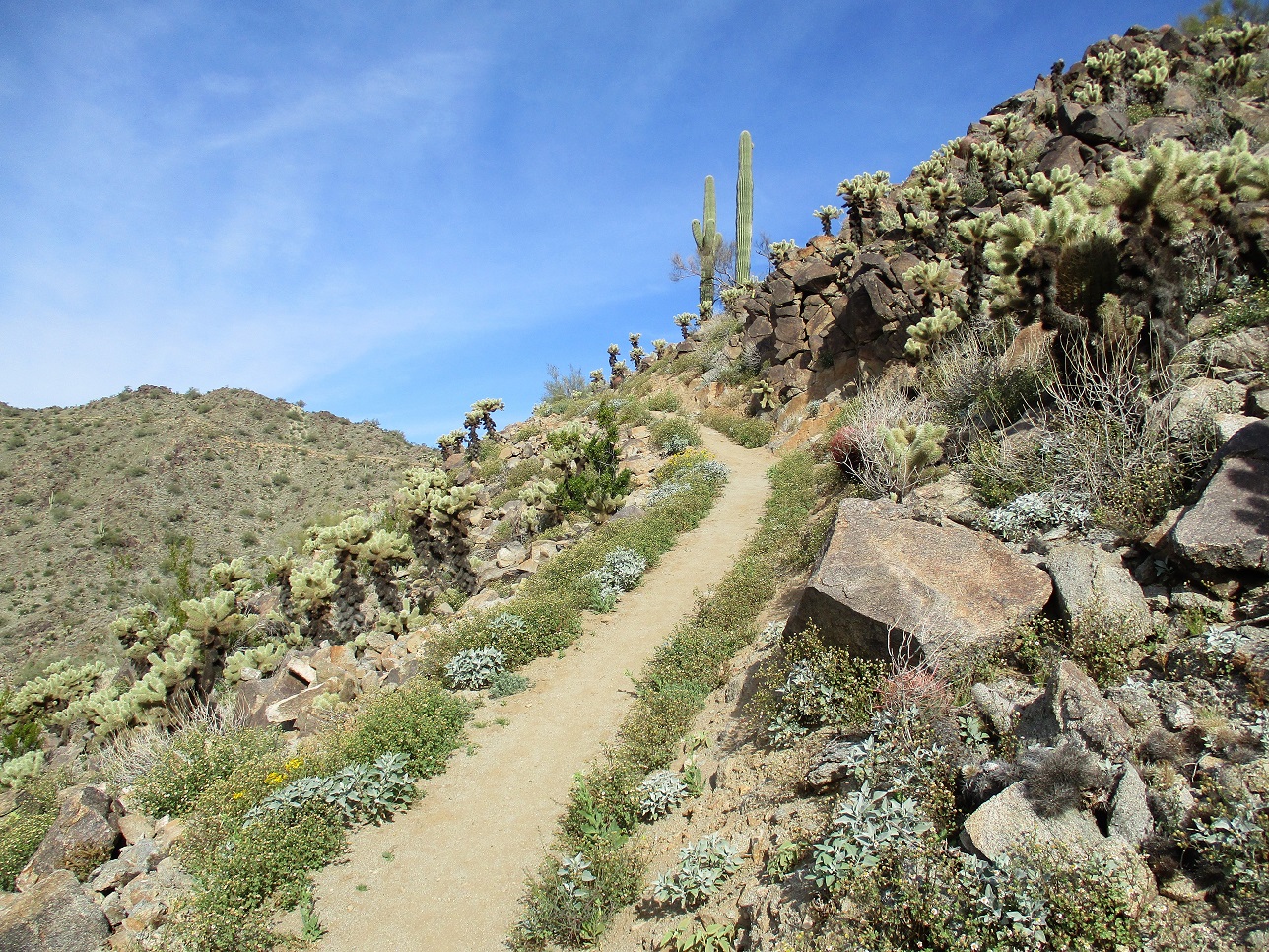
Now coming up the Pyrite Trail from the south, with switchbacks etched into the slopes
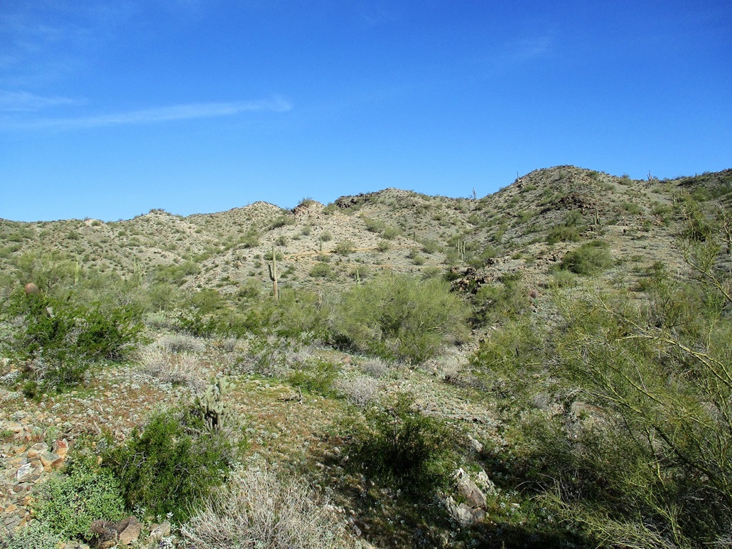
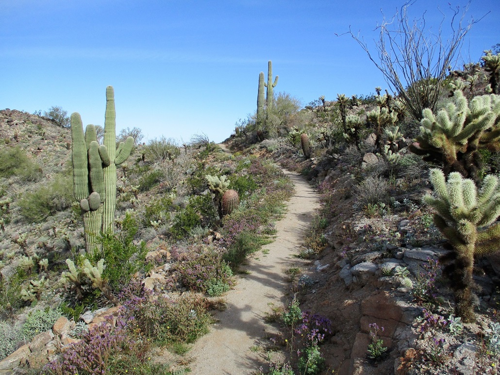
A pretty section of trail. No, that's not the summit up ahead
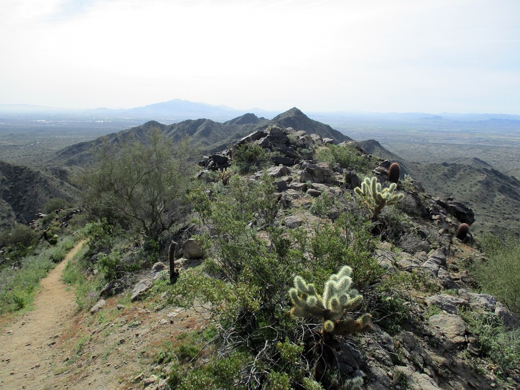
Summit ridge, the highest point is to the left
I had to carefully walk through a dangerous patch of cholla cactus
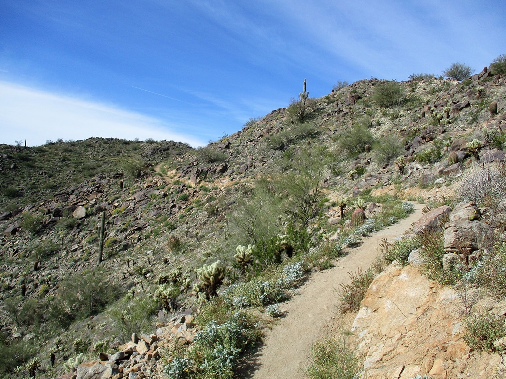
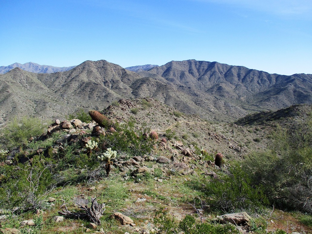
A colorful desert garden of saguaro, barrel and cholla cactus, with a big ocotillo and smaller brittlebush and (probably) scorpionweed
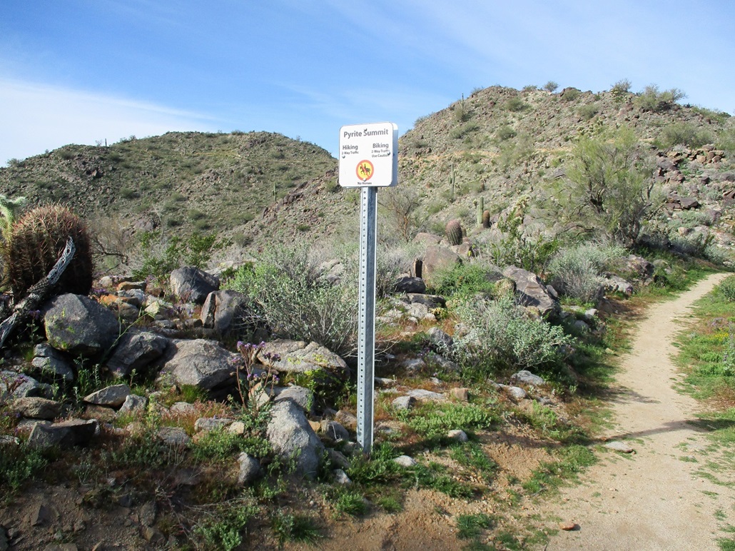
The start of the spur to the top
Hiking the trail near the top
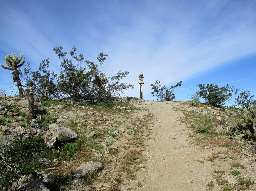
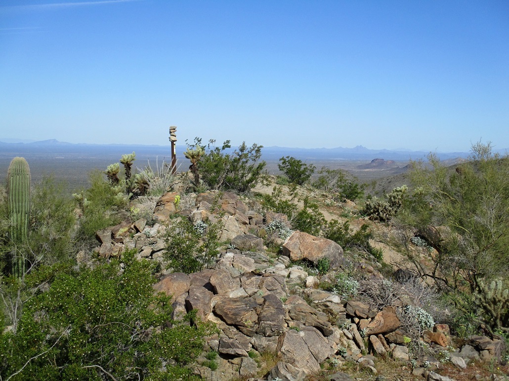
The top
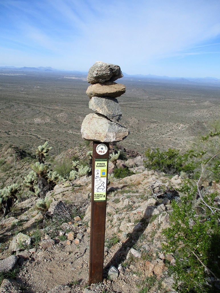
Close-up of the signpost and four balanced rocks
Looking south at the White Benchmark hill
View to the northeast: Barry Goldwater Peak has the tower (left) and in the gunsight is Cat Hill, which I hiked about three weeks ago
Northwest view of the top, plus Black Butte in the far left distance, and Vulture Peak in the far right

View of the Pyrite Summit Ridge from the washes below to the east
Arizona Page • Main Page • Trip Report
(c) 2023 Scott Surgent. For entertainment purposes only. This report is not meant to replace maps, compass, gps and other common sense hiking/navigation items. Neither I nor the webhost can be held responsible for unfortunate situations that may arise based on these trip reports. Conditions (physical and legal) change over time! Some of these hikes are major mountaineering or backpacking endeavors that require skill, proper gear, proper fitness and general experience.