
North & South Sheba Craters
May 9, 2020
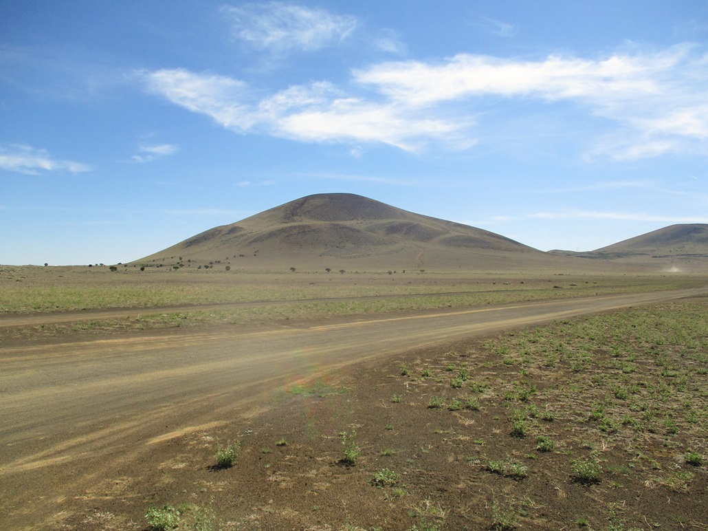
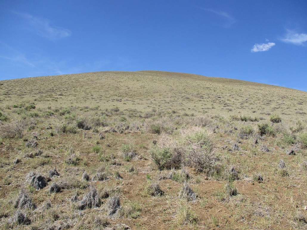
North Sheba Crater from the west.
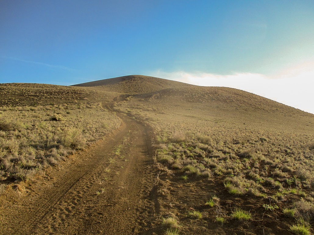
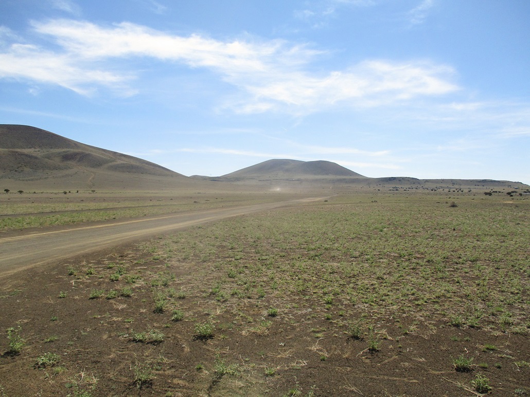
The road up.
Looking back down, giving a sense of the steepness.
>
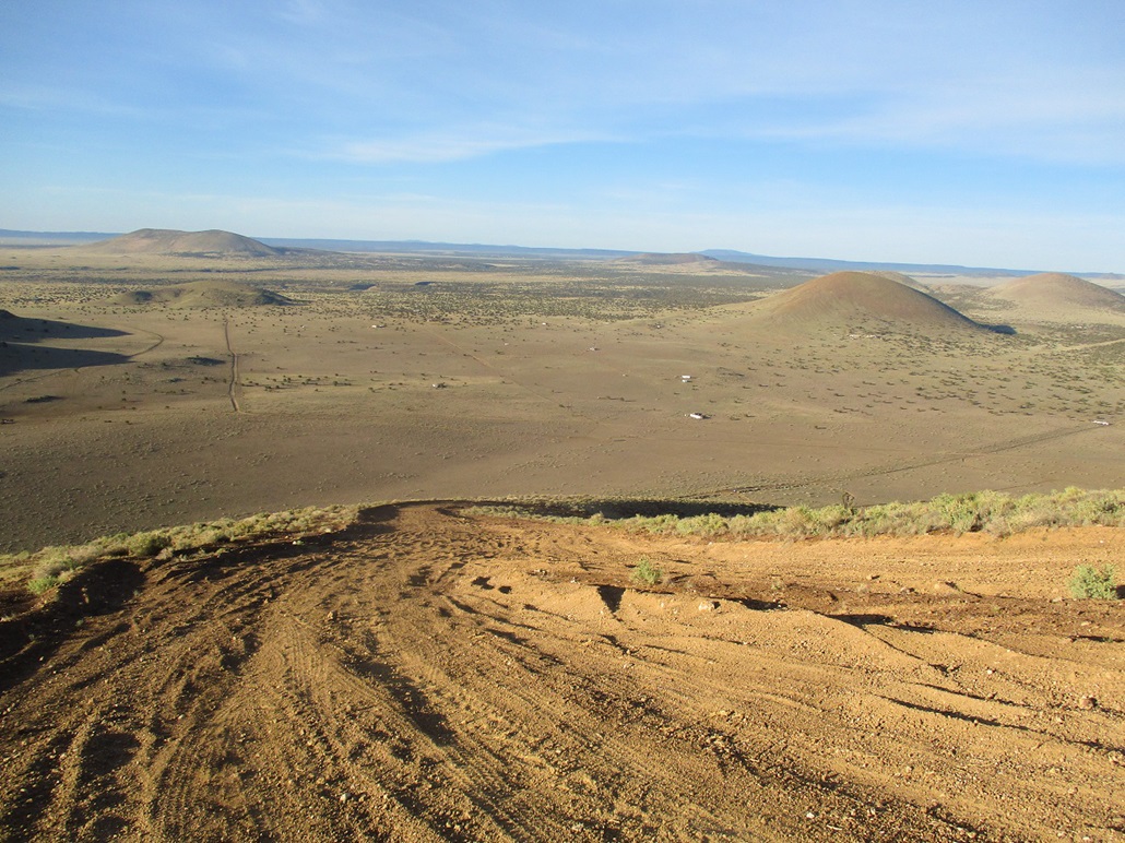
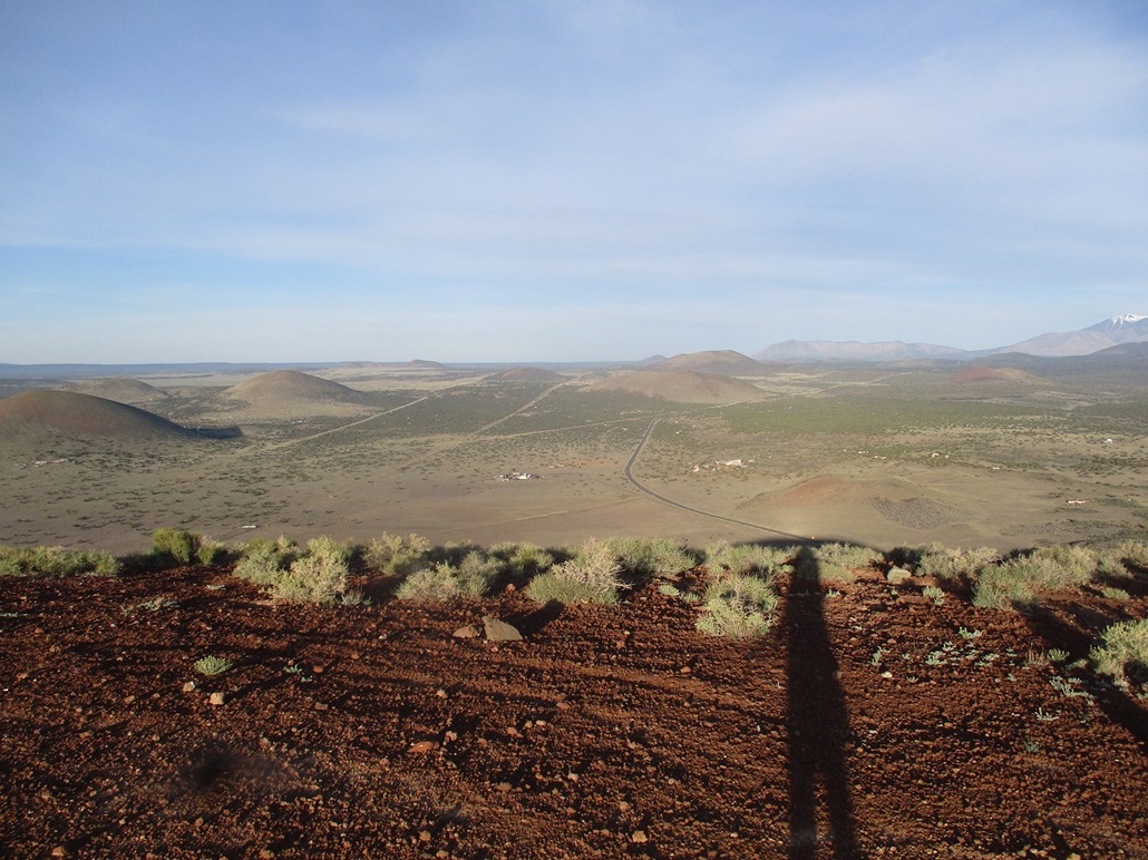
Summit view, Merriam Crater is seen in back.
West view. That's Leupp Road. The two hills in the center are Junction and Cochrane (in back). I hiked these next.
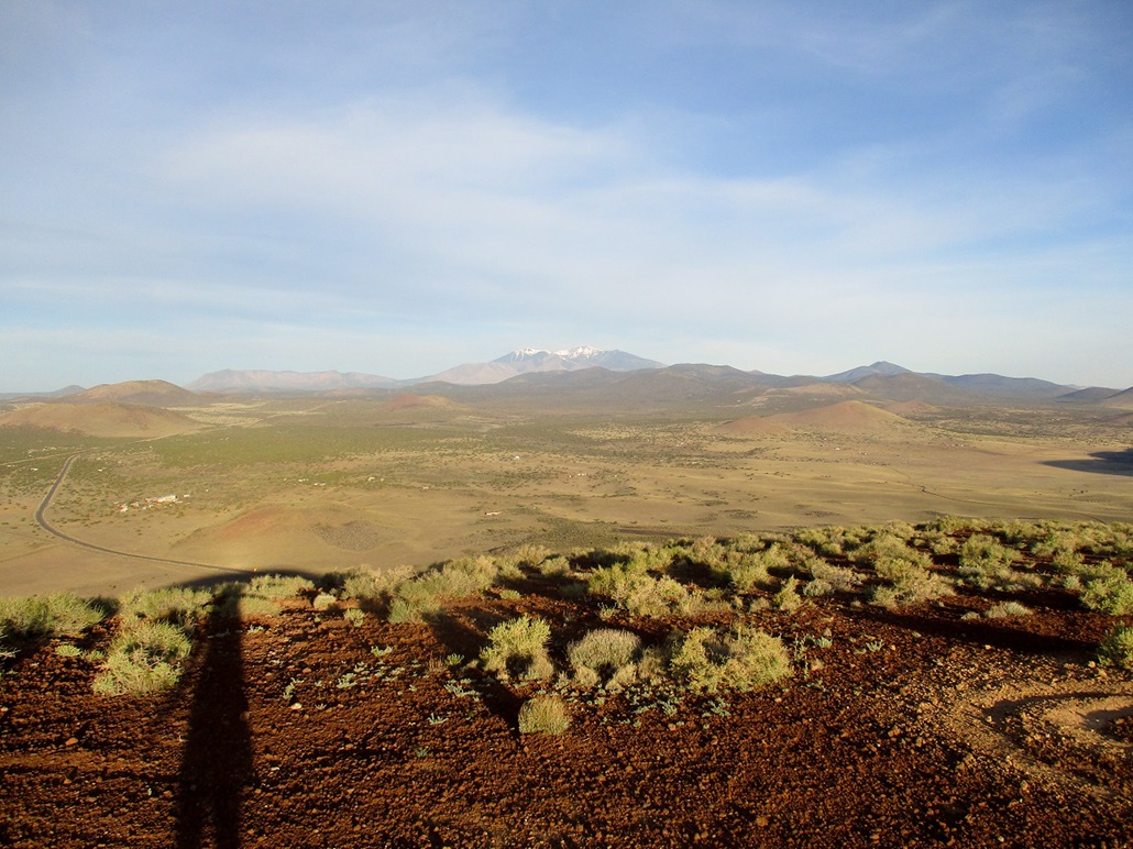
Northwestish view, Humphreys Peak.
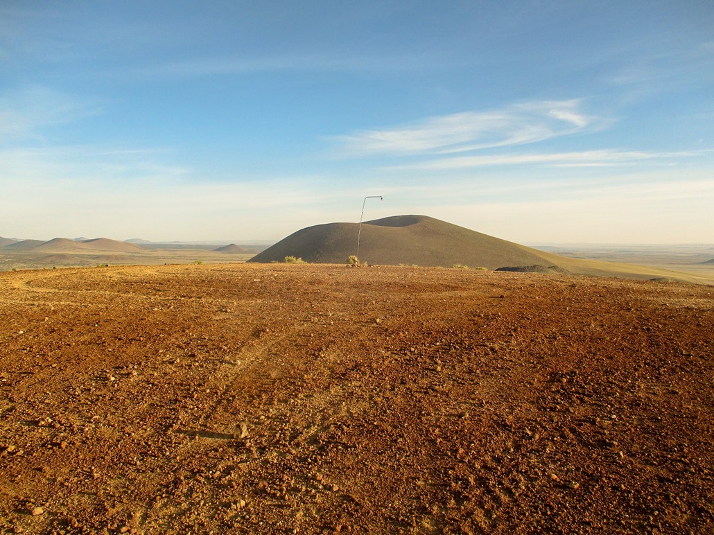
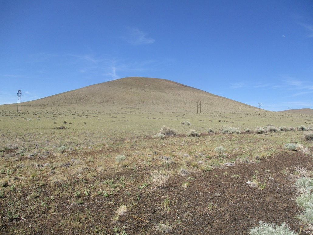
South Sheba Crater.
View from where I parked to the northeast.
Hiking uphill.
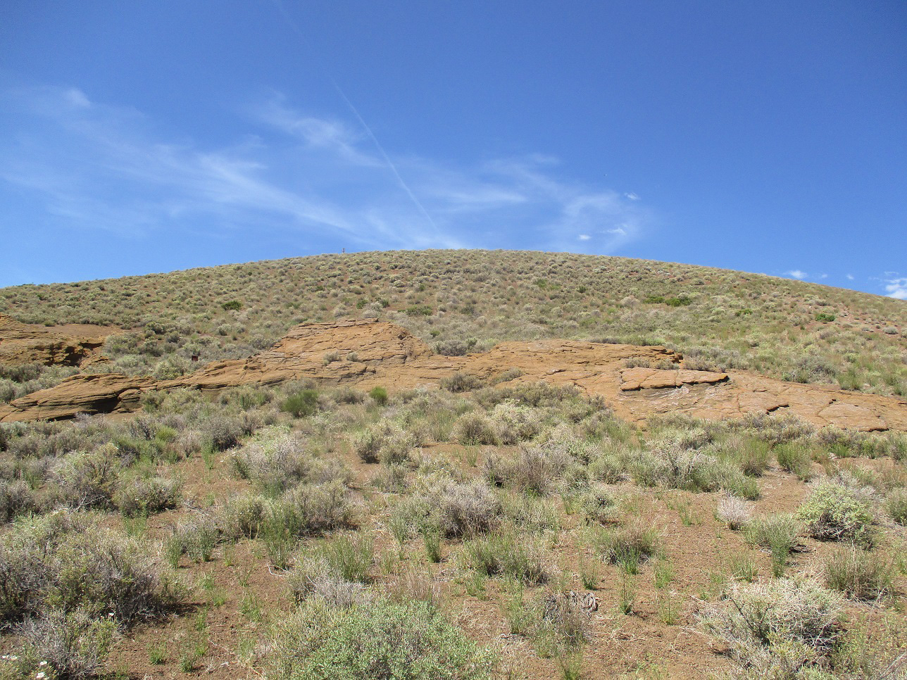
Rock formations and the summit up ahead.

Massive cairn at the top.
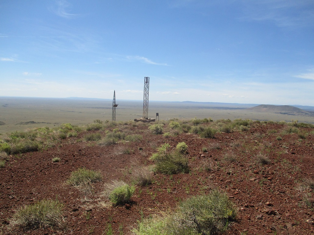
Old wind things (see below)
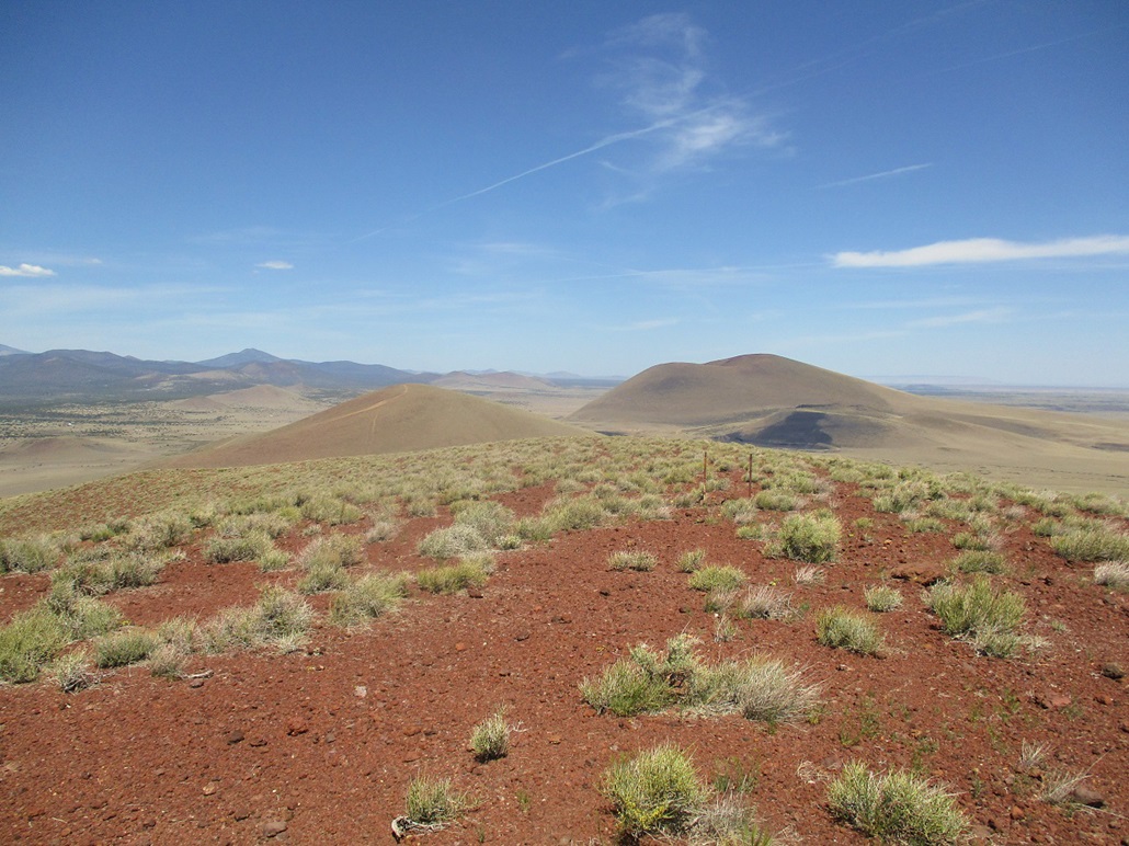
North view, Merriam Crater and North Sheba Crater.
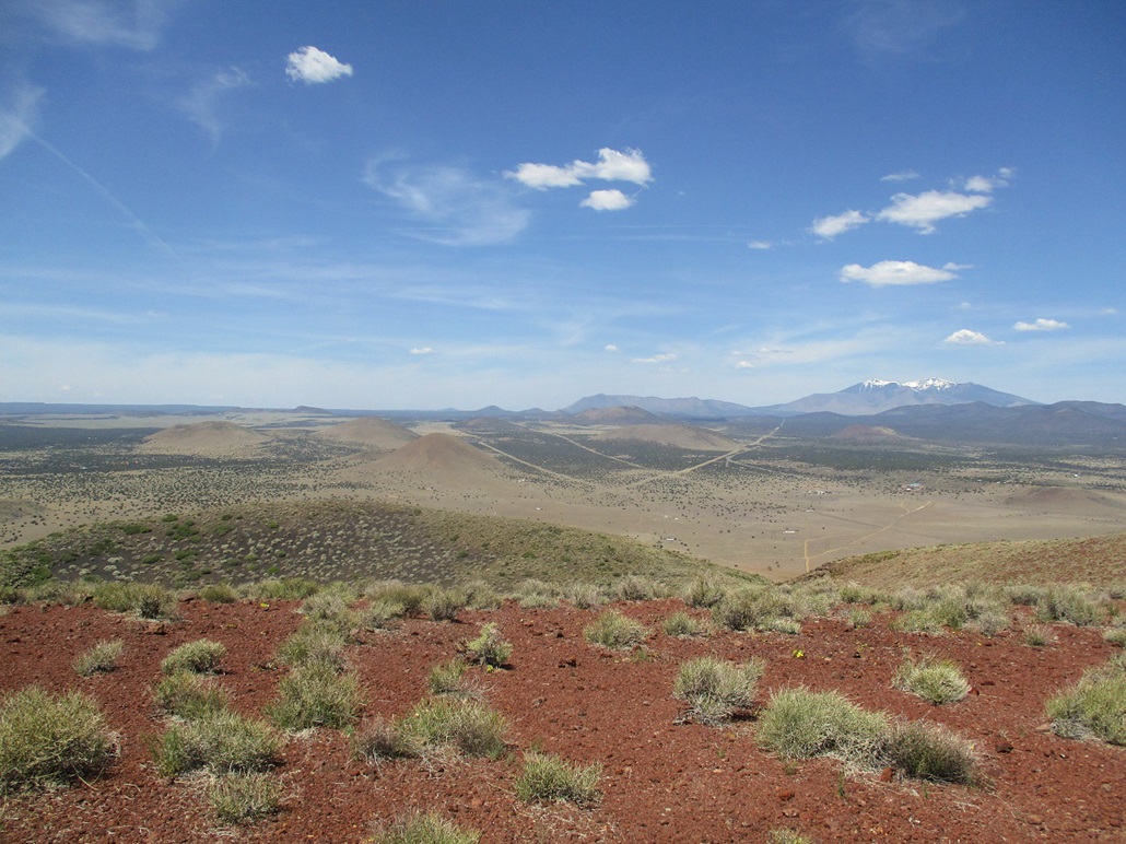
West view, Humphreys and a panoply of volcanic mounds.
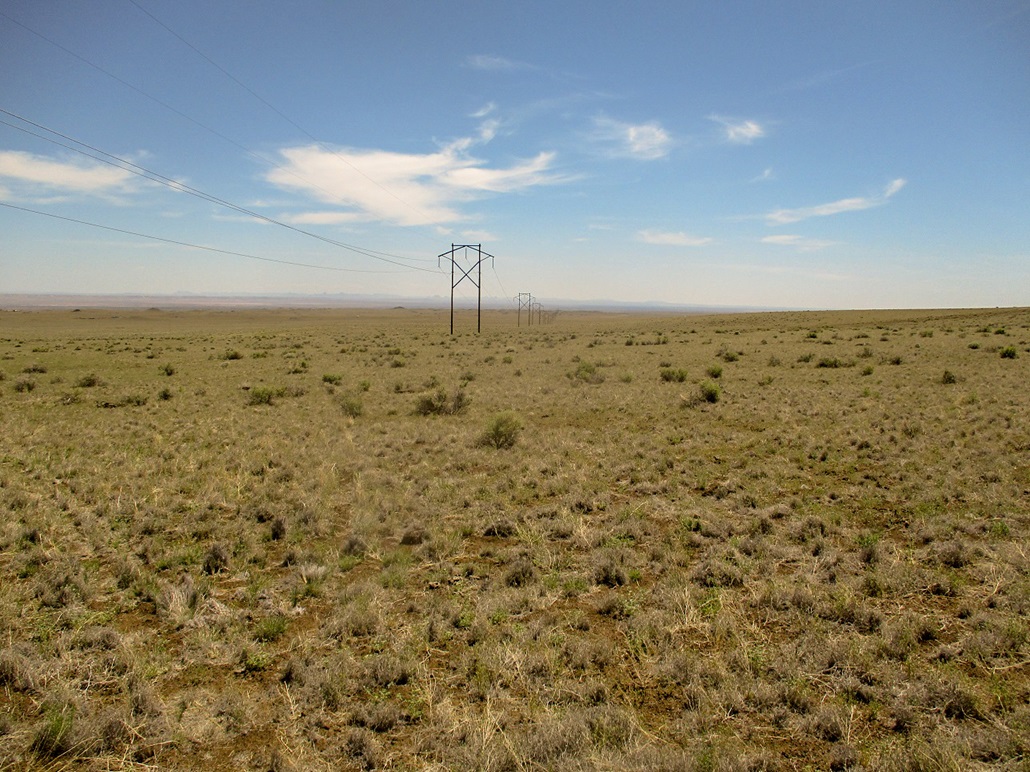
Power line heading to infinity on the Navajo Res.
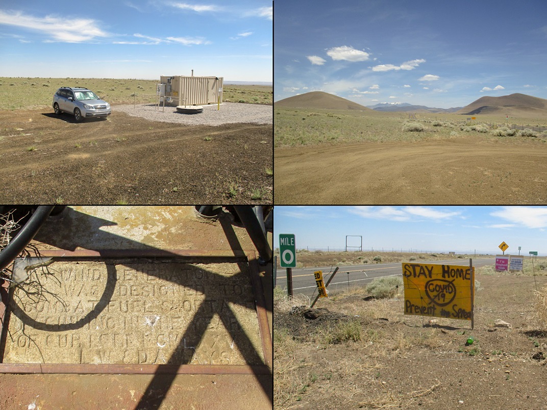
Montage: where I parked, Humphreys framed between North Sheba and Merriam, a concrete marker at the base of the wind energy tower thing, and a sign at the Navajo Reservation boundary.
Arizona Page • Main Page • Trip Report
Mobile version (c) 2020 Scott Surgent. For entertainment purposes only. This report is not meant to replace maps, compass, gps and other common sense hiking/navigation items. Neither I nor the webhost can be held responsible for unfortunate situations that may arise based on these trip reports. Conditions (physical and legal) change over time! Some of these hikes are major mountaineering or backpacking endeavors that require skill, proper gear, proper fitness and general experience.