November 24, 2025
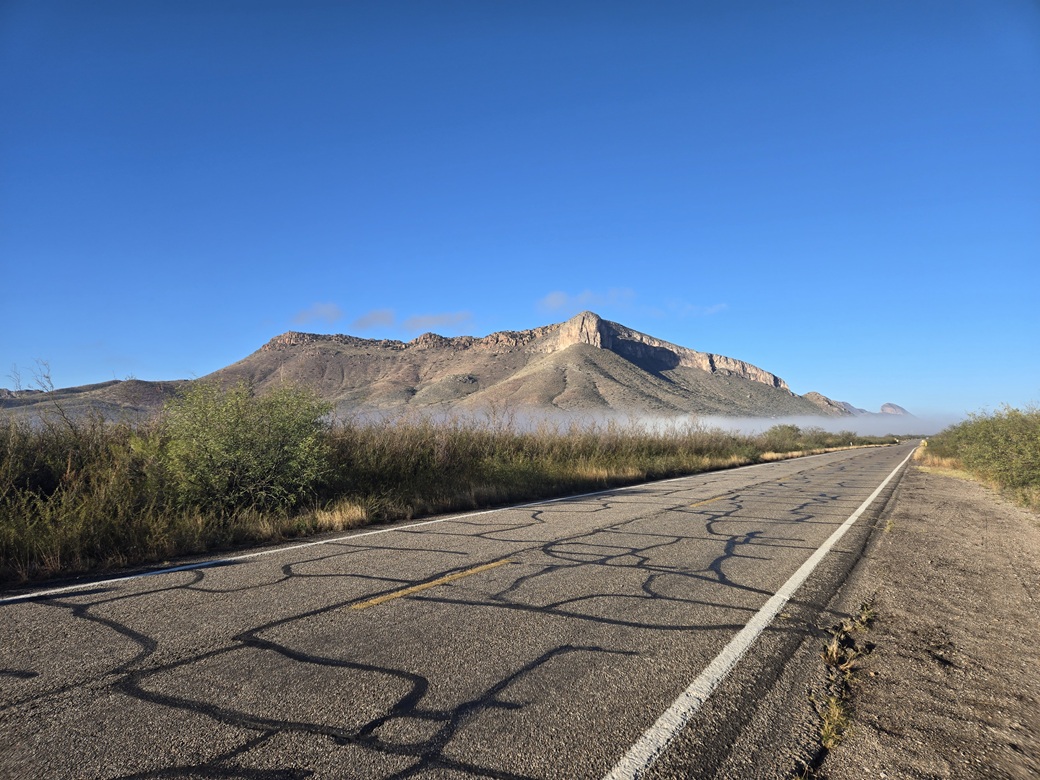
Spire Peak as seen from highway AZ-82 west of Whetstone, with some fog below
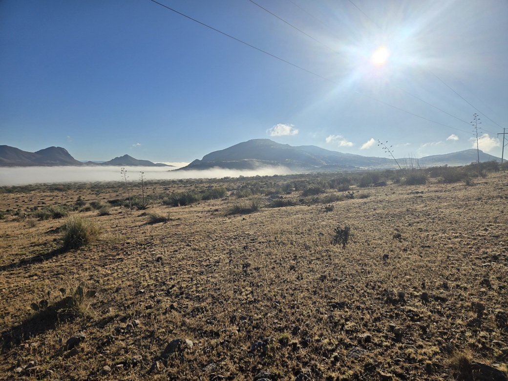
Now seen from the west, into the sun, showing the fog layer
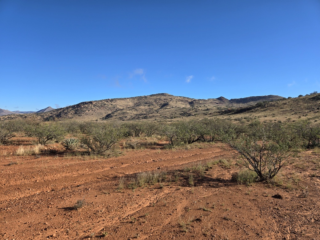
View of the peak as I start my hike
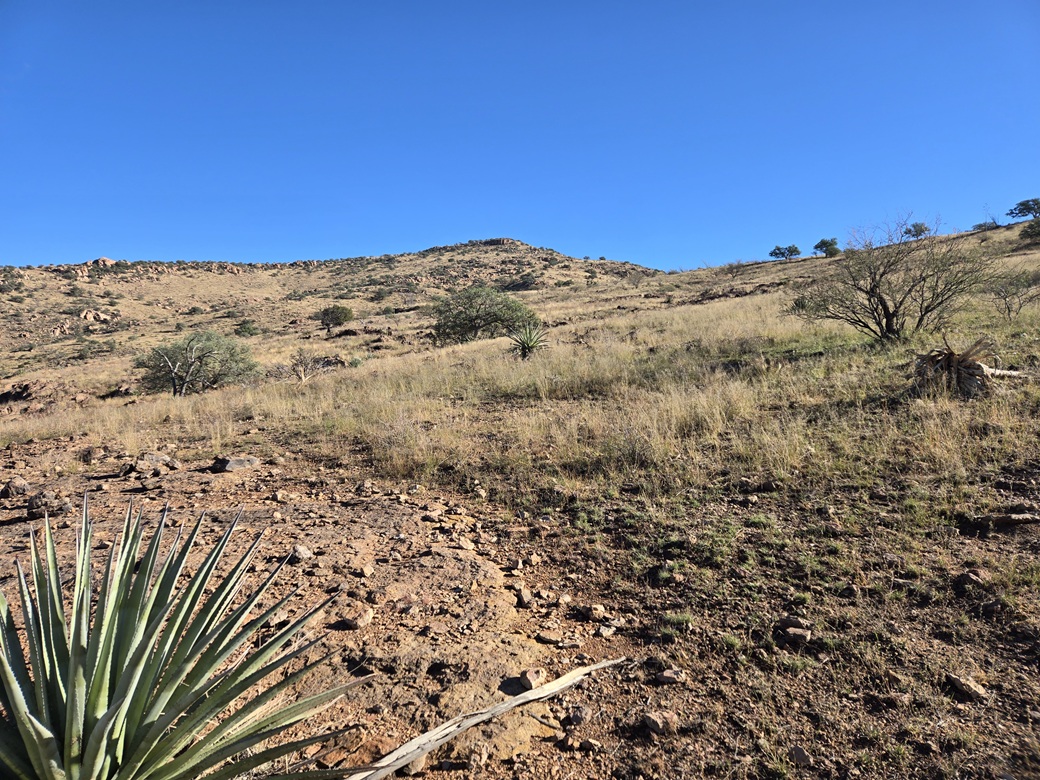
About a quarter of the way up
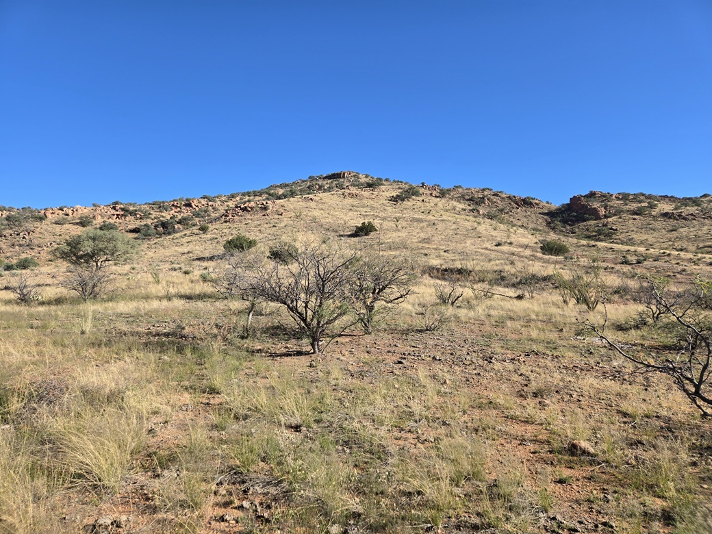
Getting higher now
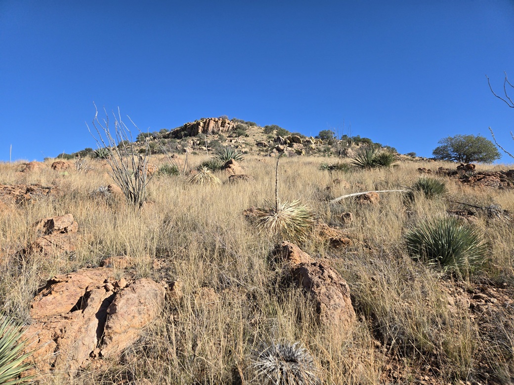
Them cliffs is getting closer
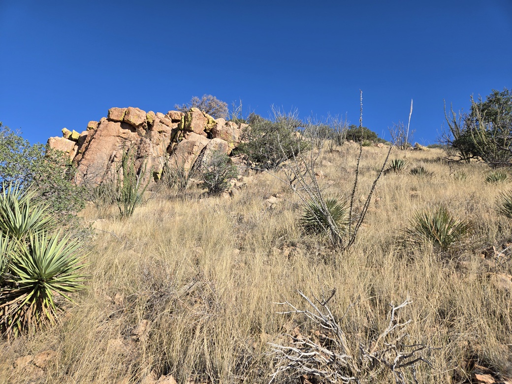
At the cliffs, almost to the top
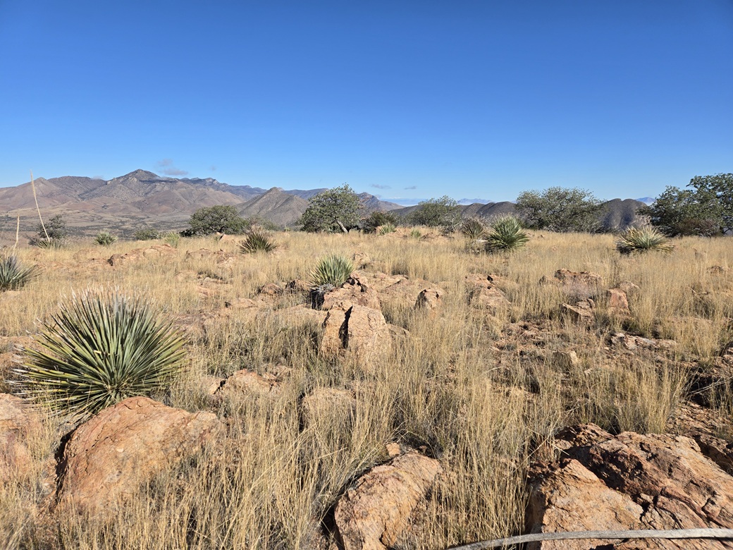
Top rocks and cairn
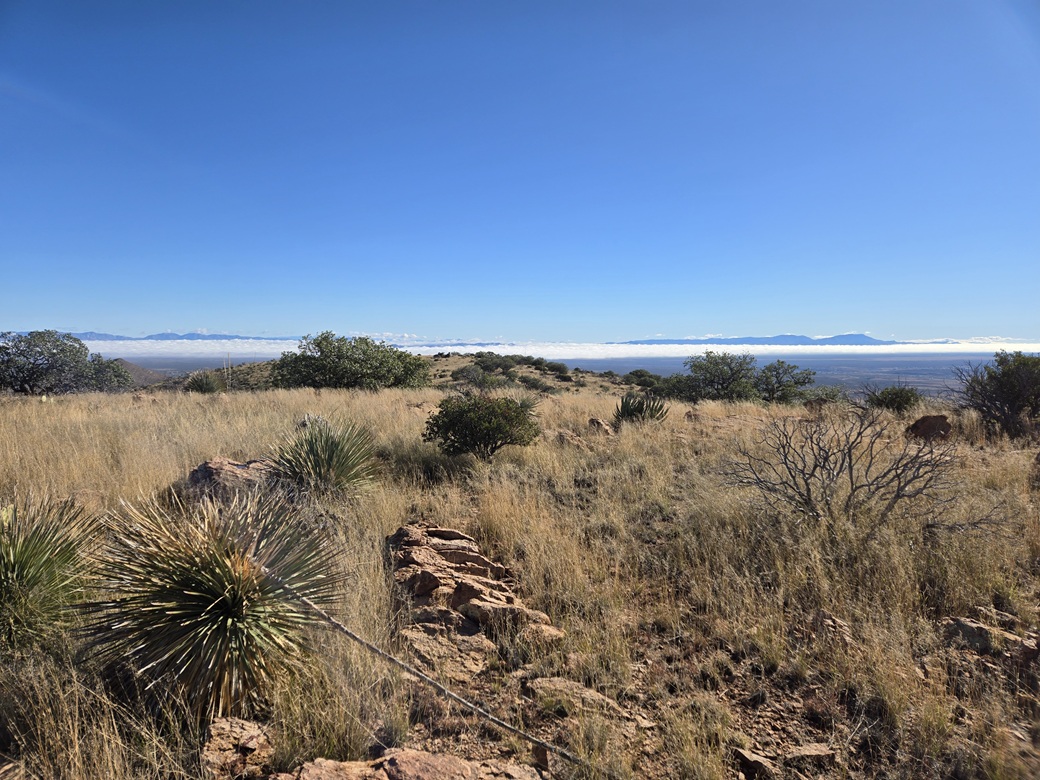
View east
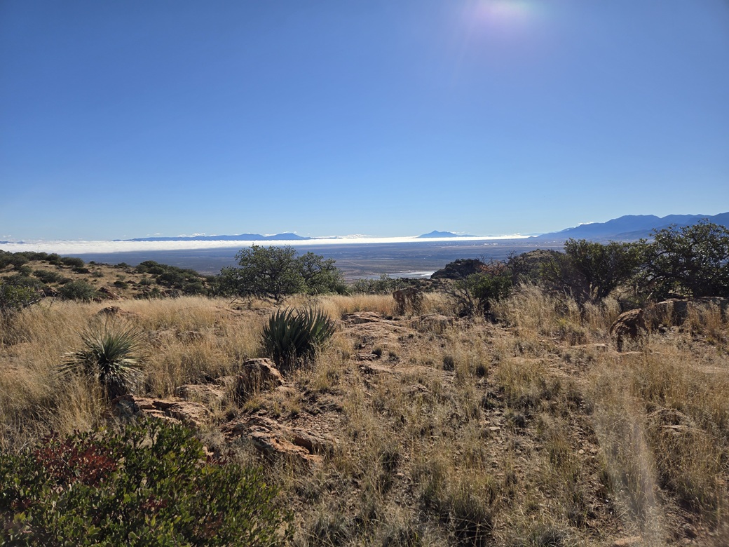
Southeast, the Mule Mountains, Cerro San Jose, and some of the Huachucas rise above the fog
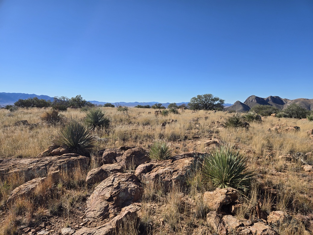
View south
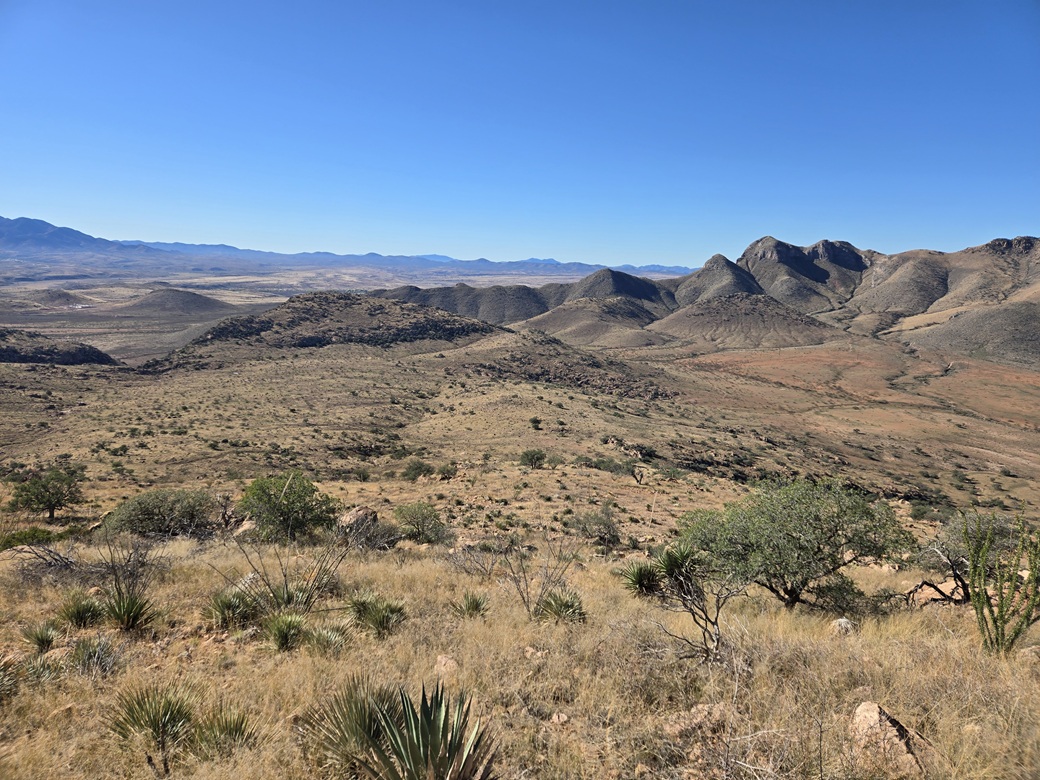
Now walking down, Peak 5414 in the distance
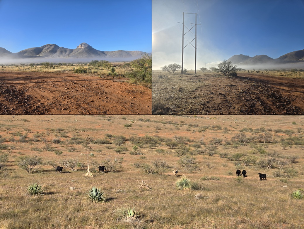
A couple foggy images, and some cows watching me as I walk by. From left: Ed, Ned, Ted, Fred, Jed and Tanner
Arizona Page • Main Page • Trip Report
(c) 2025 Scott Surgent. For entertainment purposes only. This report is not meant to replace maps, compass, gps and other common sense hiking/navigation items. Neither I nor the webhost can be held responsible for unfortunate situations that may arise based on these trip reports. Conditions (physical and legal) change over time! Some of these hikes are major mountaineering or backpacking endeavors that require skill, proper gear, proper fitness and general experience.