
S P Mountain, O'Neill Crater & Antelope Hill
November 9, 2019
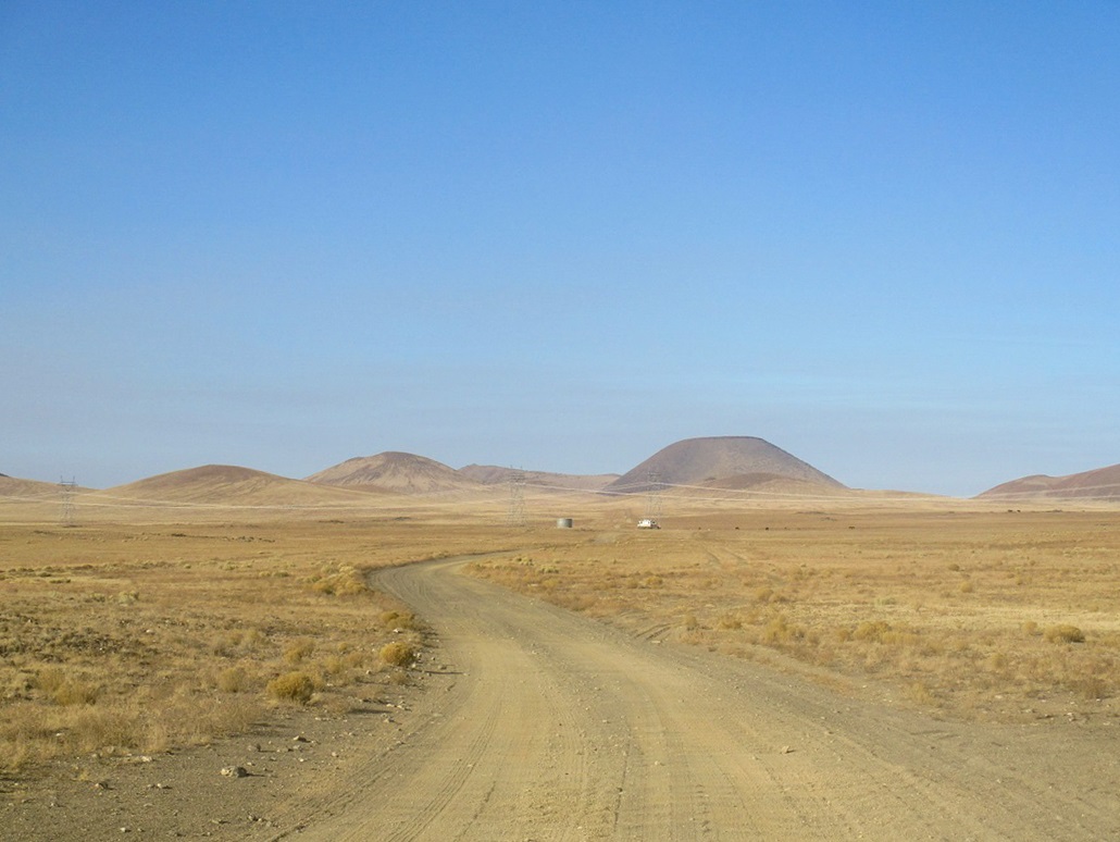
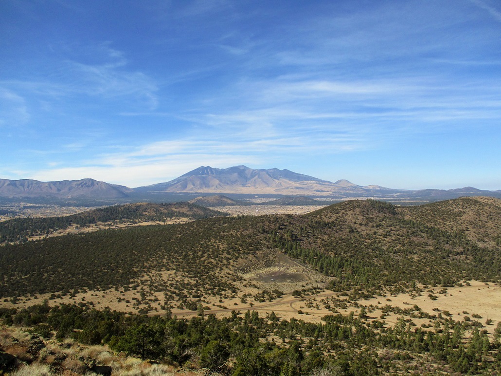
Distance view. S P is the darker one
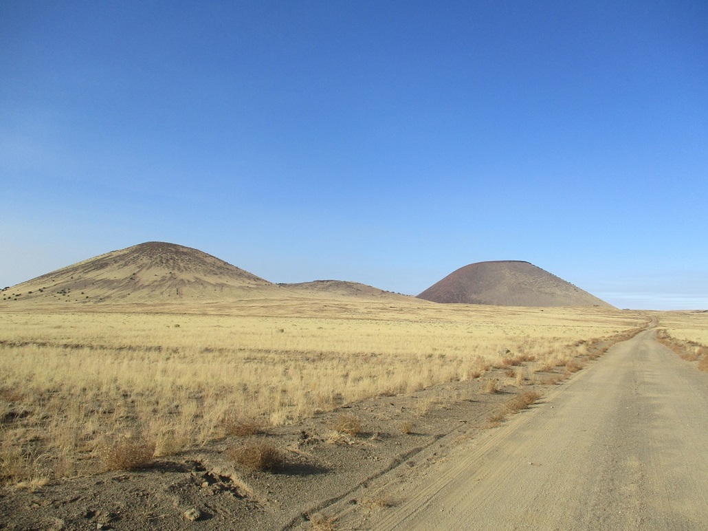
About a mile or two away
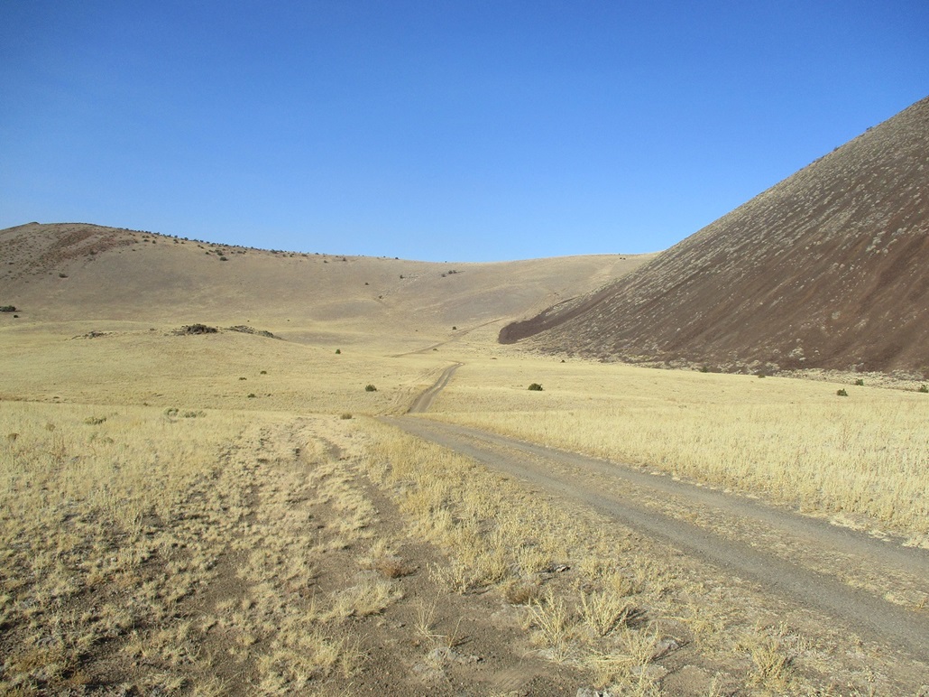
The road up to the saddle below the steep pebble slopes
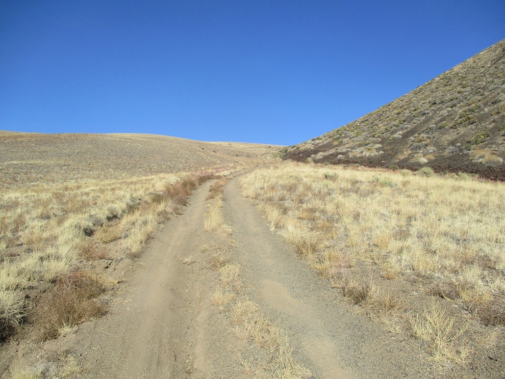
Halfway up the road
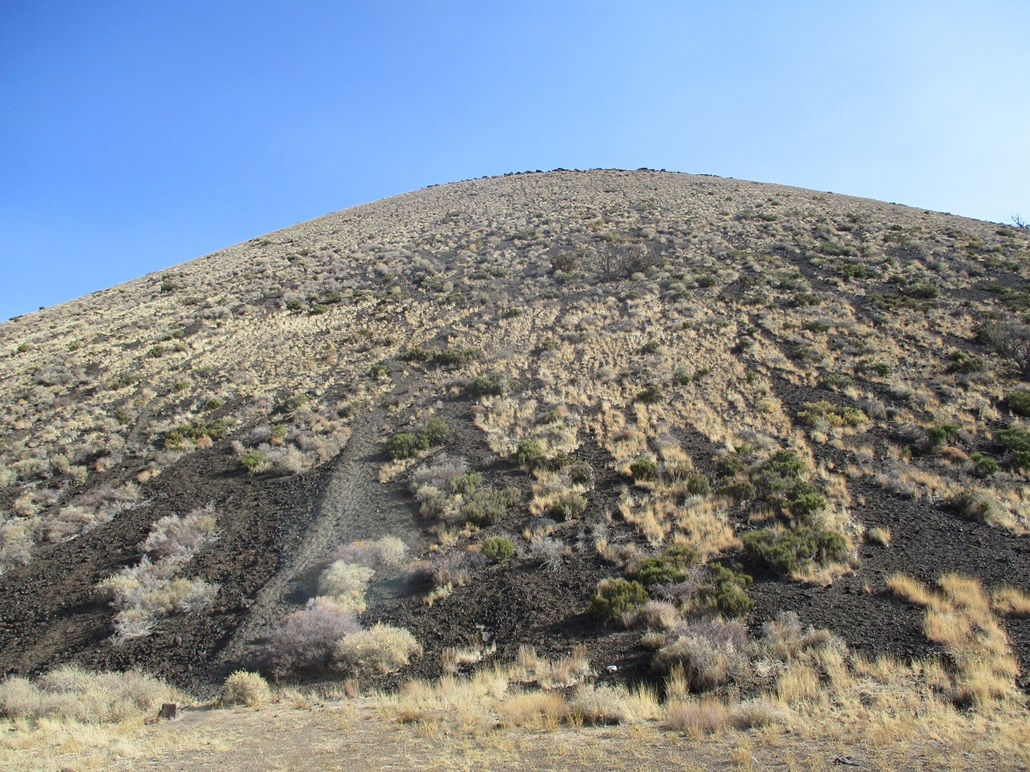
Steep volcanic scree slopes
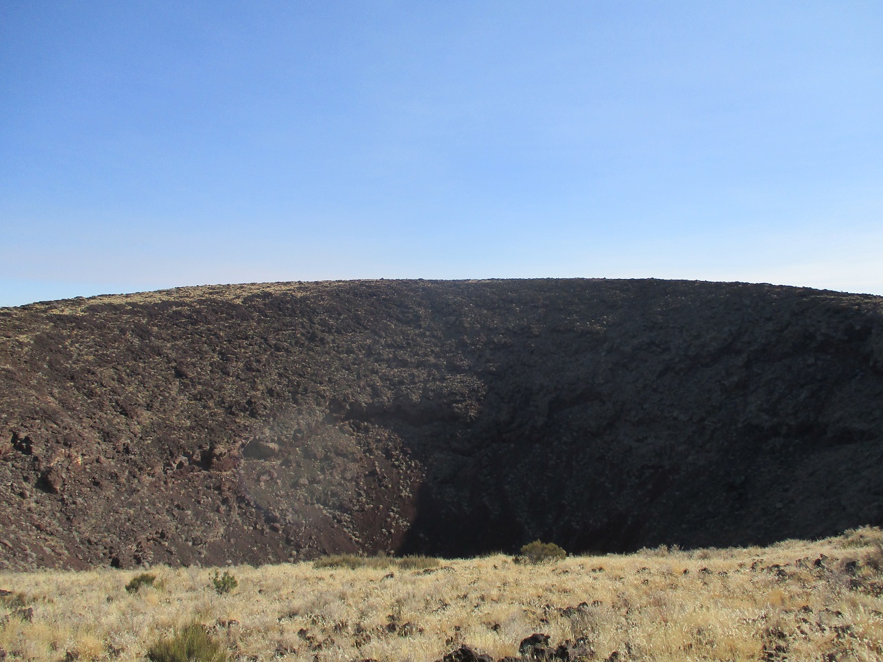
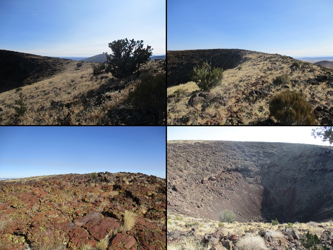
The south rim, with the simmit across the way. A big hole blocks the way so I went around
The summit cairn

View southwest at Kendrick (and smoke)
View southeast at Humphreys (and smoke)
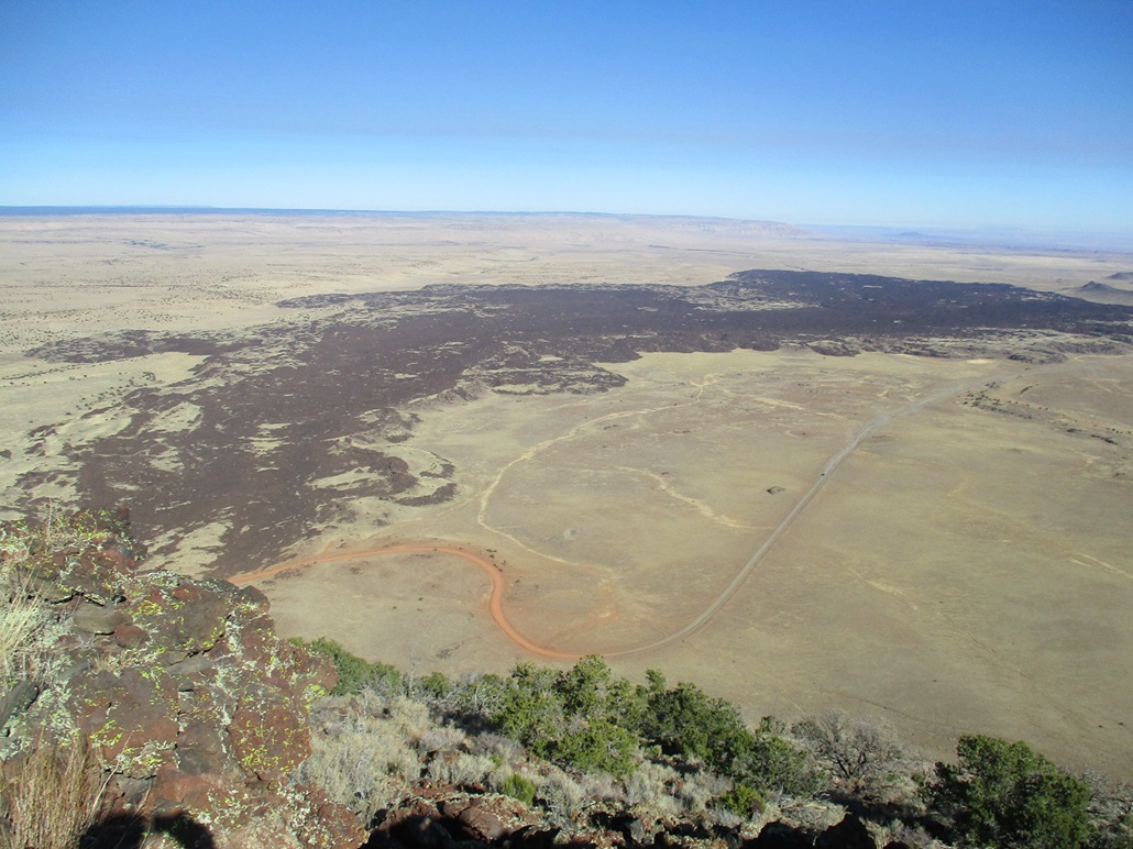
The S P Lava Flow, c. 71,000 years ago
My car is visible on the road yonder
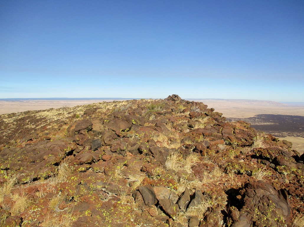
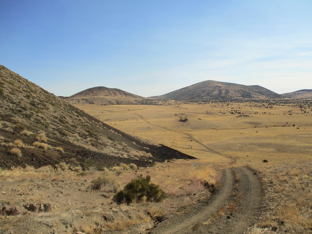
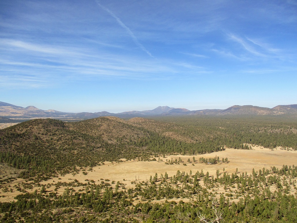
Views as I hiked around the crater
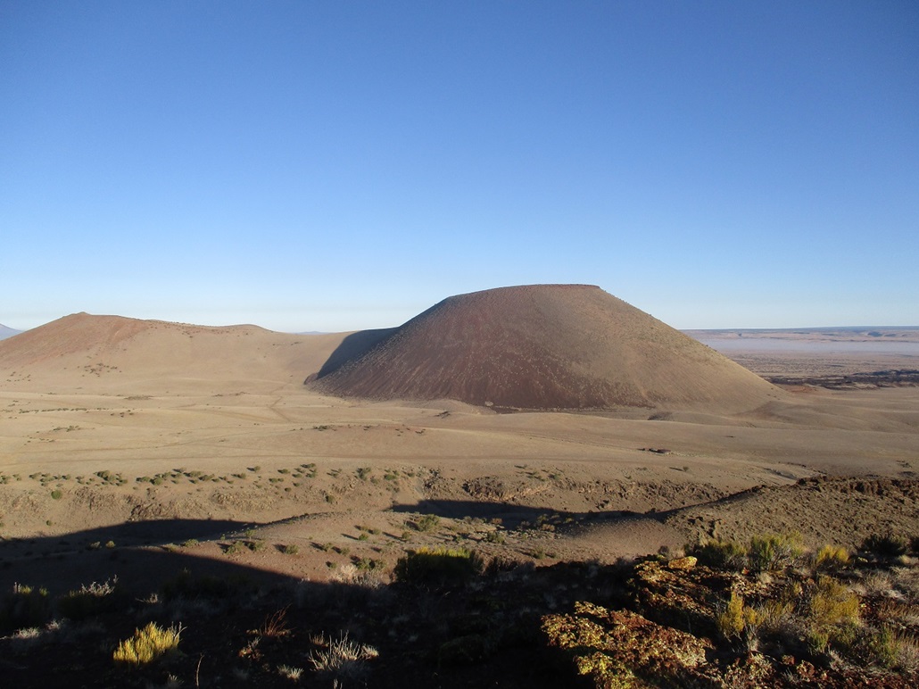
S P Mountain as viewed from nearby Peak 6666 (June 2021)
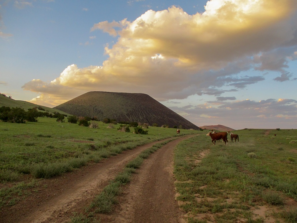
S P Mountain in late dusk light, with cows (August 2021)
O'Neill Crater's west-facing slopes
From the saddle, the summit appears
Closing in on the top
View of Humphreys from the top
O'Leary to the north
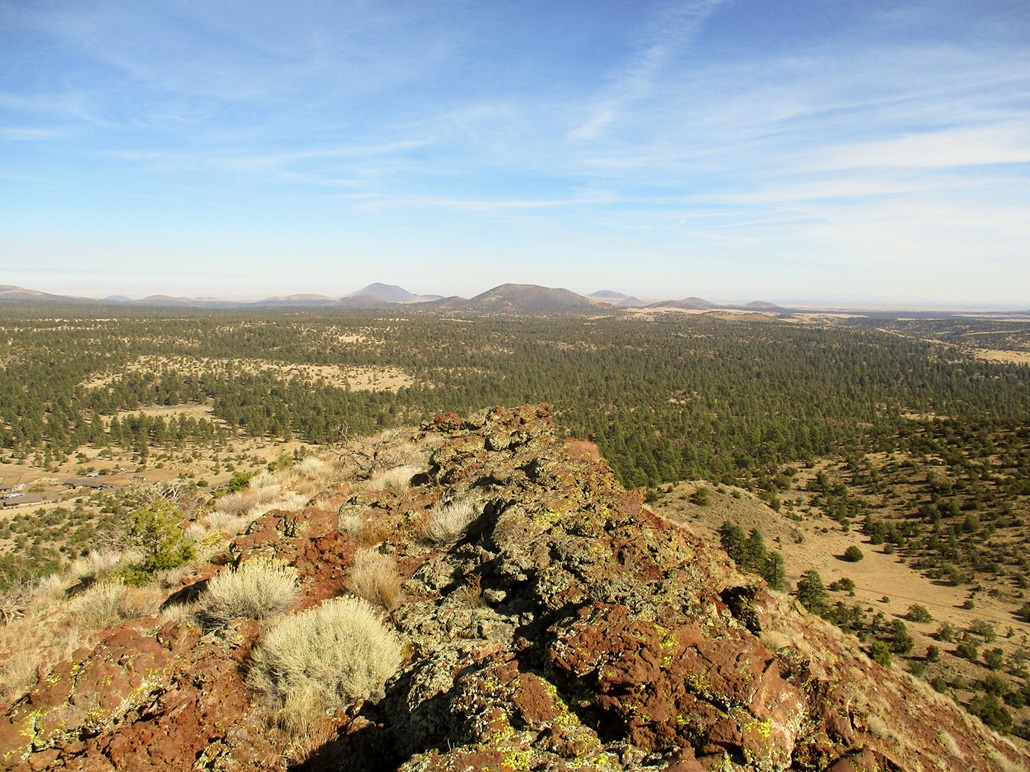
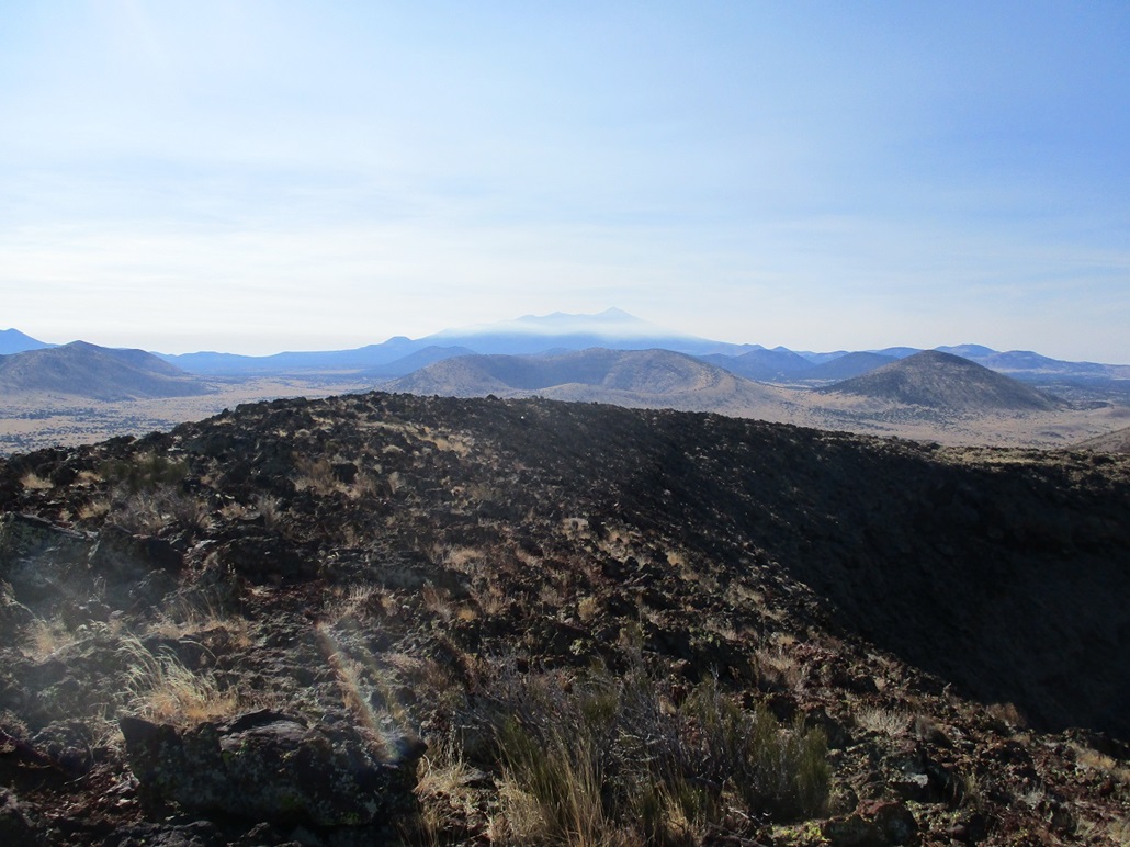
View east, Merriam Crater is the main cone in the distance

The summit rocks and the benchmark
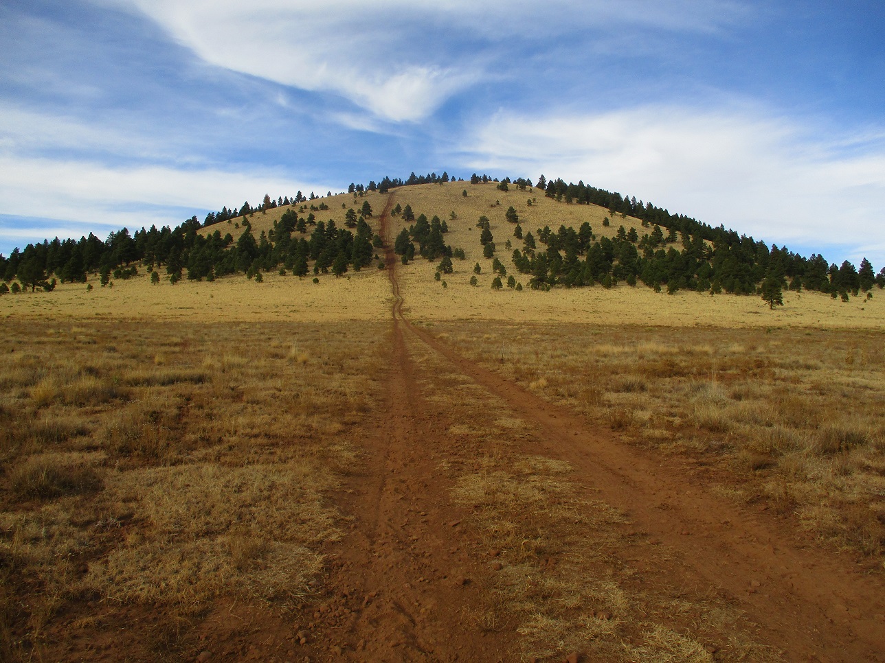
Antelope Hill
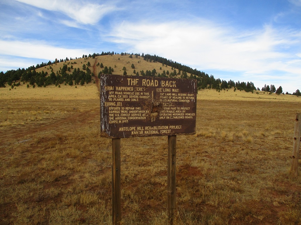
The sign
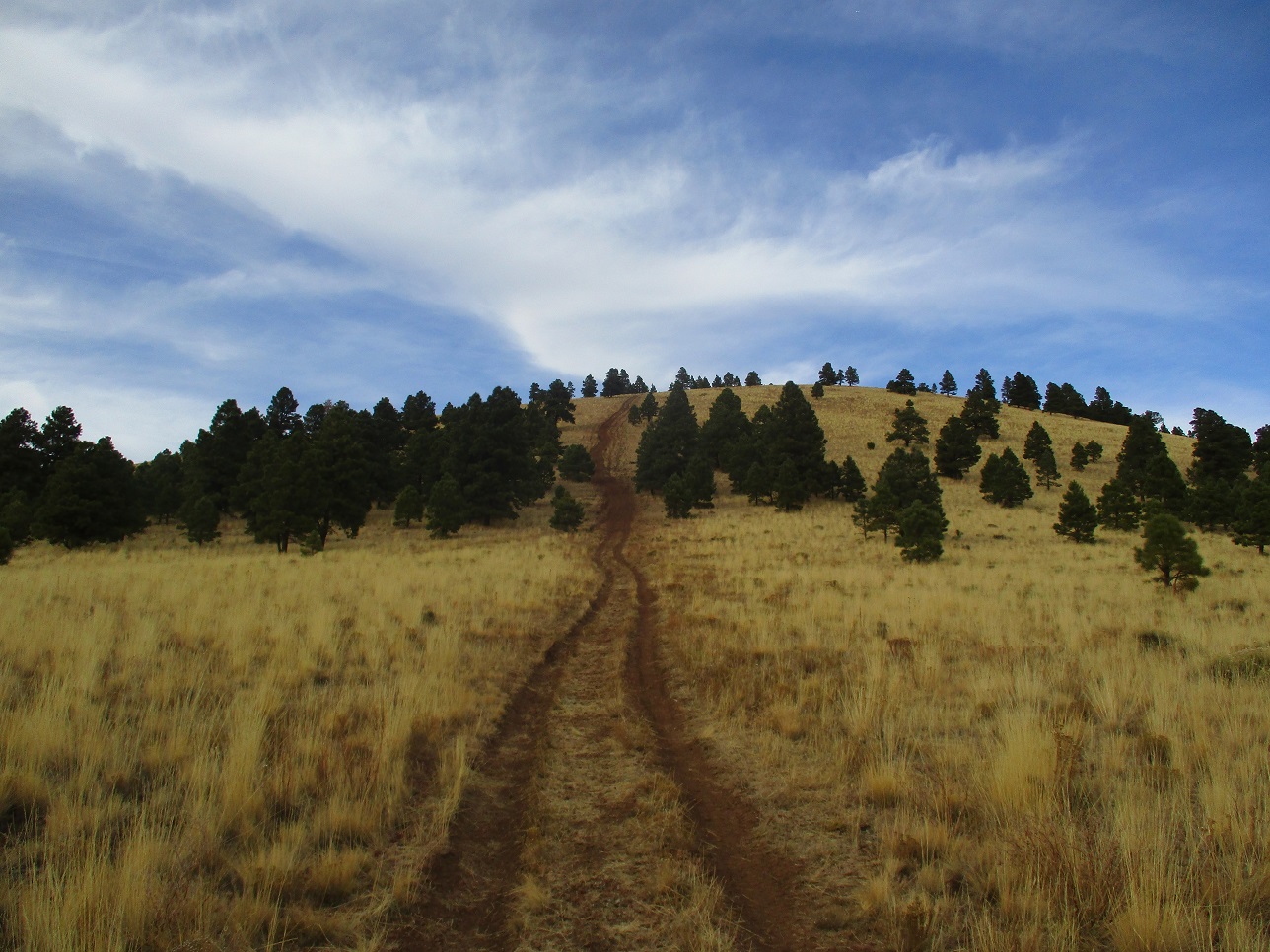
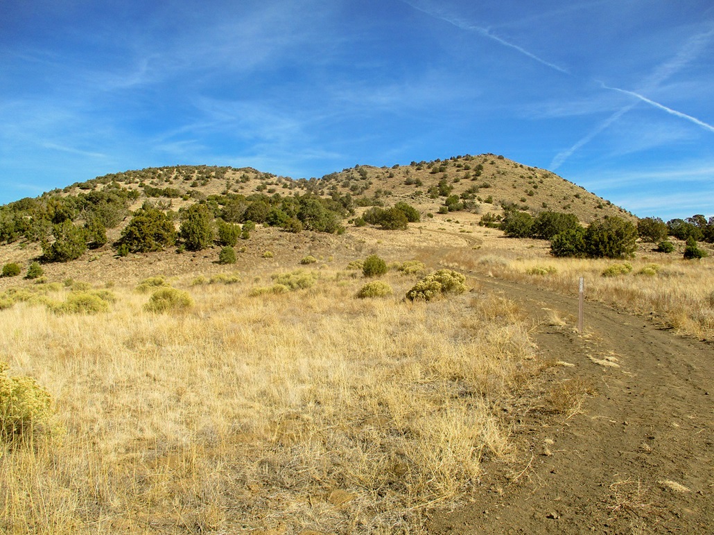
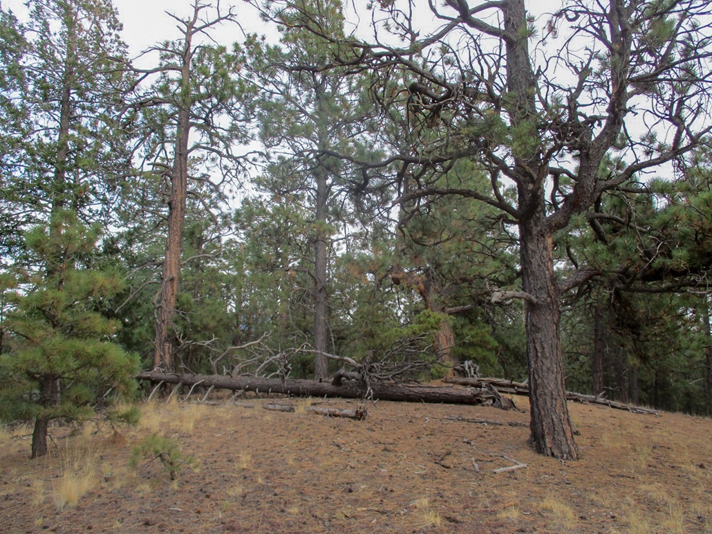
Approaching the lower trees
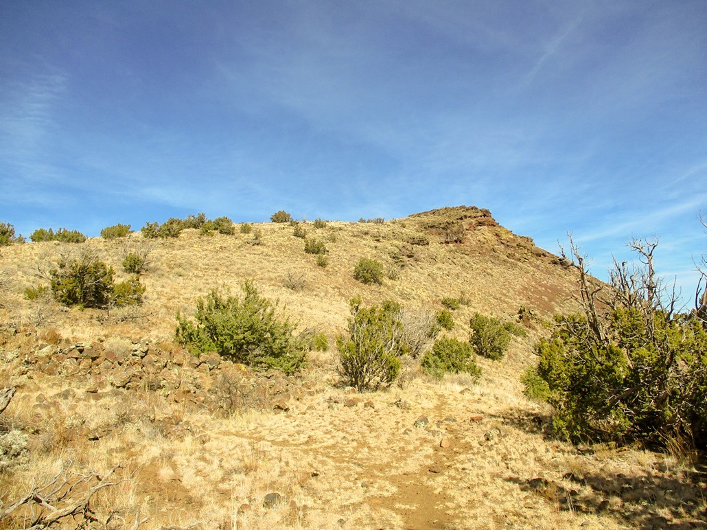
Now higher up
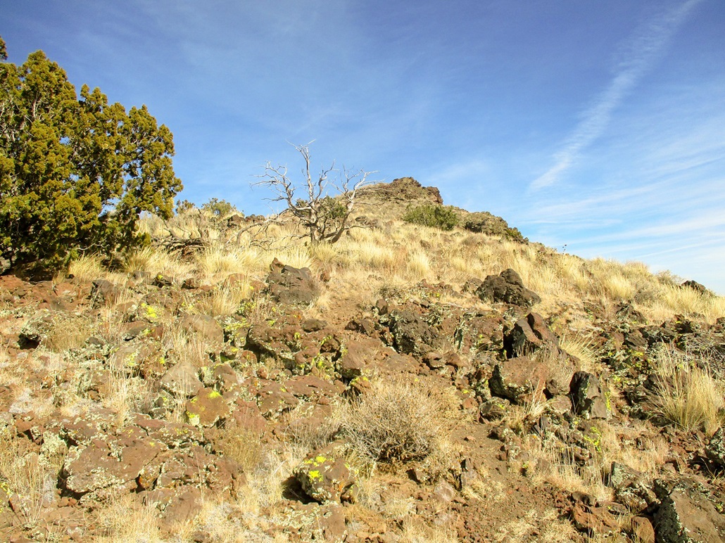
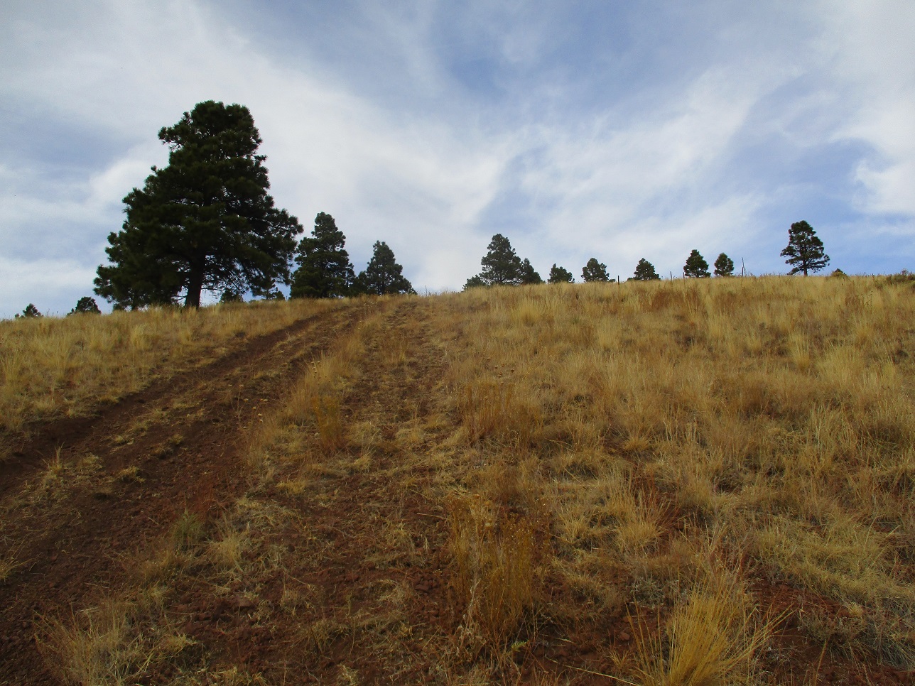
Easy walk along the ridge top
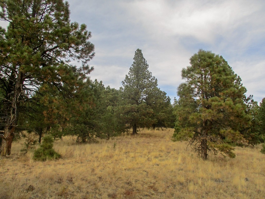
Summit area
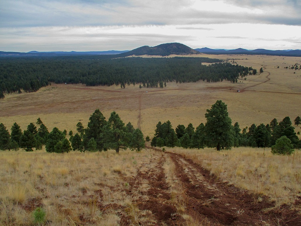
View down at the road and my car, plus Wild Bill Hill in the background
Arizona Page • Main Page • Trip Report
Mobile version (c) 2019 Scott Surgent. For entertainment purposes only. This report is not meant to replace maps, compass, gps and other common sense hiking/navigation items. Neither I nor the webhost can be held responsible for unfortunate situations that may arise based on these trip reports. Conditions (physical and legal) change over time! Some of these hikes are major mountaineering or backpacking endeavors that require skill, proper gear, proper fitness and general experience.