
Tinajas Altas Peak
November 10, 2018
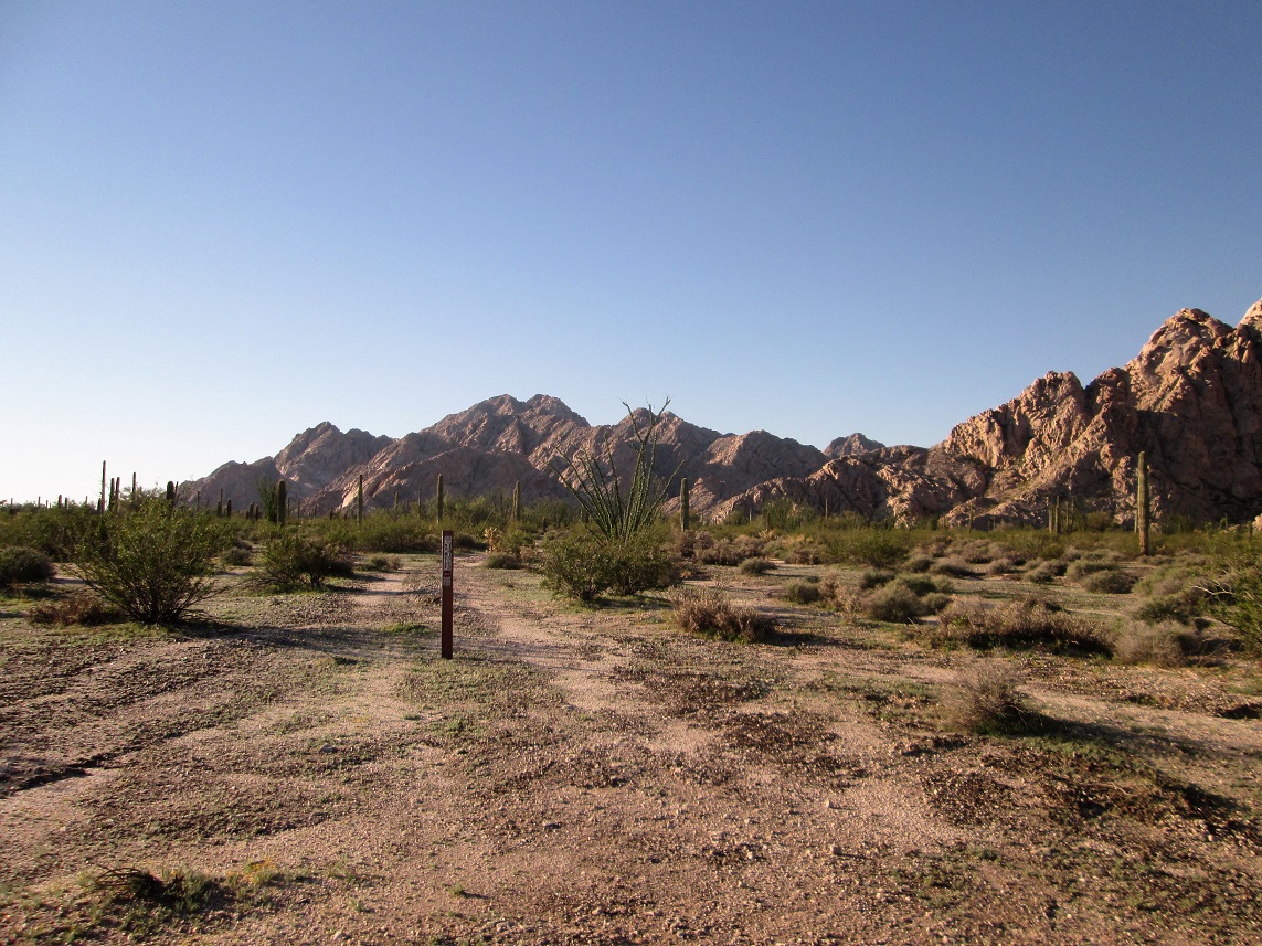
View of the Tinajas Mountains from the north. I think the left-most of the doiuble-summit may be the highest point
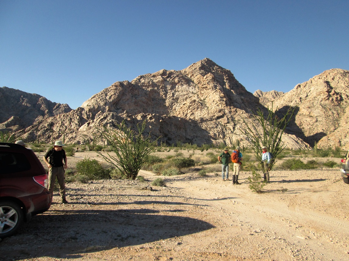
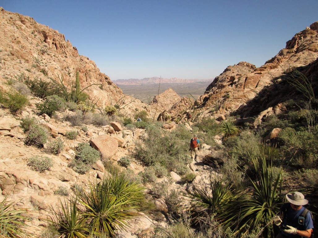
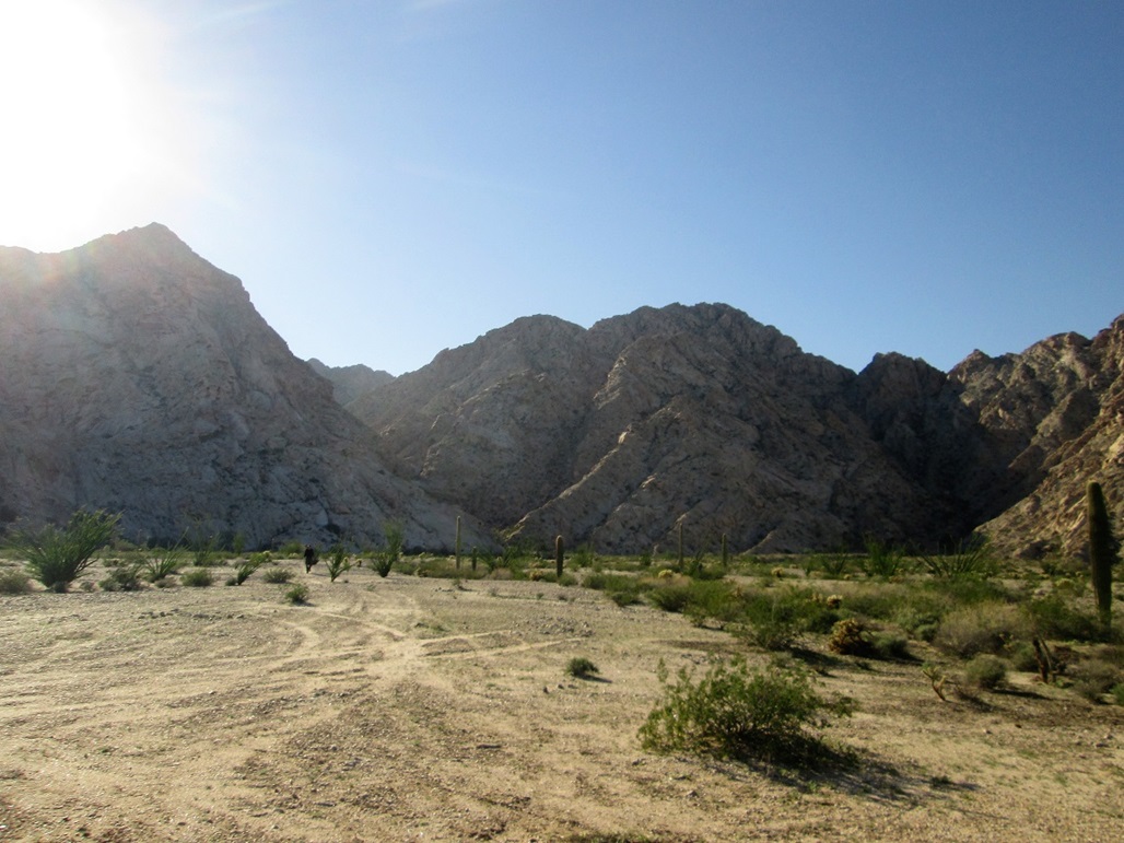
We congregate at the start. Our ascent canyon is in shade, to the right. The summit is the left of the two distant peaks to the right
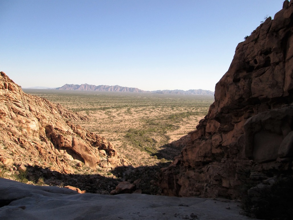
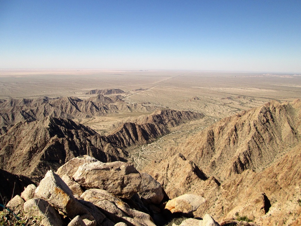
Now atop a big pour-off, looking out at the Cabeza Prieta Mountains
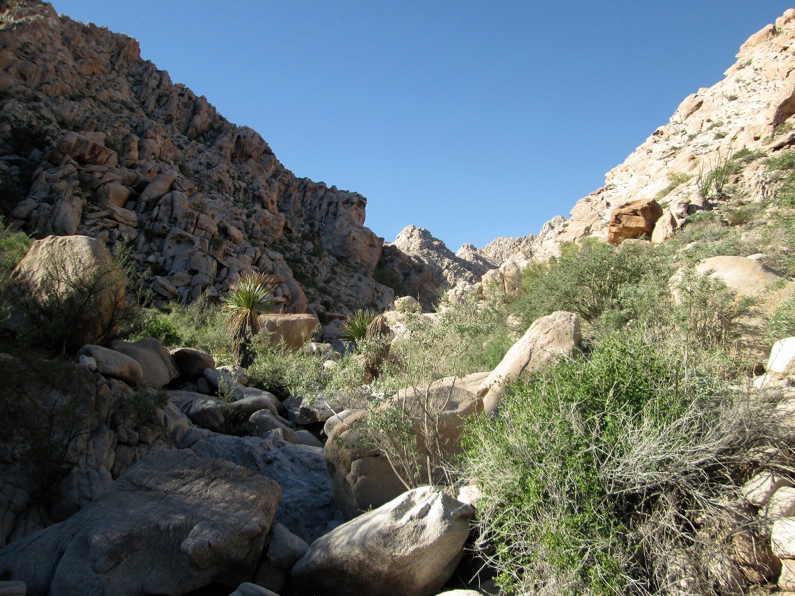
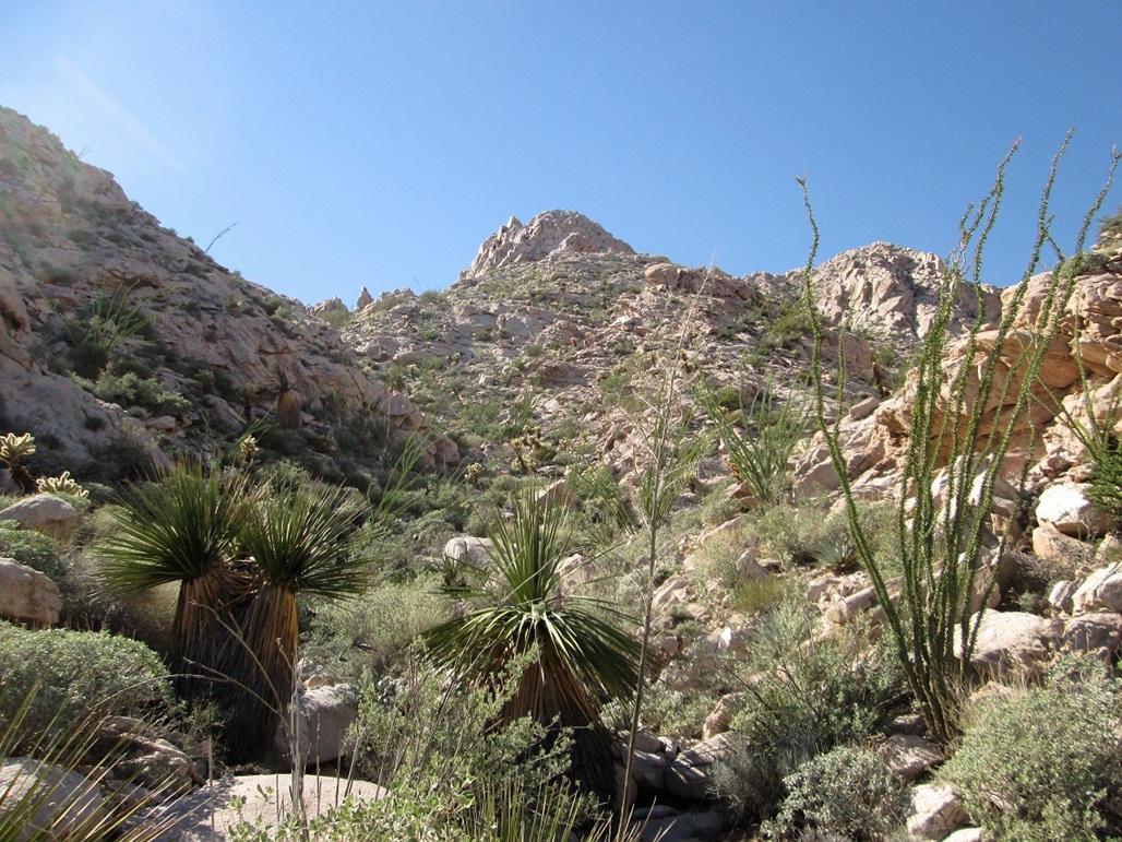
A view up the canyon. The peaks ahead are not the summit
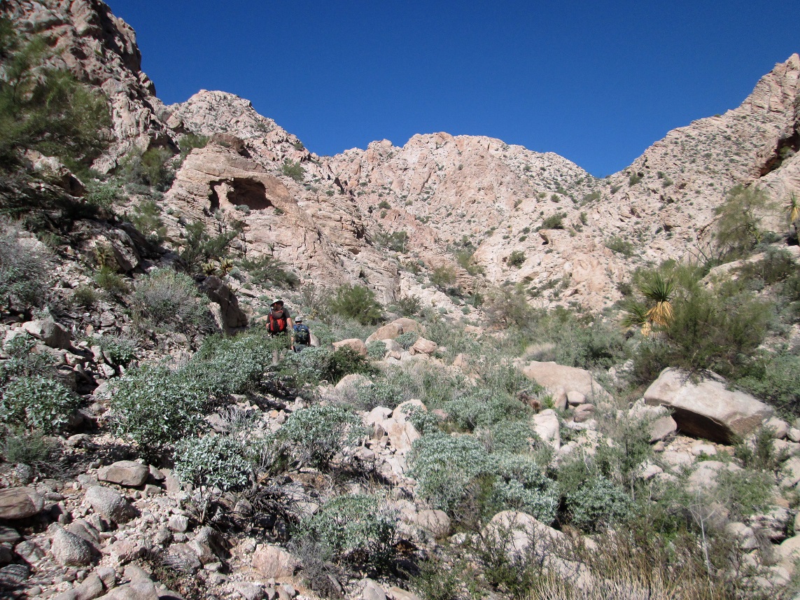
More canyon. No, that's not the summit up ahead

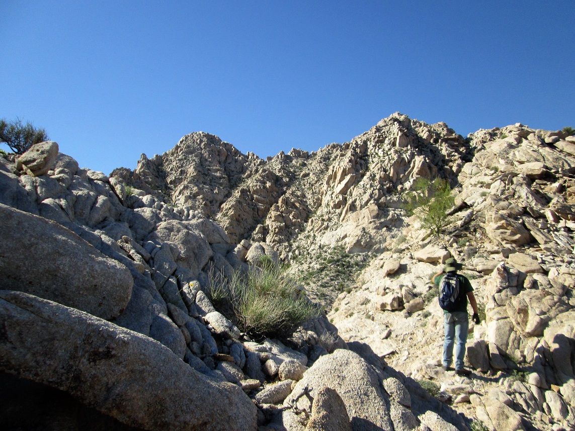
The ascent canyon makes a left. The summit is just beyond the point at the top of this gully
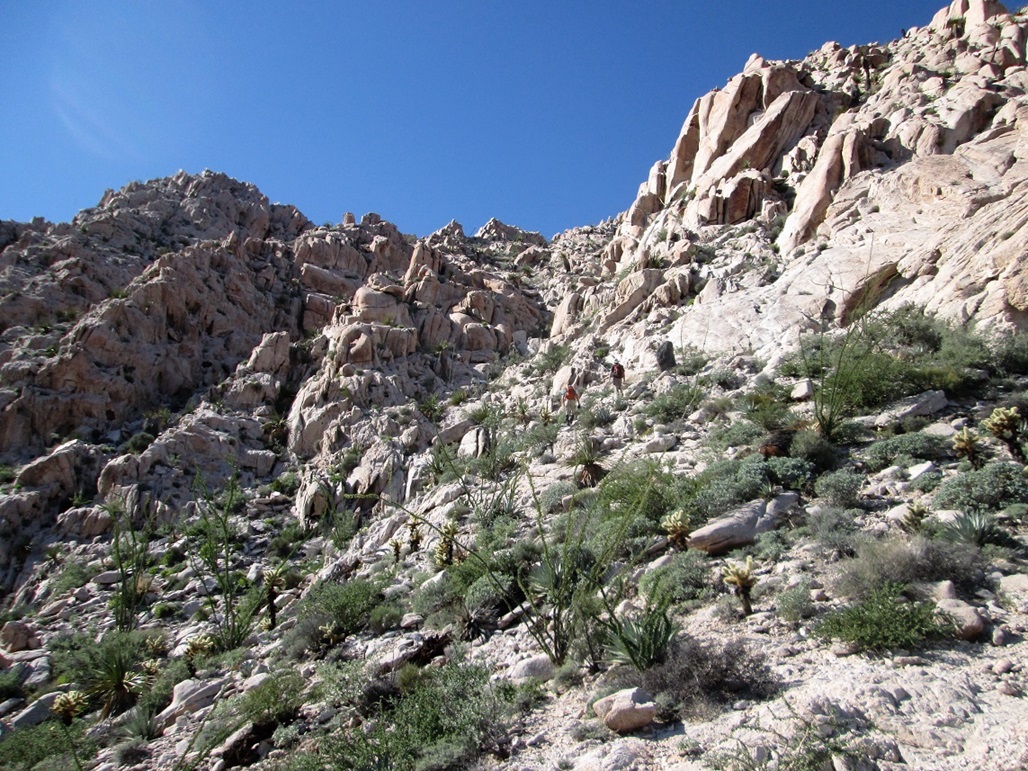
The summit mass. The highest point is to the left
It gets very steep for the final couple-hundred feet
Summit view, southwest, looking at the border fence. The U.S.A. is to the right, Mexico to the left

Me on top, happy I'm here, but itching to get down
We descended a different canyon, with this fine view of the summit
Continuing our descent
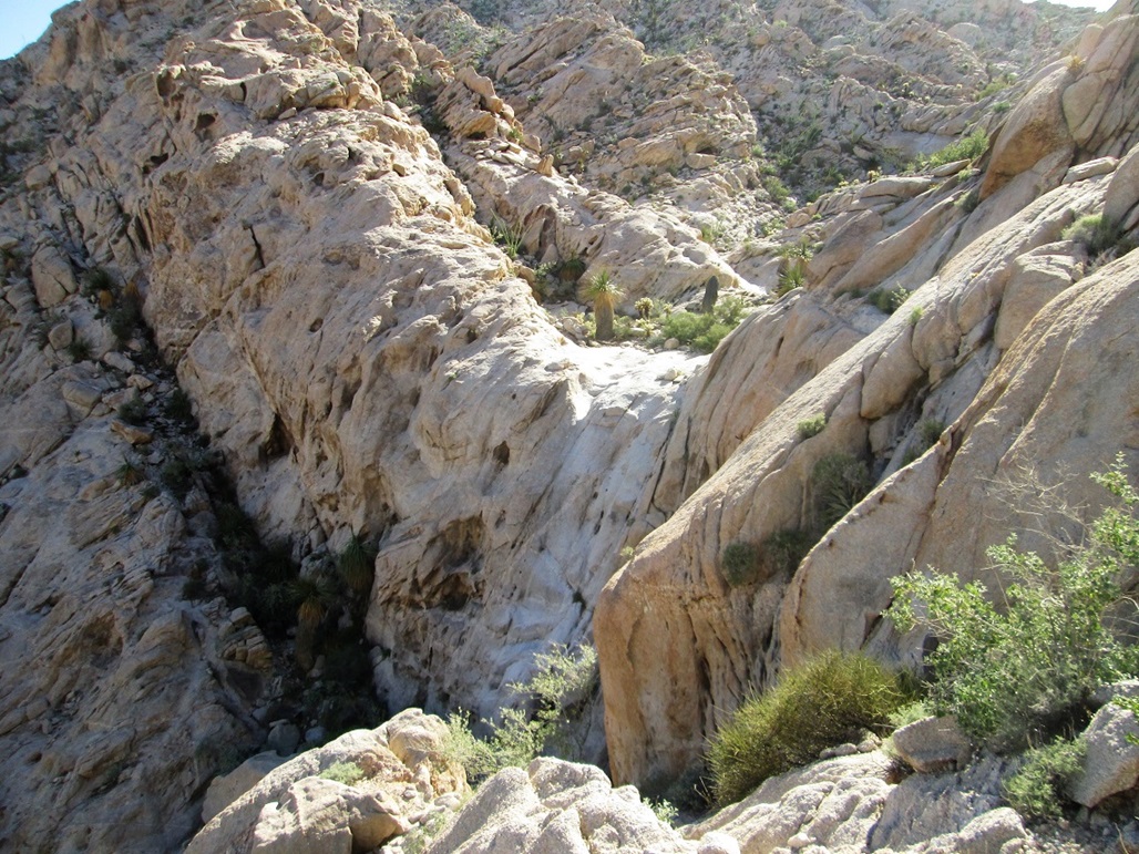
We had to get around this huge dry-fall
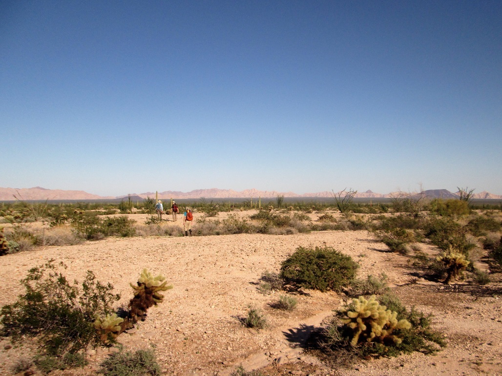
My favorite part of the hike: the trek across flat desert back to the cars
One last view of the mountains as we walk out
Arizona Page • Main Page • Trip Report
Mobile version (c) 2018 Scott Surgent. For entertainment purposes only. This report is not meant to replace maps, compass, gps and other common sense hiking/navigation items. Neither I nor the webhost can be held responsible for unfortunate situations that may arise based on these trip reports. Conditions (physical and legal) change over time! Some of these hikes are major mountaineering or backpacking endeavors that require skill, proper gear, proper fitness and general experience.