December 20, 2017

View of the Tortolita Mountains from where Edwin Road startes off of Highway AZ-79. The highpoint, Jeffords Peak, is the hill to the right, "marked" by the powerline pole

The highpoint hill, now much closer

Looking back at our ridge, Mike coming up quickly

The peak from below the last saddle

Picacho Peak from the summit

West view: Waterman Peak, then Silverbell, West Silverbell (in back) and Ragged Top

Northeast view of Black Mountain

Just glad to be here

Southwest view: Wasson and Safford Peaks in back and Baboquivari is barely visible way in back

Looking back down our descent ridge
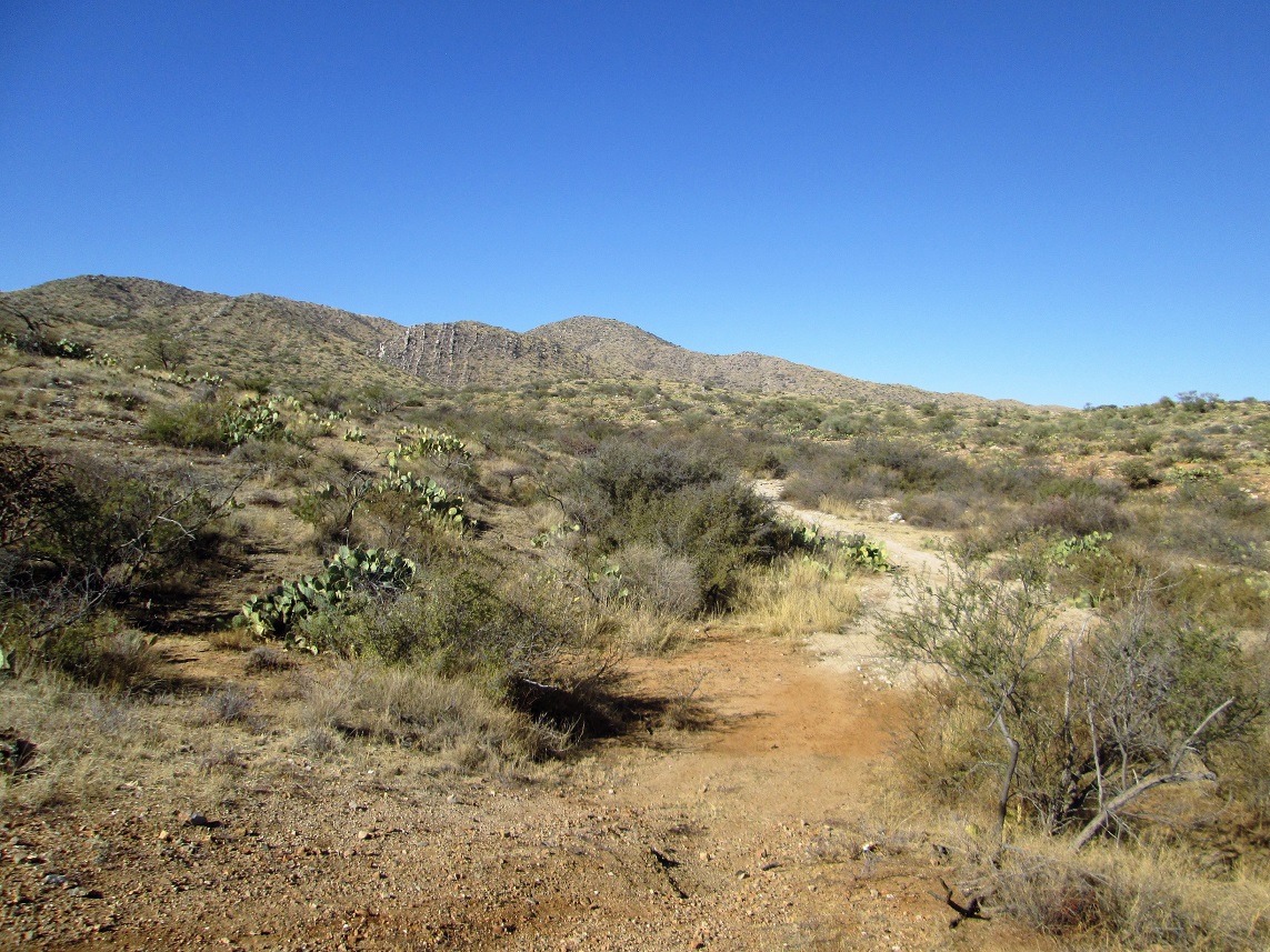
A final view before we leave

Montage: sign at the start of Edwin Road, then one at the very end at the mine. The mine itself, and a shot of the whole range at dawn
Arizona Page • Main Page • Trip Report
Mobile version (c) 2023 Scott Surgent. For entertainment purposes only. This report is not meant to replace maps, compass, gps and other common sense hiking/navigation items. Neither I nor the webhost can be held responsible for unfortunate situations that may arise based on these trip reports. Conditions (physical and legal) change over time! Some of these hikes are major mountaineering or backpacking endeavors that require skill, proper gear, proper fitness and general experience.