March 5, 2025
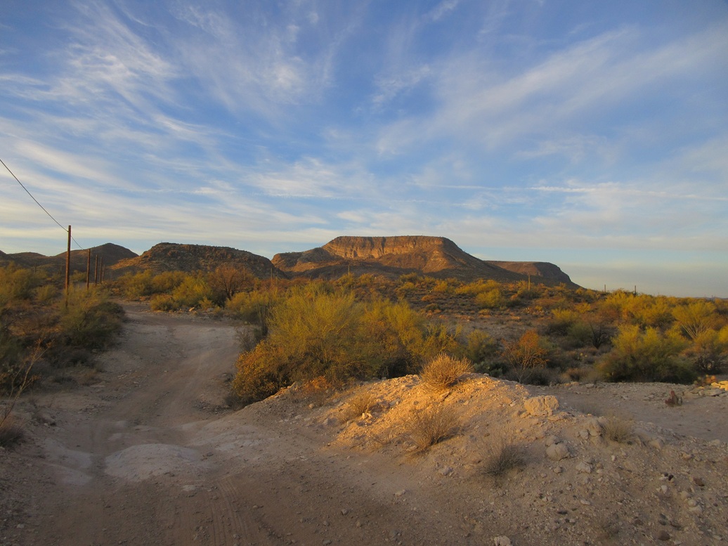
View of the range from where I parked. That is Wild Burro Mesa North, which I planned to climb also, but didn't
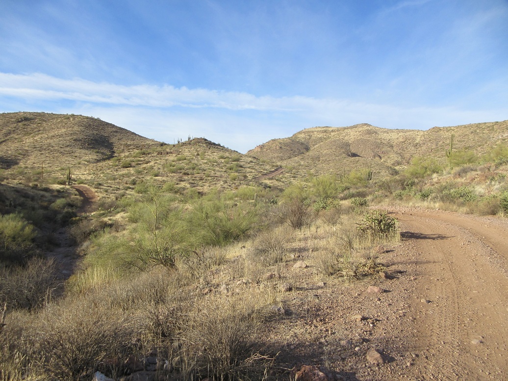
On the road in the inner canyon
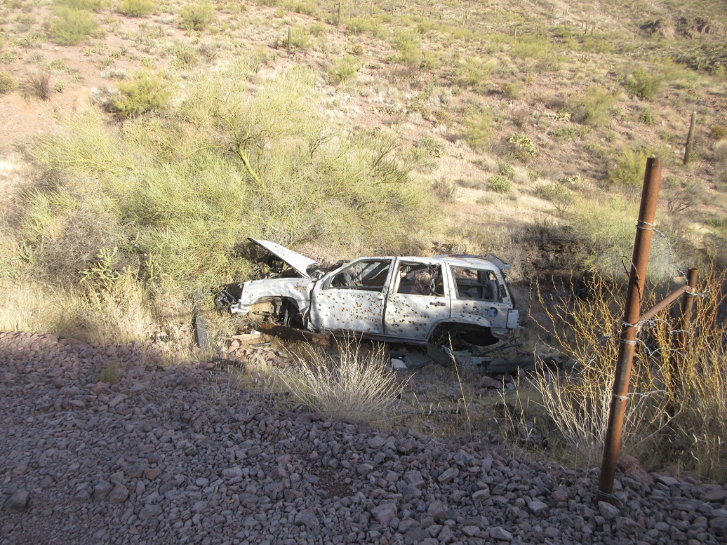
A car that never made it out
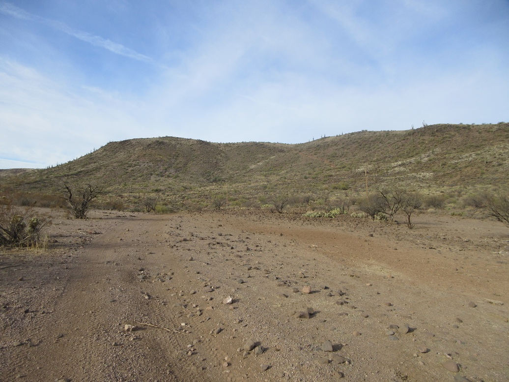
The east slopes of Wild Burro Mesa, and the track that leads onto it
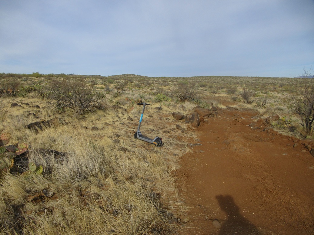
Of all things, a scooter was on top the mesa
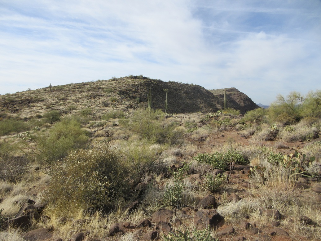
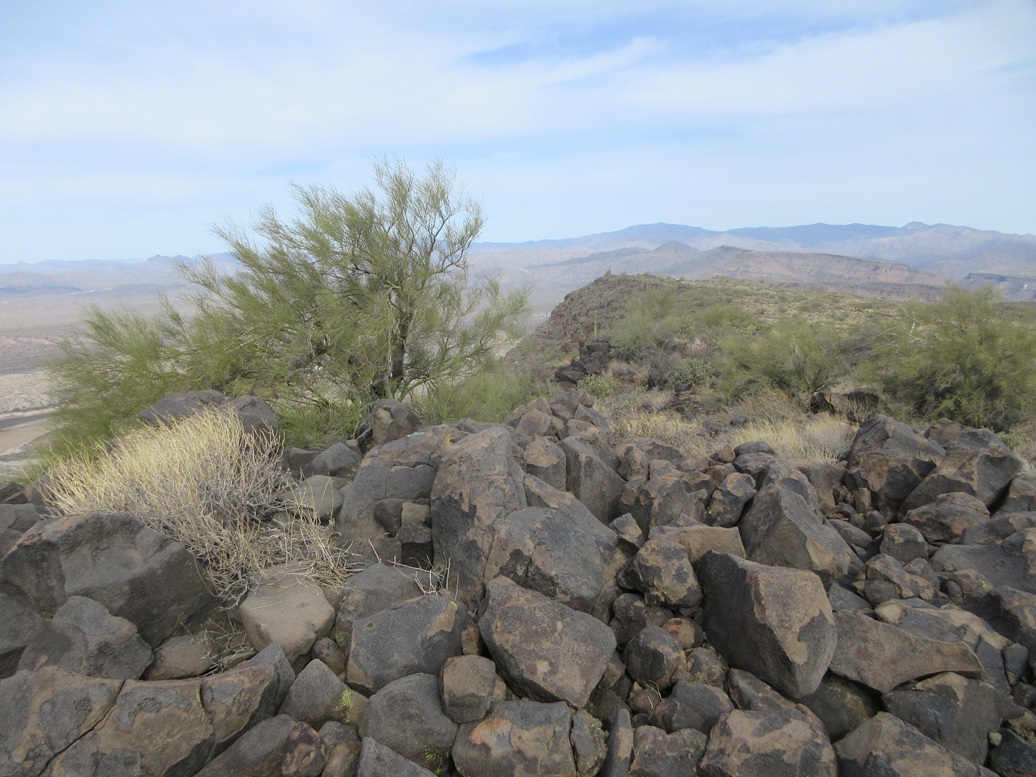
Two bumps along the west mesa rim

The summit is a very gentle rise. Sweat Peak and its southern peak are seen to the left
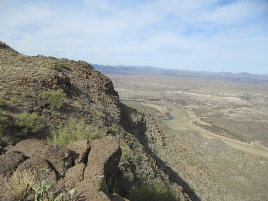
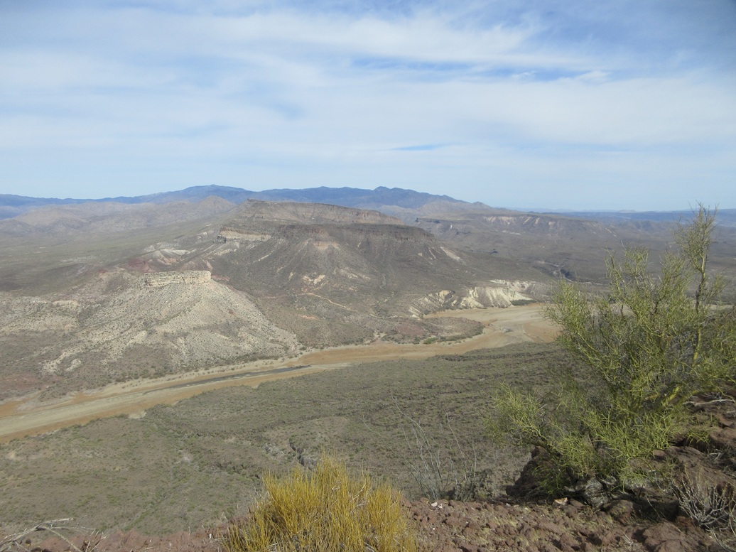
The Agua Fria River
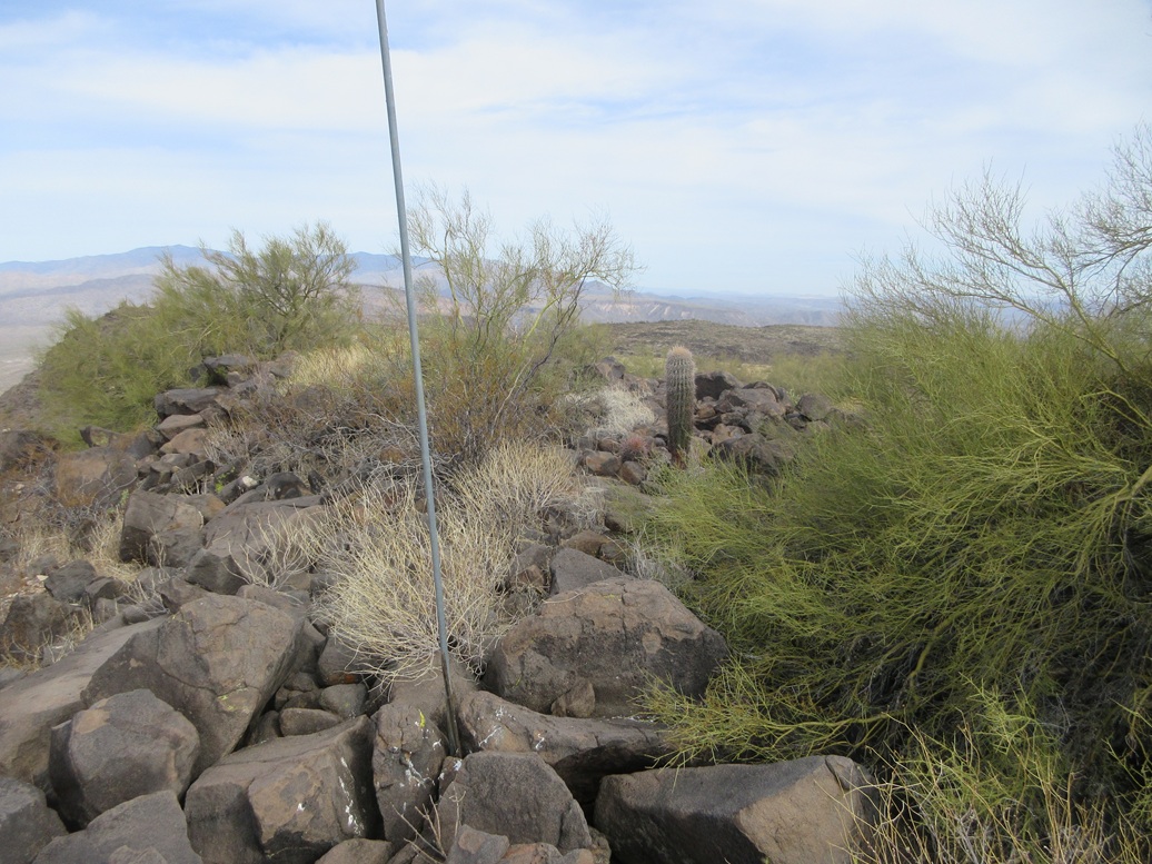
Summit pole and benchmark (look carefully)
The witness marker. The rock to the right was the highest point
Agua Fria looking north, and many unclimbed mesas in the southern Bradshaws
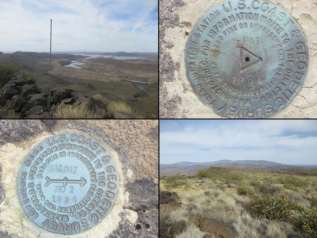
Another summit view, the benchmark and the witness mark, and the mesa top looking north
Arizona Page • Main Page • Trip Report
(c) 2025 Scott Surgent. For entertainment purposes only. This report is not meant to replace maps, compass, gps and other common sense hiking/navigation items. Neither I nor the webhost can be held responsible for unfortunate situations that may arise based on these trip reports. Conditions (physical and legal) change over time! Some of these hikes are major mountaineering or backpacking endeavors that require skill, proper gear, proper fitness and general experience.