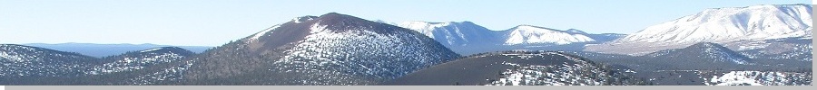
The Mountains of Arizona
• www.surgent.net
|
| Aubineau & Rees Peaks & Peak 11,783 |
• San Francisco Peaks • Kachina Peaks Wilderness • Coconino County |
|
Date: September 30, 2017
• Elevation: 11,838 feet (Aubineau), 11,474 feet (Rees), 11,783 feet (Peak 11783)
• Prominence: 198 feet (Aubineau), 194 feet (Rees), 40 feet (Peak 11783)
• Distance: 9 miles
• Time: 8 hours and 30 minutes
• Gain: 3,700 feet
• Conditions: Sunny, breezy, cold at first, nicer later
• Teammates: Scott Peavy & Matthias Stender
Arizona
•
Main
•
PB (Aubineau Peak)
•
Interactive map
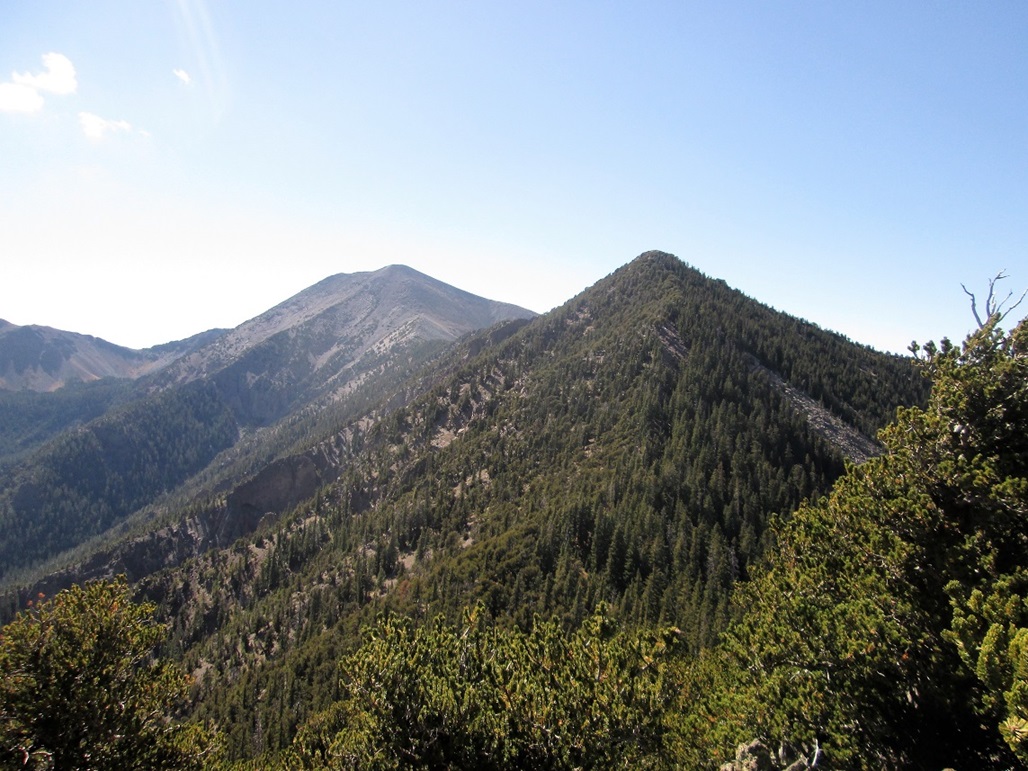
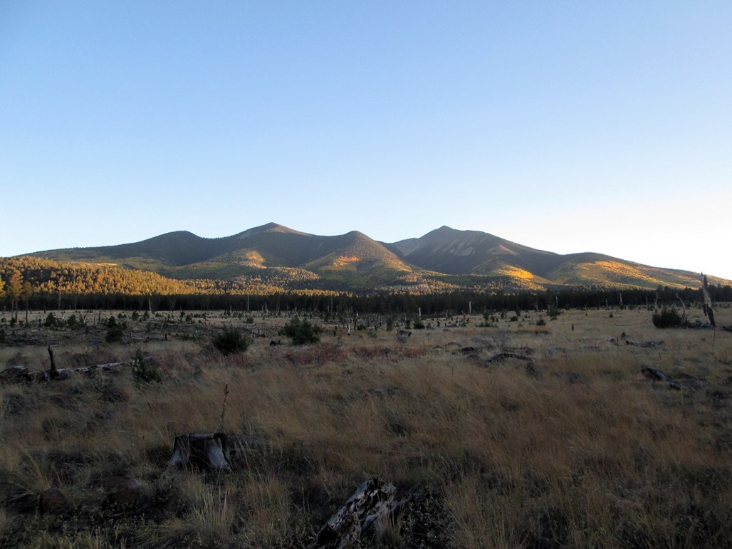
Aubineau and Rees Peaks are two ridgebumps on the northeast-trending ridge emanating off of Humphreys Peak. They don't have impressive prominence values, as neither have more than 200 feet of it. The topographical maps don't cite the names. Even the spellings vary: the topographical maps refer to Aubineau or Abineau Canyon and Rees or Reese Canyon, which come down off the mountain below their respective namesake summits.
I teamed with Mattias Stender and Scott Peavy, the first time in six months we got together for a hike. This would be my first significant hike all year, the first time this high since last year when Mattias and I hiked Doyle Peak. We met at the Denny's at Interstate-17 and the Carefree Highway at 5 a.m., then drove to the San Francisco Peaks to the Abineau-Bear Jaw trailhead, arriving there about 7:45 a.m.. There was a managed scrub-burn going on as we drove in, but access was not restricted.
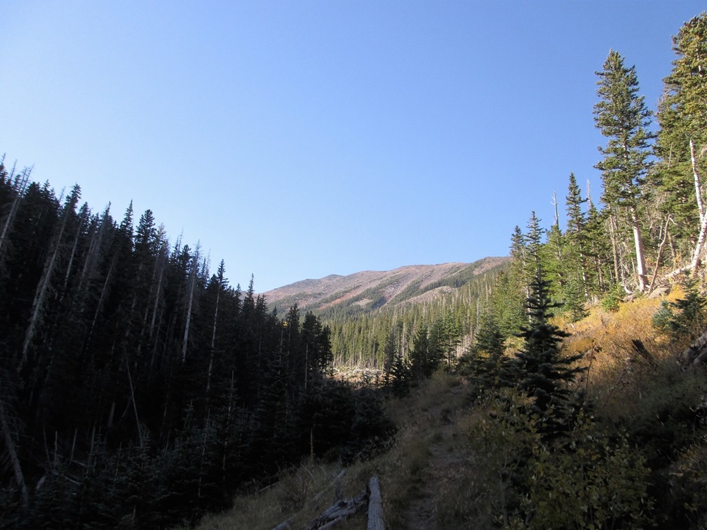
We started hiking a bit before 8 a.m., the weather cold and breezy with high clouds. We followed the trail to where the Abineau and Bear Jaw trails split. We went right and marched up the Abineau Trail. We made good time, covering about two miles and 1,900 feet of gain to where the Abineau Trail lets out onto the old Waterline Road. (Note: the common spelling of the Abineau Trail is without the "u" in the first syllable.)
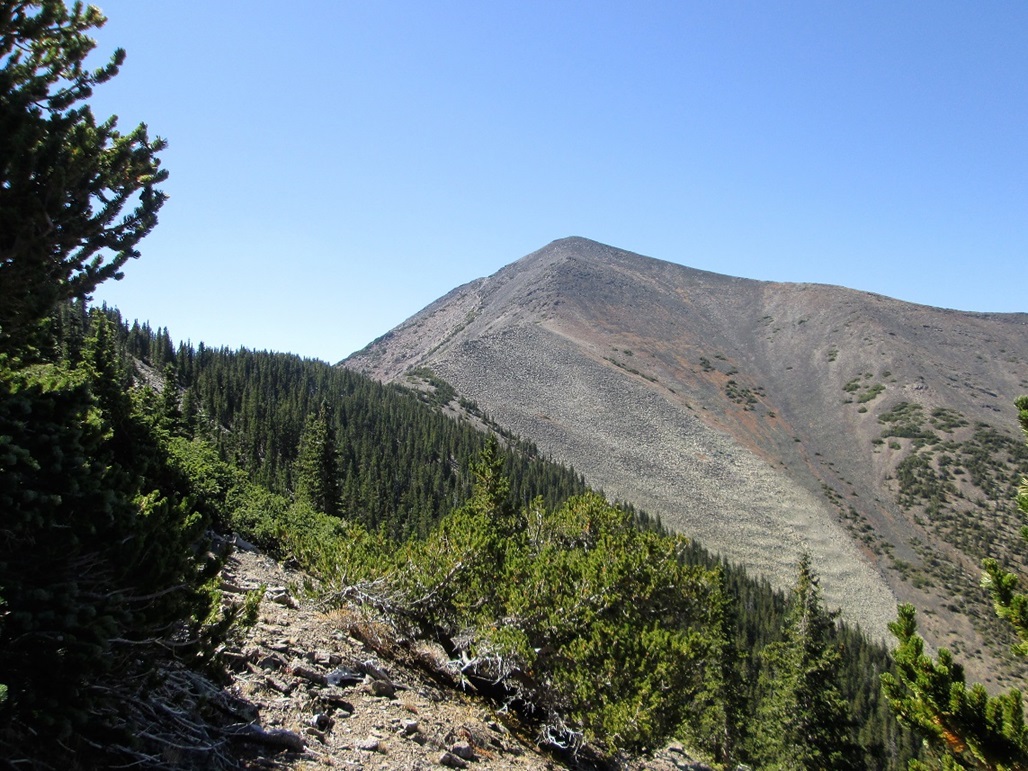
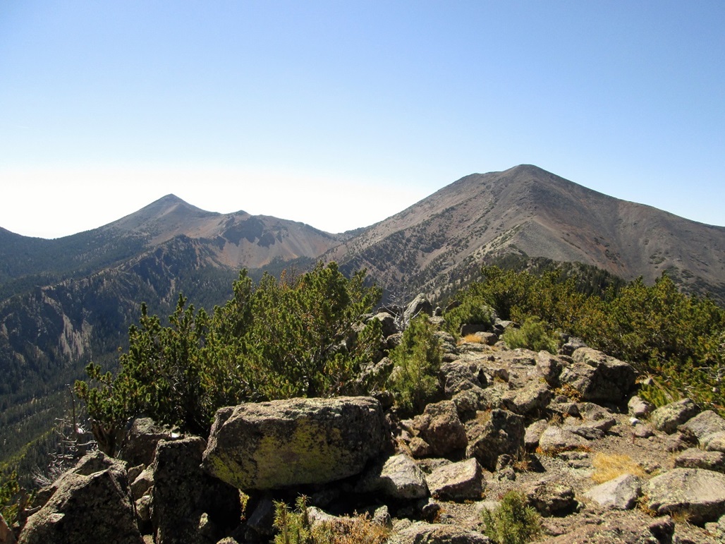
We continued uphill, following the road to its end, then following paths through the open terrain between stands of forest. Up above was the high ridge. To the right was a bump hiding Humphreys Peak itself. To the left was Abineau Peak, or possibly a lower ridge-bump. It was hard to tell. The clouds had scattered due to very strong and cold breezes. We were concerned that we may have extremely strong winds on the ridge. Humphreys Peak is famous for its strong winds.
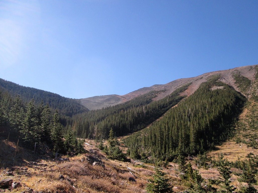
We angled into the forest and marched upward, the going not too bad for most of the way. We stayed too close to the forest-scree margin, and encountered loose scree slopes that made uphill progress very slow. This went on for about 200 vertical feet. We probably should have angled more left into the thicker part of the trees. In any case, we got above the nasty scree and onto firmer talus. We followed this all the way up to Peak 11,783, just west of Aubineau Peak.
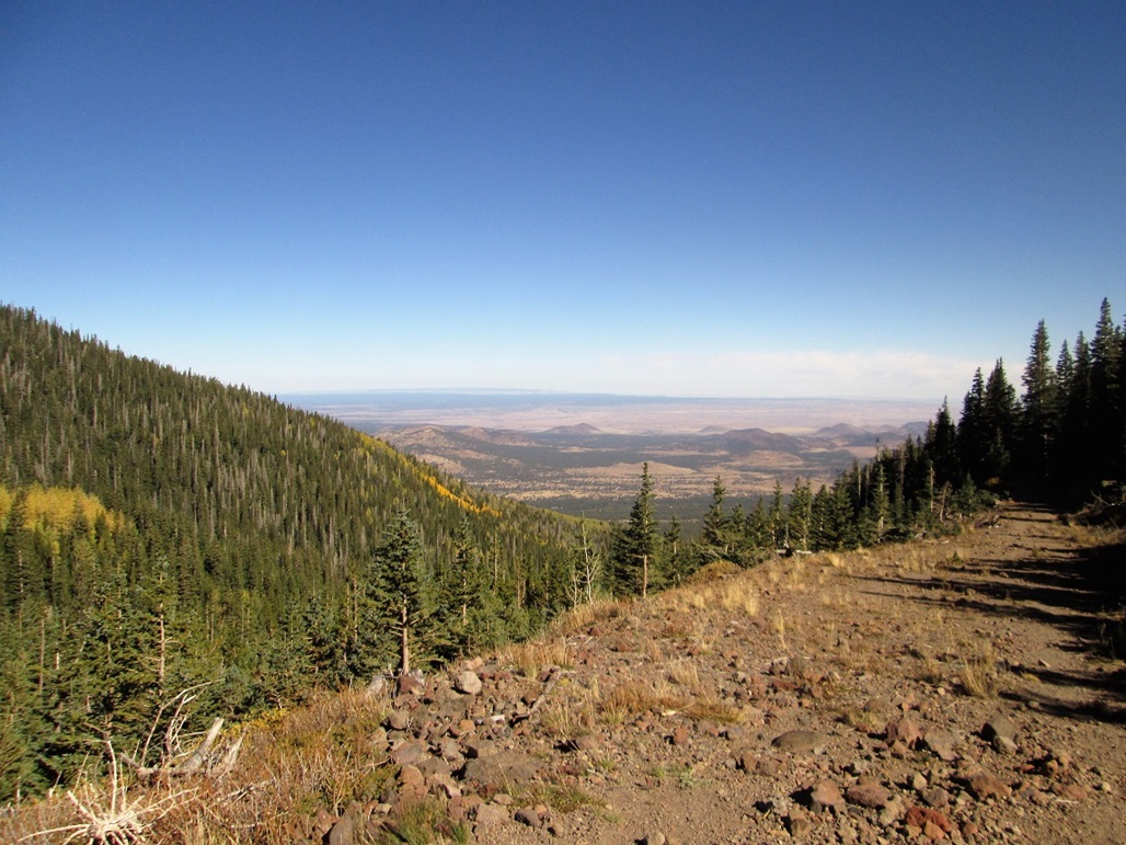
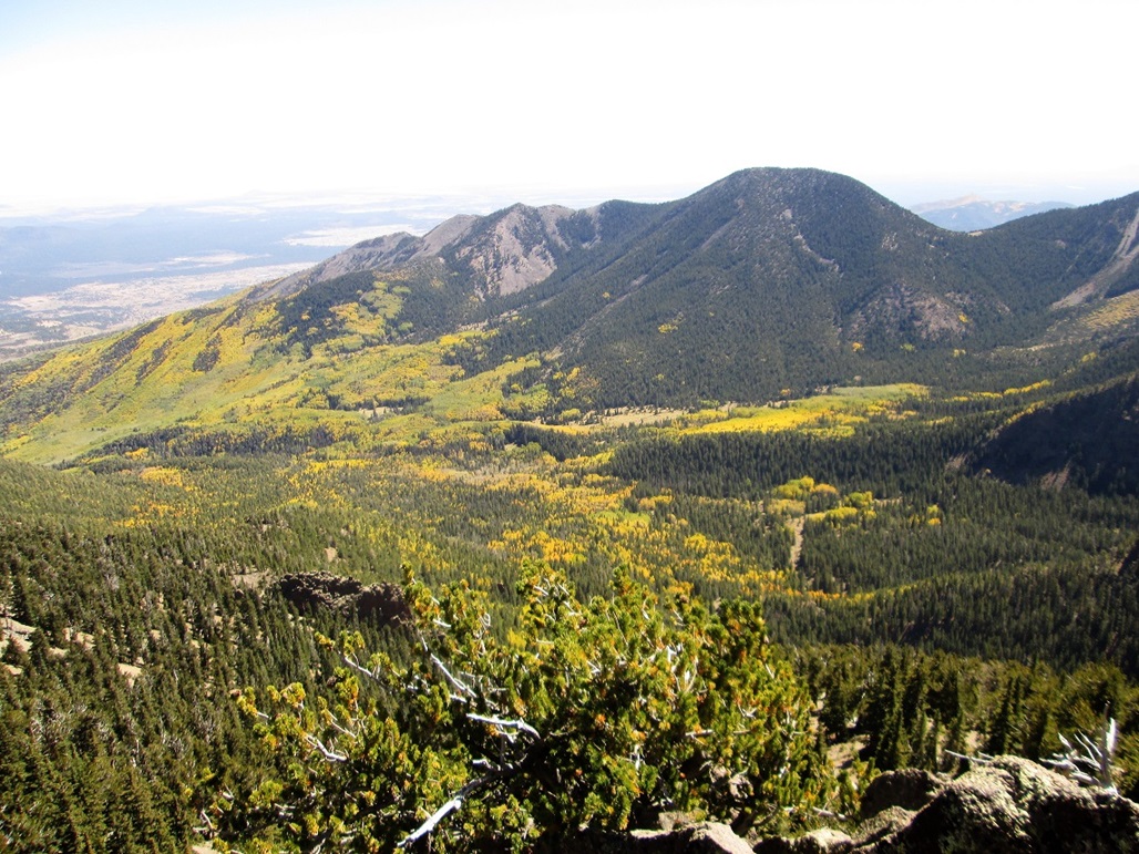
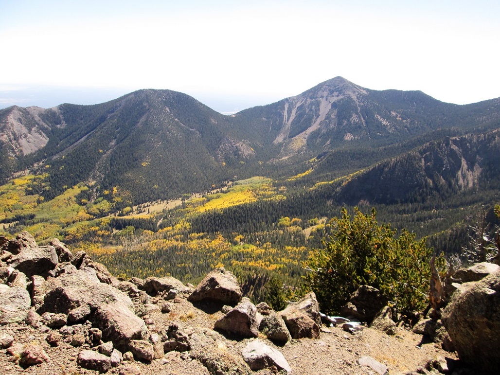
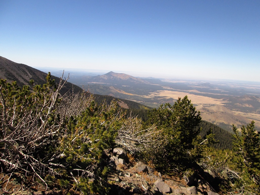
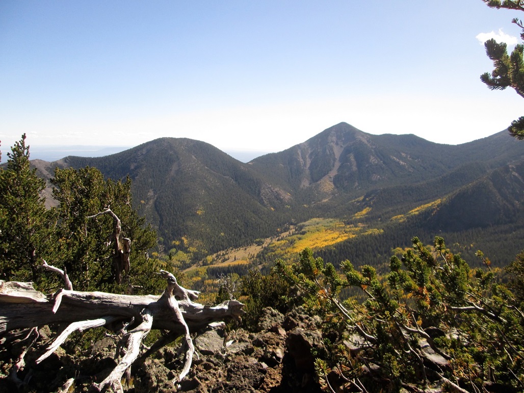
Since we were here, we took some time to locate the highest rocks. Humphreys Peak was just above us, another 900 feet. We could see people way up there on the summit. The winds had died down, but it was chilly up here, perhaps about 45 degrees. We looked down into the Inner Basin and admired the yellows and shades of green of the fall colors.
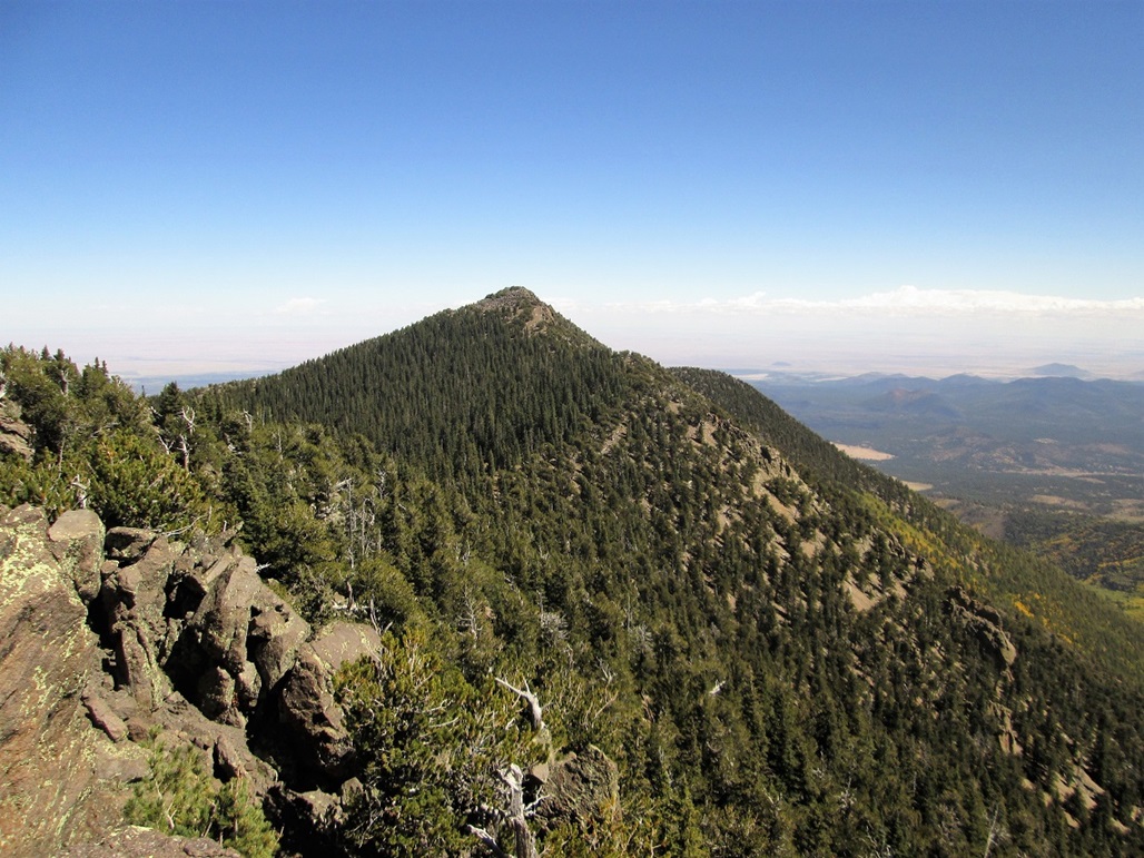
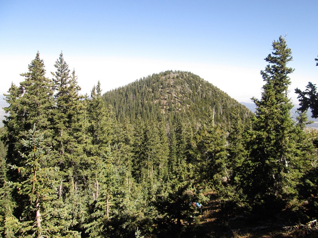
Once satisfied we had successfully tagged Mount Stender (Peak 11783), we descended about 160 feet to a saddle, then up about 200 feet to the top of Aubineau Peak. The going here was easy, with nice slopes and sturdy talus toward the very top. We arrived on top about 12:30 p.m., meaning we'd been at this for over four hours by now. We had also put in over 3,200 vertical feet of elevation gain just to tag an unranked ridgebump. But up close, Aubineau Peak is a worthy mountain.
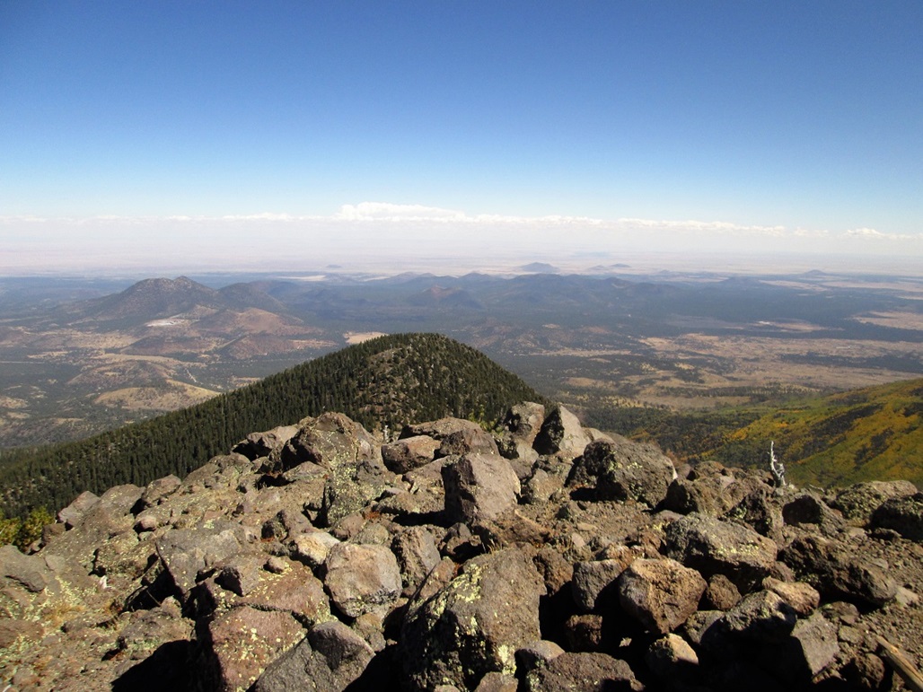
We didn't spend too much time up here. The wind was strong and cold. We signed into the log, noting about two or three groups per month come here, the booklet holding about 20 names since 2015. We had good views of Humphreys, Agassiz Peak, Doyle and Fremont Peaks, the Inner Basin, and looking the other way, Kendrick Peak, numerous cinder cone hills to the north, and the North Rim of the Grand Canyon way off in the distance. The steady cold wind prompted us to keep moving.
The descent off of Aubineau cost us just under 600 feet, and was a workout. We had to shimmy down small rock bands, then deal with very steep slopes and occasionally loose soil. But there was never anything too confusing. We were down to the saddle in about 20 minutes. From there, we slowly grunted up to Rees Peak's summit, even following a footpath part of the way.
The summit is possibly one of two or three bumps, which we tagged. The log book was in a cairn toward the west, near an ancient fallen tree that still held a boulder in its roots, suspended above the ground. That boulder is in there tight, the roots having grown around it back in the day. It's probably been like that for over a century. We signed into the book and took a longer break here, taking advantage of the trees to mitigate the wind. It was about 1:30 by now. I was dead tired, probably out of shape for not having done any big hikes this summer.
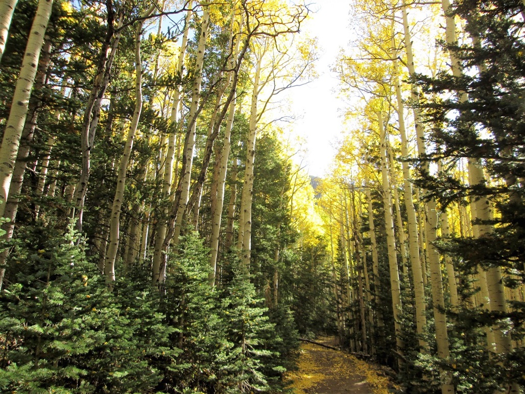
For the descent, we aimed north off of Rees Peak and started down through the trees. This worked well because we did not encounter any of that bad scree we'd seen elsewhere. We just had 1,600 feet to drop in under a mile, which meant a consistently-steep grade all the way down. The ground was a mat of leaves, twigs, pine needles and small rocks. In places, there was more deadfall and sometimes the aspens would grow to within feet of one another. In about an hour, we had dropped all the way down to the Waterline Road again. We took another break here. Aspens lined the road here, their crowns a brilliant gold with fall colors and the sun just in the right place.
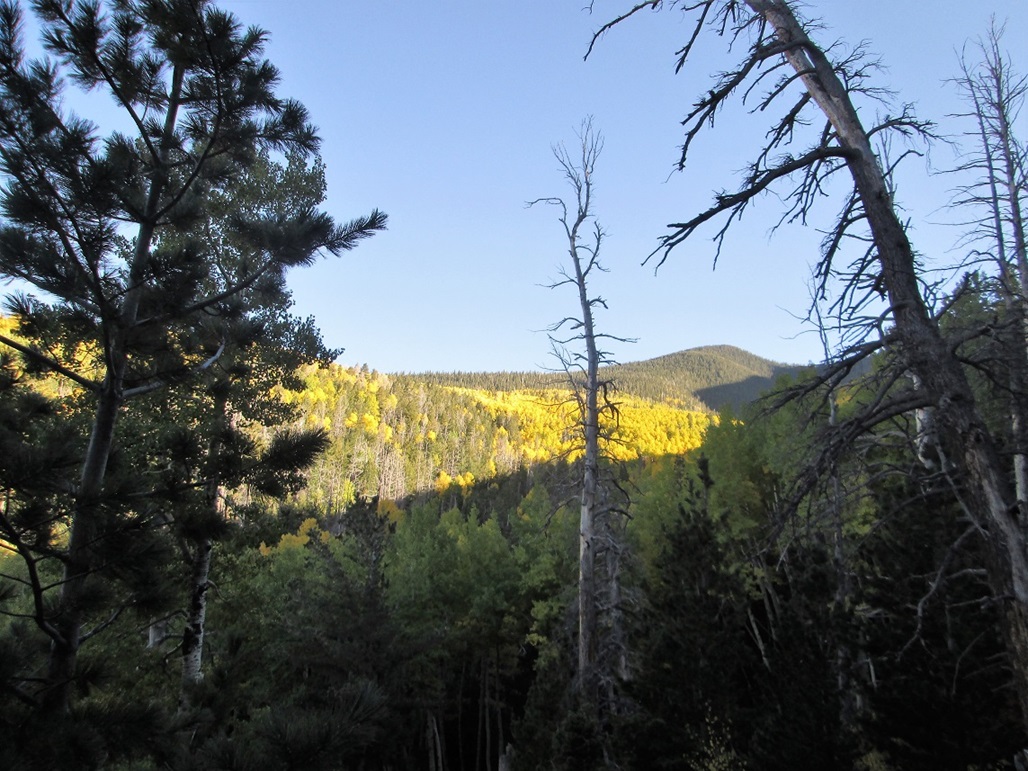
Once rested, we found the Bear Jaw Trail, then followed that all the way back to the cars. This segment covered about three miles and another 1,200 feet of elevation drop. But it wasn't as steep as before, so we made very good time, meeting other hikers for the first time all day. The fall colors were apparent here, too. Whole hillsides in shades of yellow and pale green. We were back to Scott's car at 5:30.
The hike had been a success and I was pleased to get some serious miles, gain and elevation into the books. As always, thanks to the guys for being good teammates on the hike. We changed and then drove into Flagstaff for snacks and gas, then back to Phoenix. At that Denny's, we said goodbye, and I drove back home, arriving about 9 at night. Hungry, I ate at another Denny's closer to home.
These two summits did not pose any advanced challenges, just requiring a lot of energy to get up 3,200 steep feet to the ridges, then a willingness to battle with scree and dense trees in spots. Now that I am an expert, I'd suggest to take the Bear Jaw up to the Waterline Road, then barge upslope from there to Rees Peak. It's steep but never "scree-y". Then it's a stiff grind up to Aubineau. I am not sure how good the slopes are below Aubineau (we tacked too far to the west on our ascent). One could always descend via Rees Peak again. This is also a good chance to hike on the north slopes of the San Francisco Peaks, something I had not done until today.
There is apparently wreckage from an old bomber crash in Bear Jaw Canyon from about 75 years ago. We didn't see any of this because we were more on the ridge than in the canyon. Still, it's something worth seeking. Years ago, I hiked to the bomber crash site on Humphreys' west slopes.
Some history behind the names of the peak, with spelling. (Source: Stephen Hirst in the Arizona Daily Sun, June 25, 2014)
Abineau Peak
Julius Aubineau (1852-1903) was mayor of Flagstaff from 1892 to 1898 during the rough-and-tumble fight to wrest town water rights from the railroad.
When he wasn t mayoring, Aubineau ran a gentleman s saloon.
Aubineau was born of French vintners, but nowadays we tend to drop the initial u and sometimes the e in his name from features named for him, thus Abineau or Abinau. Properly, it should be Aubineau. (My comment: I have most often seen it spelled "Abineau".)
Rees Peak
Tom Rees (1866-1936) arrived in Flagstaff in 1905 for his health and for a while worked as a sheepherder, summer-ranging stock at Rees Tank near the southwest foot of the Peaks. He acted as clerk to the county supervisors and the Superior Court. He served as a U.S. commissioner, a lodge leader and a church leader in the Federated Church.
|

|