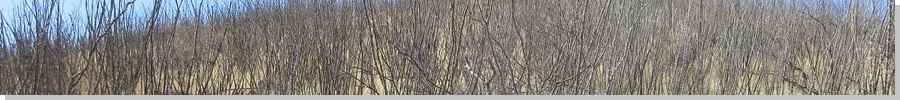
Ajax Hill rises in the southern half of the Tombstone Hills, south of the actual town of Tombstone. It is covered in grass, mesquite, acacia and ocotillo, which makes hiking here a chore. This would be my second attempt at the hill. In late 2023, I drove here intending to climb it, but stopped after getting caught up in the dense scrub after just a few minutes.
Today, I had no plans, but being a Sunday and appearing to be a pleasant sunny day, I wanted to get out and do something. I decided to come back and take a look at this hill again. I knew if I overthought it, I would probably think of something else to do. I did not want to drive very far either.
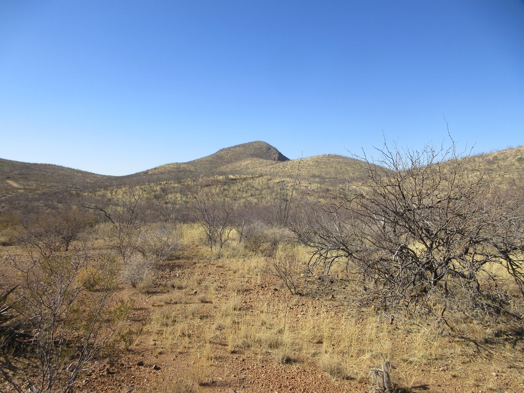
From Bisbee, I was in the Tombstone area within a half hour. I knew the roads to follow from my previous visits. I got onto an unsigned road south of town at the Animal Shelter sign, then took the second left, then a right onto Emerald Canyon Road, the only road signed here. I stayed on this road, staying right at two Y-junctions, and going uphill to where the road makes a hard U-turn below a derrick-like structure. I parked in the clearing here, Ajax Hill less than a mile to the south.
The land here is split between public (BLM) and private, where most of the hills are ostensibly on BLM land. There are a handful of homesteads sprinkled here, and one road that the map says is public is gated, locked and posted a little to the south of where I parked.
I crossed a fence by squeezing between two strands of loose wire, then started into the thorny brush. I dropped a few feet into a draw and through very heavy brush, coming to another fence. This one I was able to step over. I dropped again into another draw, then started up its opposite side.
The hiking was tiresome because every single rock seemed to be loose, not a solidly-set rock on the hill anywhere. It was all loose rubble, slipping and sliding every which way. I got onto the ridge above me, hoping the terrain would be less onerous. It was, but not by much.
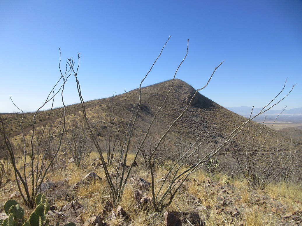
The peak was just two bumps away, and I made decent time given the conditions. There are numerous old tracks here, from the hills' mining history. They helped for the few yards I was on them.
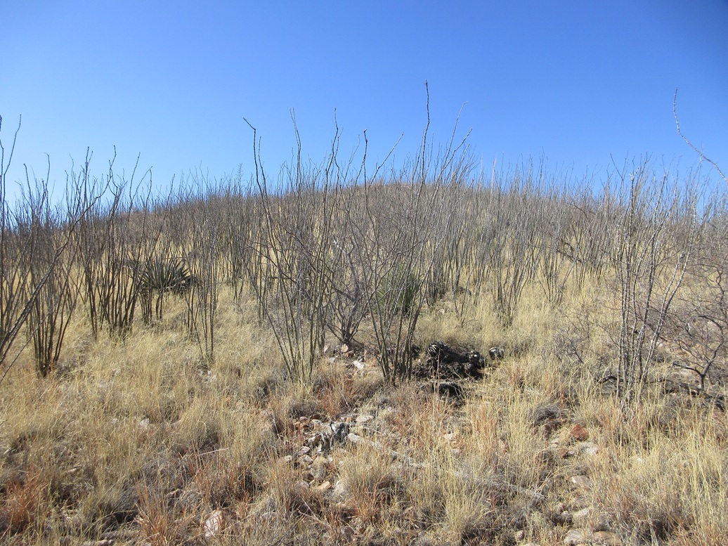
The final slope had some of the densest ocotillo I've ever seen. Their stalks fan out and form impenetrable tangles, and pushing through them is impossible. I had to wander to find lanes, or duck low to squeeze between them. Fortunately, this did not go for long because I was soon on top of the hill.
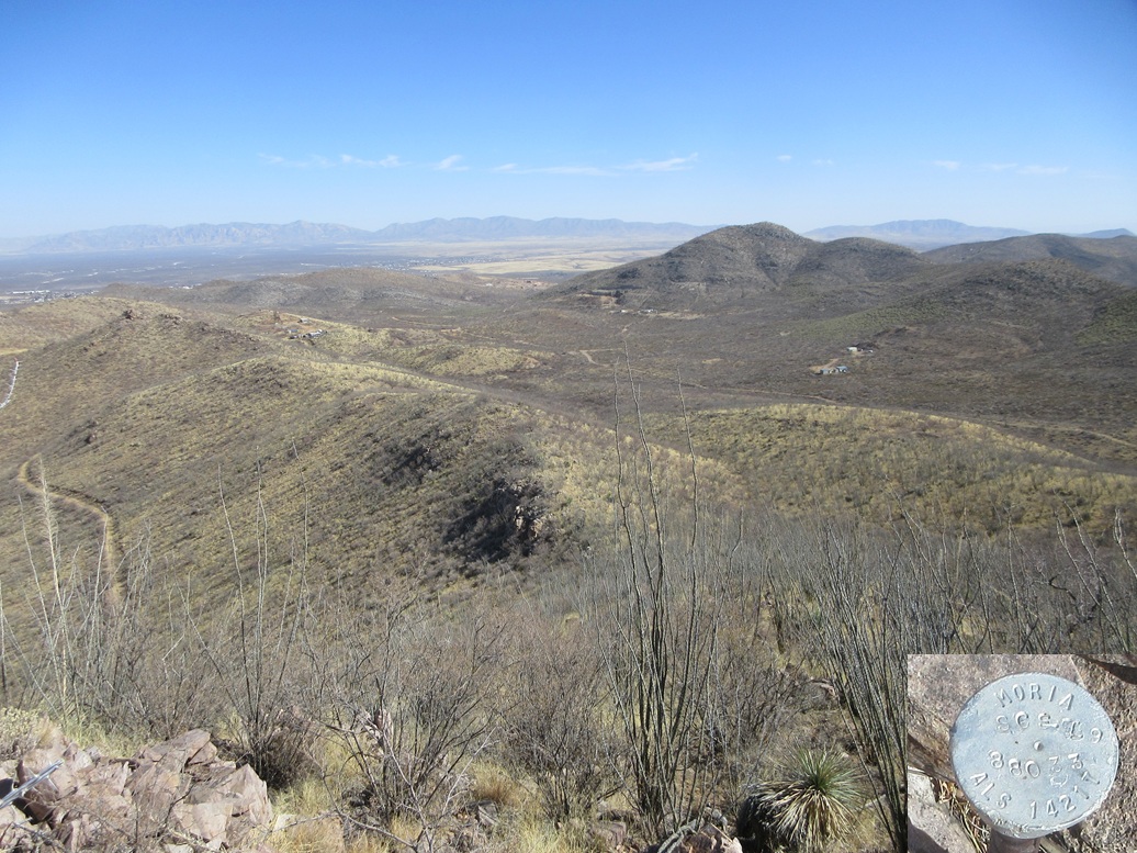
I was glad to be here. The top is bare with a cairn and a log. The last person was here a year ago, and I was the first to sign in for 2025. Nearby was a boundary marker of some sort. I took an image of it but am not sure how to decipher it.
I did not stay long. I descended the same way, following lanes that seemed to angle more to the east than north. I just went with it. I dropped to a lower track, which I followed out to a road. This put me on the wrong side of the gated and posted fenceline I mentioned earlier, but only for a few yards. I was soon past that, one whole section of fence completely gone beside the gate.
The round trip hike went fast, taking about 45 minutes. I was happy to be successful, but won't be coming back for seconds. I like the area, but the terrain and scrub can be brutal in places.
The day was still young. I drove into town and stopped for snacks. I then got onto eastbound Davis Road, a connector road between highways AZ-80 and US-191. I wanted to scout some roads this way, and see what kind of access policies were in place for future visits.
Davis Road passes through McNeal and actually connects to Leslie Canyon Road, which I did not realize until just moments ago looking at the map. Suddenly, I had a second hike in mind, following a ridge to Leslie Benchmark and Peak 5508.