|
|
|
Date: November 30, 2019
• Elevation: 2,188 feet
• Prominence: 768 feet
• Distance: 6 miles
• Time: 3 hours
• Gain: 730 feet
• Conditions: Sunny with a few clouds and very cool
Arizona
•
Main
•
PB
•
LoJ
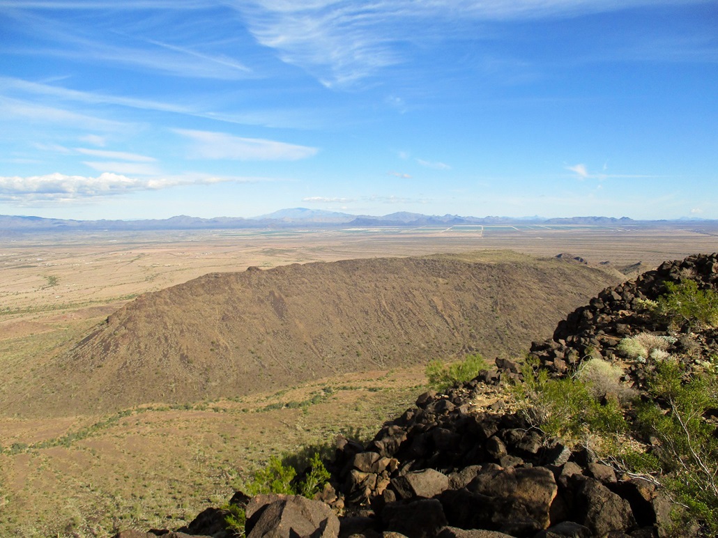
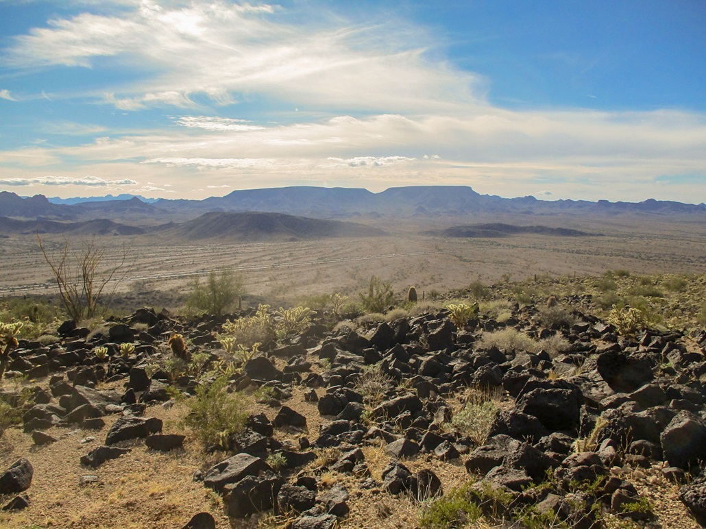
The Bear Hills are a small band of volcanic mounds in La Paz County, near where US-60 and Interstate-10 merge, in the community of Brenda. The highest point is on the main massif, which lies south of US-60 and north of the interstate.
I planned a short getaway to hike two peaks out this way, staying the night in Quartzsite. Neither were difficult or long hikes, and both were ones I'd wanted to do for some time now, but just never got around to them. We had a big rain storm on Friday, but Saturday and Sunday were expected to be sunny and mostly clear, with highs in the 50s.
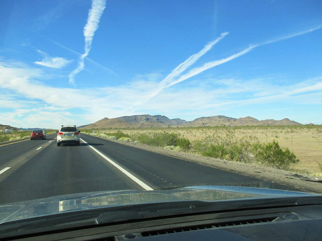
I left home at 10:30, and two hours later, located myself onto US-60, just off of the interstate. I had some ideas on where to park and how to get close to the hills. I chose to try from the west side, wanting to take advantage of the longer and smoother slopes of the hills (the east side being steeper with some cliffs). On US-60, I drove toward Brenda, but exited onto Ramsay Mine Road, still about three miles from the hills.
Ramsay Mine Road is dirt for a mile, then paved for the part where it crosses over the Interstate. Just before the bridge, I exited onto a track that paralleled the interstate. Given the recent rain, I was pretty sure I could get as far as Ramsay Mine Road, but had no assurances how muddy or rocky the track would be. This track runs along a gas line, so must be kept up to some minimum standard. I was prepared to hike from Ramsay Mine Road if I had to.
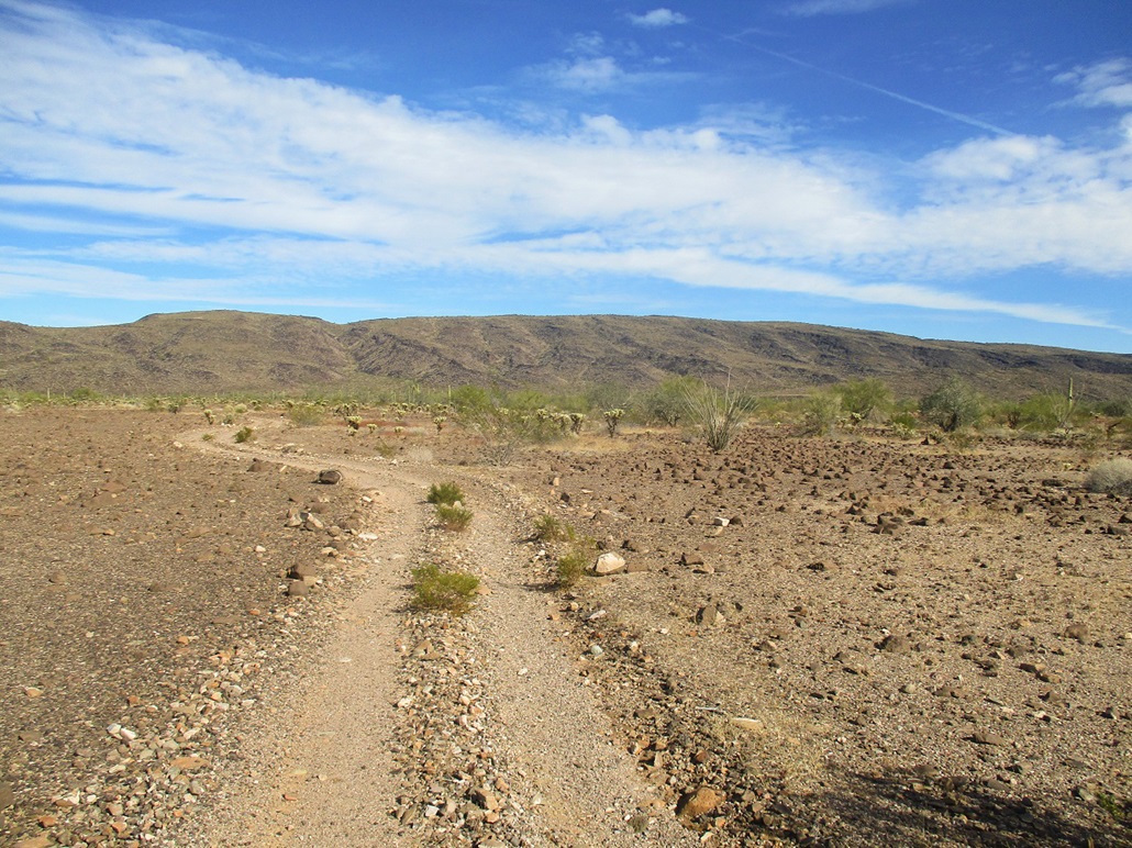
The track was better than I expected. It was rocky and uneven, but nothing difficult. I did encounter a couple shallow pools of water, most easily crossed. One big one, though, looked really muddy too, so I was able to bypass it by taking another track parallel to it. I drove in a mile total, until I came to a fifty-foot stretch of big rocks and heavy erosion. Most 4-wheel drive vehicles with good clearance could have got by, but I did not want to chance it. I was happy to have lopped off a mile of hiking each way, so I parked near a palo verde and killed the engine.
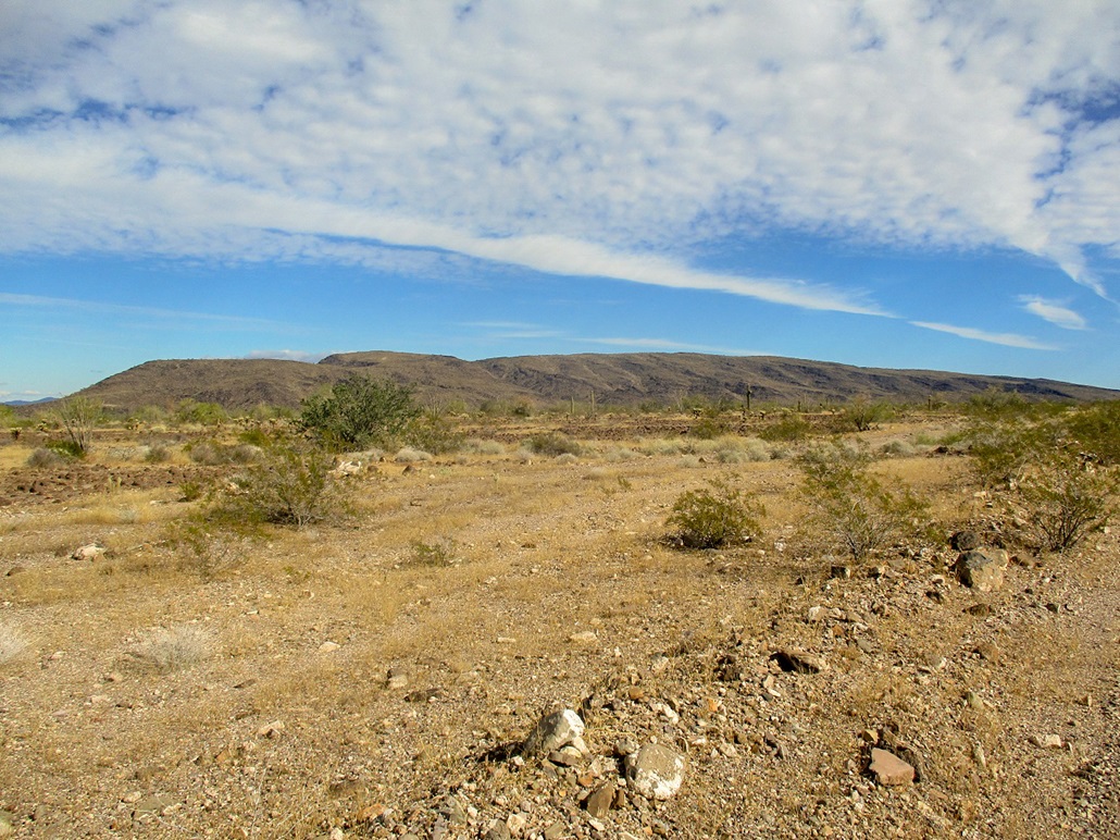
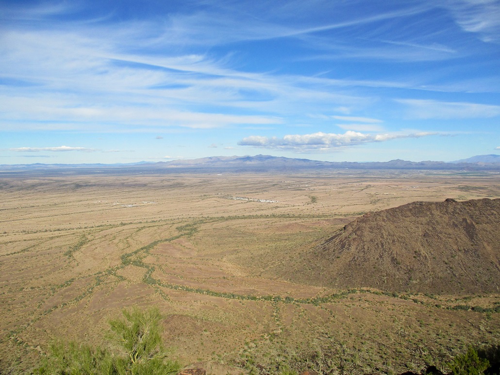
I got suited up and started walking at 12:45 p.m., the day still quite cool, temperatures in the low 50s. I walked the track eastbound, about a hundred feet north of the interstate as cars and trucks whizzed by. It was not a peaceful or quiet walk at all. But it was an easy walk, covering about two miles to the base of the hills. I walked the track for about a mile, then angled cross-country for another mile, aiming generally for the middle of the long hill.
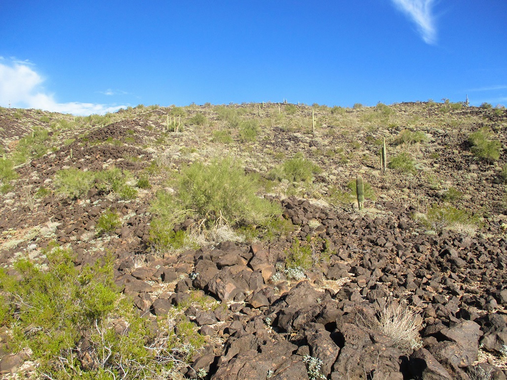
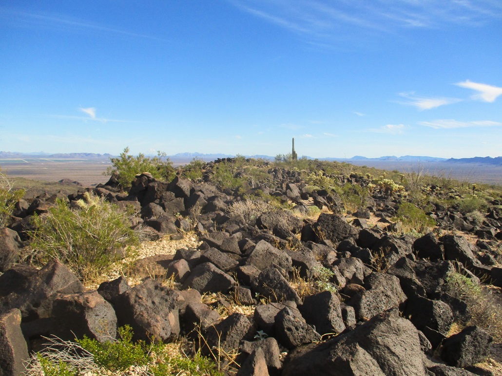
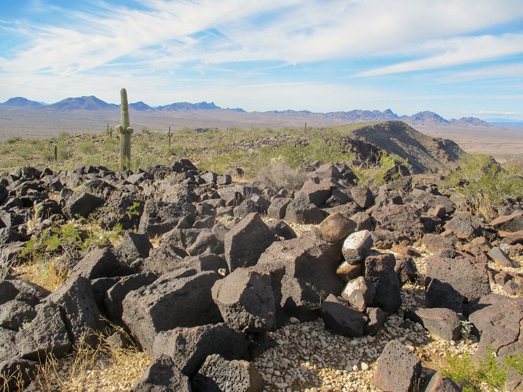
In degrees, the nature of the ground changed, from desert hardpack and gravel, to darker volcanic rock, in places covering the ground like a natural asphalt. I just followed the lay of the land and whatever lanes opened up through the brush and cactus until I was at the base of the hills. I did not debate which ridge to follow. I just picked one that looked friendly, and started uphill.
The going was steep at first but easy. The volcanic rocks were solid nearly every step of the way. After gaining about 75 feet, the ridge laid back and the remaining hike was up lenient slopes of black volcanic boulders. There were stands of ocotillo, "gardens" of cholla, and other smaller cactus, plus a few saguaro. It was easy to maneuver around the brush, and at no time did the rocks ever pile up to require hands to clamber up.
I was on the top fairly quick. Once I had reached the ridge, it was an easy matter to wander to the highest point. I found an old summit log hidden in the cairn, dating to 1996 and just a handful of signatures. This hill may not see that many people, although it is not a difficult hike. I spent about ten minutes up top, admiring the views.
For the hike down, I just picked a line and started down, making adjustments as I descended. I had no troubles at all and was back to the lower rocks soon, then out onto the desert plains soon thereafter. I was back to my car at 3 p.m., a three-hour hike.
I had a hotel room waiting for me in Quartzsite, so I drove there, about 15 miles, and had a restful night at the locally-owned Stagecoach Hotel, which I thought was a better option than the only chain, the Super 8. I was on the main drag, not immediately by the freeway. The next day, I hiked Airway Beacon Peak, south of Quartzsite.
|