The Mountains of Arizona
• www.surgent.net
|
|
Mount Bigelow • Kellogg Mountain • Rose Peak Mount Bigelow is a summit in the Santa Catalina Mountains north of Tucson. It has easy road access since it hosts a bunch of towers. I tagged the top back in 2010, but I drove up that time, walking about 50 feet. I wanted to come back and hike a few peaks in the range, all easy ones with trails, just an excuse to get out of town for a day and have fun. This would be my first time back in the Catalinas since 2010.
Date: November 3, 2018
• Elevation: 8,520 feet
• Prominence: 760 feet
• Distance: 1.4 miles
• Time: 1 hour
• Gain: 580 feet total
• Conditions: Perfect fall weather
Arizona
•
Main
•
PB
•
LoJ
We left home at 6:30, and arrived into Tucson about two hours later. We then took the usual route, Grant Road to Tanque Verde Road to the Catalina Highway junction, about 10 miles east of Interstate-10. So far, no problems. We drive up about three miles then come to a halt. There is a road race going on, and half the road is coned off for the runners. We and about twenty other vehicles were just sitting there. An electronic sign up ahead said the race would end at 1 p.m.. It was now about 9 a.m..
I got out and walked up to a woman in a sheriff's blazer. She was a volunteer, just directing traffic. I mentioned that there had been no indication of any road restrictions on any of the roads leading to the Catalina Highway, nor had there been any mention on the usual websites. Knowing how fickle the road can be, I made sure I checked for any closures or restrictions the day before we left. There was nothing.
The lady was kind but only so helpful. She said we may be sitting here for 15 minutes or until 1 p.m., she was not sure. However, another young woman picking up and laying down the cones said that her people up high were already packing up all the cones up on the mountain, suggesting they would be opening up the upper road soon. This was good to know, but our problem was we were still stuck down below.
We ended up sitting still for about twenty minutes. A pilot car (sheriff's vehicle) then started to move us upwards. We were about the tenth car in line. The car behind us down low was a couple who'd had a fit when the road was closed, and they never got moving. I am not sure why. But all the cars behind them stayed put until the next rotation, maybe an hour later. I am sure that couple was real popular right about then.
We drove up into the range, going slowly, about 20 miles per hour. There were runners going downhill the whole way. Later, I would find out this was a marathon put on by Revel, who apparently put on a lot of these big downhill marathons throughout the country. We had no beefs with the runners. They were doing what they enjoyed. We just had a beef with the city and county for not alerting the rest of us in a meaningful way. As things turned out, we were just delayed for an hour when all stops and slow-downs were accounted for.
The drive is spectacular, with gorgeous scenery the whole way up. We did not mind the slow drive at all. Twenty miles later, we pulled into the Palisades Ranger Station, elevation just under 8,000 feet. The sky was bright blue and calm, temperatures about 55 degrees. I spoke with the ladies in the ranger station about the road race among other things. Turns out we did not need to pay the $5 access fee for just parking at the trailheads.
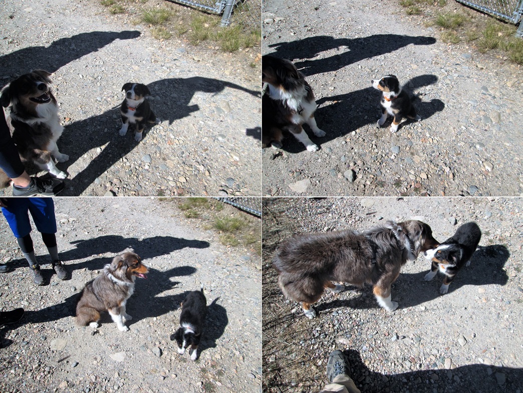
The trailhead for Mount Bigelow was just a few hundred feet back down the road, and we were the first to roll in. Ironically, the marathon may have inhibited visitation today. Most Tucsonians probably knew about it and stayed away. I was expecting a few cars up here, but it was just us. I got my boots on and set her up (with five Starbucks hot lattes, among other treats). Just then, another car rolls in, and a group of younger people get out with two adorable dogs, one a 9-week old puppy. The bigger one barked at me but both were friendly. I started my hike about 10 a.m. on the nose.
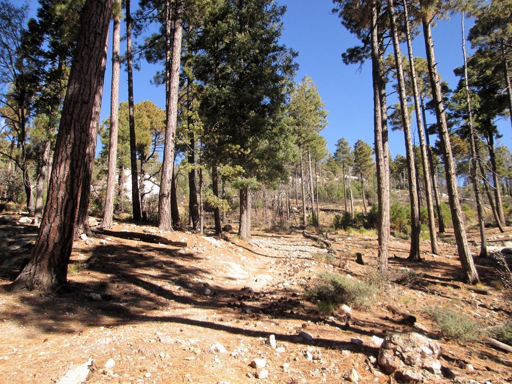
The hike is fast and easy. I went up the Bigelow Trail to a saddle between Mount Bigelow and Kellogg Mountain, then up the Butterfly Trail to the top, the one-way hike taking about a half-hour, covering about 0.7 mile. I was going slow due to not being acclimated to the higher elevation.
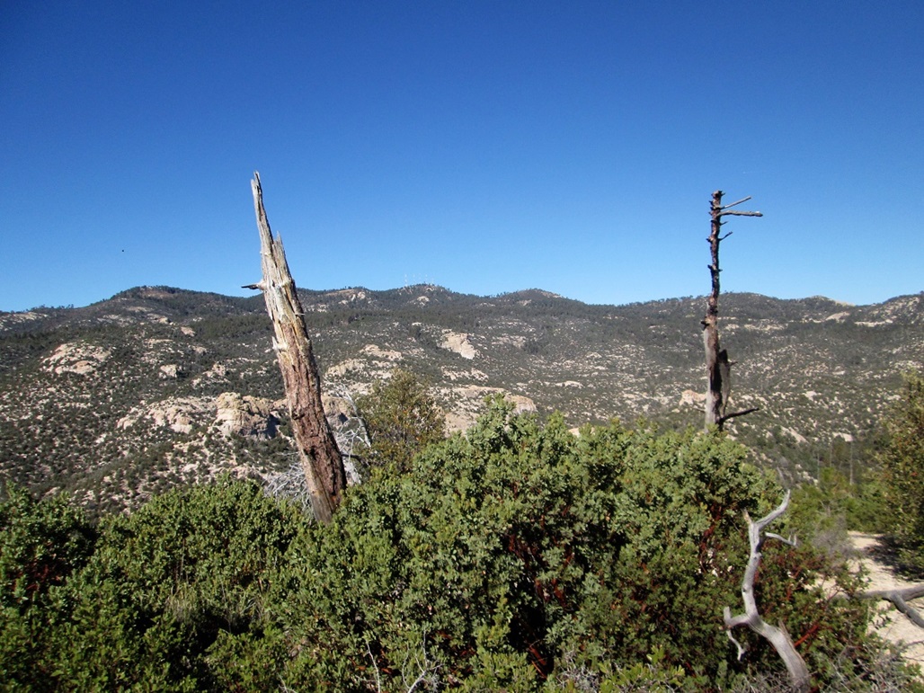
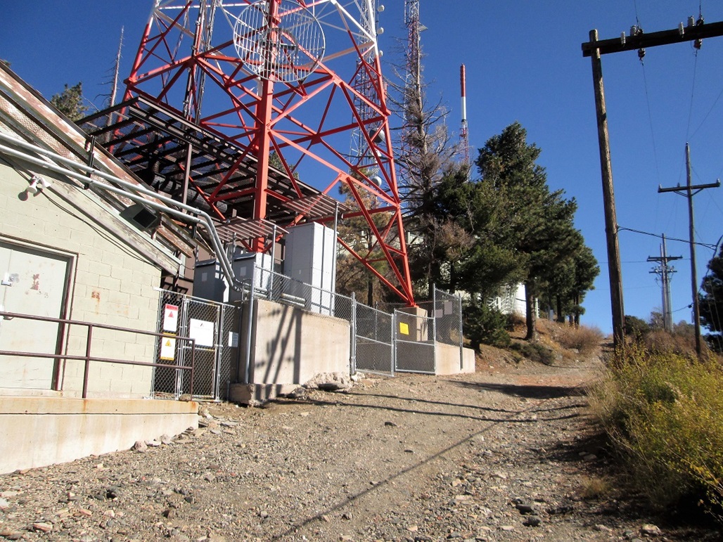
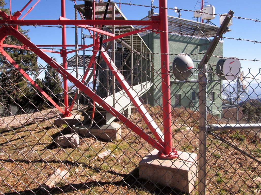
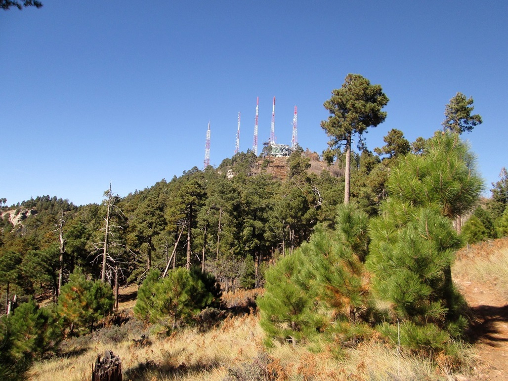
The top is covered in towers and fencing. The highest point seems to be within the fencing of the eastern-most building, but a small strip of open land about 5 feet wide between two sets of fencing allowed me to get "on top", maybe a half-foot below the land inside the fencing. This was good enough; there was no way to cross the fence (surrounded by razor wire). I snapped a couple photos, then walked back to the upper road. The people with the dogs had arrived by now, so I spent a couple more minutes getting photos and being charmed by the two dogs.
Elevation: 8,401 feet
• Prominence: 160 feet
• Distance: 0.4 mile
• Time: 20 minutes
• Gain: 140 feet total
• Conditions: No change
I descended back to the saddle, now wanting to tag Kellogg Mountain's top. Back at the saddle, the top is just about 140 feet higher. I first followed the better-looking trail east but it went downhill, and there was no way to go cross-country through the thick tangle of mountain oak.
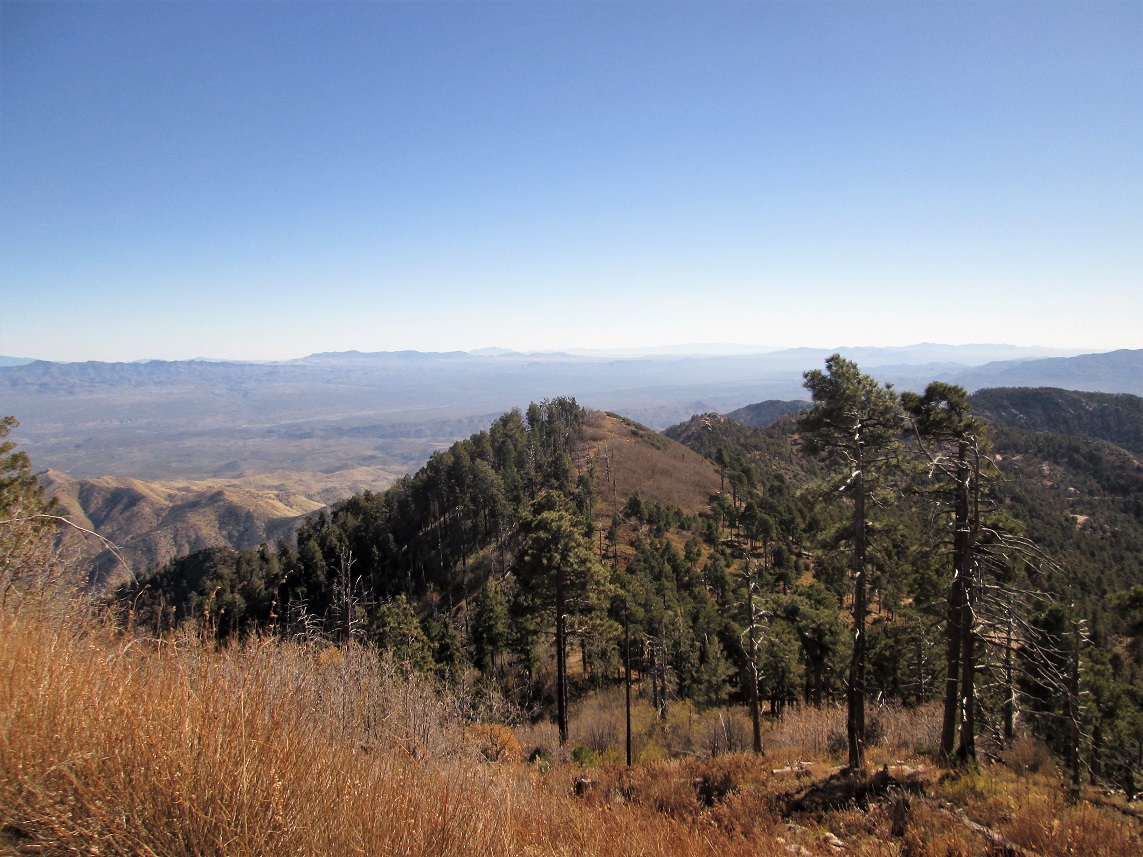
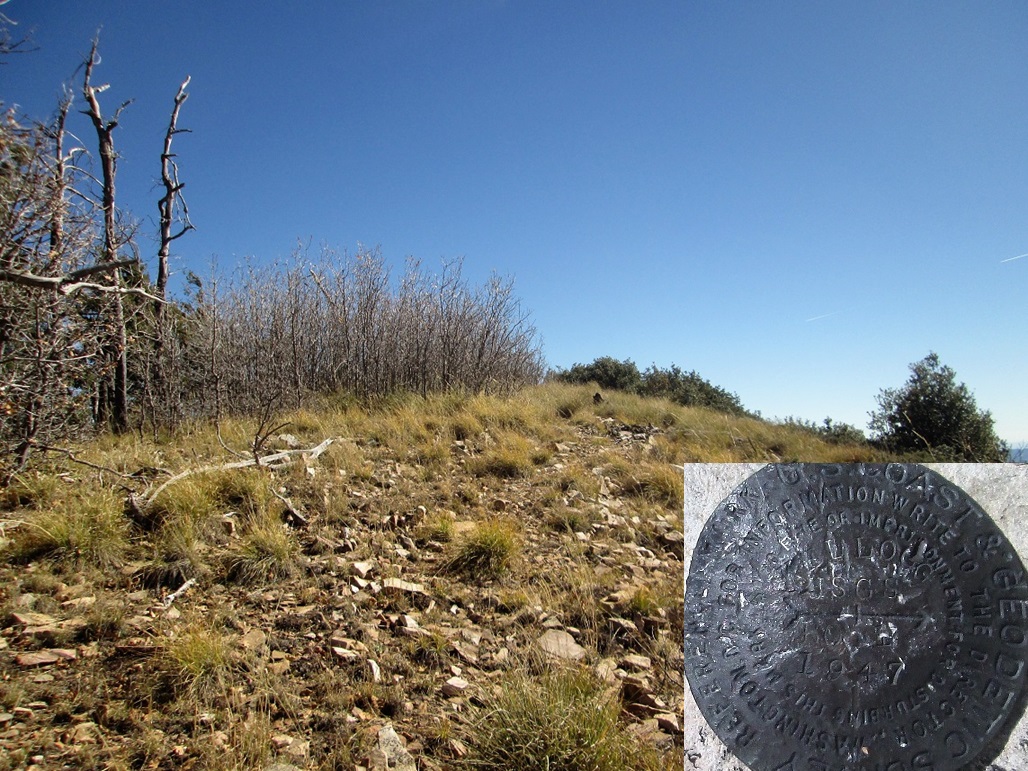
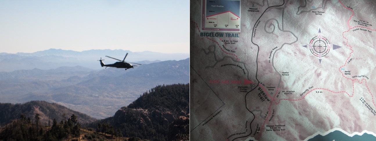
Back to the saddle, I found a path that went up, then not, but I angled a little and found another one that did go up. It was a weak path covered in leaves and downed trees, but it went upward. Toward the top, I had to make a few guesses. Soon, I was on top of Kellogg Mountain. I snapped a couple photos, including one of some military helicopters who were buzzing the range today for exercises. This side trip up Kellogg Mountain took about 15 minutes and covered about 0.4 mile total. It wasn't that exciting.
I then hiked back to the car, arriving back after a total of one hour and twenty minutes. The hike had been fun and a success, but nothing memorable. I was just enjoying the cool air and ponderosa, so whatever bumps I tagged was just extra credit.
When I returned, βð was gone, and I did not know where to. In a few minutes, I saw her walking down a slope; she had gone on a hike of her own, and I happily waited back at the car for her.
Elevation: 7,303 feet
• Prominence: 343 feet
• Distance: 3 miles
• Time: 1 hour and 20 minutes
• Gain: 430 feet
• Conditions: Blue skies, dry air, pleasant temps
Next on my hiking agenda was Green Mountain, just a couple miles downhill. We pulled into the small parking area and parked. It was just us. I was already dressed, so I kissed her goodbye and started up the trail.
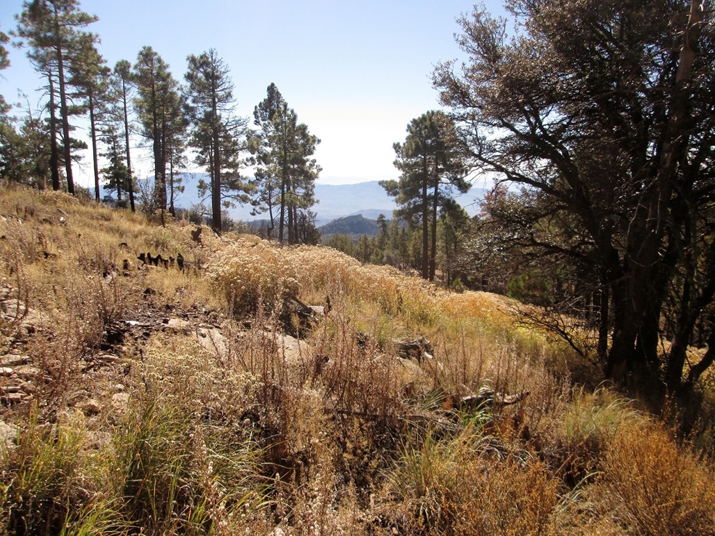
I walked up a few hundred yards to a saddle, then found a weaker trail that, I assumed, went to the top. There is no official trail to the top of Green Mountain. I walked up this steep and loose trail another couple hundred yards. The trail petered out below some rocks and I was unsure where to go. I went up a couple slopes but turned back each time, not enjoying the very loose soil. I did not spend much time here debating, and decided to bail back to the car.
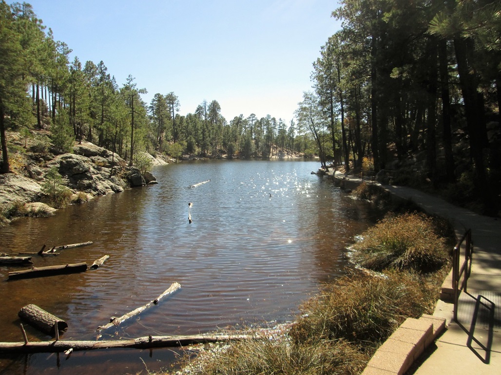
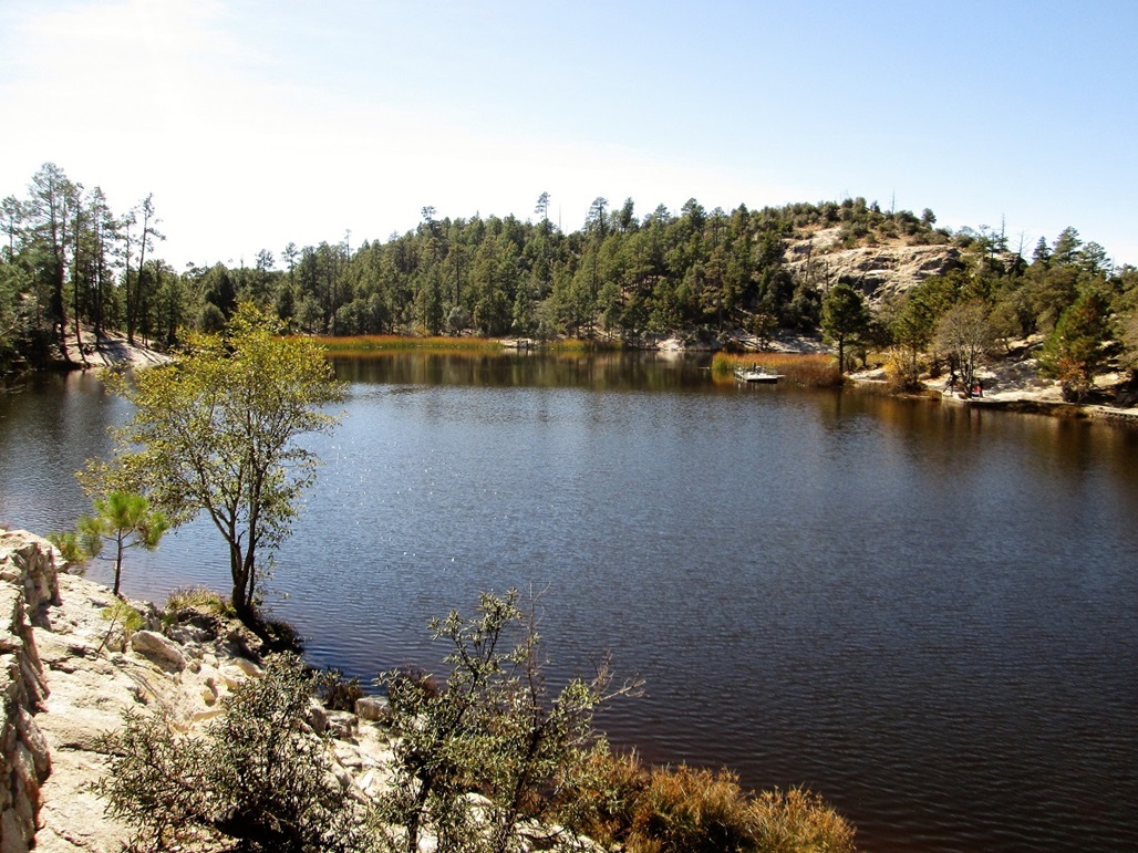
I was not disappointed that I "failed" on Green Mountain. At this point, I did not care whether I was successful or not on any peak here. However, I did have one backup in mind. Since it was still early, I suggested we go take a look. It was Rose Peak, which sits about a mile south of Rose Canyon Lake. The entrance into the campground surrounding the lake was a half-mile from where we were.
We pulled in and paid a $10 fee to the lady at the booth. I asked about any hiking trails to the peak beyond the lake, and this man sitting on a quad about 10 feet away (her husband? They looked like camp hosts) had no idea what I was talking about. Apparently 99.9% of the visitors come here to camp and fish in the lake. Just as we were getting ready to drive on, the guy suddenly suggests a hike that goes up a ridge to an overlook over Tucson. I thanked him and muttered to βð that this was exactly what I was talking about the first time.
So we drove a mile or so to the end of the road and parked near the lake. I got situated, said bye to βð, and started the hike. I followed a paved spur road down about 50 feet to near the lake, then followed a sidewalk "trail" that runs along the west side of the lake. All this did was bring me to a fishing jetty and a dead end. But one of the guys fishing there said that yes, the trail is on the other side and told me how to get there.
I doubled back and found a good hard-pack path on the east side of the lake, shored up by large rocks and low rock walls mortared together. I passed a number of people fishing, including whole families. At the far south end, I had to cross one of the dams (there are two dams, one on the south and one facing west). A big family was here but they did not mind as I passed through their area. I walked directly on top the dam wall to the other side. So far, so good, and the lake was very pretty, I might add.
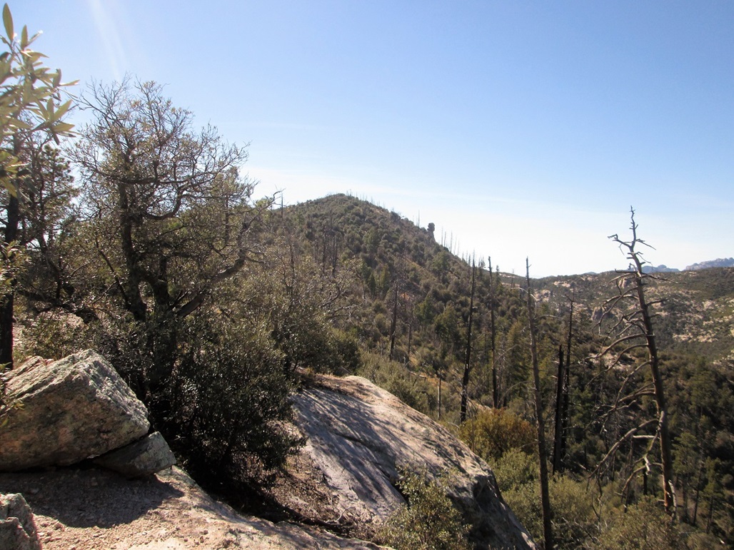
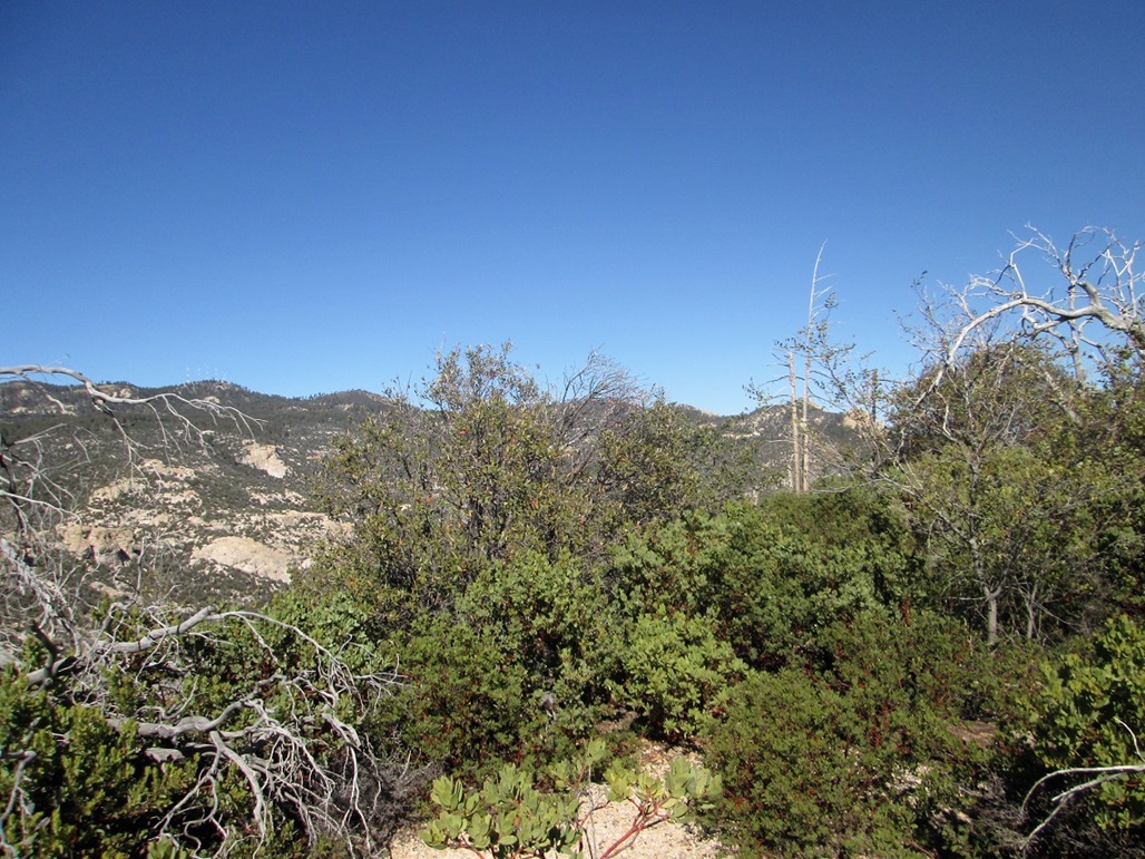
I walked another 50 feet and found what looked like a good trail angling left (south), so this must be that trail. I followed it upward but it soon gave away into nothing. It was brushy but still mostly open, and I barged straight up the short slope to get to the ridge. Maybe there was a better trail there. When I got to the ridge, there was no trail, but now I could see Rose Peak, covered in brush, about three-quarters of a mile away.
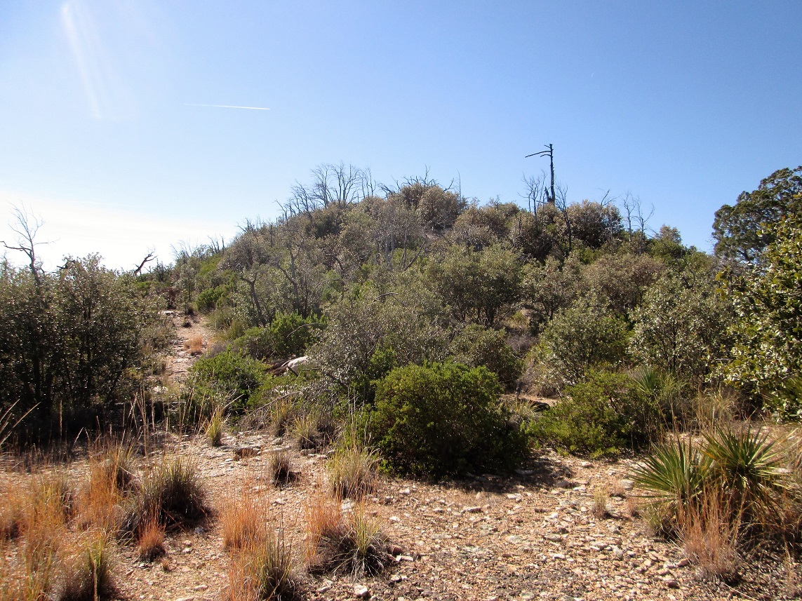
I started walking along the ridge, finding openings in the brush and trees. There never was any trail, just a series of openings in the brush. I came across two campfire rings along the way. For the first half of the ridge walk, it went well, the brush being tolerably light. Then the thick stuff closed in: manzanita and mountain oak, plus agave down low and a lot of deadfall. I found myself going up one way, having to retreat and trying other ways. More than once I was ready to call it quits. But having paid $10 for this privilege, I was more motivated than usual to keep going.
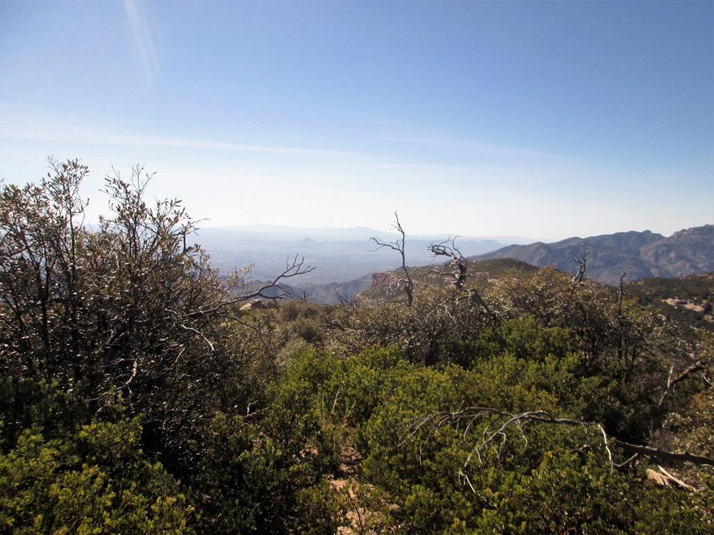
It wasn't all bad, just tiring, scratchy and tedious. But it was short and I was soon at the top. I walked to the far south end for the view of Tucson I was promised. I could see Tucson but it was partially blocked by brush and tree limbs, and not any better than other viewpoints from along the highway. I did not see any cairns or signs of previous visitors. I did not stay long, turning almost immediately around for the walk out.
I retraced my route, but this time had no patience for finding open ways through the heavier brush. Thus, I just barged straight through it, except when it was absolutely impossible to do so. I got my share of splinters and spines in my clothing and on my skin. I was shortly back near the lake, then to the car. I had been gone a little over an hour and was a little more banged up than I expected to be.
I had one more hike planned, but it was now about 2 p.m. and I had no desire to get more scratches, so I skipped it, figuring we can always come back. We drove slowly down the highway into Tucson, enjoying the sights, then slowly back to the Interstate, getting a little lost due to road closures in the city. We stopped in for a bite at the Cracker Barrel in Casa Grande. When we exited, all the trees were filled with squawking, screeching crows, thousands of them! It was like that movie with a lot of birds whose title I can't remember.
|


|