The Mountains of Arizona
• www.surgent.net
|
| Boy Tank Hill • Peak 5878 |
• Mogollon Rim Foothills • Tonto National Forest • Gila County |
|
Date: May 8, 2020
• Elevation: 5,878 feet
• Prominence: 328 feet
• Distance: 1 mile
• Time: 45 minutes
• Gain: 320 feet
• Conditions: Hot and hazy
Arizona
•
Main
•
PB
•
LoJ
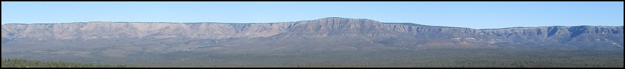
This hill lies south of Kohls Ridge about ten miles east of Payson. It does not have a name so I named it after a nearby stock tank. To be honest, this is a lame hill and not worth the trouble to hike it unless you're intending to tag every ranked summit you can get to.
I had been inside all day, working from home, answering emails. I also had an interesting offer come my way today that if it pans out, could be huge. And if it doesn't, it will be life as usual. I won't go into details here. But what I needed was to get out and let my head relax, to not think about it for a brief while.
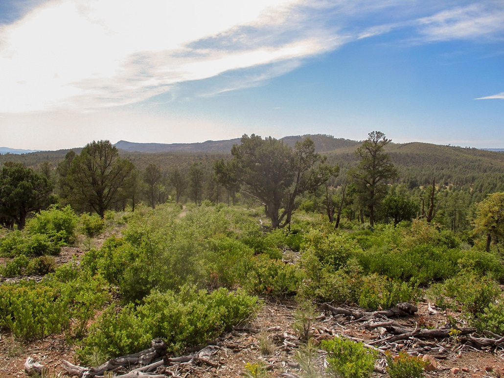
It was about 1:30, the day was warm (high 80s) with a layer of high clouds damping the light and giving the whole area an ugly hazy look. So yeah, suddenly this little hill looked like an option. It was close, would not take long and would get me some exercise and maybe a snakebite. I wanted to drive some of the forest road (FR-405) to it, to see its quality, since it goes to other points of interest.
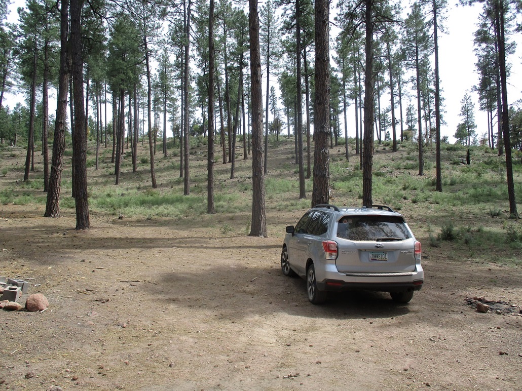
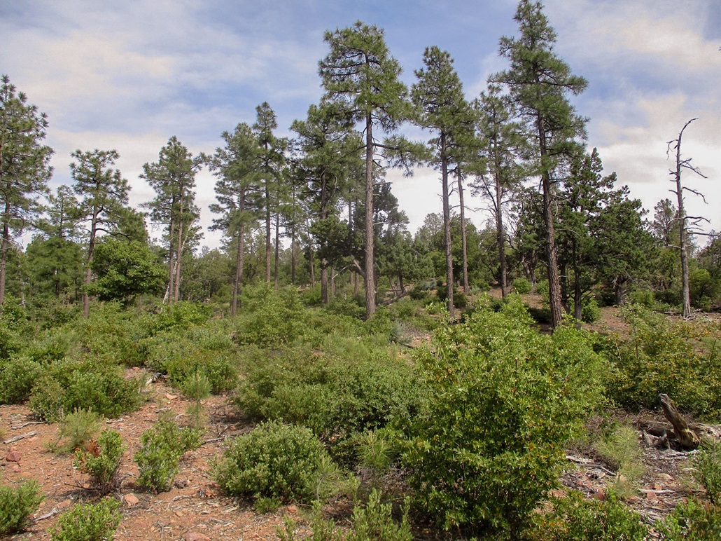
From Payson, I went east on AZ-260 to the Hellsgate Trail turnoff at milepost 263, then about three miles east on FR-405 through the tall ponderosa until I was at the west base of the hill. People were already setting up big camping compounds for the weekend all along the forest road. Despite it being in the high 80s here, that's still 15 degrees lower than in the deserts.
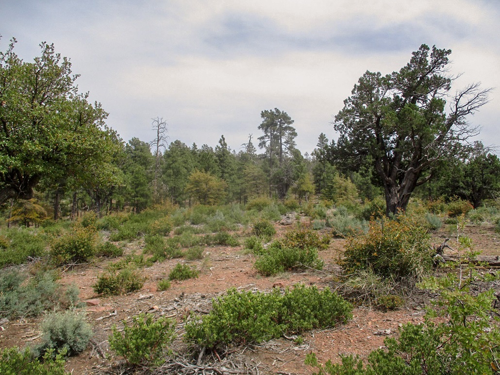
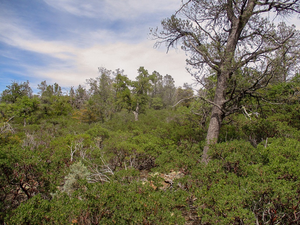
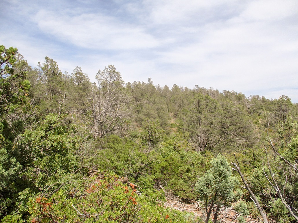
I parked in a clearing with a fire ring, got my stuff together and locked the car, the time about 2 sharp. I went up the closest hill, not necessarily the most efficient one. It was right there and easy to get to. Down low the undergrowth was light. Once atop the low ridge, the woody manzanita thickened, but never got too bad. It was about waist high and spaced out enough so I could weave through it, although it took some time to find the openings.
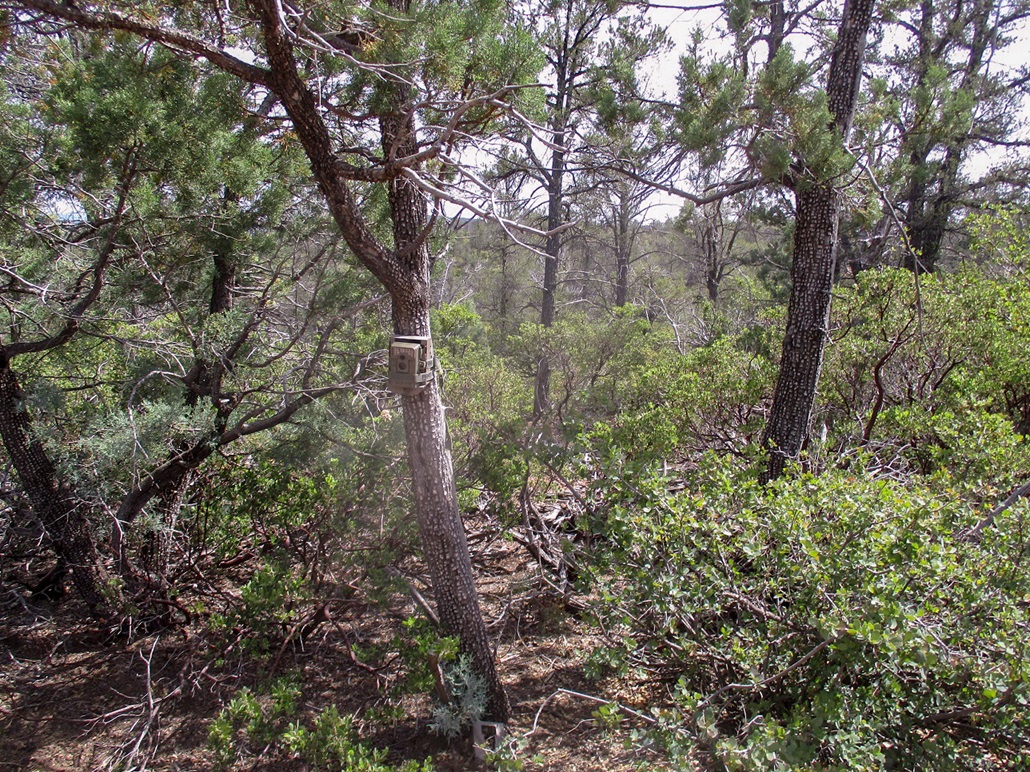
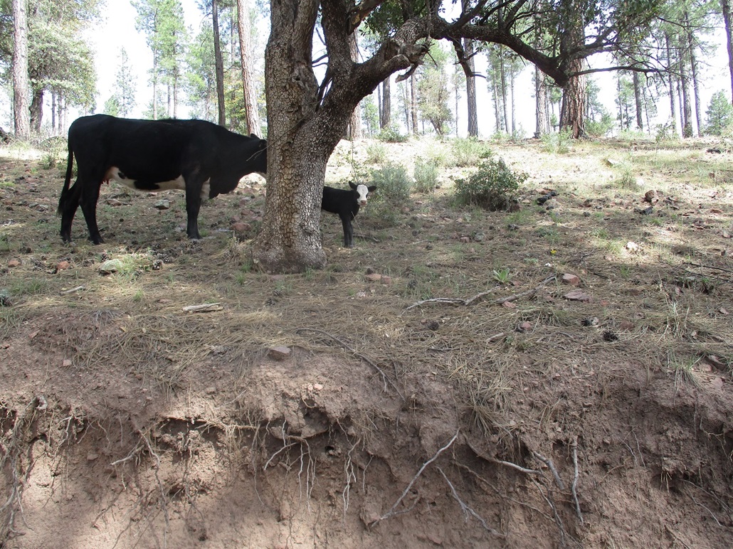
I was soon on the top ridge. The hill has two summits, the western one about 40 feet lower than the eastern one. The trees and undergrowth were thick but I could move without much trouble. After some guessing, I came out to a slightly-more-open area. From here it was a quick walk to the real top. Along the way I came upon a wildlife camera tied to a tree. So I looked into it and smiled. Some biologist can now confirm a sighting of the rare spotted scott.
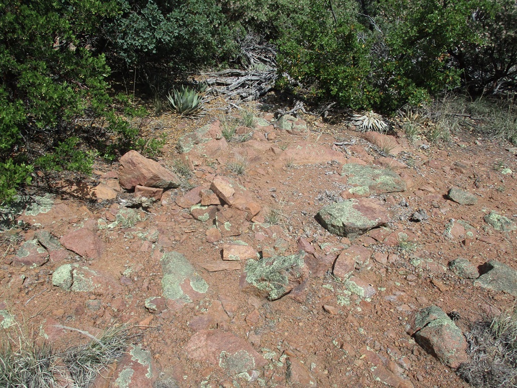
I didn't stick around. I tagged a few rocks and then started down. I tacked a little more west and descended a different slope that was more open and easier to navigate. This put me back on the road about 500 feet north of where I parked. I was back to my car by 2:45, a 45-minute hike. It was hot, hazy and not memorable.
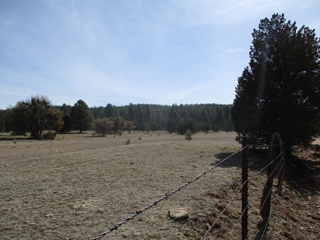
I exited back to the highway then went to the Control Road, which leads "around back" of Payson. I wanted to drive to Diamond Point, the highest point of the Diamond Rim. In 2018, Beth and I drove here but the road was gated below the top with signs about no public admittance. Maybe things had changed since then.
The drive went well. More and more people were setting up their RVs and tents and chairs. I drove up to the edge of the rim and to the gate. It was still closed and with the same signs, and more signs plus yellow police tape, I guess to emphasize they really don't want anyone up here. I'm sure the pandemic has something to do with it. I did not hike it ... again. But it killed another half hour. I exited back to the highway and drove home, gone a total of about two hours. It was a good way to clear my head of the things in it.
|

|