The Mountains of Arizona
• www.surgent.net
|
|
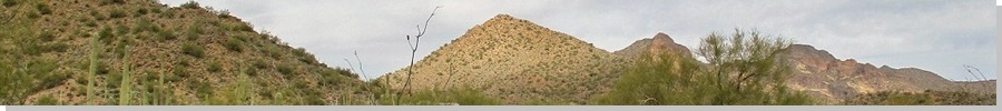
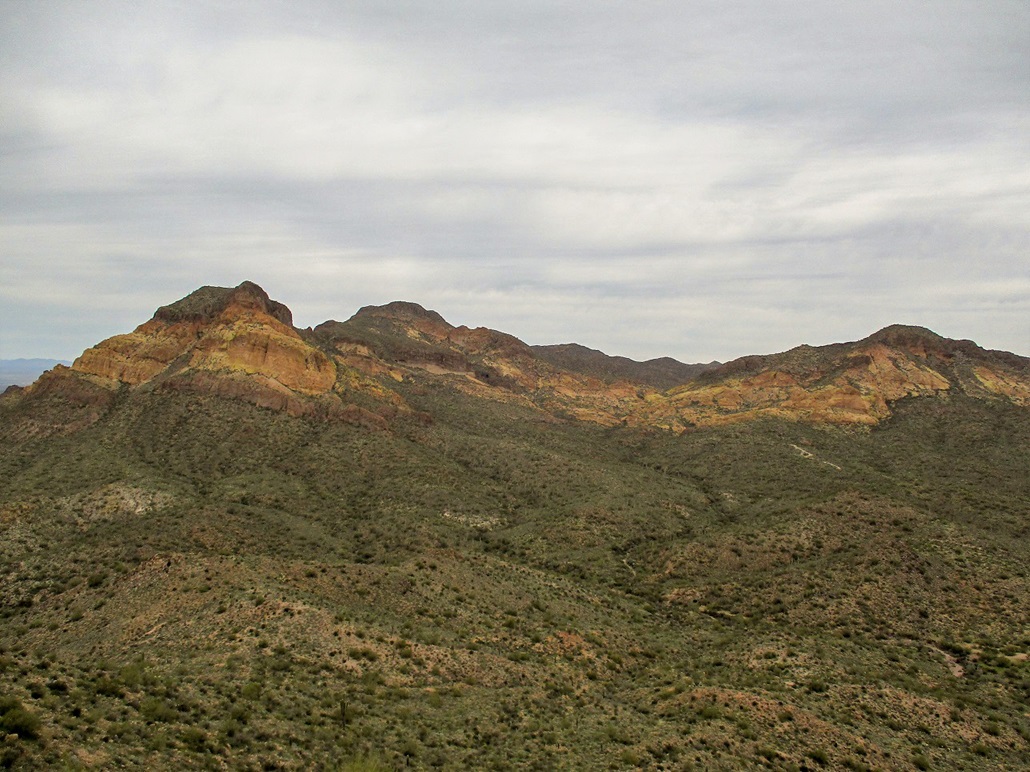
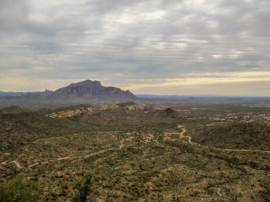
Peak 2650 • Peak 2630 These two peaks lie about a mile apart, contained within the Goldfield Mountains, just inside the Tonto National Forest boundary north of Apache Junction. This area is known as the Bulldog Canyon Offroad Vehicle Recreation area (or something like that). I was here just once before, when Scott Peavy and I climbed Dome Mountain in 2015. I was here again today, looking for a short hike and a chance to tag two ranked summits.
Date: February 9, 2019
• Elevation: 2,685 feet
• Prominence: 440 feet
• Distance: 1.5 miles
• Time: 1 hour
• Gain: 1,150 feet cumulative
• Conditions: Cold and cloudy
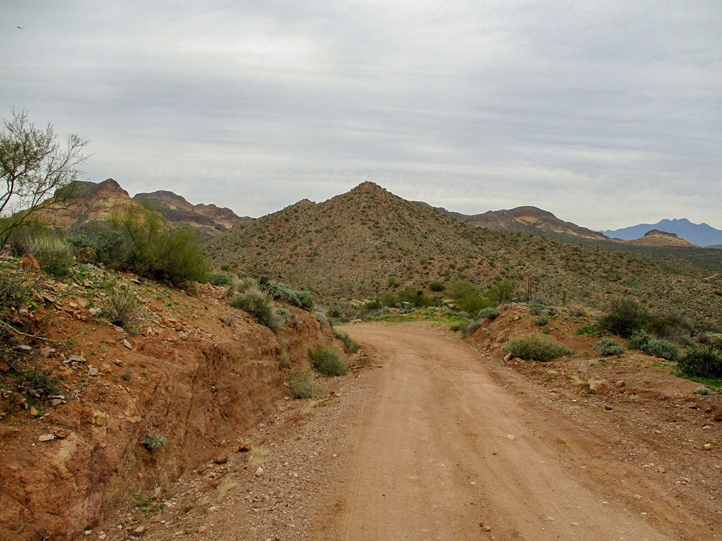
I did not roll in until a little before 10 a.m., the day cloudy and cool, but still. Temperatures were in the mid-50s, cool enough for a light jacket. I parked at the south entrance gate, everyone else here in Jeeps and other beefy vehicles intending to drive the roads herein. I was the only hiker, apparently. I started walking at 10 a.m. sharp.
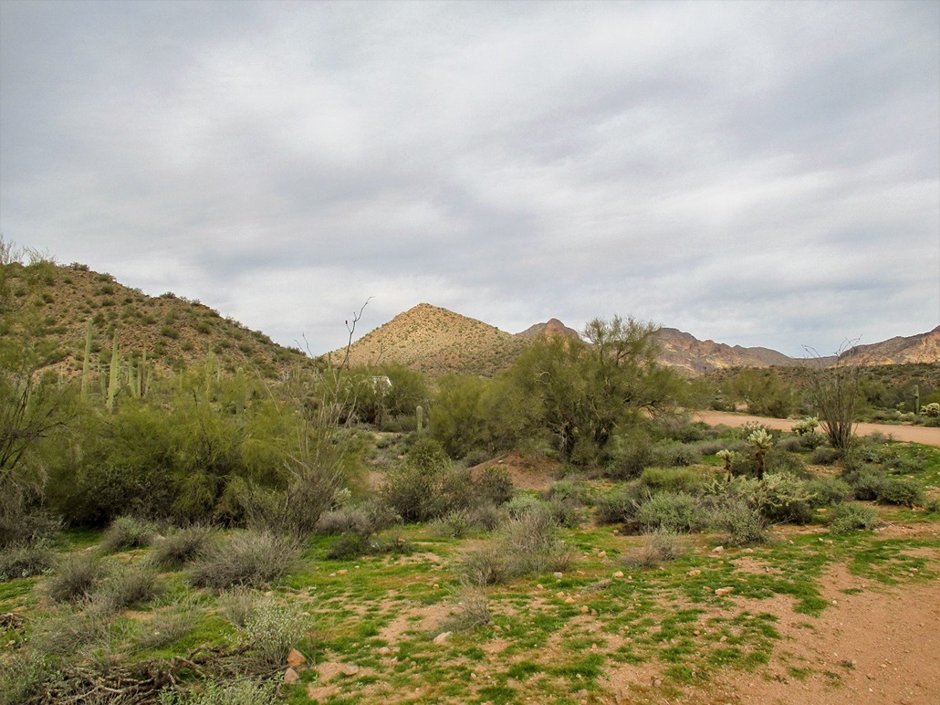
I went north on Tonto National Forest Road 10, passing a few long-term campers early on. About a half-mile in, the road bends west, while my first peak, Peak 2650, lies ahead to the north, an obvious peak with a pointed summit and a long unbroken east ridge. I could see a road that rose to a saddle at the base of this ridge, so that's where I started walking towards.
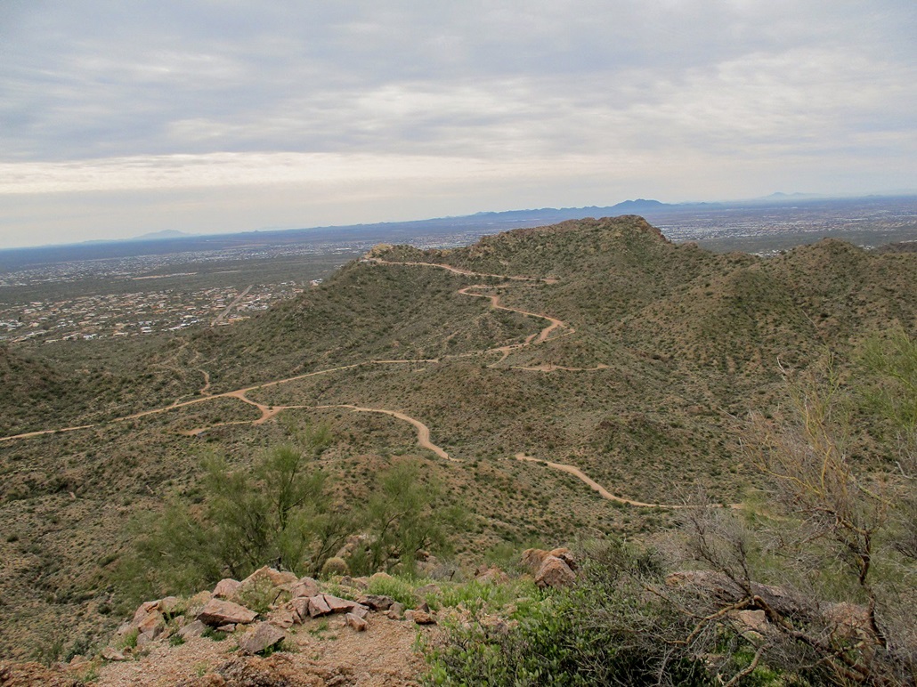
This immediate area is full of roads with nasty drops, clearly there for the ATVs and motorbikes, but treacherous for hiking. The roads are very steep for short segments, covered in thick-grained gravel, impossible not to slip on. So I descended into and out of about three of these dips, going through the light brush. Soon, I was out of this little section and on the "proper" road heading north. In moments, I was at the base of the east ridge of Peak 2650.
I found a trail that seemed to go where I wanted, so I followed it, but then left it soon to start of the slopes directly. The going was easy, the slopes never too steep and the brush spaced out enough to weave through. I trudged upwards and was at the summit of Peak 2650 about 40 minutes after starting. Surprisingly, I found a sign-in log. This peak seems to get a steady stream of visitors, maybe one or two a week, fewer in summer. I spent about ten minutes up top, looking around and snapping photos. But it was cool, so I started down, just to keep moving and warm.
Elevation: 2,630 feet
• Prominence: 405 feet
• Distance: 1.5 miles
• Time: 1 hour
• Conditions: Still cold and cloudy
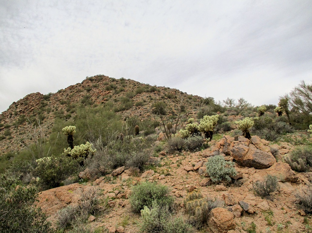
I followed the east ridge down to the road, then that road back to Forest Road 10. Then I truned west again, and hiked toward the second peak on the agenda, Peak 2630, which features a small communications tower. A spur road goes to this tower, which is located on the southeast tip of the summit ridge, and about 30 feet lower than the highest point. A bunch of people were parked there, staging their dirtbikes from there. I had no reason to actually approach them. After the second turn in the road to the facility, I left the road and started up a steep slope directly toward the top ridge.
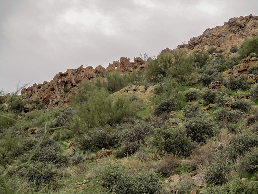
The ridge is covered in a small rampart of rocks and cliffs, including a round "hole" (arch?) in one of the rocks. I shot an image of this peculiarity. The uphill hike was short and I was soon upon the rocks. I just kept going right or up until I was below the top rocks. I walked up the rocks and tagged the highest bump, but didn't spend any time here. I descended the way I came up.
Now walking back to my car, I came upon a young man having a hard time kick-starting his dirt bike, so I offered to try, being heavier than the kid. Maybe I could muscle the damn thing to start, but it wouldn't start. I think he may have flooded it. He was close to his pals at their staging area so he was in no danger of being stranded. A few minutes later, I could hear it start up. Good for him.
I was back to my car at noon, a two-hour hike. The round trip covered about three miles with an accumulated 1,150 feet of gain, so I got a good workout. There was no challenge to either peak and I was happy to tag a couple more peaks to pad my totals.
|


|