
The Mountains of Arizona
• www.surgent.net
|
| Fisher Hills Highpoint |
• Highpoint: Fisher Hills • Arizona State Trust Land • Cochise County |
|
Date: April 6, 2025
• Elevation: 5,020 feet ✳
• Prominence: 707 feet ✳
• Distance: 2.7 miles
• Time: 1 hour, 45 minutes
• Gain: 860 feet
• Conditions: Sunny, clear skies and cold
Arizona
•
Main
•
PB
•
LoJ
•
Lidar
The Fisher Hills rise northeast of the Interstate-10 and US-191 junction, about twelve miles northeast of Willcox. The peaks lie in a large area of contiguous State Trust land, leased to area ranchers for grazing. Not many people come back here, but access is not fettered and the roads in are good roads. The hills just happen to be far from everywhere.
This weekend was a cool one, with a storm passing through the state on Friday and Saturday, dropping temperatures about 15 degrees below normal. Today, Sunday, started bright and sunny, not a cloud in the sky, but very cold, temperatures in the low 30s in Bisbee. Highs in Willcox were only expected to reach the low 60s.
I left Bisbee at 6:30 a.m., made a stop in Willcox for gas and snacks, and motored eastbound on Interstate-10 to the second of the two US-191 exits. I took the eastern one, since it was close to the tracks I wanted to follow in.
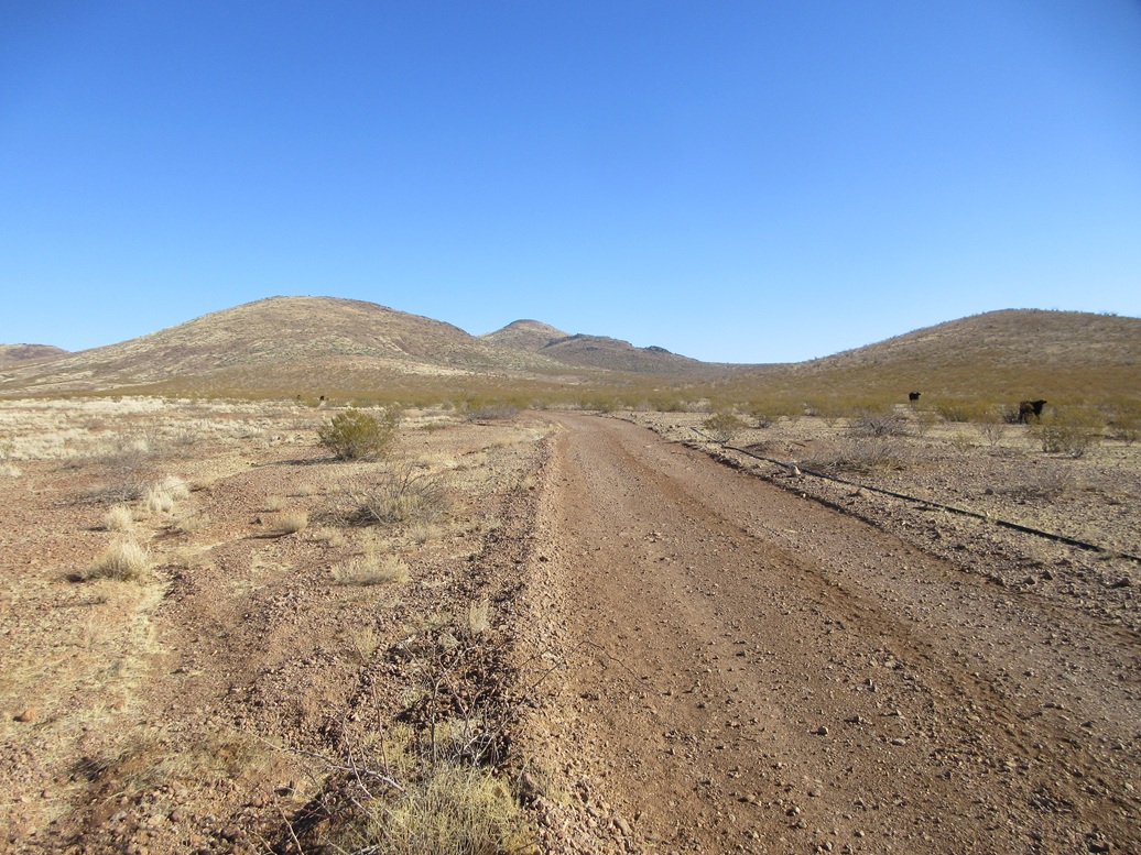
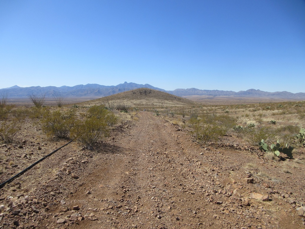
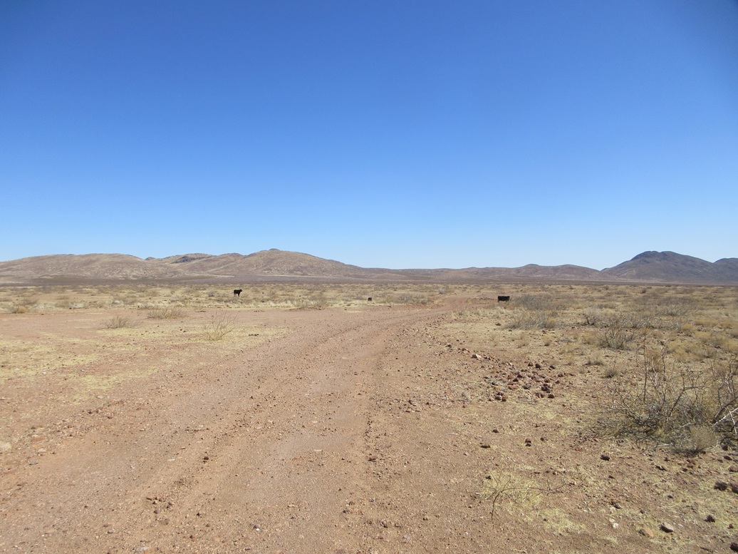
I went north on the road less than a mile to an unlocked and unposted gate. The road in was in excellent shape. It was well graded and smooth, rocks no bigger than a golf ball in the road. It bent northeast and then north, passing a corral. Some cattle were in the area, some eating the grass, some watching me.
I continued north on the road through the crook of two smaller foreground hills, passing the cattle along the way. The road ends about a mile later at a metal stock tank, but I had parked a few hundred yards earlier when I found a nice spot to pull off. I was less than two miles from the peak and did not mind the extra walking.
I was already dressed and ready, and got my stuff together and started the hike at 8:20 a.m.. It was still cold and brisk, temperatures now in the low 40s with a steady breeze that chilled me.
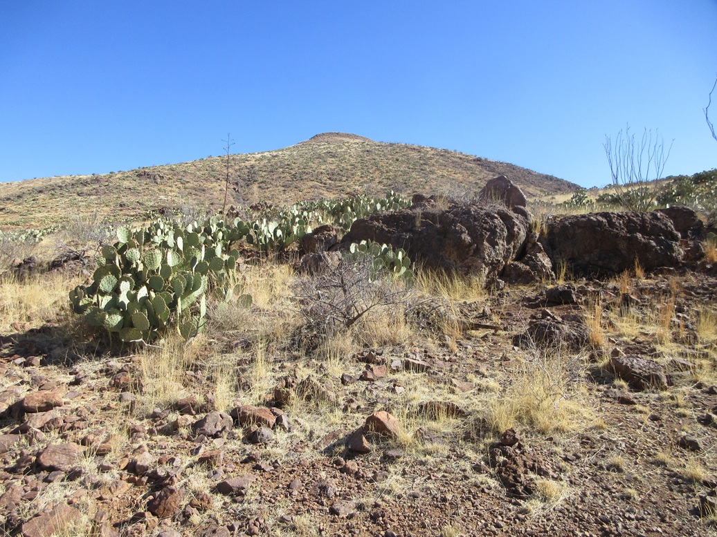
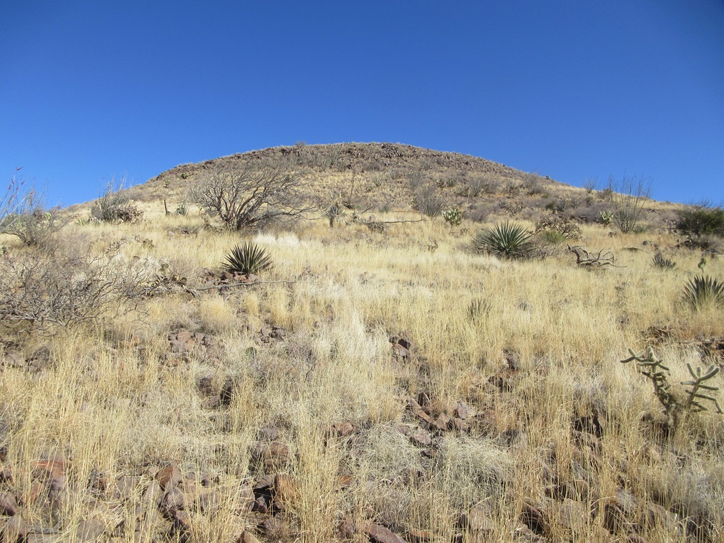
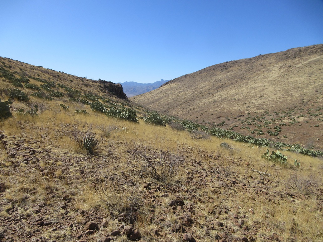
The road aims north and I was at the stock tank in about five minutes. The highpoint is hidden for now by a foregorund peak. I angled left and followed cattle trails into the canyon, which worked well. Down low, the terrain was mostly creosote and prickly-pear, with mesquite and catclaw within the canyon bottom. Grass was light.
I eventually dropped into the canyon drainage itself, which worked well. It was rocky, but wide and rarely blocked by brush. This allowed me to curl around the lower foreground peak, and be able to see the Fisher Hills highpoint peak again.
I angled up and out of the drainage, walking up an easy slope of cactus and denser grass toward a saddle. It was still very chilly and any snake would be in its hole, or if out, doing its best impression of a stick.
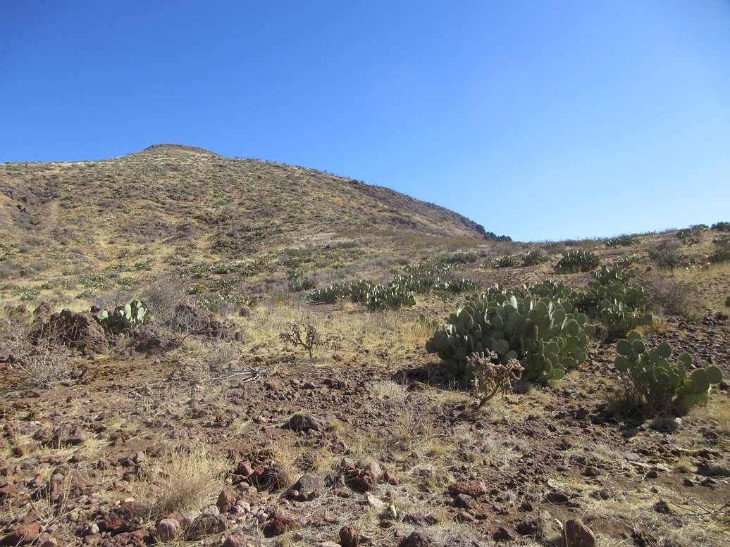
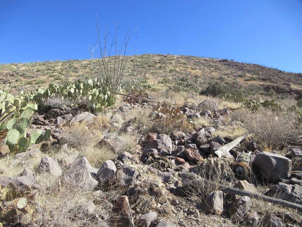
At the saddle, I continued upward, now on the main southern slope of the peak. It was steep and sometimes loose, but never too bad. Rocks would roll about every fourth step. The prickly-pear was much thicker up here, forcing me to find walk-arounds. There was some pencil cholla and a few ocotillo as well.
This segment ends at a lip, where the gradient lessens, and the summit can be seen again, now just a hundred feet higher. I spooked some deer up here, all of them getting up to jog away.
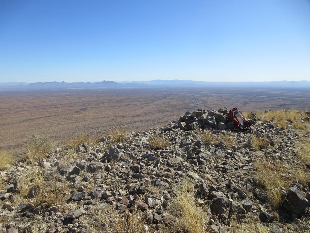
The final climb was up this slope, which became rockier at the very top and forced me to use hands a few times for balance. It wasn't scrambling, but I had to move carefully and ensure the rocks stayed put. And suddenly, I was on top of the peak.
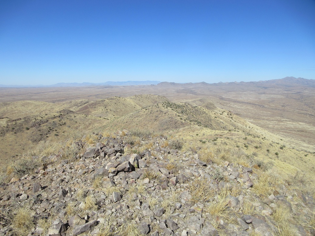
The summit is bare with a rock cairn centered on it. I found the register and signed in, the first for 2025. Names went back to the early 2000s, but not many. About half were hunters, the rest being the usual peakbagger all-stars.
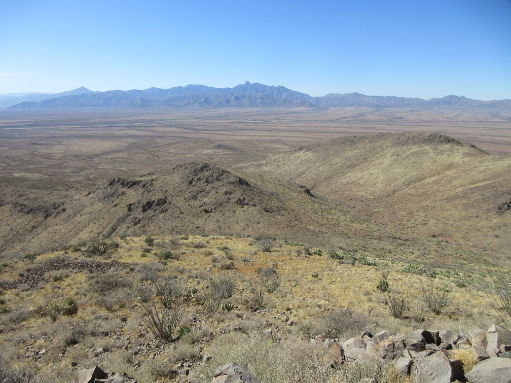
I spent about ten minutes on top, looking around and enjoying a break. It had taken me 58 minutes to get here, covering a little under a mile and a half. Views were excellent, with the blue skies and low humidity. Only the Pinaleño Mountains had some clouds over it. I could see snow in spots when the clouds moved aside.
The hike down went well, following the same route out. I had to move deliberately lest the rocks slip or slide, but I made good time, the egress hike taking just 35 minutes. It was barely past 10 a.m. when I returned to my car.
The hike had gone faster than expected and the roads in were most helpful. I had been expecting worse roads and a longer hike, but was pleased how fast it went. The whole region is vacant, mostly high desert valleys ringed by mountains. Other than the cars and trucks on the interstate, I was probably the only person out this way in a ten mile radius.
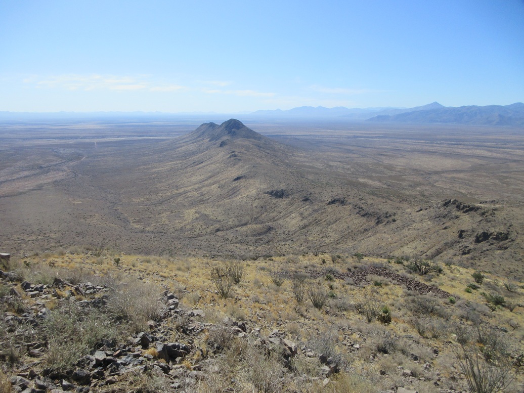
Since the day was still young, I had a second peak on the docket, Texas Canyon Peak 5560, about twenty miles to the west.
On my drive west, I exited at the Rex Allen/Fort Grant exit in Willcox, and drove north on Circle I Road toward W Mountain, so named for a big W on its slope. Behind it is a bigger mountain, the Circle I Hills Highpoint, with towers on top and road all the way up.
I was here years ago and recall there being a huge "No Trespassing" sign along the road, the size of a billboard. This time, the sign was still there. Yet the road is open and appears to be public access... but I wasn't sure, so I backed off.
I doubled back into town, getting onto Joe Hines Road. Where it meets Marguerite Road is the city's northwesternmost point, and the highest point of elevation, at 4,188 feet. I parked, got out, took a photo and stuck my foot under the fence at the corner.
Willcox's city limits are drawn in such a way to exclude any hills in the area. The city itself is about as flat as a city can get. At its southernmost boundaries, the elevation is about 4,160 feet, meaning an elevation change of about 30 feet over the course of about five miles.
I got back on the interstate and resumed my journey toward Texas Canyon.
|


|