The Mountains of Arizona
www.surgent.net |
|
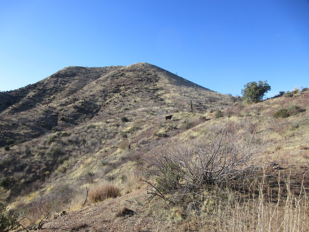
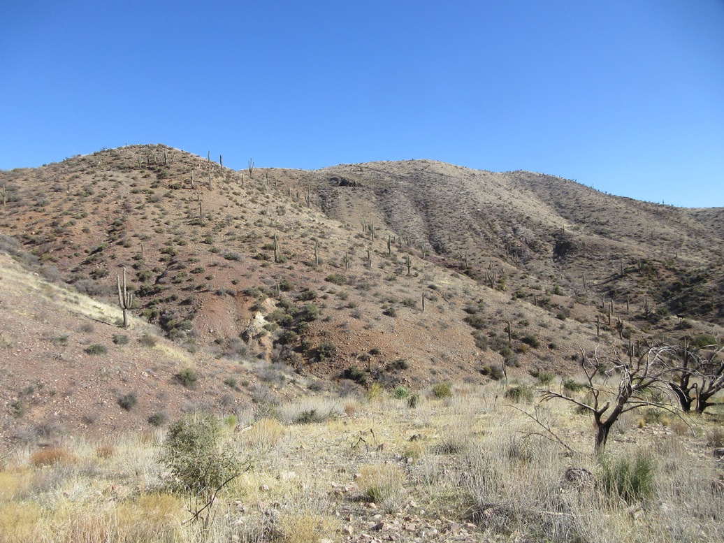
Peak 3965 • Peak 4154 Today, I would look at a grouping of peaks in and around the Gerald Hills, which lie about ten miles north of Globe, where highway AZ-188 bends west and into the hills. The Gerald Hills lie south and east of Hicks Canyon, which runs southwest from the highway. Two more peaks, neither with official names, lie north and west of the canyon. Dagger Spring is the only named feature in these latter two hills, located in the folds below the two peaks. If all went well, I was also interested in Babich Benchmark, a peak rising south of the Gerald Hills Highpoint. The main hurdle is how best to access these hills. A decent gravel track runs through Hicks Canyon, but since the highway was built out about thirty years ago, accessing this road was a mystery to me. On another hike a few weeks ago, I took the time to find where this road is accessed. I found it, and even drove in a little, to see what condition this road was in. Today was my open day between teaching, so after class last night, I got groceries and headed east through Superior and uphill, camping at the Oak Flat campground, where I have camped two times previously. I even snagged the same spot as the previous two times. I rolled in about 9 p.m., ate a dinner in the front seat, then slept decently in the front passenger seat. The weather was clear and cool, in the low 40s when I arose this morning. I was moving by 6:30 a.m., heading east toward Globe, then north up AZ-188 to the upper Wheatfields Road junction. The road into Hicks Canyon starts at a gate about a hundred feet in on Wheatfields Road. I passed through it. The road drops into the drainage, then underneath the highway, then bends west and parallels the highway, abeit about fifty feet below it. The road was in pretty good shape. Some ruts early on would require high clearance. I drove in about two miles, and parked where a side road branches off to the west toward Dagger Spring. I was pleased to get in this far, the road behaving the entire way. It is coarse gravel, but solid. I never felt my wheels spin or the vehicle yaw in the sand. It was about 7:15 when I parked and got myself situated. I would be hiking the two Dagger Spring peaks first as one loop.
Date: March 19, 2025
• Elevation: 3,965 feet ✳
• Prominence: 313 feet ✳
• Distance: 1.4 mile
• Time: 2 hours loop hike
• Gain: 575 feet
• Conditions: Sunny, cool and breezy
Arizona
•
Main
•
PB
•
LoJ
•
Lidar
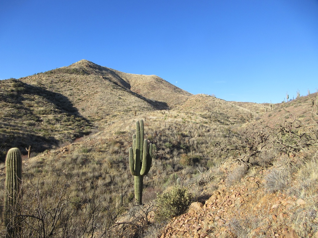
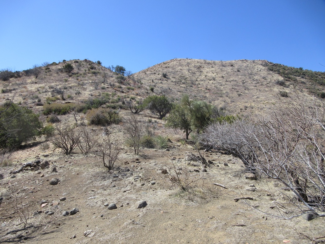
It was still cold and I was in the shadows at first, but once in the sun and me moving, things became more comfortable. I walked the road into this side wash, following some old tracks. The road goes in only so far, less than a quarter mile. It busts up a slope and ends, presumably this being the spring.
I walked the road uphill to get an elevated view of things. I wasn't locked into a particular order of peaks. I dropped back into the wash, crossed a fence, and continued up the washbed, now more rockier. I kept going until it became too narrow, rocky and choked with brush to continue. I ascended out of the wash onto a slope to my right, which essentially meant I was going to hike up the northern peak first.
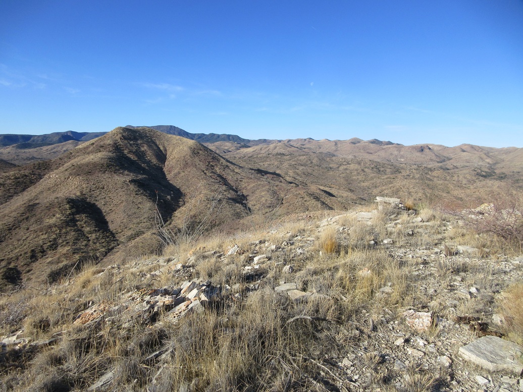
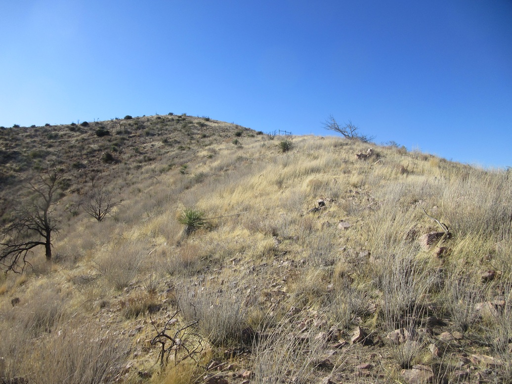
All the slopes looked about equal and no one looked best, so I just went with the one I was on. It steepened but stayed at a consistent grade. The tread was smallish rocks, gravel, and occasional rock outcrops. Brush was light. This slope went up for about 200 vertical feet, getting a little loose toward the top. But it wasn't difficult at all. Once atop this slope, I was on the ridge that leads up to Peak 3965.
The sun was up now but the winds were also heavy, now that I was on a ridge. It was still cold, in the 40s. I turned and aimed uphill. I walked across a level segment, then uphill, then along a high ridge, directly to the top.
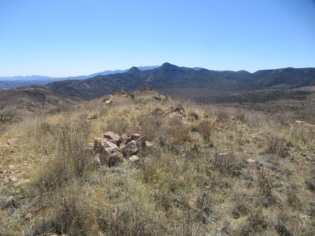
The top wasn't anything special, just a hump of grass and low rocks. Views were good, with the sun still low offering good lighting and shadows. I found a register in the cairn. It took a few minutes to unscrew the top. Names went back to 1998, but there were just a few, and no one in many years.
The one-way hike had taken me just 40 minutes and had gone very well. I spent just a few minutes on top, looking around and snapping a few images, but the stiff breeze chilled me. I was moving downward quickly.
Elevation: 4,154 feet ✳
• Prominence: 353 feet ✳
• Distance: 1.4 mile
• Gain: 500 feet
• Conditions: Windier
• Wildlife: Mountain cows
PB
•
LoJ
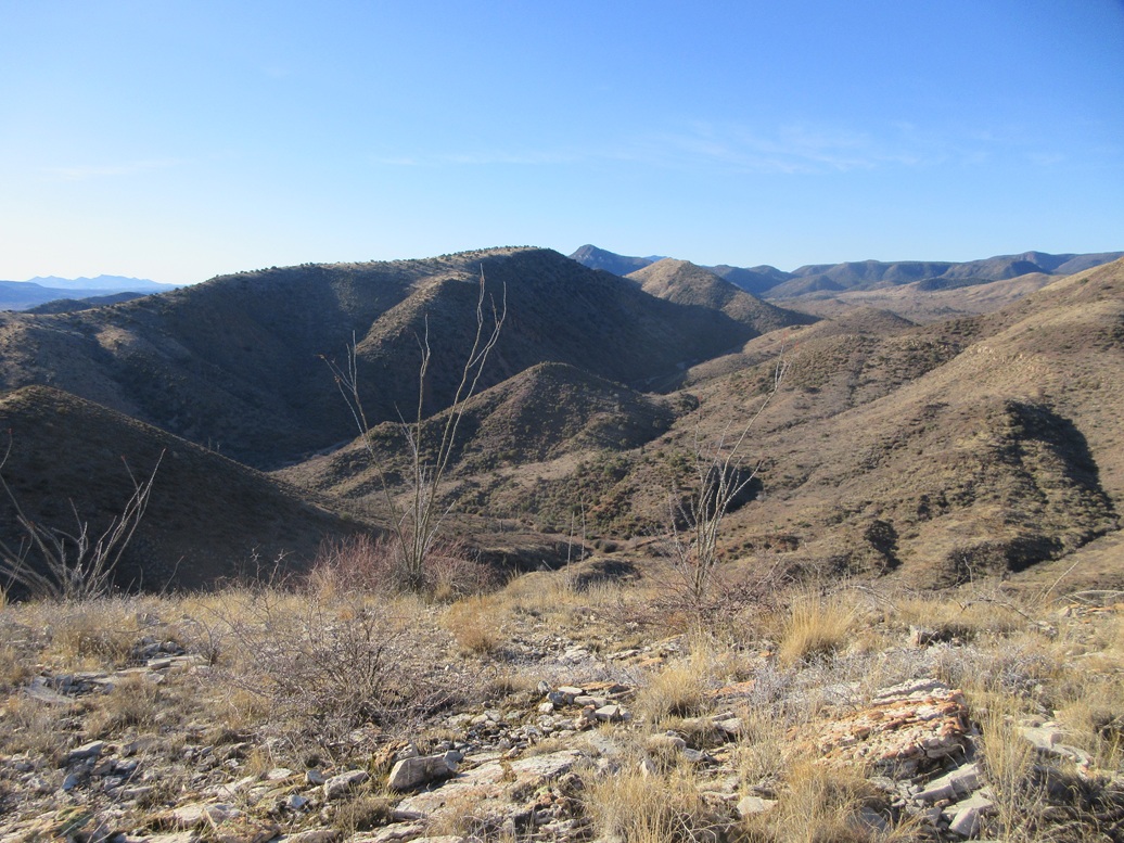
The descent took just fifteen minutes, going down to the saddle connecting Peak 3965 with Peak 4154. At the saddle, two cows scampered by, moving pretty well for being basically massive meats on spindly legs.
I went with the slope that was closest to me and started uphill. This slope was steeper than over on Peak 3965, the rocks tending to roll and slide, so I moved slowly. I gained about 400 feet on this slope, before it leveled slightly.
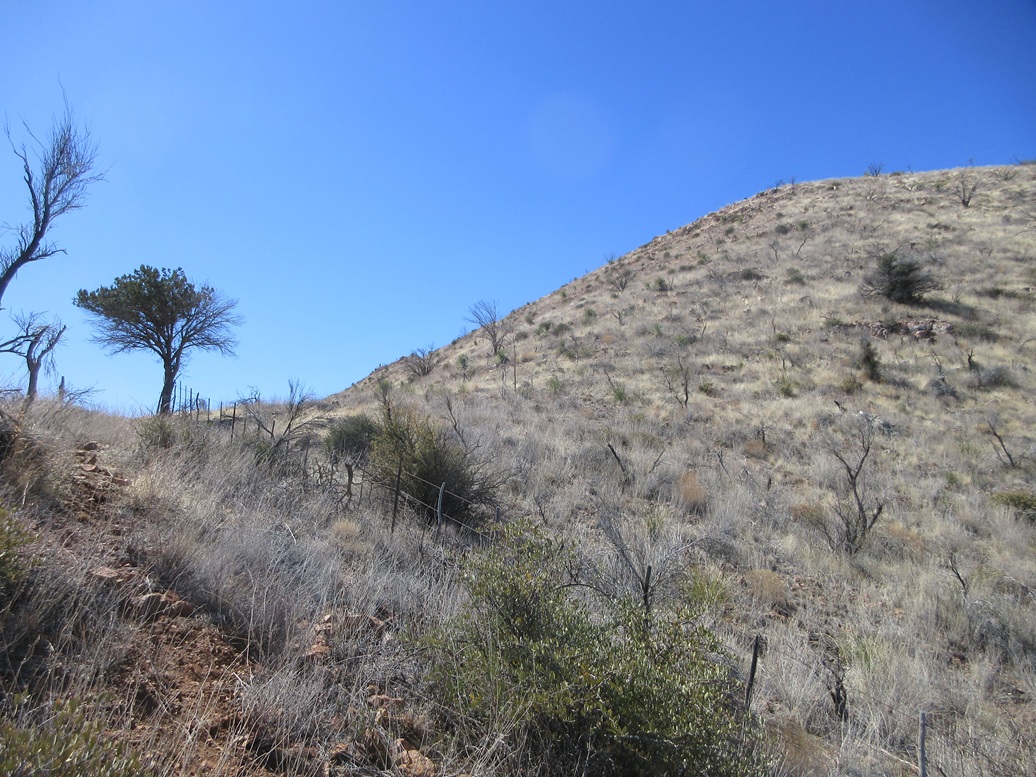
The summit was in view, and a fence line ran across the small ridge ahead of me. I was impressed that they got a fence put in here, on this steep slope. I stepped over it, and was soon on top of Peak 4154, the transit time between the two summits about 50 minutes.
This summit was also pretty bland, mostly low grass and scattered rocks. I found the register, its top off and the papers completely rotted. I had a sheet in my pack and signed myself in and put it in the bottle, and secured the top. Like before, the breeze chilled me, so I did not sit still for long.
I considered descending off an adjacent ridge, but did not like the slope, so I went with what I had taken up. I didn't like that slope either but I knew it would go. Halfway down, I angled to a lower ridge that fed me into the washbed, which I followed out to my car.
The egress hike took just a half hour, and the whole hike had eaten up just 2 hours, covering 2.8 miles. It was not even 9:30 a.m. and I had climbed both of these peaks. I knew they wouldn't be difficult peaks but even so, I was surprised it was still so early.
Back at my car, I got in and had a snack in the front seat and a fifteen minute rest. There was no need to move the car as my next peak was just across the canyon.
Elevation: 4,250 feet ✳
• Prominence: 482 feet ✳
• Distance: 2.8 miles
• Time: 1 hour
• Gain: 860 feet
• Conditions: Sunny and breezy
PB
•
LoJ
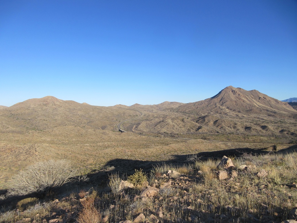
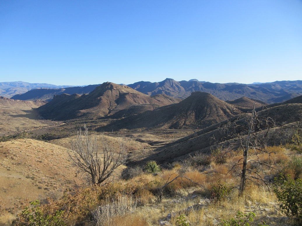
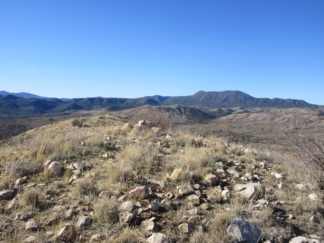
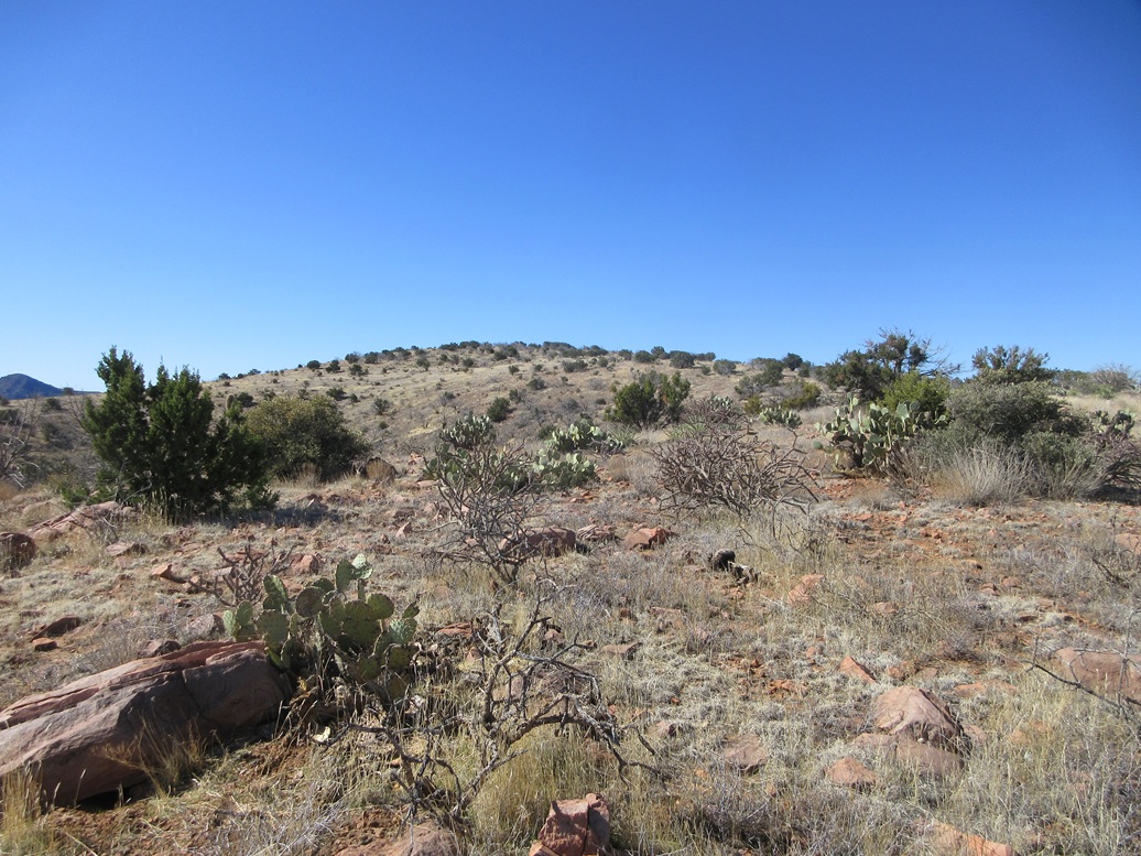
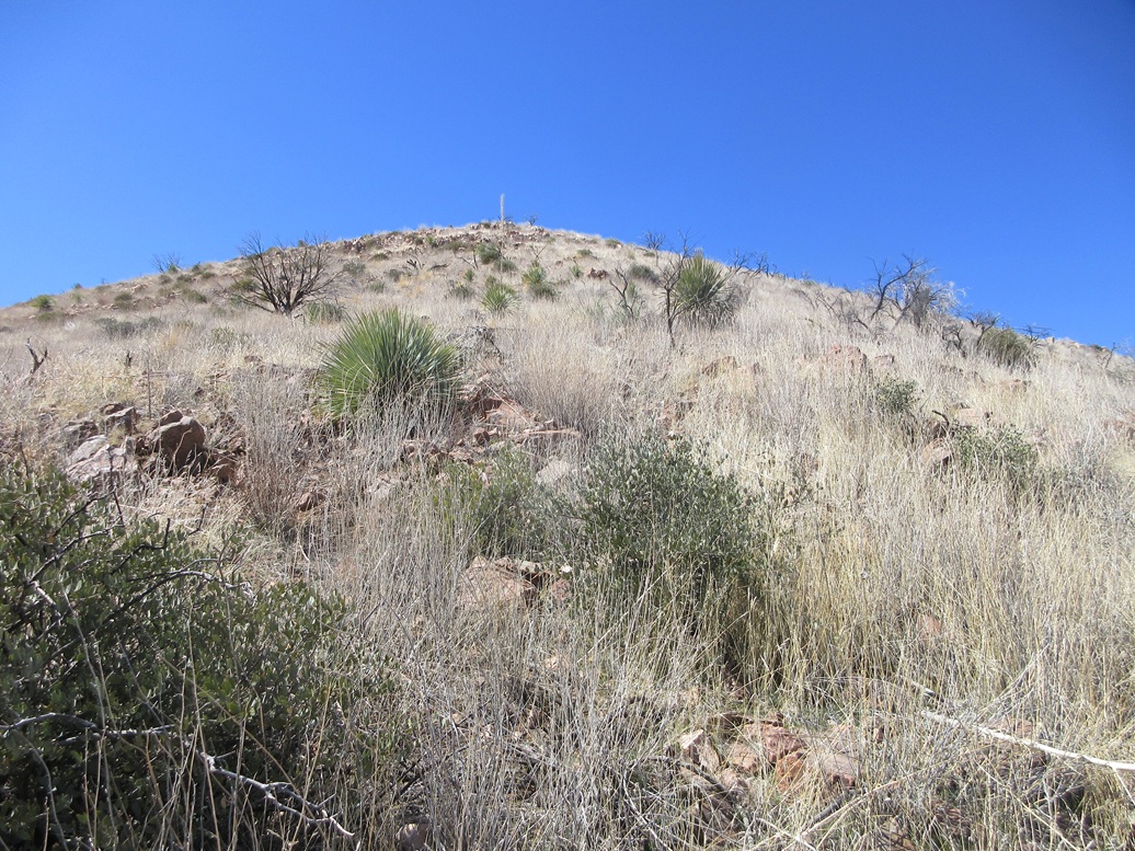
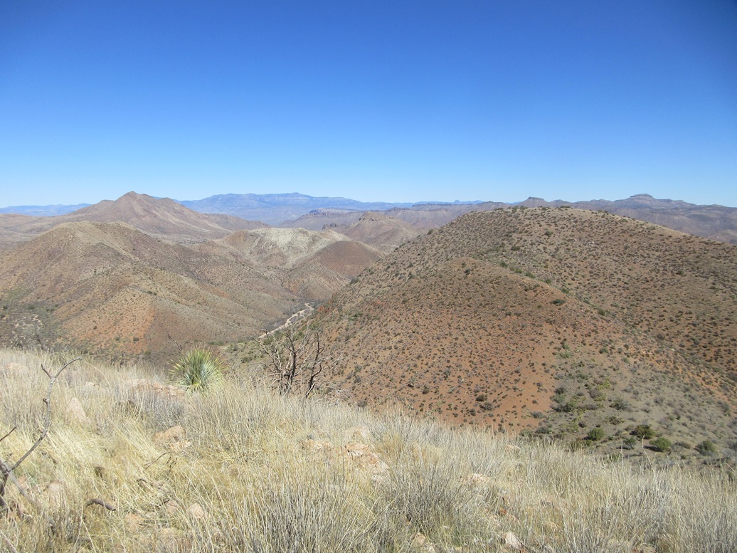
The main spine of the Gerald Hills is flanked by very steep and brushy slopes, none of them looking promising to ascend. However, when high up on the earlier peaks, I could see some ramps and slopes that looked friendly. One was near where I was parked. It was just a five minute walk to situate myself at the base of the side ridge I intended to ascend.
In my photo at left (fifth one down), there is a ramp in the sunlight. The ridge I took up lies next to it, curling around to the north then east up to the main high ridge. I would not have known about this ridge had I not seen it from up high. From down low, it does not look like anything special.
It turned out to work extremely well. It was brushy and steep, but with lanes most of the way and the steepness was never a concern. I was glad it was as steep as it was, as it put me high up on the main ridge quicker.
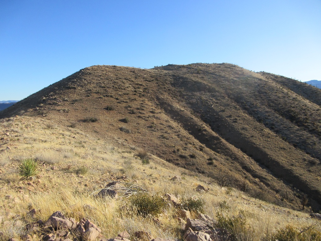
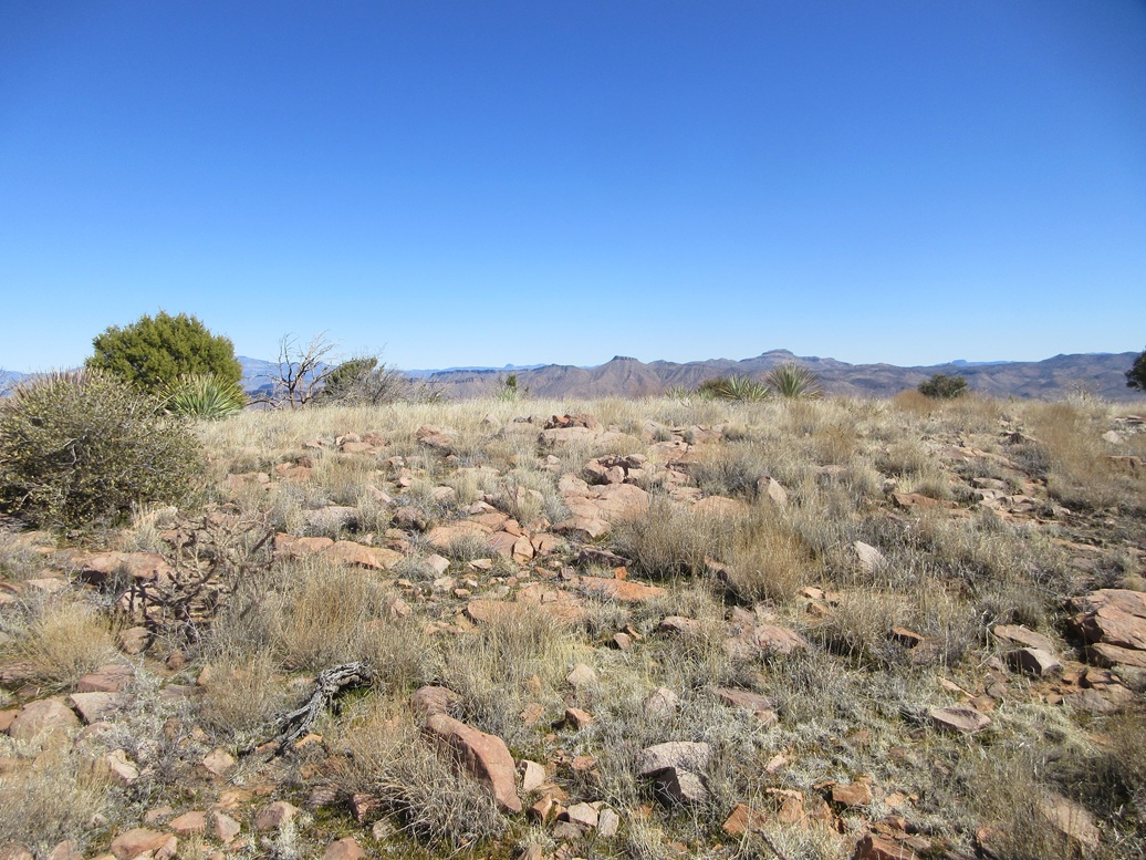
Now on the main ridge, I turned south and walked the open grass and through the scattered trees to the top, which rose very gently about a half mile away. I made good time and was on top of the peak 40 minutes after leaving my car.
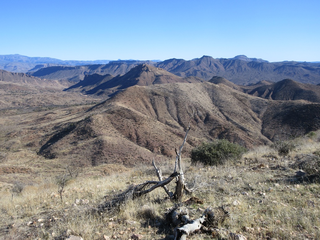
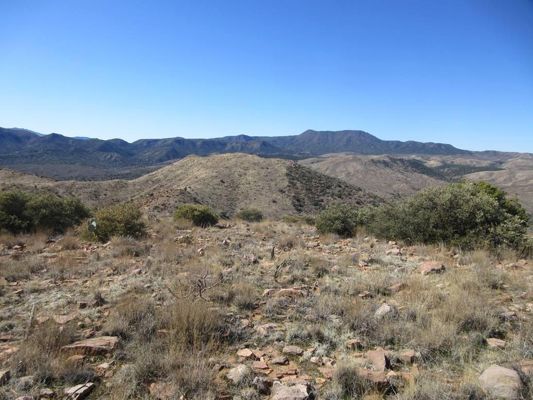
This summit was no different than the others: open, low grass, meager rock piles, a cairn and a register. I signed in and looked around. I was especially pleased to be successful, as this was the big catch for the day. It was still early, so I took a look over at Babich Benchmark Peak to the south and decided to go for it.
I followed the same route out, making great time, the outbound hike a little less than a half hour. For Babich, I would drive my car farther along the road to placemyself below the peak.
Elevation: 4,243 feet ✳
• Prominence: 329 feet ✳
• Distance: 2 miles
• Time: 1 hour
• Gain: 670 feet
• Conditions: Sunny and very breezy
PB
•
LoJ
•
USGS BM Datasheet
I drove along the Hicks Canyon Road about a mile, to a loop where it ends at a fence line and a windmill. I was at the base of the peak, so this was a good place to stop.
The slopes here were very brushy, but I found a cow track that went in and then came upon what looked like an ancient vehicle or bulldozer track that went up the little side canyon north of the peak. It was rocky as heck, washed out in spots, but it was definitely something, so I followed it.
To my surprise, the track went all the way up to the saddle connecting Gerald Hills Highpoint to Babich Benchmark Peak. I was completely not expecting this and was delighted to have a track to follow and not have to bach my way through the brush.
At the saddle, Babich Benchmark Peak rose up, more open and grassy, with some rocky jumbles at its highest crest. I followed cow paths up through the grass, coming up on yet another fence line, this one going over a higher saddle, a lone tree at this saddle.
The final slope was steep but nothing out of the ordinary. The rocky jumbles were tiers of gramitic rock, some of it loose, so I moved through it slowly. And presto, I was on top of Babich!
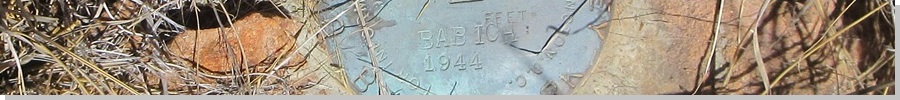
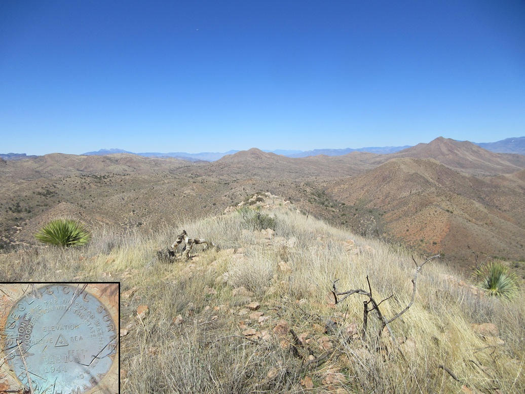
I found the cairn and the benchmark flush in a rock near the cairn. A register was well hidden so I dug it out and signed myself in. It was the same general set of names as in the other registers, but not everyone did all four peaks like I did. These were all familiar names, peaks of interest only to the most
The one-way hike had covered a mile and had taken 40 minutes, just like on all the others. The temperature had risen into the 50s, still cool but not so chilly. The winds seemed to moderate too. I took an image of the benchmark, and also walked over to a more elaborate cairn on the ridge about fifty feet to the southeast.
The name "Babich" is evidently from a rancher, the datasheet saying it's north of the Babich Camp, which no longer appears on maps.
I hiked down the same way, back to my car in a tad over an hour. Four peaks for the day, and it was not even noon yet. I was very pleased to get all four in. Before I started, I figured the first two would go well but take longer, and Gerald Hills was uncertain because I knew of no way to get up to it. Babich wasn't even on my radar this morning. But everything worked out and I was able to climb all four peaks in this grouping.
Later, when researching this peak, I saw a couple mentions of people taking this track to the saddle and climbing Gerald Hills Highpoint from this way, which makes sense. These last two peaks could easily be done as one single outing.
I drove back into Globe, and parked in the big lot near the Wal-Mart. I changed into more comfortable clothes and then took a nap in my car. I had to kill an hour or two because the highway, US-60, is closed until 2 p.m. as they are rebuilding the road and bridge down by Superior. I also went into the Cal Ranch store and got myself a nice Carhartt shirt. They fit me well.
Finally, things were open and I was able to locate myself into Gilbert where I had a hotel reserved. I was quite tired by the end of the day.
|


|