
The Mountains of Arizona
• www.surgent.net
|
| Goat Hill |
• Phoenix South Mountain Park • Maricopa County |
|
Date: November 14, 2015
• Elevation: 2,526 feet
• Prominence: 526 feet
• Distance: 4.2 miles
• Time: 2 hours
• Gain: 1,100 feet
• Conditions: Clear and warm
Arizona
•
Main
•
PB
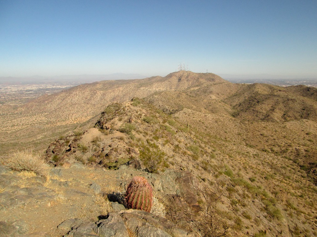
Goat Hill is the unofficial name of a summit in the South Mountain Park of south Phoenix. The peak rises to 2,526 feet in elevation and is the main summit of the western rib of the range, emanating off of the range highpoint at Suappoa Peak near the communications towers. The topographical maps don't show this name, and I had never heard of this peak being called anything until literally just this morning.
I was on the internet, looking at peak sites, and I found this one mentioned. I clicked on it, noted it was in the South Mountains, which aren't that far, had a trail and looked interesting, so on the spot, I decided I would go hike it. That's exactly how it happened. At 11:30 a.m., I had never heard of Goat Mountain. By noon, I'm reading about it, and by 12:30, I'm in my truck going to climb it.
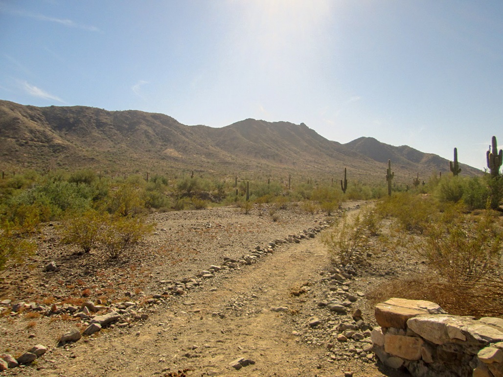
The drive from north Scottsdale covers about 40 miles. I got myself onto Central Avenue in Phoenix and headed south into the hills. I drove to where Summit Road veers hard-left at a junction, about a mile past the ranger station. The road is gated closed due to flood damage. The other road, which goes straight and eventually ends at the San Juan Overlook and the Alta Trailhead, is also closed, ostensibly for the same reason. I was here a year ago and the roads were closed then, too. My gut tells me that the city is keeping these roads closed as a cost-cutting measure, too, using the flood damage as a ruse. Goat Hill's summit rises directly above this junction.
I parked at the wide area where these two roads meet and thought about hiking part of Summit Road to catch the Ranger Trail. But a sign said that any sort of trespassing on this road is not allowed, even foot traffic. I got back in my truck and drove back about a half-mile, pulling onto some side roads and parking at the Five Tables Picnic Area, and the trailhead for the Ranger Trail, elevation 1,420 feet. I started hiking at 1:15 p.m., the day sunny and a little warm.
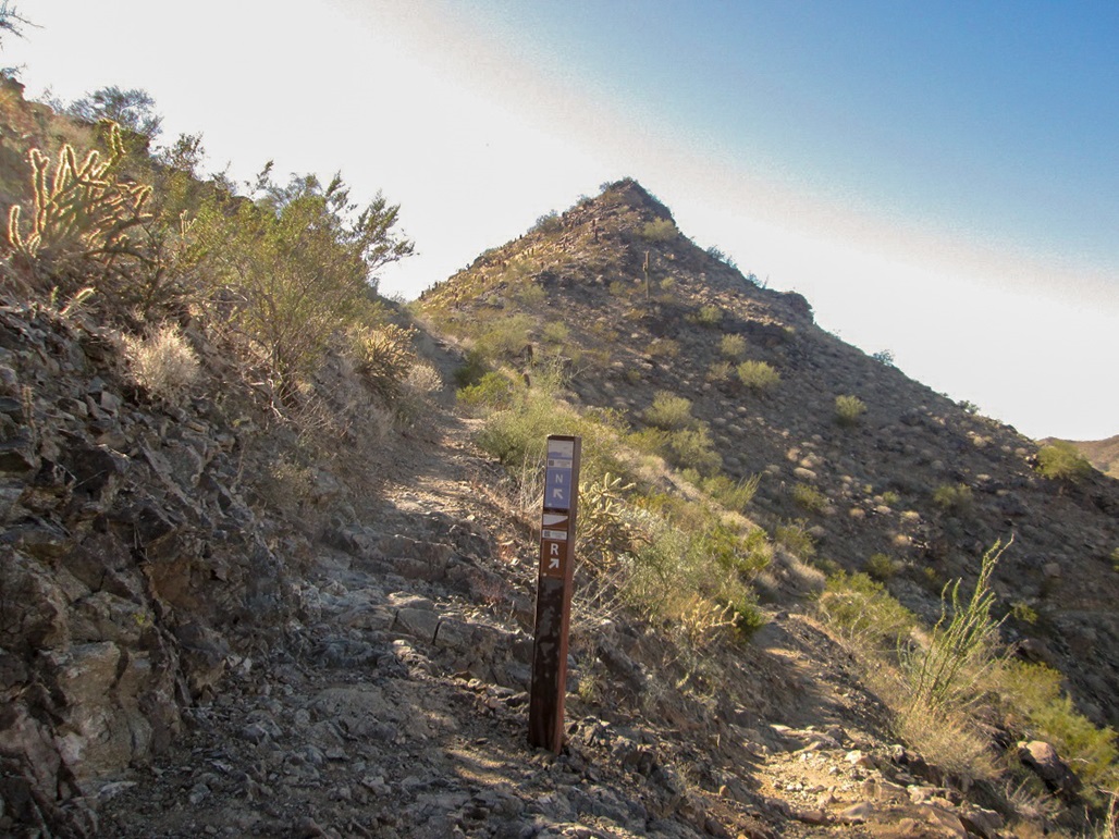
I followed the Ranger Trail south for 0.8 mile, going by the mileages at the trailhead sign and map. Here, the Ranger Trail intersects the Summit Road. There were no signs about trespassing here, so I went across the road, continuing on the Ranger Trail. This segment covers another 0.8 mile before reaching the National Trail at the range crest. To here, I had gained about 900 vertical feet in about 35 minutes. I met a few hikers coming down this trail.
Now on the National Trail, I proceeded west. The trail angles to the left of a small peak, traversing below this peak and a few more, all part of a single massif of which the westernmost bump is Goat Hill. The trail gains steadily but not too steep, and passes by one old mine shaft. About a half-mile from where the Ranger and National Trails met, I was now astride the summit, where a scanter side trail leaves the main trail for the top.
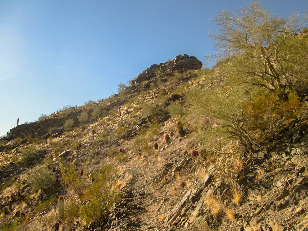
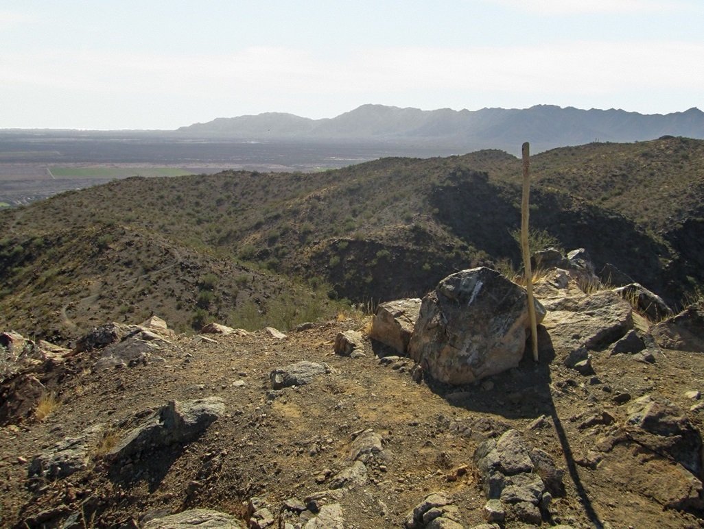
This side trail went well. It switchbacks at first, then barges directly uphill for the last 40 feet to top out on the peak, which is flat with one big rock being the highpoint. It had taken me an hour to get here, covering about 2.1 miles and 1,100 feet of gain. I was in no hurry so I took a longer than normal break up top, snapping photos, eyeballing nearby peaks for future visits, and trying to determine if another peak immediately west was higher.
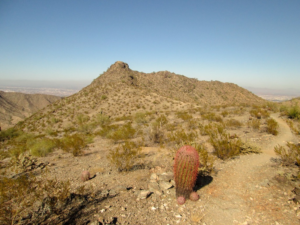
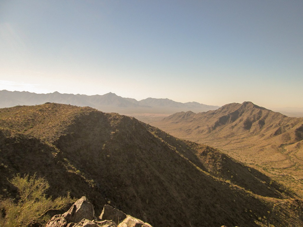
I was pretty sure I was at the summit here, but that peak to the west looked possibly as high. I water-bottle sighted to it and it seemed to be conclusively lower, insofar as my water bottle's accuracy is concerned. I descended back to the National Trail and decided to hike to this other peak, just to be sure. It looked about a half-mile away. I got about half way there, then decided I wasn't that interested, so I reversed course and started the hike out. The upside was I got some nice photos of Goat Hill.
The hike down went well, and took me about 45 minutes. Adding up all my times, I was gone from my truck just over two hours. The map at the trailhead labeled this western peak as Goat Mountain. I piled into my truck and drove home, got on the computer, brought up the topographical map and assured myself I had been at the summit where I was. Goat Mountain is labeled as 2,504 feet elevation, about 20 feet lower than Goat Hill.
This was a fun, easy hike, all along excellent trail. I've been to the South Mountains many times but it is a little far to go there regularly. I was happy to summit this little peak, and I was able to get a good birds-eye view of the surrounding peaks and trails for a future visit, as there are a couple more peaks here I'd like to hike.
|

|