
The Mountains of Arizona
• www.surgent.net
|
|
Green Mountain • Lizard Rock These two peaks rise high on the Santa Catalina Mountains crest, west of Mount Lemmon and convenient to the Mount Lemmon Highway. They are just a mile or two apart, both short hikes with easy parking logistics. I figured I could hike both in a three-hour window. I made a half-hearted attempt on Green Mountain in 2018, turning back about halfway up. This would be a good opportunity to climb it fully, then tag Lizard Rock as a bonus peak. That was the plan. I had a few hours this morning for the effort. I was in Tucson as a stopover, staying in a hotel. I didn't need to be where I needed to be until well into the mid-morning, so I got up very early and was on the road by 4 a.m., still dark, warm down below still in the city.
Date: June 17, 2022
• Elevation: 7,904 feet
• Prominence: 544 feet
• Distance: 1.2 mile
• Time: 90 minutes
• Gain: 635 feet
• Conditions: Pleasant
Arizona
•
Main
•
PB
•
LoJ
The early-morning start meant virtually no traffic on the roads and almost all green lights on Grant Road heading east. I made a few turns here and there and got onto the Mount Lemmon Highway, just as the sun was rising. It was a slow and enjoyable drive up the road, no traffic at all. The excitement was almost hitting a deer darting across the road higher up. As I neared Green Mountain, the outside temperature was just in the low 60s, kind of warm for this high elevation. The state is in the monsoon pattern with consistent clouds, and although calm for now, the clouds were still in abundance, acting as an insulator, keeping in the ambient heat. But low 60s is comfortable, so I had no complaints.
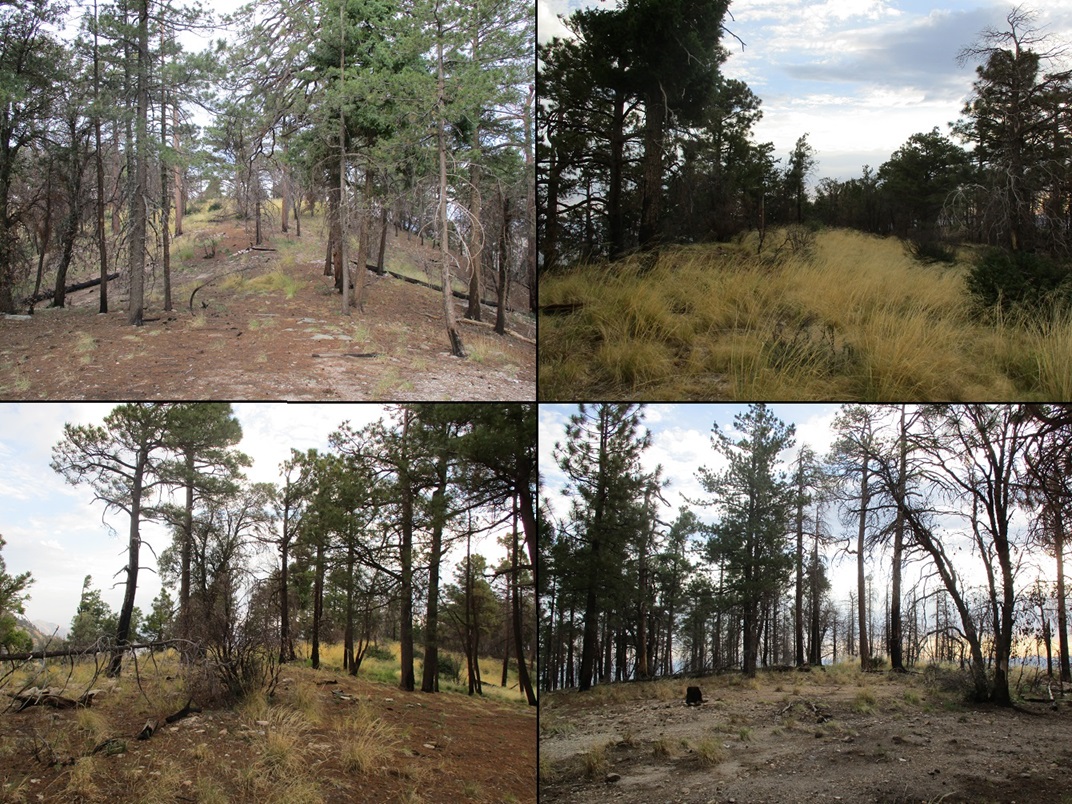
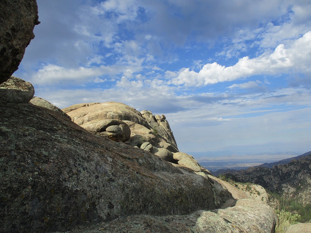
I parked in the Upper Green Mountain Trail parking lot, the only one here. I was dressed quickly, starting up the trail a little before 5 a.m.. I followed a steep trail uphill to a saddle, then a branch trail up the northwest slope of Green Mountain, until it abutted a rock outcrop and ended. This was as far as I got in 2018. To here, I had not hiked far, perhaps 0.3 mile.
In 2018, I made a few attempts to locate the continuation of the trail, or any path, or anything suggesting a route, but had little luck, and since I was with my wife and she was down below doing her own explorations, I did not want to waste time looking for ways up. So I bailed and hiked down to hang with the missus.
This time, I was a little more determined to find a way up. I tried a couple things, but hit dead ends. Nothing looked "right". So I inched upward, making it up as I went along. Then I found what looked like a very weak path, so I followed it for about twenty feet. Then lost it. This was the theme.
It became evident there is no path, per se. The climbing here is just a matter of hugging the big rocks and jumbled cliffs and looking for passages and ledges. I'd do that, see a path, follow it, lose it, and repeat. The climbing itself was just steep but not technical, nothing Class-3. The challenge was the loose tread of the paths. At times, I had to sit and scootch up the loosest of paths, where the runout below was too much to confidently walk it, in the event of a slip and slide.
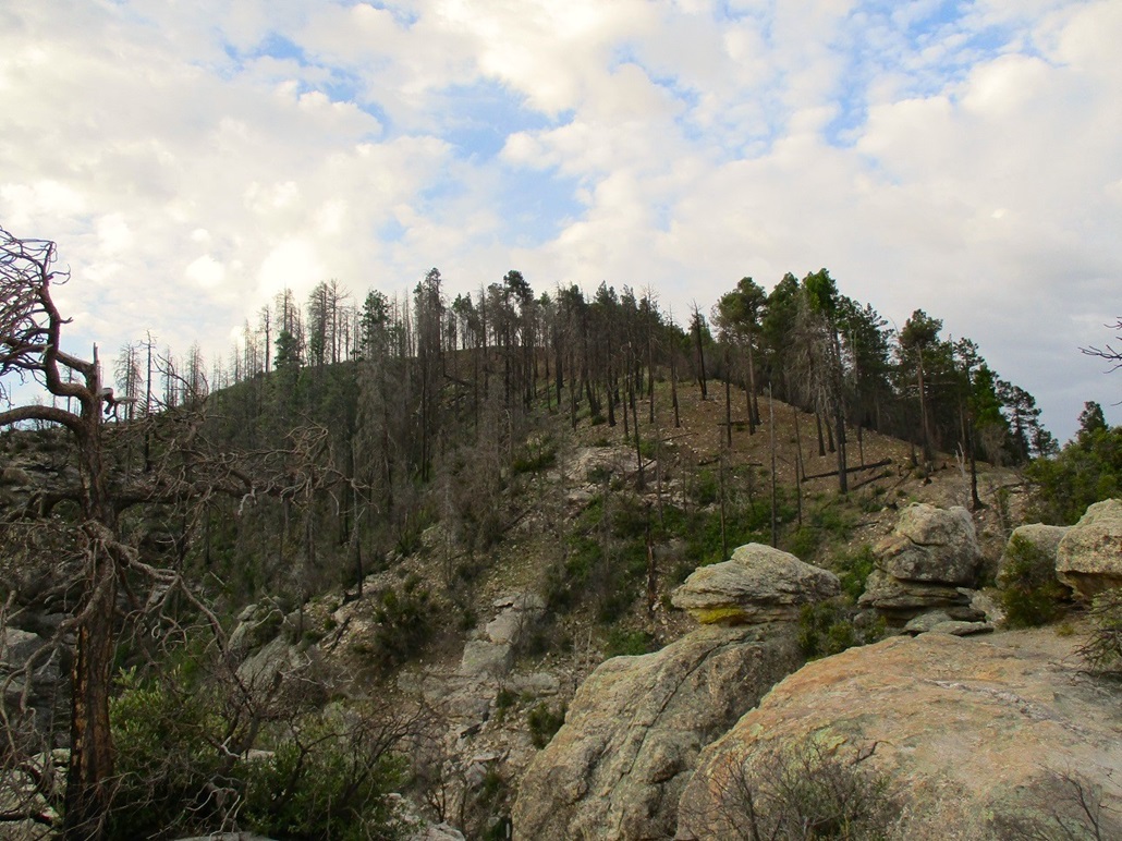
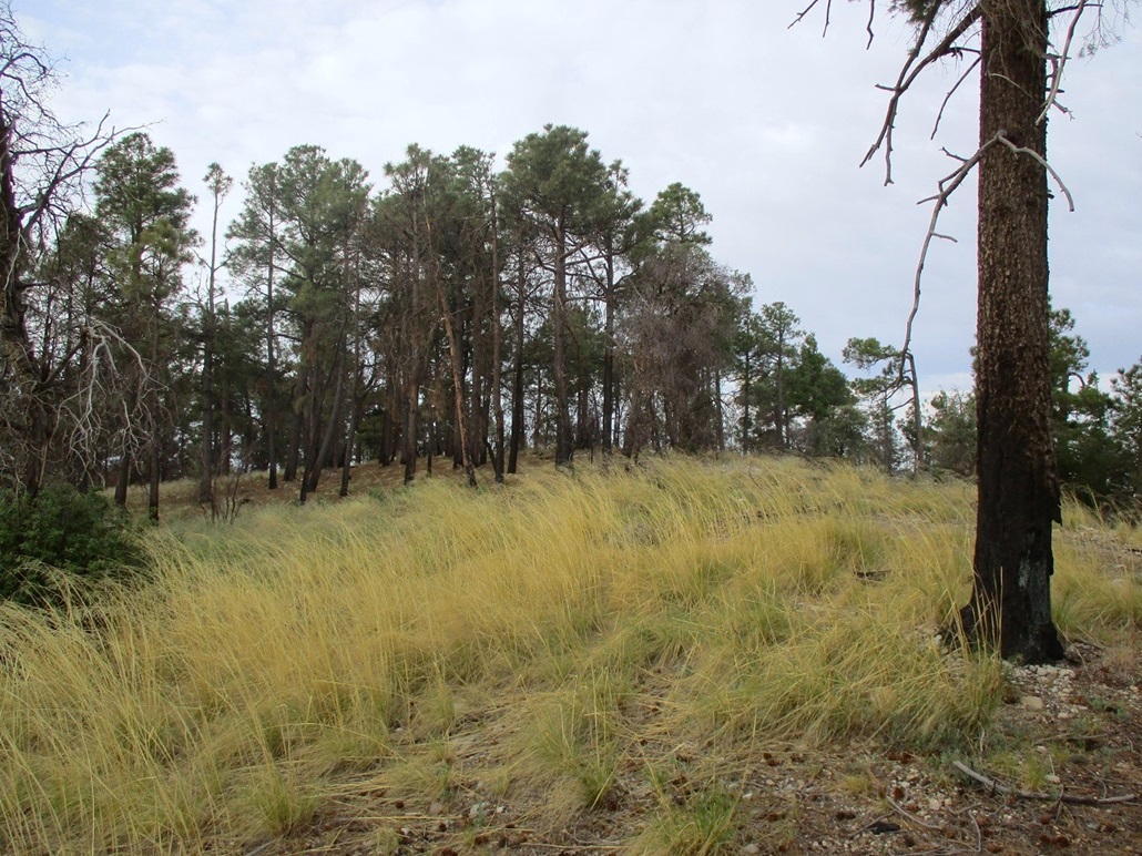
This went on for not too long, perhaps 20 minutes. Slowly, the gradient lessened, the rocks gave way to more trees, and I was soon above the rocky section. I was on a spit of rock protruding off the north slopes of Green Mountain. I walked along this rocky ridge toward the forest up ahead, the summit still a short walk away, and about a hundred feet higher. The forest was burned, but some trees were still green, and the grass was thick in spots.
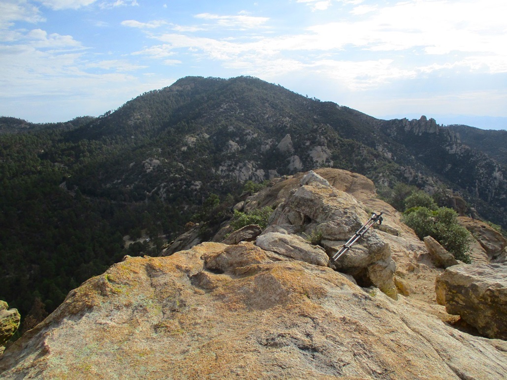
I was quickly on the highest ridge, and tagged any bump that looked highest. There appeared to be three hilltops that could have been the highpoint, the middle one with a metal apparatus on it. It was cool up here and I didn't stick around. I kicked any rock that looked like a highpoint, and just as quickly, started downhill.
I wanted to get started down the rocky section while I still remembered "my" route. On the ascent I had noticed a few small cairns and even some pink ribbon, and descending, I saw more, but my sense is that these were the routes put in by others, each following their own senses upward. I wanted to follow my route down. I was in no mood for surprise cliffs or dead ends.
The down climb was more a down-scoot. I did not trust the loose tread one bit. It wasn't pretty, and I went slow, but I was soon down off the rocks and back to the trail, then back to my car, a round trip of about 90 minutes. The climb had gone well and I was pleased to get this one in the books, but have to admit I didn't much care for it. This one was a definite one-and-done peak.
Back at the car, I spend a few moments picking off burrs and other small things that had gotten into my shoes and my clothes, then drove the mile or so to situate myself for Lizard Rock.
Elevation: 7,324 feet
• Prominence: 324 feet
• Distance: 0.9 mile
• Time: 45 minutes
• Gain: 345 feet
• Conditions: Clear
PB
•
LoJ
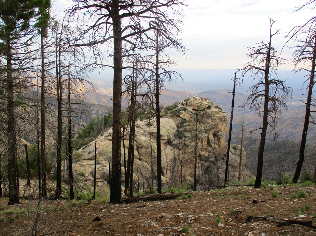
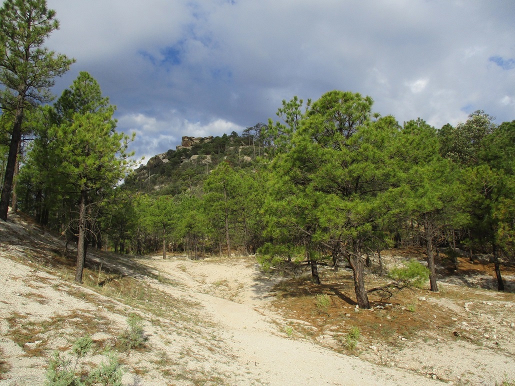
Lizard Rock is a rocky summit overlooking the Mount Lemmon Highway where the highway makes two very long switchbacks, the road the steepest below Lizard Rock. The trailhead is just a small parking pullout north of the peak. The trail starts from here.
I started up the trail, following my nose upward and ignoring the side trails splitting off to everywhere. The trails are not maintained, just footpaths beaten into the hillsides over the years. I was soon below the lowest of the rocks, and when I found a way up into the rocks, I scampered up and left the trail behind.
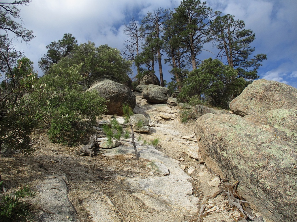
This little sections was steep but not bad, a mix of large and small rocks and a few trees in the voids. I trudged upward to the base of the first significant rock outcrop. I was now on the highest ridge, all rock by now.
At this outcrop, I went left but hit a dead end, so I returned, then went right and skirted this outcrop along a ledge, then up a little more weathered rock, now on the high ridge itself. The summit was just ahead.
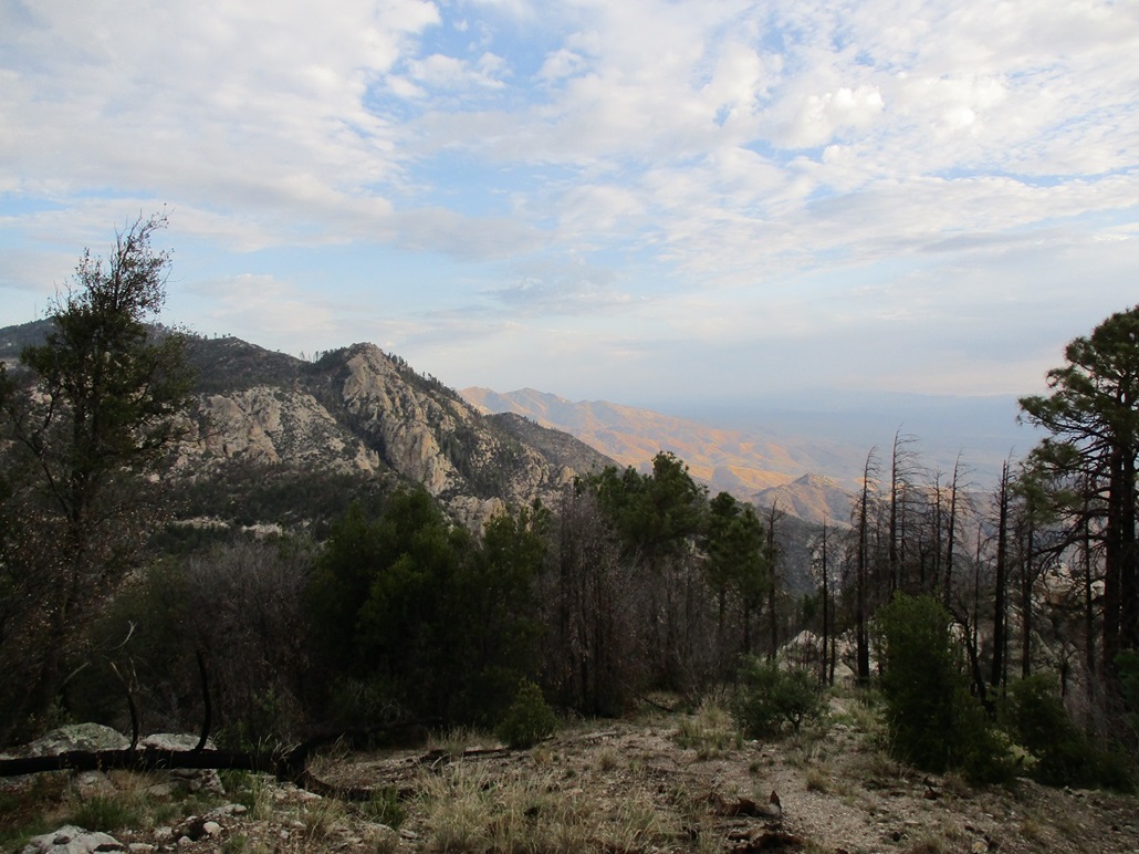
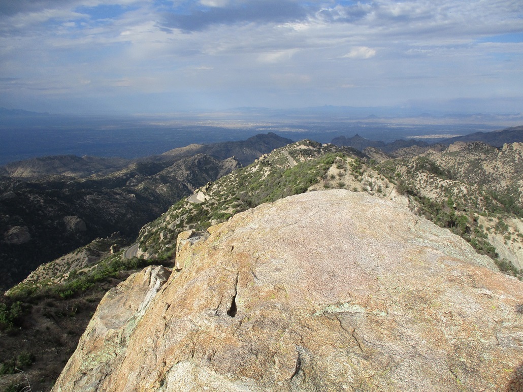
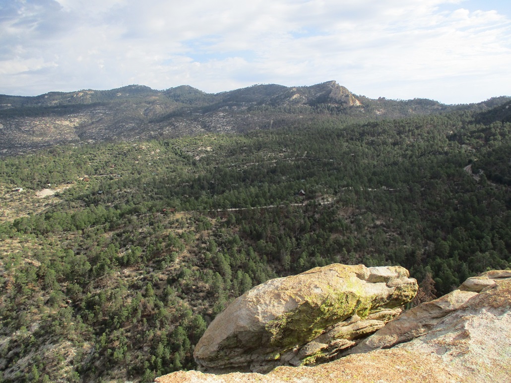
The climb to the top was enjoyable. The rock itself laid back well, had great friction and was wide enough to not scare me. At the very top, I had to perform a very minor scramble and was quickly on top the peak, the summit just a rounded hump of bare rock. Views up here were fantastic, overlooking Tucson, then looking back, a good perch to take in the high peaks along the Catalina Crest.
After a momentary rest and a couple photos, I started down, and was back on the trail. I must have missed a turn because I came out to the road about two hundred feet from my car. I walked back to it, rested, pat myself on my back for being such an accomplished climber, then started the drive downhill. I stopped at an overlook lower down to change into more comfortable driving clothes, plus to enjoy the views. I was pleased to get these two peaks completed, and they make a fine pairing as they're so close to one another. A light drizzle started as I hiked down, but nothing steady, just a few spritzes of water. Looking east, there was more rain and virga over by the Rincons.
Everything worked out well. I was back into Tucson proper a little after 8 a.m., still on schedule for my morning's affairs. I also took time to scout a few other peaks in the foothills for future visits. I don't get to these peaks often, but given that I seem to be passing through Tucson more often these days, I'll probably stop in to hike more often, but will likely wait for the weather to cool and the monsoon to dissipate before I come back for more.
|


|