
The Mountains of Arizona
• www.surgent.net
|
| Heliograph Peak |
• Pinaleño Mountains • Coronado National Forest • Graham County |
|
Date: May 13, 2005
• Elevation: 10,022 feet
• Prominence: 942 feet
• Distance: 4 miles
• Time: 2 hours
• Gain: 960 feet
• Conditions: Clear, plenty of snow still
Arizona
•
Main
•
PB
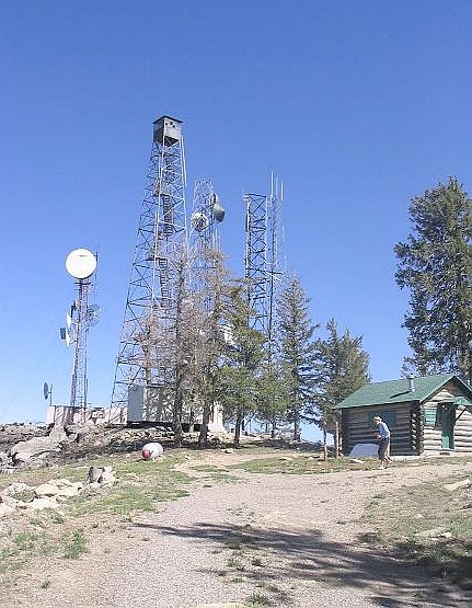
Heliograph Peak is a subsidiary summit of Mount Graham in the Pinaleño Mountains. There is a good forest road to the top (servicing a lookout), and the peak is probably the best in the range for summit views, given that Mount Graham itself is off-limits and wooded (before it was burned), and the other high peaks are usually wooded too.
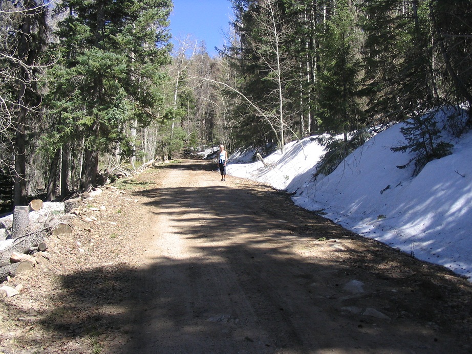
We came here for a day of hiking, and later, a visit to the Essence of Tranquility natural hot tubs in Safford. We left home around 9 a.m. and arrived to the trailhead around 1 p.m. in lovely, dry and stable weather.
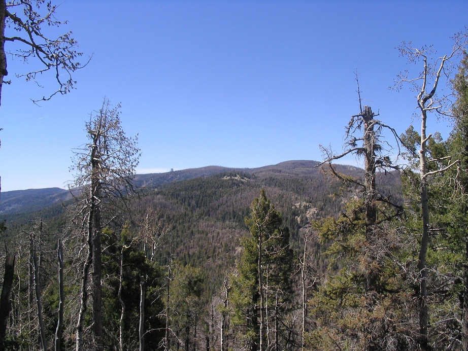
The hike to the summit follows the service road. The road is pitched at a very lenient grade and we made the 2-mile hike in about an hour. The big Nuttall-Gibson Fire from 2004 had scorched the peak's north face but had not touched its east and south slopes. The summit has tremendous views of the Gila River Valley and of far-off ranges such as the Whitlocks and Peloncillos.
I took photos of Mount Graham and we viewed the damage wrought by the fire. Not pretty, but heartening to know the forest always recovers, and we saw new green amid the brown and black-colored slopes. Still, it will be many years before the area can be deemed recovered. The hike down went fine and we were back to the truck by 3:30 p.m.
I always wanted to drive the road to its end at Riggs Lake, so we did, and it was worth it. It is dirt for the last 12 miles, but in good condition, and after an hour, we came upon Riggs Lake, a small lake popular with campers and anglers. We just wanted to see it. Once there, we immediately turned around and started the 35-mile drive down off the mountain, aiming to be down and to the hot tubs by 6. We made it with minutes to spare.
|

|