The Mountains of Arizona
• www.surgent.net
|
|
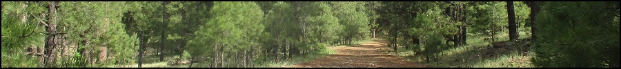
Peak 8147 • Hollingshead Mountain Peak 8147 lies south of Mormon Lake Lookout along Lake Mary Road. It is one of the higher summits on the Mogollon Plateau, superceded by Hutch Mountain and a few of its surrounding peaks. I came up here today for a morning of peakbagging, aware a storm was due to arrive in a couple days, the first chance for snow up here this coming season.
Date: October 24, 2020
• Elevation: 8,147 feet
• Prominence: 427 feet
• Distance: 1.5 miles
• Time: 50 minutes
• Gain: 520 feet
• Conditions: Cool with a strong breeze and high clouds
Arizona
•
Main
•
PB
•
LoJ
It's roughly 60 miles from Payson to here, here being Coconino Forest Road 124 along Lake Mary Road, a couple miles before Lake Mary Road drops into the Mormon Lake basin. I left home at dawn and was here by about 7:30, the temperature ranging between 35 and 50 degrees, going by my car's temperature display-o-tron. The sky was blue with a band of high clouds to the east, blocking the sun, and there was a steady stiff breeze.
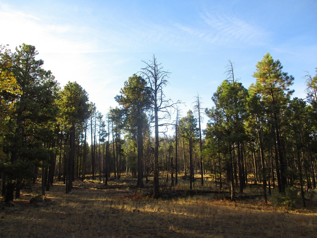
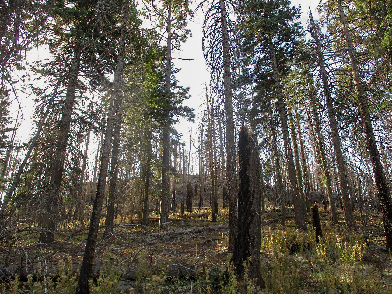
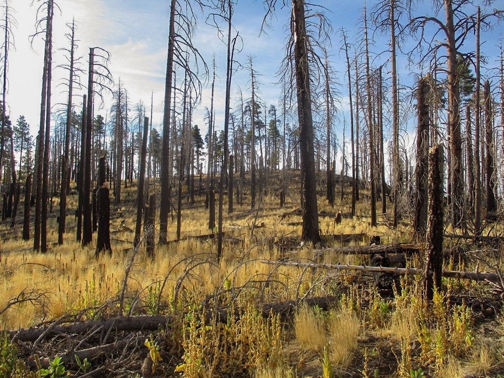
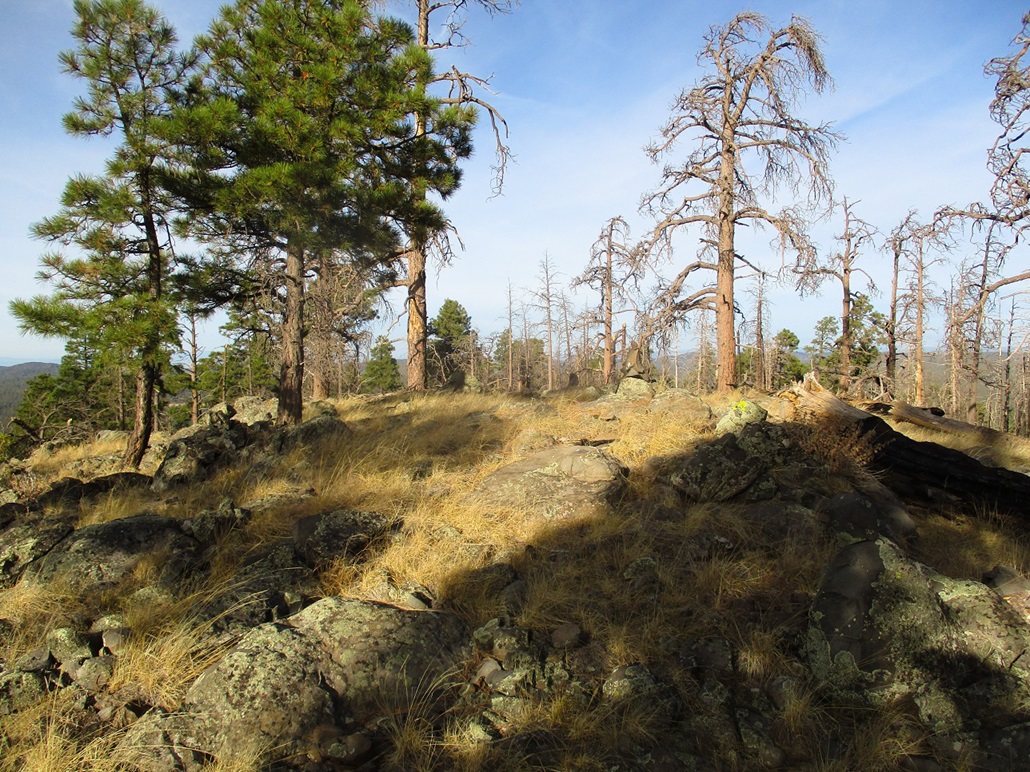
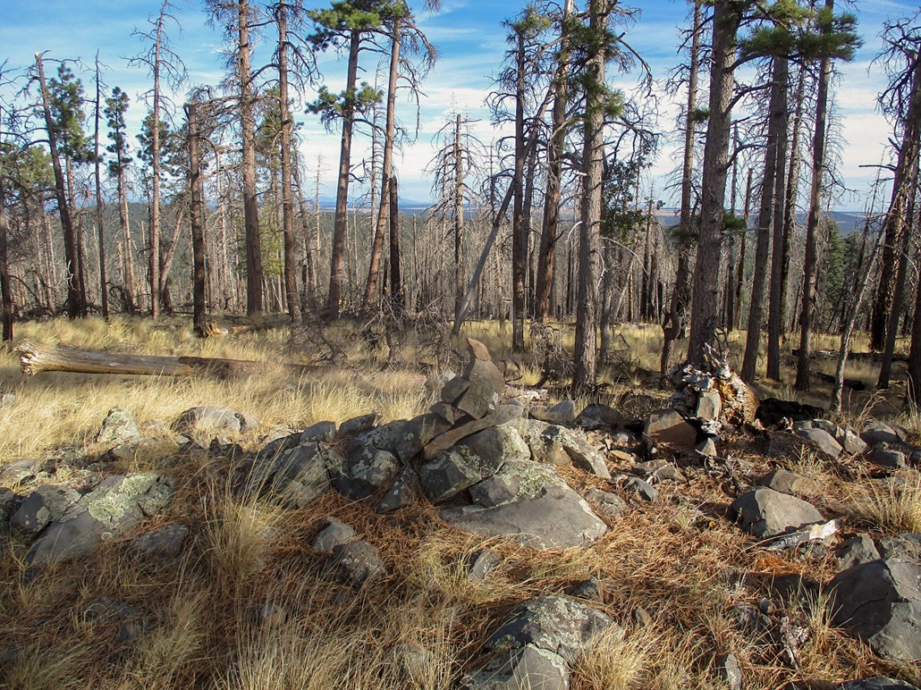
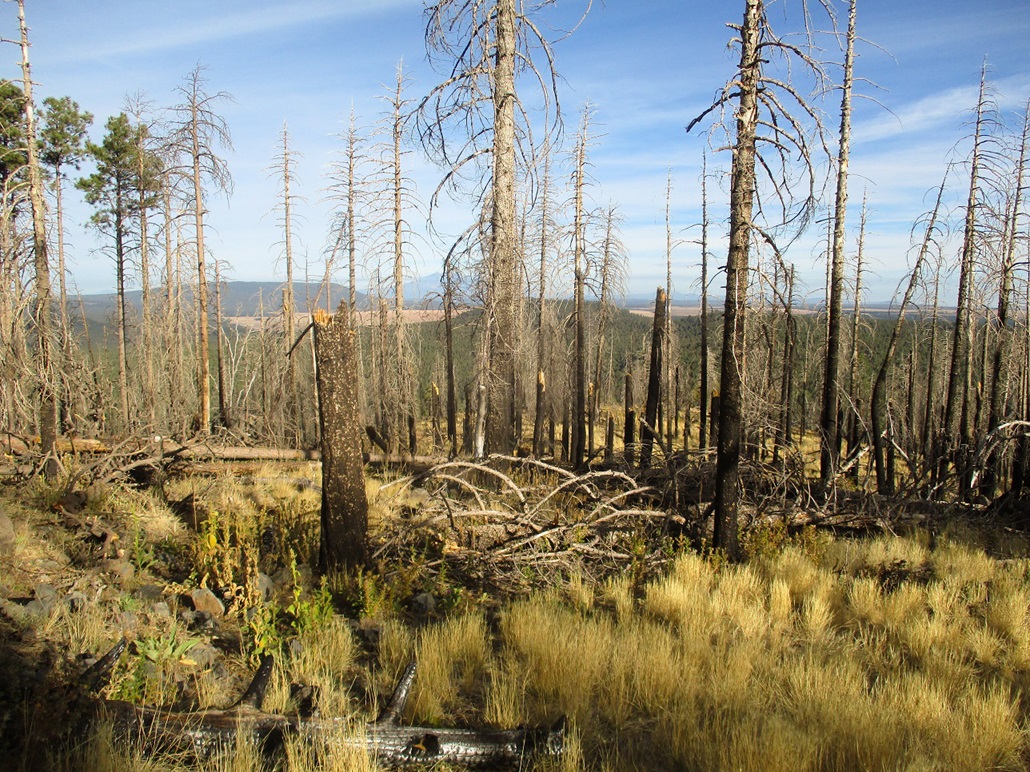
I drove along FR-124 about a mile, to where it gains elevation and achieves an apex at about 7,620 feet. I drove a little ways farther, seeing where the slopes may be more open. The apex itself was a good choice, so I returned to it and parked in a small clearing, got suited up and was walking at 7:50 sharp. I was looking at three-quarters of a mile each way and about 500 feet of gain. The forest appeared to have clearings in spots, which turned out to be true, the result of a fire from years ago.
I walked into the trees and followed open lanes whenever I could, zig-zagging much of the way. The undergrowth was light, mainly grasses. There were lots of rocks and a fair number of downed logs. Midway up, I encountered patches of thistle plants, where walking through them was easy, but their burrs caught on any clothing south of my equator.
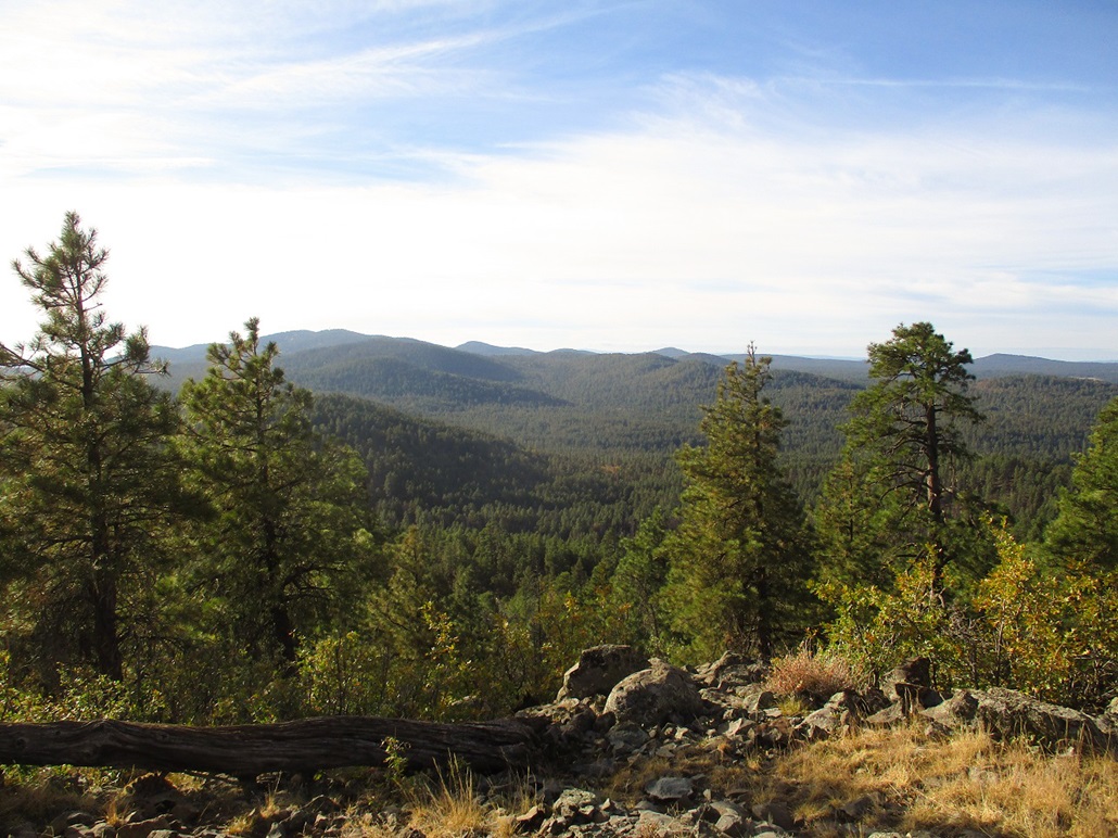
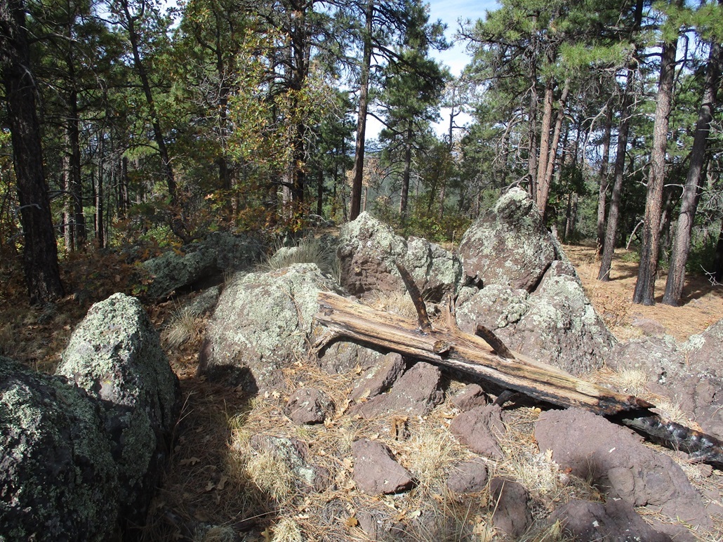
I aimed for a rounded rock band up ahead, then once above it, the small hilly summit was a few dozen more feet ahead, the forest here more open due to the old fire. I was on top in twenty-five minutes. The top is open with good views to the south of Hutch Mountain and surrounding peaks. The top itself is rocky with a couple cairns. I spent five minutes up top.
Going down, I followed the same general route, and was back to my car in twenty minutes. I had caught hundreds of those burrs in my socks, leggings and shorts, so spent a few minutes at the car using a small comb to "unburr" them from my clothing. The hike itself was fun and easy, a good one to include if tagging other summits in the area, or camping, as there are a number of good spots along the roads.
From here, I drove south a few miles to visit Hollingshead Mountain.
Elevation: 7,343 feet (per LIDAR)
• Prominence: 297 feet (per LIDAR)
• Distance: 5 miles
• Time: 2 hours
• Gain: 370 feet net, 650 feet gross
• Conditions: Sunny but cool and windy
PB
•
LoJ
I had hiked Peak 8147 earlier, then drove south to take a look at Hollingshead Mountain and possibly nearby Banfield Mountain. Both lie south of Buck Mountain Lookout, which I'd hiked a few years ago.
I wanted Forest Road 81A, but got sidetracked by following FR-81, which is better signed and I assumed it was what I wanted. It wasn't, so I drove north a little to FR-229, which goes to Buck Mountain. Maybe I could find a side road from there toward Hollingshead, but quickly determined it would not be worth the trouble. Back on Lake Mary Road, I randomly tried a couple lesser tracks and found FR-81A, its little sign partially hidden by brush. This cost me a half hour of futzing around.
Now on FR-81A, I followed it in about a mile, going left at the first junction and right at the second (signed "Hollingshead Butte, 3"). The road was rocky, then smooth, then rocky, and so on. I followed the road in until I came to a rocky stretch too much for my car. I backed in to a cleared area and started hiking about 9:30 a.m., the weather sunny and moderate but with a steady breeze. I was about 6,990 feet elevation.
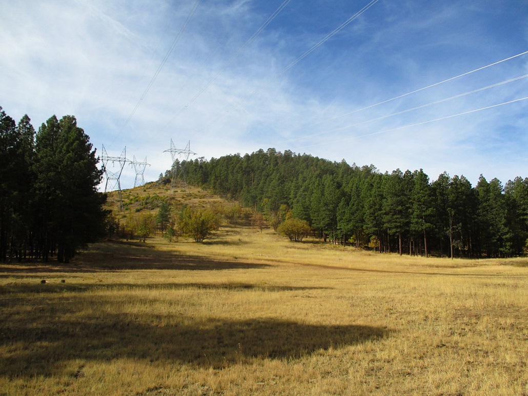
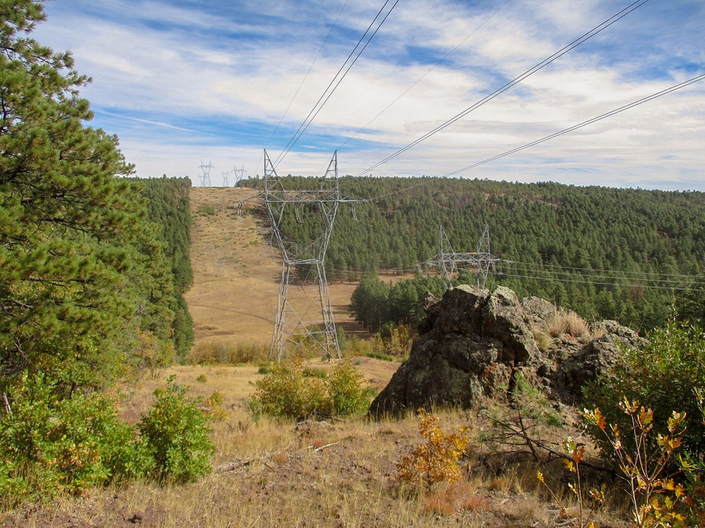
I walked FR-81A, the road never really improving. It gains gently to its apex at 7,147 feet, then drops about 140 feet toward a large clear-cut where power lines run through the area. This segment covered about 1.5 miles. There were a couple stretches where a Jeep would be needed.
In the clearing, I walked along a fenceline into the broad open, where I could see Hollingshead Mountain clearly, less than a half-mile away. The power-line clear cut went up the peak's east slopes, getting close to the top. As homely as the clear cut was, it would offer an open route to the top.
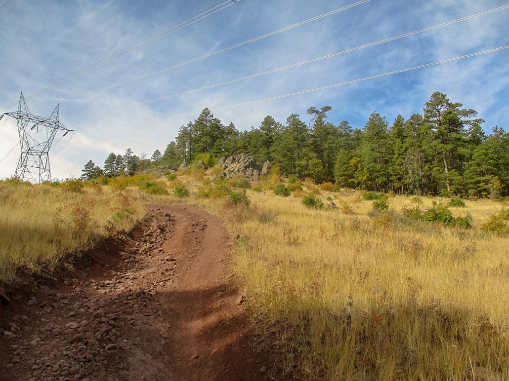
I got myself onto a dirt road, one that evidently parallels the power lines along the clear cut. The road itself is not straight, but wiggles, adding distance. I walked it uphill, reaching its apex, admiring the big power-line stanchions and the buzzing of the power lines. I passed through a gate here, then walked uphill through light brush and rocks to the top, about a 120-foot gain from the road. The top was rocky and not unattractive, better than what I was expecting. There is a register, so I signed in. The last people here were here about four months ago. Signatures went back 15 years, not too many, some I knew, others being hunters.
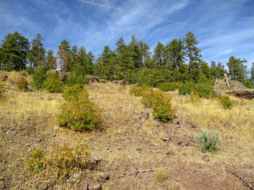
There weren't good distance views from here, but the immediate area was mildly interesting, which was rocks with lichens, the trees not too thick. There were some good sitting rocks too. I did not stay long, perhaps 10 minutes, long enough to read the register, snap some images, have a snack and look around.
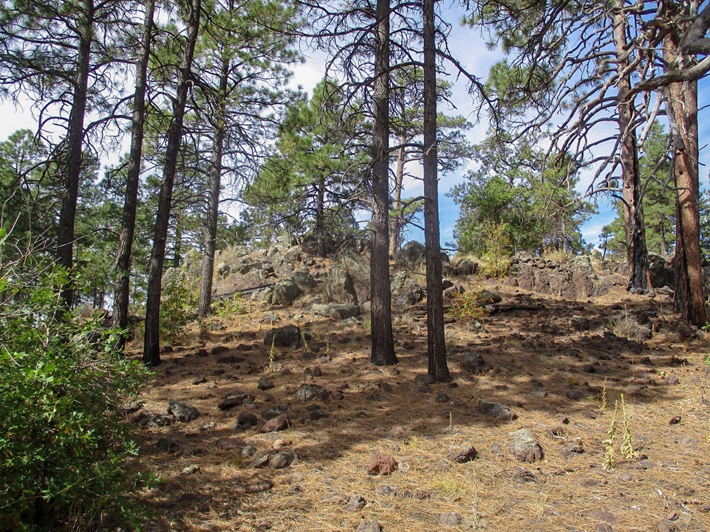
I descended the same way, but instead of walking down the power-line road in the clearing, I angled more east into the forest, where I would catch the road no matter what. One interesting feature here was a volcanic rock band about 300 feet long, about 10 feet wide and ranging in height about 6 to 20 feet. It appeared to be a rock dike. I came upon the fence and walked it back down to the edge of the clearing, then back to the main road, where I stopped for another break. Then, the walk back to my car. There was a couple with their dog out walking. I was surprised to see anyone here. I was back to my car at 11:30 a.m., a 2-hour hike covering about 5 miles if I account for the wandering.
So what about Banfield Mountain? Once I was at the road's apex below the power lines, I looked over at Banfield and immediately lost interest. It is about a mile away, but would mean a 400-foot drop from here, then much more uphill hiking in forest, then gaining back that 400 feet. Had I been able to drive in closer, I may have gone for it. Also, it appears that FR-81 may be a better approach anyway. I have no plans to tag Banfield soon, but I probably will at some point.
My drive back to Payson took an hour and went without any incidences.
|


|