The Mountains of Arizona
www.surgent.net |
|
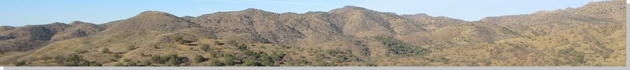
Ivanhoe Peak (Peak 4948) • Patagonia View Peak My agenda for today were two peaks at the southern tip of the Santa Rita Mountains, both barely inside the Coronado National Forest boundary. I've hiked the other peaks surrounding these two, so I wanted to come back and clean up this last pair. Neither was worth the drive as a solo hike, so combining the two into a single outing made better sense. I was on the road somewhat early, the sun still mostly below the eastern horizon. By the time I was in Sierra Vista, it was up. The day was looking to be sunny, clear and moderately warm for February, highs in the low 70s. At the moment, it was chilly, in the 40s. This time of year, it warms by 10 degrees in an hour once the sun is up. In Patagonia, I went north on 1st Street on the east edge of town, the road also called Temporal Road, which leads to the Temporal Trailhead, one of the let-in points for the Arizona Trail. I was here a couple months ago hiking two peaks to the north. The road I wanted was one north of the side road to the landfill. The road is gated with a sign requesting to keep the gate closed, and another sign prohibiting woodcutting. I eased the car in past the gate and got about fifteen feet in, parking in a tiny clearing. The road itself drops steeply and is rutted and rocky. My Subaru would not handle it and I had no intention to chance it. My car would be parked visible to the main road, but I knew it was safe behind the scraggly wire-stick gate. I got suited up and the pack together, and started walking a little before 8 a.m.. It was lovely for the moment, sunny and cool, with no breeze. I wore a flannel shirt over my hiking shirt but soon would strip it off as it warmed.
Date: February 17, 2025
• Elevation: 4,948 feet
• Prominence: 348 feet
• Distance: 5.4 miles
• Time: 3 hours
• Gain: 1,220 feet (gross)
• Conditions: Sunny and pleasant
Arizona
•
Main
•
PB
•
LoJ
•
Mine information
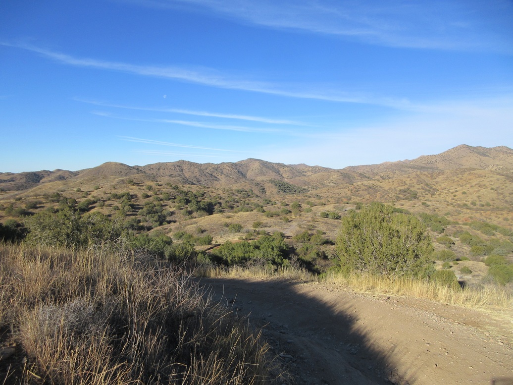
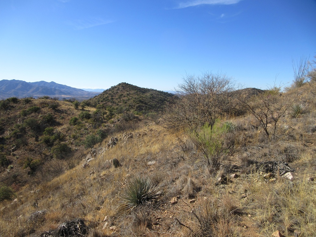
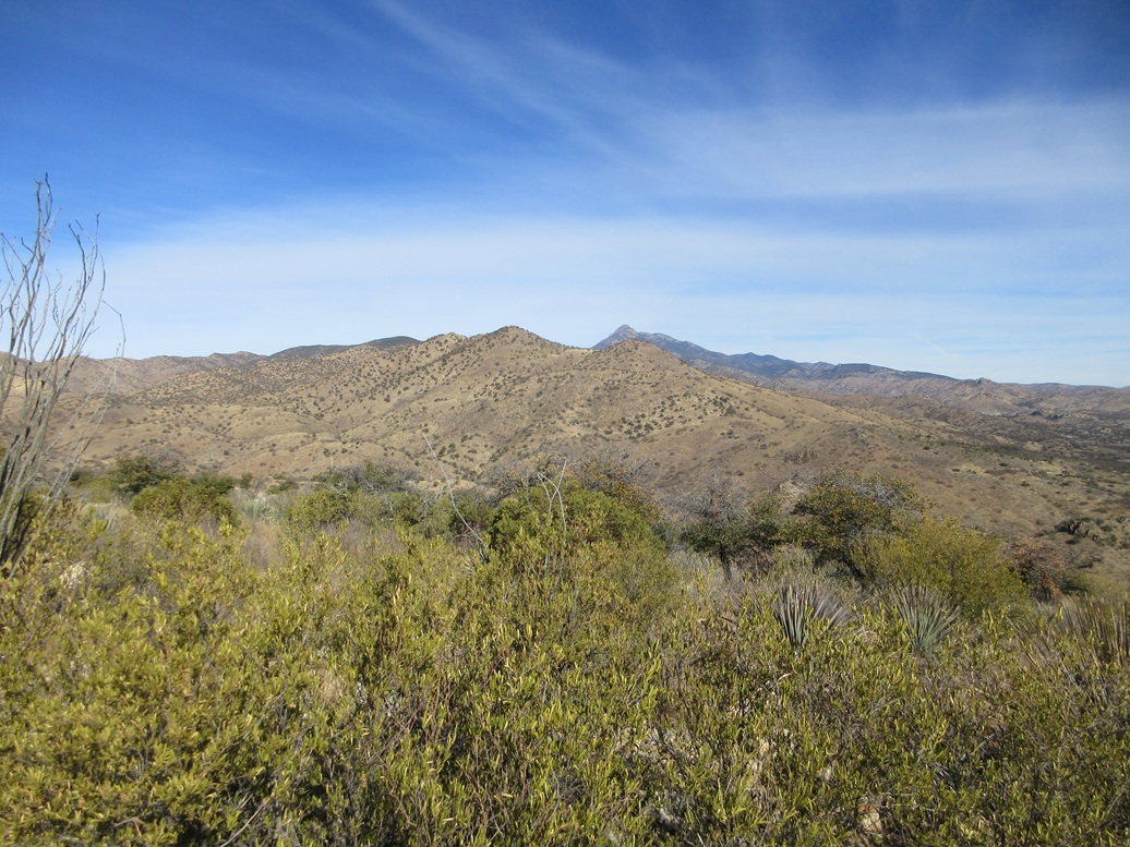
Peak 4948 rises a couple miles to the west, basically a hill laying atop a series of ridges emanating off the main Santa Rita range. The hill is easily seen but does not stand out above the ridge much.
I hiked down the road, dropping about 220 feet overall in less than a mile to a lowpoint near Fresno Spring in Temporal Gulch. The road was messy and only a Jeep or similar would be advisable on it. Within the creekbeds, it mixed in with the gravel and rocks. I passed the National Forest boundary along the way, a gate marking it.
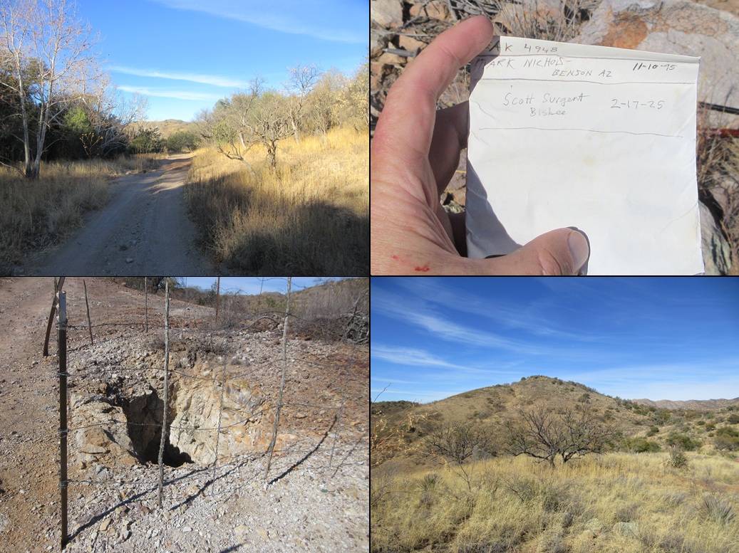
The road then ascends out of the gulch bottom and starts a steady incline toward the peak. I hiked in another mile or so, to a point directly north of the peak. Along the way I passed an open vertical shaft, some ancient fencing guarding it from people like me. I dropped a rock into it and it took almost a second to hear the thud, suggesting a drop of thirty feet at least. I could not see in, and did not want to lean over to find out.
Between the road I was on and the peak was the continuation of Tempral Gulch, and it appeared I had no choice to drop in and up the other side as it all looked about the same. So I picked a ridge to follow down, then onto steeper slopes into the creekbed itself, a loss of about 160 feet.
I found a meager animal track that led up a bad slope, so I followed it. The tread was loose and unstable. I got up about a hundred feet to where the slope lessened slightly, now more grassy so that the dirt and rocks held together slightly better. It was still loose with rolling rocks, but not as severe as below. I decided I would not descend this way.
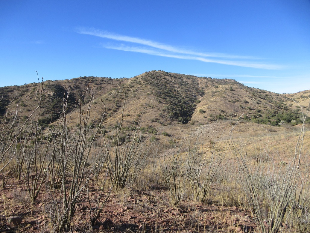
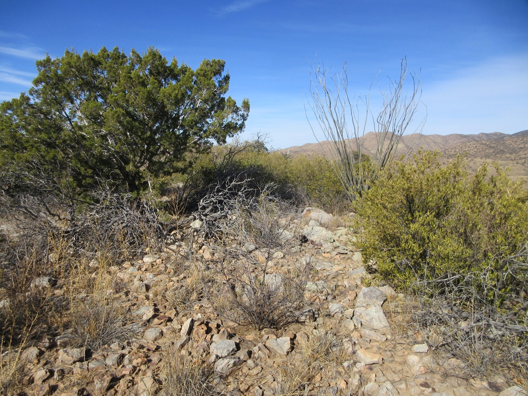
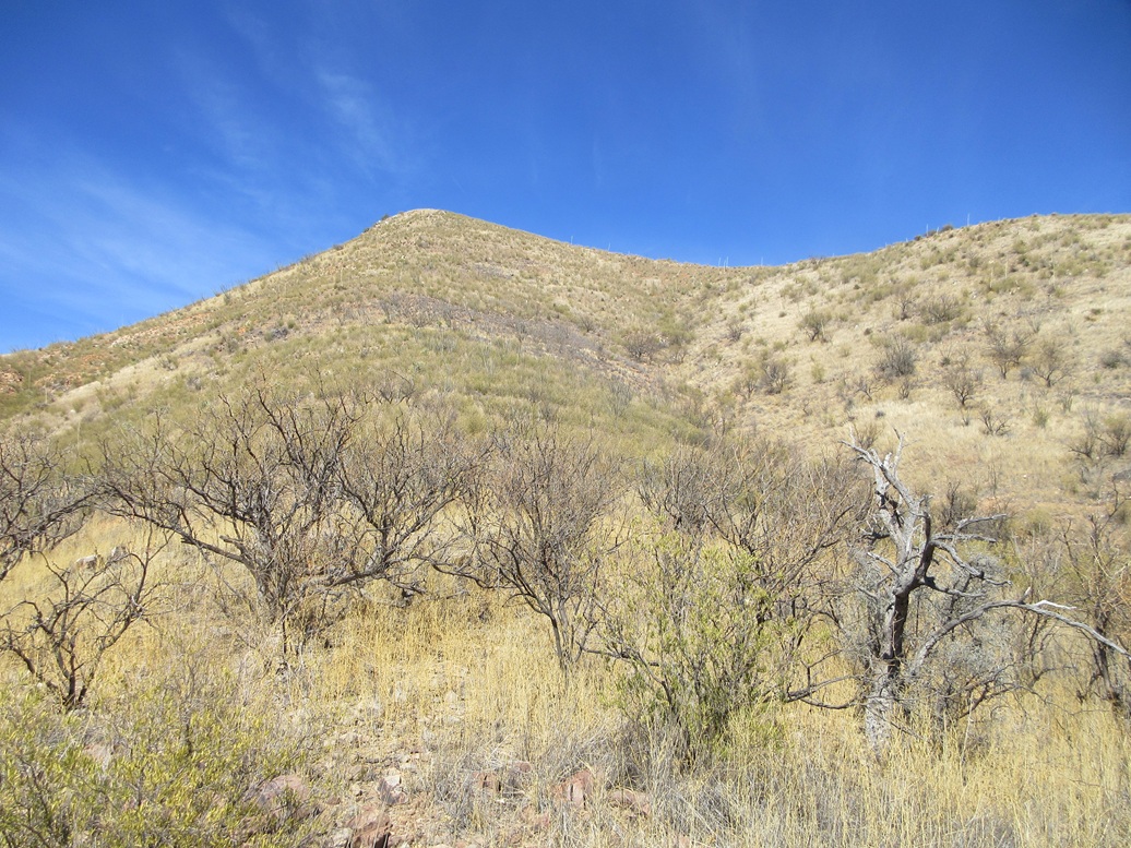
I marched uphill through moderate brush, sometimes thick enough to stop me. It was abundant grass and low woody scrub. The trees are scattered and featured a lot of emory oak. Ocotillo and small cactus was everywhere.
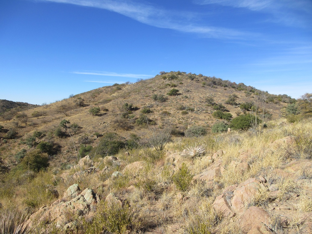
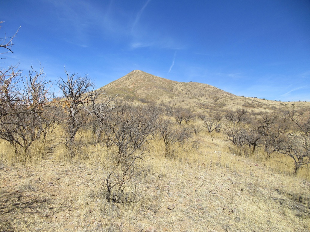
In time, I gained up to the high ridge, the top still hidden. I could see a subsummit to the south, marked "USMM 3777" on the map. I angled around the hill I was on and finally saw the peak ahead of me. I had to go to the far end of the hill I was on to find a place to access the peak, there being a small but messy ravine in the way.
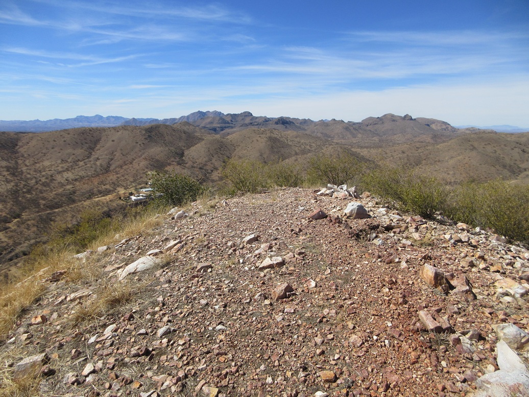
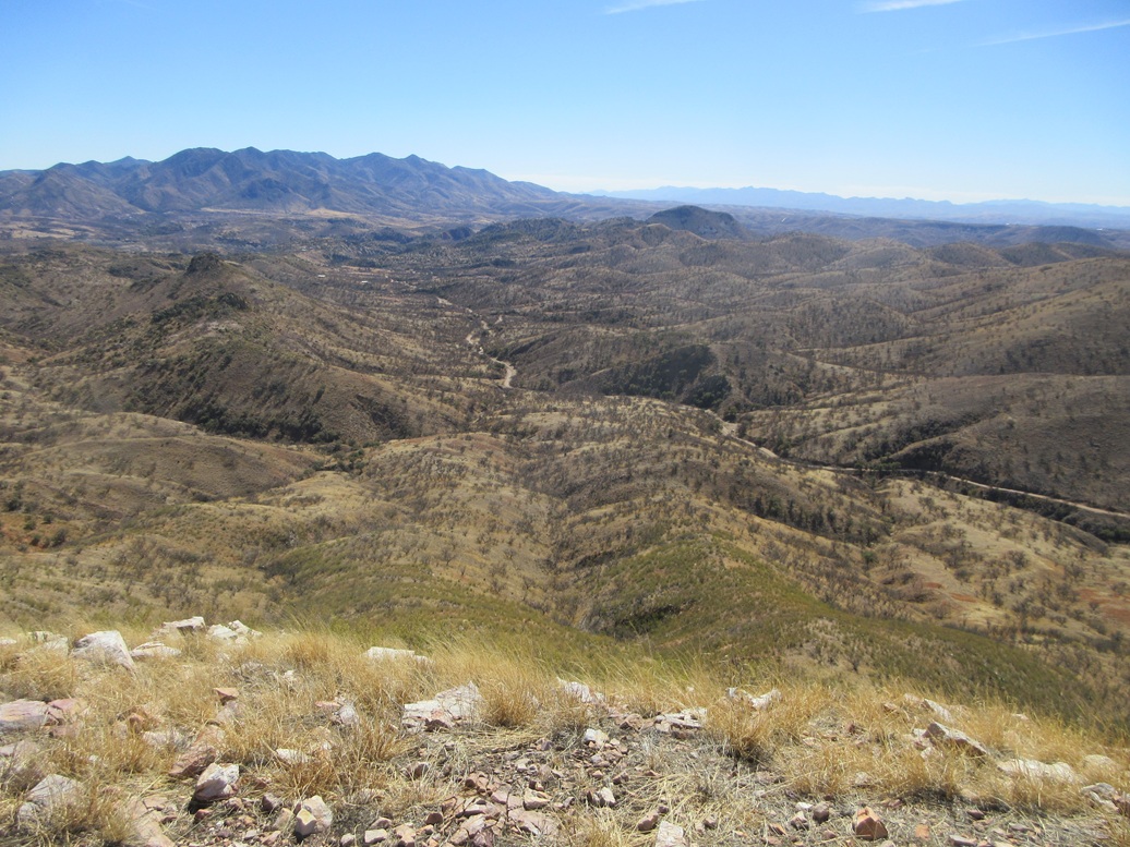
The hike up the summit hill was easy, with very gentle slopes. Brush was about the same. The top is rocky with some brush and a lone tree. The views were excellent, especially of Mount Wrightson to the north. Completely bare of snow I should mention. It should be covered in snow in February. This is not a good sign for the summer.
I found a register bottle just lying on the ground a few feet from what I took to be the summit. Opening it, I was amused to see I was just the second to sign in, the first since Mark Nicholls in 1995. Bob Martin has been up here, likely with Mark or about the same time frame. I find it hard to believe I'd be the first person up here in 30 years, but I think it's safe to assume very few people get up all this way. Not even hunters.
I built a cairn near the top rocks and situated the register within it, for the next person in 2055. I took a few minutes to relax and shoot images and have a snack break. The weather was beautiful, temperatures in the 50s with no breeze.
The peak and ridges lie within a private inholding surrounded by the National Forest. This was the location of the old Ivanhoe Mine, which you can read about at the link above. I decided that since no one else has been up here in thirty years, I would get to name the peak, so I named it Ivanhoe Peak.
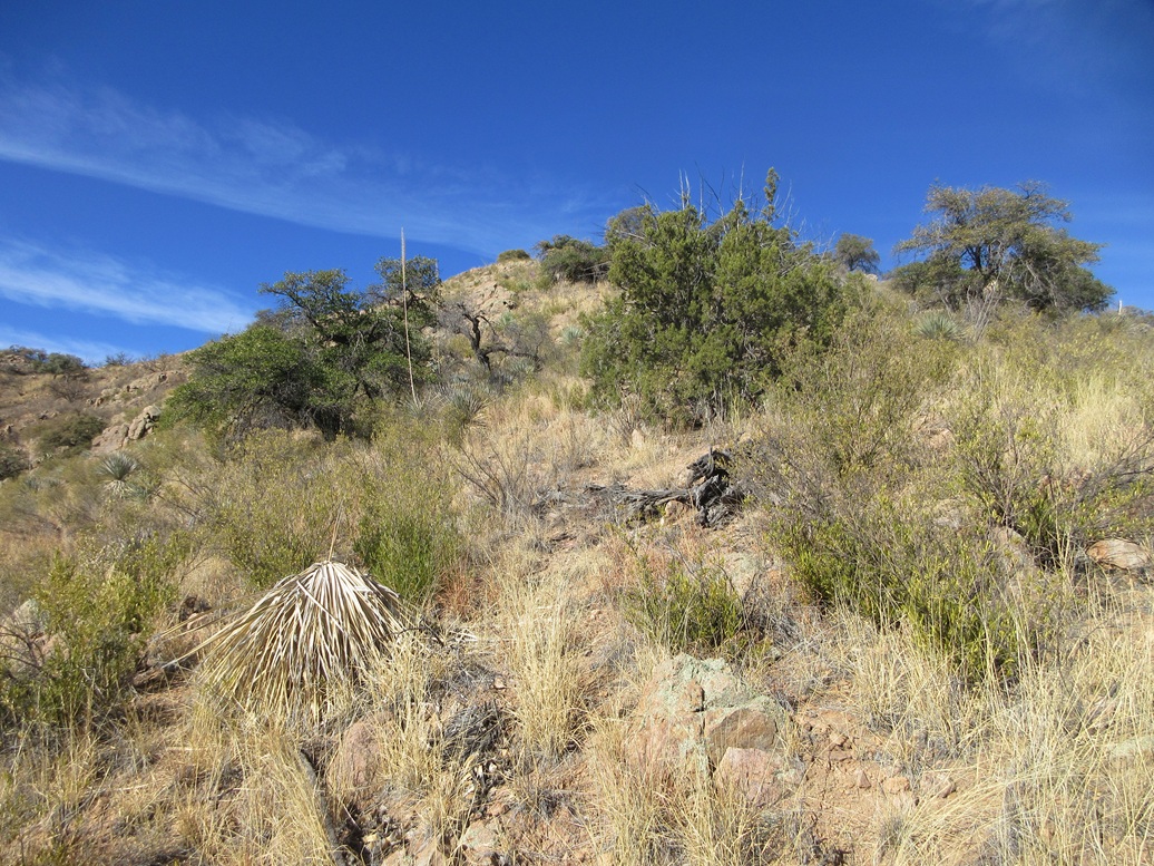
Going down, I stayed high on the ridge and trended east, looking for a better slope to descend into the ravine. I found one. It was steep, brushy, grassy, rocky, leafy and full of mesquite and emory oaks, but it went. I was even able to drop into the creek without scrambling down any erosion cuts.
Then I busted uphill on the other side, and re-met the road, which I walked out to my car. I had to regain the 220 feet to get back to my car, so it felt like I was getting some extra credit. The hike had taken me a little over three hours and went very well. I wouldn't recomend it as a bucket-list hike. For me, it was one necessary to clean up this area. For what it had to offer, I enjoyed it.
Elevation: 4,872 feet ✳
• Prominence: 330 feet ✳
• Distance: 1.7 mile
• Time: 90 minutes
• Gain: 700 feet
• Conditions: Sunny and warmer but still nice
PB
•
LoJ
•
Lidar
Back at my car, I exited into Patagonia, then went west briefly to 4th Street to Pennsylvania Avenue, which I followed west. This road turns to dirt and is called Blue Haven Road, and runs through a riparian woodland managed by the Nature Conservancy. Joggers and mountain bikers ride this road and I had to go slow. A couple miles later, it turns right, now called Salero Canyon Road.
I followed this road north a couple more miles. I was on this same road in November when I climbed Santa Rita Peak. At the time, I intended to climb this peak as well, but did not like the parking situation and the private land/trespassing issues that could result.
Peak 4862, as printed on the map, rises north, an obvious pyramid-shaped peak. I drove until I started up a narrow portion of the road, where it reaches an apex near the Weatherhead Ranch. A mountain biker from Canada was stopped here so we had a chat. He was on his way to some ruins. Me, I decided this would not be a good way to the peak, there being a very steep ravine to drop into and out of from this side. I was tired of ravines by now.
I drove back down and parked in a clearing near where the road crosses a creek. I was less than a mile from the peak. The forest boundary is about a half mile to the north. Where I was was private land, according to the online maps. But there were no signs or fences. Does the Nature Conservancy also own this part too? I don't know.
I started up a slope, on an old track that led uphill to some power lines. This put me on the main south ridge that looked to go all the way to the top. However, it looked very steep, whereas a couple ridges to the east looked friendlier.
I hiked up through open terrain, knee-high grass and scattered trees, coming to a fence, which I took to be the forest boundary. There were no signs on it, but it seemed to be in the right place going by the map.
I took this opportunity to drop into the drainage to my right (east) where I could cross the fence, then up the other side to the next ridge over. Once on its apex, I started uphill, just trudging through the grass, brush and rock bands. It was steep but not difficult.
The ridge I really wanted was actually one more to the east, but I was committed to the one I was on now, and it looked do-able. The slope steepened and I came to another fence, this one I was able to step over.
I was about 150 feet below the summit, and the last 140 of that was up very steep and loose terrain. Rocks slid from under me and rolled, forming little slides. I leaned in and just grunted up this to the main ridge above.
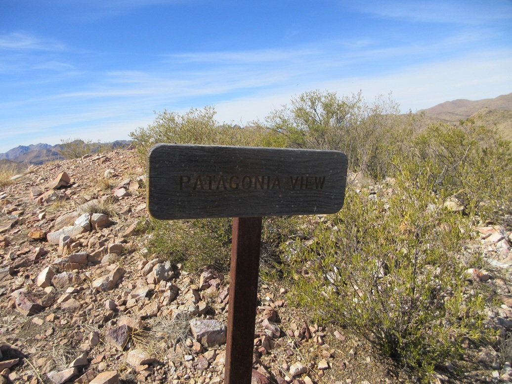
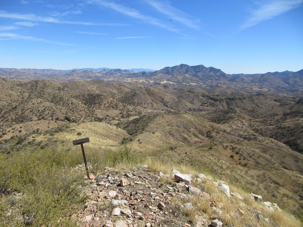
Angling left, the summit was close by. There was a sign here, calling the top "Patagonia View". I was surprised the peak had a name, and the sign itself looked like the kind the Forest Service would erect. So that's its name.
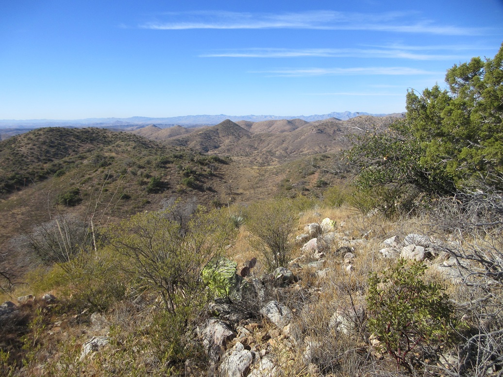
The top is open and just a bare hump of rock, dropping steeply on all sides. Looking west I could see the Weatherhead Ranch buildings and more peaks that way. In any direction I could see peaks and ridges. I looked toward Patagonia to see if I could view it. Yes, but not as clear as one would expect for a peak named Patagonia View.
I was most surprised to discover two register bottles on a peak I assumed would see one visitor every three years. The papers within the bottles were in shambles, rotted and turning to paper fragments when I held them. And they were jam-packed too! Was this a geocache? It didn't have geocache junk in the bottles. The peak gets regular visitors, a few per year, so it definitely is on people's radar, probably where the locals come for exercise. Still, this surprised me.
I collected what papers were salvageable and put them in one register, then took the other bottle and its contents with me. I exited by following a ridge to the southeast, which worked very well and even had a rough path for much of it. When above one of the lower ridges, I dropped downslope and followed it south, coming to the forest-boundary fence. I west went, down and up and down and up to get myself back on my original ridge. That way, I'd walk right back out to my car. I was gone for 90 minutes.
This was a fun and energetic hike. I'd be curious where other people start, apparently there being a route I don't know about. Like the first peak, I would not come all this way for this one peak, but as an add-on, it's a nice peak and a fun hike.
Now properly tired and sweaty, I drove on home to Bisbee, arriving a little over an hour later.
|


|