The Mountains of Arizona
• www.surgent.net
|
| Kohls Ridge • Peak 6068 or "Kush Mountain" |
• Mogollon Rim Foothills • Tonto National Forest • Gila County |
|
Date: April 10, 2020
• Elevation: 6,068 feet
• Prominence: 348 feet
• Distance: 2 miles
• Time: 1 hour
• Gain: 470 feet
• Conditions: Calm and sunny
Arizona
•
Main
•
PB
•
LoJ
•
USGS BM Datasheet
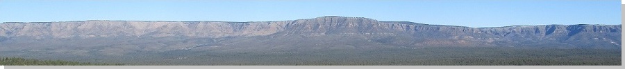
This hill lies at a bend of highway AZ-260 about ten miles east of Payson, where the Control Road to Tonto Village exits the highway. On the east side is Camp Tontozona, a football practice facility instituted and developed by old-time Arizona State University coach Frank Kush. The hill is informally known as Kush Mountain (or variations thereof). It is also home, so to speak, of a USGS Benchmark stamped "Kohls", located on the west end of the summit ridge.
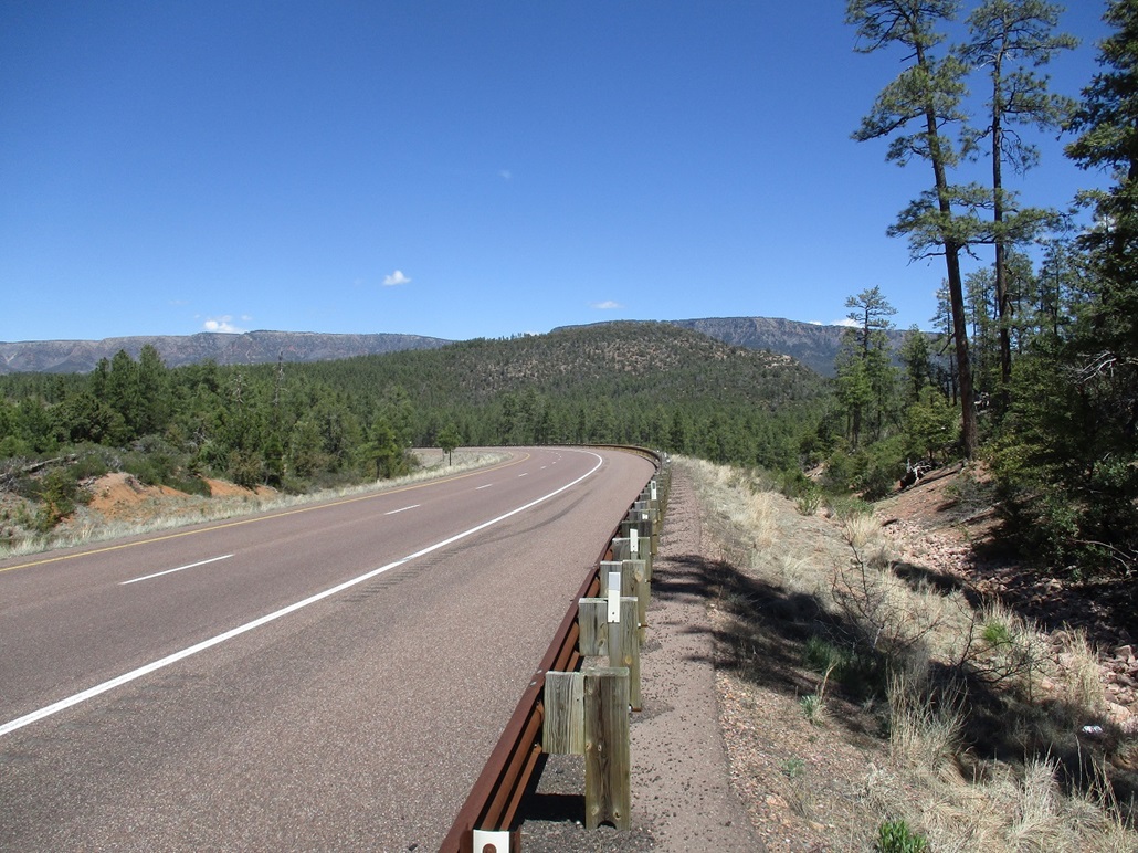
I was curious about the hill so I drove out late on a Friday morning, and pulled in to a parking spot on the west base of the hill, off of the Thompson Draw access road about a mile before the Control Road junction. I was parked within 50 feet of the highway but about 50 feet below, near a tall fence with a gate which allows workers access to some dirt roads in the area.
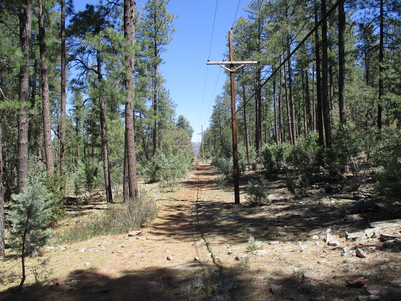
I walked into and out of Thompson Draw itself, which was rocky and featured two barbed-wire fences, both easy to breach. I gained the slope on the other side, which was also rocky with moderate brush. But quickly, I was on a rough dirt track running underneath power lines. I followed the track about a half mile until I was at its apex.
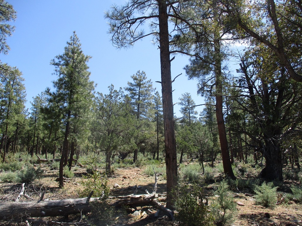
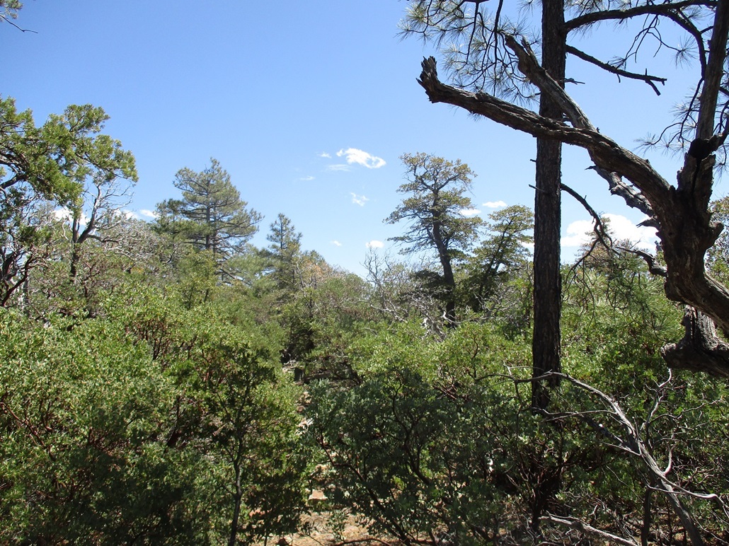
I turned south onto a lesser track that ran about 500 feet, then just followed the slope upward. At first, the going was easy because the trees were spaced out and there was little undergrowth. Toward the top, the ponderosa lessened with more junipers and what I think are called emory oaks, and thick stands of manzanita brush. I slowed here, having to find lanes through the branches.
Suddenly, I hear a lot of rustling and running, but I don't see anything. Whatever they are, they're close by. There was more than one and they did not run far. They sounded beefy, so I suspect I rousted a group of javelina. I'd seen some last week on a hike so they're here in the forest. They tend to run but not very far. I banged my sticks and moved slowly, but never did hear or see these animals. I don't much like scaring up animals in brush where I can't see 30 feet in front of me.
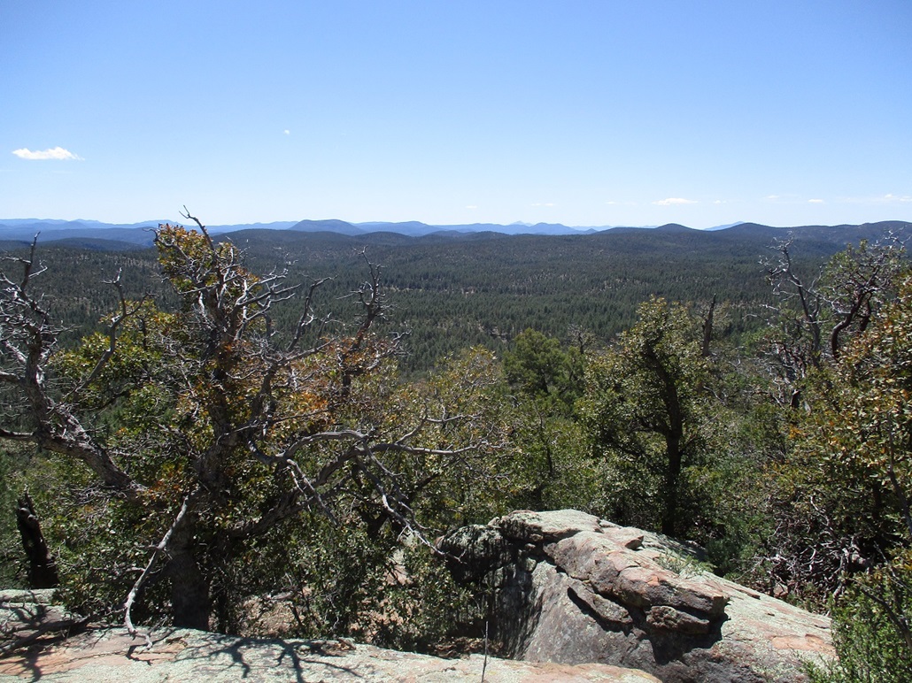
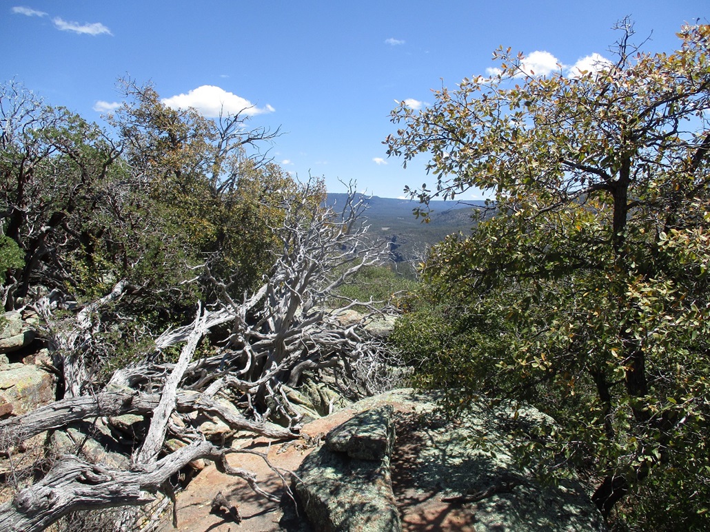
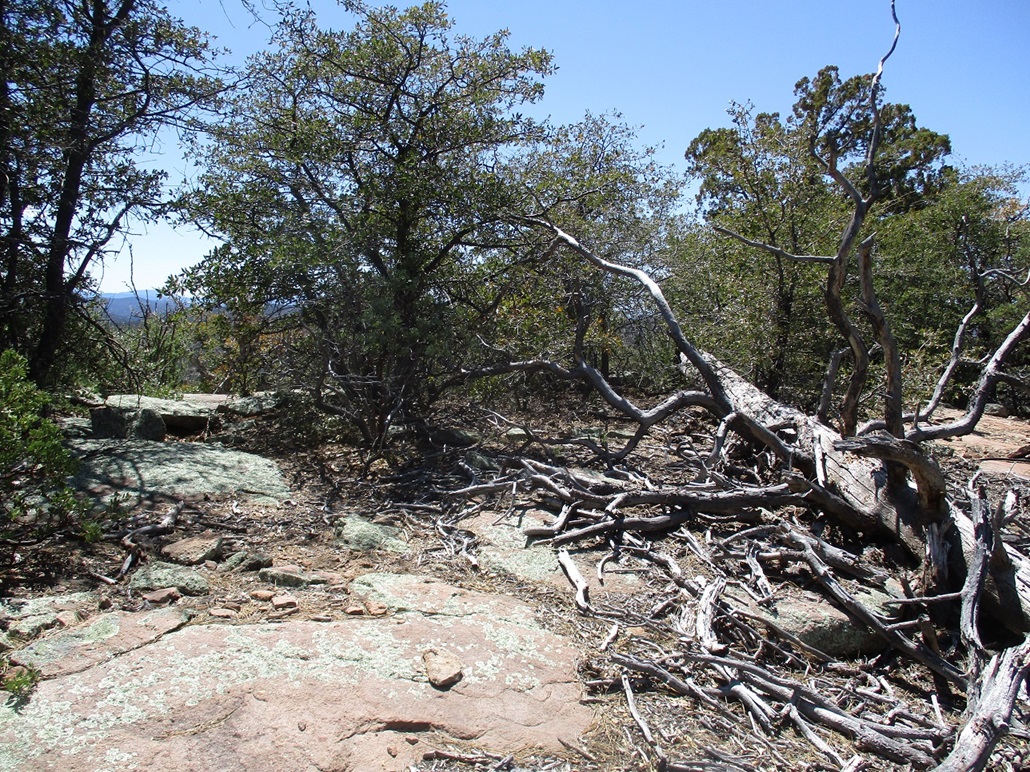
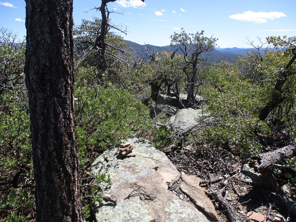
I was soon on the top ridge. The brush was heavy up here too. I meandered through any openings I could find and stepped on any rock piles that looked like a summit. On the south edge, there were cliffs where I had open views, which was a pleasant surprise. I stepped on about a half-dozen rock outcrops that could be the highpoint, and built a small cairn at one, although I can't guarantee it is the very highest point. As for the benchmark, I never saw it.
Heading down, I took a more direct route downhill figuring all options would mean brush, and for a short while, that's what it was. I did not try to be stylish here. I just turned the shoulders in and powered through the branches. But it was short and I was soon back into open forest and gentler slopes. I walked out the way I came in, and was surprised I had only been gone about 55 minutes.
I was hoping this could be a fun "exercise" peak that I could do more often, but given the brush, I don't think I'll be repeating this hill. Like nearby Christoper Mountain and Turkey Peak, it is heavily forested and not worth the trouble unless you're already in the area. I'm thinking I may add this peak to my new book, Forty-three Forested and Scratchy Hikes With No Views, So Stay Home.
I am aware that it is a tradition for the ASU football players to charge up en-masse to the top of the hill as part of their training and general tomfoolery. However, I find it very hard to believe that dozens of guys would come to "the highpoint". If so, there should be a cleared path thirty feet wide by now. The Google Open Street Map places "Kushs Mountain" on a smaller bump east of the highpoint, directly over the training facility. I bet that's what they climb.
|

|