
The Mountains of Arizona
• www.surgent.net
|
| Lost Horse Peak |
• Maricopa Mountains • Sonoran Desert National Monument • Maricopa County |
|
Date: February 4, 2022
• Elevation: 2,175 feet
• Prominence: 309 feet (sez Lidar)
• Distance: 0.8 mile
• Time: 45 minutes
• Gain: 295 feet
• Conditions: Windy and sunny, chilly too
Arizona
•
Main
•
PB
•
LoJ
•
USGS BM Datasheet
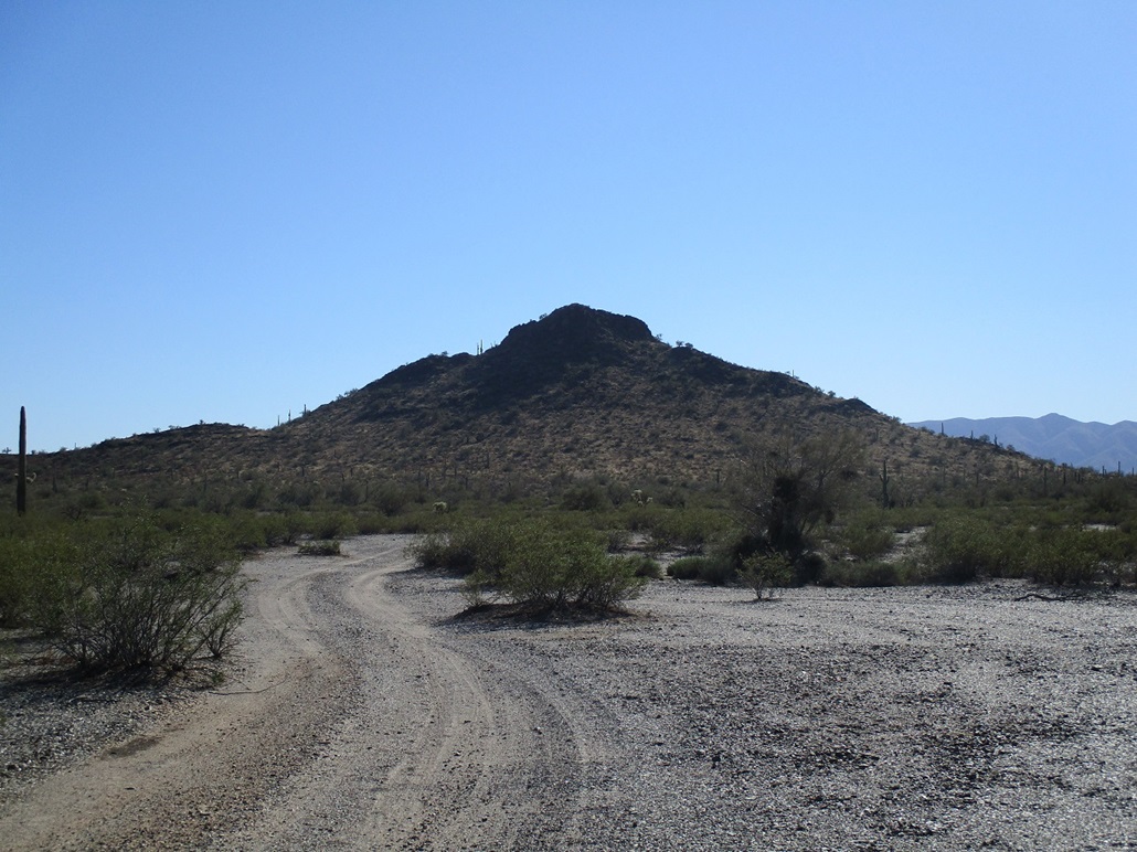
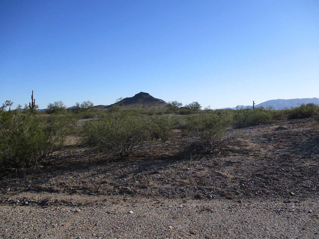
Lost Horse Peak is an isolated knoll about a mile south of Interstate-8 at the Freeman Road exit. I was aware of its existence and kept it in my back pocket as something to do when in the area or having time available when other things go to pot, like they did today.
I was not supposed to be here. I had intended to climb some peaks on the Organ Pipe Cactus National Monument, but when I got there early this morning, I was overtaken by the strong wind, strong enough to make being outside uncomfortable and definitely too much for a long hike. I salvaged the day down there with a hike up an easy summit, Peak 2582. It was pushing 2 p.m. when I drove back to Ajo.
In Ajo, I stopped at the Circle-K and debated my options. Suddenly, I had lost interest in sticking around here, and decided to go somewhere where I knew I had a better chance of fun and success — the peaks along the Agua Caliente Road, west of Gila Bend. That was my new plan for tomorrow. I called a place in Gila Bend to reserve a room. Now I had a few more hours open. I wanted a peak that I knew I could do in an hour and Lost Horse Peak now came back into the picture.
I drove back to Gila Bend, then east on Interstate-8 for about 25 miles, exiting at the Freeman Road exit. I've never exited here before, and today, this would be a perfect excuse to do so. To the best of my knowledge, the Freeman Road exit is just there to allow access to a big tower a little to the southeast of the exit. There's open range camping for RVs, but nothing else, no minimarts or buildings of any sort. The road doesn't go anywhere north, it just ends at the off-ramps. Wikipedia says it's a "populated place". It is if 0 counts as a population.
Lost Horse peak is immediately visible, as it's the only bump south of the interstate for miles. I drove south on Freeman Road a half-mile to an east-west track, going east toward the tower. Just before the tower, I turned right onto a track going south toward the peak. To my gentle surprise, this track was in excellent shape, and I was able to drive to near its end, a stone's throw from the base of the small mountain.
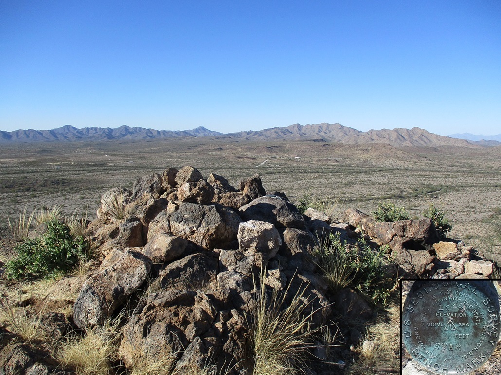
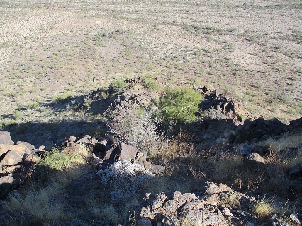
I was already dressed and ready to go, so I locked the car and started hiking immediately. The slope steepens in degrees and I was soon on the steeper stuff, a mix of grass and solidly-set rocks. I angled left and achieved a tiny saddle just east of the top. From here, I picked my way up about 40 feet of rocks to the top. The climbing was not difficult, perhaps class 2+ due to some loose gravel and a couple spots where I had to hoist myself up a 4-foot barrier. On top, I snapped an image of the benchmark, signed the log (not many people come here, not surprisingly), but did not linger. It was breezy up here, not as bad as down south, but I got what I came for, and started down almost innediately.
I retraced my steps and was down to my car quickly, the round trip taking about 45 minutes, probably less. I didn't hike very far and it all went efficiently. This was not a bad little peak to bag. Most people drive on by on the interstate, but if you're looking for an excuse to take the Freeman Road exit and hike a bump, this is an excellent option.
I got back to the interstate and headed back to Gila Bend. I had reserved a room at a locally-owned outfit called the Palms Inn, which dates back probably 70 years going by the architecture. The rooms were tidy, and I liked it here. It was busy and almost filled up. I try to stay at these one-off hotels when in small towns. The only negative was the amount of sand on the walkways and everywhere else. But this is Gila Bend, sand is all encompassing.
Tomrrow, I would embark on my second drive on the Agua Caliente Road in two weeks, which may be a record. I started the day with a visit to the Sundad Rock Art Site and then a hike up Saddle Benchmark.
|


|