The Mountains of Arizona
• www.surgent.net
|
| McKays Peak |
• White Mountains • Fort Apache Indian Reservation • Apache County |
|
Date: July 19, 2019
• Elevation: 9,176 feet
• Prominence: 826 feet
• Distance: 1.5 miles
• Time: 1 hour
• Gain: 375 feet
• Conditions: Clear with a steady breeze
Arizona
•
Main
•
PB
•
LoJ
•
USGS BM Datasheet
McKays Peak rises above remote Hawley Lake, about 25 miles east of Show Low on the Fort Apache Indian Reservation. There is a lookout tower atop the peak, and a road to the top. I was interested in visiting this peak, but as I arrived in Show Low late yesterday for a day of easy peakbagging, I was not committed to visiting McKays Peak this time. I kept it on my contingency list.
Very early today, I hiked two easy bumps near Show Low, Blue Ridge Mountain and Pat Mullen Mountain. It was about 8:30 a.m. when I returned to my car after the second hike. I had not expected both to go as quickly as they had. Plus, the weather was stable, just a few high clouds in the sky. I decided to go explore McKays Peak.
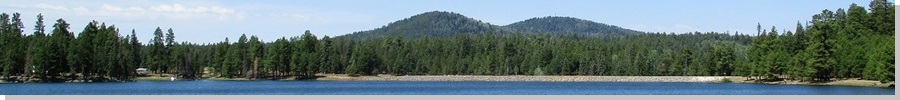
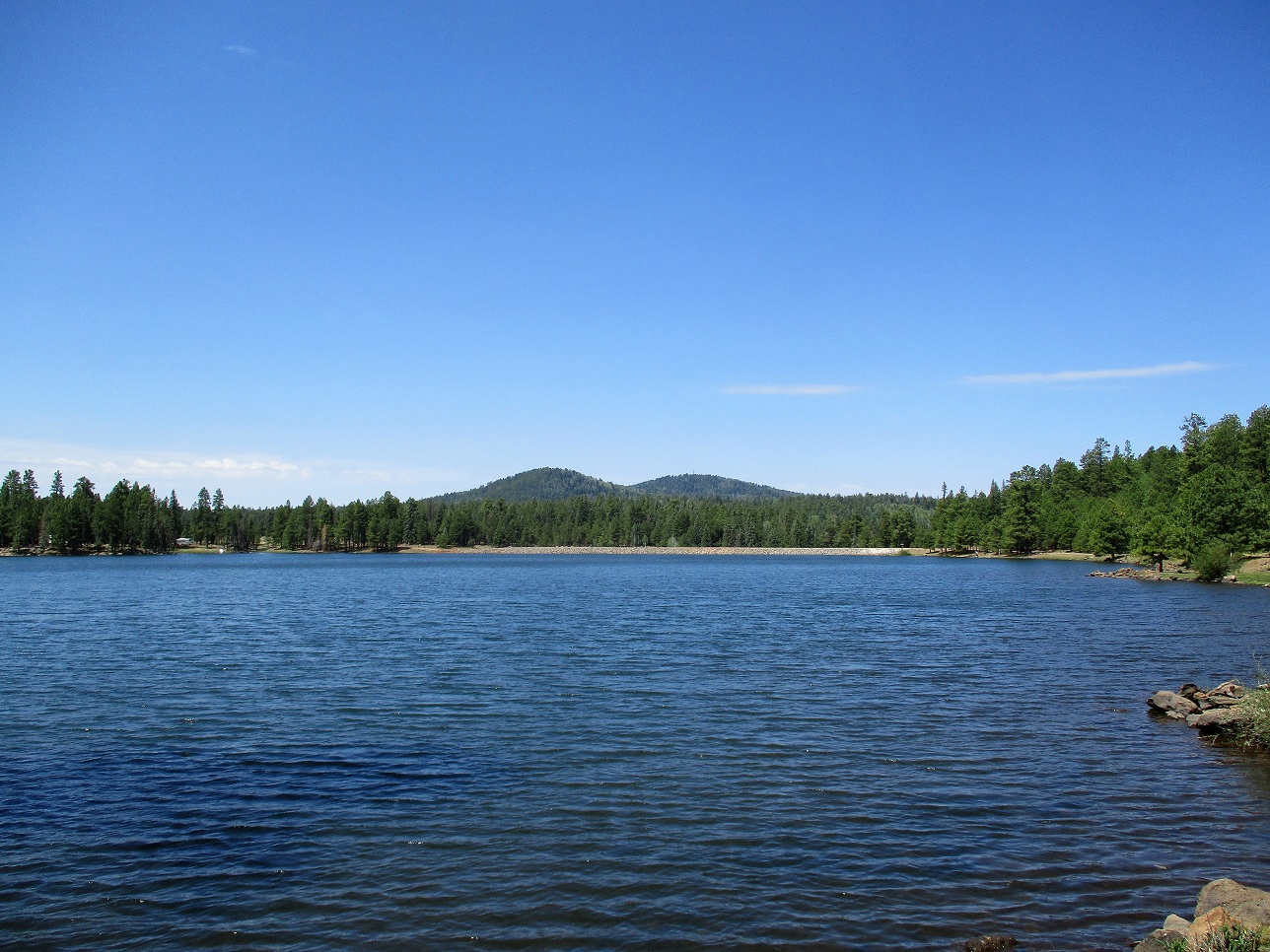
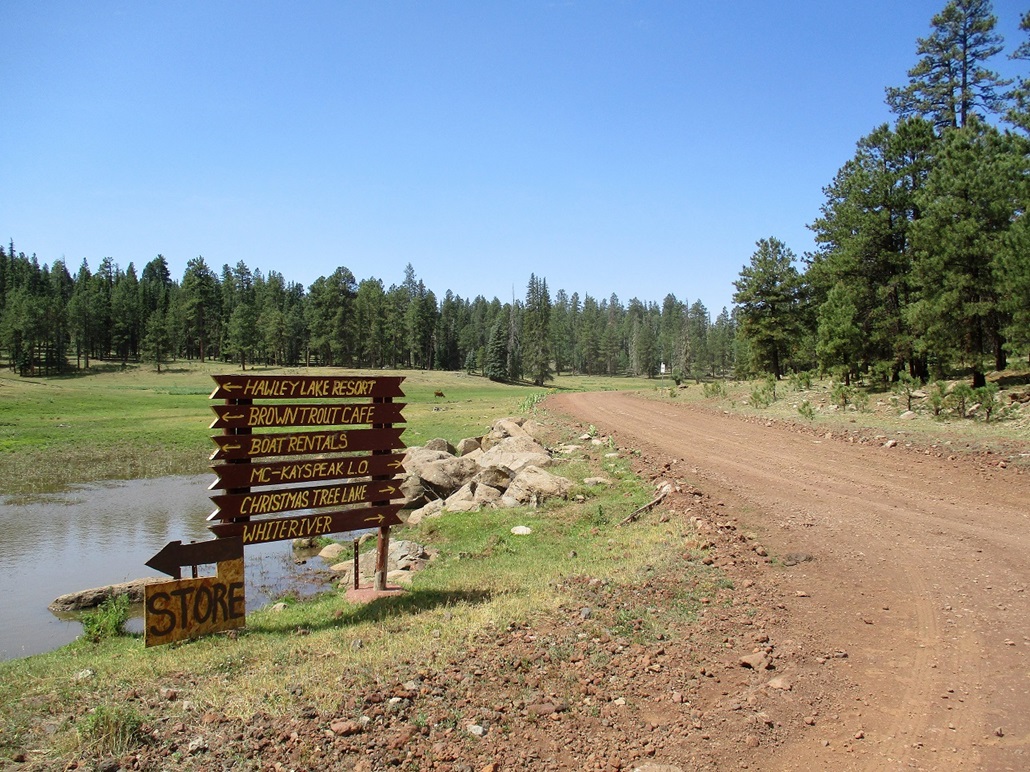
Back onto AZ-60, I drove about a dozen miles to the Hawley Lake turnoff, marked as state route AZ-473. I followed this lovely mountain byway for 9 miles to where state maintenance ended at the entrance of Hawley Lake. The lake covers a few hundred acres and is a beautiful camping and fishing locale. Winters here are harsh, and Arizona's coldest recorded temperature, -40 C/F, was recorded here in January 1971. Today, conditions were superb, the skies still mostly clear and temperature about 65 degrees F. The lake itself is at about 8,100 feet elevation.
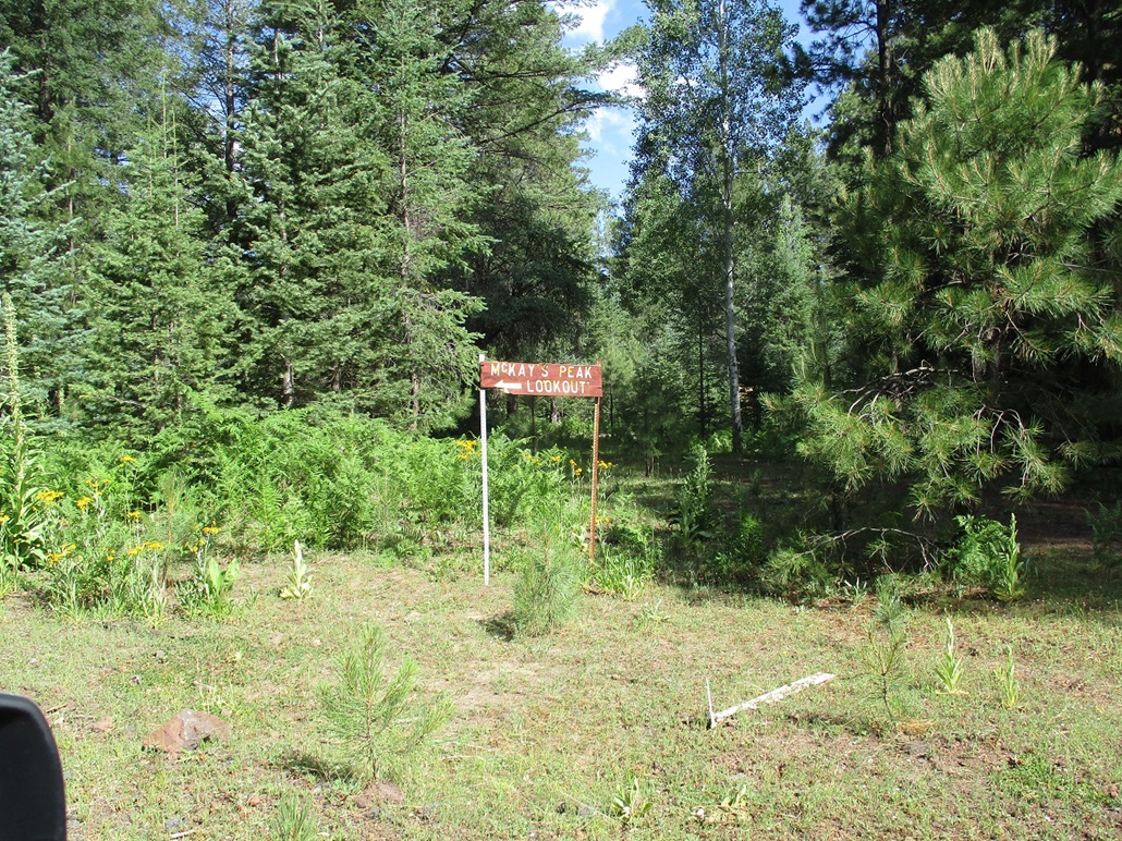
I followed the main perimeter road counter-clockwise around the lake. McKays Peak and its lower eastern bump appear to the west, rising above the forest and the tower easily visible. At the southwest corner of the lake, I found a road signed for "McKay's Peak LO" going right.
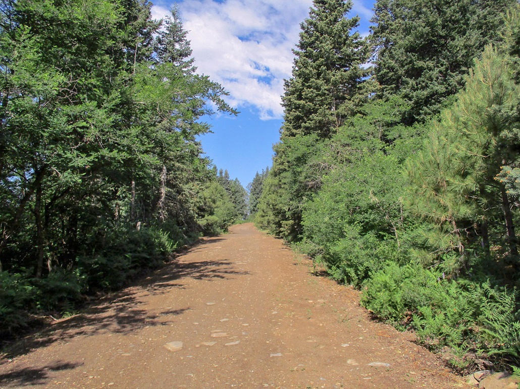
I followed this road for a mile, then went right at a junction, now heading west. I was about two miles from the peak. I drove in as far as seemed prudent, not sure how far in I would get. The road was in decent shape, a little rocky in spots but one that most passenger vehicles with non-trivial clearance could handle. I drove to a small flat perch, elevation 8,800 feet, where I parked my car. I was a half-mile on a straight line to the summit. I started walking about 10 a.m., going light with just my camera, hiking pole and a bottle of water.
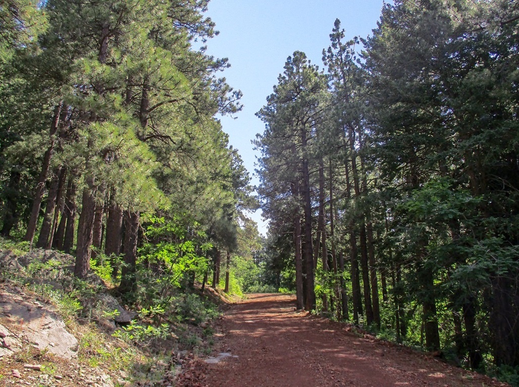
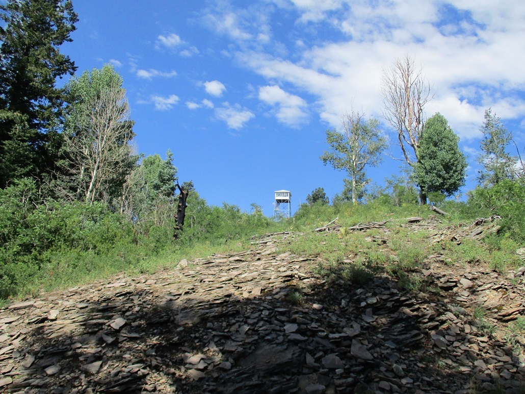
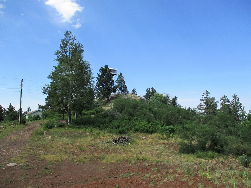
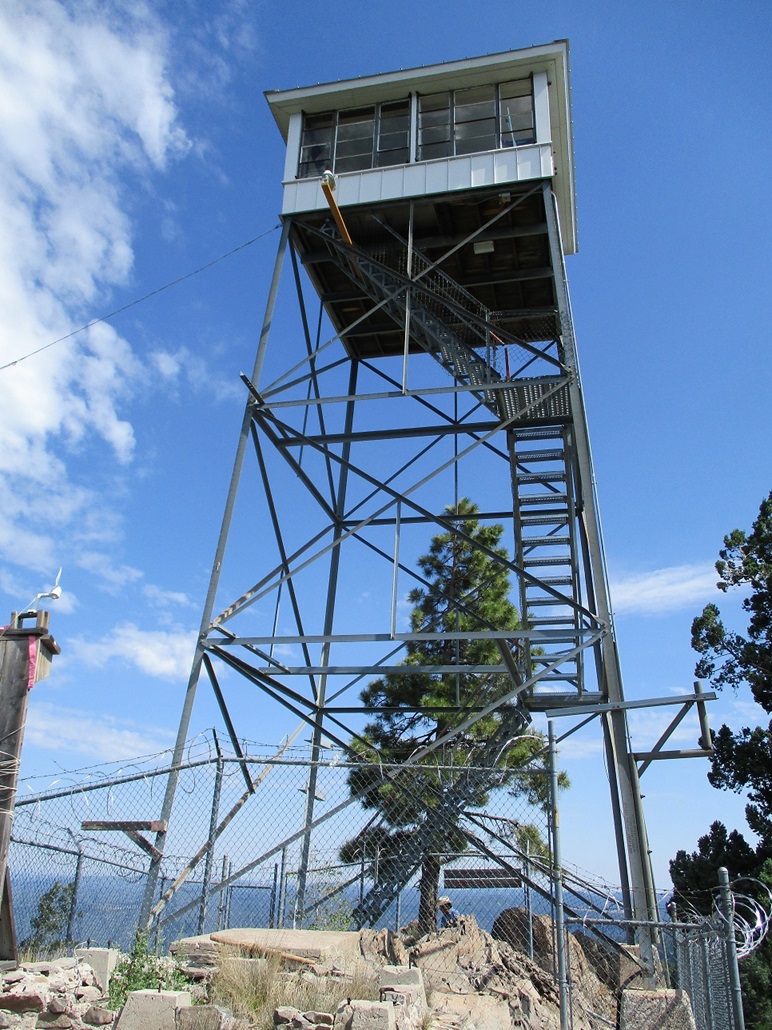
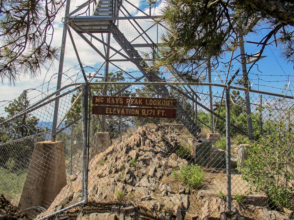
I walked up the main road about a half mile. The road was good and I could have driven it. It reached an apex south of the tower, where a side road leads to the top. This side road is gated but not posted. I walked up this final road, gaining about 150 feet in a quarter mile, to arrive on top. The lookout tower is built atop a large rock outcrop, the tower about 40 feet tall. I walked to the end of the road and up the rocks to the fence surrounding the tower.
A possible highpoint was a rock near a small sign on the fence, then walked around the other side to inspect the rocks over that way. Then I heard an engine and paused, watching a guy drive up and back his truck into a parking spot. He got out and walked up the path to the fence, unlocked the gate and invited me up to the platform if I wanted to come up. That was good timing!
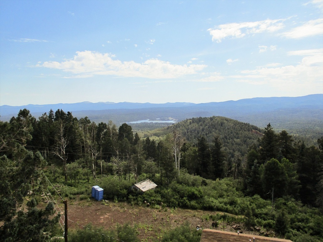
Carefully, I walked up the metal stairs to the platform. The lookout's name was Varnell, and he was super friendly. He let me look around, sign the log book, and he showed me a couple ongoing burns in the area, plus some history of the area too. He's a member of the Fort Apache Nation and lives down in Whiteriver. The man knew everything about these parts, and I spent about 15 minutes up in the tower with him.
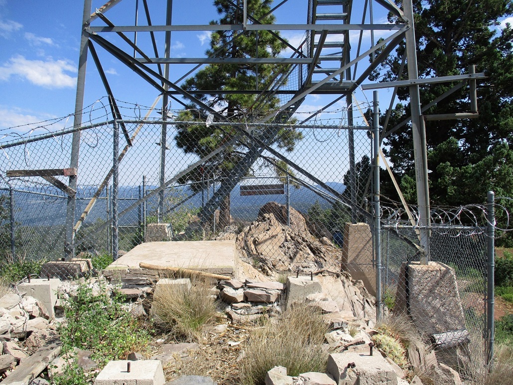
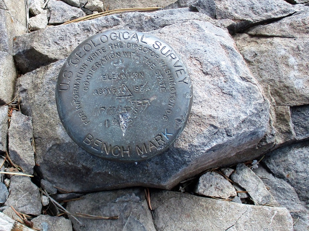
I snapped a few images but did not want to overstay my welcome. He had things to do, so we shook hands and I thanked him for his kindness. I then carefully walked down those steps back onto the rocks. The benchmark is set in the rocks at the base of the stairs, within the fencing. However, it is a virtual tie as to what rock is the highest rock, whether the ones inside or outside. In any case, I tagged all contenders.
I retraced my route back to my car, the round-trip hike taking about an hour. The forest is unbelievably dense and luxuriant up here, growing right up to the road. The weather had held up well. The monsoon was not active today. Usually, storms build by 10 a.m., but today, things were calm. I drove back to the lake and stopped near a small picnic area to take photos and have a snack.
I was pleased to be successful on this little side journey. I had been concerned about logistics, like potentially bad roads or gates or weather, things that would turn an hour-long hike into many hours, or no hike at all. It was just after 11 a.m. when I got back on the highways and headed back to Show Low. I actually was looking to explore another lookout tower atop Lake Mountain north of McNary, but I had no maps with me and decided to save that one for a later visit.
I descended back into Show Low, by now a little after noon and the temperatures in the mid 80s. I had one more peak on the agenda, a bump called Porter Mountain. I was not terribly enthusiastic about it, but it was close to town with a road, so I went for it, warmth and all.
|

|