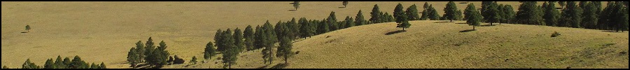
The Mountains of Arizona
• www.surgent.net
|
|
Moore Hill • Bald Mountain I had been in Laughlin for the weekend and was driving back to Scottsdale, taking the northern route along Interstate-40 with plans to tag a bunch of hills in and around Williams. As usual, my plans change with the circumstances, so I was able to tag a handful of hills, but not necessarily the ones I intended to. Freeway construction was the main culprit, forcing my hand in a couple cases to alter my plans. Nevertheless, the day was lucrative and enjoyable, and I was able to visit four hilltops and enjoy moderate temperatures for a few hours.
Date: September 30, 2018
• Elevation: 7,382 feet
• Prominence: 542 feet
• Distance: 2.5 miles
• Time: 1 hour and 45 minutes
• Gain: 560 feet
• Conditions: Blue skies and calm
Arizona
•
Main
•
PB
•
LoJ
•
USGS BM Datasheet
•
Interactive map
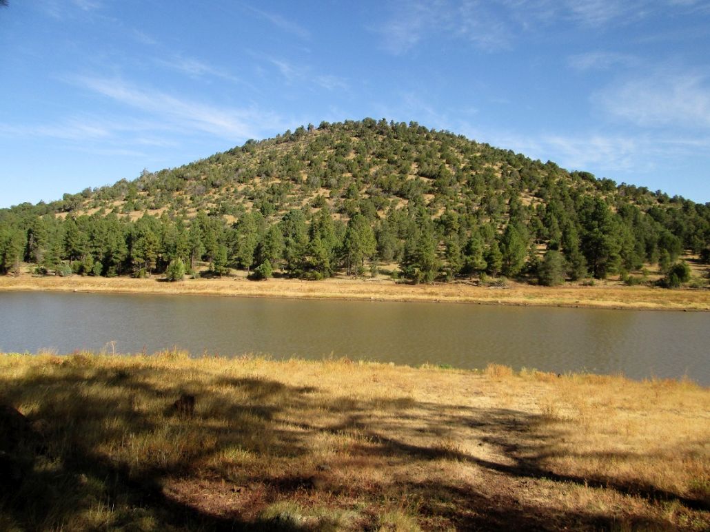
Moore Hill rises north of Kaibab Lake, a small dammed body of water with camping, located in the forest about three miles north of Williams. I was back in the area intending to tag a few more bumps, carrying on a theme from this summer. I had spent the weekend in Laughlin, then headed back to Scottsdale, taking the scenic route through the high country.
I left Laughlin at 4 a.m. and was in Williams a little after 6 a.m., the sun now up. I stopped in town for gas and some snacks, plus to change in to my hiking clothes. It was cool but pleasant, about 55 degrees, with blue skies and wispy clouds. From Williams, I went north on AZ-64 about three or four miles, to a gas line road on the west side of the highway. I passed through the gate and drove on a lesser track southwest, parking in a cleared area near a stock tank. I was northeast of the peak, elevation about 6,860 feet.
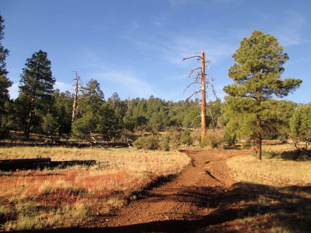
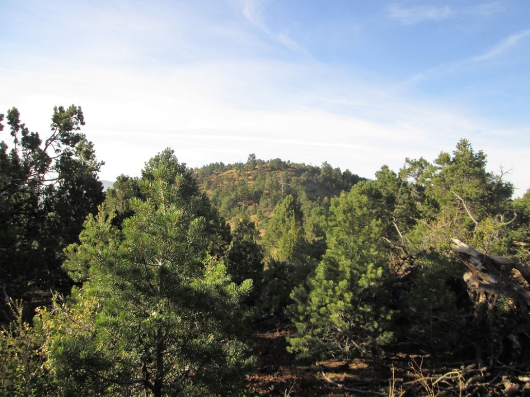
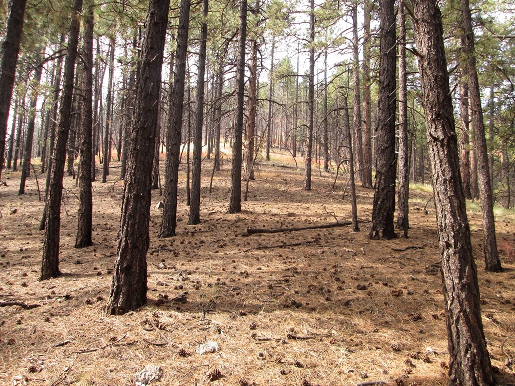
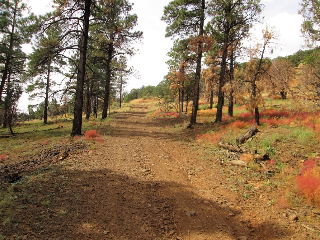
I locked up the vehicle and started walking about 6:45 a.m.. I followed the track to a big dead tree (first photo). The map shows the road ends here, but satellite images show the road forks. Neither fork goes up, so at this tree, I went directly up slope, the gradient very lenient at first. This big tree would serve as an excellent visual landmark on my return.
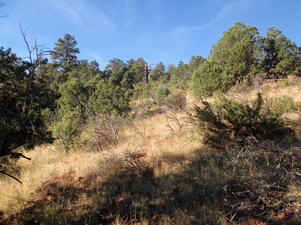
I aimed uphill and walked, the terrain being grassy with some rocks, a mix of low trees such as juniper and mountain oak, but not the big ponderosa. I seemed to aim for one dead tree to the next, they standing out against the living ones. In about 15 minutes, I was on the top ridge, on a small nubbin about elevation 7,250 feet. Looking across, I could see the true top not too far away.
I followed the ridge west up another hilltop, elevation 7,310 feet, then down a saddle and up to the summit, the last few feet being somewhat steep. I had made good time, covering the one-way in about 50 minutes, a walk of slightly over a mile.
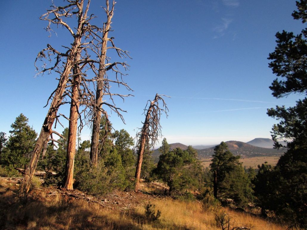
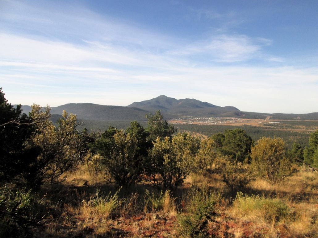
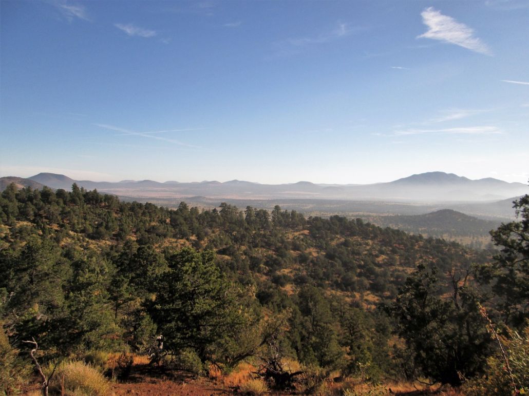
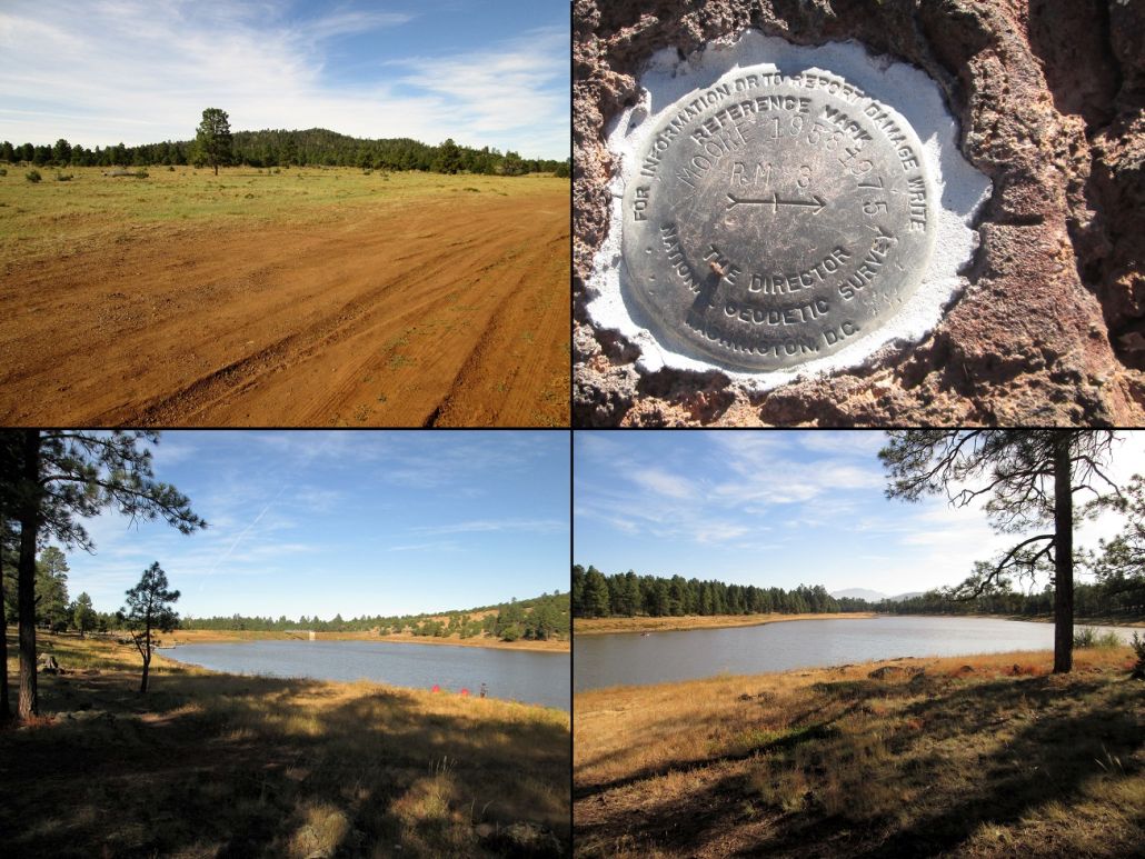
I spent time up top enjoying the views and snapping photographs. I could not locate the benchmark but found a witness marker. I also found a rock with a small metal post in it, broke off at its top. This may have been the benchmark. I found a log and signed in, the first person up here in a couple months, going by the log. I had good views of Bill Williams Peak, Sitgreaves Mountain and the dozens of littler bumps all around the area.
The weather was great. It was breezy but pleasant at top, perhaps in the 60s by now. I did not feel the need to rush things, but before my legs got stiff, I started the trek down. I followed the same route and even went from the same dead trees, one to the next, back down to the road, from where it was an easy walk to my car. I had been gone a little over 90 minutes.
Driving back south, I drove into the Kaibab Lake grounds and shot some photos of the lake and of the hill. I then returned to the interstate. My plan was to tag two more summits nearby, Dude Peak and Boxcar Hill, both a couple miles east of Williams at the next exit. When I got on the freeway eastbound, it narrowed to a single lane and the next exit would not be for 11 more miles. The exit I wanted was closed, so I had no choice but to drive to the next open exit (Parks Exit) and get off there.
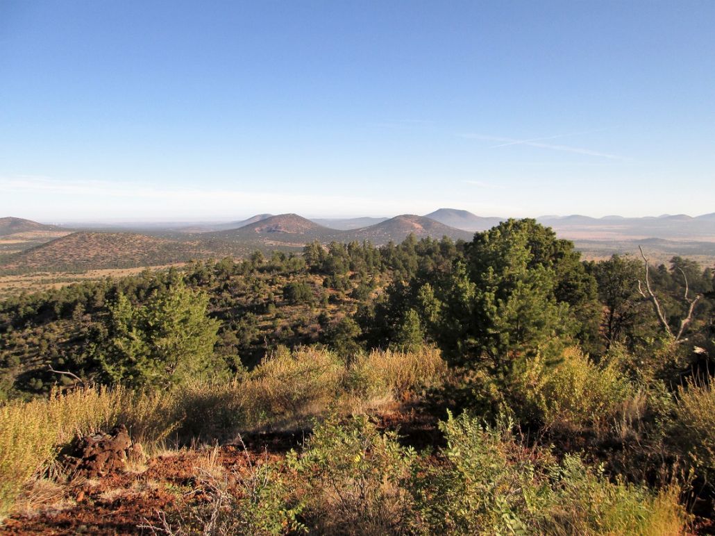
I now had little desire to backtrack since I'd have the same issue of closed exits, so I decided to leave those two summits for a later visit and concentrate on a couple bumps nearer to my current location, Bald Mountain and Frenchy Hill, both south of big Sitgreaves Mountain. This may have been a blessing in disguise. As I drove the Interstate, there was a lot of haze and a smokey scent. There may have been a controlled burn in the area too.
In this short period of time, the weather seemed to get more active. Clouds were moving in, including big puffy ones, the temperature dropped a few degrees and the winds were picking up. Normally, this time of year is quiet: the monsoons are usually gone, and the bigger storms from the west don't come in for another few weeks. Turns out this was the leading edge of decaying Hurricane Rosa, which was coming ashore down by the Sea of Cortez. I was able to hike my subsequent peaks, but I would not have the same sunny and calm conditions I had on Moore Hill.
Elevation: 7,997 feet
• Prominence: 467 feet
• Distance: 2.7 miles
• Time: 90 minutes
• Gain: 720 feet
• Conditions: Partly sunny and breezy
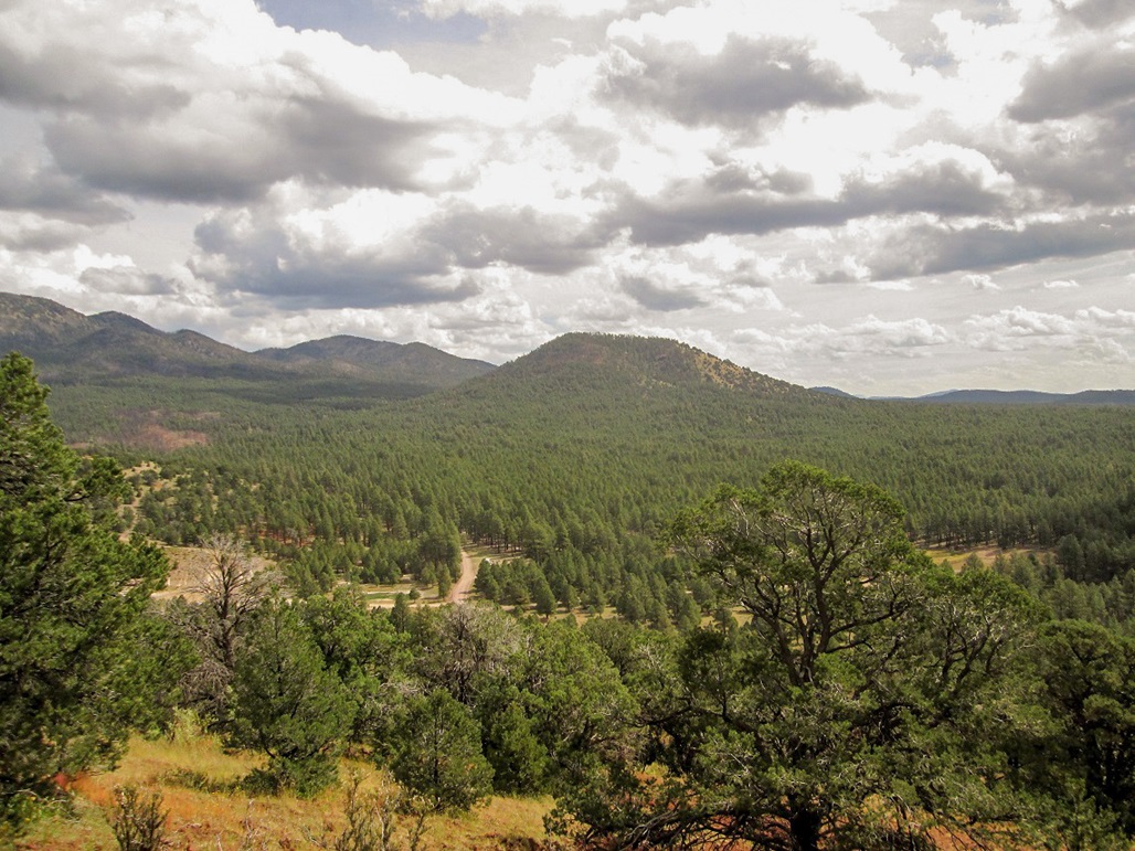
Bald Mountain is a hill a little to the southwest of Sitgreaves Mountain. From the south, its slopes appear to be mostly bare, which may be why it gets its name, but the way I approached it, from the west and north, it is covered in a healthy tract of ponderosa pine forest.
I had maps handy for this peak, and a nearby hill called Frenchy Hill, but I did not plan to hike these peaks today. Instead, In Williams, I got onto Interstate-40 heading east, intending to drive just a couple miles to the Garland Prairie Exit, where I had plans to hike a couple hills in that area. But that exit was closed and I was forced to drive about ten more miles east to the Parks Exit.
Suddenly, I had no desire to backtrack, so I decided to visit these peaks instead. I went north on Parks Road to Old Route-66, now a frontage to the interstate, then west a couple miles past the hills and into a big open meadow. Here, I could see Bald Mountain and its bare southern slopes. I drove about 7 miles west, then went north to where the road turned to dirt hardpack, now labelled Kaibab Forest Road 74.
A couple miles on FR-74, I then eased onto FR-75, and inched forward slowly about a half mile, past one bend and parking in an open clearing when the chance arose. This road goes another mile east to a saddle northeast of the peak, and most stock high-clearance vehicles could make it. Mine could too, but I did not want to chance anything, plus I did not know the road's condition until I had hiked it. FR-75 is mostly coarse sand and prone to ruts.
It was about 10:30 a.m. when I started walking. I was about a half-mile from the summit on a straight line, but about 800 feet below, and I did not want to hike in the thick trees up 800 feet of slopes. Thus, I opted to follow the road to the saddle, then bust up from there.
The road walk went fast, covering sbout a mile, gaining 200 feet. At the saddle, I found a convenient spot to get myself onto the slopes, heading southwest toward the summit. At first, the slope was lenient, the trees thin but spaced out so I could see a couple hundred feet ahead of me. There was almost no undergrowth to speak of, and the ground was a layer of leaves and needles, with very few rocks. It was a pleasant tread, and I made good time.
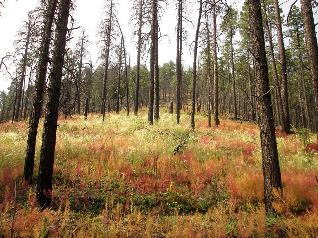
The slope steepened in degrees as I ascended. I left the trees and into a meadow of colorful shrubs called fetid goosefoots. They were fun to look at and walk through. Soon, I was back into the trees, grunting up the slopes to the top, the last bit being quite steep. There were no surprises on this hike, and I was on top fairly quickly. The top was wooded with no views, so I did not stay long. One tree had a cairn against it which may be the highest point. I walked around for a minute to tag other spots, then started back down.
The morning's sunny and benign weather had suddenly become more active. It was cooler here, although I was not significantly higher in elevation than before. There was a steady breeze and a build-up of clouds. I was not concerned about lightning (yet), but to be safe, I moved fast. The steep downhill slopes helped me do that. I was back to the road soon, and back to my car about twenty minutes later.
The round-trip hike covered about 2.7 miles, which I covered in a little over an hour. Back down in the open, I could study the skies better. It was not the big puffy monsoon clouds, which was promising. I did not know what was going on. But I felt I still had time and relative safety to tag a couple more bumps in the forest.
Back at my car, I did not change or do anything other than turn over the ignition and drive back out to FR-74. My next hike, Frenchy Hill, was just a mile away, so I was there in a matter of minutes.
Elevation: 7,451 feet
• Prominence: 311 feet
• Distance: 1.5 miles
• Time: 40 minutes
• Gain: 311 feet
• Conditions: Clouds moving in, breezy
PB
•
LoJ
I had just hiked Bald Mountain near Sitgreaves Mountain. About a mile to the west of Bald is a small hill called Frenchy Hill. Since it is a "ranked" peak (minimum prominence of 300 feet), I wanted to hike it. There's a road to the top, and it looked short. It would be a good add-on hike after Bald Mountain.
I only had to drive a mile to get to the turn-off for the road up Frenchy Hill. I parked in a cleared area at the base and walked up the road to the top, the one-way covering a little more than a half mile. I was on top in about 20 minutes. The road was in bad shape with severe ruts, loose rock and bad leans. For walking, it wasn't very good, and I usually walked along the raised berms on either side of the road.
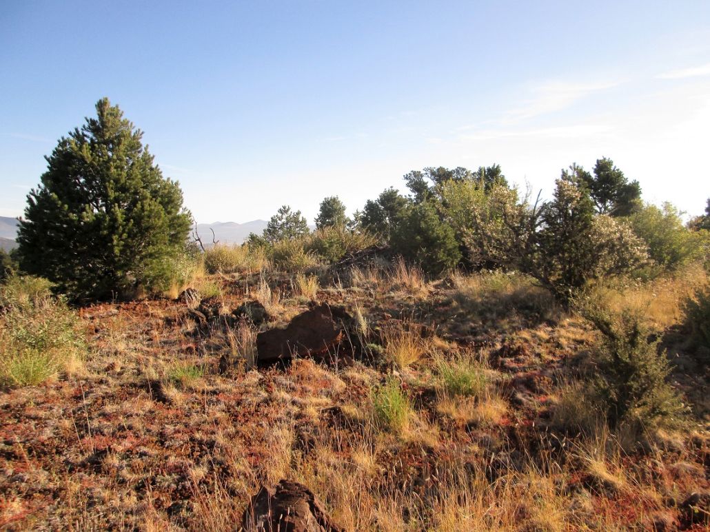
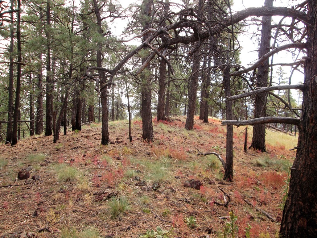
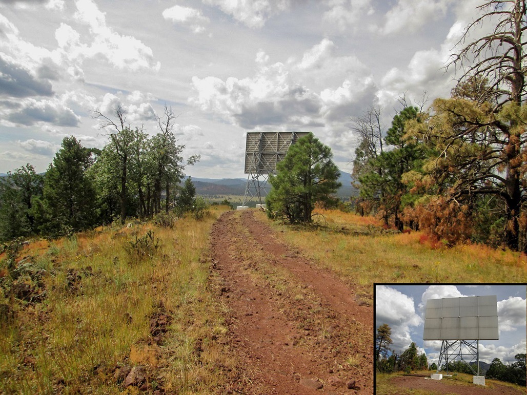
The top is where the road makes its last turn. This last turn leads to a big reflector apparatus on the hill. This is about ten feet below the highest point, which is back where the road made its last bend. Some rocks near the crook of the bend may be highest, and there's a cairn with a sign-in in an open area opposite the inner-crook.
I was treated to some vivid colors---reds, oranges and yellows---of the fetid goosefoot bush, which grows low to the ground. It was unexpected, and very pretty, Arizona's closest thing to Fall colors. I had no idea what this plant was called, so I contacted Dr Jeff Schalau at the University of Arizona, who identified it for me, and sent me this link, which describes the plant in more detail. Thanks, Jeff!
I hiked back down the way I came, the round trip taking 35 minutes. It was an enjoyable hike, but not one I would come all this way for. I was treated to nice views from the top and that interesting goosefoot plant.
From here, I drove back to Interstate-40, now heading for Scottsdale. On the way, I tagged one more easy hill, Smith Butte.
Elevation: 7,245 feet
• Prominence: 457 feet
• Distance: 1.4 miles
• Time: 45 minutes
• Gain: 305 feet
• Conditions: Blustery and cool
Smith Butte is a small hill off the Newman Park exit off of Interstate-17, about 15 miles south of Flagstaff. I was driving home to Scottsdale after a weekend in Laughlin. On the way, I had already hiked three hills up by Williams. In fact, I had not intended to come this way at all, but freeway construction in and around Williams ... and here I was. Anyway, I was here, had a map, and decided to tag the top.
I pulled off the interstate and drove the slightly-bumpy forest road south, then north, about a mile, parking at a junction of this road and a lesser track, northeast of Smith Butte. The sky was filling fast with clouds from a decaying tropical storm down over the Baja Peninsula. It was breezy and slightly cool. I started walking at about 1 p.m.. I went light with no pack, just a bottle of water, a hiking pole and my camera.
I followed the track south, gaining about 60 feet. Where it bent west and started to drop, I found a lesser track going south again. This went uphill steeply, decaying into nothingness amid the thick forest and brush. I had hiked about a half-mile to here, gaining about 150 feet.
The slope was dense with trees including the usual ponderosa, plus mountain oak and a lot of underbrush. It was thick, and I had no desire to barge through it, even though I was close to the top. I was gambling on the possibility there would be a rough path from the end of the road. Surely, others have been here before me and beaten in a path. It would be a logical place for one. So I looked around and nearly tripped over a cairn signifying a path. It was weak at first, covered over in leaves and matting, but I followed it uphill nonetheless.
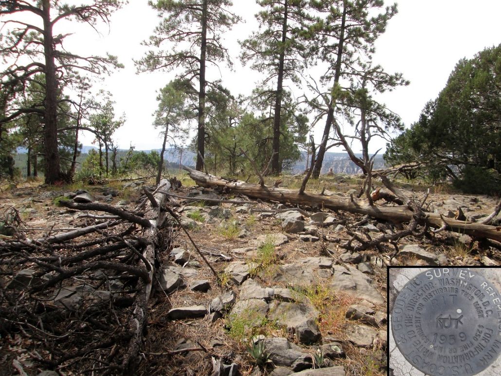
This path worked well but was indistinct. I missed a hard-left at one point, running into a thicket of brush before doubling back. I found the proper path and walked it uphill. It is steep but short, and soon, I was on top this little nubbin. I was not expecting anything special. The top is slightly wooded but also open, some deadfall lying amid the rocks of the summit. I signed into the log book and found the benchmark (witness marker?) stamped "RIT".
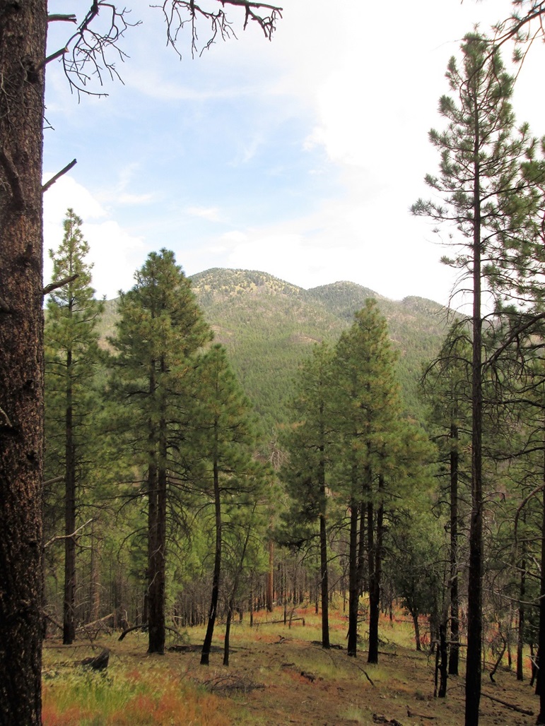
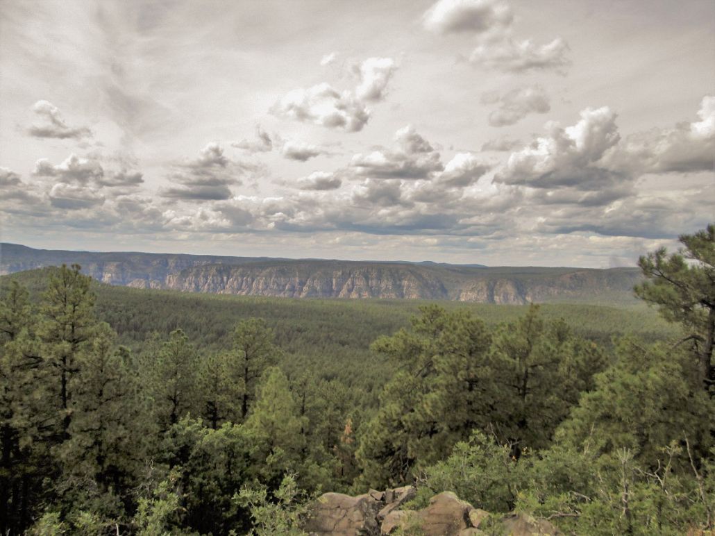
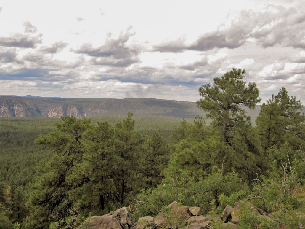
Much to my delight, the views open up to the west where I could make out the cliffs of Oak Creek Canyon and the spires surrounding Sedona. The clouds were scooting by quickly and it was cool, in the 60s. To me, that is freezing after a summer in the desert. I shot a few images and noted the smoke of the Platypus Fire, now two months old and burning itself out.
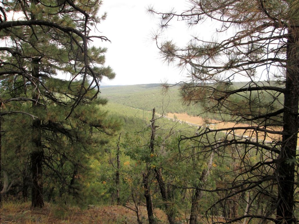
I spent about 10 minutes up top, looking for the actual benchmark. I suspect it lies under the deadfall and had no intention to lift it off. I took a photo of the reference marker and called it good enough. I followed the same trail and roads back to my car, a round trip of about 1.4 miles. I had been gone only 45 minutes. From here, I simply drove all the way back home to Scottsdale.
I was not expecting much on my hike up Smith Butte, but was happy I took the time to hike it. The hike itself is short and not that interesting, but the views from the top are worth the moderate effort it takes to get to the top.
|


|