The Mountains of Arizona
• www.surgent.net
|
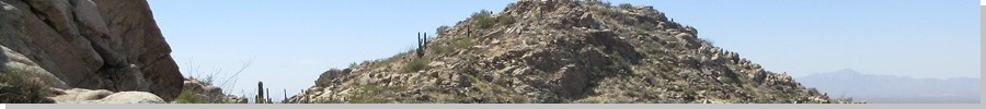
| Peak 3626 |
• Ninety Six Hills • Arizona State Trust Lands • Pinal County |
|
Date: March 18, 2025
• Elevation: 3,626 feet
• Prominence: 546 feet
• Distance: 1.2 miles
• Time: 1 hour
• Gain: 705 feet
• Conditions: Sunny, very breezy, chilly, dusty
Arizona
•
Main
•
PB
•
LoJ
Peak 3626 lies in the Ninety Six Hills, a small hill-range in eastern Pinal County, about eight miles east of highway AZ-79. The old 96 Ranch was located within these hills. This ranch was abandoned many years ago. The immediate area around the ranch buildings is private, while the surrounding area is almost completely-contiguous State Trust land. The very little research I have done indicates that the owner of the property is okay with visitors as long as they treat the area respectfully. Access is not fettered and the area is popular with off-roaders.
This being a Tuesday, I was on my drive to Tempe. I left Bisbee at 7:30 a.m., the day clear but very windy, red flag warnings in many areas. It was also quite chilly, temperatures lingering in the 40s and low 50s. I had two small peaks planned, both along the Pinal Pioneer Parkway (AZ-79), the stretch of highway between Oracle Junction and Florence. This peak was not in my itinerary.
I drove to Benson, and normally I would follow Interstate-10 through Tucson, but I decided to follow the "back way", the Cascabel-Redington-San Pedro River Road from Pomerene to San Manuel. I wanted a change of scenery, and I had a suspicion that the winds would be troublesome in and around Tucson.
This drive went well, taking a little over an hour. I got onto highway AZ-77, then took that to AZ-79, then that north. My intended peak was the northernmost peak of the small Suizo Range. I chose it solely because it looked easy with tracks almost all the way to its top.
However, I was immediately stopped. Any good-looking road was gated, and the lesser tracks were rough and this peak wasn't worth this kind of hassle, so I cancelled it. Another nearby one was also cancelled since I lost interest.
I recalled a few peaks back in these Ninety Six Hills (the map spells out the words, the old ranch and the road use the numerals). I had climbed Middle Mountain a few years ago, that being my only time back here, and even then, not that far back as Middle is set apart from the main batch of hills.
I found the road, signed as 96 Ranch Road, at milepost 119. A bunch of trucks and toy-haulers were parked here. I drove in this road just over 8 miles. I was looking at either this peak, or nearby Peak 3757. I had no map other than on my phone and would be winging this entirely.
I drove in past a water tank and saw some posted notices, so I turned around and drove out about a half mile, opting for Peak 3626 as it was on publicly-accessible land. I was unaware of the de-facto access policy in regards to these notices and wanted to play it safe.
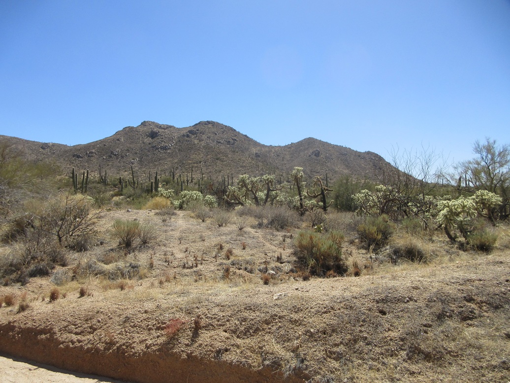
There is a perfect little pullout just north of this peak, so I pulled in, got properly dressed and my pack on, and started uphill. This is a rocky peak with some steep slopes, but it looked promising, no obvious show-stoppers.
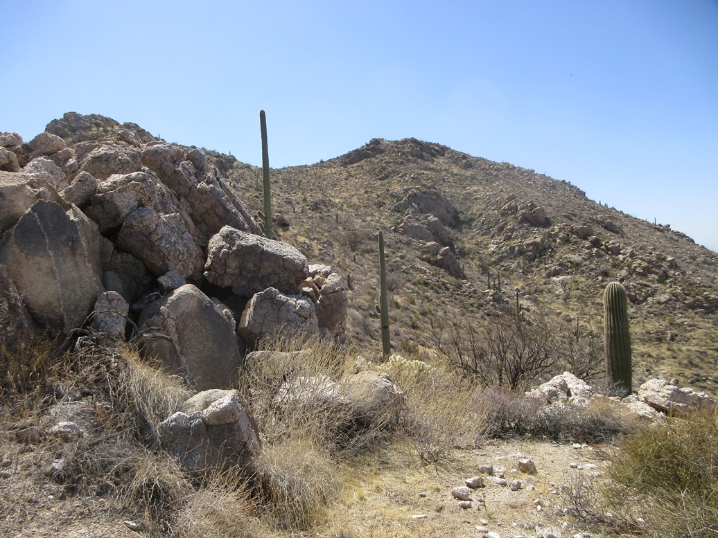
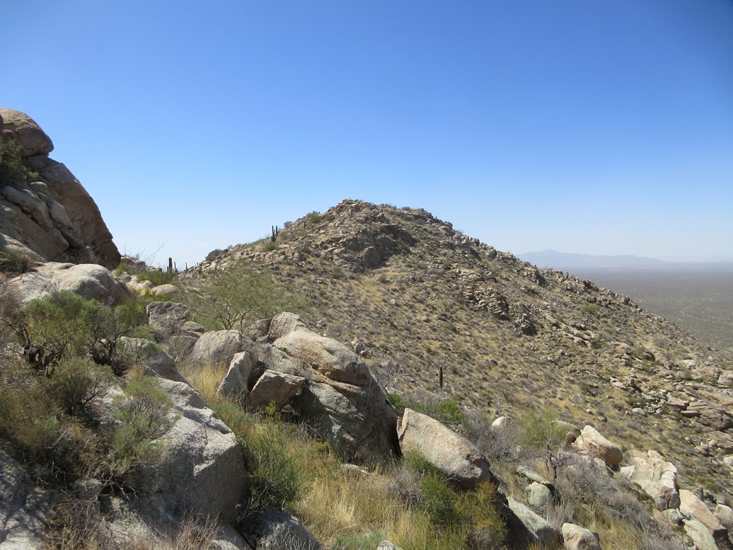
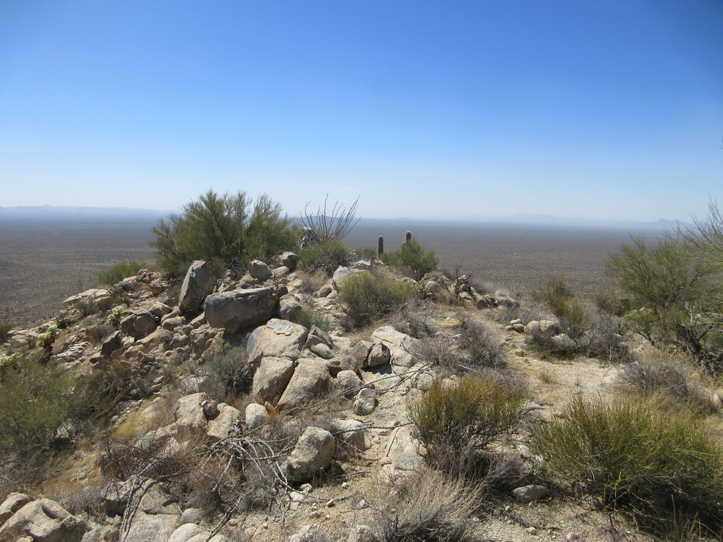
I walked briefly acoss flattish terrain, then started up the slope, which steepened quickly. It was loose in places, but there was plenty of low brush holding it all together. I was quickly above this slope, now on a ridge. I got my first look at the true summit from this vantage.
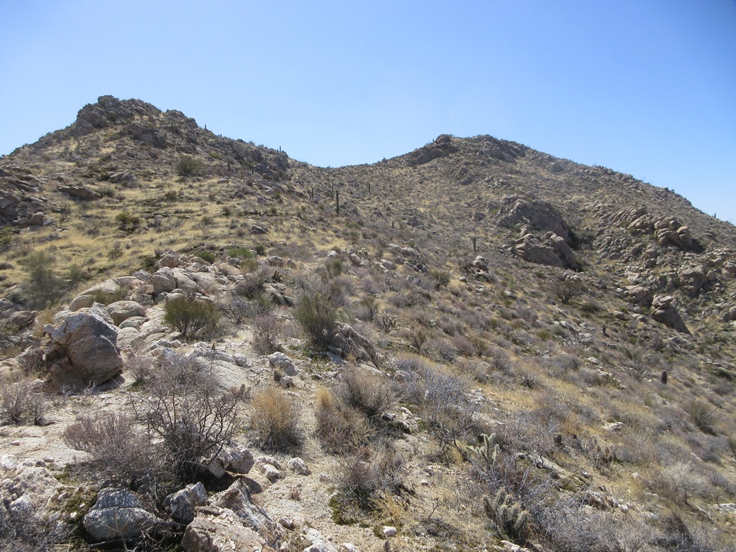
I then followed the ridge, staying high on it, sometimes poking my way through rocky outcrops. Up ahead was a subsummit, this one very rocky with jumbled cliffs. I came upon a path which at first I assumed was a gamepath, but as I followed it, it went up, so I stuck to it, no reason not to.
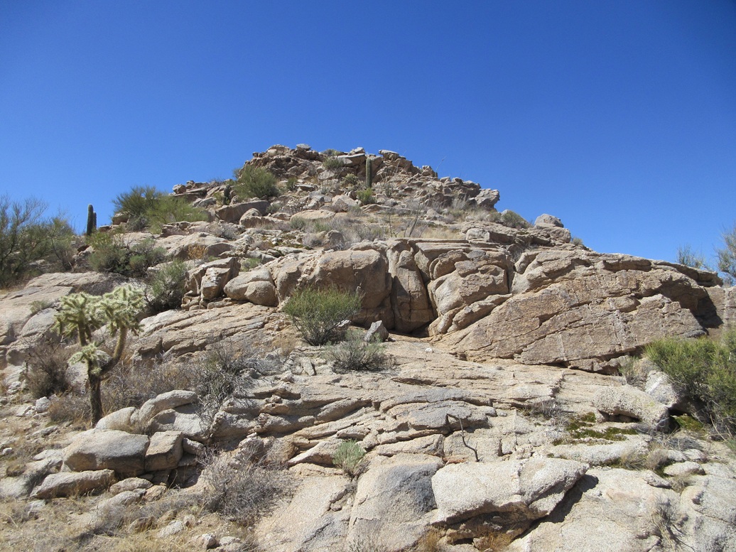
Near this subsummit, I came upon a nice grassy ramp that bypassed some of the rocks. It fed me onto ... more rocks, but these were easy to get around. I would drop down to one side or the other, following any opening I could. The summit was just across the way. I had to drop about 40 feet to the saddle below the top.
The final climb went well, being more rocky, with a wall guarding the very top. I found a way up and around it, using my hands for a couple moves. This fed me onto more slope, and the summit about a minute later.
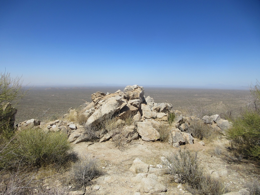
The top is open, a large rock outcrop marking the top. A register was stashed in a cairn within these rocks. Not many people had signed in, and those who had were the regulars, including a group from the Southern Arizona Hiking Club.
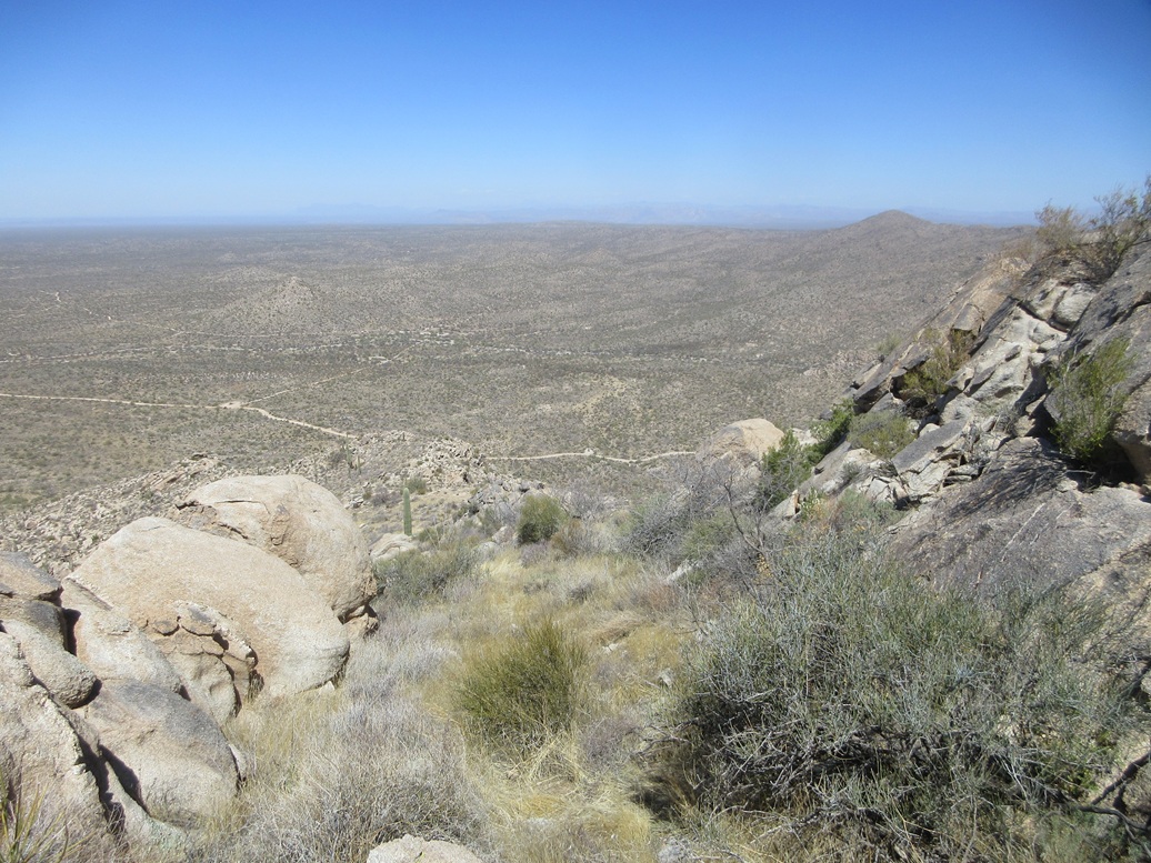
The winds were intense, gusting into the 50 m.p.h. range. I took a few images and looked around but the winds and the cool temperatures made standing still uncomfortable. I spent about 5 minutes on the top before turning around. I could see big inchoate dust clouds off to the west and northwest ... right where Interstate-10 would be.
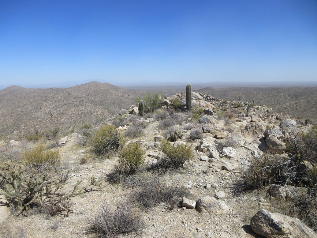
The hike down went efficiently, and the terrain was such that I could scoot quickly down the slopes. The round trip covered just under an hour and a little over a mile. I was pleased to be successful and also came away with some ideas for the other peaks back here.
I changed into driving clothes and drove out to the highway, getting gas in Florence, then driving to my office at ASU. It was only then that I actually got online to research the access situation for these hills. I had seen a group of off-roaders as I drove out and they were all heading in toward the ranch property. Some Jeep/OHV websites mention this as being a popular back-roads route.
|

|