The Mountains of Arizona
• www.surgent.net
|
| Peak 4286 • PHX-ELP Airway Beacon T 1 |
• Little Rincon Mountains • Arizona State Trust Lands • Cochise County |
|
Date: March 25, 2025
• Elevation: 4,286 feet
• Prominence: 406 feet
• Distance: 3 miles
• Time: 90 minutes
• Gain: 415 feet
• Conditions: Sunny and warm
Arizona
•
Main
•
PB
•
LoJ
This low mound of a peak lies at the southeast tip of the Little Rincon Mountains, about six miles north of Interstate-10 at the Mescal Road exit. It is notable for being the location of an old airway beacon from about a century ago. Otherwise, it is just an anonymous brush-covered bump in the middle of ranch country.
I was on my Tuesday drive to Tempe, and with temperatures warming now, was looking for a peak that was short and preferably mostly a road or trail. This peak met all criteria. Today, it would be a perfect peak to hike.
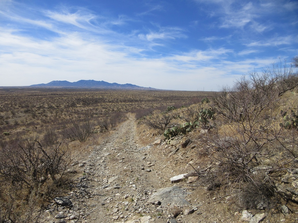
I left Bisbee about 7:30 and was in Benson about an hour later. Briefly on Interstate-10 westbound, I exited at the Mescal Road exit and went north. It is paved for about three miles, then a wide hardpack road for the remainder, as it aims for the Coronado National Forest a few miles to the north.
I went in a little past milepost 4, then a fence and cattle grate, and an immediate right onto an unmarked track. The peak rose in the mid-distance, about three miles away.
The road drops into an arroyo and I was concerned I might be forced to park here, but I got out and inspected the tracks. If I could balance my wheels on two raised berms, I could dip into and out of the arroyo. Otherwise, I'd high-center myself. I drove it carefully and got through it.
The rest of the road was in pretty good shape. It heads east briefly, then northeast. The road is slightly bumpy with small rocks in the tread, and spots where erosion has formed moguls in the road.
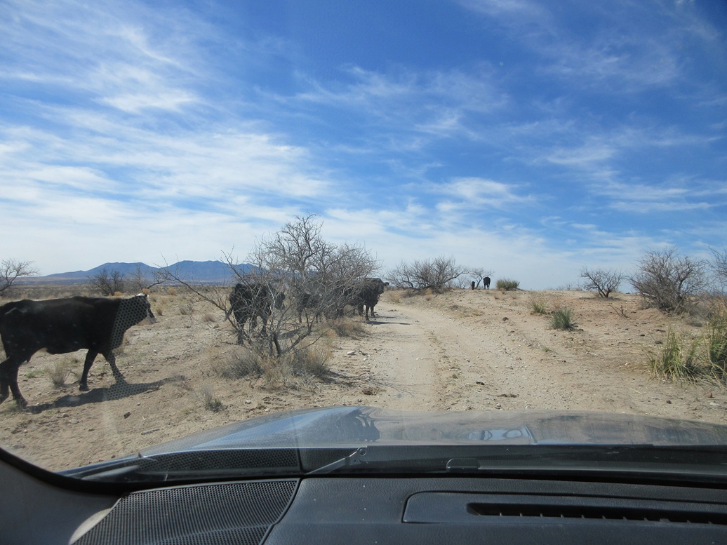
About a mile in, I passed through a gate at a cattle corral and watering trough. A couple of them stood and watched me as I opened the gate and passed through. I stayed on the road about another mile, seeing a few of the beasts munching on grass beside the road. I got as far as a junction, spot elevation 3,875 feet. The left branch which aims for the peak was heavily eroded and my vehicle would not have managed it.
It was about 9 a.m., sunny and clear with a few straggler clouds in the sky. It was warm, too. The outside temperature was about 72°, said my car's temperature reporting device, but the sun made it feel warmer. I got suited up and started walking immediately.
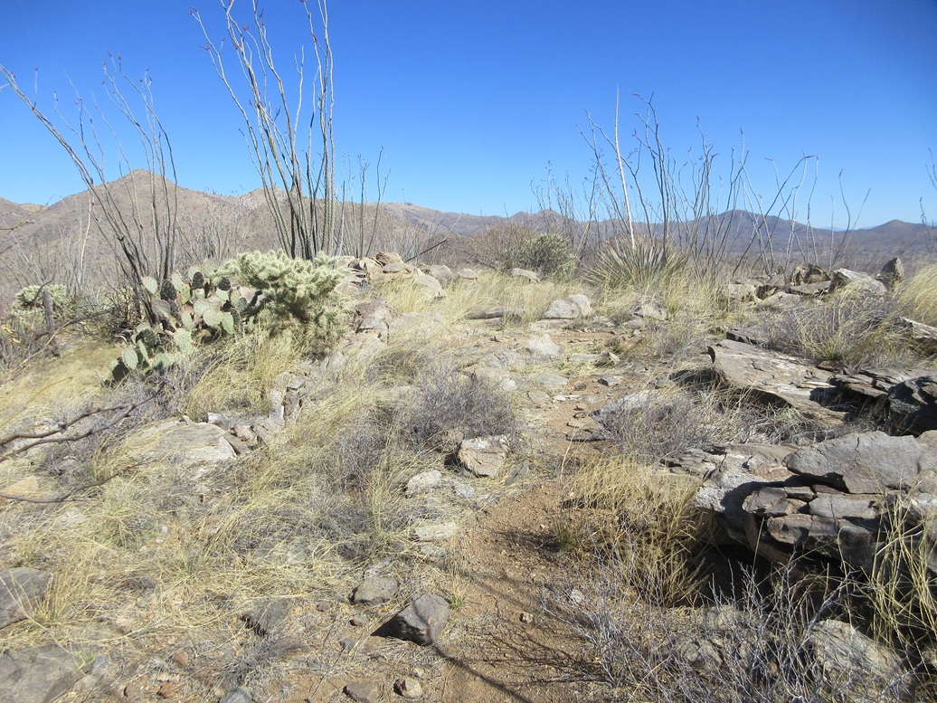
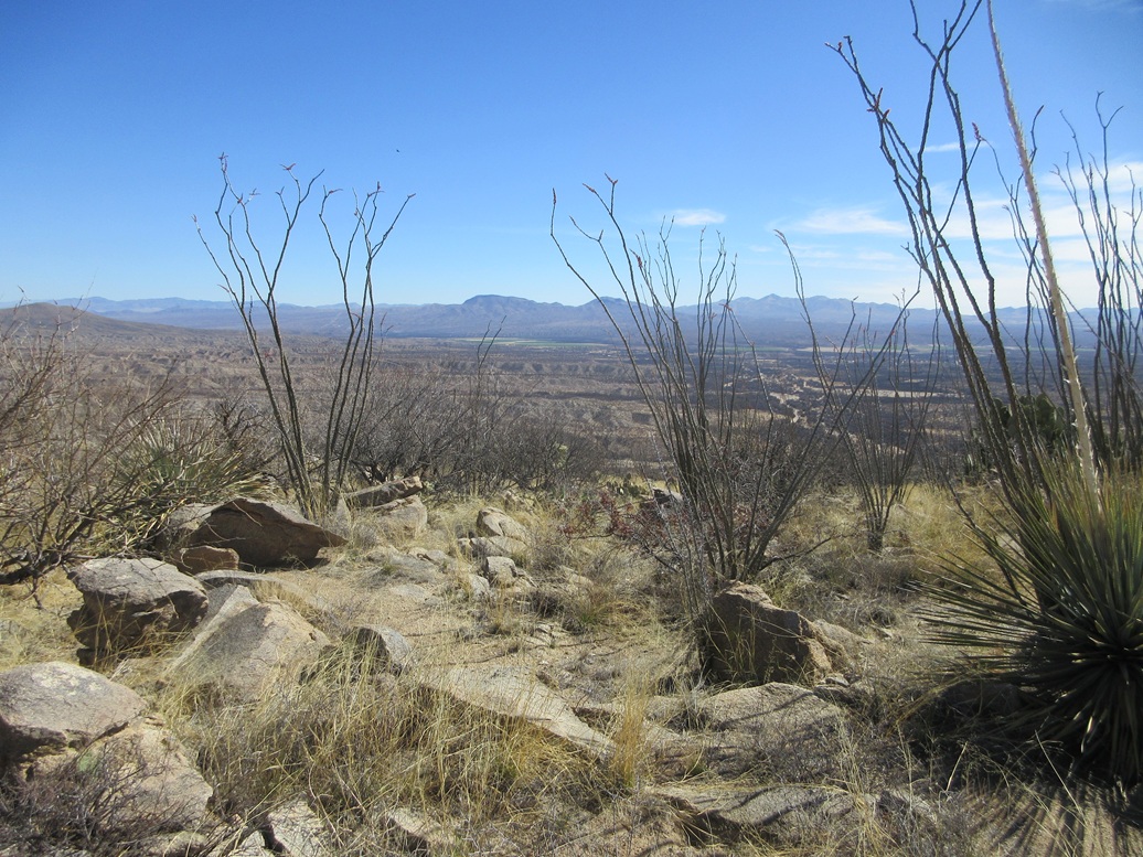
I followed the road as it makes a couple end runs to get past some low ridges and a drainage, then bends toward the peak. I went right at one junction, and followed the track upward. It runs below the southern foot of the hill, then curls left (north) and up onto the hill, ending in a turn-around about 150 feet below the hill's upper crest.
This road was quite rocky and narrow. A beefy truck or Jeep would probably be okay, but it seems better suited for an ATV. The turn-around is wide enough to safely do as it says.
The old airway beacon stood on the hill closest to this turn-around. However, I was unaware of this for the time being. I knew the peak once hosted a beacon, but I assumed it to be higher up, possibly on the summit itself. The road may have been put in to service this beacon.
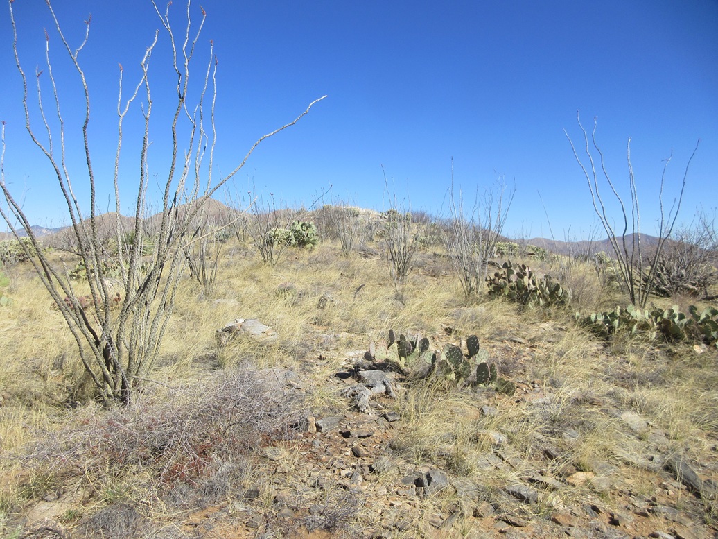
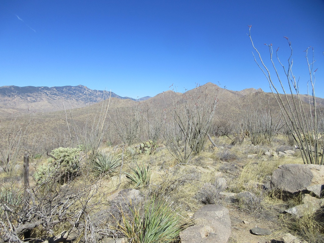
Past the end of the road, I went up slope and found meager game trails that helped. The grass was low and spread out, with abundant cactus. I was able to see my feet most of the time. Quickly, I gained about a hundred feet to place myself on the peak's high ridge.
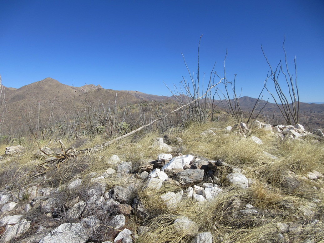
I angled left and walked through a dense thicket of cholla, with a few barrel cactus and prickly-pear. A whitish hill rose to the north, which I assumed to be the highpoint. When I got to it, it was clear it was not, but the next hill to the north clearly was. I was on it, my one-way hike taking about 40 minutes, covering a mile and a half.
Other than a meager fence line and a register, there was no hints of previous visitors. Amy was here last month, but this peak goes years between visitors. I did not stay long, but I did sit down to have a rest. As it was steadily warming, I figured it smart to keep moving. After about five minutes, I started back down.
I retraced my route for the egress, and once back on the road, made better time, although I had to be careful with rocks moving out from under me often. I was back to my car about 10:30. When I got it started, it read now 82° for the outside temperature.
This was a fast and efficient hike, and the slight warmth wasn't a problem, except that I noticed it, and am already dreading eight months of hot weather. It was the kind of warmth that in the sun, was noticeable, but in the shade, was very pleasant. Problem is, there was very little shade on this hike.
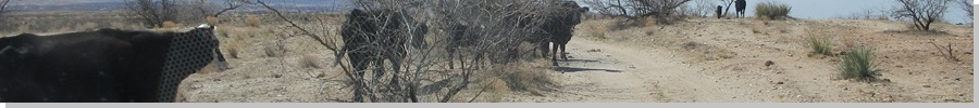
Back at the corral and gate, the cows had all amassed on the road itself and were moving very slowly, not really concerned about me. There were a lot of them, about fifteen, including some very large bulls. I got out to open the gate, scooted through quickly and closed the gate. In that short period of time, many of them started huffing, mooing and screeching. You have to wonder sometimes what goes on in their little brains.
I drove back to pavement and stopped briefly o get my things in order, then got back on the highway and aimed for ASU in Tempe. Tomorrow, I would hike two peaks in Globe, and achieve a notable personal milestone.
I never did visit the beacon. I was more concerned about getting down and out of the grass, and did not know at the time the beacon was on the lower southern lobe of the hill. I only discovered this after the fact.
|


|