The Mountains of Arizona
www.surgent.net |
|
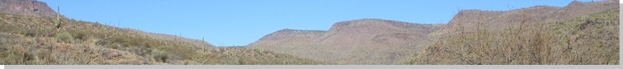
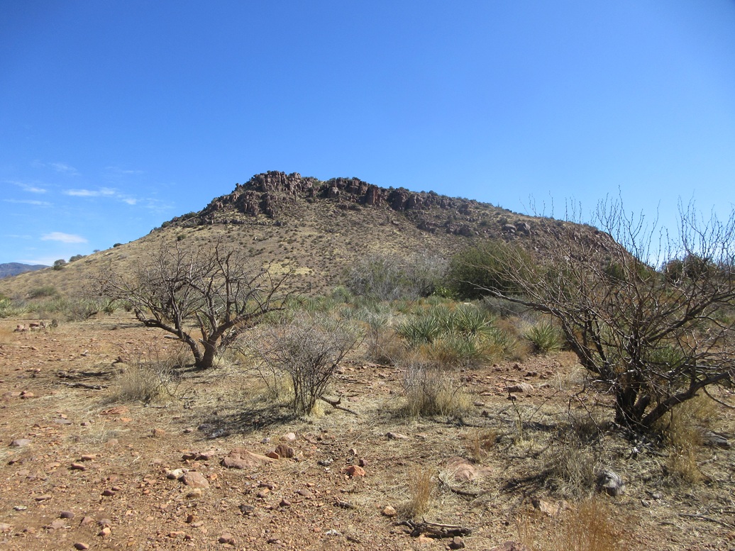
North Butte (Peak 4594) • South Butte (Peak 4301) These two buttes rise high above Lake Roosevelt, about midway up the Sierra Ancha. They lie on the same ridge as Dutchwoman Butte, which Matthias and I climbed three years ago. The two buttes have no formal name, but they flank Whiskey Tank on its north and south, forming a nice symmetry. From down below they can be seen, both with similar profiles, almost like a pair of twins. The southern butte (Peak 4301) was a known ranked peak, but the northern one (map name: Peak 4592) was not, if going only by the map. The 1-meter Lidar, however, affirmed that it does meet the 300-foot rule, if by a mere 3 feet. It gave a summit elevation of 4,594 feet. I was the one that found this. I had John at Lists of John confirm it and he did. Suddenly, I had two good reasons to come back to this area for a hike. I'd be hiking a lot of miles with a lot of gain, so getting two peaks rather than one seemed like a better return on investment.
Date: February 26, 2025
• Elevation: 4,594 feet ✳
• Prominence: 303 feet ✳
• Distance: 10.1 miles
• Time: 5 hours, 15 minutes (whole hike)
• Gain: 2,214 feet
• Conditions: High clouds, sunny, clear and pleasant
Arizona
•
Main
•
PB
•
LoJ
•
Lidar
I taught my Tuesday class, then got groceries for the night and tomorrow, and hit the road. I drove US-60 into Globe, then AZ-188 toward Lake Roosevelt. I then got onto AZ-288, heading down toward the old truss bridge spanning the Salt River. However, just before the bridge, I turned onto Tonto Forest Road 465, which serves those who raft the Salt River. It is not a formal campground, but overnight parking is allowed. I found a spot all to myself and claimed it for the night. It had a fire ring.
I slept in the front seat. The night was mild and with no moon, very starry. I was up before dawn and back on the road, intending to be at the trailhead as close after sun-up as possible. Today was expected to be a warm day, highs even at this elevation into the low 80s.
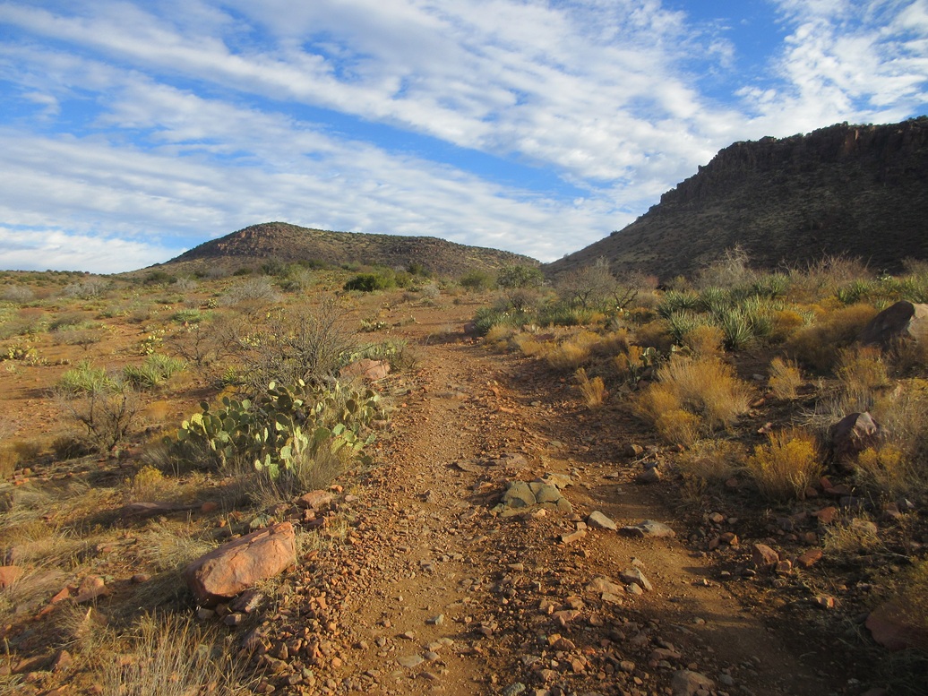
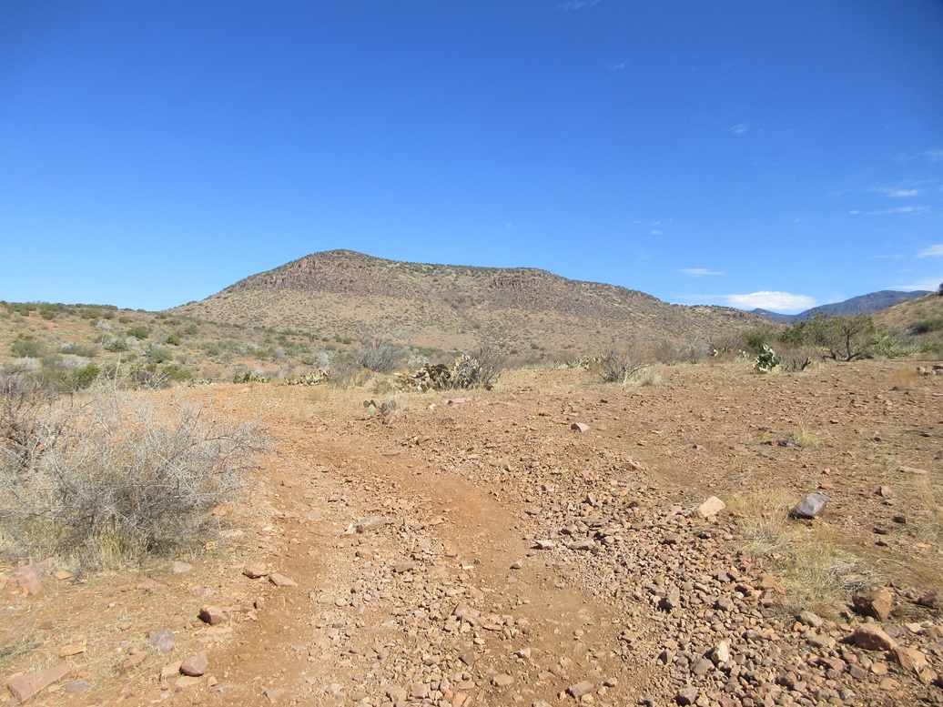
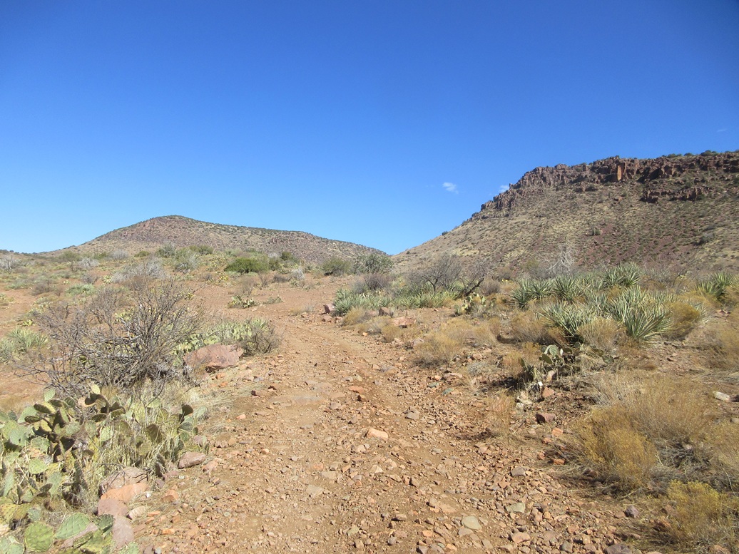
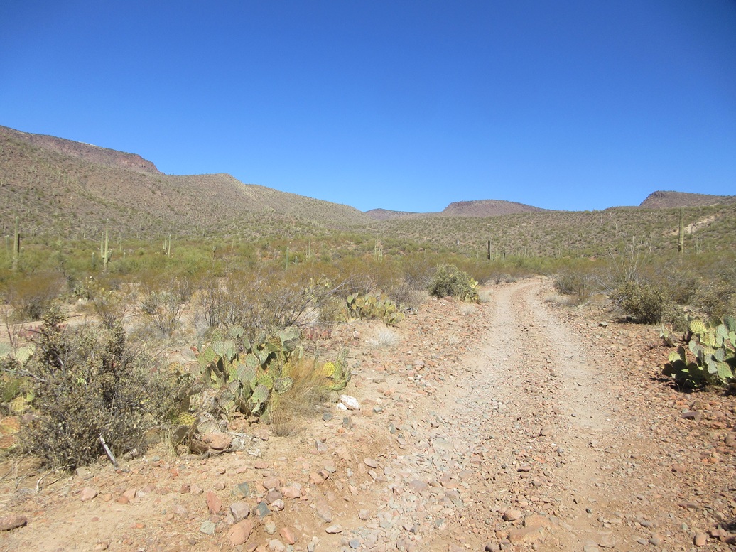
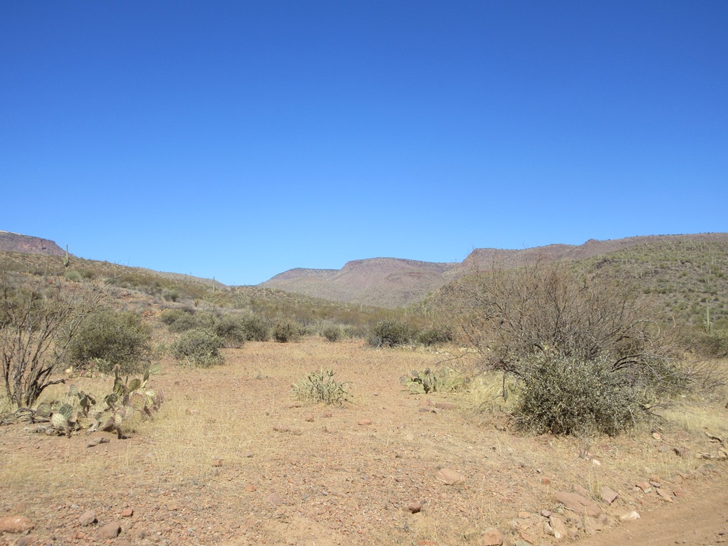
I followed the highway to A-Cross Road (FR-60), then followed this road for 9.8 miles, reliving my memories from three months ago when I was last here. The road is decent but with some rocks, so going fast is not an option. It took me a half hour to cover the distance to FR-895, which heads up into the hills, the same road that leads to Dutchwoman Butte.
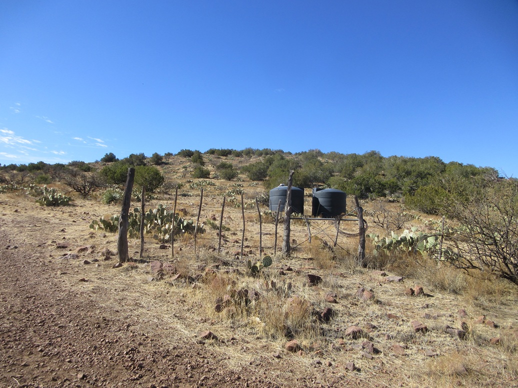
I was able to coax the Forester up this road for 0.7 mile, coming to a fence and gate near a corral. This is all Tonto National Forest land, but presumably a rancher has an arrangement to run stock here, and I would see some of this stock much higher up later on. The road was marginal and there was no way my car could have handled the road beyond the gate.
It was 7:30 when I rolled in and shut off the engine. The day was sunny and clear, cool for now, and I would be in shade for the next two hours, which would help. I got suited and situated, locked the car, and started the long walk up into the hills.
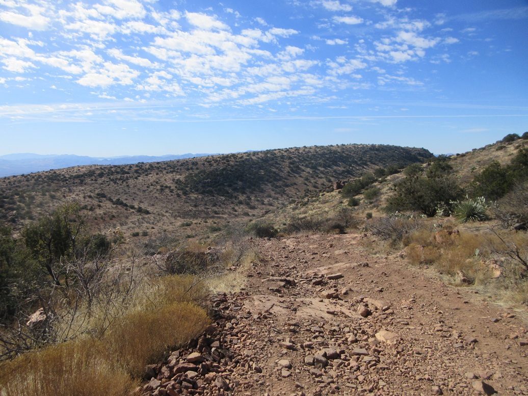
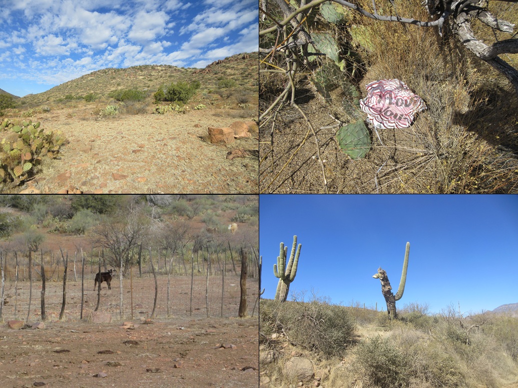
The hike was simply a road walk, but the road is rocky and rough, and often steep. I just put my head down and walked. In about an hour and twenty minutes, I had covered the distance (3.8 miles) to Whiskey Tank, a gain of about 1,300 feet. It was here I encountered some cattle. As usual, they stood on the hillsides, looking back at me.
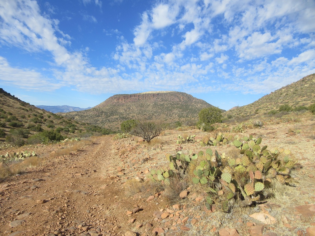
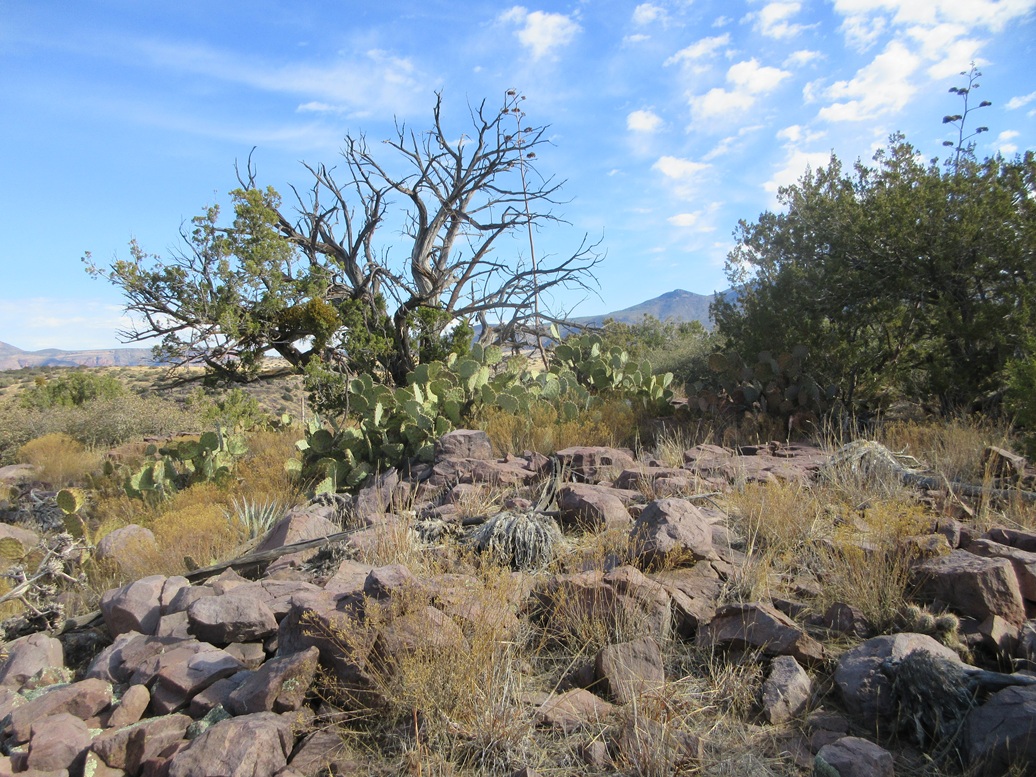
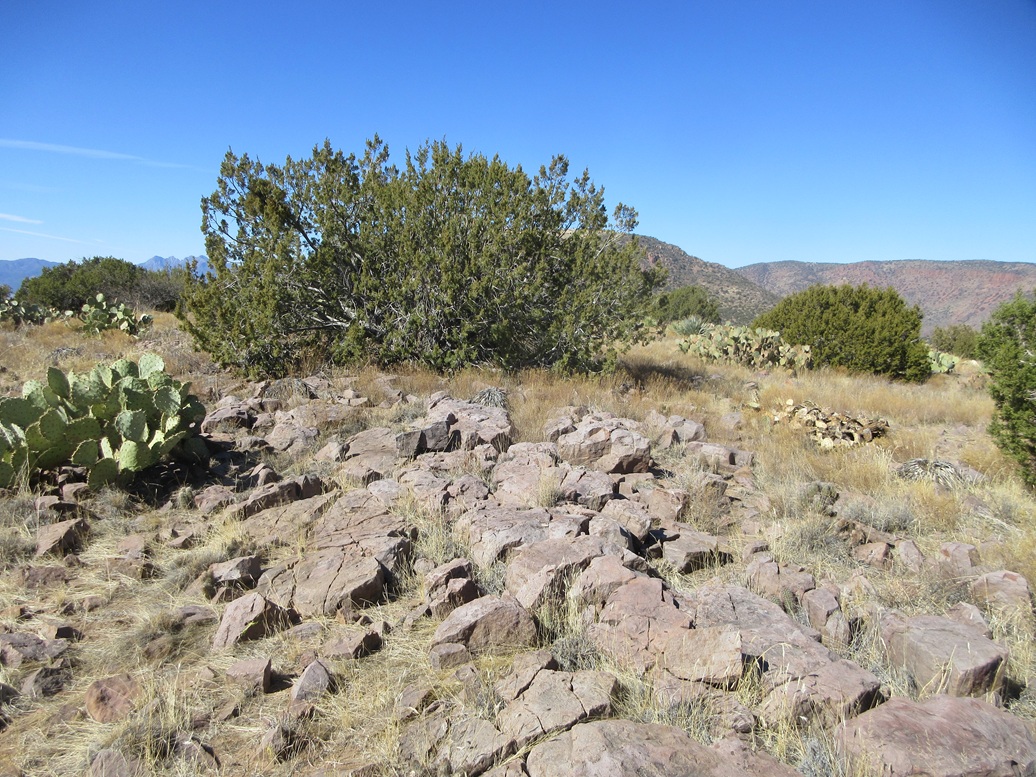
I wanted to climb the northern butte first, as it was higher and with more distance. Near the tank, the road makes a split, the left being FR-895, which I followed upward. This track makes a couple switchbacks, gaining about 450 feet, before dropping. At this road apex, I went west through the grass and scattered trees, the top a half-mile away and 200 feet higher.
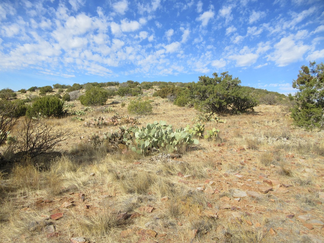
This off-road segment went well, the grade very lenient and the brush and trees mostly open with lanes. The rocks were rectangular big slabby things that were easily hopped upon and I could walk them for yards at a time. More toward the top, the trees (piñon and juniper, some oaks) closed in. Finally, I was on top this peak. It had taken me two hours to get here.
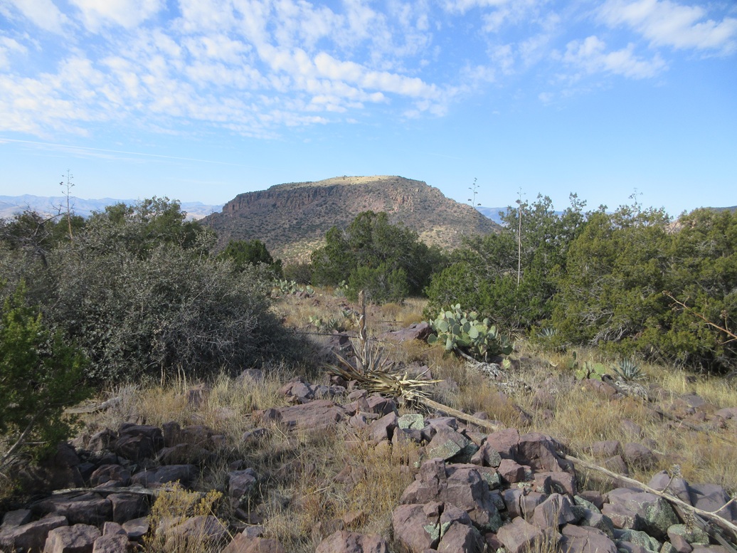
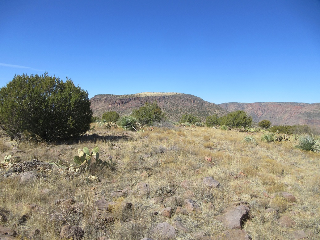
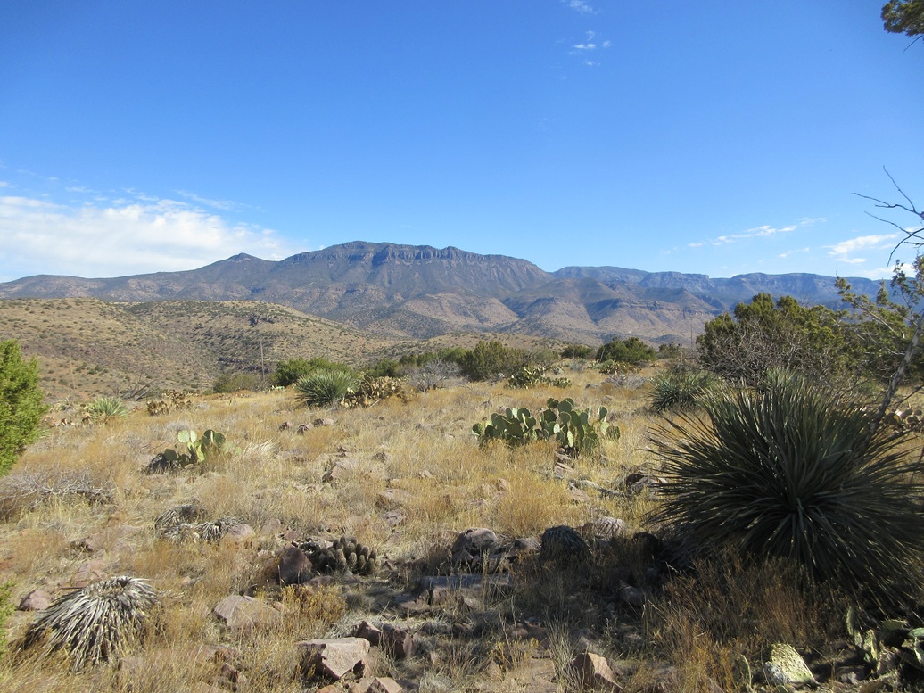
Views were tremendous, with giant Dutchwoman Butte rising across the valley. I could see our route we followed on that climb, and it didn't look friendly at all. I could see the waters in Lake Roosevelt, the Mazatzal Mountains and the Ancha peaks.
The top itself was flat and rocky, and the best I could do was narrow the top down to about a thirty-foot-square in which any of about ten rocks were the highpoint. I found no cairn nor register, not that I expected to. The only previous visitor was Bob Packard, 24 years ago. I spent about fifteen minutes up top, enjoying the views and the rest. The weather was delightful, sunny and calm with temperatures here in the 60s.
The walk back down went well. After two hours of going up on rocky, rubbly road, I had to switch gears and use different muscle groups to handle the downhill walk. As usual, every third rock wanted to roll or slip. Once back at the road split near Whiskey Tank, I stopped again for a break.
Elevation: 4,301 feet
• Prominence: 341 feet
• Distance: 1.9 miles
• Gain: 361 feet
• Conditions: Warmer
PB
•
LoJ
At this road split, I went east on FR-97 briefly, then right again onto FR-1766. There were more cows here, about twenty of them. They had all assembled in a pen, but it was not gated closed. They just chose to all walk in and be in there. That worked great for me.
I followed this track upward until it reached its apex, then walked through open grass and light trees to the top. This peak was much fster and easier than the northern butte, being half the gain relative to the tank, and about a mile less in overall distance. The trees were not nearly as thick here, either.
The top was, no surprise, not easily discernible. I again felt a thirty-foot-square of area held the likeliest rocks. But I could not locate a cairn or register up here either. Only one visitor has logged a visit, according to Lists of John. Curiously, it wasn't Bob. I'm surprised he skipped this one.
The views were also good. I had better views of Lake Roosevelt and with the sun now a little higher, better views of the Sierra Ancha without having to look into the sun and its glare. I was feeling tired but good, and took another fifteen minute break here.
Now for the long hike down. I retraced my steps back to the tracks, walked past the cows, and just started walking the road back down to my car. I had gravity to assist me now, but I still had to step carefully on the rubbly rocks in the road. More than a few rolled out from under me. I never fell but I did some nifty maneuvering at times to stay upright.
I was back to my car a little before 1 p.m., a five-hour and twenty-minute round trip hike in what I determined to be about 12 miles, possibly higher since I tend to be conservative on these figures. I was surprised to not have seen a single person all day. It was a Wednesday, but I figured someone would be up this way.
These two peaks were not difficult at all, and overall made for an excellent excuse to walk this road and hike them both. A hardy vehicle like a Jeep would be necessary on these roads. If so, one could cut down the walking mileage considerably.
I drove back to Globe, arriving about an hour later. I stopped in the shops briefly to kill some time. The road closures on US-60 are still in effect, every Tuesday-through-Thursday, 9 a.m to 2 p.m.. I wanted to give things more time before I got back on the highway.
As it was, I still got stuck in a stoppage for a half hour near the Queen Creek tunnel, where it was narrowed to one lane. I had no burning commitments in town so sitting in my car waiting this out was fine by me. I had no other choice. I was in the metro area in about another 90 minutes. It was hot here, into the 90s. Late February and already hot. I am not looking forward to the hot summer again.
|


|