The Mountains of Arizona
• www.surgent.net
|
| Apache Maid Mountain |
• Mormon Mountain Volcanic Field • Mogollon Plateau • Coconino County |
|
Date: June 9, 2008
• Elevation: 7,307 feet
• Prominence: 897 feet
• Distance: 200 feet
• Time: 1 hour (drive)
• Gain: 10 feet
• Conditions: Lovely
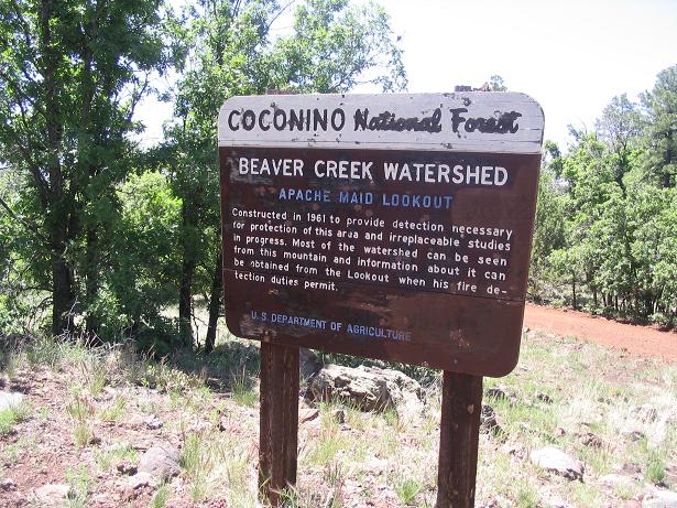
Apache Maid Peak was the second of two peaks we explored this weekend in the Coconino National Forest southeast of Flagstaff. Yesterday, I hiked Hutch Mountain, then we camped on its slopes. Today, before our drive home, we visited Apache Maid Mountain.
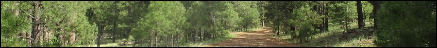
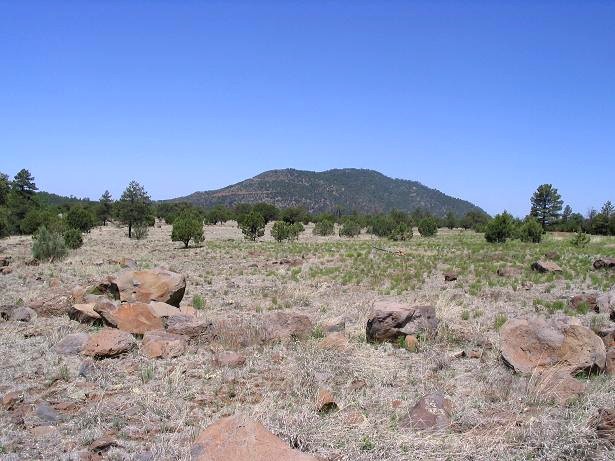
Apache Maid Mountain is easy to spot, a rounded hump east of Interstate-17, between the Stoneman Lake and the Camp Verde exits. It's more noticeable descending from the north and is easily the most prominent thing in the surrounding region. It will be in your field of vision whether you like it or not. We came in via Forest Road 230 near the junctions of FR-213 and FR-3 (Stoneman Lake Road and Lake Mary Road).
We followed FR-230 southwest for 7 miles to its junction with FR-229, following the signs to Apache Maid Peak, visible ahead. From this junction, we went south and caught FR-620, which leads to the top of the peak. The roads to this point were mostly all-weather gravel and hardpack, bumpy in very few places. FR-229 seemed overall better than FR-230.
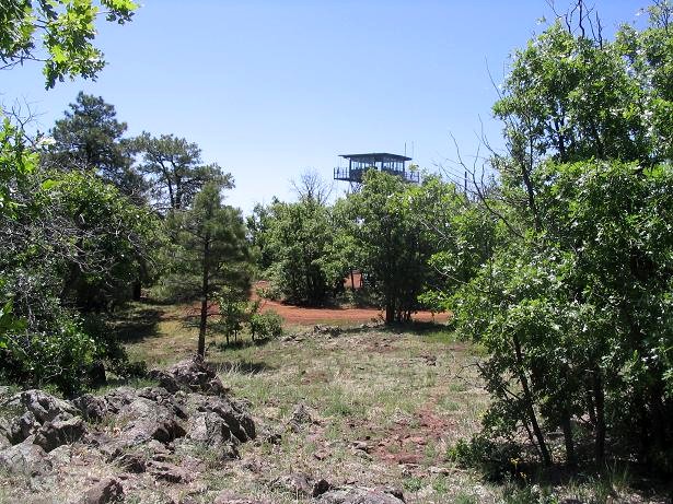
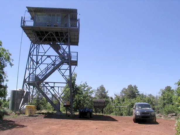
The drive to the top covers 4.5 miles from the FR 230/229/620 junction area. The first couple miles is along the flat forest valleys below the peak. The final 2.5 miles, give or take, goes up the mountain, gaining about 800 feet to top out at an active lookout tower. The road to the top was in great shape but exposed in a few places. A passenger car could make it if the driver is careful.
We arrived on top at 10 in the morning, in breezy clear weather. It was warm, and the bugs were zipping all over the place. The views are excellent: Humphreys Peak was visible to the north, rising above the Coconino plateau. The Sedona Red Rocks were visible to the west. Farther southwest were the Black Hills, with Mingus and Woodchute Peaks in the distance. We stayed up top a few minutes. I sauntered over to the "real" summit, a pile of rocks about 200 feet from the tower area. I found the benchmark, snapped a few photos, and returned to the truck.
On the exit, we explored Stoneman Lake, or the hole that supposedly holds the water in the lake. Then we drove home into the searing June heat.
In 2023, I returned to revisit Apache Maid Mountain, to actually hike it rather than drive the entire way.
|

|