
The Mountains of Arizona
• surgent.net
|
| Peak 5197 |
• Swisshelm Mountains • Arizona State Trsut Land • Cochise County |
|
Date: October 12, 2026
• Elevation: 5,197 feet ✳
• Prominence: 353 feet
• Distance: 5.5 miles
• Time: 2 hours, 45 minutes
• Gain: 720 feet
• Conditions: Cool, sultry, cloudy with some sun, rain at the end
Arizona
•
Main
•
PB
•
LoJ
This peak lies south of Rucker Road, about two miles west of Peak 5210, at the north end of the Swisshelm Mountains. I climbed Peak 5210 almost exactly a year ago. I'd return today for this peak, and possibly one other nearby one if things went well.
The state has been dealing with three days of Hurricane Rachel remnants, which mostly hit Southern California and far-west Arizona. Bisbee just got a lot of clouds and some rain, but nothing biblical.
Today started sunny with some left-over clouds. Weather reports said that the clouds should clear out by mid-day. Lows were in the 50s, and highs would only be in the 70s.
I was on the road a little after 5 a.m.. It's about a 50-mile drive to the general area, and I wanted to time it so that the sun was just rising when I showed up. I was on Rucker Road a little after 6 a.m., just in time to catch the rising sun, which glared out any visibility that way. Driving the road went slowly as a result.
I drove in a little past milepost 9. A track branches northwest off of Rucker Road, near spot elevation 4676 as shown on the map. I rolled in a little ways and parked in a clearing ... with some cows nearby. They started to get up and walk my way. One even kind-of galloped toward me, like a friendly pet waiting for some cow chow. I decided to leave them, and I parked closer to the road. This is State Trust land here.
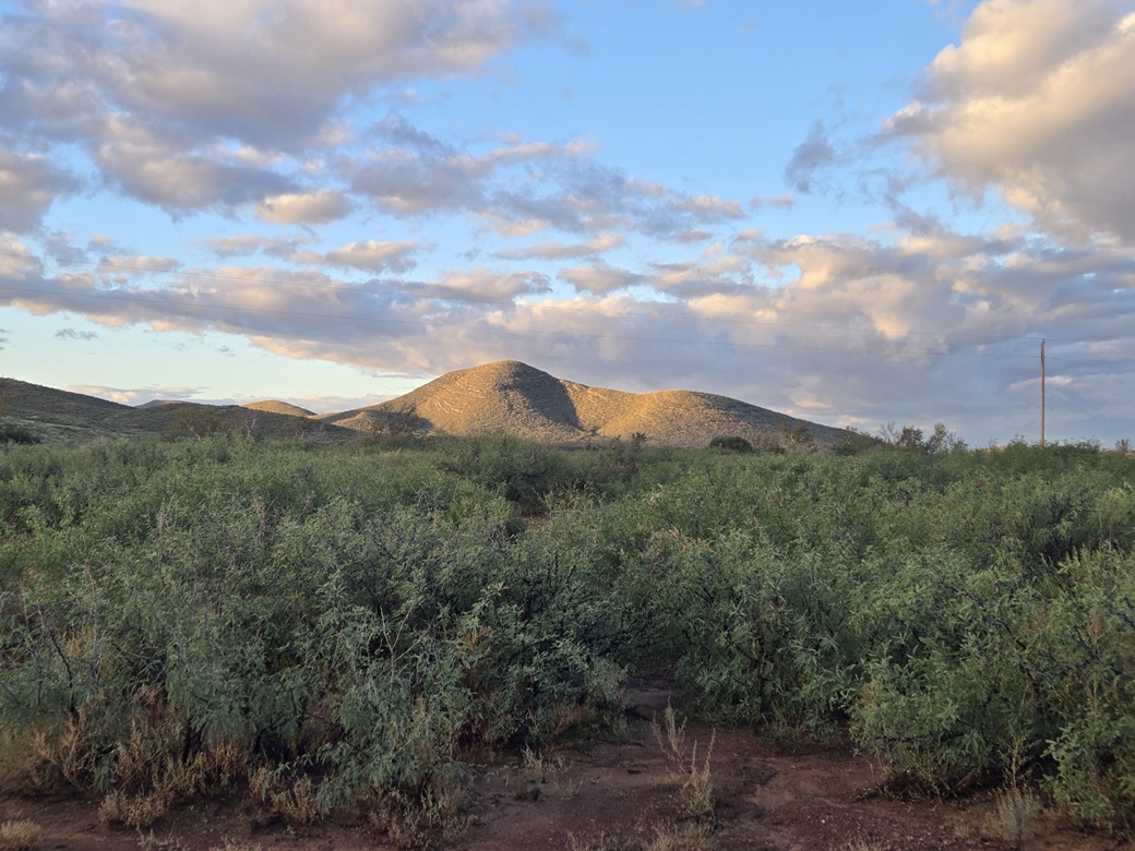
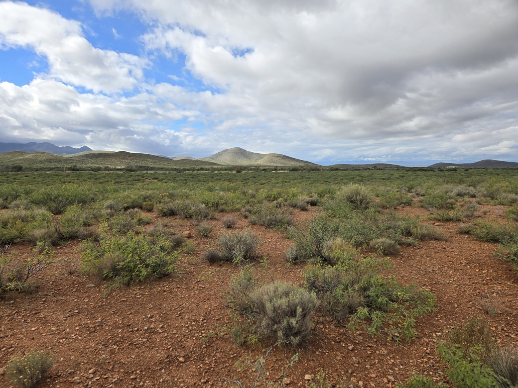
The peak rises about two miles on a straight line to the southwest. It is a limestone peak with the familiar striations and tiers. Between me and it was a variety of landforms: some lower hills, desert plain, and a broad and braided watercourse called the Whiteriver Draw.
I was walking at 6:20 a.m.. I crossed the road and then into the low brush, then down about thirty feet into more brush. It was dense, with a lot of mesquite that grew close together so as to create barriers.
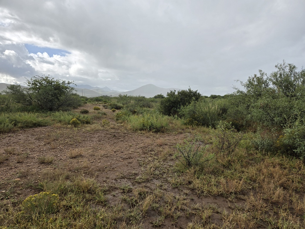
I was near or within the Whitewater Draw. It's about a half-mile wide and very flat, and the water just collects into pools. After three days of rain, it was muddy and full of puddles.
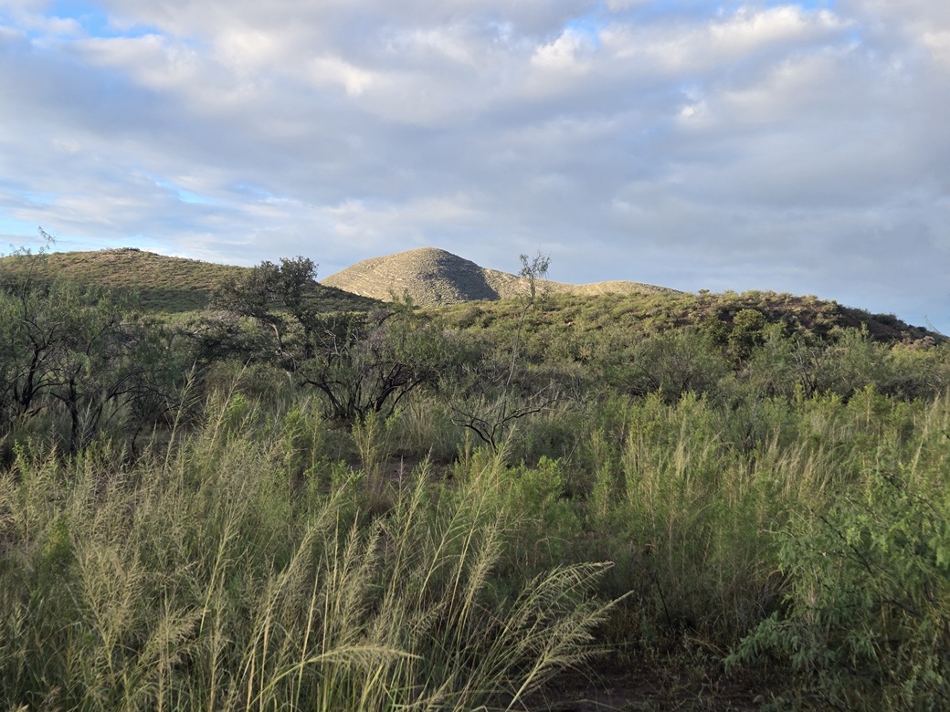
Wandering through the mesquite and brush was tolerable. I squeezed through a fence, crossed a track, then entered into more mesquite and brush. Then I came to the grass. This was serious major-league grass. It rose easily 6 feet high. I could not see my feet. It clumped together in such a way to make footing very challenging. When I could put my foot on ground, it was muddy.
I backed out and trended more west, aiming for some bigger trees. I lucked out and found a track that got in about halfway through this grass and mud section. I still had to walk around the big pools or hop across them. Finally, I was on the opposite side of this mess and was able to gain a little elevation, now out of the draw and onto regular desert slopes.
Ahead were some low hills, so I aimed for them. I crossed a couple more fencelines, then marched up one hill to its apex, where I had a full view of Peak 5197. I had covered a little over a mile but had been hiking close to an hour.
I was going this way because I was trying to avoid a ranch outfit nearby. I did not want to disturb them or have them tell me to go on and git. I had started on State Trust land. That Whitewater Draw was mostly within a ribbon of private land. But now in the hills, I was back on State Trust land.
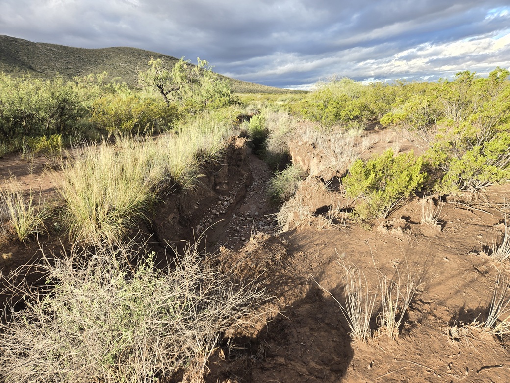
I descended this hill toward the broad valley, the peak about a mile in the distance. This went very well, with good footing and lanes the whole way. At the lowpoint ("thalweg") of this valley, I encountered another challenge: arroyo trenches about ten feet deep and just a few feet wide.
There was no easy way to drop into and out of these things. The slopes were vertical. I had to walk alongside them until I found a weakness. Once in, I walked within the trench until I found a way up the other side. I had to do this a couple more times. Now I was on the slight uphill toward Peak 5197.
The uphill hiking went well. It steepened in degrees but was never too steep. The ground was covered in limestone rocky rubble. The actual limestone karst rock formed small cliffs about 4 feet high, or leaned back, so that walking on them was easy. The footing was very secure. On the rubble, not so much.
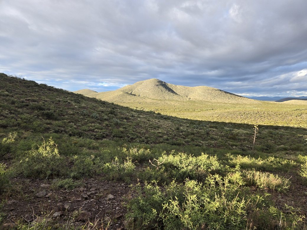
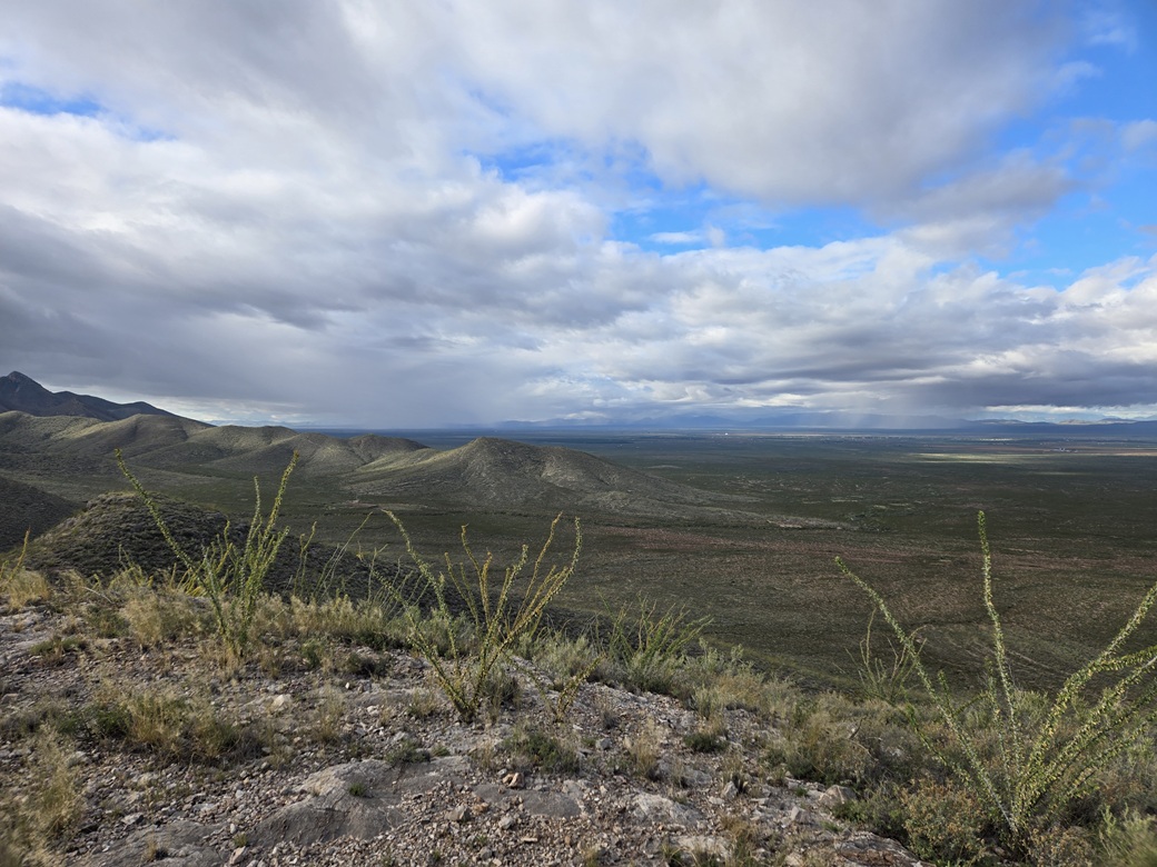
I got up to the hill's high ridge north of the peak. I had sunny weather up to now, but now some clouds had moved in. I could see some active weather (as in rain) off to the west toward the Mule Mountains.
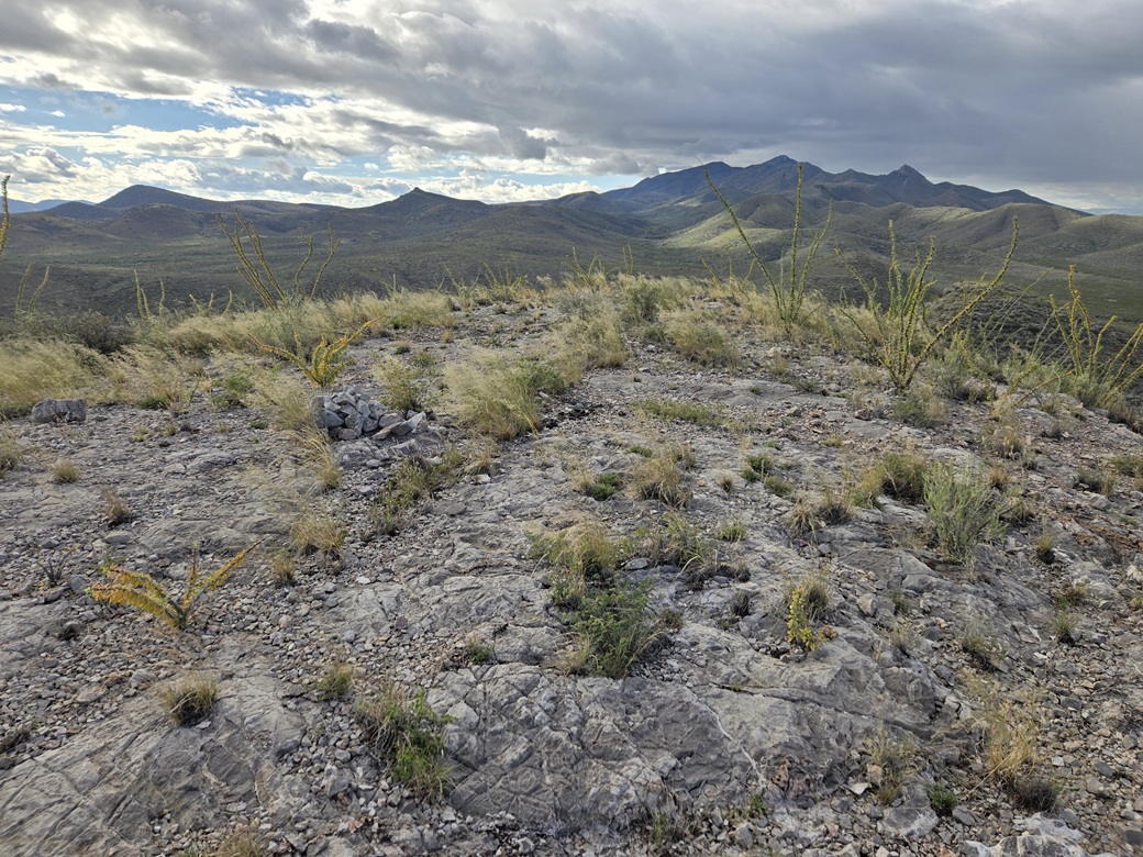
The summit was just right there, about 180 feet higher. I continued up slope, encountering some ocotillo up here. I had to do some end-runs around a couple moderate cliffs. Then, I was on top. As is often the case, the final twenty feet is always anticlimactic, the top just a rounded hump of rock and low grass.
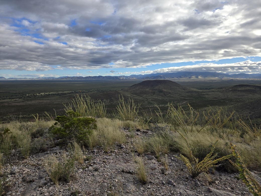
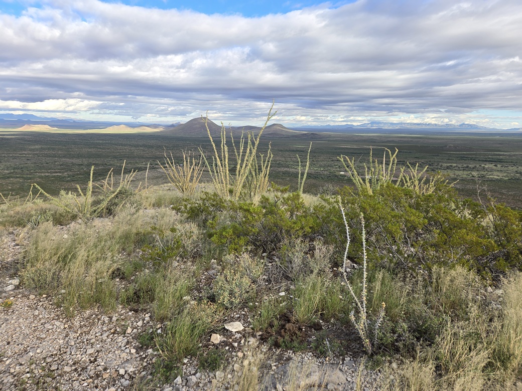
I found the register and signed in, then snapped a few images. With the clouds and the low sun, I had good lighting in some directions, not so good in other directions. I did not tarry. Those stormy cells from the west were coming my way.
I descended the same way, and hustled downhill fairly quickly. I was able to get through those arroyo trenches quickly too. Rather than go up and over the hills I had come through earlier, I decided to angle more north and stay low. I would be closer to that ranch house, but I sensed I was not very visible this far away. I never had any problems.
I followed whatever openings I could. I dropped into Whitewater Draw again and hoped for the best. It actually went better than expected. The grass wasn't so thick and I could see where to step. I did have to ease around some muddy pools and hop over one streaming rivulet.
This put me north of the Draw and actually very close to Rucker Road. I came upon that track I mentioned earlier and followed it east. A fence parallels this track and I wanted to cross through it the same place as before, where the strands were wide enough to squeeze through.
So I walked that way, and hit a big mud puddle or pool about every hundred feet. Then I tripped on something and landed right into the mud. My pants were caked in the mud, as were my hands and forearms. Yuck. I got myself up and tried to brush off what I could. Then it rained.
Those cells had caught up to me. The peak was shrouded in them. But to my relief, the rain was just a few minutes of a light sprinkle. The air temperature was still very comfortable, in the high 60s.
After more walking, I decided to just squeeze through the fence the first chance I had. I did so, then walked up a slight uphill to catch Rucker Road. I had emerged about a hundred feet east of my car. It was almost 9 a.m. and I was done, and glad to be out. The rain cells seem to pass on by quickly, and I had more sun again.
This peak took some effort. It wasn't difficult, but coming here so soon after a storm meant that the mud and water would be a factor. I was filthy. My pant legs were muddy from the knees down and my shoes were covered in mud. I threw my stuff in the car and exited.
The other peak I had in mind rises a few miles west, a lone bump near the Squaretop Hills that I never got to on my other visits to the area. I drove to the access road toward it and saw a hundred-foot long puddle in the road. Forget it. I called it, and wanted out of my muddy clothes. I changed right there, and got back onto Rucker Road, and headed home. I was home about an hour later, not even noon yet. It was very rainy and windy in Bisbee.
It was a good morning out and I am happy I was successful. This peak is one of many anonymous peaks in the region, very few people bothering with them. There was no challenge to it, but yeah, in drier conditions, the trek would be much more efficient.
|


|