
The Mountains of Arizona
surgent.net |
|
Peak 2143 • Peak 2201 I had one main peak on the agenda, Peak 2143, which rises about three miles south of highway AZ-74, near the Saddleback Mountain Rifle Range. A second peak, Peak 2201, was added on as something to do if everything went well on the first hike.
Date: October 28, 2026
• Elevation: 2,143 feet ✳
• Prominence: 453 feet
• Distance: 6.8 miles
• Time: 2 hours, 45 minutes
• Gain: 650 feet
• Conditions: Sunny and cool
Arizona
•
Main
•
PB
•
LoJ
•
Interactive map
I was up before dark, but timing it so that the sun would be rising when I arrived to the rifle range. From Scottsdale, I followed the Loop-101 to Interstate-17, then highway AZ-74 about ten miles west.
It was still dark, so I pulled into a cleared area along the main road into Lake Pleasant, and used this down time to change into my hiking clothes and boots. Then sun was barely up when I got moving again. I went another mile west to the entrance into the rifle range.
This road is not that well marked. Just a single sign, then a sudden left. It's easy to miss and that may be by design. I drove in on this road to the rifle range entrance. The road itself goes another mile or so south toward the peak, and I hoped I could drive some of it. However, no such luck. It drops about eight feet into an arroyo and it looked too rough for the Subaru. So I rolled into the rifle range and parked in a small lot just before the main entrance gate. It was 6:30 a.m. and I was the only one here.
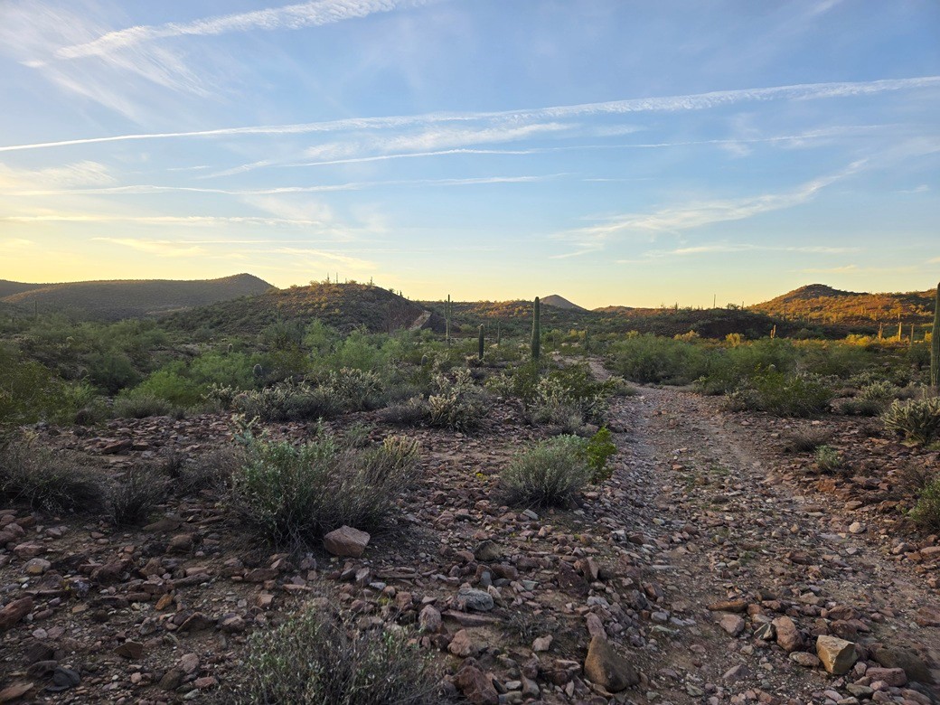
Already dressed and ready, I was on the move quickly. I followed the road south. It passes a few more ad-hoc shooting areas, and is not a terrible road after the arroyo. A bigger vehicle should be sufficient. But a half-mile in, the road gets very rocky, blocking anything but an ATV or the sturdiest of Jeeps.
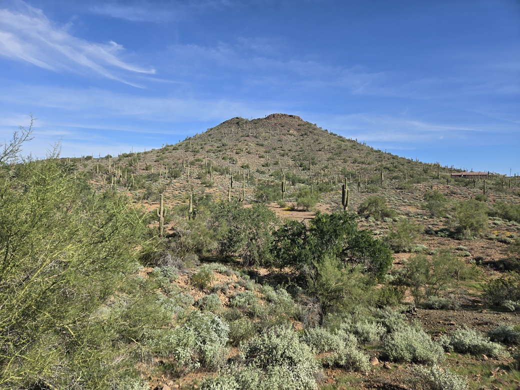
I just followed the road down and up and down and up as it wandered through the low ridges and arroyos. It gains slightly to a break in the ridge about a mile in, and here I had my first good view of Peak 2143, a conical mountain still a couple miles distant.
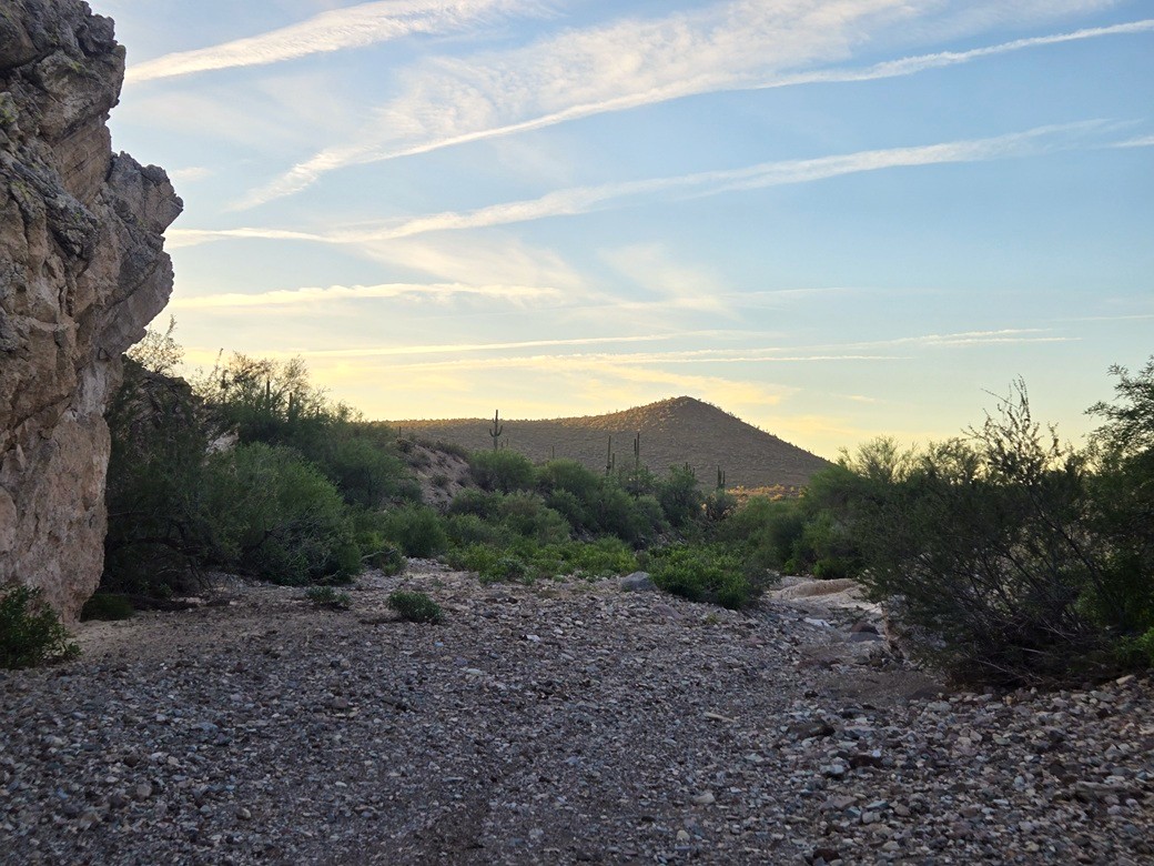
The road drops into a creekbed. For the next mile or so, I'd be hiking within this creekbed. It was wide with coarse sand, and often very rocky. But it wasn't brushy and I could make good time. Closer to the peak, the walls started to get higher and the creek started to drop to the southeast. It was time to ascend out of it.
I had satellite images that showed a road should be somewhere about here, and I found it quickly. I ascended to this road, then ascended some more to a higher bluff. Now I was very close to Peak 2143, less than a mile.
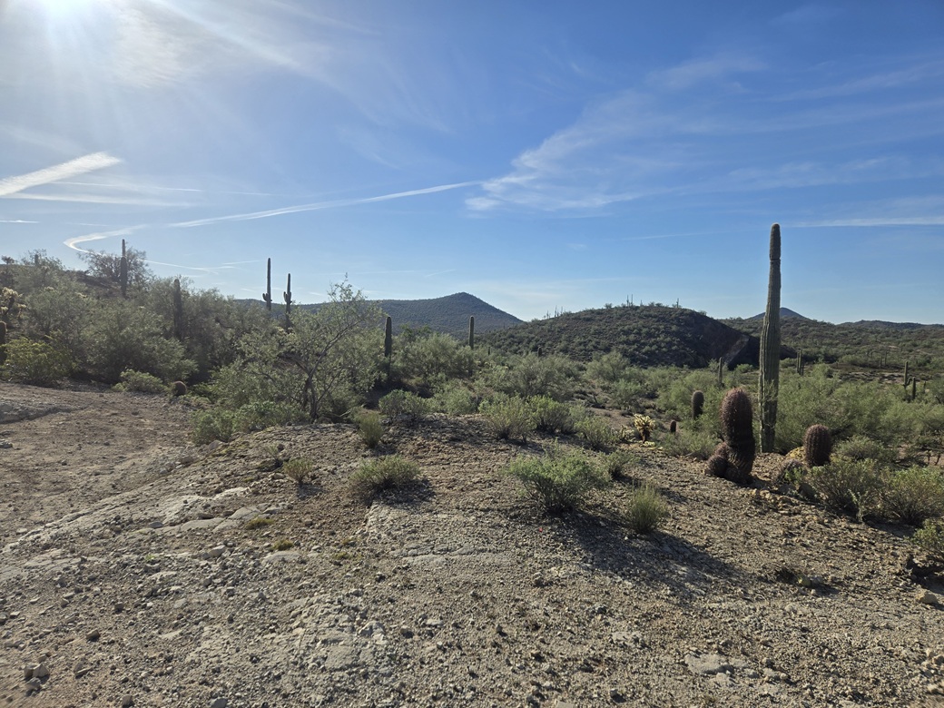
I stayed on the road as it trended southwest. I wanted to get to its apex before leaving it and aiming for the peak. Once off the road and in the brush, I was able to follow cattle paths (probably burro paths) much of the way toward the peak. Brush was spaced out and there was no low grass to hide the ground.
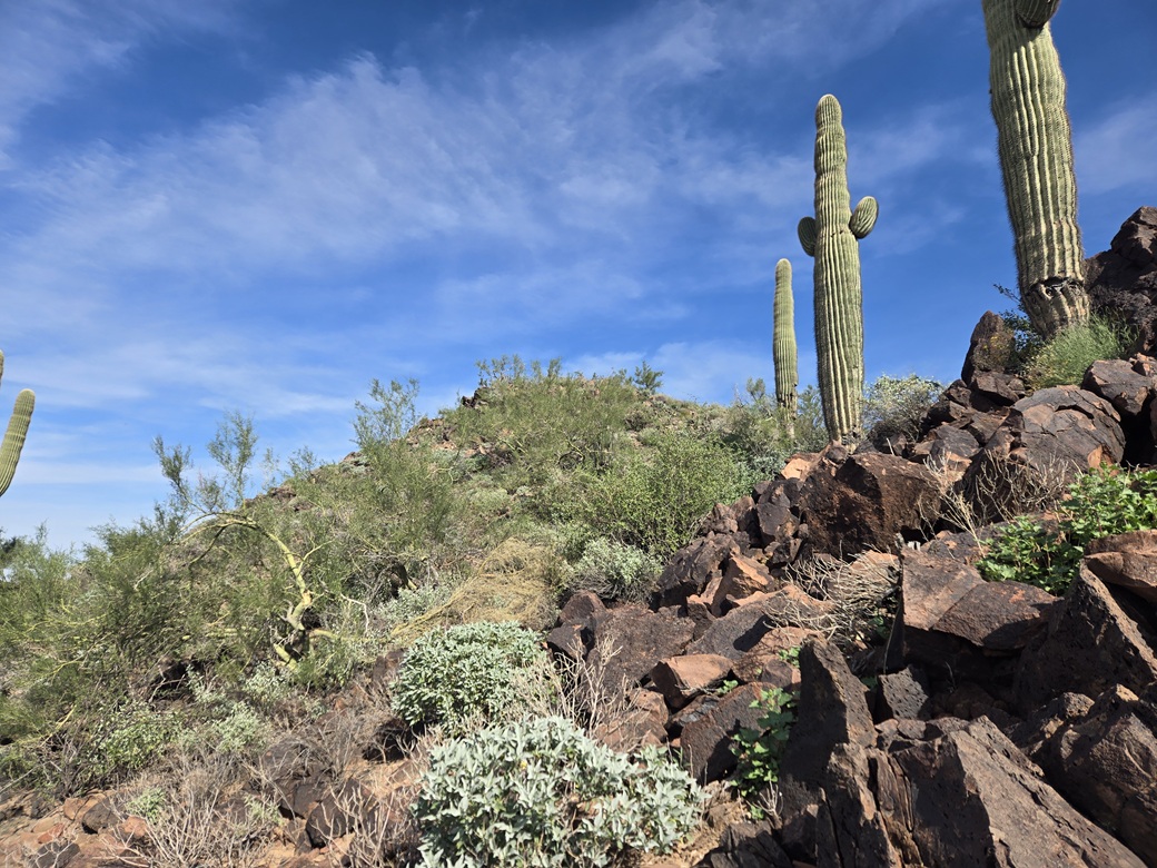
Soon, I was below the peak. It is a typical conical mound of volcanic boulders. The grade steepened but stayed gentle, and I just moved upward carefully, hopping from rock to rock. Higher up, it got a little steeper and I needed to use the hands to spot myself through a jumble, although I wouldn't call it scrambling.
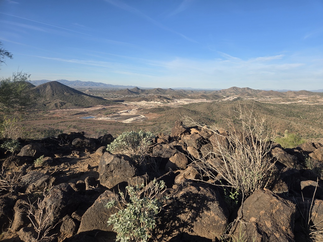
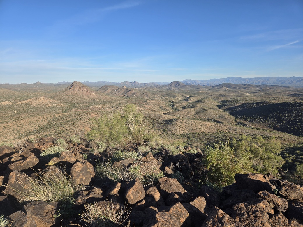
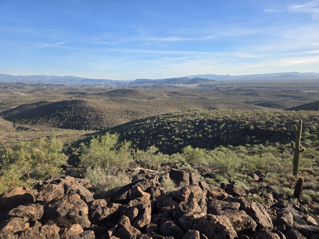
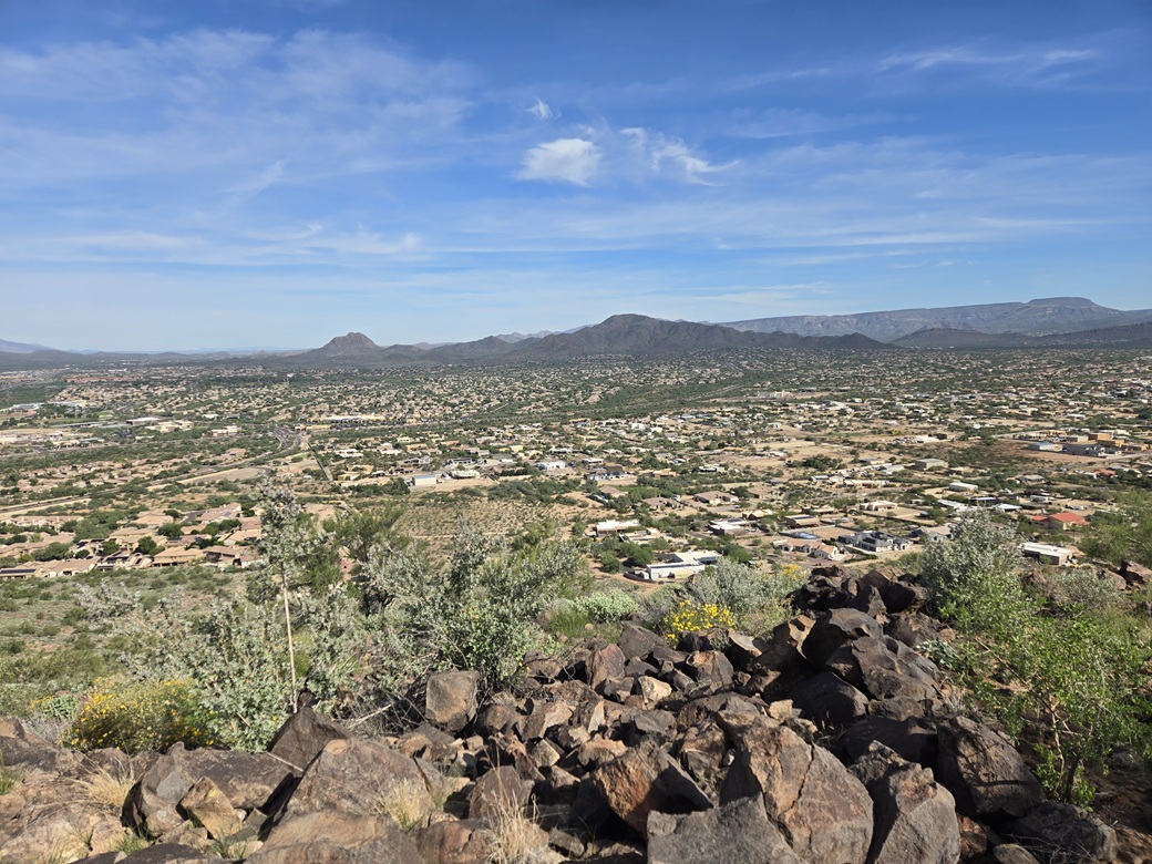
This fed me onto the summit, about an hour and twenty minutes after starting, a distance of just under three and a half miles. I had good views of everything, the sun still low in the east. I could see the sprawling Vistancia housing development and nearby Twin Buttes North as well as many other peaks, this being the southern extent of the Hieroglyphic Mountains.
I found a register and signed in. It was placed here in 2018, and I was the first to sign in since then. Lists of John shows just two previous visitors, Bob P. in 2016, Bob M. in 2014. I did not recognize the name who signed in in 2018. It appears they are going to build homes between this peak and Twin Buttes. If so, civilization could be within a mile of this peak. Maybe in the future this peak becomes a popular hiking peak with a nice trail, benches, ramadas and a Starbucks halfway up.
I spent almost 15 minutes up here, enjoying the views. It was quiet for now, and the temperature was still pleasant, in the low 60s. For the hike down, I generally followed my ascent track. However, as I got close to the creekbed, I followed some parallel roads just out of curiosity, before re-entering the creek and meeting up with my ascent track.
The walk out went well and quickly. With the sun higher, I got better images of the peak and surrounding countryside. I got near the rifle range, only to discover the main gates closed! My car's in there. What's the deal? What do I do?
I saw some guys in there so I called out and they said to just come on in. The gate was just dummy locked. There are two gates: this one, and a sturdier metal sliding gate farther in. I had parked in the area between them. They were staging there with all sorts of tools. They were friendly and explained they work for the BLM and shut down the shooting range for a few hours to do some upkeep on it. We had a good chat. They asked where I had been, and asked if I saw any "arky" artifacts, as in archaeological. I had not. They were getting ready to leave anyway.
The round trip took 2 hours and 45 minutes and went very well. I was pleased, and still felt energetic. It was barely past 9 a.m., so I decided to go take a look at Peak 2201.
This peak completed another USGS "Quad" map, the Biscuit Flat map with six peaks. This was the last of the six ranked peaks on this map I had yet to climb. Naturally, I had no idea of this until I got home and looked it up.
Elevation: 2,201 feet ✳
• Prominence: 302 feet
• Distance: 2.25 miles
• Time: 1 hour
• Gain: 590 feet
• Conditions: Sunny and pleasantly warm
PB
•
LoJ
•
Interactive map
Back on AZ-74, I headed east to Interstate-17, then took it north a couple miles to the Pioneer Road exit, going right (east), immediately to a light where it meets Gavilan Parkway. I parked in a cleared area near this intersection. There were twoother cars here already.
Peak 2201 (2193 feet on the map) is one of two ranked peaks in this small batch of hills, rising to the north and surrounded by homes. These hills have no name. They appear to me as an extension of the Union Hills. The surrounding community is called Desert Hills. The peak has no name either. The only named feature here is Micro Benchmark, atop a lower ridge closer to where I had parked.
My plan was to walk up a road that leads to a cell-tower atop the ridge, but then bail and go cross-country toward the peak. This is what I did, and it worked out fine. I ended up dropping about 180 feet though, into a drainage, before beginning the ascent toward the peak. Brush was not a problem.
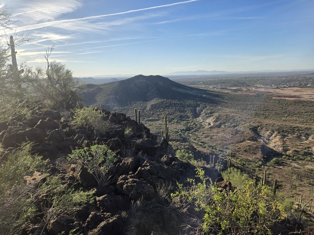
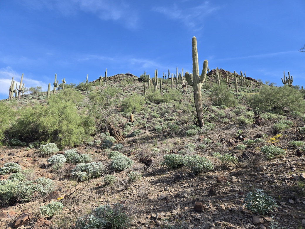
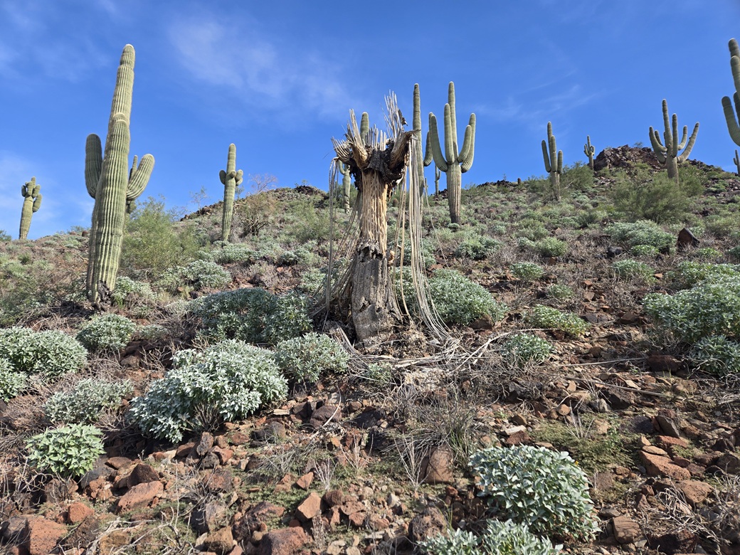
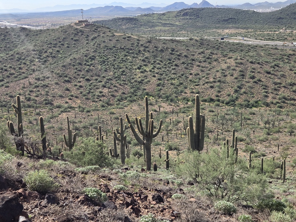
The peak is an attractive peak with steep slopes of volcanic rock covered in saguaro, and a top ridge composed of two summit knobs. From the road, the slope looks impossibly steep. However, once on it, it lays back nicely. Footing was usually solid and I had no trouble at all hiking up the slope.
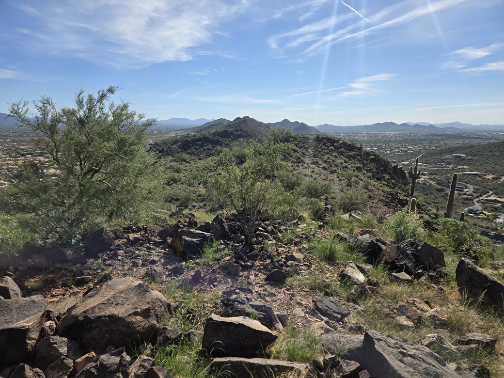
This fed me onto the saddle between the two peaks, the higher one being north. I ascended another thirty feet and there I was, on top of the peak. The top is rocky, and a few past visitors had scratched in their names into the rock directly. I had good views, and I spent a few minutes looking around. I could hear the din of traffic on the interstate.
For the descent, I eased down the slope with no trouble. Instead of going back up to that cell-tower road, I just stayed low and followed drainages back to Gavilan Parkway. This meant paralelling the back fences of homes. But I was sufficiently hidden to where no one would see me. No dogs barked at me either.
Once back on Gavilan Parkway, I walked it back to my car, a round trip of an hour. This route had been a shade longer, but did not require any extra up and down. There isn't anywhere to park right here except back at the Gavilan/Pioneer junction. But the distances aren't long.
I liked this peak a lot. I assumed since it had such low prominence that it was just some boring bump, but it turned out to be a pretty peak requiring some actual effort to attain. The way I went seems to be the only way to access it without crossing someone's property.
There is another ranked peak to the southeast. This one had been undergoing some development and an ugly road has been bulldozed into it. The summit is flat and remains bare. I don't know what the plan is, but I suspect someone is going to build a home atop it. I hope not, but I am unable to find any information online about this construction.
It was now late morning and I was done, and feeling good. I headed back down Gavilan Parkway and stopped for a spell at the Starbucks within the Albertsons on the Carefree Highway. From here, I proceeded south and did some scouting on the roads near the McDowell Mountains, looking for places to access the reserve not near any of the official let-in points. I was back in town by about 1 p.m..
|


|