
The Mountains of Arizona
• www.surgent.net
|
| Bursera Peak |
• Phoenix South Mountains • Bursera Ridge • Maricopa County |
|
Date: January 18, 2020
• Elevation: 1,956 feet
• Prominence: 206 feet
• Distance: 3.2 miles
• Time: 2 hours
• Gain: 705 feet
• Conditions: Gorgeous blue skies and no clouds
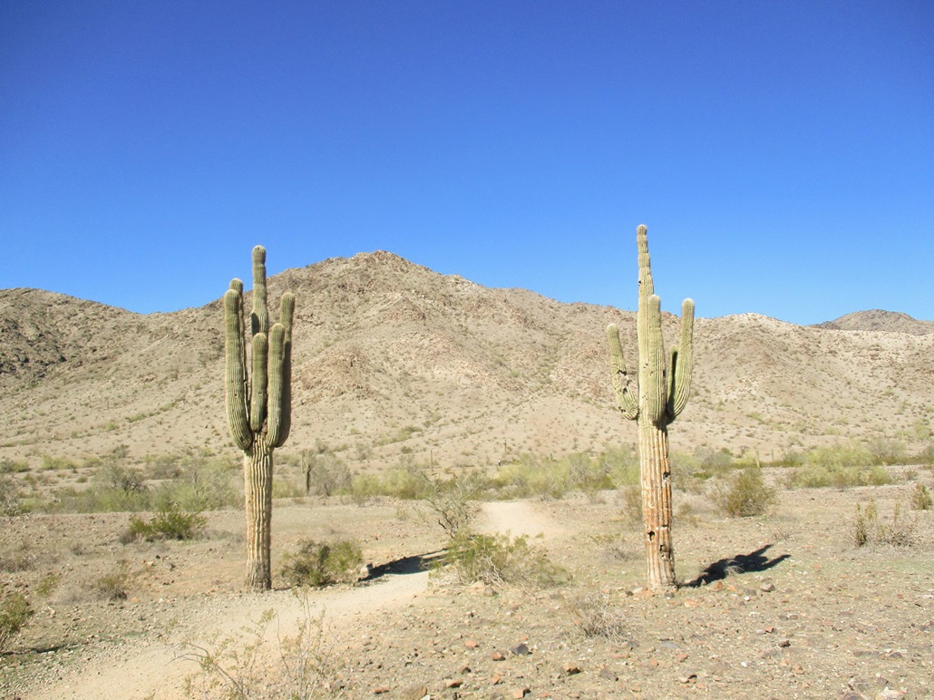
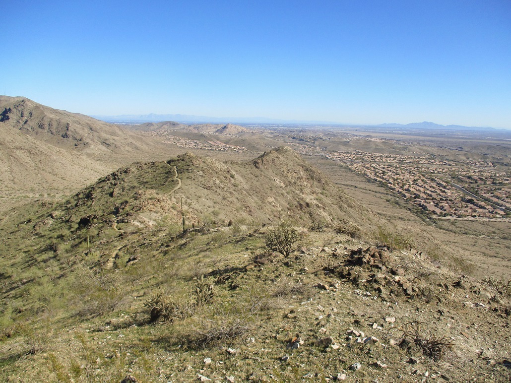
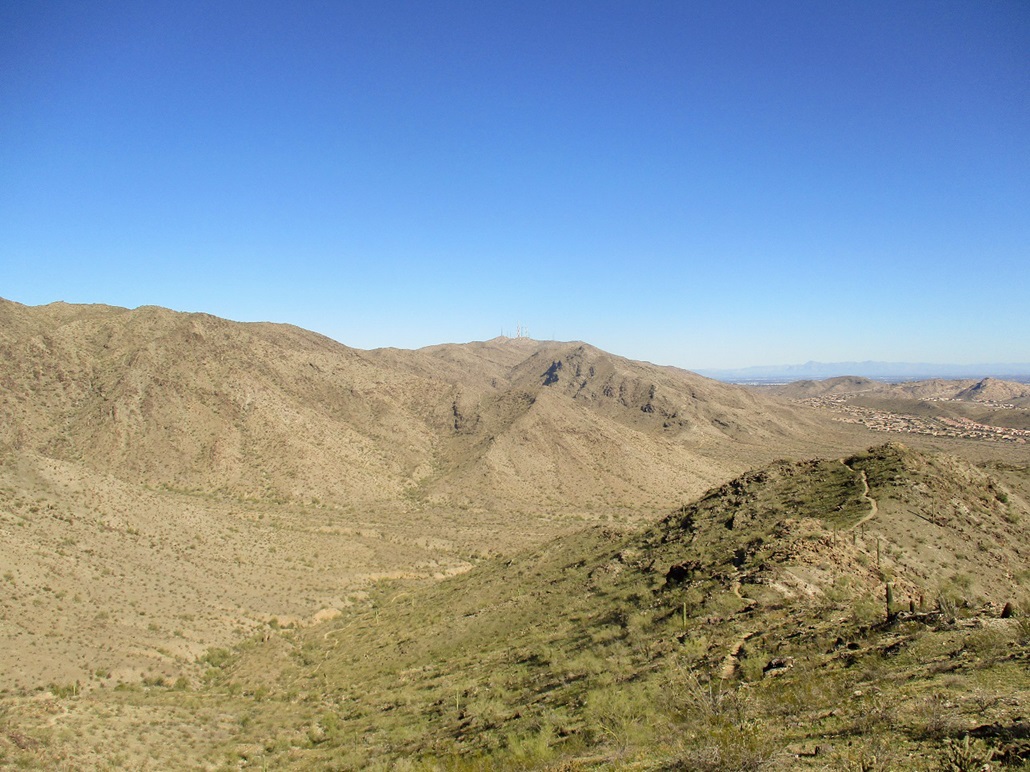
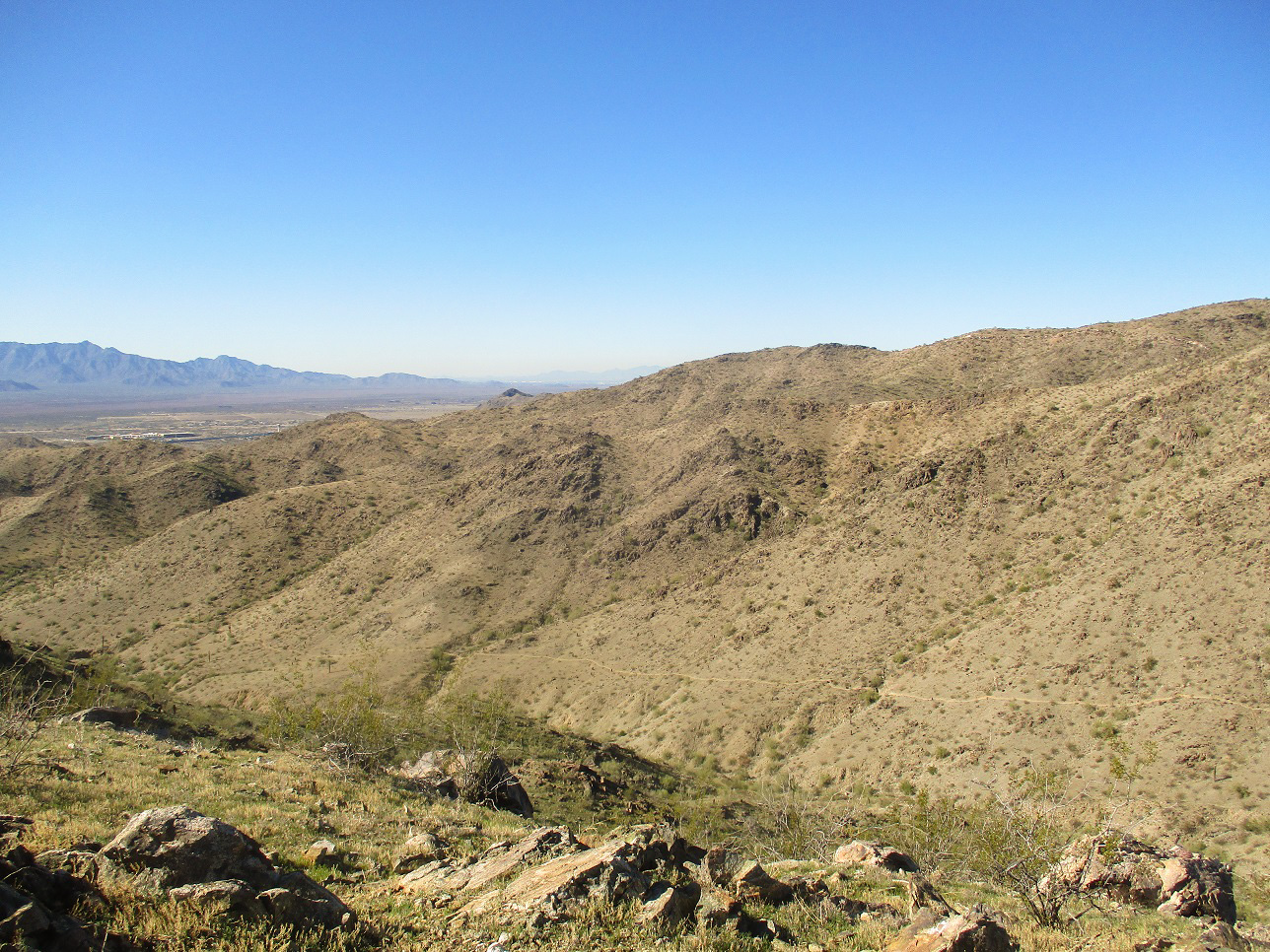
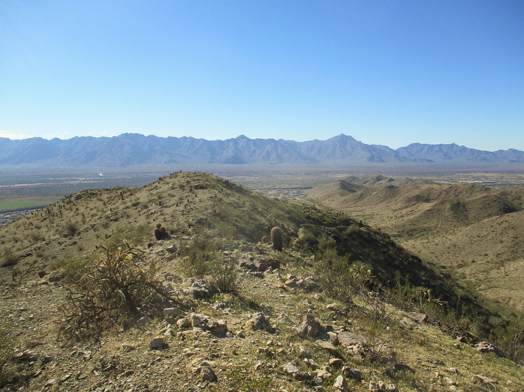
Bursera Peak is a 1,956-foot hilltop, the highest point along the Bursera Ridge of the Phoenix South Mountains. This ridge is the southwest-most ridge of the mountain range, and access to it is made much easier now, with the recent completion of the Loop-202 freeway south of the South Mountains.
I had to stay home this morning as my contractor was completing the tear-out of the old tile floor at our place in Scottsdale. He was done with his tasks by noon. The day was beautiful, sunny and cool, with no clouds for hundreds of miles. With the rest of the day open and knowing that idle hands are the devil's workshop, I thought about occupying myself with a hike.
I needed something close by, short and logistically simple, as I was getting a late start. I was aware of the Bursera Trail and decided this would fit my needs nicely. I want to explore the South Mountains some more anyway, and hike some of its trails I otherwise overlook.
From Scottsdale, I followed Loop-101 south to the Loop-202 intersection, then that westbound to the 17th Avenue exit, then north to Chandler Boulevard, then west to the small 19th Avenue spur road and the parking lot, a let-in point to the trails of the South Mountain Park. The one-way drive covered about 25 miles. Cars were parked along the main roads, so I assumed all the spots in the actual parking lot were taken. I went in anyway, and to my luck, someone was pulling out at that very moment, so I scored a spot. It was nearing 1 p.m. when I started hiking.
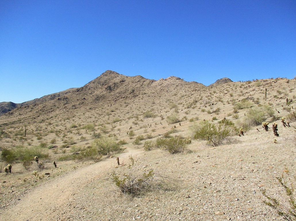
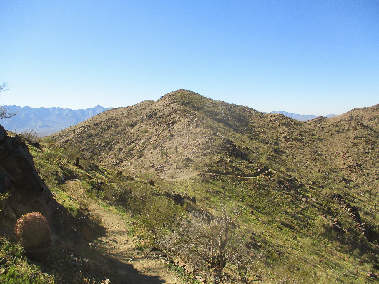
I followed Pyramid Trail northbound. It slowly trends east, and after about ten minutes, I came to the junction with the Bursera Trail, going left. The Bursera Trail angles left and curls around to meet the toe of the east end of the ridge.
The trail now heads westbound and gains steadily up the ridge, swinging in and out of the folds of the land, going upward but often bypassing the highpoints of the ridge along the way. There were a few people on the trail but it did not feel crowded. The trail itself was wide and in great shape, and I made good time. I could see the trail getting higher and higher up ahead, near the presumed summit.
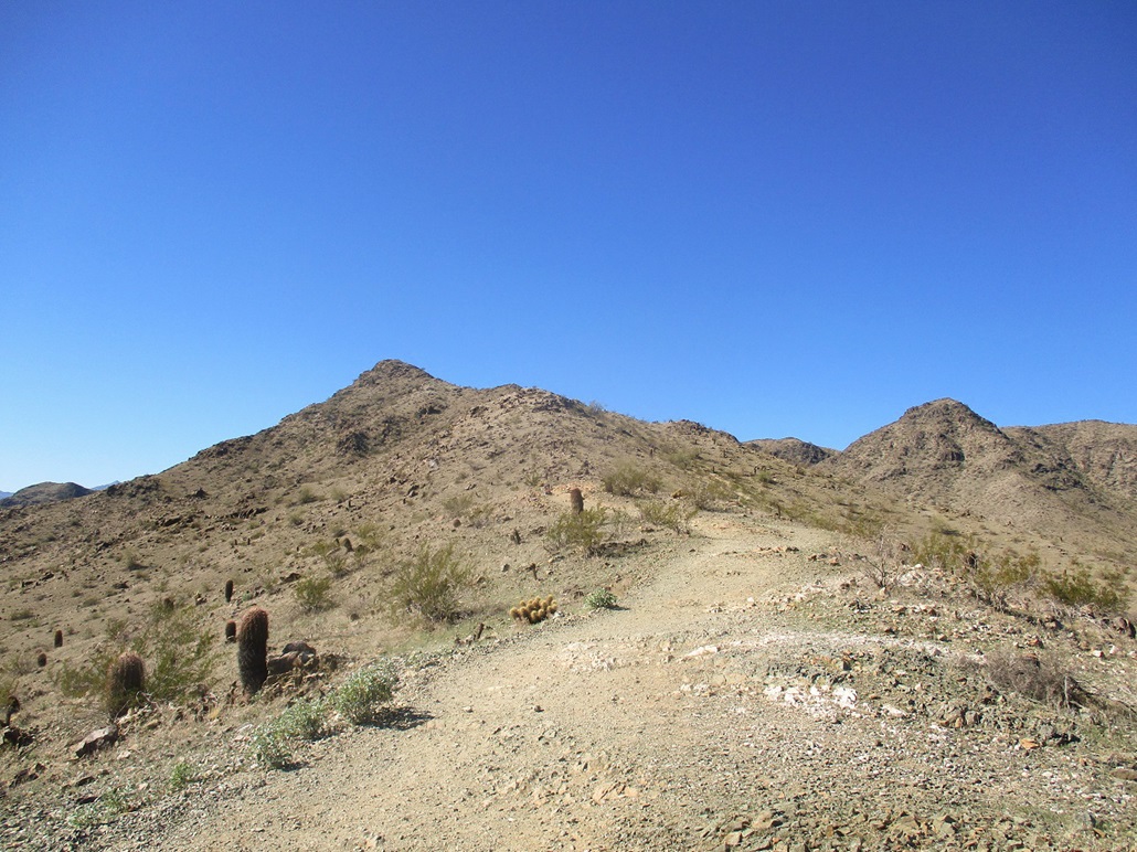
Quickly, I was at the highest point along the trail. I found a scant path and followed that up another 30 feet to top out on the summit. The one-way hike had taken 45 minutes and covered 1.6 miles, with a shade over 700 feet of gain.
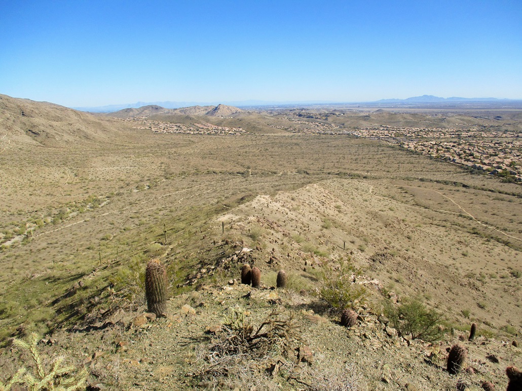
Up top, I rested, looking at the surrounding mountains and enjoying the great weather. It was cool, but pleasantly warm in the sun. I snapped a few photos, but also sat and relaxed, seeing no need to rush down. People were hiking below me on the trail, none apparently interested to come up and join me. I spent about 15 minutes up here. The day was simply stunning, and I wanted to enjoy my perch while I could.
I followed the same route hiking out as I had coming up, and I was back to my car a little before 3 p.m.. The Bursera Trail continues west and meets some other roads farther west, but that would have added a lot of extra miles to do the round-trip hike. I was happy with this short hike.
The mileage figures are based on signs at the trailhead and the occasional sign along the trail. Going by these signs, it is 0.44 mile along the Pyramid Trail to the Bursera Trail junction. Just before I got to the highpoint, a signpost said I had gone 1.08 miles on the Bursera Trail. That's 1.52 miles. So I added in a little extra to account for the remaining segment to the top.
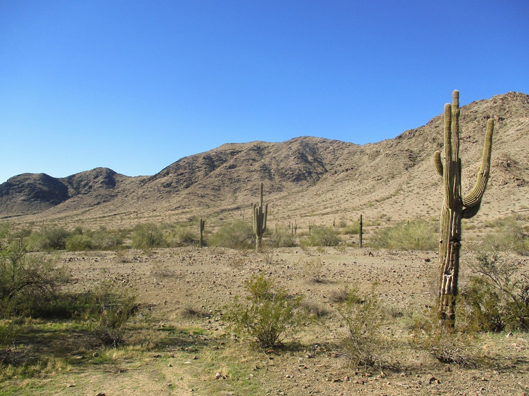
The word "Bursera" is the scientific name for the Elephant Tree, which is rare and only found in a few places in Arizona. The tree usually has a thick trunk and small leaves. I may have walked by one or two. I think I caught one in a photo, see the left sidebar. I am not certain. If it is, drop me a line and let me know, because I'd like to know for sure.
|


|