
The Mountains of Arizona
• www.surgent.net
|
| Cerro Prieto |
• Highpoint: Samaniego Hills • Ironwood Forest National Monument • Pinal County |
|
Date: February 20, 2022
• Elevation: 2,688 feet
• Prominence: 588 feet
• Distance: 7 miles
• Time: 2 hours, 30 minutes
• Gain: 890 feet
• Conditions: Warm
Arizona
•
Main
•
PB
•
LoJ
•
USGS BM Datasheet
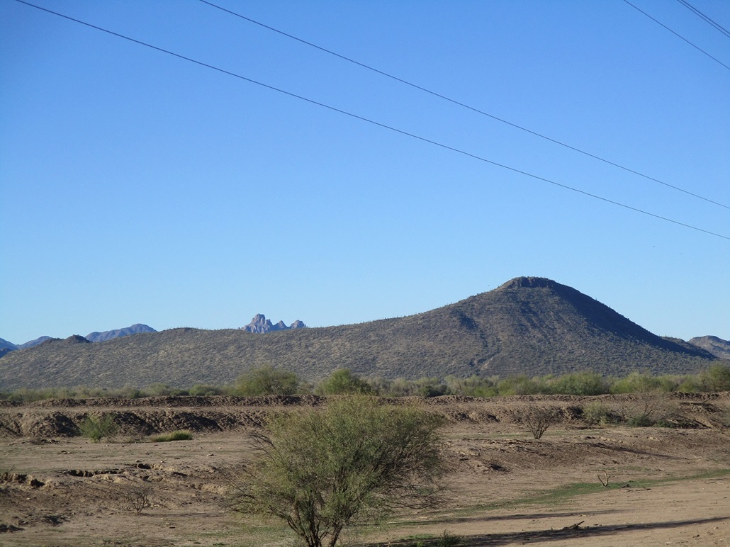
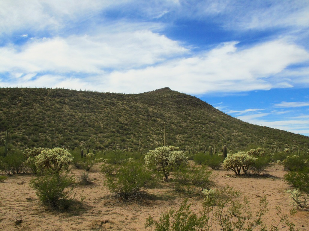
Cerro Prieto (Dark Hill) is a volcanic mound of boulders and cactus, topping the small Samaniego Hills that straddle the Pima-Pinal County line in the Ironwood Forest National Monument. The hills are notable for the evidence of the ancient Hohokam Indians, who built terraces in the hills, their function uncertain but presumably to live, farm and/or as defensive positions. Some date over 800 years in age.
The peaks lie south of Sasco Road, reached by the Red Rock exit off Interstate-10 about 45 miles north of Tucson. Most people take Sasco Road to get to Ragged Top, the biggest peak in the immediate region. Those who aren't going to Ragged Top are likely looking for a place to shoot.
I was here a month ago, on a meandering day drive to look at peaks and get out of town for a day. I had every intention to hike Cerro Prieto that day, but the road was closed for repairs and I had no choice but to turn back. I returned a couple days ago and got in about a half mile, but bailed on that hike due to time constraints as I was headed to Tucson for the weekend. So here I was again, now heading back to Tempe.
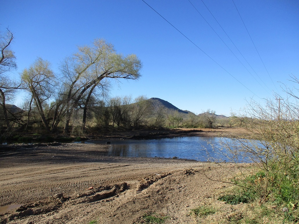
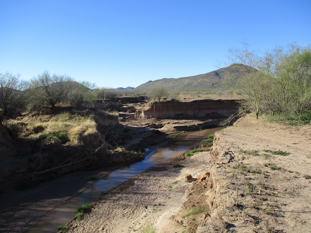
I left Tucson around 12:30 p.m., and drove to the Red Rock exit, took that west through a new housing development, then into the desert hinterlands. After the homes, the road is paved for a little while longer, passes a couple farms and a massive cattle feed lot, then loses its pavement. This is where I turned back in January. I went in about another mile or two and came upon a creek, the Los Robles Creek. It was flowing over the road (as it always does). I got out and took a look. A guy was parked nearby with his kids and I asked him how deep it was. He said about 18 inches. He had a Jeep, but I did not feel comfortable with my Subaru Forester in that depth of water. The flow itself was gentle. I just didn't want to flood the engine.
I parked in a nearby pullout and got dressed for the hike. It was about 1:30 p.m., the day warm with high clouds, temperatures in the low 80s. Ugh, that nice six weeks of cold winter temperatures seems to already be over. I kept my boots and socks off, walked to the creek crossing at a narrow point, rolled up my pants legs, and crossed the creek. It was just 10 feet or so, and perhaps 8 inches deep. The water was very cold. On the other side, I dried my feet, put my socks and boots on, and started hiking.
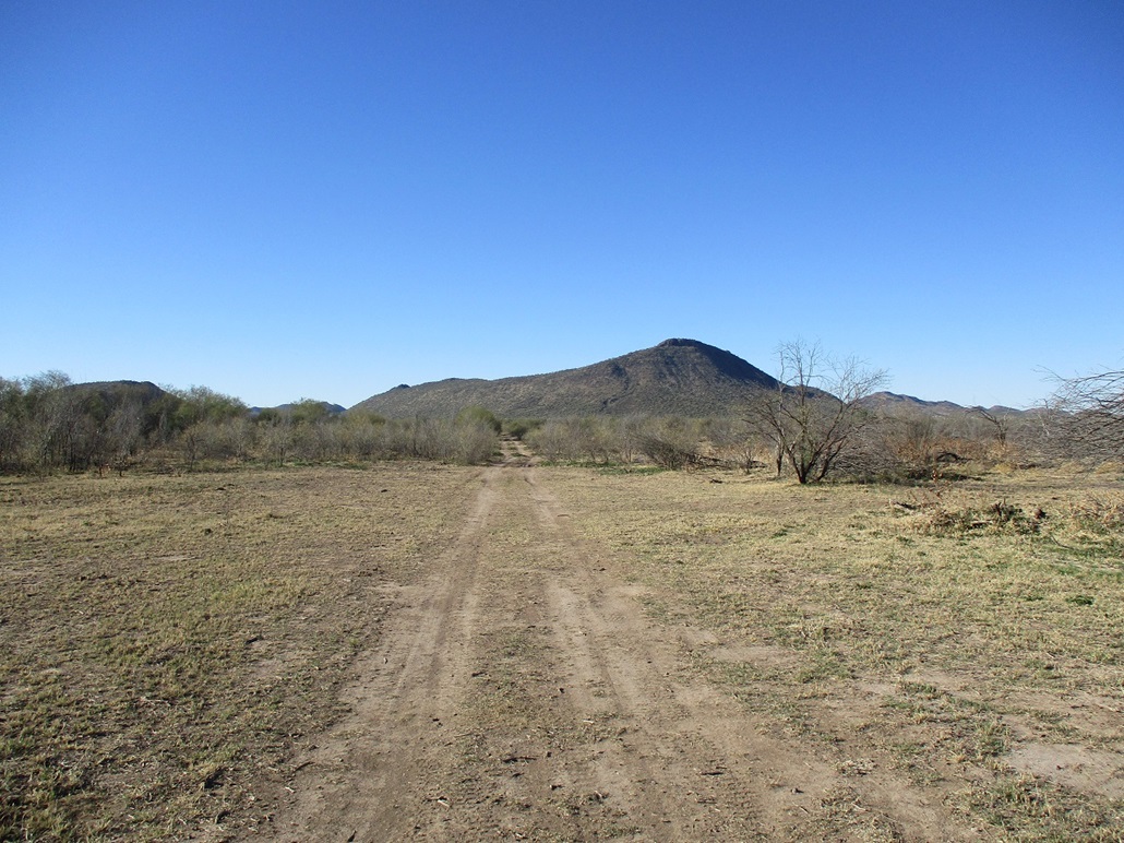
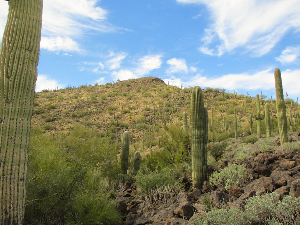
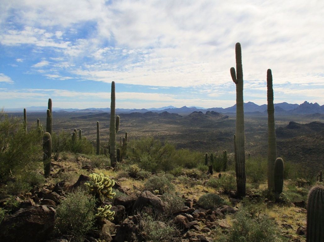
The road continues and is a good road. I followed it a little under a mile to a second crossing. This time, there were large gravelly rocks to create a tread and mitigate the depth of the water. I carefully walked across the creek again, walking on top of little rocks and generally staying dry. I did not want to remove my boots and socks again. Immediately after this crossing and up an embankment about 15 feet, a side road branches south toward Cerro Prieto, about a mile and a half south. Its neighbor, Pan Quemado, was east (my left). Cerro Prieto has a noticeable prow at its north end. It looked like your typical volcanic mound of rock, probably not much different to what the Hohokam saw back in about 1200.
This side road was pretty good. It wanders across flat desert plain, angling left around a corral, then passing a wire-stick gate at the National Monument boundary. Here, the road became sandier. Walking it was a chore, so I gave up and went cross country for about a half mile. The road curls around and I re-met it, by now its tread more solid. Another half mile and I was in the valley hemmed in by Cerro Prieto and Pan Quemado. It was still warm, warmer than I would have liked. The sky was blue with passing clouds, but with that dinginess created by the ambient moisture. The blues weren't crisp. Everything looked washed out.
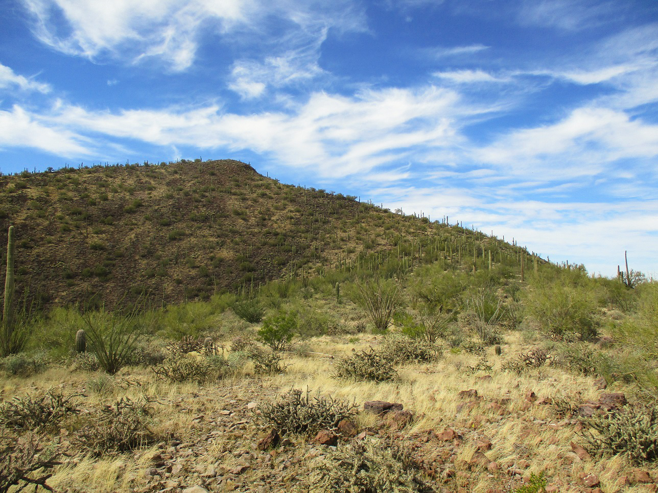
I hiked until I was about midway along Cerro Prieto's east flank. The slope looked about the same everywhere, so I wanted to ascend to its ridge lowpoint. I picked a line and started uphill. The slope was rocky and moderately brushy, with grass about ankle high. The grass was never so thick as to obscure the ground beneath. I was on the watch for snakes. I tried to keep a straight line but constantly altered my path to avoid brush and cactus, and to follow more open lanes. All this went well, and I was on top the ridge in 15 minutes.
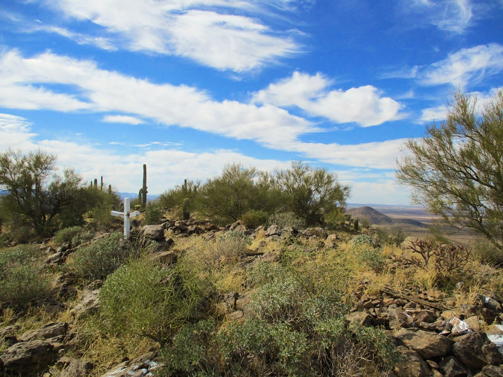
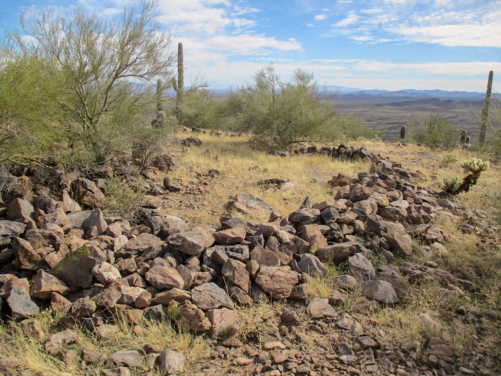
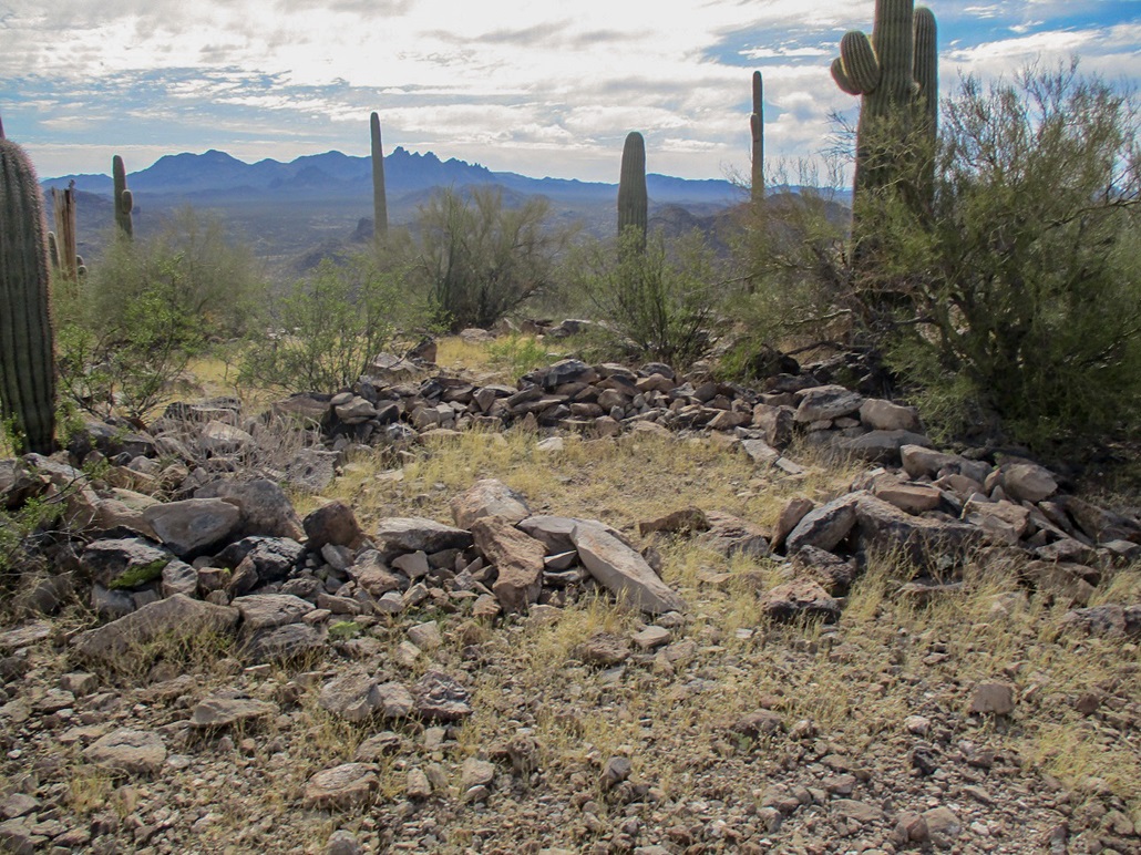
I angled right and walked gently uphill, weaving through the cactus, brush and rocks. The rocks became larger and more abundant. The ridge curls left. Higher up, I noticed the first of what would be many circular cleared spaces where rocks had been moved to create these platforms, called trincheras, Spanish for "trench". Once I saw one, I saw more every few feet. In some places, the rocks were stacked to form small terraces. These are clearly the work of man, and archaeologists date these back about eight centuries, approximately 500 years before any white man/European would be passing through the region.
I also happened upon a distinct hole in one of the big rocks, and a narrow stone protruding from it. The hole was clearly not natural, and the stone was clearly placed there by someone. It could be a grinding stone or metate. I pulled out the smaller stone to inspect the hole, which went in about 5 inches. I put the stone back in. It's cool to think that someone was using this for an important reason 800 years ago. Since then, how many people have been up this peak? I am sure not that many, maybe a few hundred overall, and how many have passed by this stone and hole? Probably most of them. So maybe it's been there all these years, untouched, until Scott Surgent came in to put his germs on it.
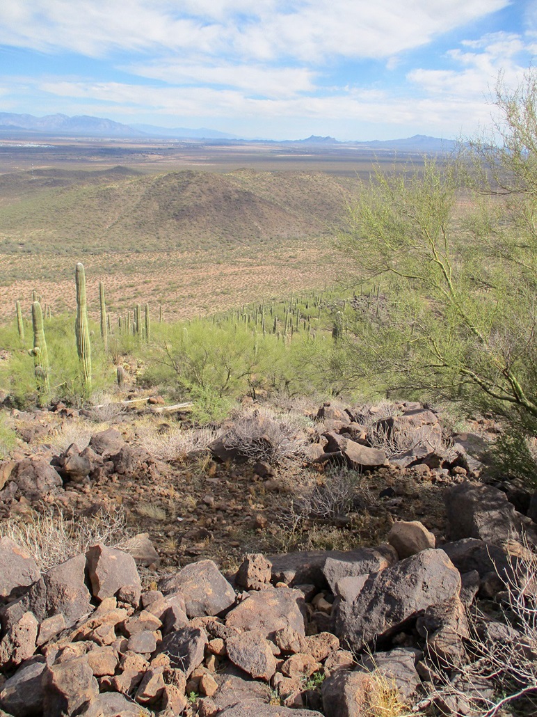
I was soon on top. The summit is flat with a few rock outcrops, and a concrete cross propped up by rocks. In my opinion, rocks about twenty feet west were highest. I tagged all contenders and walked the ridge, snapping photos and looking at more trincheras. I also looked for the benchmark but could not find it. I spent about ten minutes up here. It had taken me a little under 90 minutes from the car to here.
I hiked down the same way, and was back onto the desert flats quickly. I gave thought to climbing Pan Quemado to the east, but it was pushing 4 p.m., it was warm, and I didn't want to push my luck. I can always return at a later date (which I did, link). So I did the boring thing and hiked back out to my car. Once back on Sasco Road, there were more vehicles (about one every ten minutes), and some kids playing in the water. I was back to my car about an hour after starting down from the summit.
I was happy to be successful, quite sweaty given the warmth, and my jeans were wet when I crossed the creek without trying too hard to roll them up. I changed and drove out, getting back on Interstate-10 to Tempe. I arrived home after dark, two all-beefs from Ted's Hot Dogs in Tempe in my hands.
The weekend had gone well, kind of. The hike was just a side trip. The time in Tucson was informative and time well spent, but ultimately, things did not work out as intended. Sometimes you're the cat and other times the cat litter. You just pick yourself off the mat and try harder next time.
|

|