The Mountains of Arizona
• www.surgent.net
|
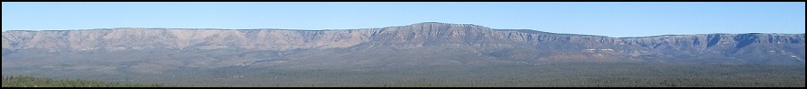
| Christopher Mountain |
• Mogollon Rim • Tonto National Forest • Gila County |
|
Date: March 24, 2020
• Elevation: 6,966 feet
• Prominence: 696 feet
• Distance: 4.5 miles
• Time: 2 hours, 10 minutes
• Gain: 725 feet
• Conditions: Cold but sunny, extremely muddy ground
Arizona
•
Main
•
PB
•
LoJ
Christopher Mountain is a forested highpoint along a ridge that comes off the Mogollon Rim about 25 miles east of Payson. It is not the highest point of this ridge, but it does have the highest prominence. I wanted to explore the mountain and the general area for future hikes and camping ideas.
My schedule is all upside-down due to the coronavirus. Like many people, I'm just staying home and doing what work I can using email and phone. However, it seems my busiest times happen later in the day into the evening. I don't know why this is, but it has been leaving my mornings open. So I've been taking advantage of the good weather and exploring peaks around the area. I never see anyone on these peaks. Instead of staying 6 feet apart from people, I'm staying about 600 feet from people. The same would be true for this hike. Actually, I would not see a soul today.
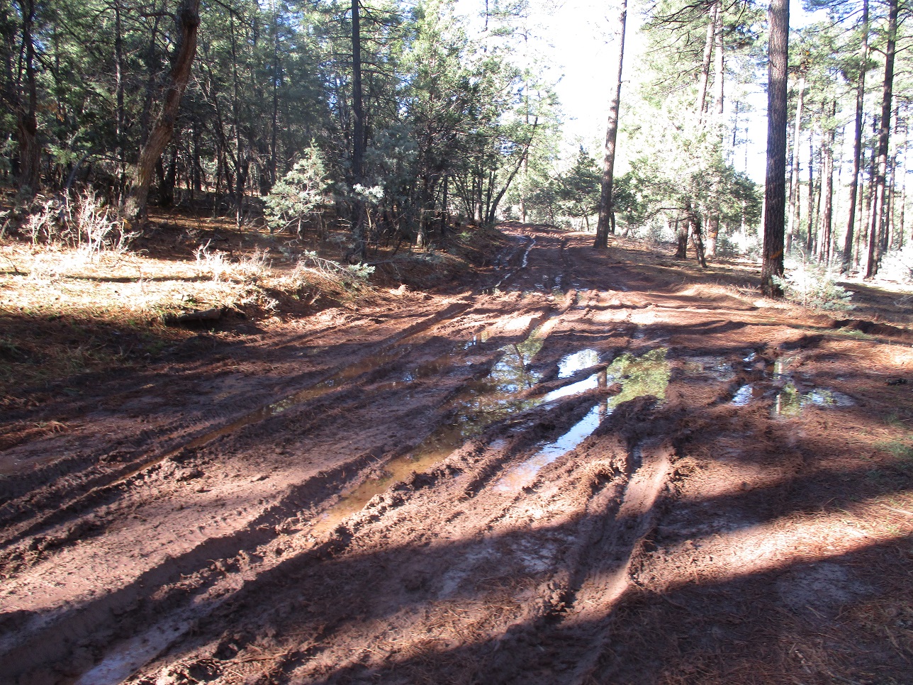
I left home and drove eastbound up Highway AZ-260. The day was sunny but cool, and as I gained elevation, the temperature dropped into the mid 30s. I eased onto Colcord Road and went in a mile, looking for Tonto Forest Road 117. I found it, but there was no place to park. I drove Colcord Road another few hundred feet to a wide cleared area, and parked. The area was very muddy. Not gooey, but crusty and still sticky.
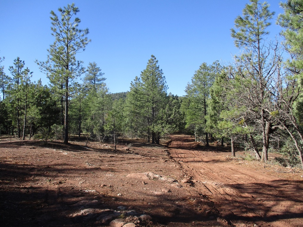
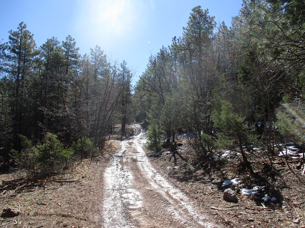
I got dressed, going lightly. Even though the temperature now was about 40 degrees, the sun was out, and in the sun, it was pleasantly warm. I started walking at 8 a.m., tromping back to the FR-117 entry point. The track was muddy and I was forced to walk beside it, which worked well. I would be following FR-117 nearly the whole way up, about a two-mile hike with 700 feet of gain.
Down low, the grade of FR-117 was slight, often level, and the water and snowmelt from last week's storm filled the lowpoints creating long mud fields. I skirted these by walking in the forest. With its leaf and twig cover, the footing was always more solid. When the road would steepen, or if it was in an open area, the track dried and I could walk it with no problem. I estimate I walked the track about 60% of the way, and bypassed its muddiest portions in the forest the rest of the time.
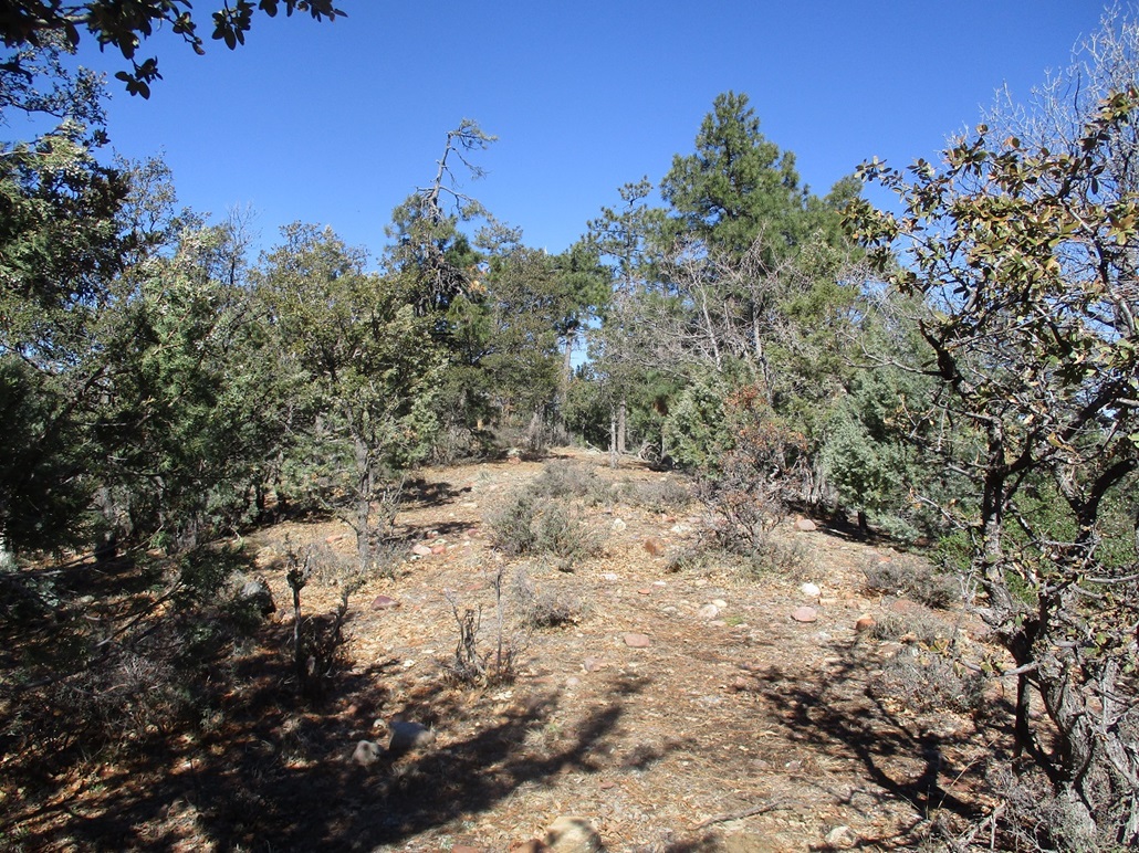
The track trends generally south, then southwest, gaining high on the flank of a smaller hill to the east, elevation 6,934 feet. Up a little higher, there were more abundant snow patches, mostly beside the road but a few in the road itself. The road then hangs a right and drops about 60 feet, then dog-legs left and becomes level, now in a saddle between Peak 6934 and Christopher Mountain's summit, at 6,966 feet. The forest here is lovely ponderosa, but thick and I never really got a good long-distance view of the peak the whole hike in.
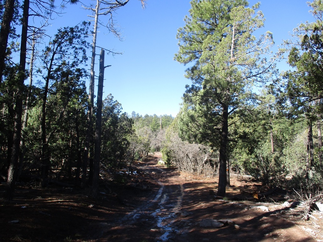
I walked through the saddle area, through a newer green gate, then south along a much scanter track called FR-1319 on the map, but not marked by anything in the field. However, I knew this was the right track. It went south, gaining about a hundred feet. Another track then branches right (west). It went a few hundred feet and ended at a water guzzler for the elk. Here, I left the track and hiked upward through the open forest about another 60 feet to gain the high ridge.
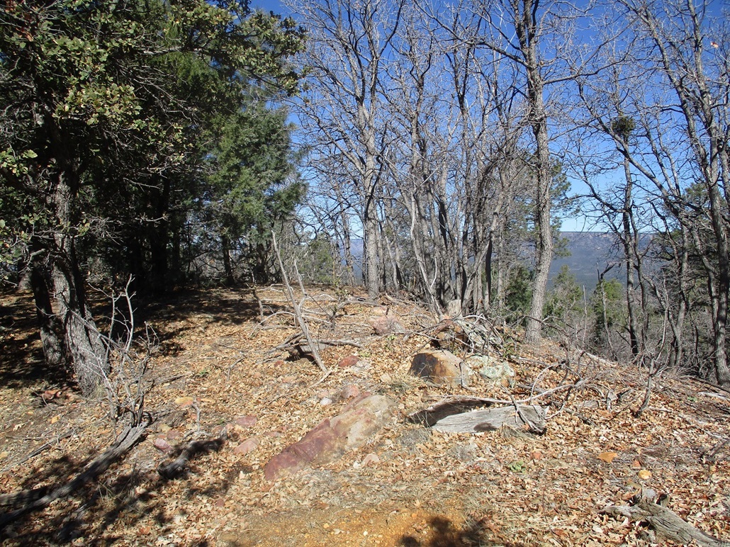
The summit is at the west end of the ridge. I kept walking until I found the high ground and the ground beyond it dropped suddenly. This was the peak, but there were no views and no markers of any sort. Also, I could hear something ambling in the forest below to the north. It walked "heavy" so it may have been an elk or a bear. I snapped a couple photos but immediately started down.
I retraced my route exactly, following the same roads out. By now, the temperature had increased a few degrees and the snow was melting. The roads were more watery than even an hour ago. I moved carefully because slipping was a concern and the last thing I wanted was to fall in soft cold mud. The downhill hike took an hour and I was back to my car a little after 10 a.m.. I got moving down and went home to clean up and "work", which meant nothing for a few hours, then the emails starting about 3 p.m..
There are two other peaks along Colcord Road that interest me: Turkey Peak and Colcord Mountain. They're close enough to be done as a pair, and Colcord also has a lookout tower on it. I'll be back soon, but may wait a month or so to let all the snow melt and the ground harden up. I enjoyed today's hike but would not necessarily recommend this peak since it has no views. But it's easy and natural to combine in with the other peaks along Colcord Road.
|

|