
The Mountains of Arizona
surgent.net |
|
Peak 4282 • Peak 3970 The Colossal Cave Mountain Park is a county-run park about twenty miles east of Tucson near the community of Vail, at the base of the Rincon Mountains. It is notable for an elaborate cave system that can be viewed by going with a guide. There are two peaks within the park itself: the main one, Peak 4282, and a little subsidiary peak, Peak 3970. There are a couple more outside the park, Pistol Hill and Peak 3862, that I have climbed already. Peak 4282 is the big mountain that contains the cave, the cave running about four miles in total length. The mountain is a big limestone massif, which explains the presence of the cave since limestone erodes and dissolved quickly in the presence of a water source. Up top, so to speak, the limestone would be present in large embedded rocky formations and small cliffs, or millions of smaller rubble rocks. The cave and surrounding mountain (and creeks and so forth) have been known for hundreds of years. There were dependable springs and streams to allow for farming and raising animals, and in the 1800s, it was a stage stop. The cave's extent became better known in the late 19th-century as more people explored farther into its depths. The main peak has no name, which I find amusing, since this would have been a notable mountain for so many years. You'd think a mountain hosting a large cave system, and also rising over dependable water sources, would have been given a name. No one apparently thought to name it. Which is maybe a good thing. It probably would have been named Black or Squaw as a result. Nominally, it is "Colossal Cave Mountain", which is better than nothing. The park covers about ten square miles and includes, in addition to the cave tours, some hiking trails, horse trails, picnic tables, and overnight camping. The Arizona Trail passes through the park, and I would be hiking on it briefly.
Date: October 25, 2026
• Elevation: 4,282 feet
• Prominence: 627 feet
• Distance: 3.2 miles
• Time: 2 hours, 10 minutes
• Gain: 840 feet
• Conditions: Sunny and cool with puffy clouds
Arizona
•
Main
•
PB
•
LoJ
I saw online the park opens at 8 a.m., this being a Sunday. The weather was mild enough so that I did not have to be hiking before dawn. Expected highs in the area were to be about 80°. I left Bisbee a little before 6, and about 75 miles later, was at the entrance of the park.
It was still early, about 7:40 a.m., but the main gate was open, so I went in. The road makes a Y-split, the left going to the cave and small souvenir store. I went right. There was no one taking payment, no signs to pay anything.
I went south very briefly, then turned left (east) onto a track aiming for the La Selvilla picnic and camping area. The track is hardpack and in excellent condition. It gets rough in two short segments where it drops into a creekbed, but any vehicle with more than a few inches of clearance should be fine.
I went in about a mile, to where the road ends at a loop. One other vehicle was here, and I could hear a family nearby at one of the picnic tables. I parked off to the side and got properly dressed. Just then, a pretty dog materialized in front of me. It was from those other people. I pet it, then they called it back.
The weather was cool and mostly sunny but with puffy clouds, but no storms expected. It was still down low, and when I started, it was still cool, in the high 50s, with no breeze.
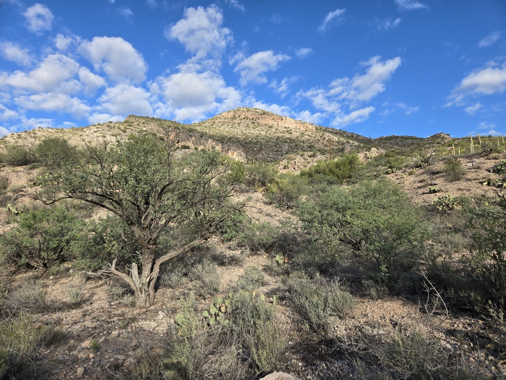
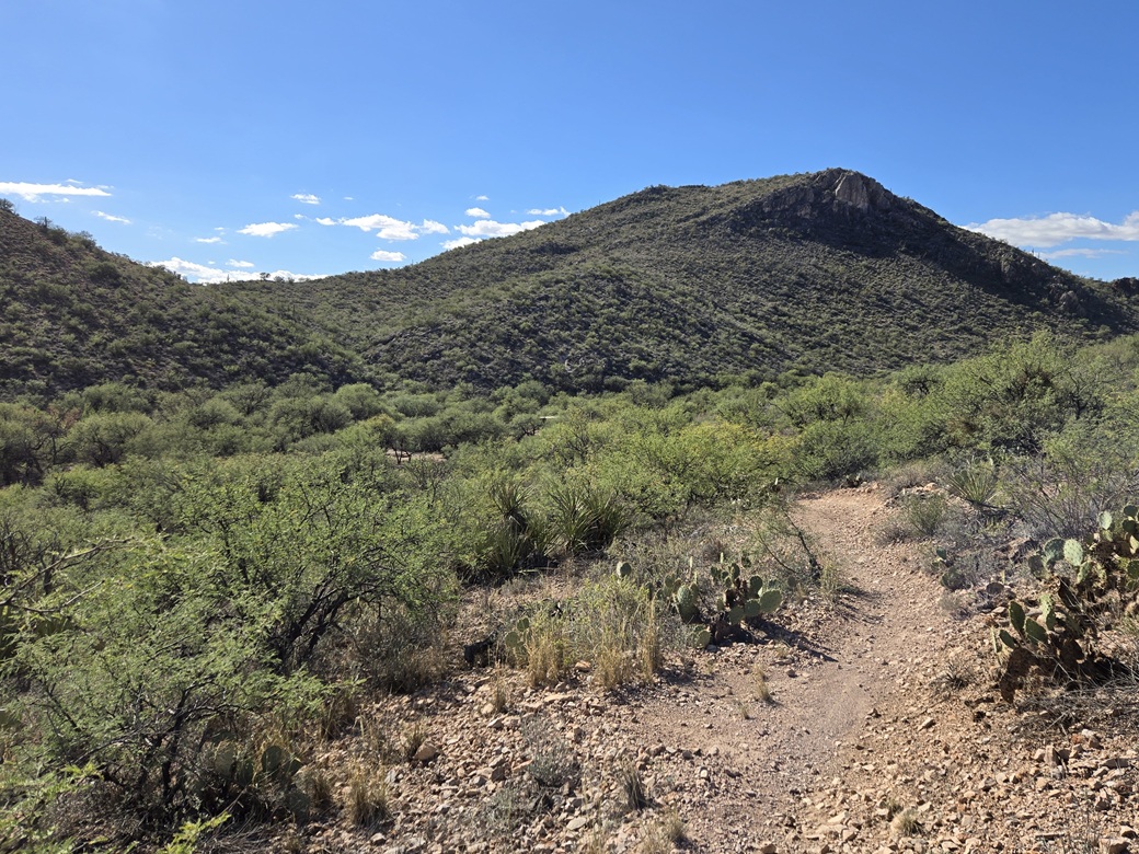
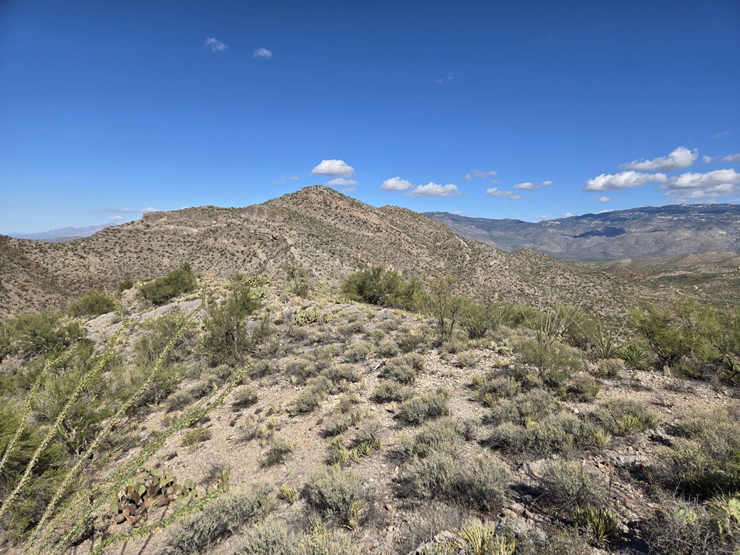
The Arizona Trail picks up here and heads northeast, up the canyon with Peak 4282 to the left (north). I could see the top from where I parked. However, it made sense to follow the trail a little ways, then double back along the high ridge to the summit.
The trail was in great shape. It went in and out with the folds of the ridges. A mountain biker came up behind me and then passed. Moments later I came to a very rough section with big rocks in the trail. I wondered how anyone would get a bike through this.
I was on the trail for about twenty minutes, covering about a half mile. I got to a point where the trail makes a very sharp right turn and starts a descent. I bailed here, and started up through a drainage and its side slopes. I wanted the ridge up ahead, about 250 feet higher.
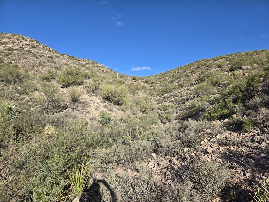
The off-trail hiking wasn't easy at first. The drainage was choked with brush, and the side slopes were steep and loose. I got in about a hundred yards, then things opened a little. The sides weren't as steep. I angled right and went up a steep rubbly slope, past a couple low limestone cliffs. I was aiming for a hill, but contoured below it to its left. Then I dropped about thirty feet to the saddle on the high ridge.
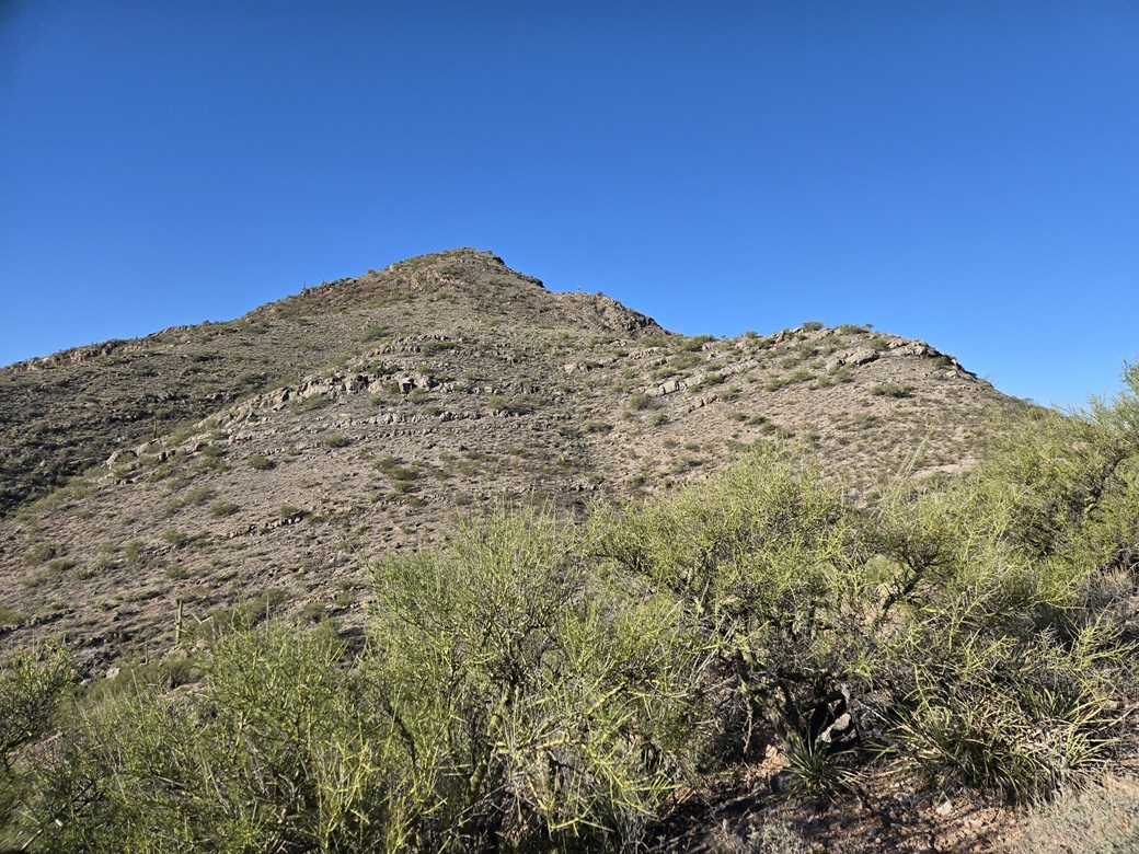
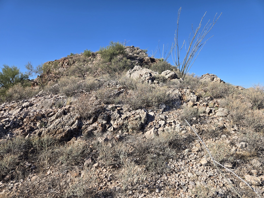
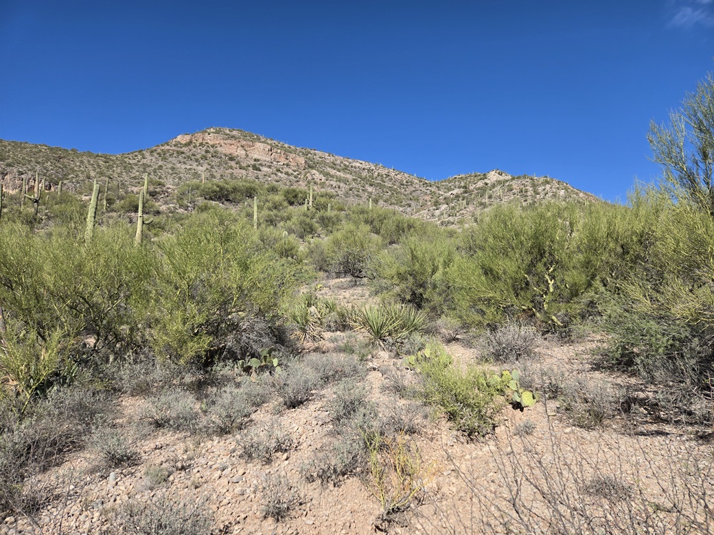
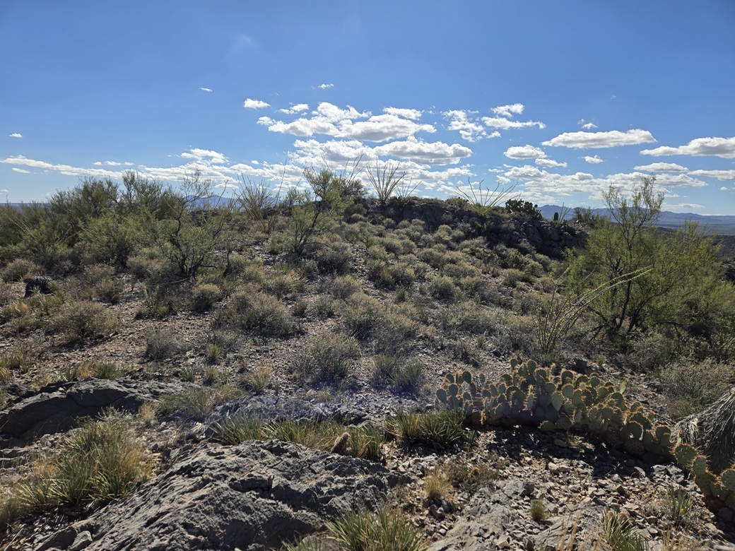
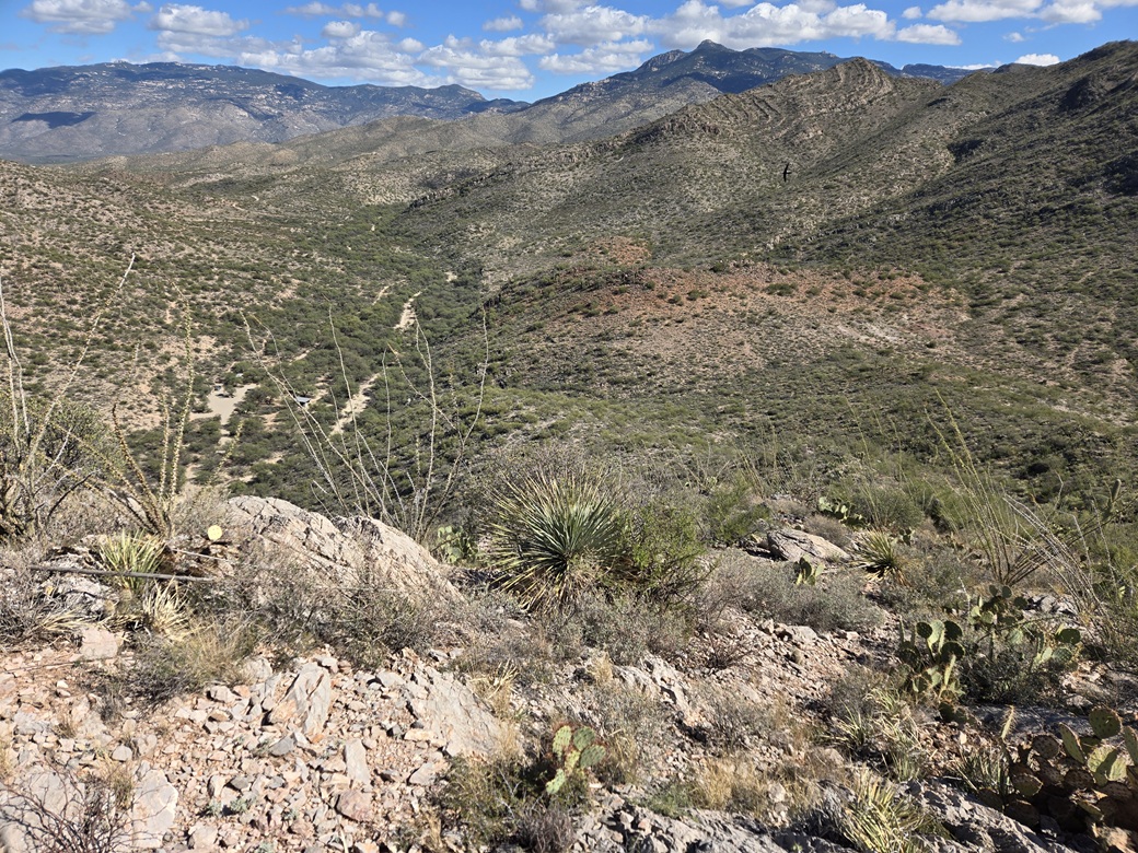
Above, the mountain rose dramatically, and it looked steep, including some cliff bands. I started hiking upwards through a batch of ocotillo. The slope got steep but never scary steep. Up ahead were those rocks, which helped with footing. As usual, the limestone is great when in big rocky form, and exasperating when in loose rubbly form. The rock itself can be razor sharp to the tough.
I scampered up through about twenty five feet of low cliff walls and heaped rocks, then things levelled briefly. I angled left and went up a gentle slope. The bigger slope still rose above me. The top was not the summit, but its lower eastern false summit.
The grade increased by degrees until it was just a shade below scary steep. I went slow, zigged and zagged, and got up these slopes with minimal slipping or kicking rocks loose. Things improved as I came upon some heftier rocks and low walls.
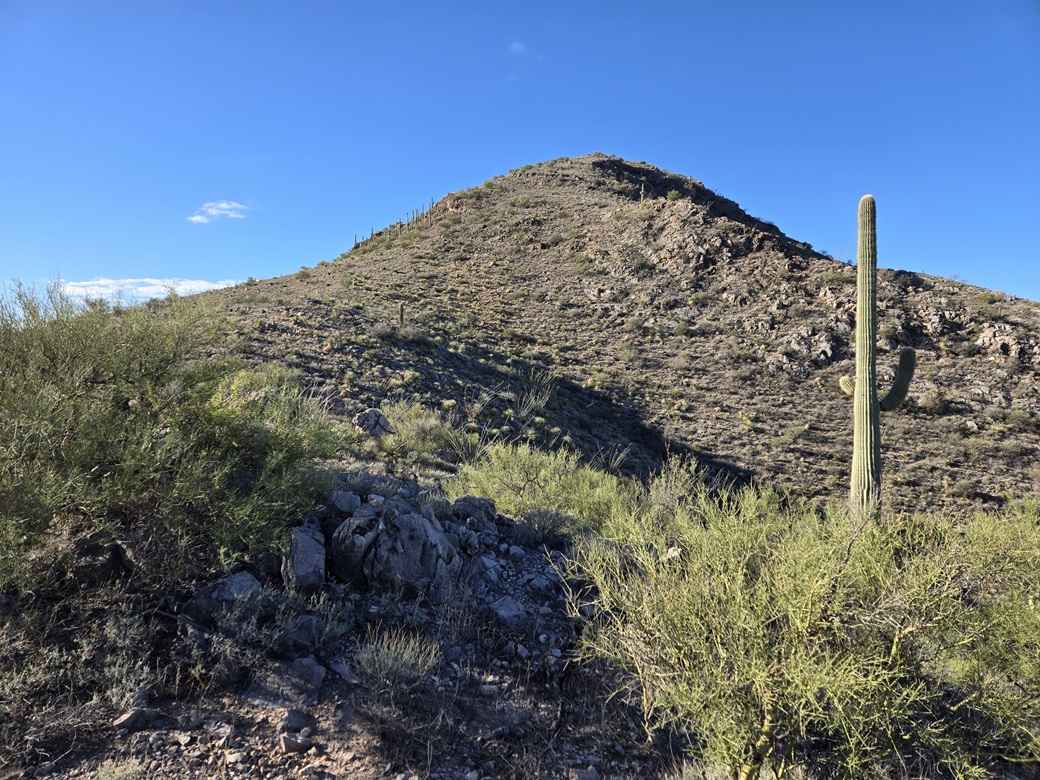
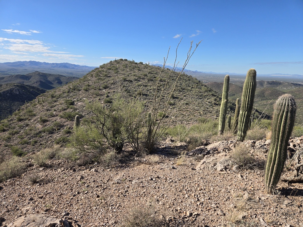
I was now near the top of the eastern false summit. I had to scale a couple rock bands but did so with just high steps and my poles. Once near the top, I could see the main peak's highpoint still ahead.
I dropped about 40 feet to the saddle between the two peaks, and carefully stepped over a barbed-wire fence at the lowpoint. Why there is one here, I cannot answer. Past the fence, the slope to the top was very gentle. I was on the summit a little over an hour after starting. It was about 9 a.m..
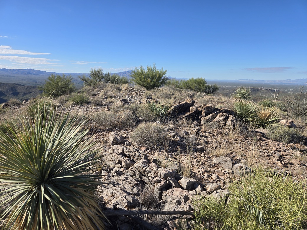
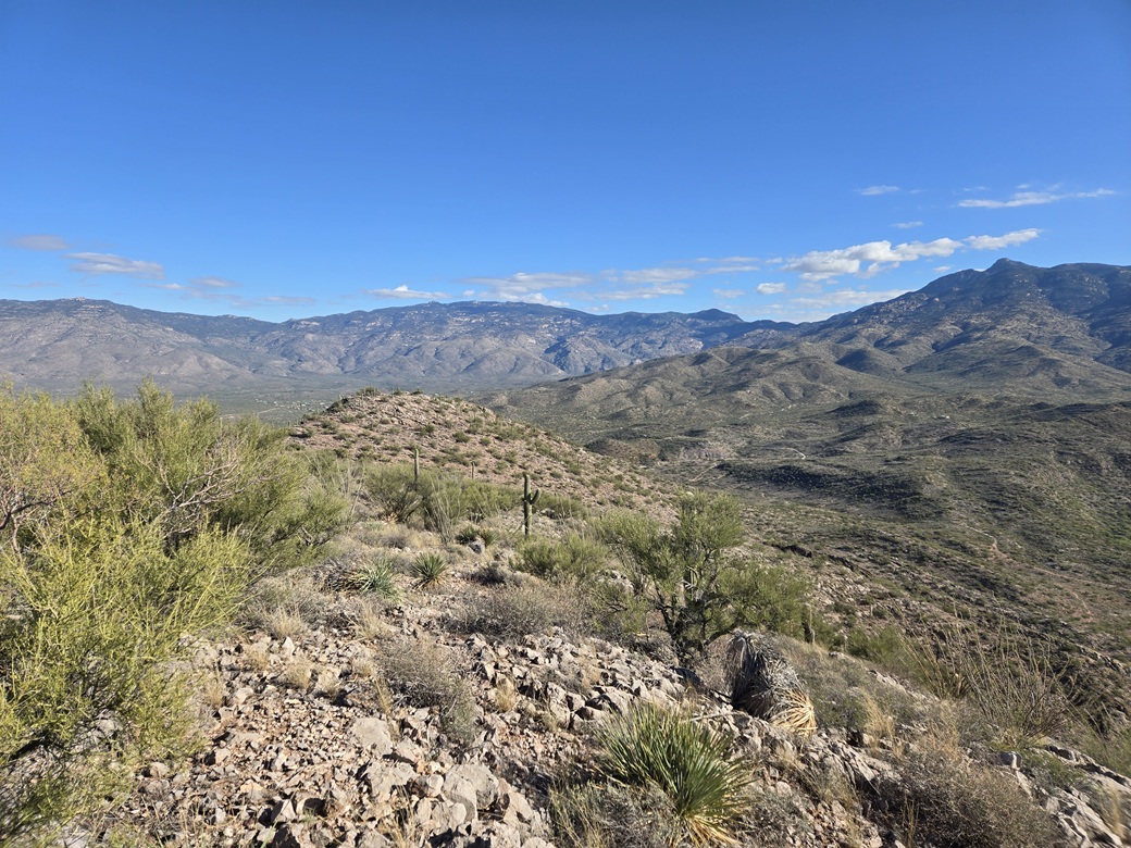
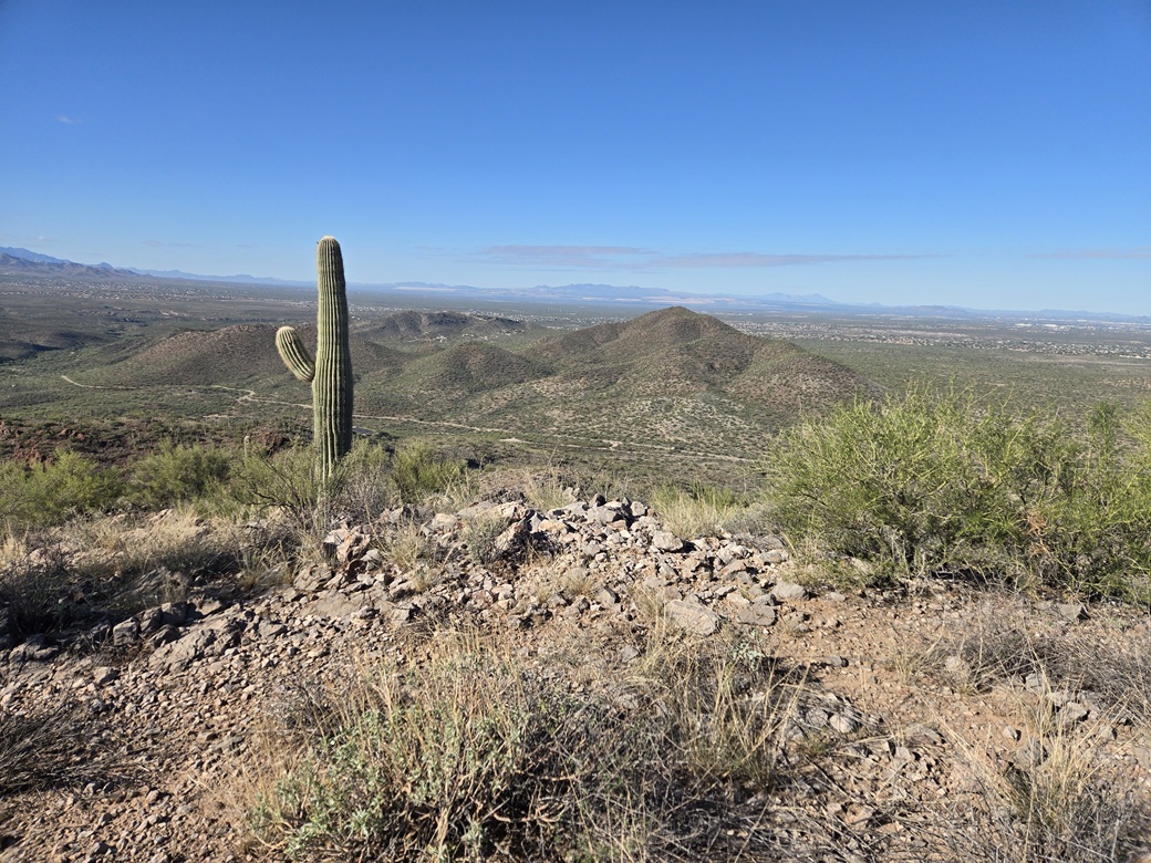
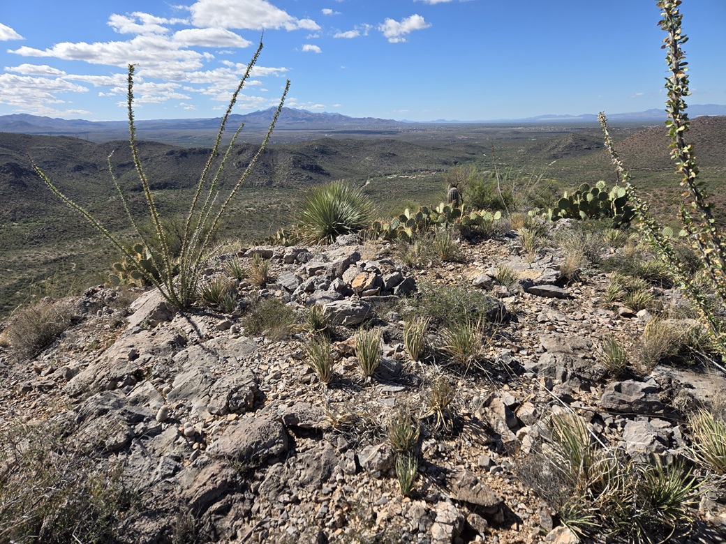
I found a cairn and register and signed my name into it. Views were excellent. I could see Pistol Hill, Tanque Verde Peak, and farther away, the big sweep of the Rincon Mountains, with Rincon Mountain's pointy summit easily visible. I spent a good ten minutes up top, having a break and relaxing. It was quiet and peaceful, and the weather was agreeable. Cool but not cold, and a slight breeze.
Going down, I tried to keep to the exact same ascent lines on the steeper rubbly portions. I just planted each foot carefully and made sure I wouldn't slip. I was able to get down without any problems. Once back on the trail, I quick-walked out back to my car. The descent hike had taken just under an hour.
I enjoyed this peak a lot. It was scenic, not very difficult to scale, but with a little steepness and rocky barriers to add some spice. Back at my car, I took a longer break. Some bicyclists had convened here and were getting ready to head off wherever they were heading.
Elevation: 3,970 feet ✳
• Prominence: 318 feet
• Distance: 0.8 mile
• Time: 55 minutes
• Gain: 430 feet
• Conditions: The same
PB
•
LoJ
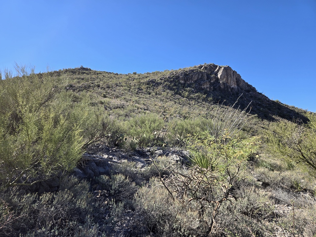
The next peak was just right there, so I did not need to drive anywhere. After about a fifteen-minute break at my car, I started my hike up Peak 3970. Its most notable feature is a massive cliff on its north face.
I walked through the picnic area, into and out of an arroyo, then into the heavy brush. I looked for any opening, and got lucky on my second try. I went up a slope that was steep, brushy and rocky, but it was open enough to be walked.
This segment went quickly, and there seemed to be a path in places. I gained about a hundred feet, then the slope leaned back a little. I would be ascending via a long ramp, and now I could see the entire thing.
The ramp was as it looked: steep with brush and lots of limestone. But it wasn't as steep as on Peak 4282. The footing was very good when on the bigger rocks. Brush could be heavy in places.
Once on top of this ramp, the summit was just a couple minutes' walk away. A small cliff rose ahead, but I found a walk-up option to the left. Then it was some easy walking to the top. The hike had taken just twenty minutes or so, covering under a half mile.
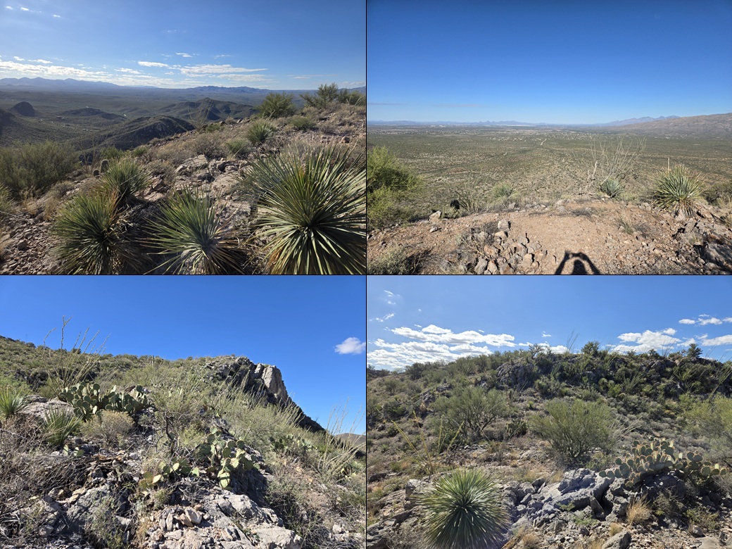
I signed into the register and also took some more images. The day was fantastic. It had warmed, but only into the high 70s. I spent a few minutes looking around. It was a perfect bonus peak, short and efficient, and scenic too.
From this perch, I was able to get a decent view of Agua Verde Peak to the south. This peak has a castle built atop it. It is a private residence and no public access is allowed. This will likely be as close as I'll ever get to that peak. It is a peculiar bit of Arizona history. The builder died in 2024, and his obituary gives some information about the man and the history of the castle.
For the descent, I stuck to the same route and just took it slowly. It took about the same time to descend, and I was back to my car less than an hour after starting.
It was still just the late morning. The hikes had gone well, and I had some time to kill. I changed, then drove to the main visitor's center. The cave entrance is right there. I did not plan for a caving excursion. I just wanted something cold to drink and to check the place out. But I would love to return and check out the cave. I spent about a half hour wasting time here.
Afterwards, I hit the road, and was home in Bisbee about 90 minutes later.
|


|