
The Mountains of Arizona
• www.surgent.net
|
| Colton Crater |
• San Francisco Volcanic Field • Coconino National Forest • Coconino County |
|
Date: May 5, 2023
• Elevation: 7,368 feet
• Prominence: 768 feet
• Distance: 3 miles
• Time: 2 hours
• Gain: 1,060 feet
• Conditions: Cool and puffy clouds and a stiff breeze
Arizona
•
Main
•
PB
•
LoJ
Colton Crater lies north of Humphreys Peak, south of S P Crater. The summit lies within the Coconino National Forest, but the approach from the east and north passes through the Babbitt Ranch properties, which is usually open to public access as long as the proper permits are obtained online.
I had spent the day up north at the Grand Canyon, hiking Cedar Mountain and Navajo Point Benchmark and also visiting the Desert View Overlook and the Little Colorado River Gorge Overlook. It was pushing 3 p.m. when I got back into Cameron and southbound on US-89 toward Flagstaff. I had maps for a handful of volcanic mounds in the area, including Colton Crater. Given the time of day, I figured I had enough time to hike one of them.
I pulled off US-89 onto the unmarked entrance road just south of Hank's Trading Post. A new sign at the entrance mentions the need for an Arizona State Trust Lands permit, and an access permit for the CO Bar Ranch, a subsidiary of the Babbitt Ranches. So I stopped in the cleared area, got on my device and updated my state lands permit then and there (ironically, it had expired yesterday). Last year, getting a free CO Bar Ranch access was easy, but this time, their app didn't work well at all. I could not enter the information it wanted, and it had a stupid captcha thing that didn't play nice with my device. So I didn't get one, and took my chances. Later, I would follow up with the Game and Fish people who coordinate these access arrangements.
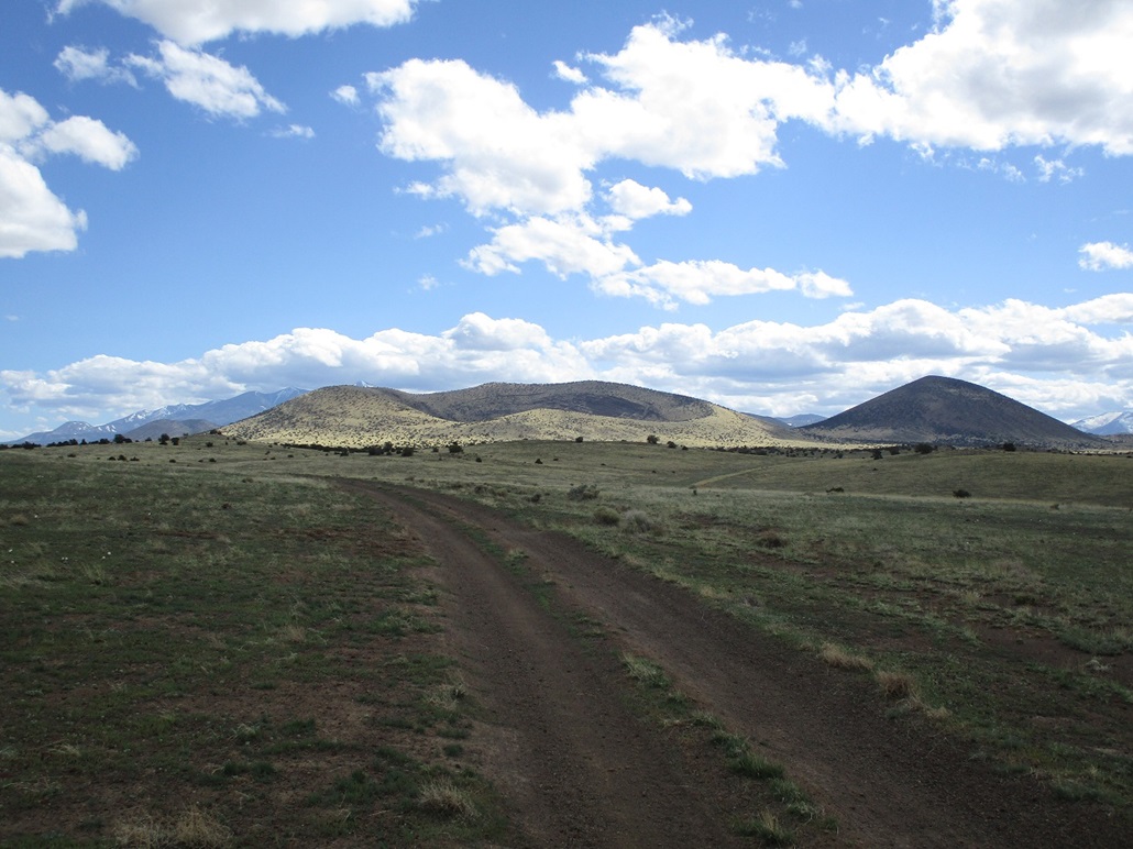
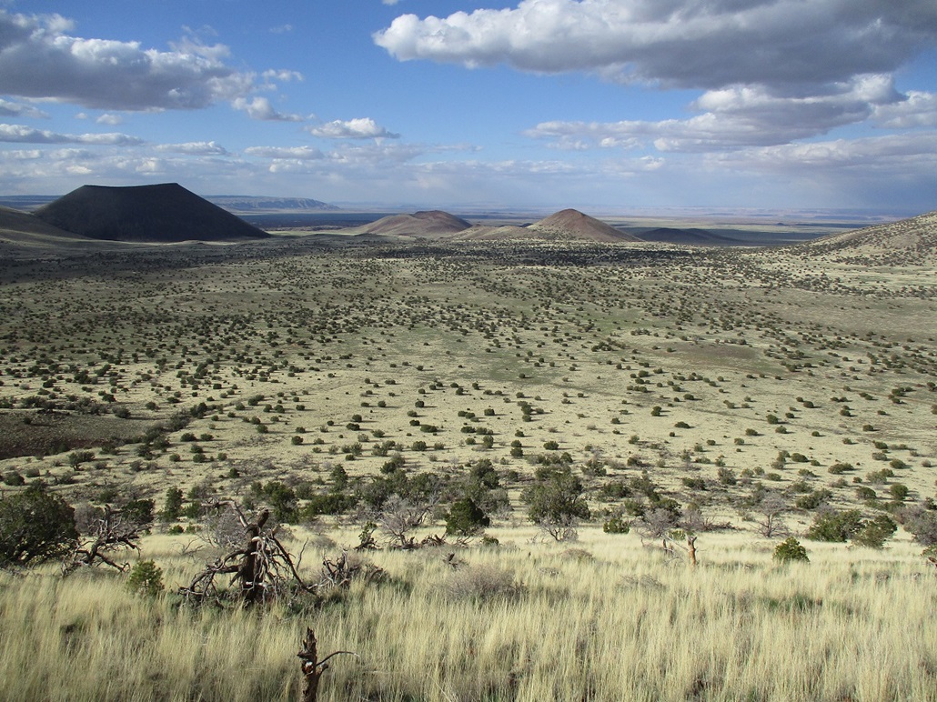
I drove in on the road toward S P Crater. Today, there were no cows anywhere to be seen. When I got to near S P Crater and a couple large water tanks, I eased onto a secondary road heading southbound toward Colton Crater, which stands out when compared to the other peaks this way. The crater is about 400 feet deep and the ridge that surrounds it much more elongated, whereas the other peaks here tend to be more pointed, with smaller craters near their summits.
The day had been windy and stayed so here. Whatever dust I kicked up billowed everywhere. Also, there were no cows. Not a single one. A couple years ago when I was last here, there must have been a couple hundred standing around. Maybe they were still hibernating in their cow burrows. This secondary road was pretty good, but I got to a small segment with a high center and a bad lean, and was hesitant to go past it, so I parked and started my hike, about a mile north of Colton Crater. I get about 50 yards and see the road is much better anyway, so I went back to my car and carefully eased it through that icky bit. I was then able to cover the remaining mile with no issues, parking at the northeast base of the crater rim. It was about 4 p.m. when I started hiking again.
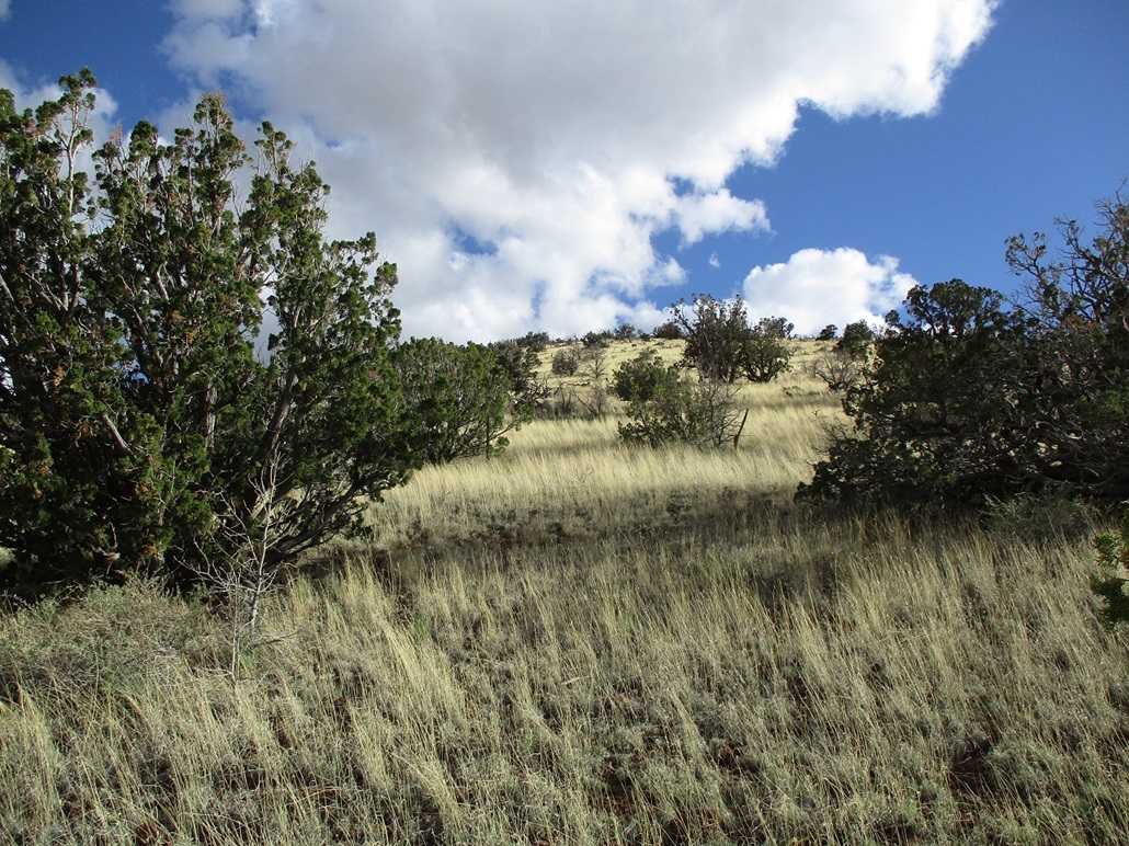
I aimed for the foot of the ridge, walking through shin-high grass and passing over one fence along the way. The initial slope was the steepest, a 500-foot gain up grass, scattered piñon and juniper, to the top of the rim, where the grades lessened to near level. The highpoint sits roughly centered along the rim, and looking into the crater is quite impressive. There's even a small "resurgent" dome within it, prominence about 50 feet.
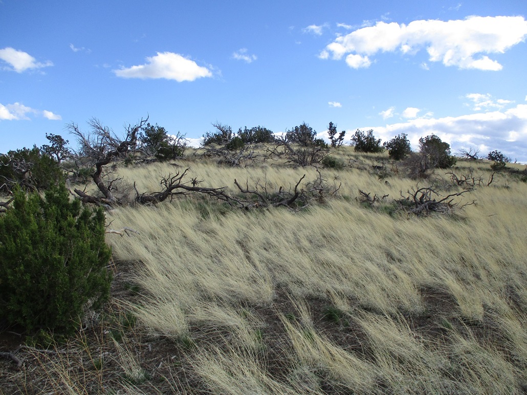
The ridge walk went well, the wind being the biggest challenge now. The terrain was open and obstacles easy to bypass. The ridge drops about 40 feet to a lowpoint before starying up the last slope to the top. I had to cross another fence, and soon arrived onto the open bald top.
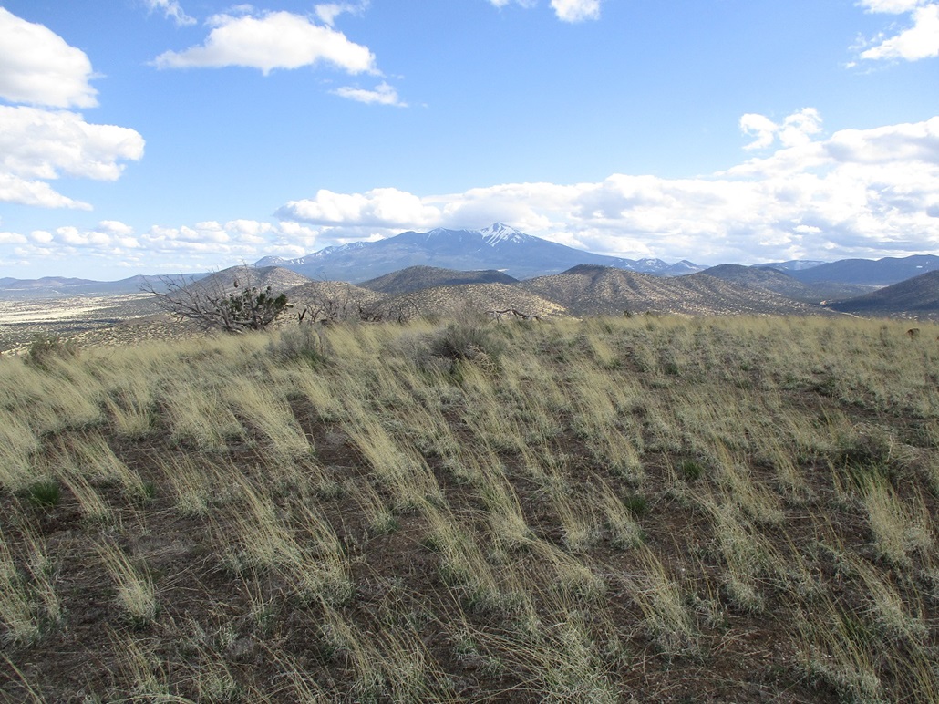
The views from here were very good, with snowy Humphreys Peak to the south, and all the volcanic cones and vents to the north. The sky was full of puffy clouds and the sun was low enough to offer good lighting as long as I didn't point the camera west. The air temperature was cool, about 60 degrees F., but the wind was intense. If I stopped, I chilled quickly.
The map says "Crater" benchmark should be located here, but I saw no hint of it. There's nothing here to affix a benchmark to, unless they used an iron spike, and if they did, it was probably taken years ago by "treasure hunters". The USGS database does not have a datasheet for this alleged benchmark. I did not see a register or cairn either. I didn't spend much time up here as it was cold and windy.
I had considered circumnavigating the rim, but it being 5 p.m. now and my car at the base of the northeast ridge, it made more sense to retrace my route down and not add in any extra distance. The hike out went well, and I was back to my car just shy of 6 p.m., a round trip of about 2 hours.
I was pretty tired by now, having hiked almost 13 miles today with nearly 3,000 feet of total elevation gain. I was pleased to hike Colton Crater and see that the road in was not as bad as I had thought it might be. It gives me some options for other peaks in the immediate area. I had camping gear, but the wind, and an expected overnight low in the high 30s, prompted me to be lazy and seek out a cheap hotel in town for the night. Tomorrow, I would tack on three more peaks in the area north of Parks.
|


|