
The Mountains of Arizona
• www.surgent.net
|
| Falcon Benchmark |
• Tortolita Mountains • Arizona State Trust Land • Pinal County |
|
Date: November 3, 2026
• Elevation: 4,323 feet
• Prominence: 390 feet
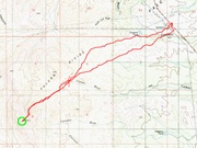
• Distance: 7.7 miles
• Time: 3 hours
• Gain: 850 feet
• Conditions: Sunny, blue skies, chilly
Arizona
•
Main
•
PB
•
LoJ
•
USGS BM Datasheet
Falcon Benchmark Peak lies at the northeast tip of the Tortolita Mountains, north of Tucson within Pinal County. The land here is almost all contiguous State Trust Land, meaning access is not restricted. However, it is undeveloped land, generally leased for cattle.
In studying the maps, most people come in from the north via some roads that way, and usually combine this peak with nearby Tortilla Benchmark, which rises a little over a mile to the north. Highway AZ-79 runs three miles east of the peaks, and I thought it may be a viable way as well, at least for Falcon Benchmark.
I left Bisbee at 5 a.m. and was in the general Tucson area about 7 a.m., give or take. From the interstate, I took Cortaro Road to Thornydale to Tangerine, then that to Oracle Road/AZ-77. Being a weekday at rush hour, I couldn't go very fast. It took nearly a half hour to get from the interstate to Oracle Road.
I stopped for drinks and snacks along Oracle Road, then took it north a dozen miles to the AZ-79 junction. I went north about four miles, parking in a gravel lot opposite of a power substation alongside the highway.
It was a little after 8 a.m. when I finally killed the engine. The day was sunny and clear, after a weekend of very heavy rain statewide. It was cool for now, in the mid-50s. Falcon Benchmark Peak rose off to the west, a little over 3 miles on a straight line (going by an online mapper site).
I got dressed and packed, locked the car and started walking at 8:15 a.m.. I crossed the highway and walked to the substation main gate, which was locked as I expected. No one is here as the place just runs on its own. Crossing the gate or fence here seemed like a bad idea due to the signs about video surveillance.
I walked south alongside the fence a few hundred feet until I found a spot to cross. Shimmying underneath wasn't an option due to the moist grass and residual mud. I was able to step over the barbed wire in a spot where I could push it down.
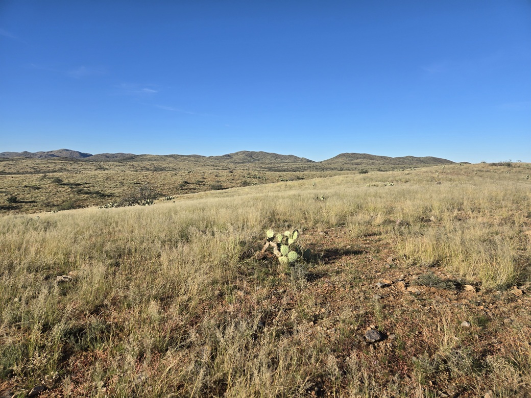
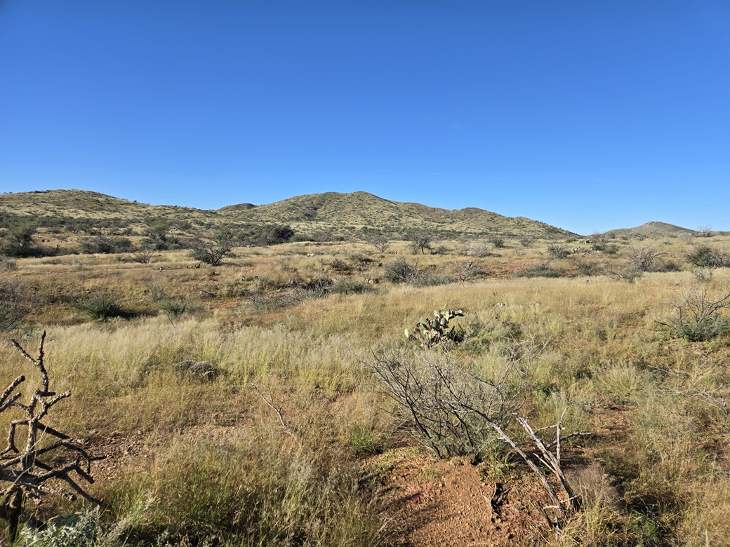
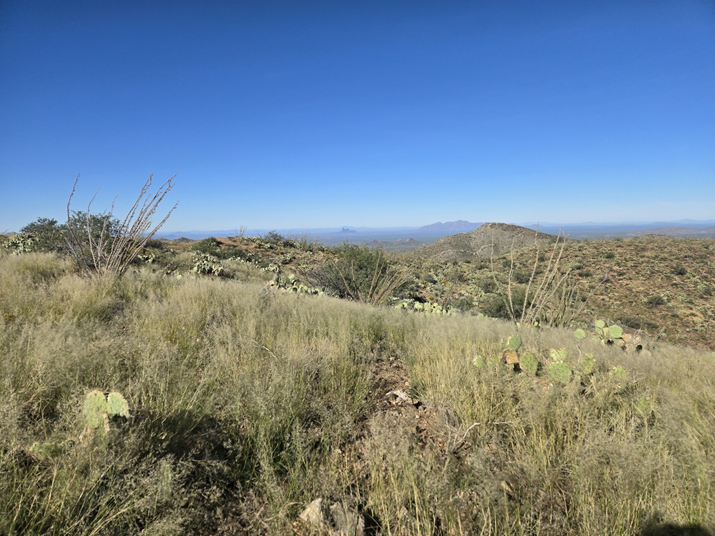
Then I got busy walking. The terrain is wide open grassy fields and undulating hills that may rise and fall just 40 feet at a time. The grass was heavy and wet, and my shoes and legs were soaked as a result. I went in any direction that seemed promising. Sometimes I stayed high on the hills or went low within an arroyo.
The terrain was friendly enough to where I could average a mile every twenty minutes. About two miles in, near a smaller subpeak (Peak 4088) about a mile east of Falcon Benchmark, I came to a fence line. I was able to cross it after finding an opening. Not a gate, but just an opening about four feet wide. I was now in the lower foothills of the peak, with more arroyos to cross as well.
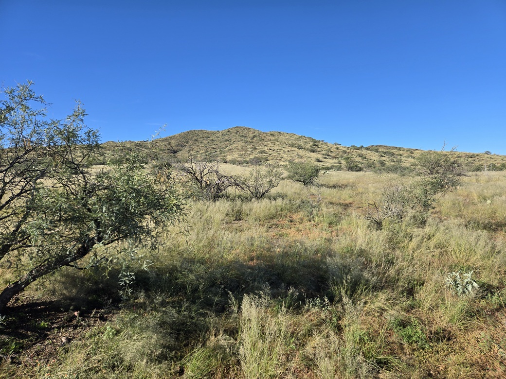
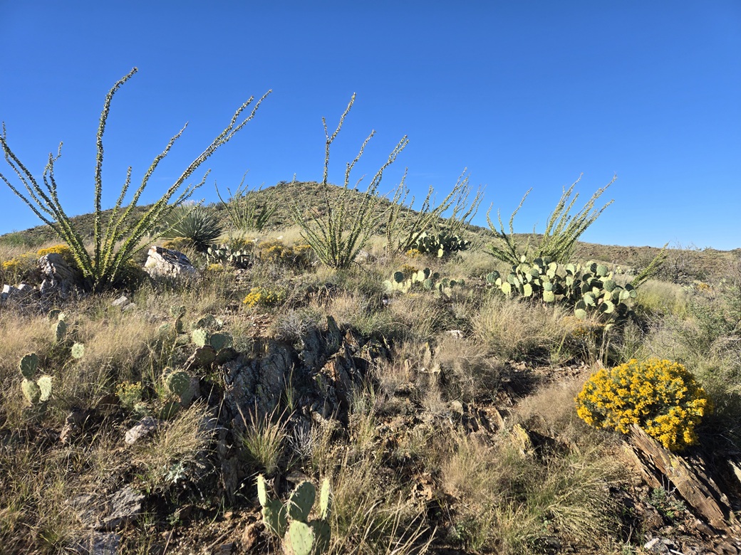
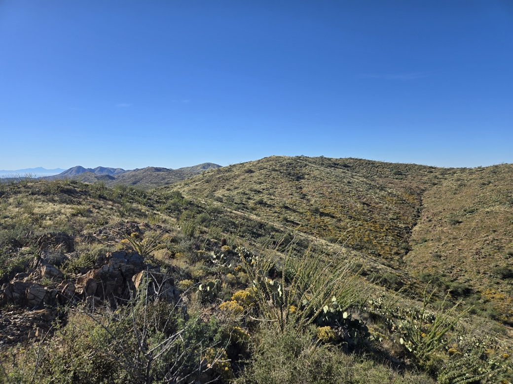
Finally, I was at the peak's lowest slopes, and for the first time in three miles, I was actually gaining elevation. The slopes were grassy with prickly-pear cactus, some cholla, some scattered saguaro, and plenty of creosote and palo verde. The prickly-pear grew so dense in spots I had to make big end-runs around them. There is no way to push through cactus.
This initial slope gained about three hundred feet, then levelled and then up another hundred or so feet, aiming for a point high on the ridge. The summit? I wasn't sure but I hoped so.
When I got to this point, it wasn't the summit. But I could now see it, about a quarter mile distant. I walked along this ridge, dropping about forty feet overall to a low point, then up the final slope to the top. All this in just an hour and twenty minutes.
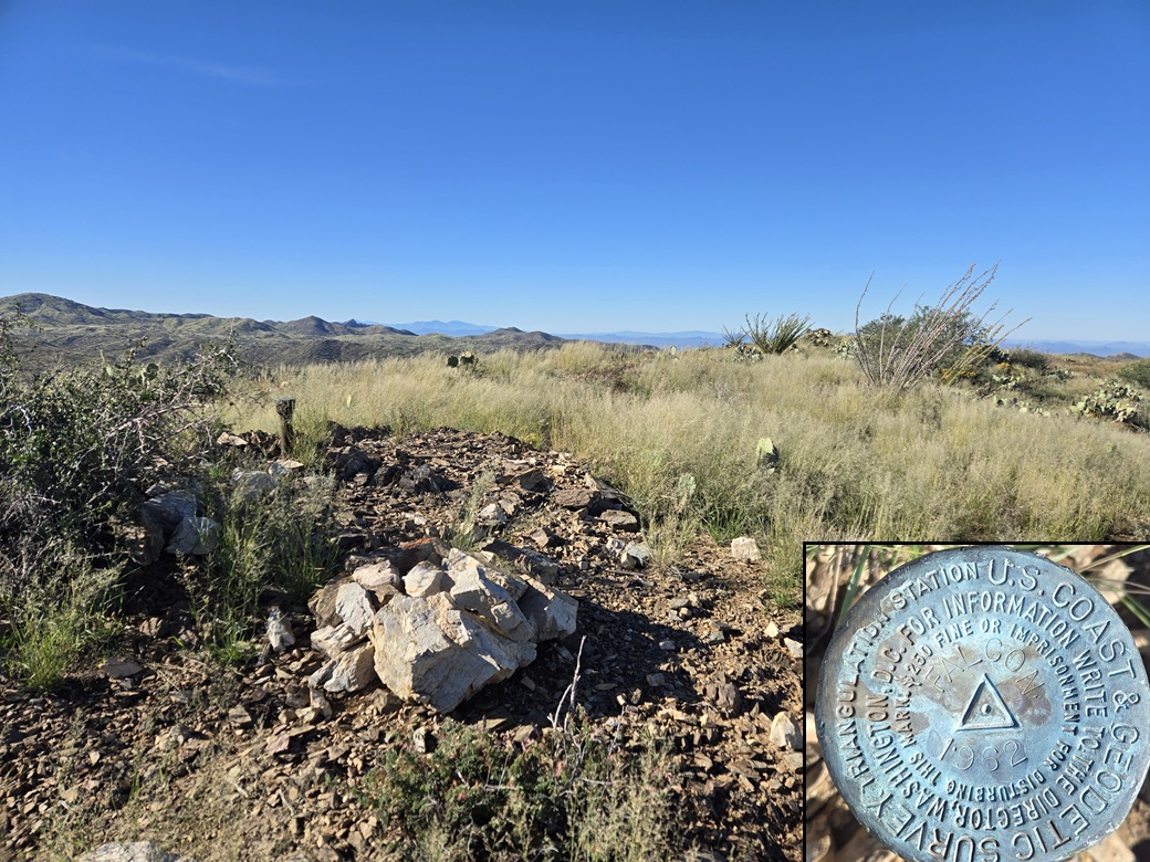
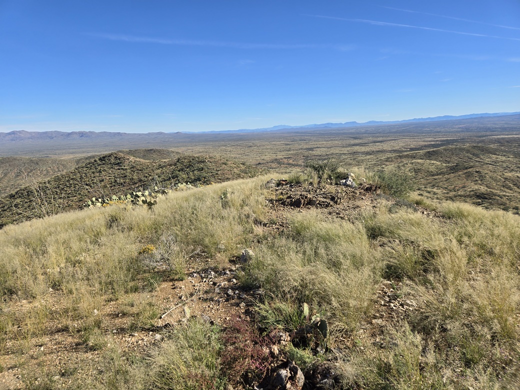
The top is a ridge. The highest point seems to be in the middle, whereas Falcon Benchmark is embedded on a post on the ridge's east tip. This is where I came to first. I shot an image, then walked the extra minute to the probable highest point, and shot a few more images.
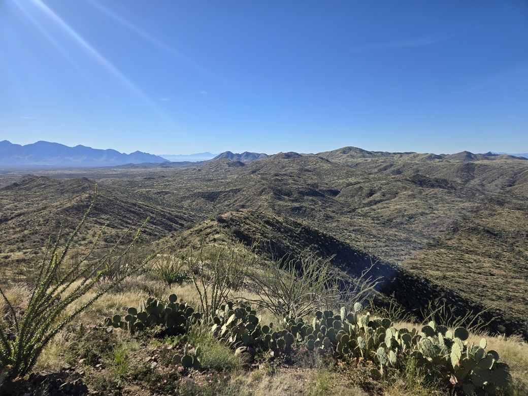
It was very pleasant up here, temperature still cool with a soft breeze. I got a good look at the surrounding desert terrain, able to see desert and peaks all the way to Interstate-10. I walked back to the benchmark and found the register. I sat for a break and signed myself in. It looks like I was the first to sign in for 2026.
I spent almost fifteen minutes up on top, exploring the ridge or sitting on a rock. I enjoyed the hike and this summit very much and did not feel the need to be moving so quickly.
Eventually, I had to start down. I mainly retraced my ascent route going out. Once about half way out, I generally aimed for the distant power poles of the substation. I ended up trending slightly north and following cow paths for almost a mile. These led to Crescent Tank, a favorite cow hangout in these parts (although today, I saw no cows, just some bunnies).
Back at the substation, I didn't concern myself with the signs about video surveillance. I walked to the main gate and somehow got past it. The gate itself was difficult to climb over as it shook if I put weight on it. I got over nearby where a strand of barbed wire had been cut making stepping over it easier.
I was back to my car at almost 11 a.m. on the dot, a hike covering just under 8 miles round trip in about 2 hours and 50 minutes. I was pleased how things went, and that this route worked well. Although long, it was easy walking for about 95% of it.
I changed out of my hiking clothes and continued my drive north toward Tempe. I followed AZ-79 to Cactus Forest Road, which morphs into Kenilworth Road, which morphs into Coolidge Road, meeting Coolidge at highway AZ-87 about 15 miles later. From here, I followed AZ-87 all the way into Chandler and onto the freeways and to campus.
This route worked well for me, but it may not be ideal for Tortilla Benchmark. I am still curious about the roads from that direction, and will explore them another day.
|

|