The Mountains of Arizona
www.surgent.net |
|
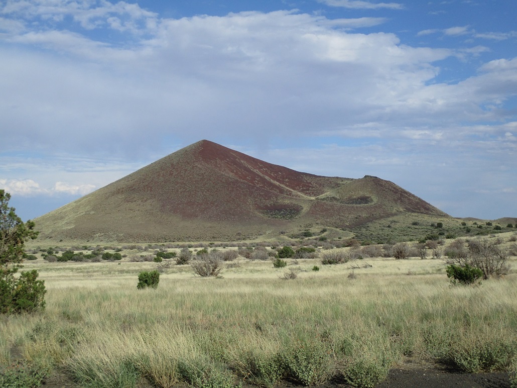
Halfmoon Crater • Peak 6653 I was spending a day in the high country tagging peaks, concentrating on the volcanic mounds on the east edge of the San Francisco Volcanic Field, my first time in the area in two years. After a very-early start from Tempe, I was successful on three peaks straddling Leupp Road. The three peaks individually took no longer than 90 minutes, and it was still just the late morning when I was finished with the third of the three, Peak 7338. A fourth peak had to be abandoned when storm clouds started to build and a bolt of lightning struck nearby. It was warm, too, in the mid-80s. I took the hint and spent a couple hours sitting in a Starbucks near the Flagstaff Mall. By 3 p.m., I was back on the road, heading north up US-89, turning onto the Sunset Crater-Wupatki Road, aiming for a pair of peaks that lie east of the Sunset Crater Volcano National Monument. The guy at the park-entry ticket booth said I didn't have to pay the $25 fee as long as I promised not to stop within the small park. I didn't, and was soon dropping elevation, where the land transitions from forested mountainous terrain to more open rangeland. In the distance was the colorful canyon and badland country of the Navajo Nation. The first peak on the agenda was Peak 6109, now known as Halfmoon Crater.
Date: September 9, 2023
• Elevation: 6,109 feet
• Prominence: 509 feet
• Distance: 2 miles
• Time: 1 hour
• Gain: 590 feet
• Conditions: Very warm
Arizona
•
Main
•
PB
•
LoJ
•
Interactive map
This peak lies a little east of Black Bottom Crater, which I hiked with Matthias three years ago. I didn't really remember which road I needed, but it didn't matter. There's only one road that leaves the main road and heads toward the peaks. I followed it south then east for about two miles, crossing the boundary between the Coconino National Forest and the checkerboard of private and State Trust lands out this way. The peak and the road I was on was on a State Trust section.
All this was going on while the weather was active. The clouds had coalesced into small storms with a steady drizzle and occasional lightning. The big peaks were shrouded in clouds and probably getting clobbered. I rolled into a nifty spot near a metallic stock tank, hidden by a small batch of low piñon. It was still drizzling with a strong breeze, the rain having knocked the temperature into the 60s, a 20-degree drop. It felt good.
I set the driver beat back and took a nap while the rain moved through, which took about 20 minutes. As soon as it cleared, I started my hike, just as the temperature shot up 10 degrees in a matter of minutes.
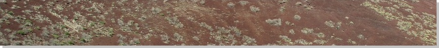
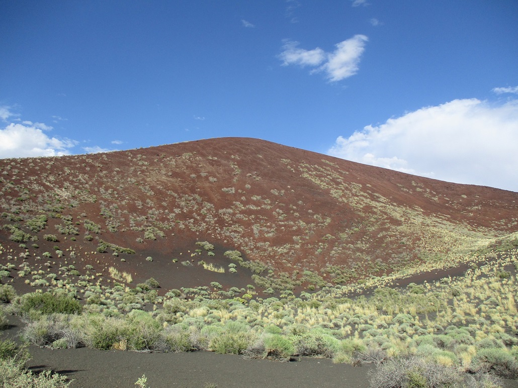
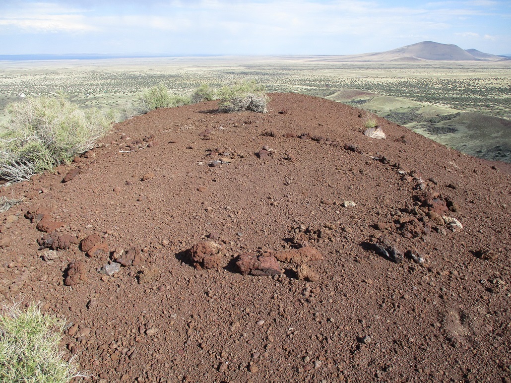
Peak 6109 has a very steep, abrupt profile, no long ridges with gentle slopes to gain the top. It was steep no matter which direction I studied it. The caldera of the interior crater is lowest on the peak's southwest side. On the peak's west face is a noticeable divot. I hiked up the slope next to it and looked down. It was clear this was an old landslide from way back. Down below there was a circular fan of rocks, obviously from the slide.
The slope here was awful. It was exactly at the angle of repose. The slightest pressure on the rocks resulted in small rock slides. I literally would step up three feet, only to slide back three feet. I was crab-crawling this slope out of necessity. Through sheer determination and a hint of stupidity, I was able to grunt up to the crater rim.
From here to the top was just a matter of walking the rim clockwise. It was steep but not as severe, so that footing was a little more secure. There was very little vegetation to hold it all together and I have to wonder if this is one of the youngest volcanic vents in the region and simply hasn't had the time to consolidate. I made the top, which was narrow and bare. A past visitor or two had formed a rough circle with rocks, but I found no register or cairn. Nor did I stop. There wasn't anything to sit on. I got what I came for, so I turned and started down.
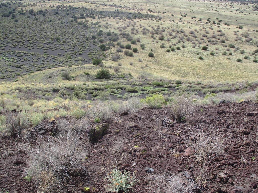
Going down, the rocks slid with me, and I had to be careful not to lose control. I took baby steps and used the poles as brakes. With an elevated view, I knew now to follow the rim to its lowest point, and descend off it from there. That descent went well. It was loose as hell, so I slalomed it. I was soon off the slopes and back on the flatter grassy terrain. I was back to my car, the round trip taking about an hour.
This was a rough little hike, but not challenging other than the loose and steep slopes. Had I known better, I would have ascended to the rim from its lowest point and not screw around with the slopes I had taken up. It was also hot again, back into the mid-80s, and I was now tired, having hiked four peaks today and put on over 2,500 feet elevation thus far.
There is a proposal with the National Bureau of Geographical Names to rename this feature Halfmoon Crater, which is what it's known as locally. At last check (January 2024), it's still being considered, which is promising because that means it hasn't been summarily denied. If and when it becomes official, I will update the information here. Update, July 2024: it was approved on July 11, 2024. The name is now official.
Elevation: 6,653 feet
• Prominence: 228 feet
• Distance: 1 mile
• Time: 30 minutes
• Gain: 260 feet
• Conditions: Cloudy, still warm
PB
•
LoJ
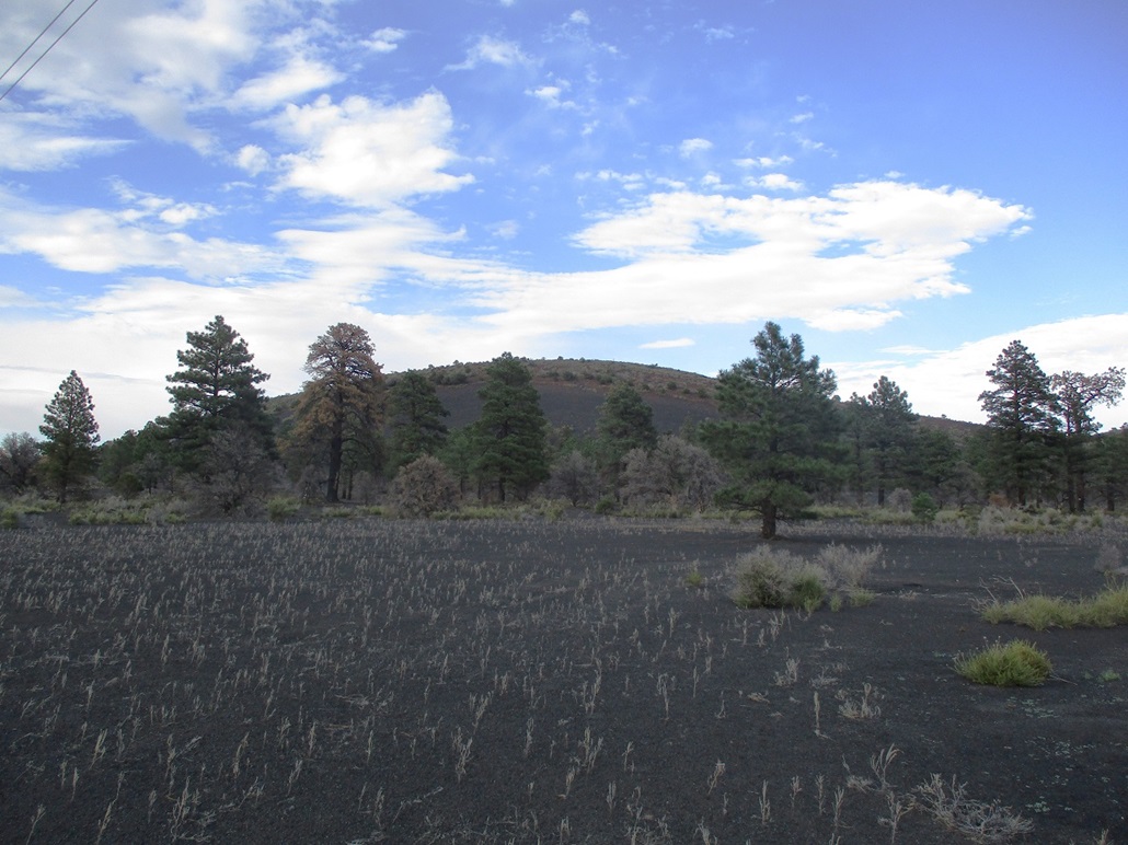
Peak 6653 is an unranked hill, the highpoint of a low ridge of volcanic cinder immediately east of Black Mountain. Its claim to fame is being the highpoint of the Strawberry Crater Wilderness. It is ironic that Strawberry Crater Peak itself is not the highpoint. The wilderness encompasses a lot of surrounding land, including this hill, that rises well above the actual Strawberry Crater and its lava field.
Driving westbound on the Sunset Crater-Wupatki Road, I looked for a track near a big set of power lines that run through here. I found the track, which was a little loose and sandy, but drivable in the Forester. I drove north about two miles, parking off the road about a half mile from the hilltop.
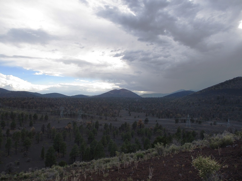
I was officially tired now, so this low peak would be welcome. The weather was active, with abundant storm clouds mostly building around Humphreys Peak but spilling out the surrounding region. The clouds blocked the sun, but it was still warm, still in the low 80s.
I walked across the black volcanic cinder-sand, then angled uphill through the low scrub to place myself on the high ridge, which I walked to the top, a 15 minute hike. The top was indistinct, with what looked like a cairn that had been taken apart. I shot an image or two, but the dark sky made for lousy lighting.
I didn't linger up top. I turned around and walked down the way I came, and was back to the car in a half hour total. Being the last of five peaks for the day, I was definitely done. I had hiked neary 3,000 feet of vertical elevation gain today.
I drove back into Flagstaff and debated whether to stay a night ot go back to Tempe. I pondered my dilemma over a meal at Denny's, then decided to stay a night and try my luck with more peaks tomorrow.
|


|