The Mountains of Arizona
• www.surgent.net
|
|
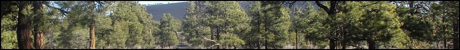
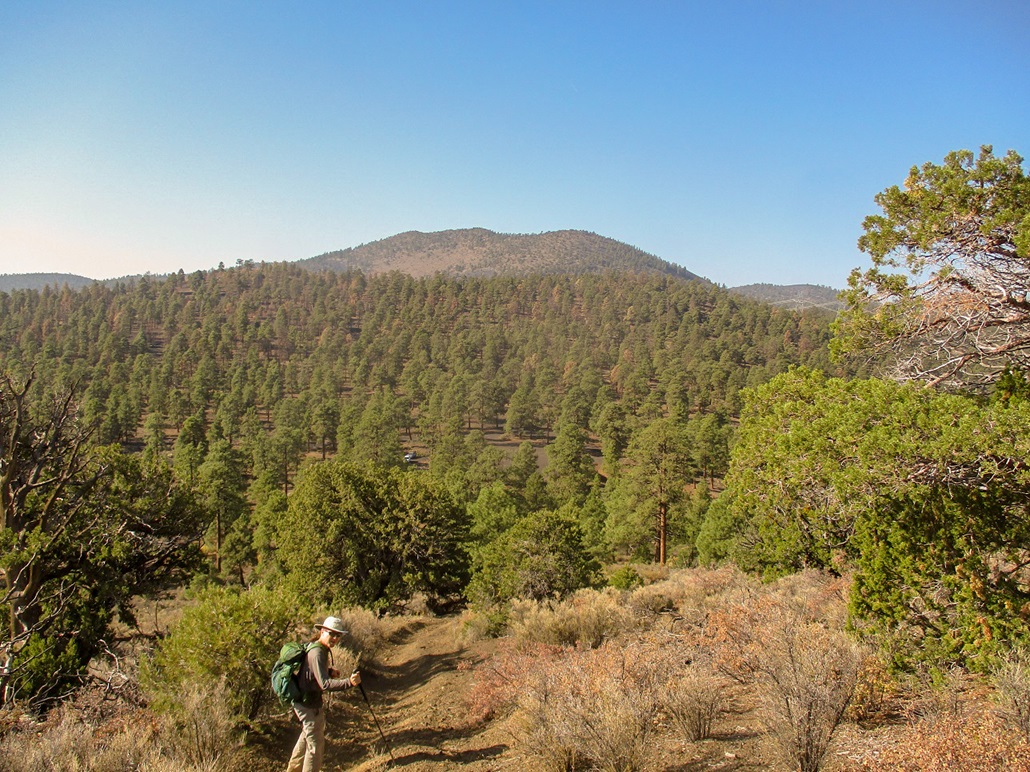
Haywire Crater • Black Bottom Crater • Turkey Hills South Peak Matthias and I teamed today to climb a few volcanic mounds in the Cinder Hills area, northeast of Flagstaff and south of the Sunset Volcano National Monument. The Cinder Hills are a popular off-road vehicle area, and tracks go all over the place, some up to the various hilltops. The highest point of the Cinder Hills is Double Crater. The plan was to hike a couple nearby hills first, then finish off with Double Crater. We were unable to hike Double Crater, so we ended up adding on a peak to the south, in the Turkey Hills.
Date: October 4, 2020
• Elevation: 7,331 feet
• Prominence: 431 feet
• Distance: 1 mile
• Time: 1 hour
• Gain: 437 feet
• Conditions: Sunny and hazy skies
• Teammate: Matthias Stender
Arizona
•
Main
•
PB
•
LoJ
•
Interactive map
We met at 7:30 a.m. where the Sunset Crater-Wupatki Loop Road leaves US-89. We then convoyed a few miles along the Loop Road to FR-224, which gives access to Haywire Crater, the main hill north of Double Crater. We drove FR-224 a couple miles to a pass at elevation 6,894 feet. We rolled in about 8 a.m., the weather warming up quickly. It had been about 30 degrees when I first entered Flagstaff a little before 7 a.m., and now it was into the 60s already.
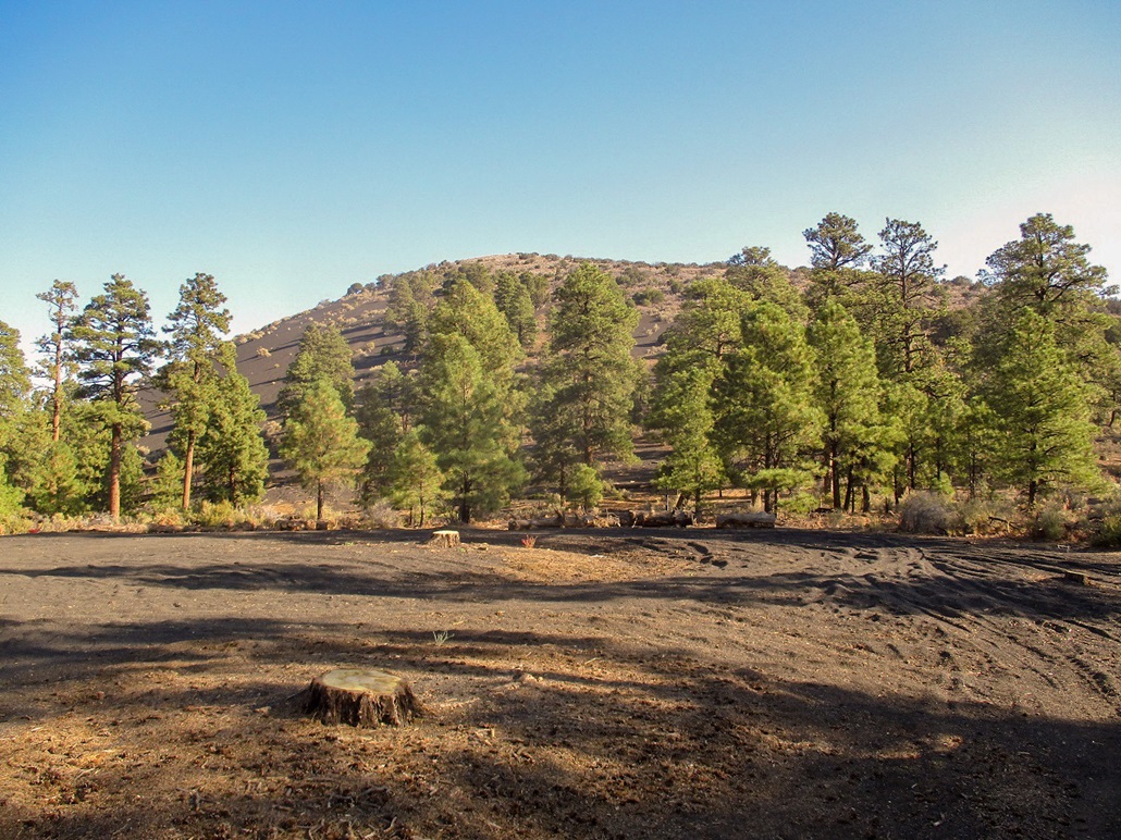
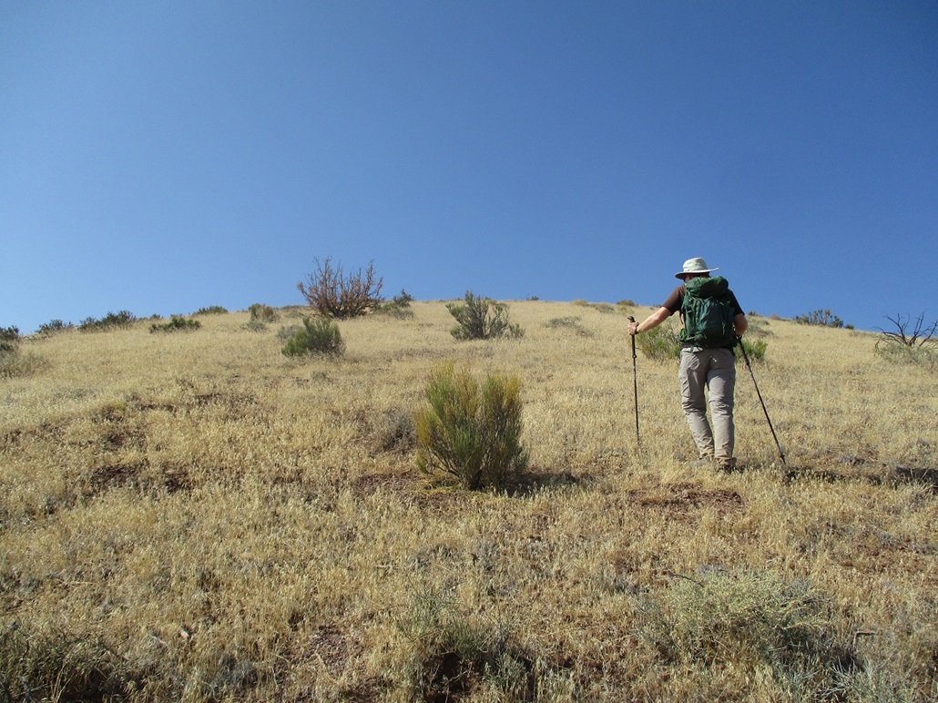
Haywire Crater is a short hike with a path to the top. It would go quickly and be a good first hike to get the legs into condition. We started walking up the path, which appears to be an old ATV track now closed to vehicles. The slope is steep at first, lessening by degrees as we gained elevation. Volcanic kibble about the size of dog food covers the slopes, and each step up usually meant half a step slide backwards. But we did well, keeping to the beaten parts where the tread was more solid.
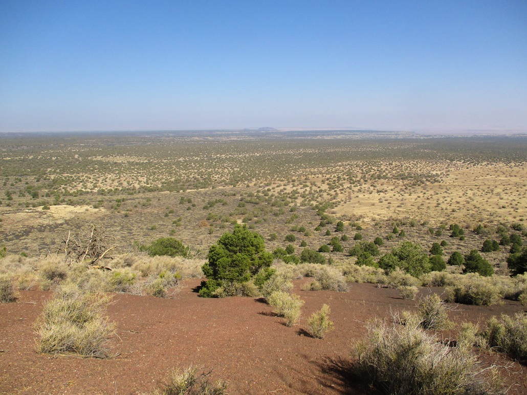
Soon, we were on the top, the path basically a straight-shot to the summit. We covered a half mile in about 20 minutes. Up here, we had pretty good views. The sky was hazy for some reason, possibly from distant fires. The haze combined with the bright sun resulted in a lot of glare, too. The summit itself is just a hump of rubble and low brush, with some scattered junipers. We sat for about 15 minutes. We had views of the main peaks: Humphreys, O'Leary, Sunset Crater, and dozens of other cinder hills. To the north, the land was flatter, heading toward the Wupatki Ruins and the Navajo Nation.
We hiked down the same route, being careful not to slip on the rubble. We were down quickly and the round-trip had covered about an hour. The hike had gone as expected: a short haul up a slope to a top, then back down. It was not a bad hike and enjoyable on its own merits. The road, FR-224, is covered in the rubble and is slightly loose. Normal high-clearance should be sufficient in dry conditions. Smaller vehicles with typically narrow tires may have trouble with the rubbly road bed.
Our next objective was Black Bottom Crater, just a few miles up the road.
Elevation: 6,332 feet
• Prominence: 421 feet
• Distance: 1.6 miles
• Time: 1 hour
• Gain: 595 feet
• Conditions: Sunny, warm and hazy
• Teammate: Matthias Stender
LoJ
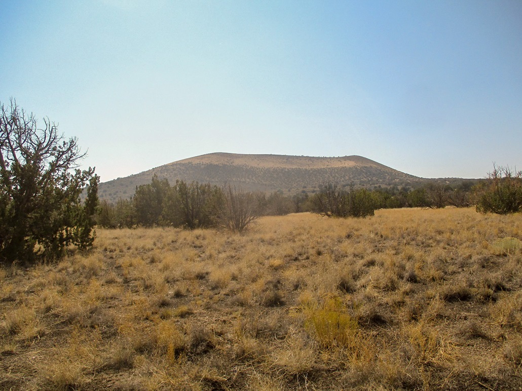
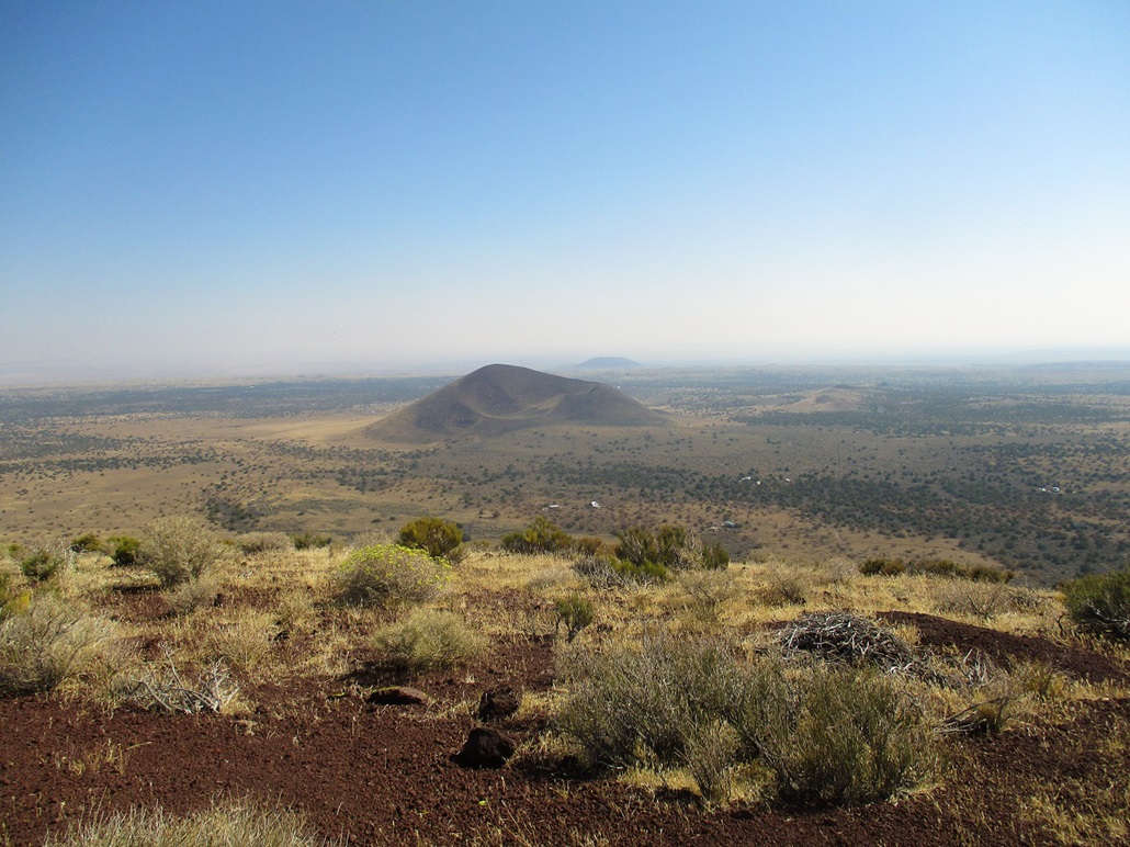
Black Bottom Crater lies on the northeast edge of the San Francisco Volcanic Field, northeast of Haywire Crater, which Matthias and I just hiked. We were in the area to tag a few summits in this region of cinder cones and craters, no real agenda other than to get what we could and hopefully finish off on Double Crater, the local highpoint (that of the Cinder Hills).
After Haywire, I suggested this peak because I had a map for it and it seemed to have decent road access so that the hike could be potentially short. We drove on the Wupatki Loop Road to about milepost 12, where the road drops in elevation and leaves the forest for the scrubbier high desert pinon-and-juniper woodlands. We then eased onto FR-9122-M, and followed it for a mile east, to a small spur road that went south. We drove until the road petered out. The roads were in better condition than we expected. There are some homesteads out this way which means the roads need to be in good shape. The last spur road did not have a number, but is visible on the satellite images.
From where we parked, we walked the remaining few yards of road, then started up the slopes, which were covered in low scrub and volcanic rubble. Going up, the rubble slid underfoot, but we had open lanes the whole way and soon were on the upper slopes which was covered in low grass, making for better footing. In about a half-hour, we'd achieved the summit.
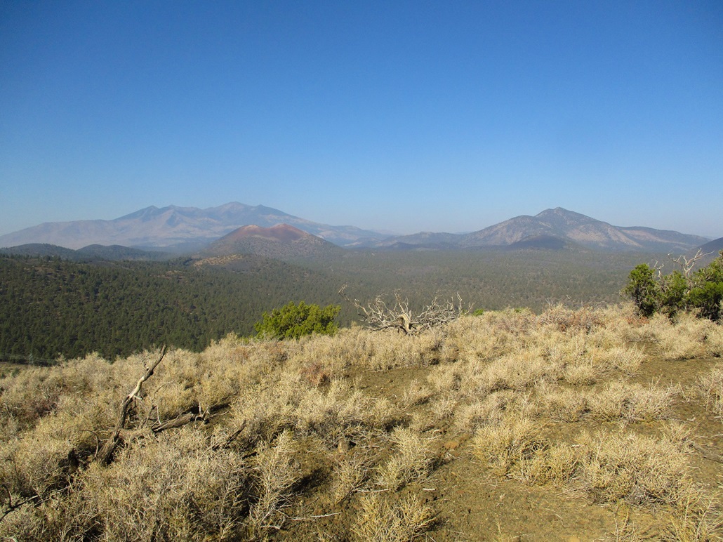
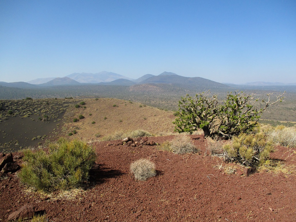
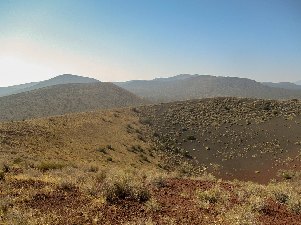
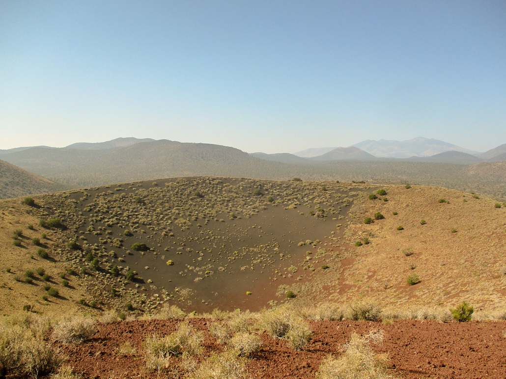
The top was bare with a small tree off to the side. The big crater itself was below us, a circular pit about a hundred feet deep with well-defined sides. We had fine views of the Cinder Hills and of Humphreys, Sunset Crater and O'Leary Peak. However, we also had hazy skies which muted the colors and added glare. Looking north and northeast, there were no more hills. We could see high desert, then cliffs and way off in the distance (in the haze), canyons and mesas of the Navajo Nation. We spent about 15 minutes up top resting and looking around. We could not locate a benchmark or register.
Hiking down, we followed the same general route. The rubbly slopes were pitched just right to allow for long-stepping and jogging down the slopes, the rubble catching my feet well. We were down in about 10 minutes, with a pound of gravel in each boot. That was some of the best fun I've had on a descent ever! Our round trip covered 1.8 miles and took an hour. It had not taken long as we expected it wouldn't. This had been a fun hill to climb and one I recommend.
We motored back to the main road, intending now to go climb Double Crater, but we discovered the main access road is permanently gated shut here, which shut us out of Double Crater as we had no information on how else to best approach it. No big deal. We just looked around for something else to climb. I suggested Turkey Hills South down by the interstate. It was getting warm now and this hill had a road to follow and looked logistically easy. I'd put it off a few times and now felt this would be a good time to visit it.
Elevation: 7,430 feet
• Prominence: 740 feet
• Distance: 2.8 miles
• Time: 90 minutes
• Gain: 587 feet net, 647 feet gross
• Conditions: Sunny & warm
• Teammate: Matthias Stender
LoJ
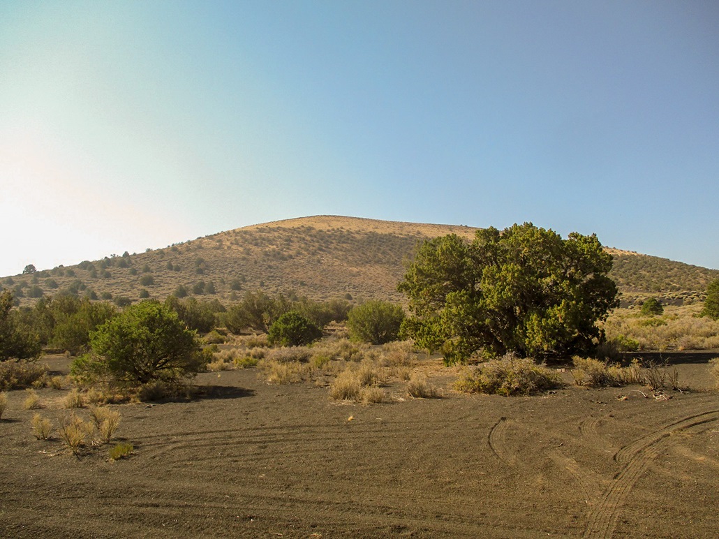
The Turkey Hills consist of two hills, north and south, with the south one being the highest, about five miles east of Flagstaff. Matthias and I were in the area tagging summits up in the Cinder Hills by Sunset Crater. However, we were shut out of the main desired peak up there, Double Crater, when a road to it was closed. We'd already hiked two hills, the last being Black Bottom Crater, so we bandied some ideas for a third hike, and decided upon this one. Turkey Hills South has easy road access and a road to the top suitable for hiking. It wouldn't be anything special, but it would be something to hike before heading home.
Me, I've been here three times now intending to hike this peak, each time putting it off for a later visit. A year ago, I had no map and forgot what road or exit from the interstate to take. Back in May of this year, I planned to hike it but bypassed it for other hills instead. Then in July, I drove up to its base, but it was too hot, even at these elevations. Maybe the fourth time would be the charm.
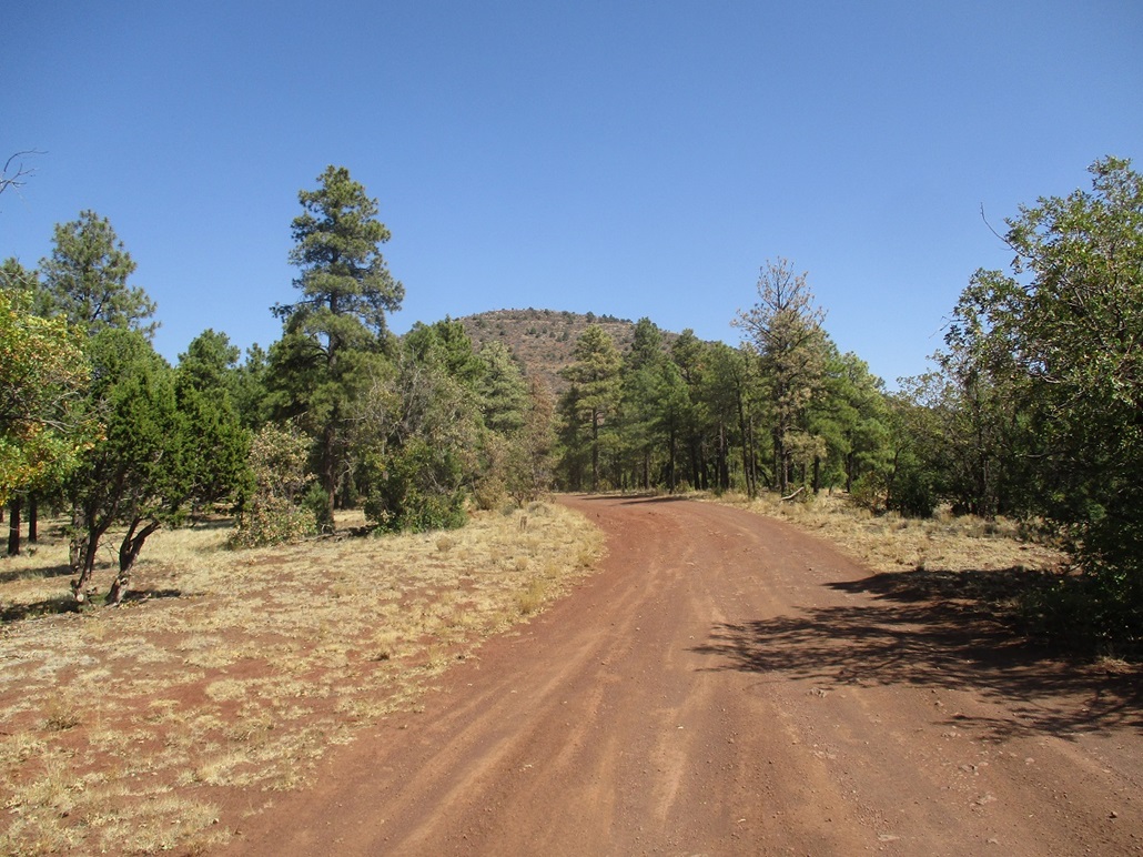
We got onto eastbound Interstate-40 to the Walnut Canyon exit (#204), then onto the northside frontage road, which is the old US-66 alignment. Less than a mile later, we eased onto forest road FR-791, then on it for a mile (probably less) to a junction where FR-791 gets worse in quality. We parked off to the side. It was a little before 11 a.m., the day sunny and warm, but not too bad as there was a breeze.
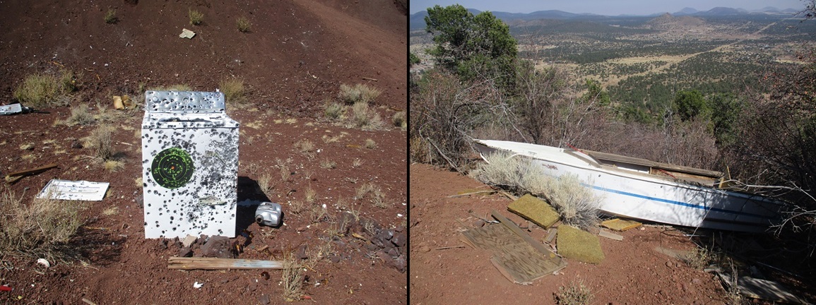
We followed FR-791 toward the mountain, staying on the main road, there being many lesser tracks that jut off the main track. The main road gains gently up the south base of the hill, eventually coming to a big cinder pit, now used for target practice by the shooters. Among the things they were shooting was a washing machine that now had hundreds of bullet holes in it. The area was full of casings and other trash items, targets of various styles and other random detritus.
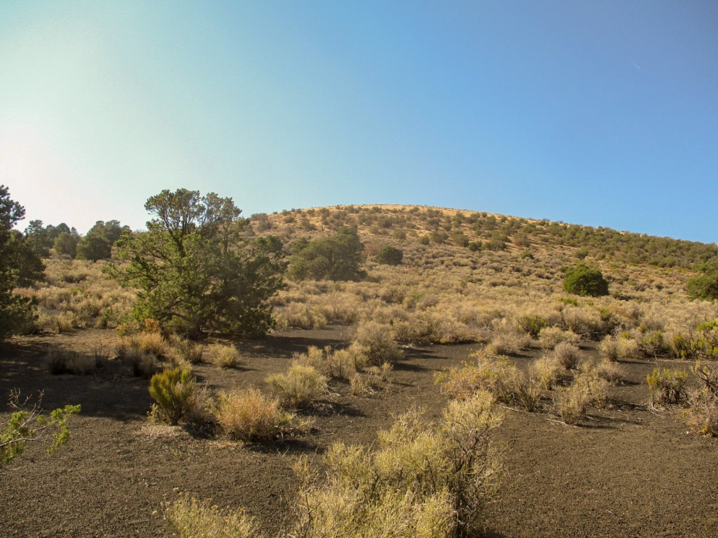
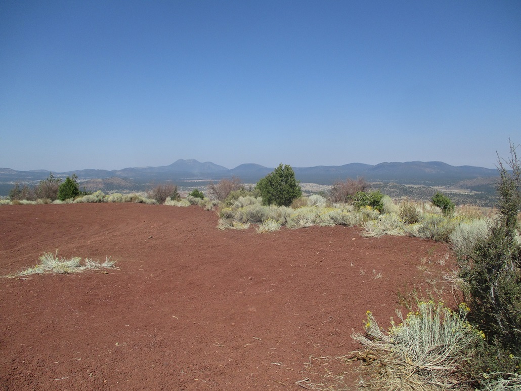
The "main" road now bends sharply left up a steep and loose slope, covered in pea-sized volcanic rubble. But it was short, and soon, the road improved to a typical shelf road about eight feet wide and a firmer roadbed. The road then encircles the hill almost two full revolutions, to where the gradient was barely noticeable. But busting upslope directly meant going through brush, so we stayed on the road. Along the way, near the top, was an old speedboat. It was lying off the road a few feet, beaten and haggard due to being in the open for so many years. The top was just another minute up the road.
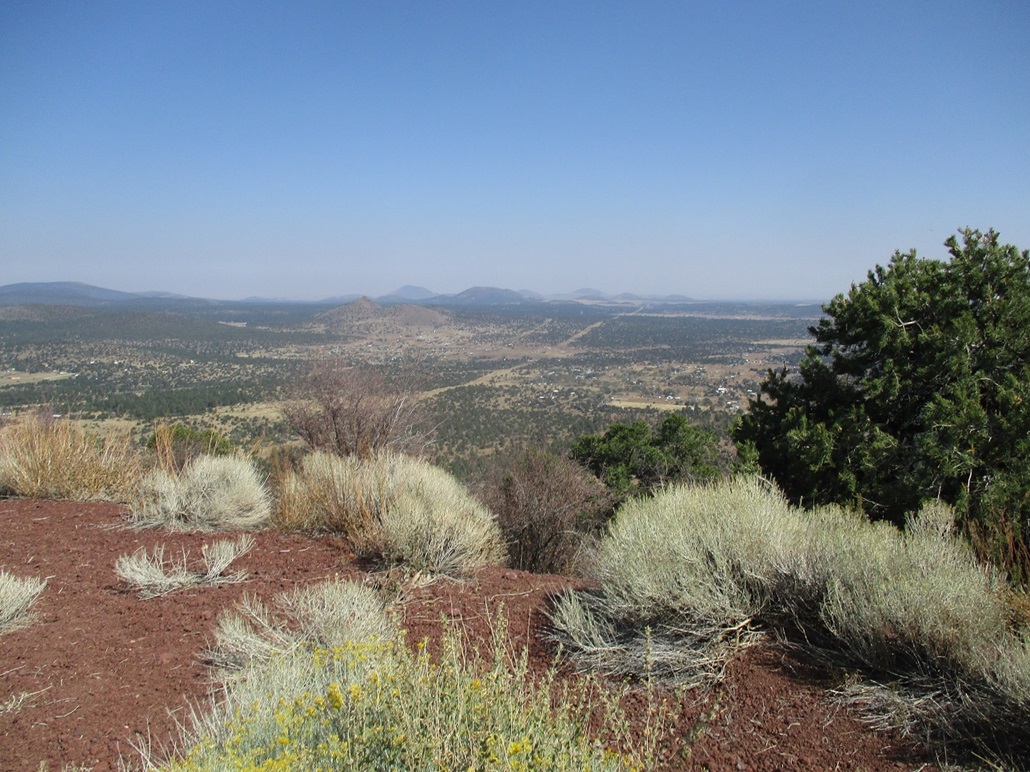
We arrived on top quickly, but it was nothing to get excited about. We sat on open ground and relaxed a few minutes, looking around. The top appears to have been shaven flat to accommodate vehicles up this high. The surrounding views were nice, but we did not spend much time here.
Going down, near where the boat lies, is a track that leads steeply downhill to the cinder pit and shooter's area. We followed it down, saving us the hassle of hiking down the longer way. The tracks were covered in volcanic kibble, and were steep, but we were down to the cinder pit in just a few minutes, shaving off 0.6 miles and probably twenty minutes. Some of these tracks were very loose and would be essentially impossible to hike uphill.
We were back to our cars not too long thereafter. We'd covered 2.8 miles on the hike in a little over an hour. It was about 12:30, and we got what we (mostly) came for. I was pleased to get this hill into the books, seeing this as an opportunity to get it done. We parted ways here. I wanted to head east on Interstate-40 to Winslow, then follow AZ-87 back to Payson. I wanted to inspect some roads and gates along the highway that could provide access to the Sunset Mountains, two large mesa-plateaus that rise about 30 miles south of Winslow. I was home by 4 p.m., happy to have three more summits done. Cumulatively, we hiked about 5.5 miles with almost 1,700 feet of elevation gain today.
We haven't the foggiest clue how or when or why a boat got up here. We wondered about the thought processes of the guy who thought it would be a good idea to drive up this high, towing a boat. And then why it was left here and why no one's come to retrieve it. So a boat lies here, likely forever or until it decays into nothingness.
|


|