The Mountains of Arizona
• www.surgent.net
|
| High School Hill |
• San Francisco Volcanic Field • Kaibab National Forest • City of Williams, Coconino County |
|
Date: July 26, 2019
• Elevation: 7,698 feet
• Prominence: 458 feet
• Distance: 3.6 miles
• Time: 90 minutes
• Gain: 738 feet
• Conditions: Sunny and warm with scattered clouds
Arizona
•
Main
•
PB
•
LoJ
•
Interactive map
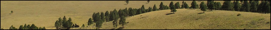
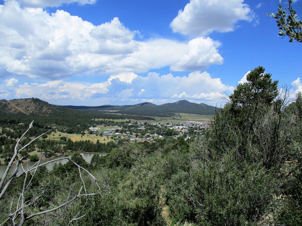
High School Hill rises southeast of Williams, some of the homes lying on the hill's north slopes. The hill has steep lower slopes, and a flattish mesa-like top, with a hill on the east end being the highest point. I am not sure how the name came to be. The high school itself lies on the west side of the city.
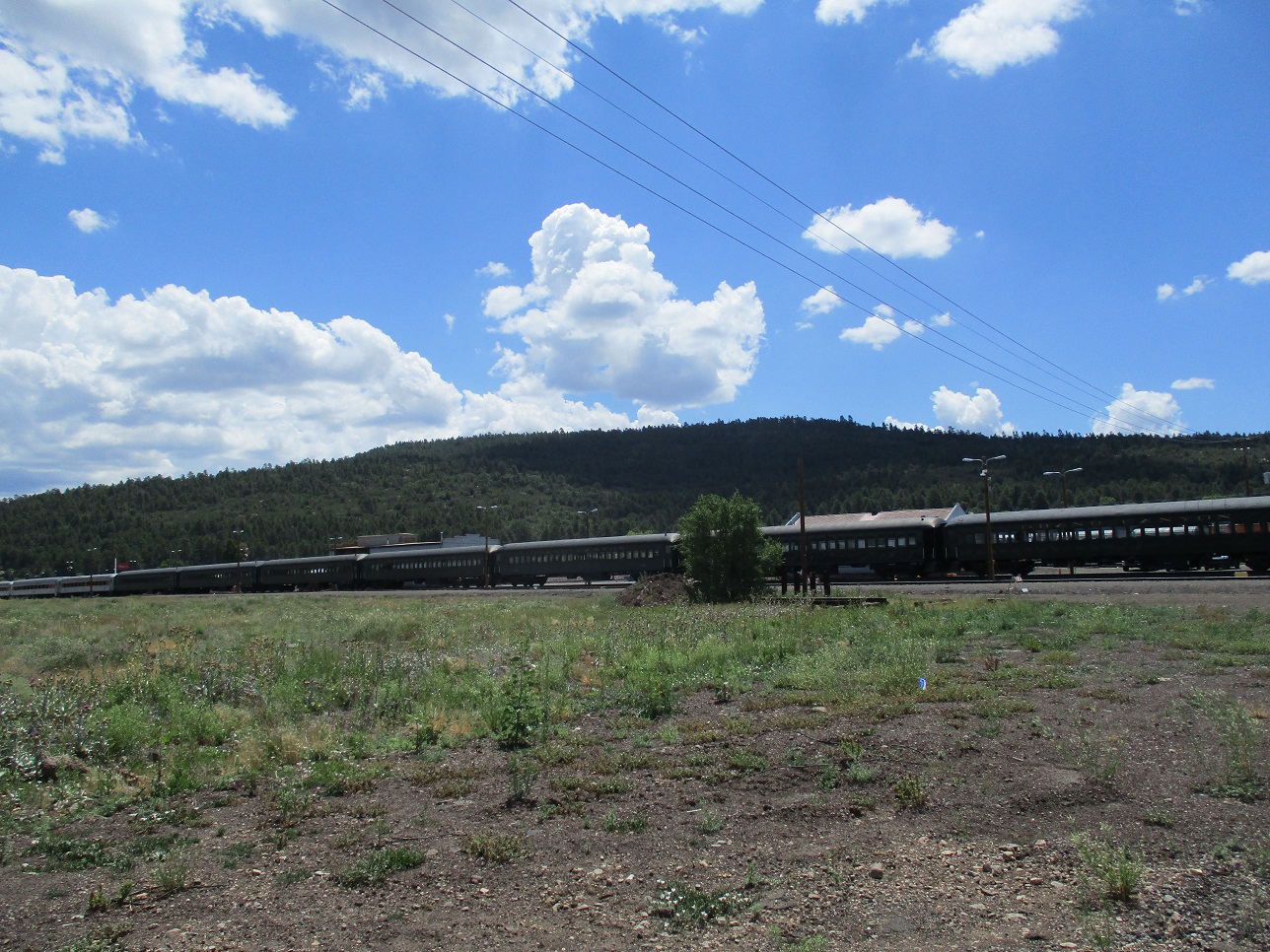
I was driving to Henderson (NV) to visit my folks. I left Scottsdale about 7 a.m. and went north through Prescott Valley, catching US-89 and taking it to Ash Fork. From there, I followed Interstate-40 east to Williams, arriving about 9:45 a.m.. I wanted to hike this hill to split up my drive.
In Williams, I exited at the main Grand Canyon Boulevard exit, stopped at a gas station to get drinks, then drove south on Grand Canyon Boulevard through the touristy parts of town. Past the shops, the road is renamed 2nd Street. I followed it south up a steep grade and parked in a small turn-around located beyond the last home on the road, about a mile past downtown and a couple miles from the highway.
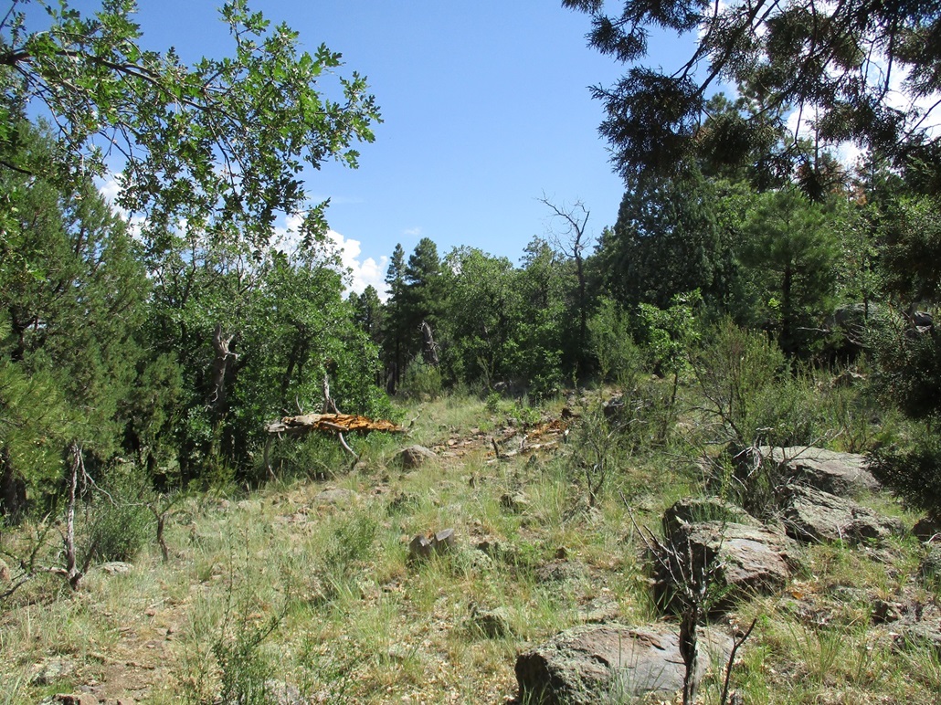
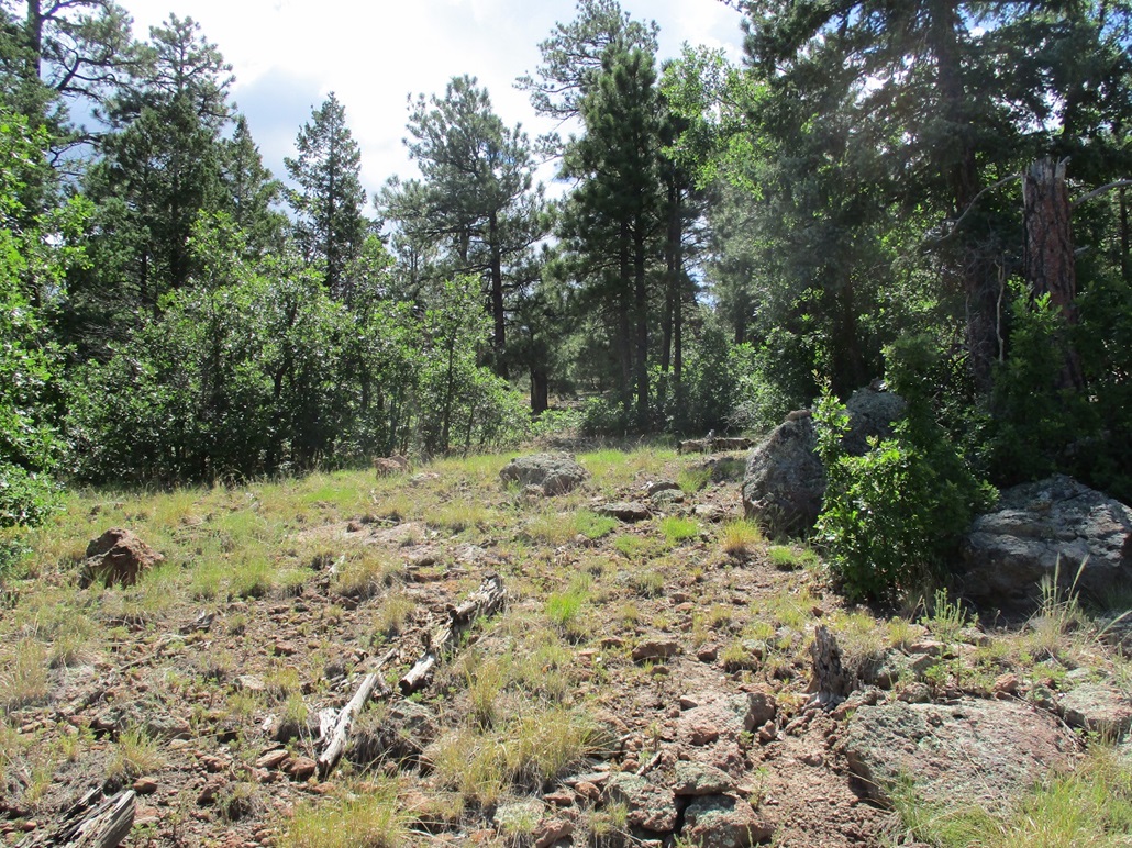
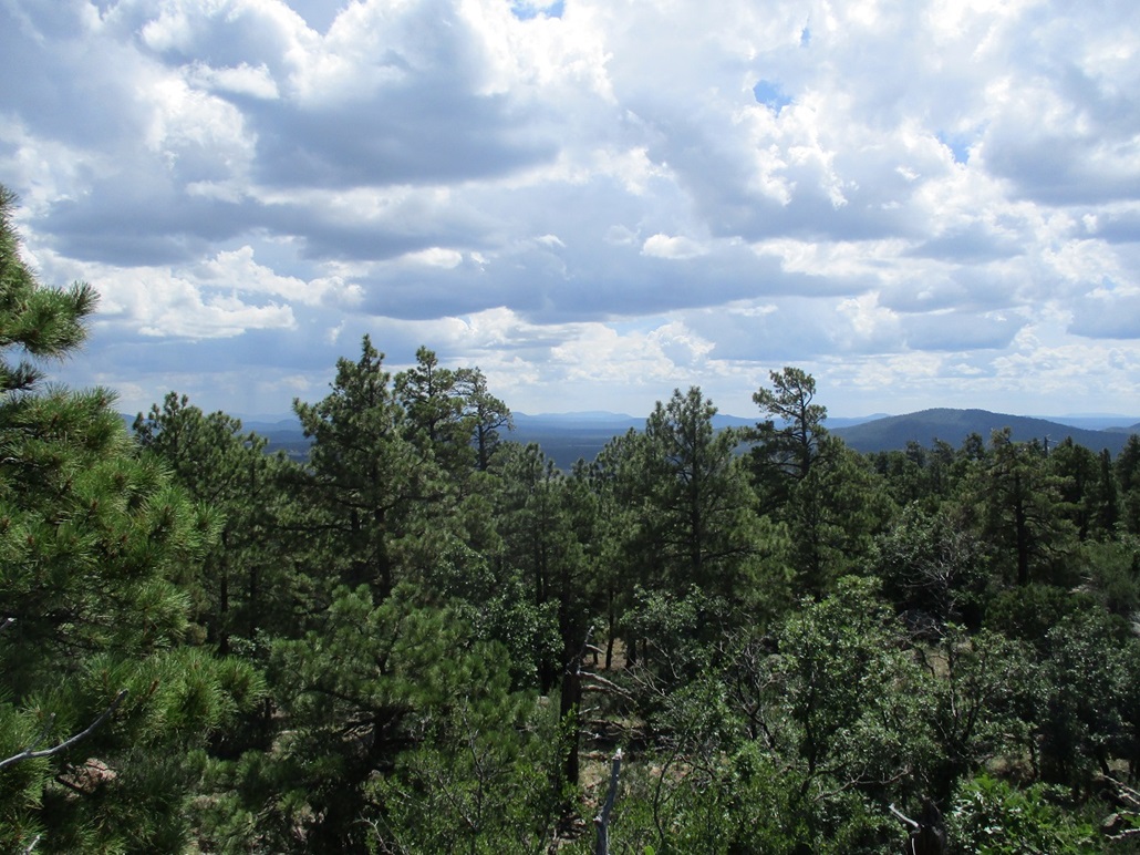
It was warm for this elevation, about 83 degrees, when I started hiking. There were clouds above me, puffy ones but nothing organizing into actual storms (yet). I found a trail and walked up, angling left toward a rock pile. The trail angles right, so I followed it. It travelled southeasterly for about a quarter-mile, gaining steadily in chest-high scrub and some scattered juniper.
The trail then makes a couple lefts and starts steeply up the slopes overlooking Santa Fe Dam down below. Now travelling northeasterly, the trail achieves the flatter highlands and levels out, with lenient grades. Here, I met two older men coming down. They said they hike it every day, and I was the first person they'd seen in a long time. We had a five-minute chat, mainly an excuse for me to rest.
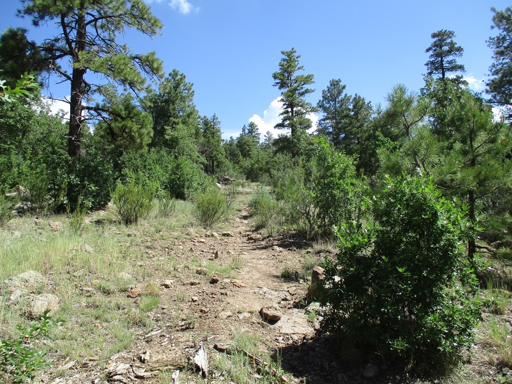
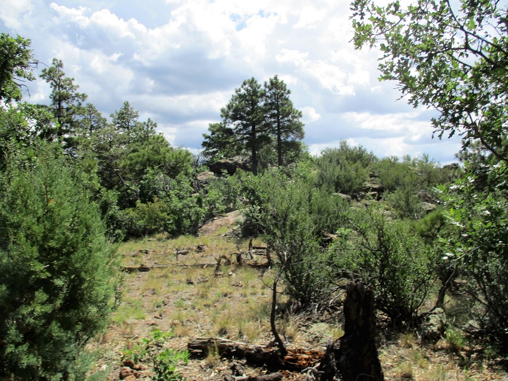
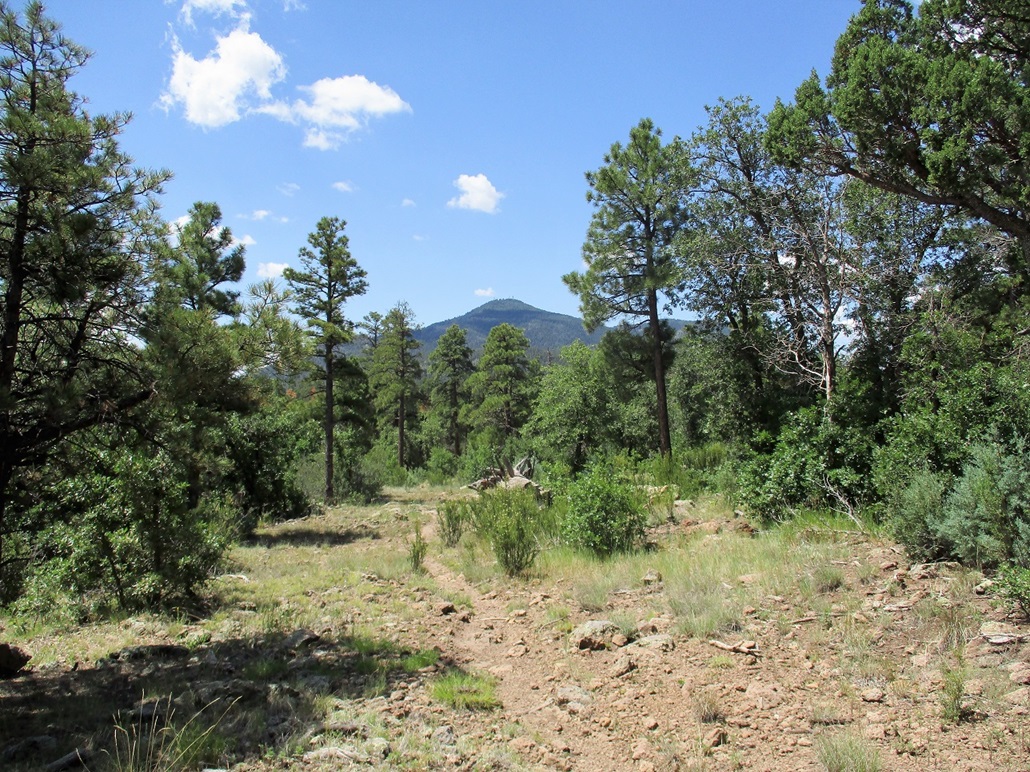
We went our own ways, and I continued on the good trail through a mix of ponderosa and gambel oak, plus grasses and scrubbier plants and a few cactus plants. I made good time, moving well. The good trail then ends in a patch of ponderosa, and a lesser trail angles right. It was weak, but most of it had cairns. I followed this path uphill, gaining about 120 feet, until I was near the summit ridge.
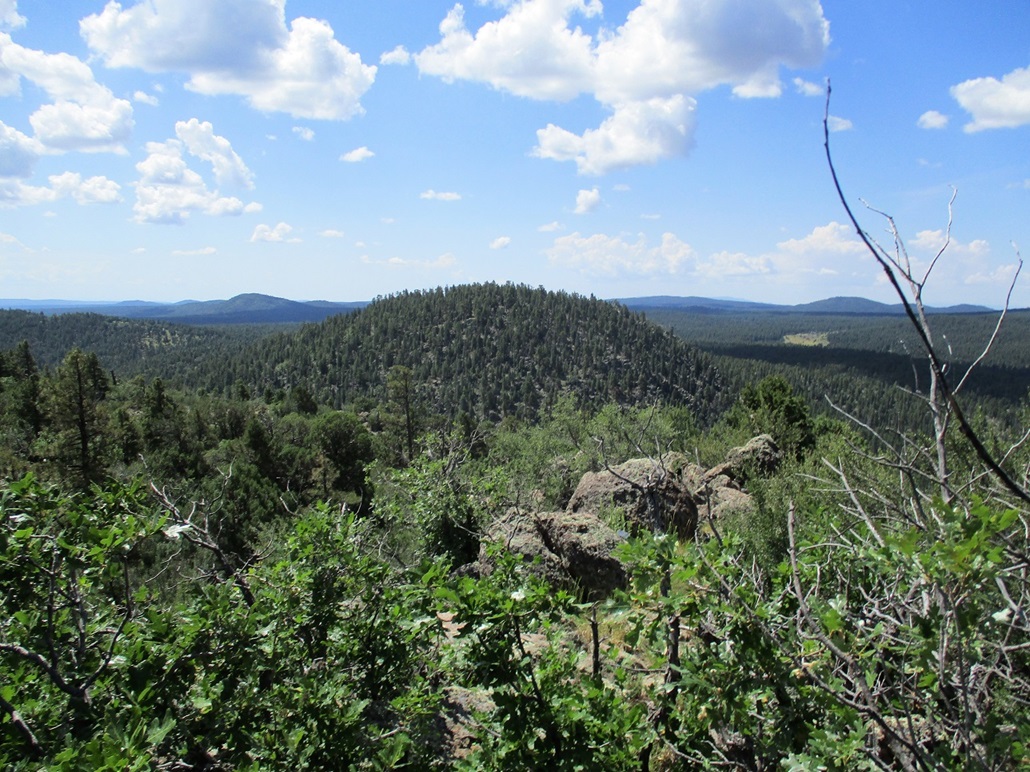
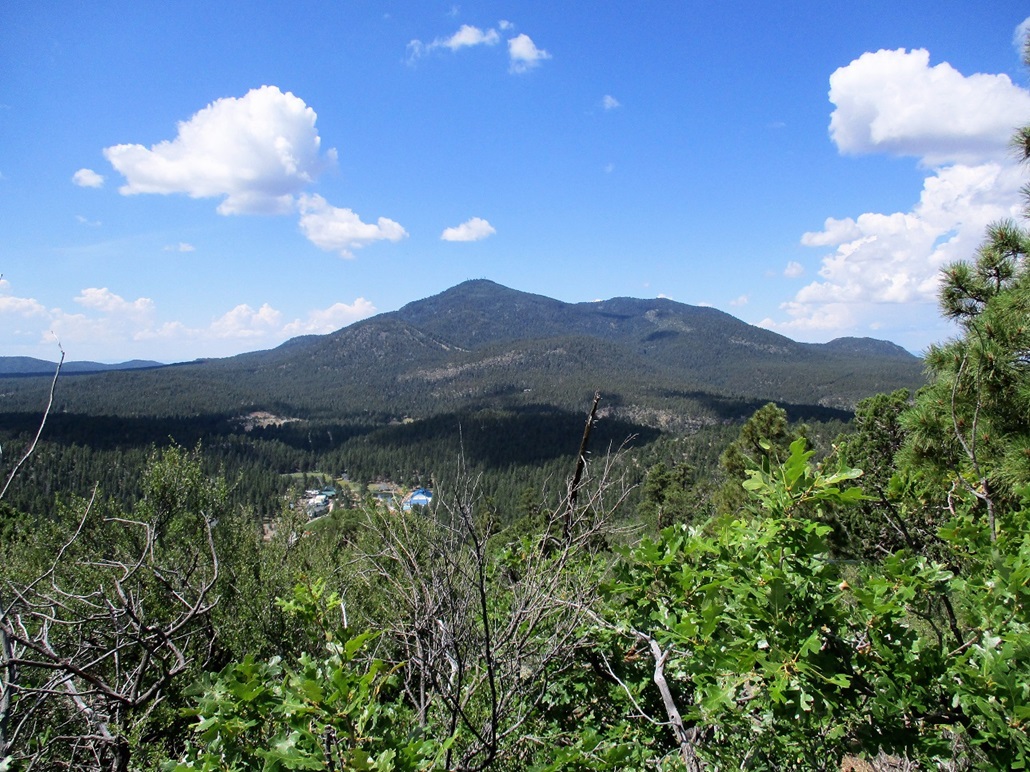
The highest point is a jumble of rocks on the little hill's east end. Thre was lots of brush, and views were limited to the west, south and southeast. I had a commanding view of Bill Williams Mountain and of the smaller volcanic hills that sprinkle this area. The weather was pleasant and a little breezy. It had taken me about 45 minutes to get here in 1.6 miles, a gain of about 740 feet, which surprised me a little.
I retraced my route exactly for the egress. I took a longer rest along the way, but still made it out in a little over a half hour, my total time about 90 minutes. I changed into more confortable driving clothes and resumed my journey west to Nevada.
The hike was a pleasant outing, with a good trail and good views along the way. I had hoped to hike a few more hills in the area, but I had a lot of miles to drive. I decided to play tourist and take the scenic route from Seligman along AZ-66 (old US-66) through Peach Springs and into Kingman. I hit some rain along this stretch. In Kingman, I had traffic, but things were not too bad into Nevada. I crossed the bridge and then followed the new Interstate-11 for about 15 miles, satisfying my nerdy desire to drive any new freeway at least once.
I had a good visit with my parents. I returned to Scottsdale two days later.
|

|