
The Mountains of Arizona
www.surgent.net |
|
Peak 2949 • Peak 2650 • Peak 3073 Today I would be slumming it in the Merritt Hills, a collection of rocky summits west of Wickenburg, straddling state route AZ-71 between routes US-93 and US-60. In other words, way the heck out there. The weather was driving my plans. It was expected to be mostly stormy over the next two days, with higher elevations most likely for heavy rains and possible flooding. These storms are apparently the outermost bands of a hurricane off the tip of Baja California that developed and decayed in recent days. I had plans to be up in Prescott again, or at least in that general area. But I did not want to be trying to outrun rain and lightning. Some of the roads might get flooded. I figured I would wait on those peaks and go somewhere where my odds were better. These hills seeemd to offer what I was looking for. They all have easy access, and are short enough that I could bail if necessary. Also, the forecast for Wickenburg was just partly cloudy and slight chances of rain, nothing major. It would be warmer, but not dangerously hot. I was on the road from my cheapy hotel in Scottsdale at 4 a.m., following the Loop-101 to Interstate-17, then AZ-74 into Wickenburg. I stopped at a Maverik for snacks and drinks. It was still dark. I stayed on US-93 for about twenty miles until I came to the AZ-71 exit. By now, the sun was barely up, but it was still mostly gray and dark. It was cool(ish), about 78°, and extremely humid. I exited onto southbound AZ-71. I had a couple peaks on the agenda, and would see how things went and how I felt. The first peak, Peak 2949, looked promising due to decent road access and a nice gentle profile.
Date: September 15, 2026
• Elevation: 2,949 feet
• Prominence: 377 feet
• Distance: 1.6 miles
• Time: 1 hour, 15 minutes
• Gain: 480 feet
• Conditions: Cloudy, kind of cool, very humid
Arizona
•
Main
•
PB
•
LoJ
I wanted a road at about the 6 mile mark, reckoning from US-93. I found it, while driving past it. I doubled back and went in. It is gated but not locked, this being contiguous State Trust land.
I didn't get too far, about a mile, before parking on a cleared elevated bluff beside a broad arroyo. I was close to the peak, and driving the road farther wouldn't help me.
The sun was still rising and blocked by clouds to the east. It was still and quiet, warm but not uncomfortable. There was no breeze. I suited up in long sleeves and pants mainly to guard against brush. It was extremely humid. Two steps in and I was already sweating.
I aimed east, walking through the mesquite and grasses alongside the broad arroyo braids. Once past that, the brush lessened, mainly creosote and various cactus, but little grass. I could see the ground clearly. As usual, snakes were on my mind.
It was less than a mile to get to the base of the long north ridge of the peak. The grade steepend slightly and the rocks would occasionally slip or roll, but the footing was mostly solid and I was making good time.
Once on the ridge, I turned south and had about a quarter mile to the summit, which was not visible for the moment. The terrain up here was open and easy to navigate. Rocks would pile up and I found it faster to just weave through them rather than walk around.
Shortly, I closed in on the summit. Here, I "scrambled", basically one move up a five-foot rock face that had I bothered, could have found a walk-around. That was it. I was on top. I just had to walk a few more paces for the actual highest rocks.
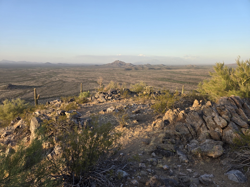
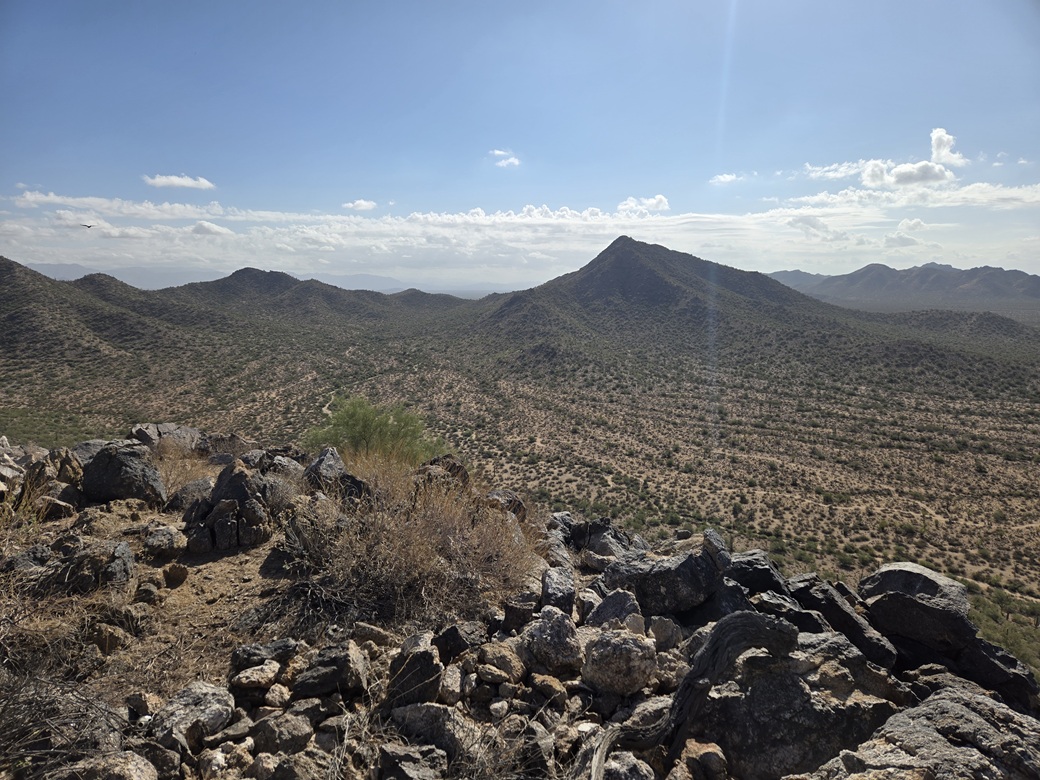
Views were good, the sun still low and providing shadows. I signed into the log, but did not stick around. It had taken about 40 minutes to get here. Conditions were still the same, and I did not want to waste time.
I walked out the same route. I could see my car glinting in the distance, so I kept a bearing toward it, now blocked by the trees. However, I could often fellow my own bootprints. I came out to it about thirty feet wide. Not bad navigatin'.
The round trip took a little over an hour. It was about 7:20 a.m. and the same still sultry conditions. Not comfortable, but not hot. Just sweaty and sticky. When I sratted the car, it read 80° outside. The dewpoint felt like 75°.
Elevation: 2,650 feet
• Prominence: 307 feet
• Distance: 1.2 miles
• Time: 45 minutes
• Gain: 360 feet
• Conditions: Sunnier, warm but tolerable
PB
•
LoJ
This little peak rises about three miles south along AZ-71, nearby the Nellie-Meda Mine and some bigger peaks that I have never bothered with to this point in my life.
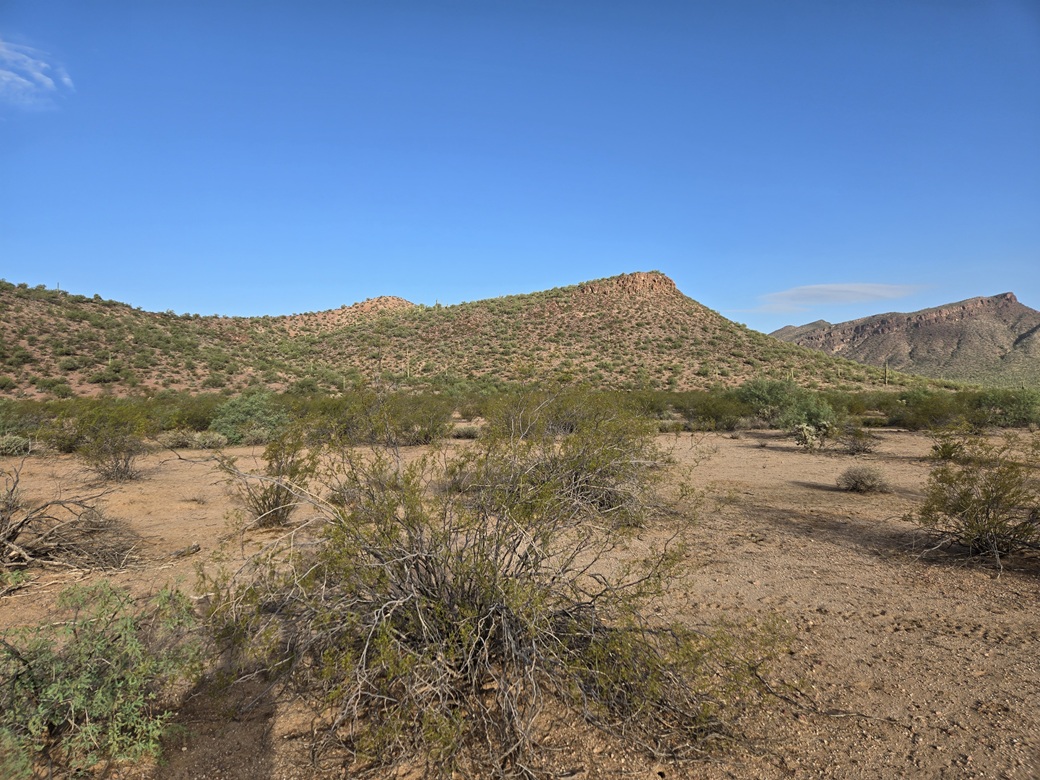
I parked alongside the highway in a clearing where trees blocked my car from being seen by passing drivers. Peak 2650 rises just across the road, right there. No long approach walks for this guy.
I crossed the highway, then had a little trouble finding a way to cross a grassy arroyo, concerned about any critters hiding therein. I found a spot and just barged through. Past that, I came to a fence, squeezing under it.
The ground rose immediately, a gentle grade aiming for a small indentation where the peak curls around it like the letter C. The summit rose to the north, my right as I walked in.
Terrain was like before, mostly scattered creosote and cactus. Higher up, I had to high-step over some low rock barriers. Then I aimed for a rounded hill, and walked up and down it, a loss of about 30 feet.
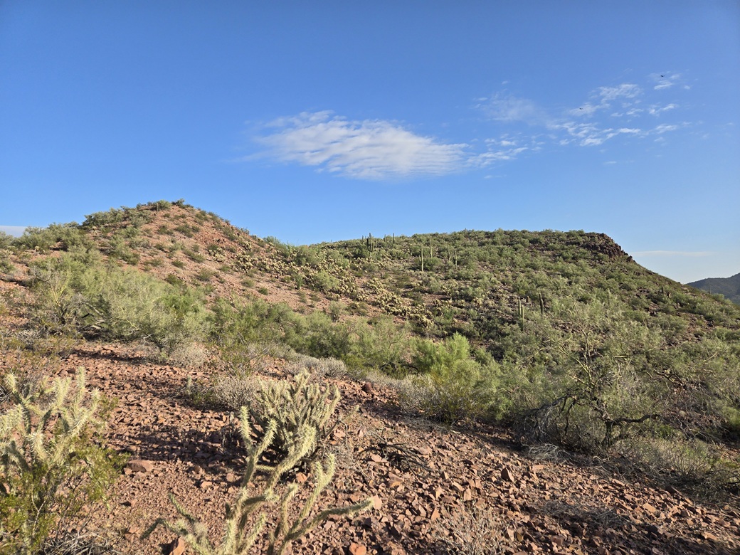
This put me in a patch of heavy cholla. The peak rose ahead, a long ridge where the highpoint could be anywhere. I carefully sidled through the cholla. After 34 years of living in Arizona, I've gotten pretty good at not getting bit. Then I caught a ball in my pant leg. The barbs went into my leg and I spent about five minutes pulling them out, one by one. Stupid cholla.
Past that, I was on the top ridge. The highpoint is to the west tip, some large boulders marking the highpoint. I found a cairn but no register. It hadn't taken long to get here, about twenty minutes.
Views were good. The sun was mostly out but still shrouded by the clouds. It would shine brightly, then dim, then repeat. It kept the temperatures under control.
For the walk out, I avoided that bump and just followed a slope down, this with more cholla. Now I had some insects harassing me. No bees, though. I was back to my car quickly, a 45-minute round trip.
This peak had gone fast, as I expected it would. It was a pretty peak, better than I would have expected. This had been my "bonus" peak assuming I was successful on my first peak. I expected by now, about 8:30 a.m., it would be getting too hot, but actually, it stayed about the same, 84° said my car's thermometer.
Elevation: 3,073 feet
• Prominence: 460 feet
• Distance: 1.6 miles
• Time: 1 hour
• Gain: 460 feet
• Conditions: Sunny, warmer, very humid but with a breeze
PB
•
LoJ
I was driving back north on AZ-71 when I came to some power lines that cross the highway, and saw a gate below that opens to the powerline-access track. In the distance was a good-looking peak. I had not planned on any more peaks, but conditions were still tolerable and it was still early.
I pulled to the side and got onto my device and looked it up. It was one of three ranked peaks in a grouping, with the main peak, Merrit Benchmark Peak, being the highest. I had climbed that peak in 2021. Note that the benchmark is spelled with one "t".
The access road appeared to get close to this side peak. So I went in and hoped it would go. It was a typical access road: sandy, uneven and rutted, but not always at the same time. Just a couple spots forced me to ease through. I covered about two miles and was able to park at the peak's west base, nearby one of the big powerline stanchions.
It was still warm but about the same. The only difference was that the sun was out in full force. I walked briefly across flat desert and around a small rocky bump, placing me at the foot of the peak's west tip.
I just started up the rocks. They held together well and always had a walk-up option. I never needed to use my hands. I just needed to be careful with footing as some parts could be loose.
This slope worked very well, putting me on the high ridge, the summit ahead by just a few hundred yards. It was warm but still manageable. But I had a breeze! One kicked up and stayed sustained for a few minutes. It helped a lot.
The high ridge was easy, just weaving through and around various rock piles. The top rocks heaped up, but I found a ramp up by trending left, and soon was on top. This had also gone quickly, about a half hour.
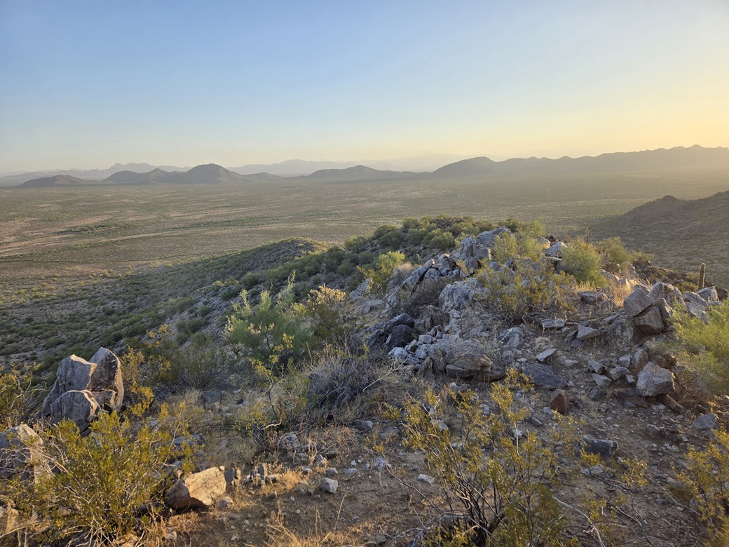
I signed into the register, then had my only summit sit-down break of the morning. I relaxed for a few minutes and drank some liquids and enjoyed the views and of the quiet. I was tickled to get this peak in and it may have been my favorite of the three.
Going down, I kept to the same ridges and slopes, going slow down the rocky portion. I was back to my car, the time a little before 10 a.m.. Now, I was done. It was rather warm now, pushing 88°. I was happy to have gotten a threesome of peaks. I also got a very good sense of the roads and of the access back in here.
I changed out of my sweaty and nasty clothing and into some shorts and a tank top. The drive out went well, and I stopped at the rest area south of Wickenburg to "rest". After "resting", I got back on the highways and headed back to my hotel room, where I showered and napped, before heading onto campus.
The weather did get active in parts around Phoenix. Some local flooding occurred, but where I was, we just got some light rain. It stayed mild in town, temperatures barely above 100°. but very sultry.
Two days later, I would return for another pair of peaks, south of Wickenburg.
|







|